Summer 2022 Vacation photographs
Photographs are shown in chronological order.
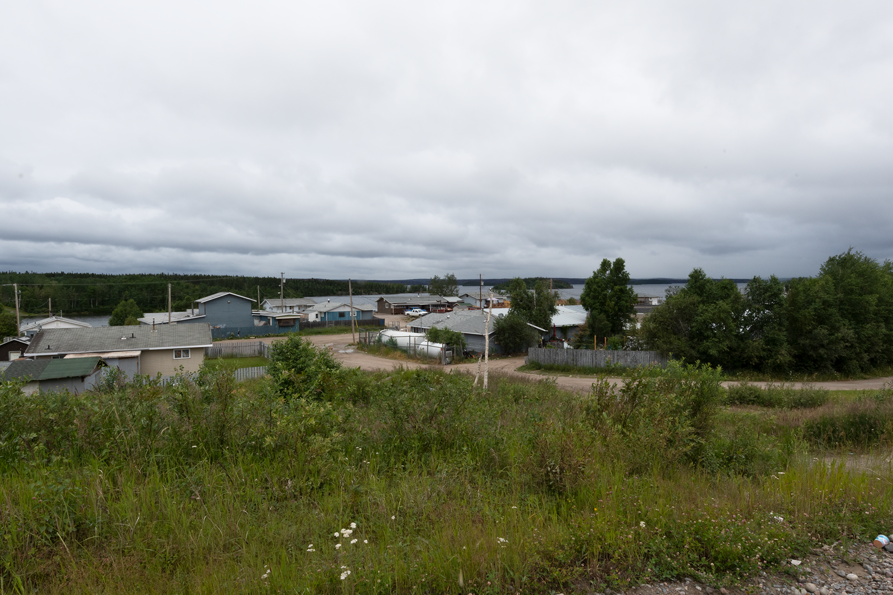
The Town of South End, Saskatchewan, on Reindeer Lake.
Another photograph of South End.
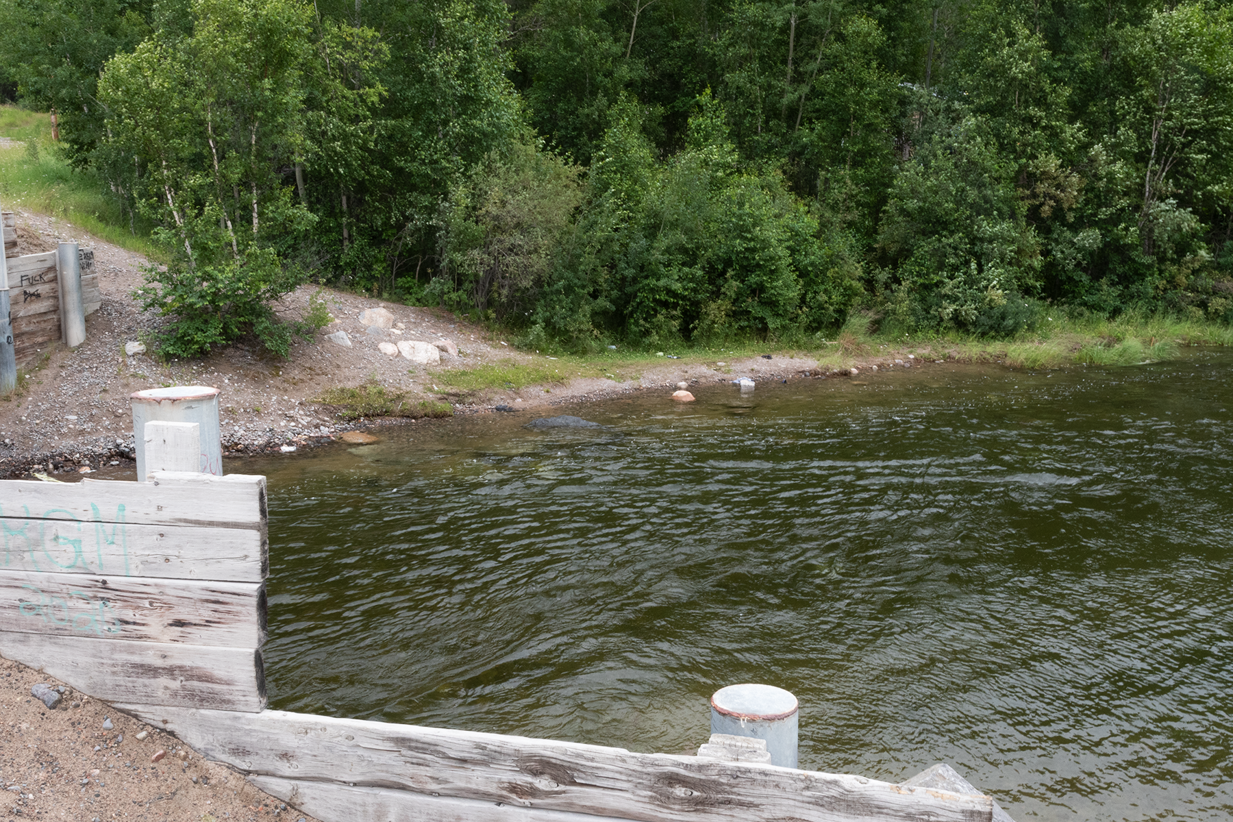
A float plane base on an inlet to Reindeer Lake.
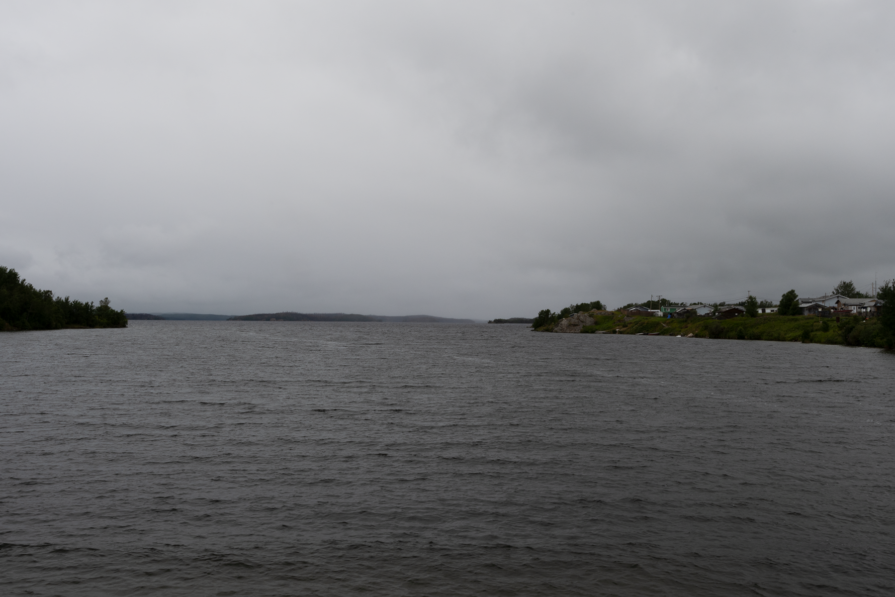
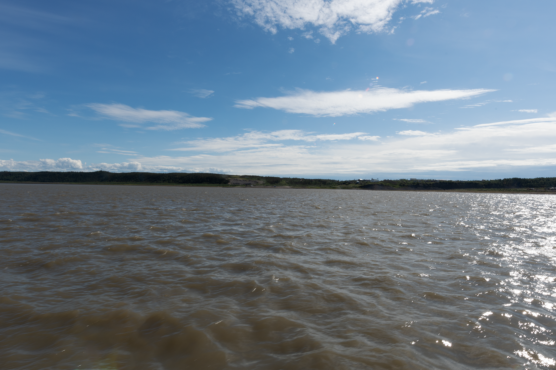
An inlet to Reindeer Lake.
The bay east of the above inlet.
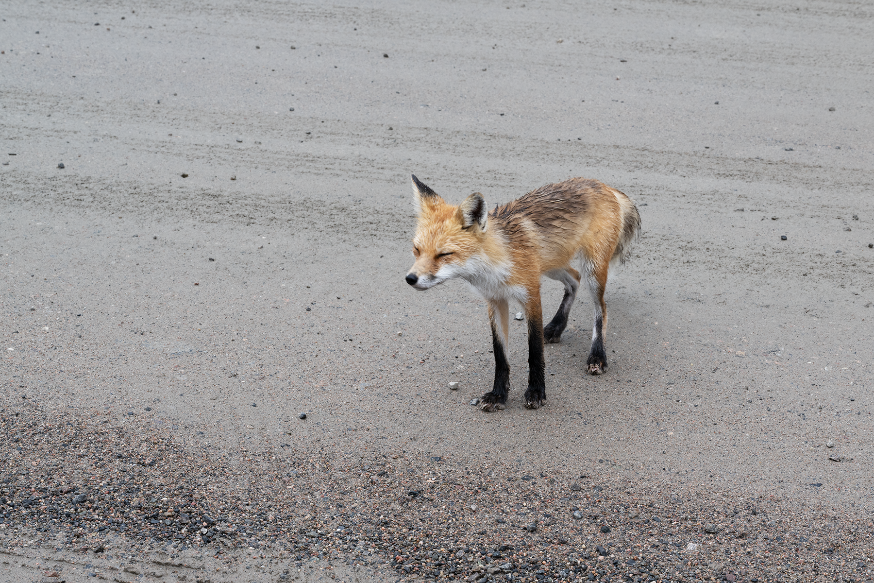
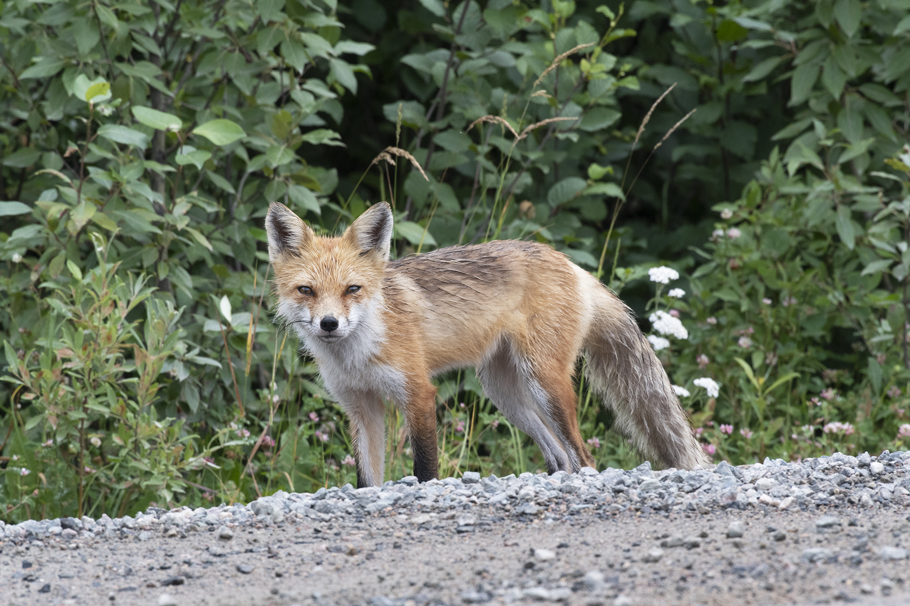
I camped for several days on the road leading to South End. I encountered this fox the first day, a rainy and dreary day.
These foxes near towns and camps are very tame. This one came within 5 feet.
On the other side of the road - lots of trash here to keep him happy.
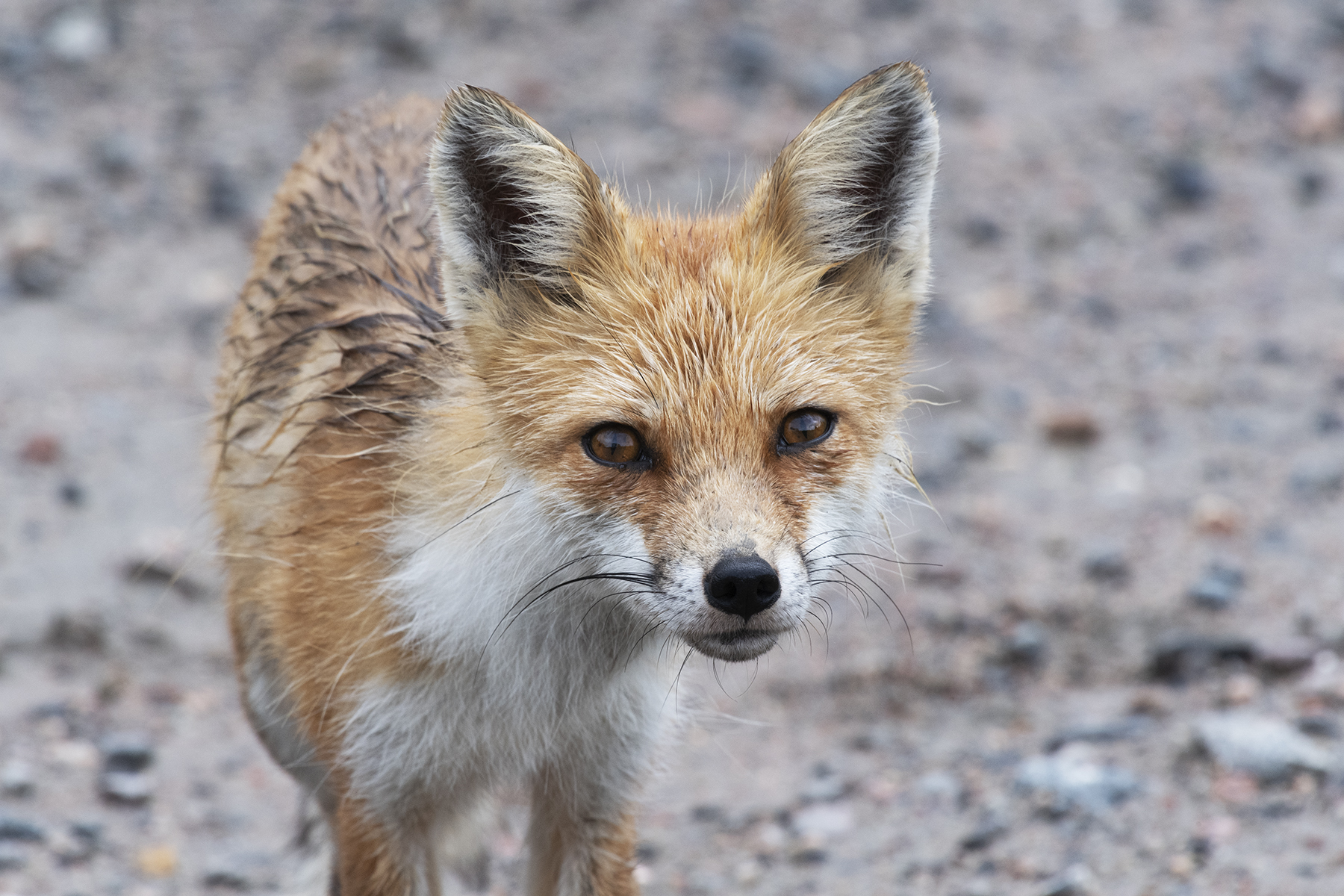
Nice shot of the little guy.
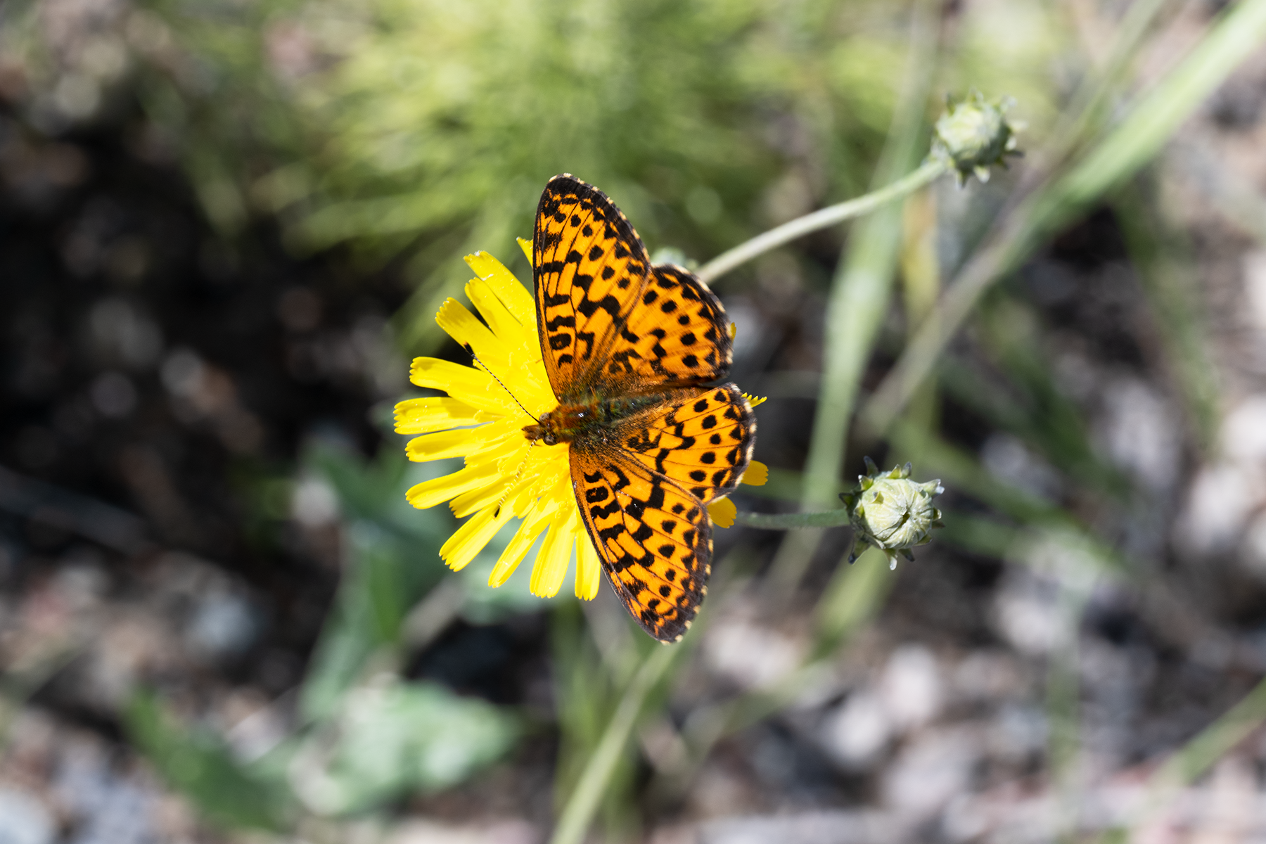
Boloria chariclea grandis, aka the Purplish Fritillary. These were very abundant on my entire trip, especially in Manitoba and Saskatchewan.
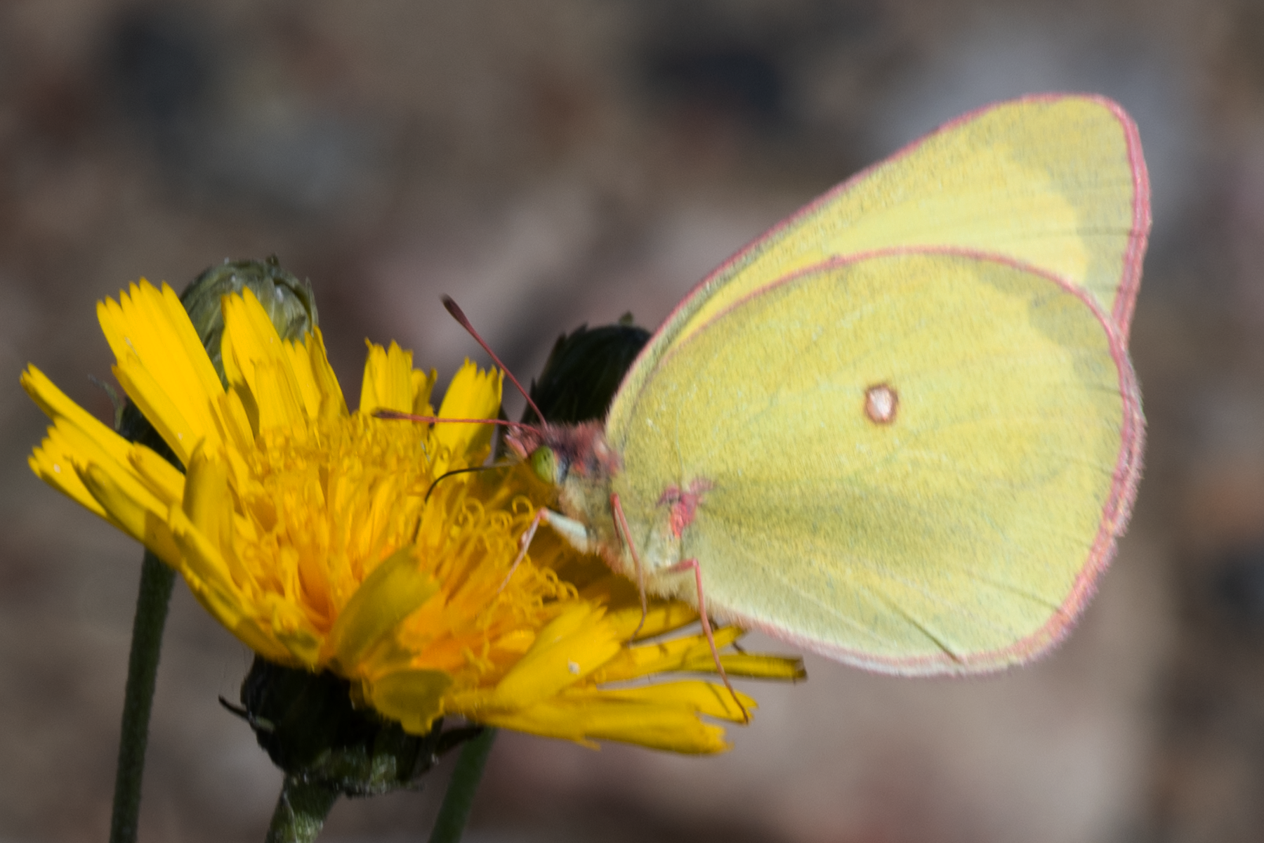
A Colias interior, the Pink-edged Sulphur.
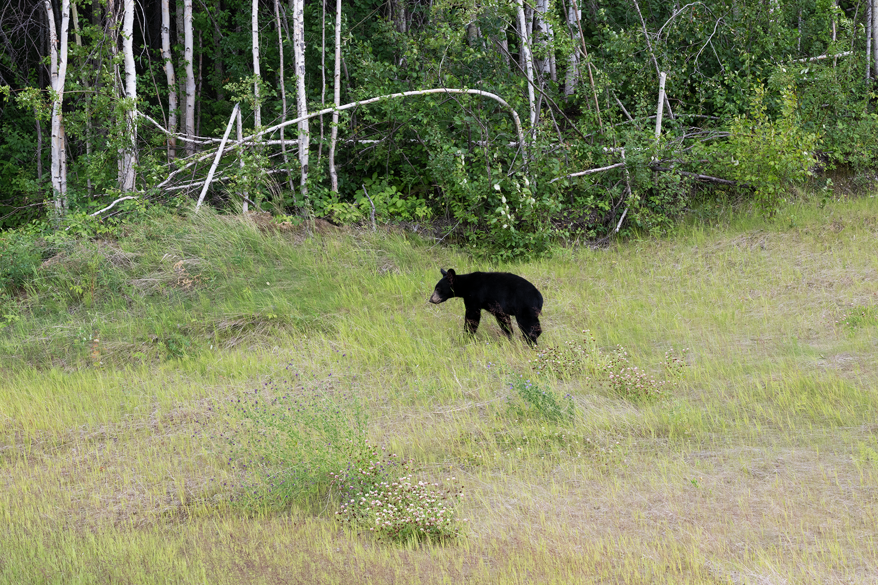
Black bears were common on the trip, observed roadside in the early evening.
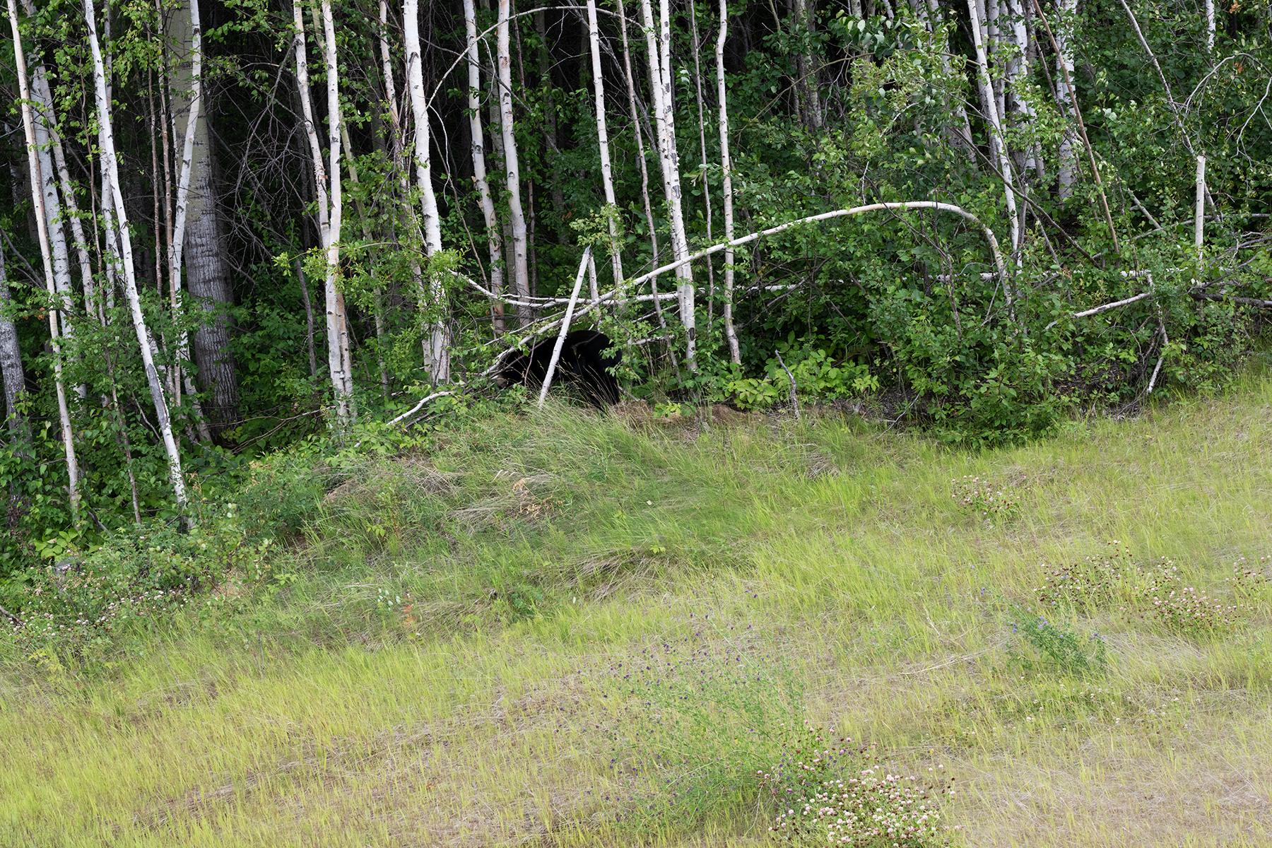
Here he is ducking into the brush. He stayed there just out of view.
Saw a mother moose and two calves the next morning, but they were camera shy and ducked into the trees.
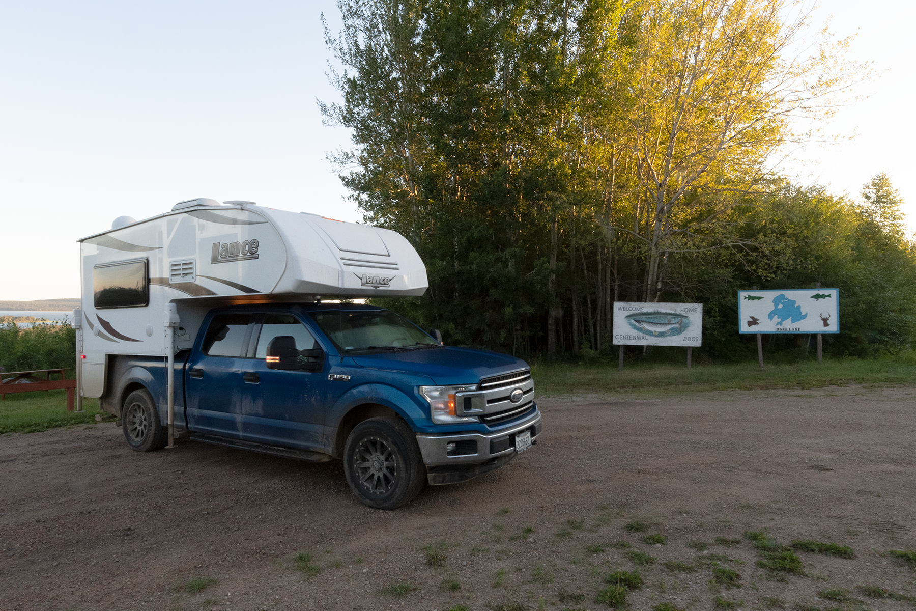
Now I am in west central Saskatchewan, just outside the town of Dore Lake.
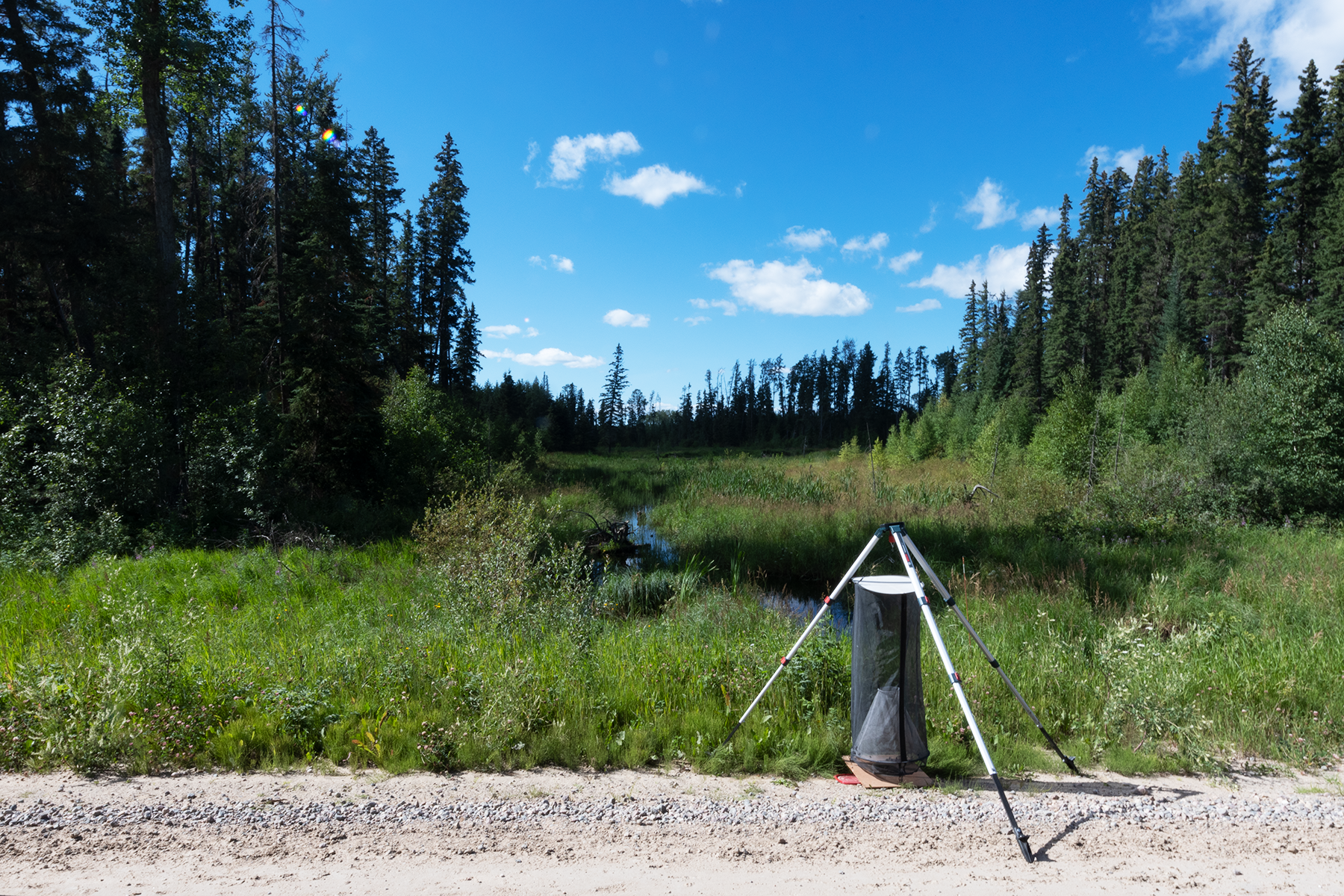
Several days later I set a trap along Sask 924. Did not have much luck, however, I did much better on a two-track several miles east. See this video of a trap from 2019 with ~120 butterflies.
A panomara of a nice nearby wetland. I spent the evening here, roadside, enjoying the scenery, and then moved down the road to camp for the night.
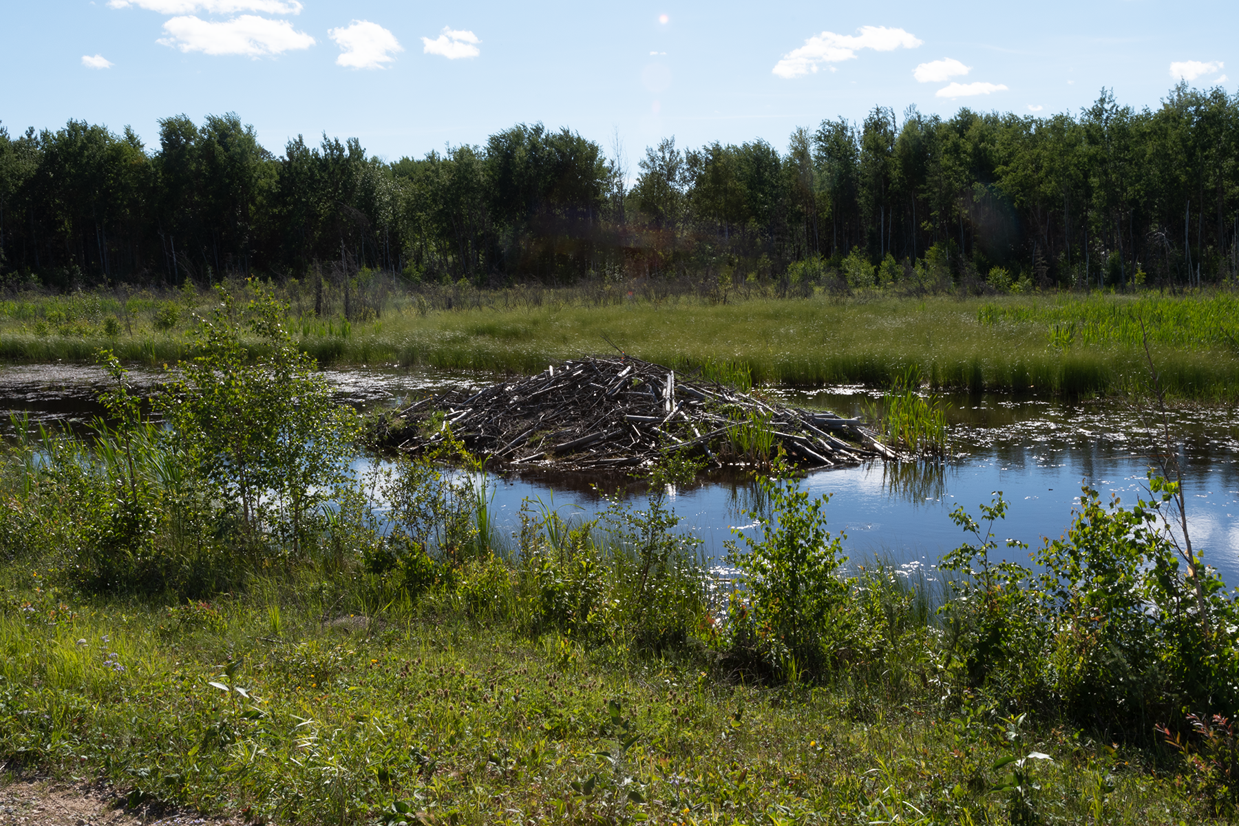
A beaver lodge on the other side of the road.
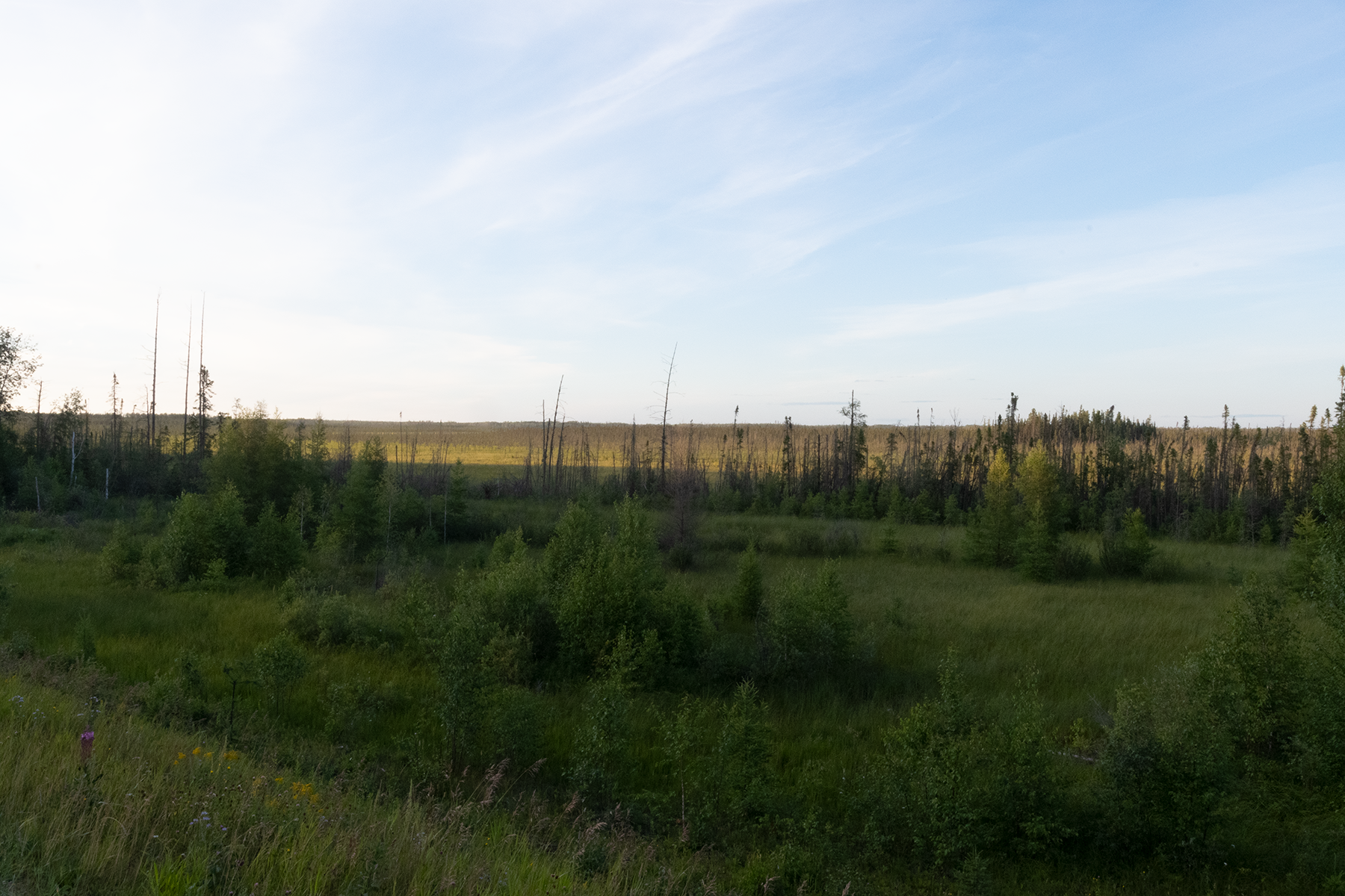
Nearby scenery at dusk.
More scenery.
I had good luck at this spot late the next afternoon, nabbing quite a few Speyeria.
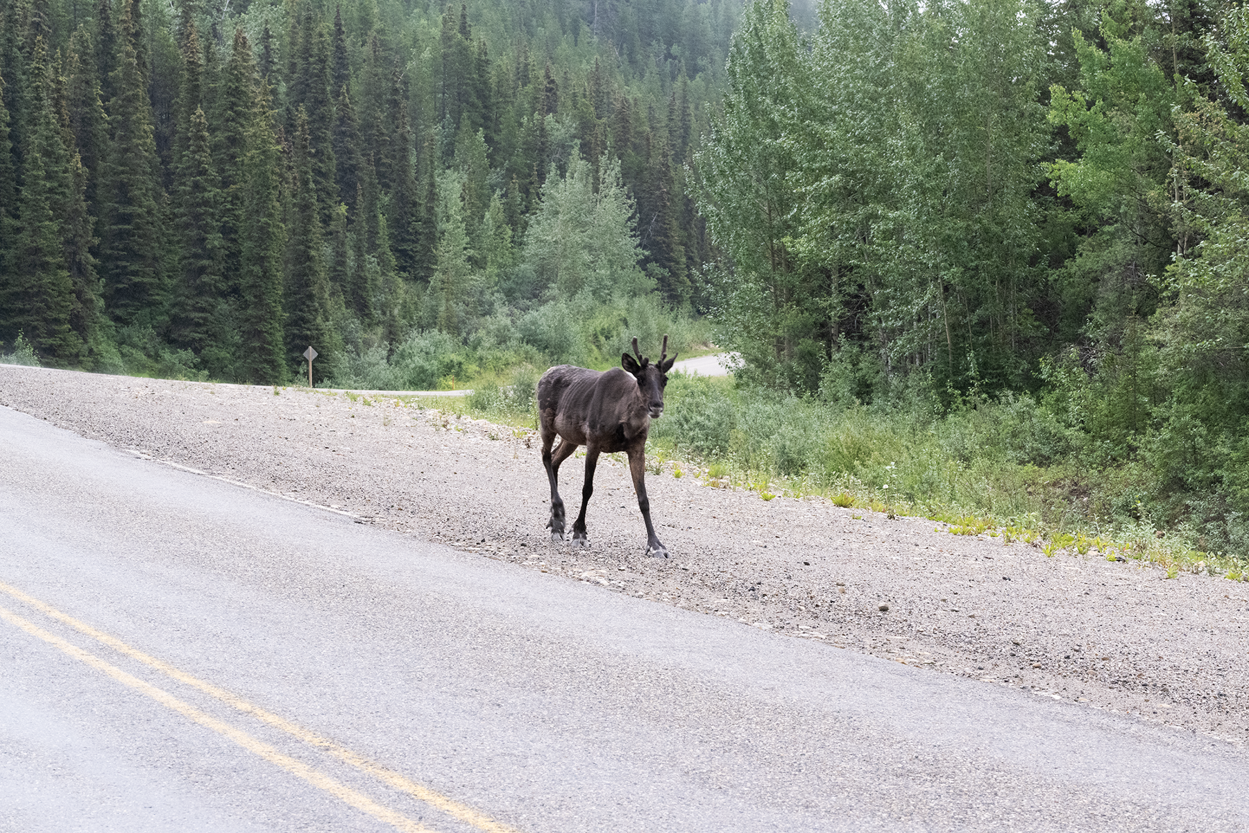
Now I am in British Columbia, near Stone Mountain Provincial Park. A dreary day, but I saw several caribou along the highway, taking the easy route. This one passed near my truck and I had my good camera handy.
Getting closer.
Nice photograph.
The town of Toad River. Not much here.
Camped roadside just north of Toad River.
Nice sunset after a rainy day.
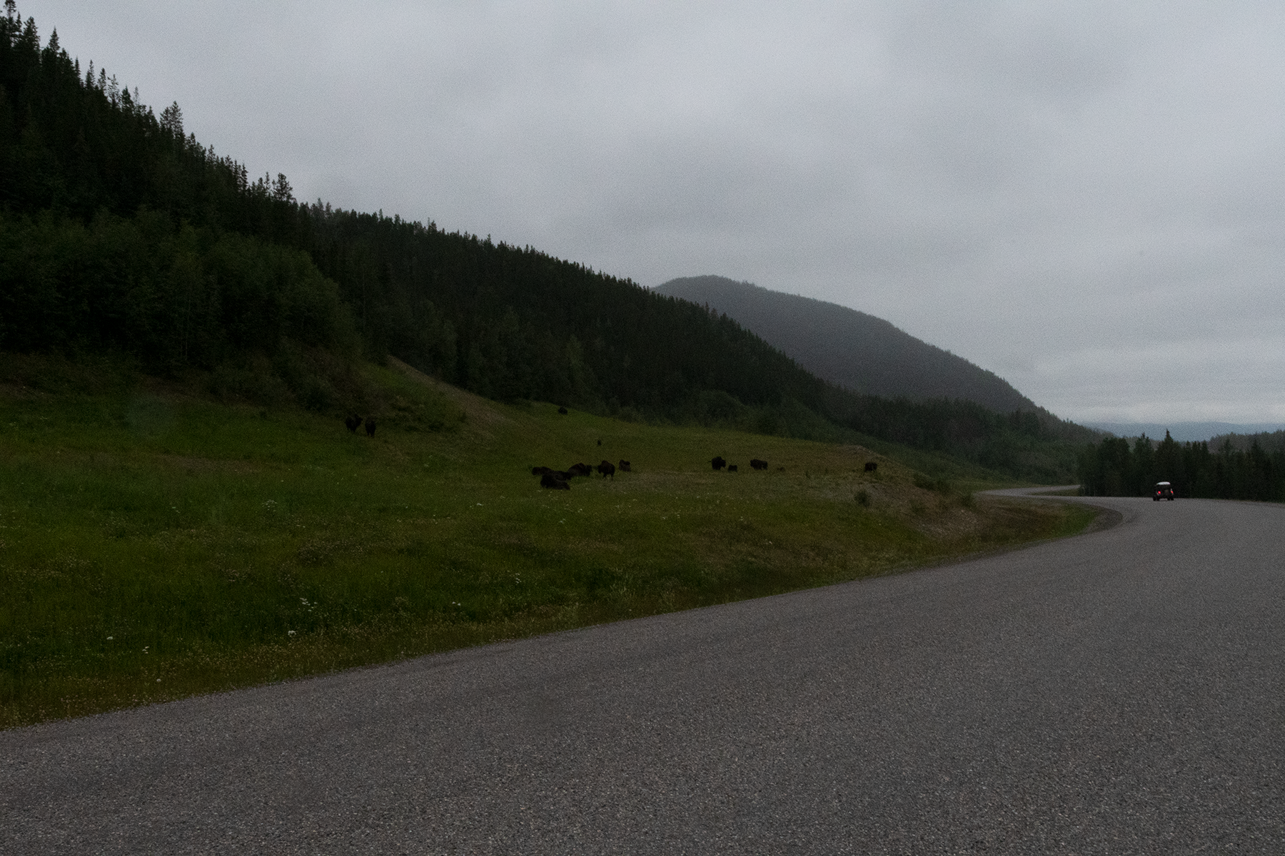
First bison sighting. These were introduced, after they were extirpiated in the late 1800's.
Another group just down the road. These were common in Muncho Lake Provincial Park.
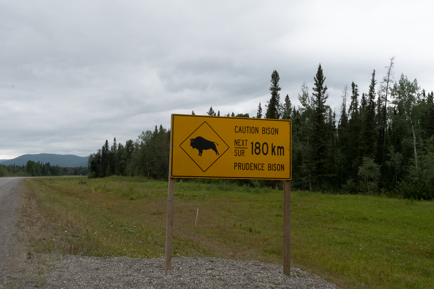
One of the many animal warning roadside signs.
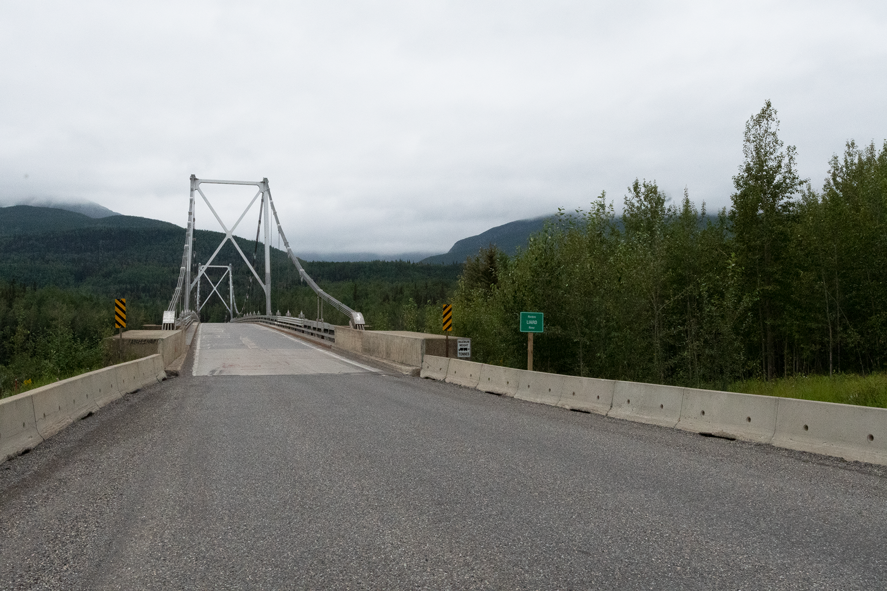
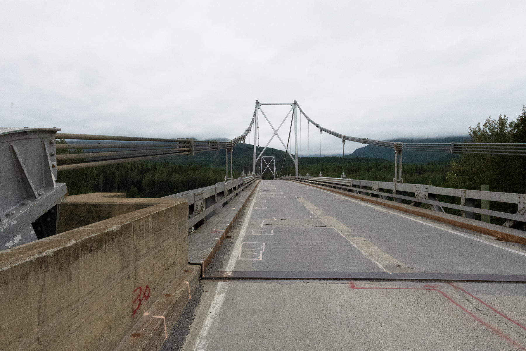
Crossing the Liard River headed north.
Looking to the south.
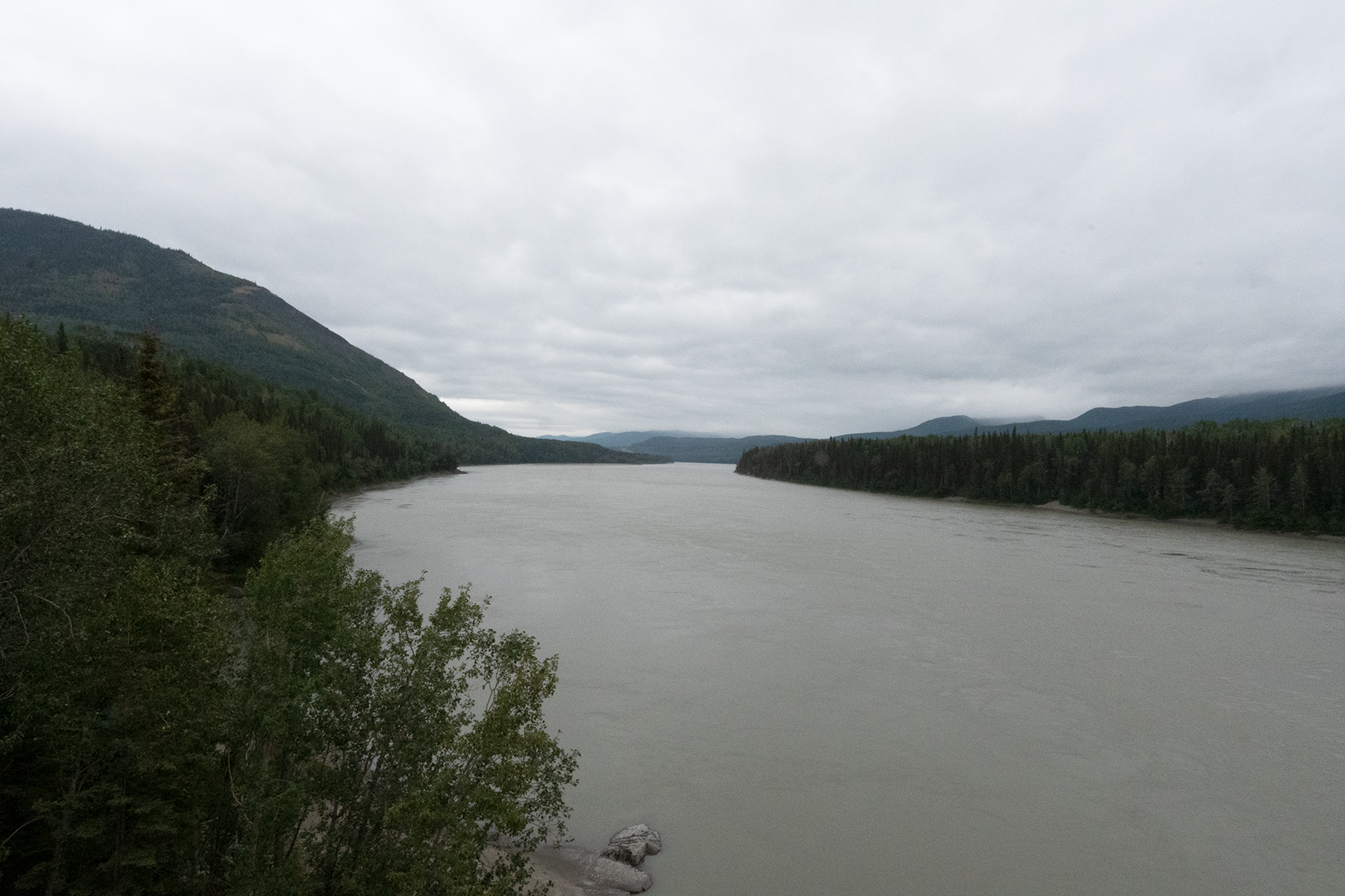
Downstream.
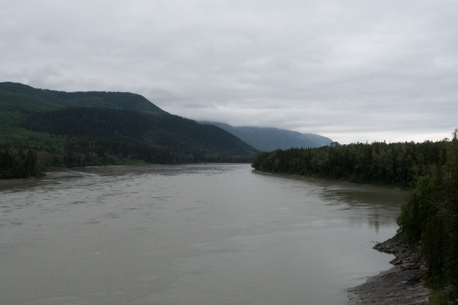
Upstream.
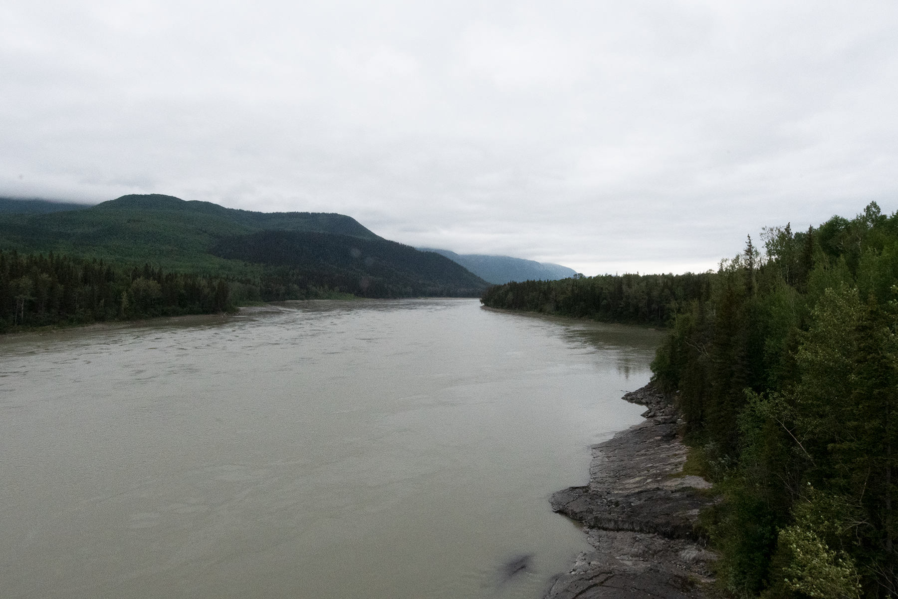
Another upstream photo.
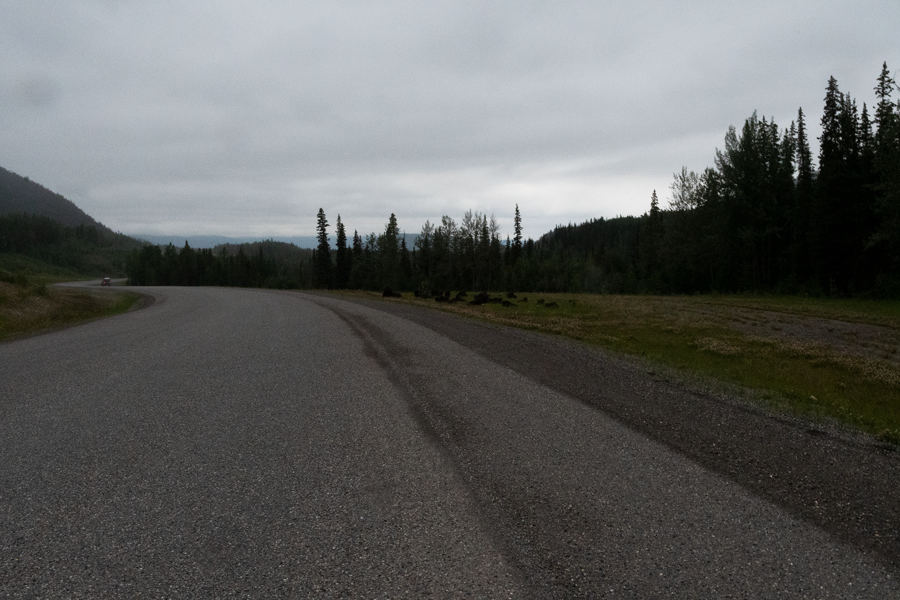
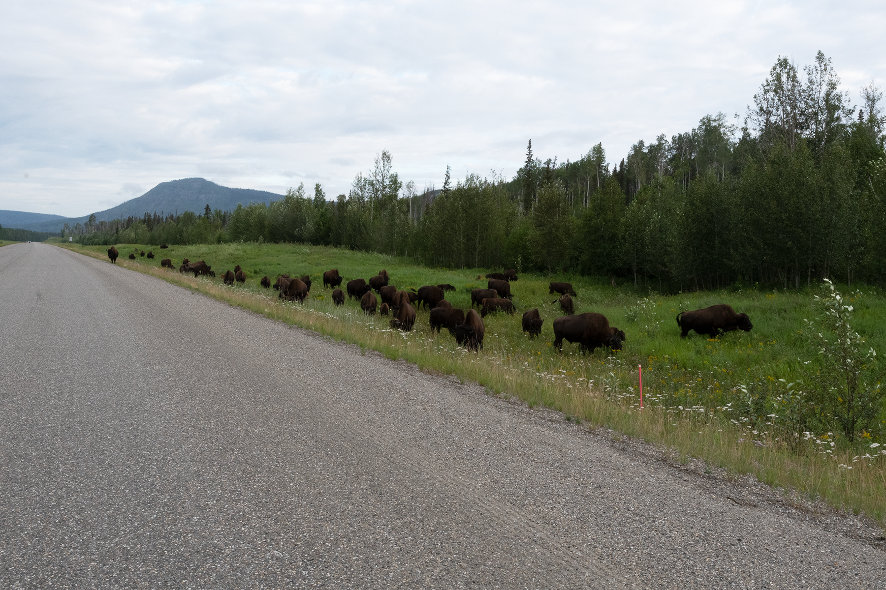
Another roadside herd.
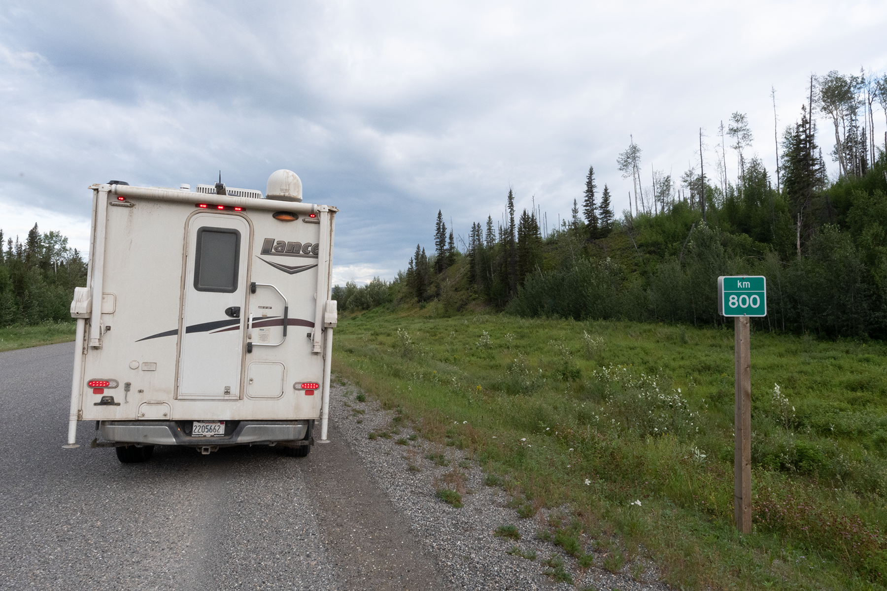
The 800 km mark on highway 97, which runs from Dawson Creek, B.C. to Watson Lake, Yukon Territory.
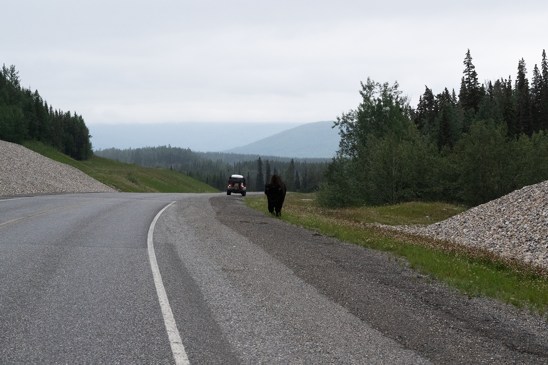
The fellow in the jeep was also photographing the bison.
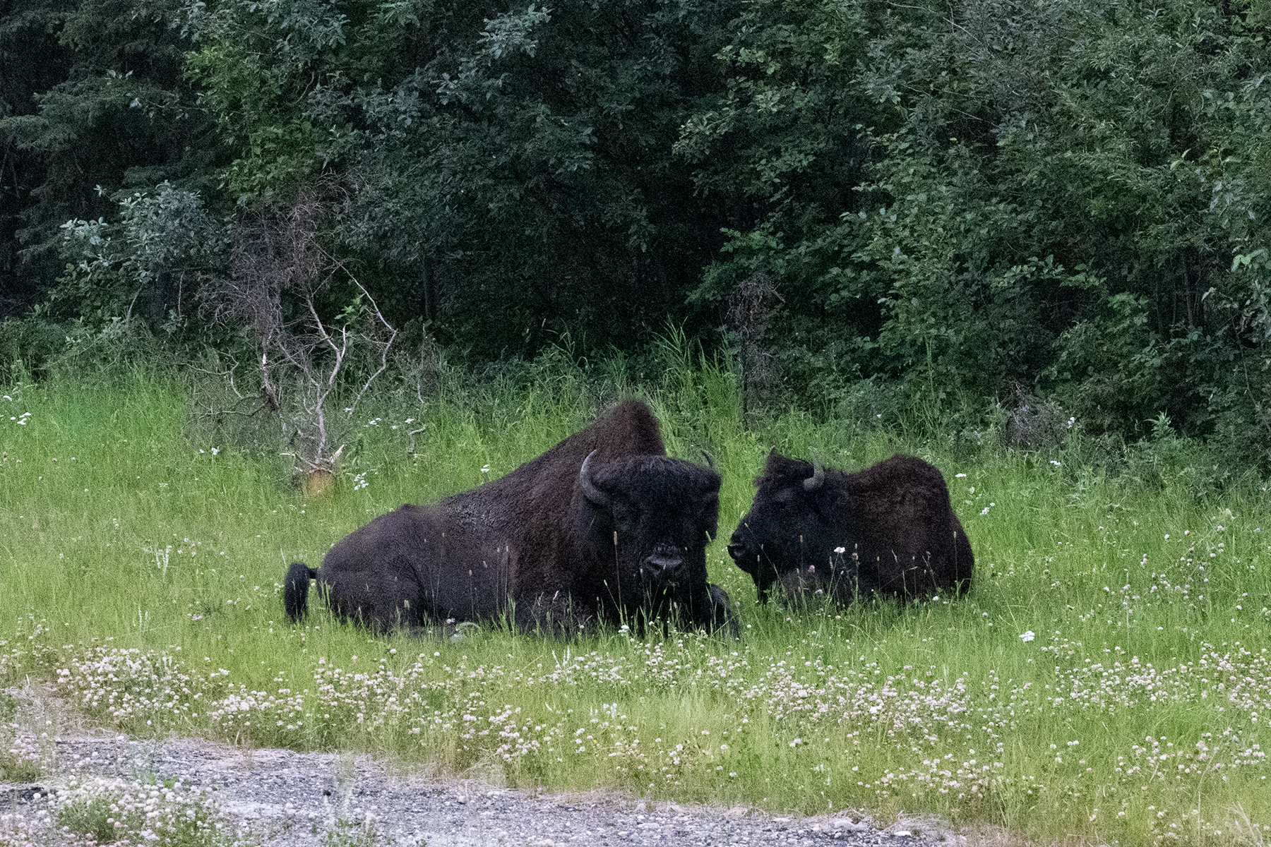
Two more.
These seemed used to people, but I stayed close to the truck when I took these photos.
These were part of the larger group.
Never gave me a glance.
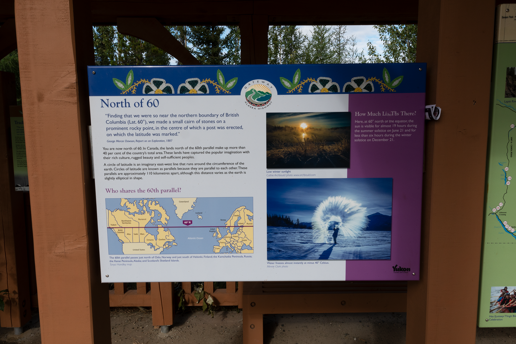
Now at the 60th parallel. These signs describe the border history.
First sign.
Second sign.
Third sign.
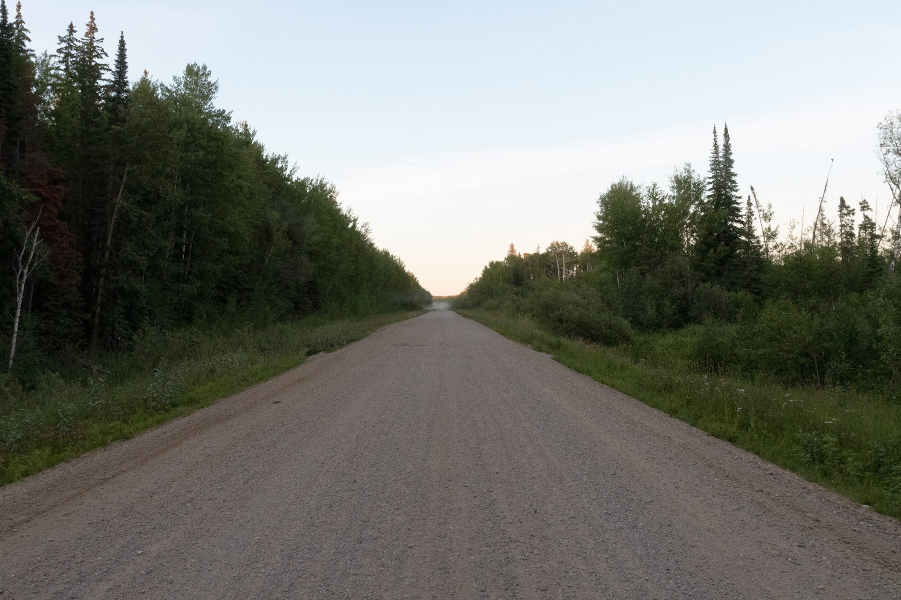
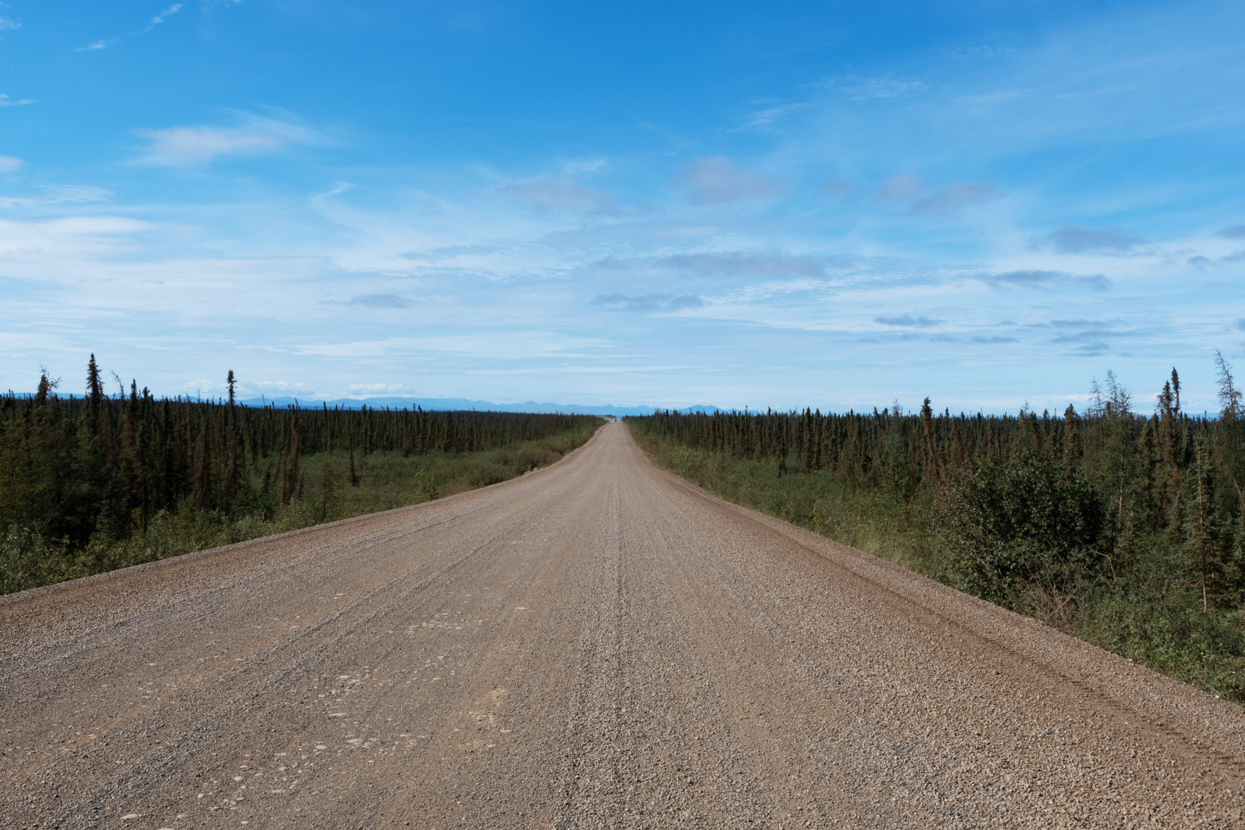
I am now in the Yukon. This is Highway 4, mostly an improved dirt road that runs from Watson Lake to Carmacks, about 500 km. Looking north. Pretty boring, for the most part.
Looking south, the bridge over the Yukon River.
Now I am about 1000 km to the north in the Yukon, ready to cross the Klondike River and head up the Dempster Highway for the 5th time.
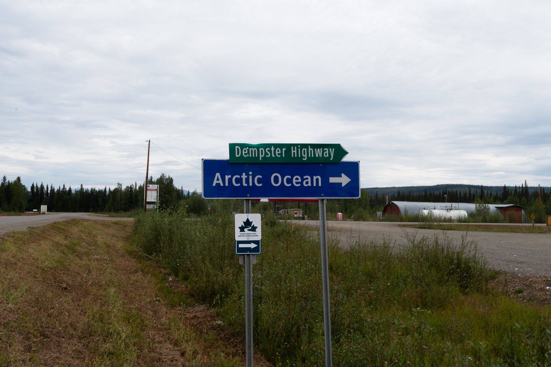
At the intersection of the Klondike Highway and the Dempster Highway, which now goes to Tuktoyatuk, a town on the Arctic Ocean. I have never been to Tuk, as the road was just extended in 2018, and I would not have enough time on this trip.
Those are unmanned gas stations in the background, which are much cheaper than the staffed gas stations in towns.
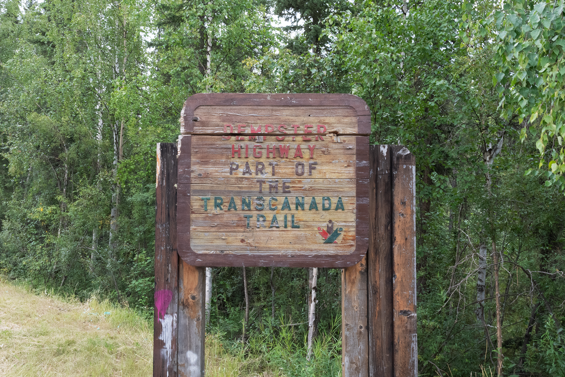
The start of the Dempster. See my 2011 trip for more photos.
The next gas station is about 350 km north. I got here Sunday night with a flat tire, and had it fixed first thing Monday morning. Four other folks had flats, and one guy had to buy new tires.
Now I am in Northwest Territory, at Midway Lake. They have a festival on August 1st, the Labor Day of the north. The large white building is the bandshell. See more photos in my 2011 trip.
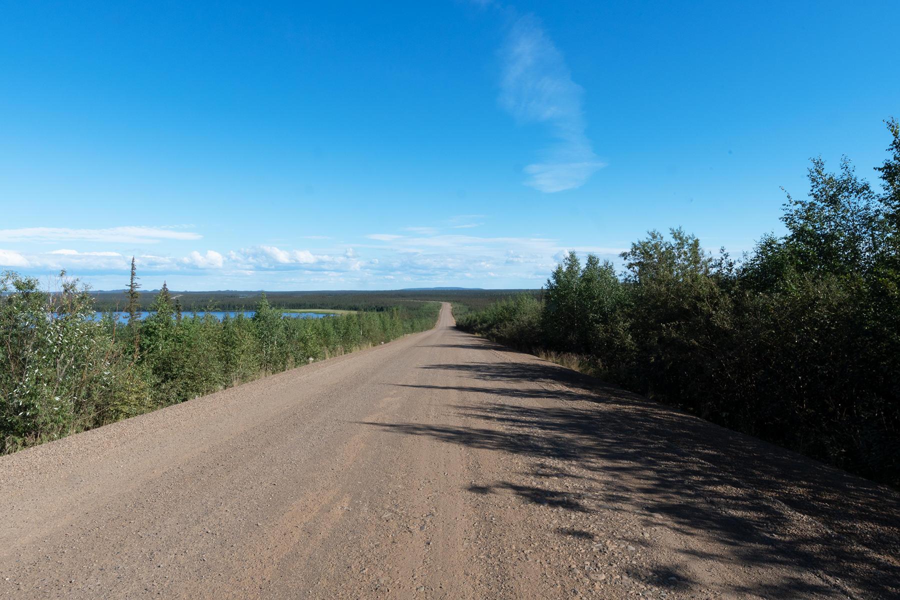
Looking up the road from Midway Lake.
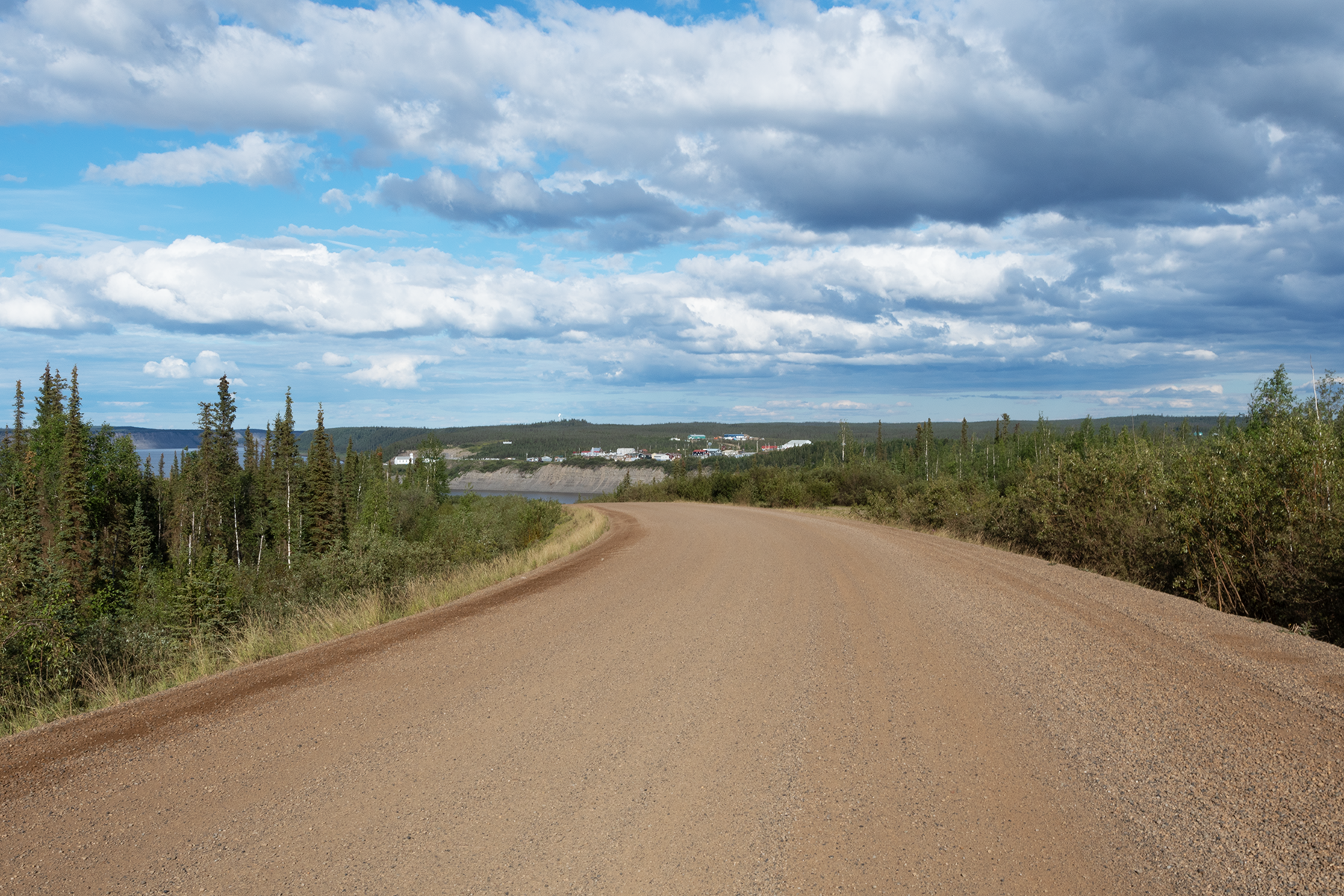
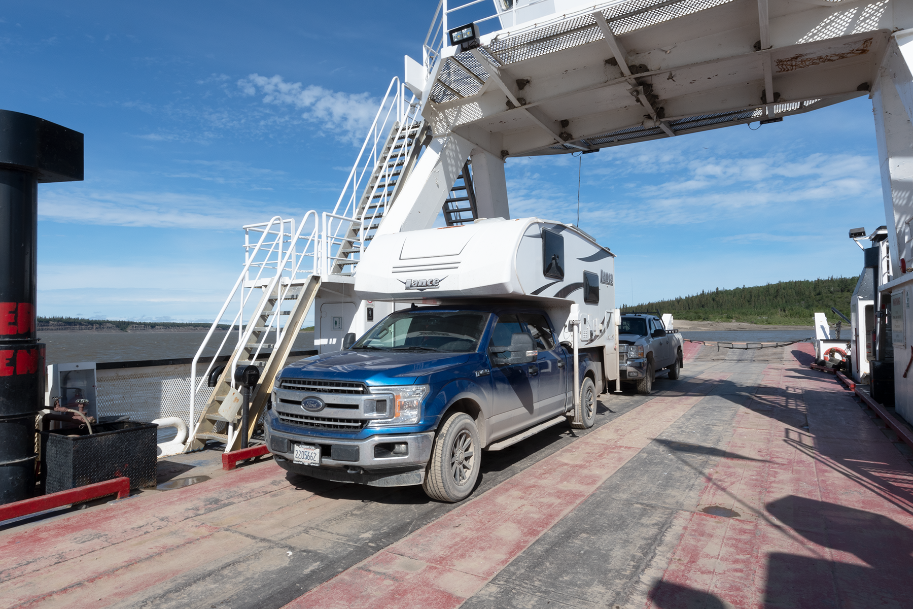
Headed to a ferry crossing, near the town of Tsligehtcic.
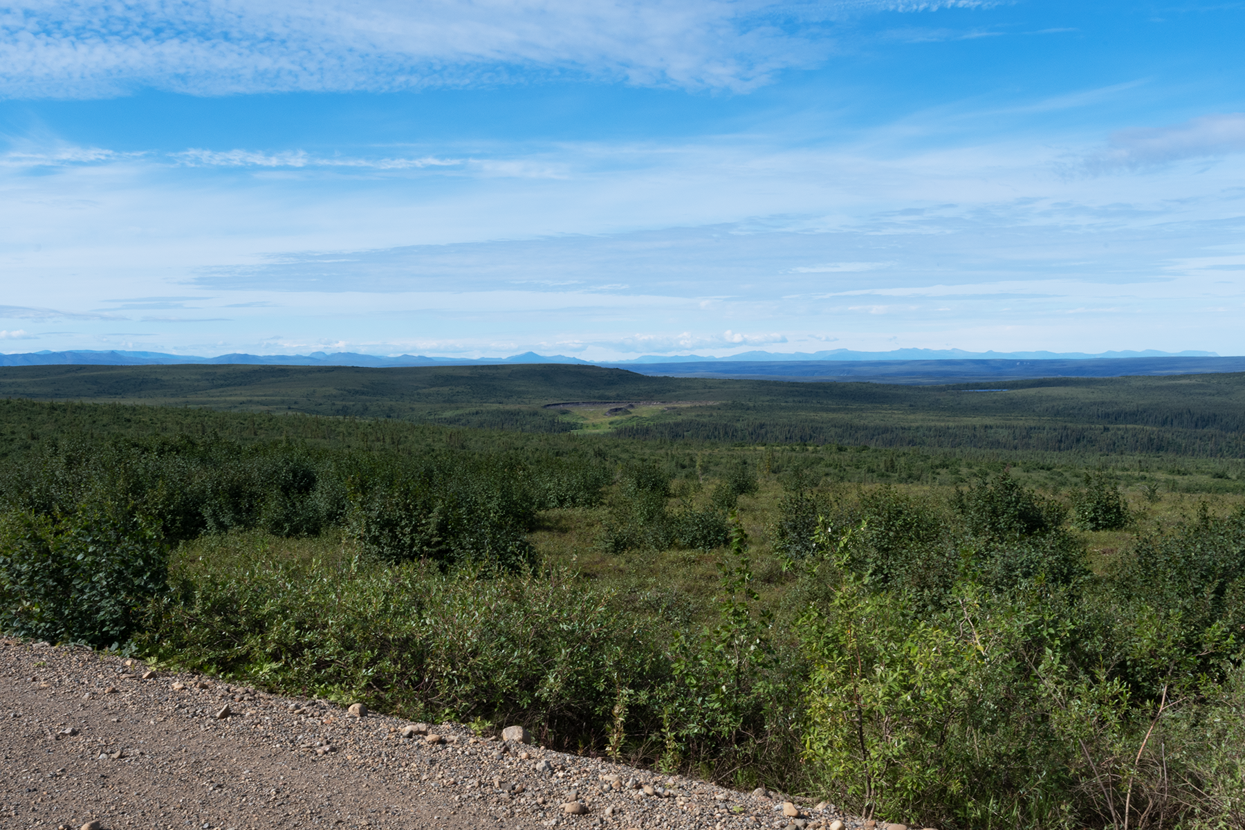
The next day I drove to Inuvik on a cold and rainy day. This is a good butterfly spot, as lots of fens cross the road at this stretch.
A close up.
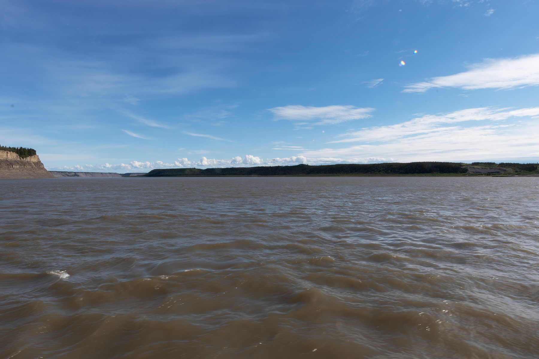
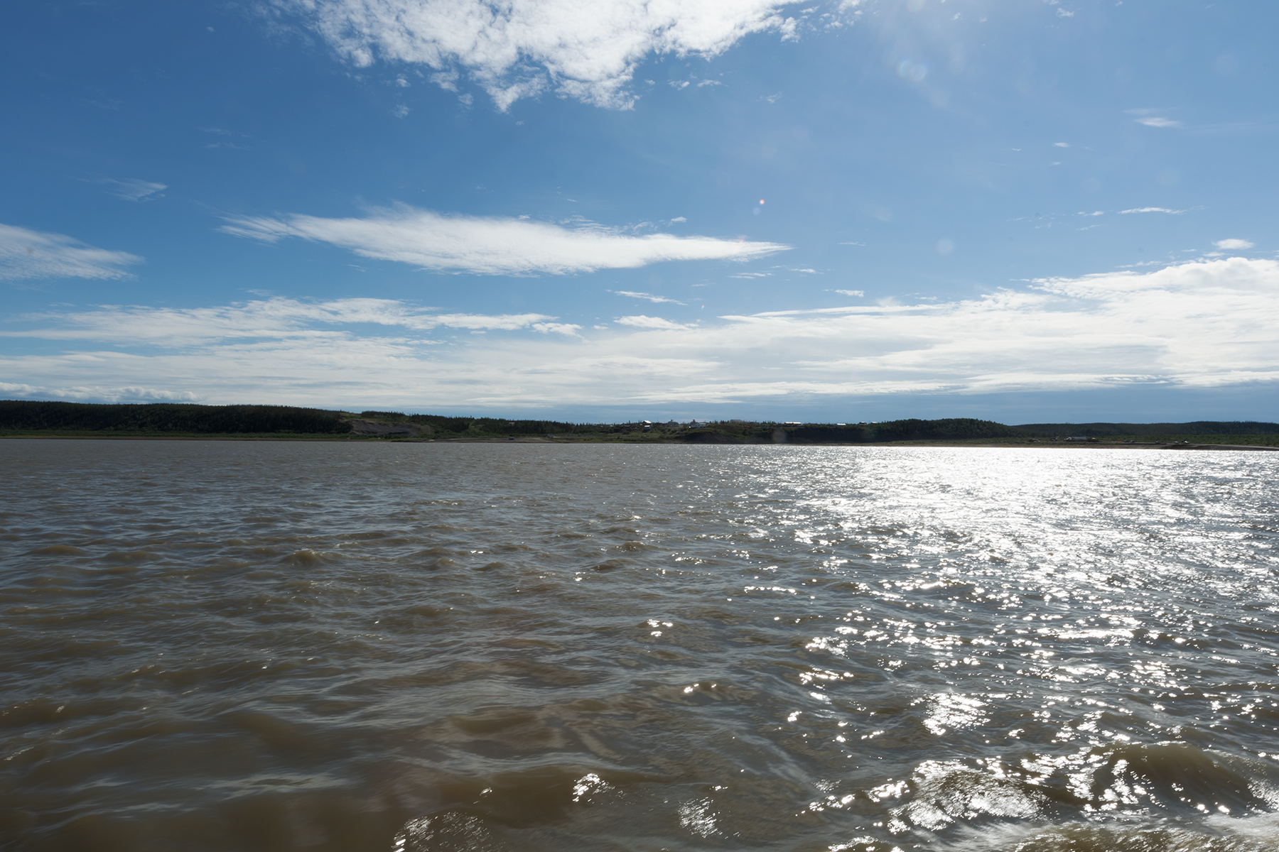
Drove back to Midway Lake later that day. Had to take a ferry across the Mackenzie River.
Looking downstream.
Looking upstream.
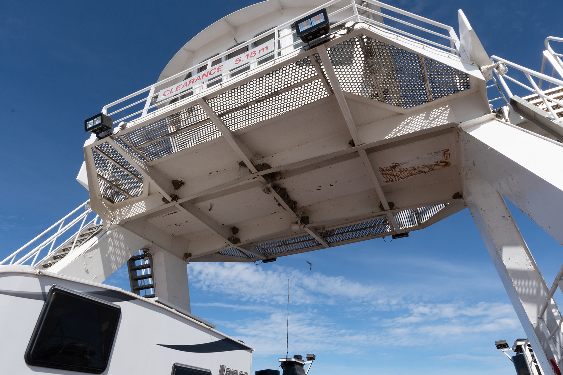
Swallows nest in the ferry.
The town is Tsligehtcic.
A road shot.
The Richardson Mountains are in the background.
Another shot of the mountains.
More scenery, close to the mountains.
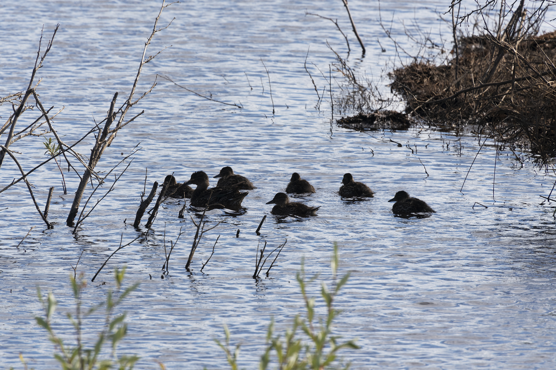
Mom and her crew in a roadside ditch.
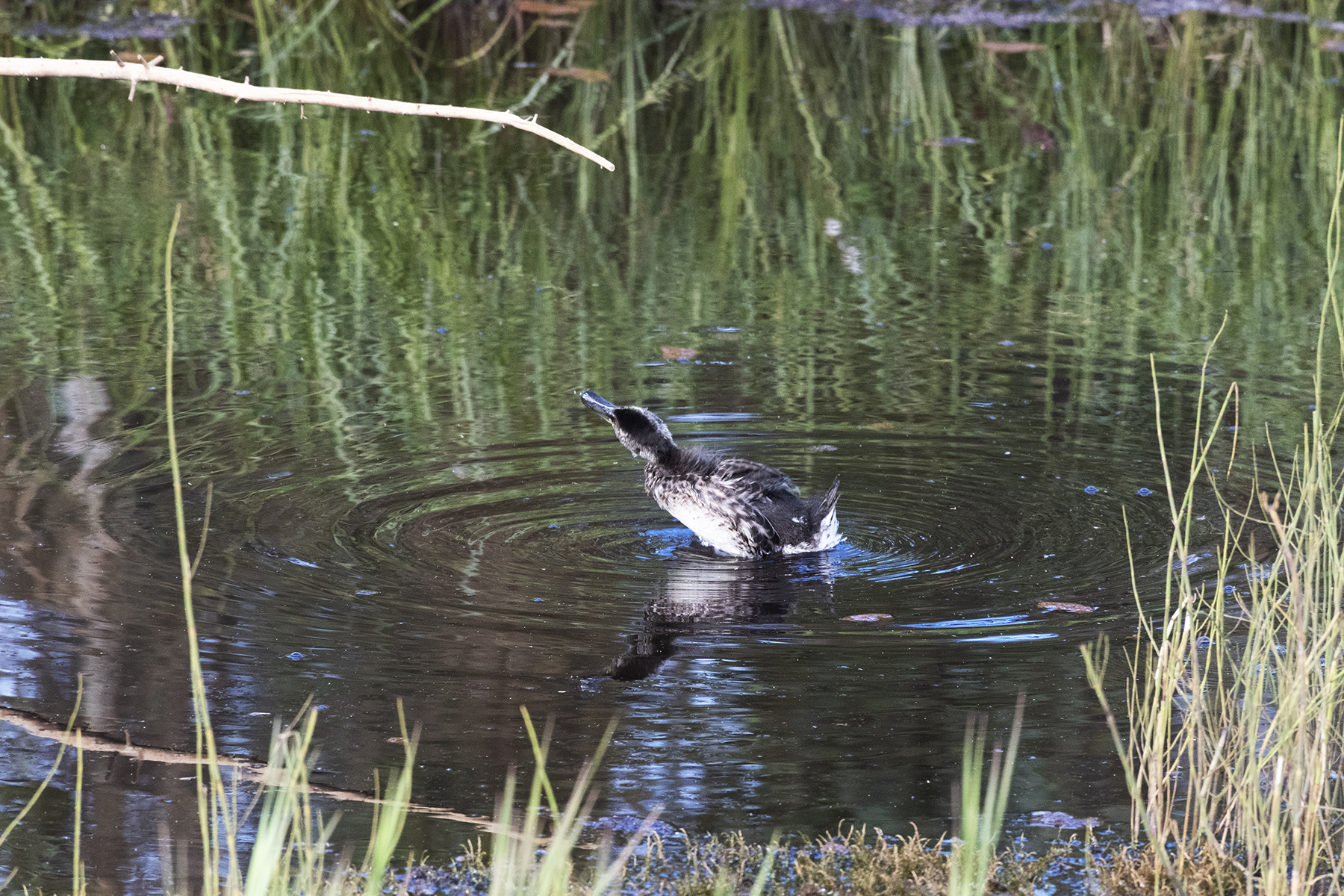
Near Midway Lake, this duck put on a show.
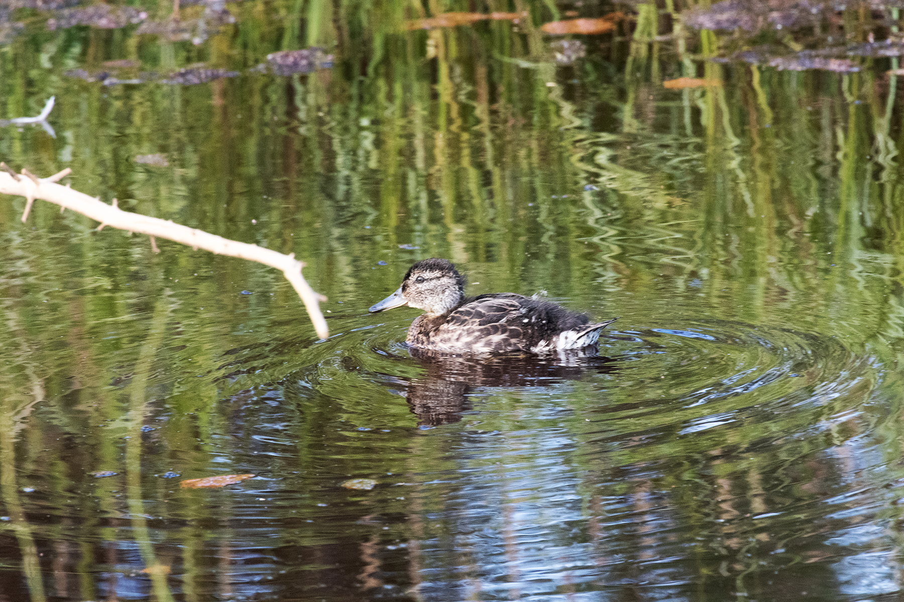
A female mallard, I believe.
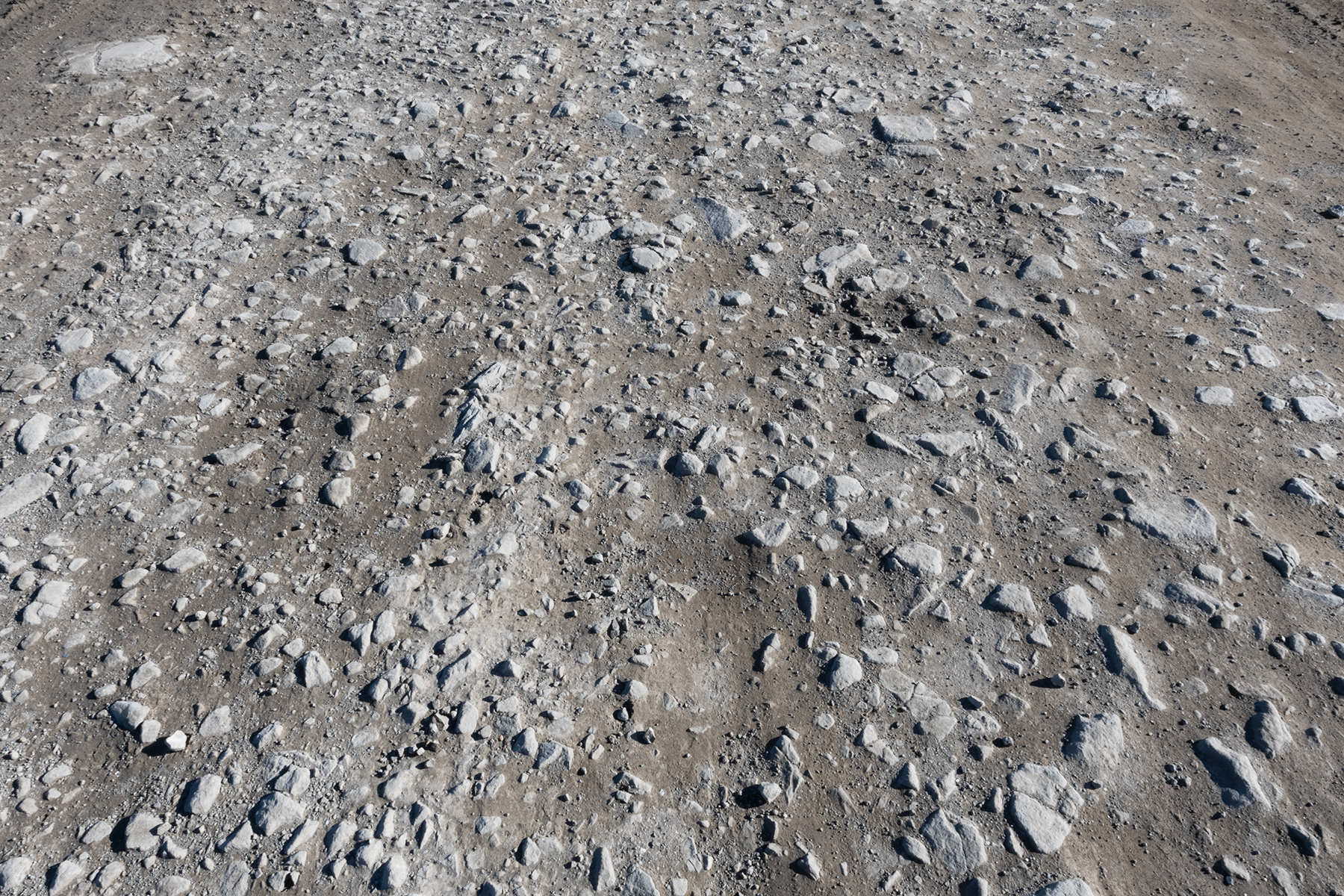
These next two shots detail the bad stretches of road. The shale pushes up through the road. These chunks are two to three inches high. Need to go about 20 miles an hour in these stretches, which is painfully slow.
This was shot parallel to the road to highlight the height of the chunks.
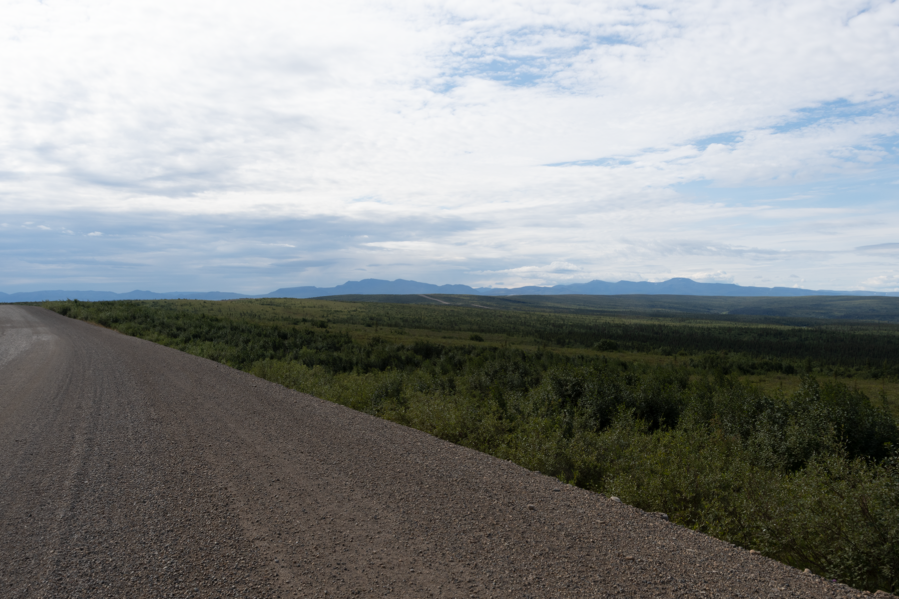
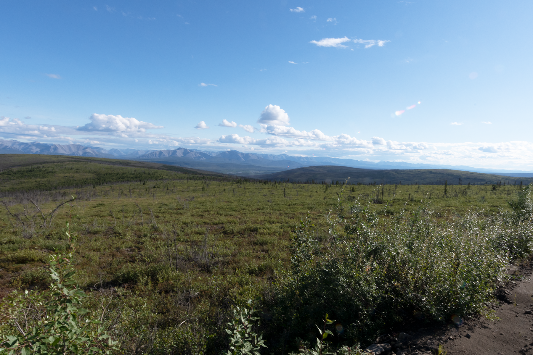
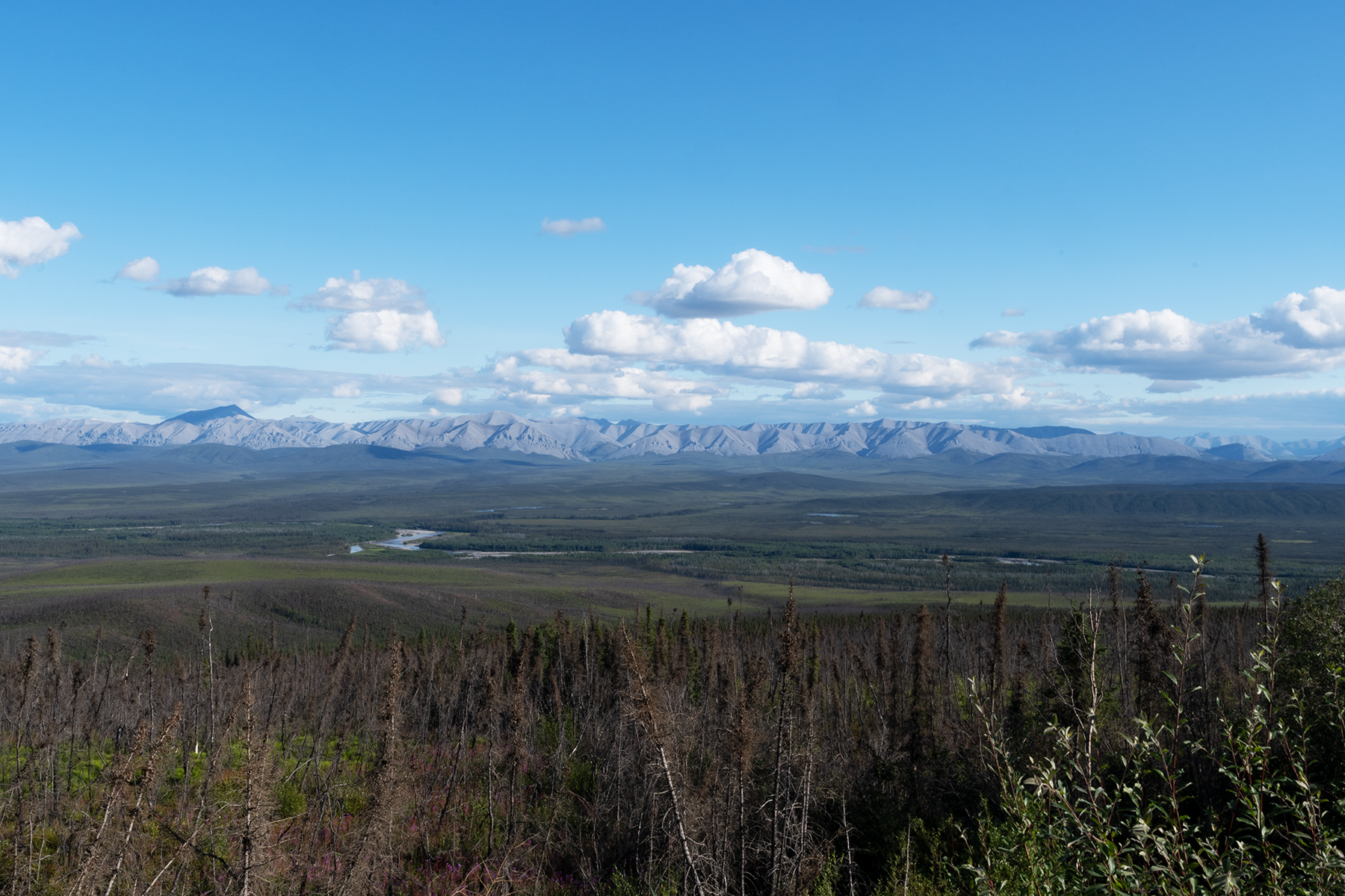
Heading back south, but took some nice scenery shots near Eagle Plains.
Another view.
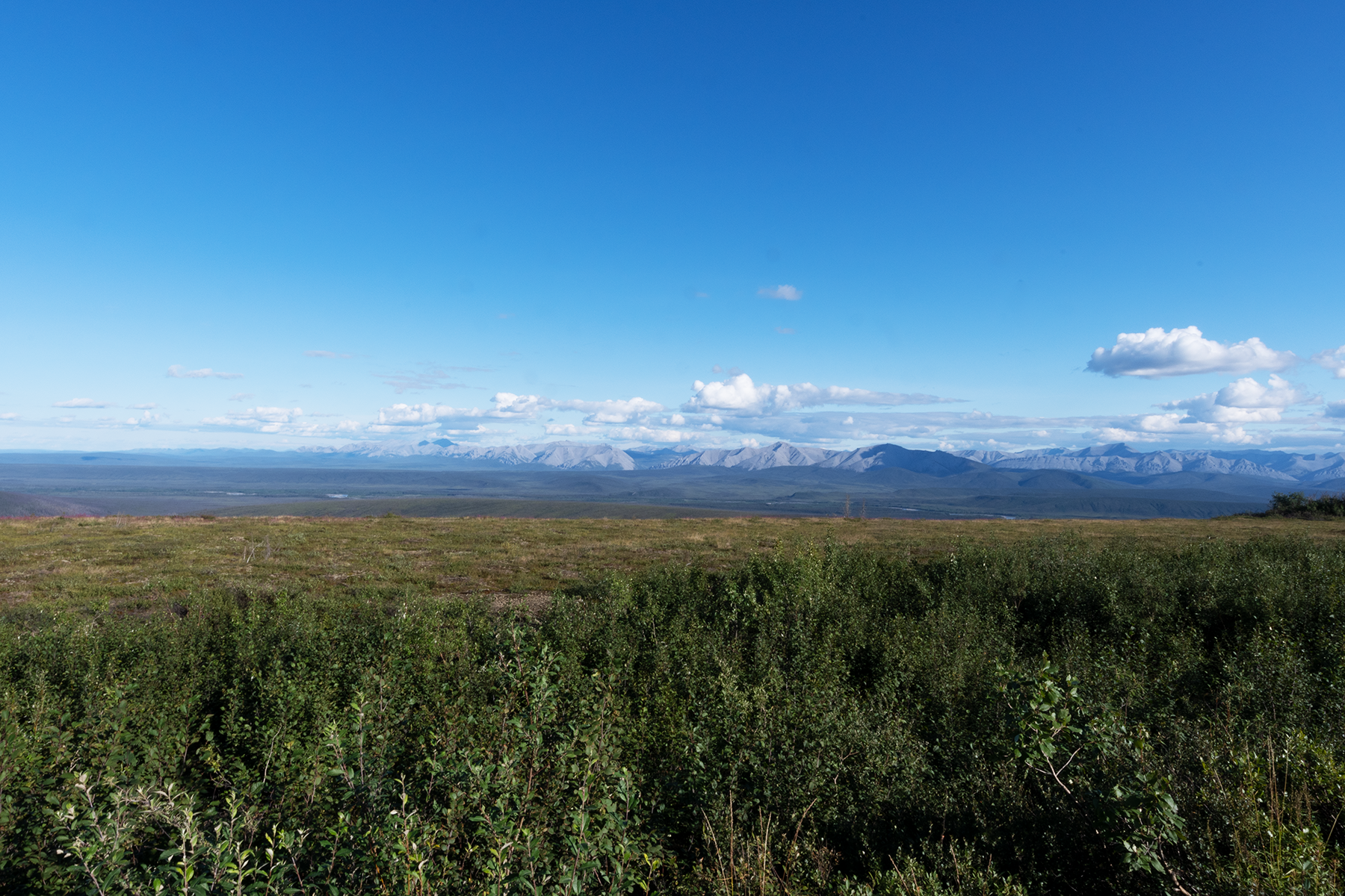
Another view, slightly to the south.
Another view.
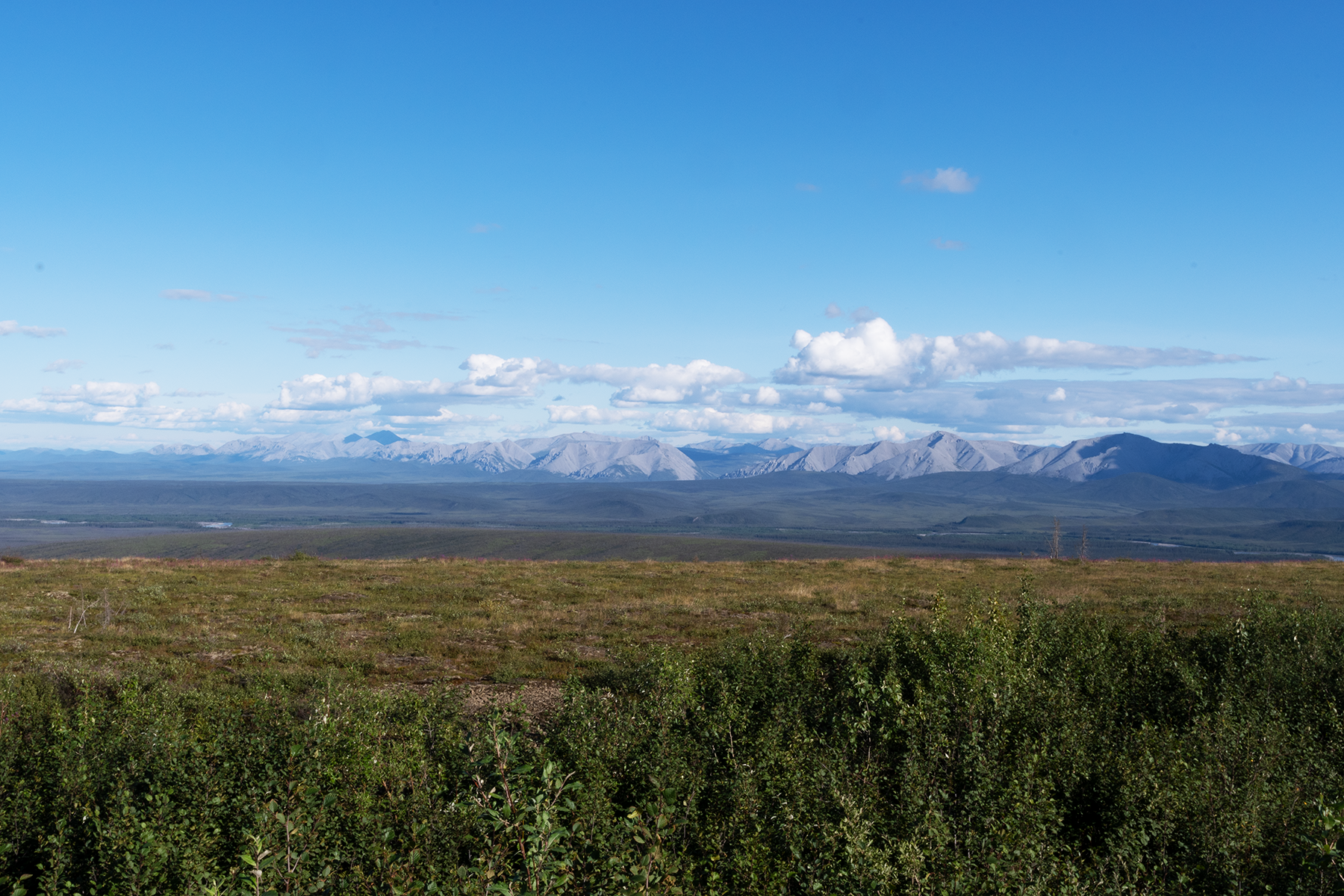
Another view.
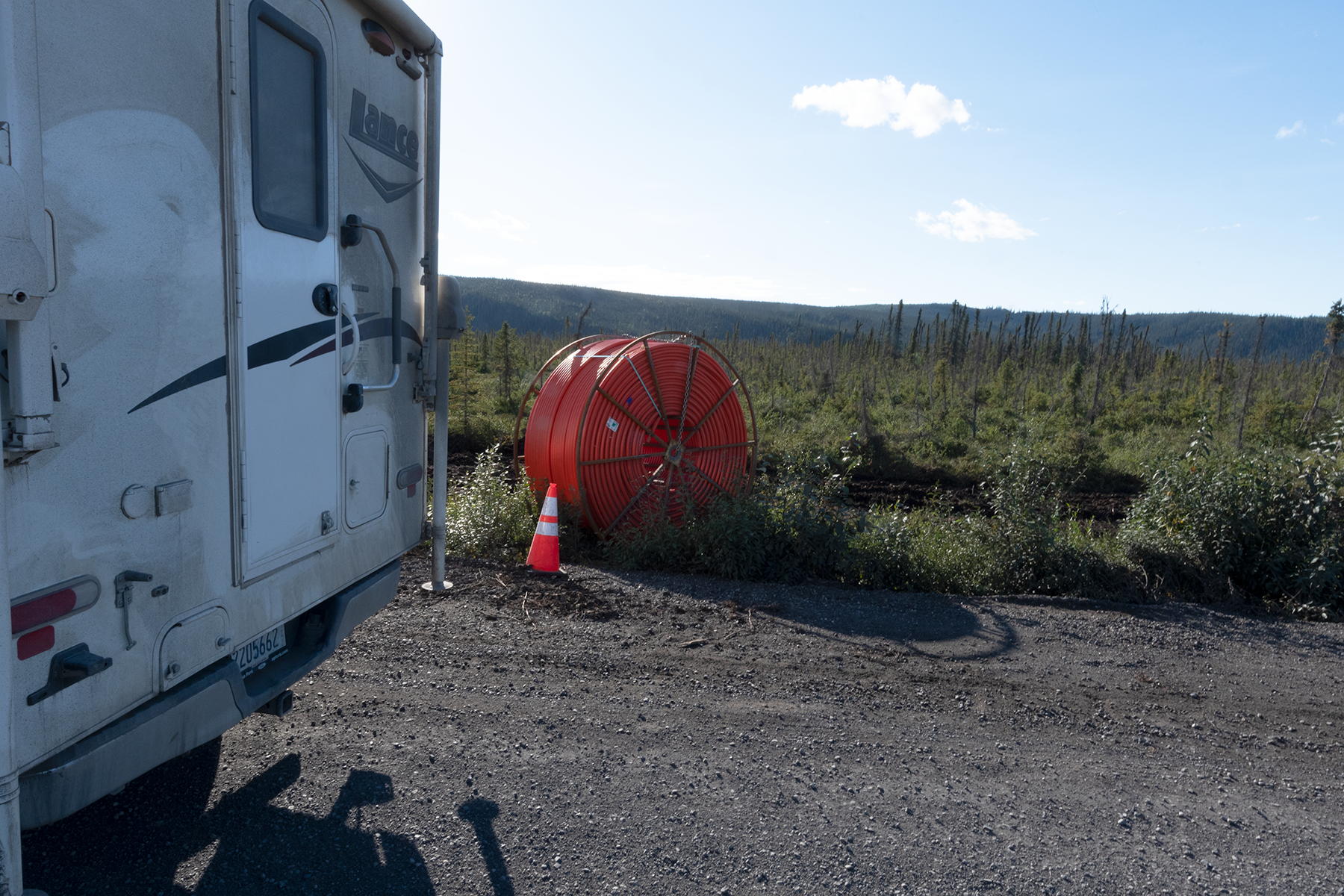
Lots of construction along this part of the Dempster. Putting in fiber optic cables.
For the second part of the vacation photos, click here.
Photographs are shown in chronological order.
The Town of South End, Saskatchewan, on Reindeer Lake.
Another photograph of South End.
A float plane base on an inlet to Reindeer Lake.
An inlet to Reindeer Lake.
The bay east of the above inlet.
I camped for several days on the road leading to South End. I encountered this fox the first day, a rainy and dreary day.
These foxes near towns and camps are very tame. This one came within 5 feet.
On the other side of the road - lots of trash here to keep him happy.
Nice shot of the little guy.
Boloria chariclea grandis, aka the Purplish Fritillary. These were very abundant on my entire trip, especially in Manitoba and Saskatchewan.
A Colias interior, the Pink-edged Sulphur.
Black bears were common on the trip, observed roadside in the early evening.
Here he is ducking into the brush. He stayed there just out of view.
Saw a mother moose and two calves the next morning, but they were camera shy and ducked into the trees.
Now I am in west central Saskatchewan, just outside the town of Dore Lake.
Several days later I set a trap along Sask 924. Did not have much luck, however, I did much better on a two-track several miles east. See this video of a trap from 2019 with ~120 butterflies.
A panomara of a nice nearby wetland. I spent the evening here, roadside, enjoying the scenery, and then moved down the road to camp for the night.
A beaver lodge on the other side of the road.
Nearby scenery at dusk.
More scenery.
I had good luck at this spot late the next afternoon, nabbing quite a few Speyeria.
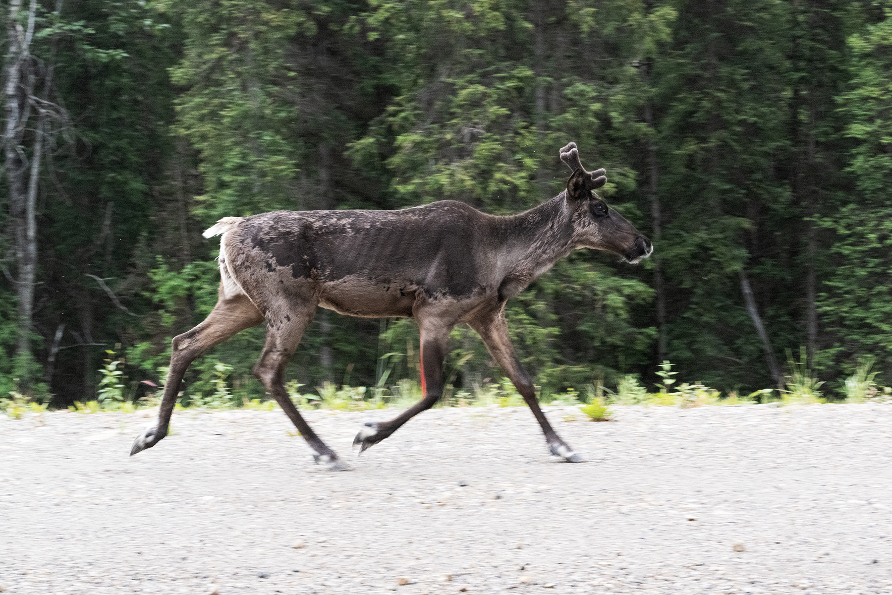
Now I am in British Columbia, near Stone Mountain Provincial Park. A dreary day, but I saw several caribou along the highway, taking the easy route. This one passed near my truck and I had my good camera handy.
Getting closer.
Nice photograph.
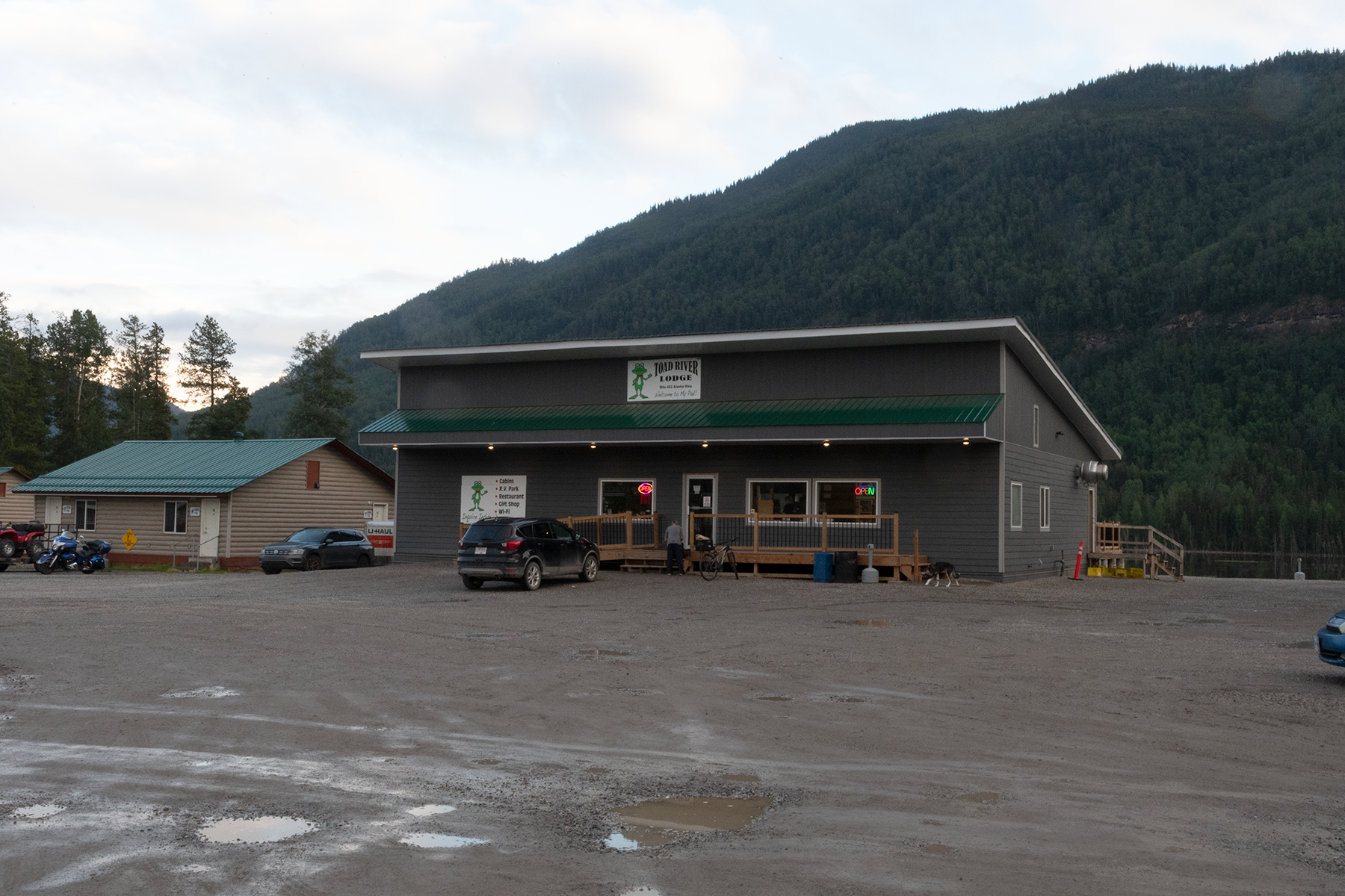
The town of Toad River. Not much here.
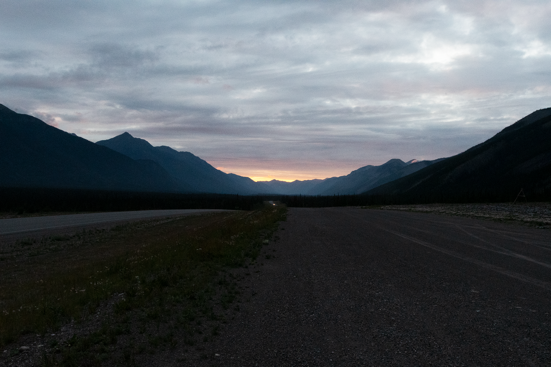
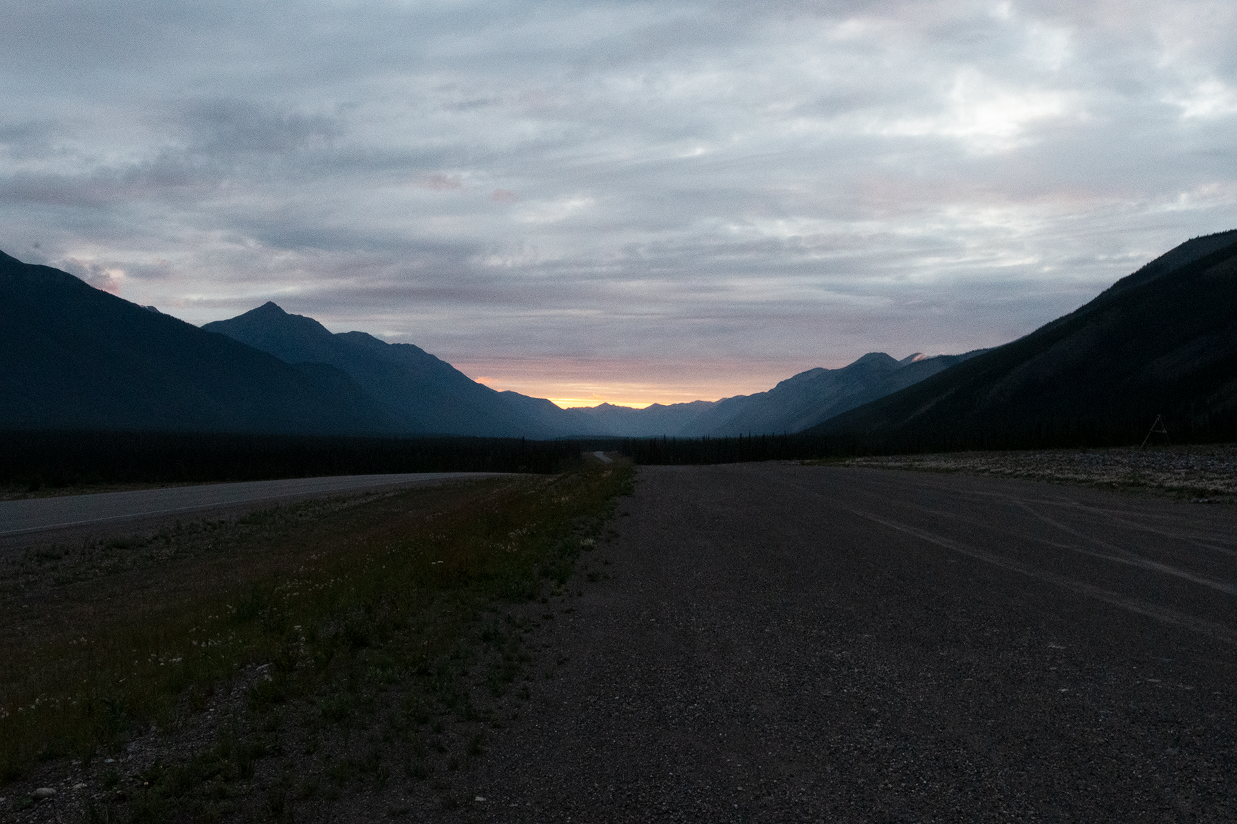
Camped roadside just north of Toad River.
Nice sunset after a rainy day.
First bison sighting. These were introduced, after they were extirpiated in the late 1800's.
Another group just down the road. These were common in Muncho Lake Provincial Park.
One of the many animal warning roadside signs.
Crossing the Liard River headed north.
Looking to the south.
Downstream.
Upstream.
Another upstream photo.
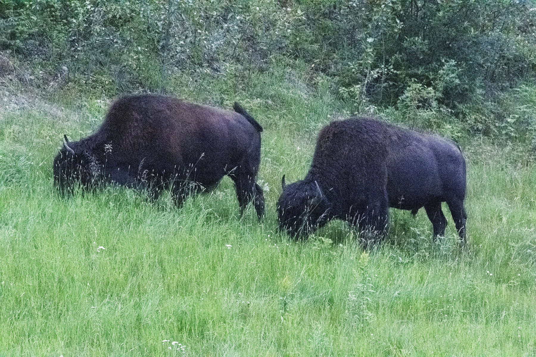
Another roadside herd.
The 800 km mark on highway 97, which runs from Dawson Creek, B.C. to Watson Lake, Yukon Territory.
The fellow in the jeep was also photographing the bison.
Two more.
These seemed used to people, but I stayed close to the truck when I took these photos.
These were part of the larger group.
Never gave me a glance.
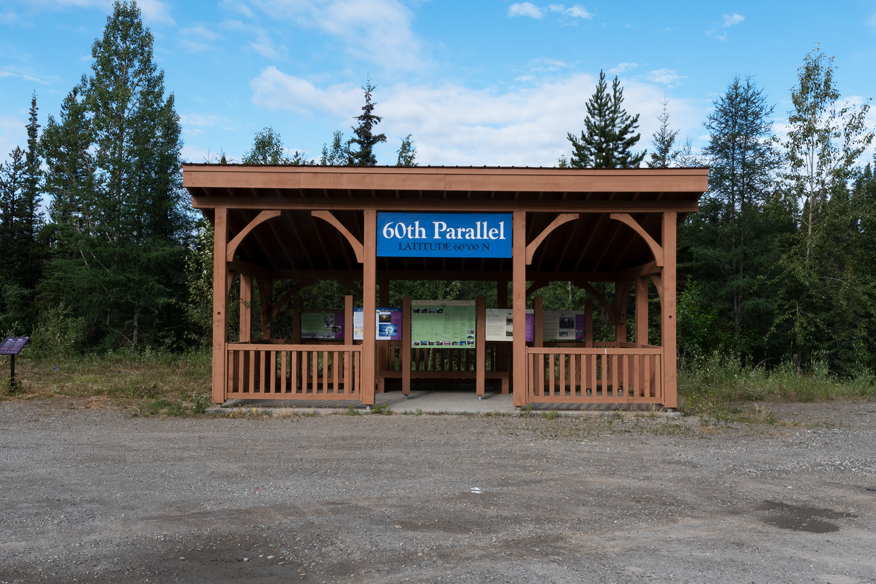
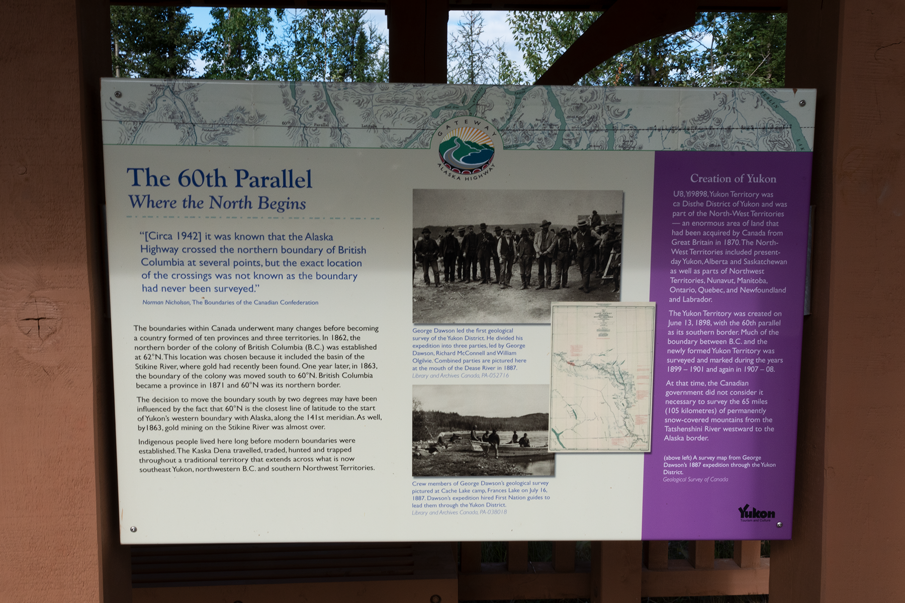
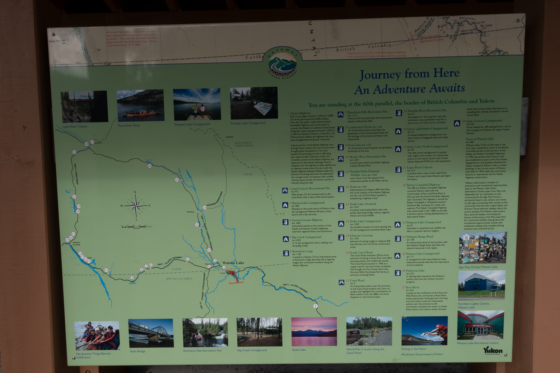
Now at the 60th parallel. These signs describe the border history.
First sign.
Second sign.
Third sign.
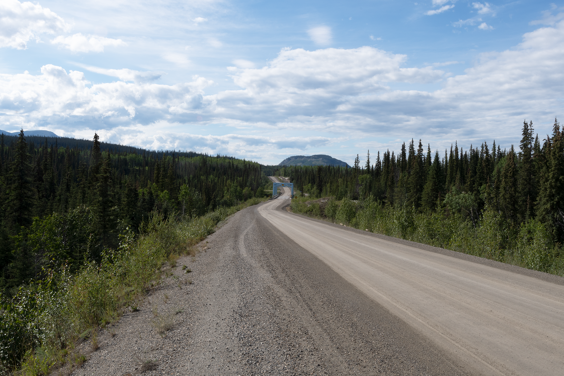
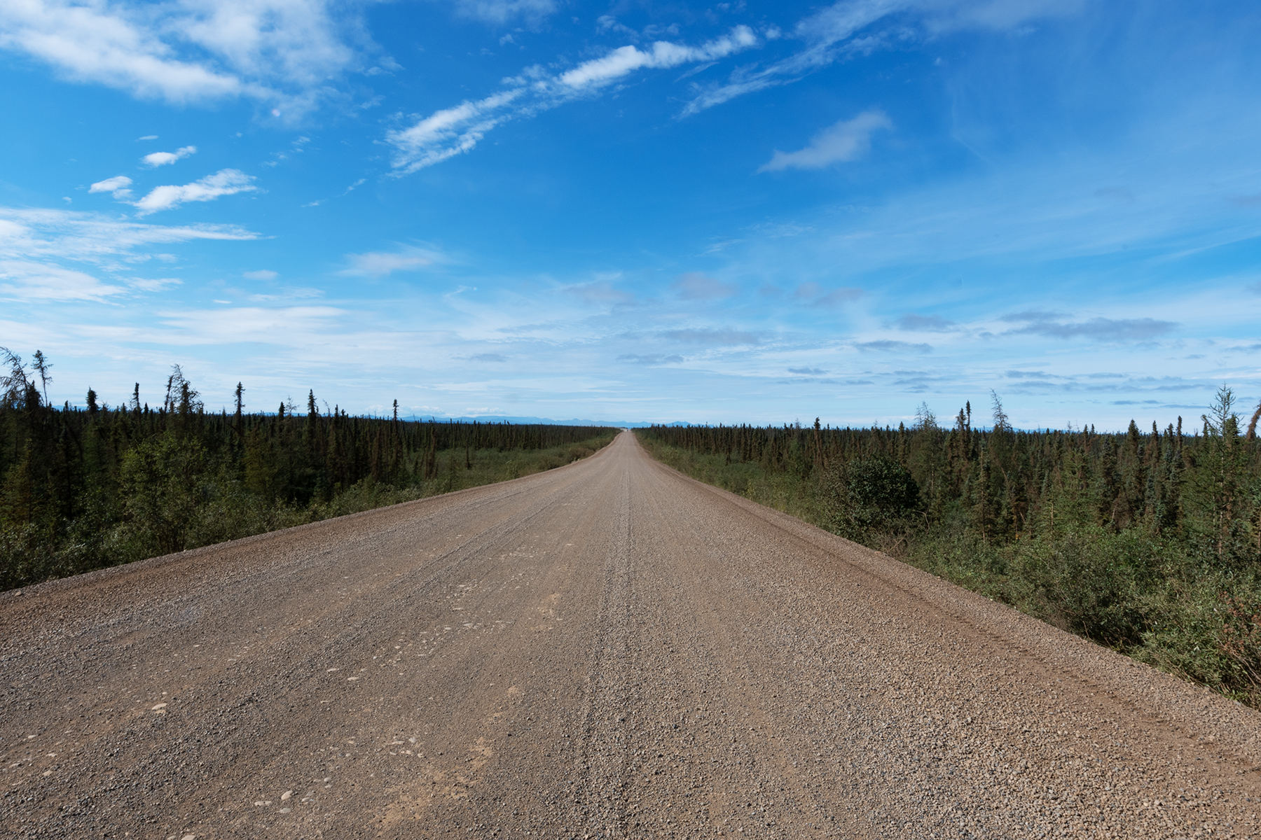
I am now in the Yukon. This is Highway 4, mostly an improved dirt road that runs from Watson Lake to Carmacks, about 500 km. Looking north. Pretty boring, for the most part.
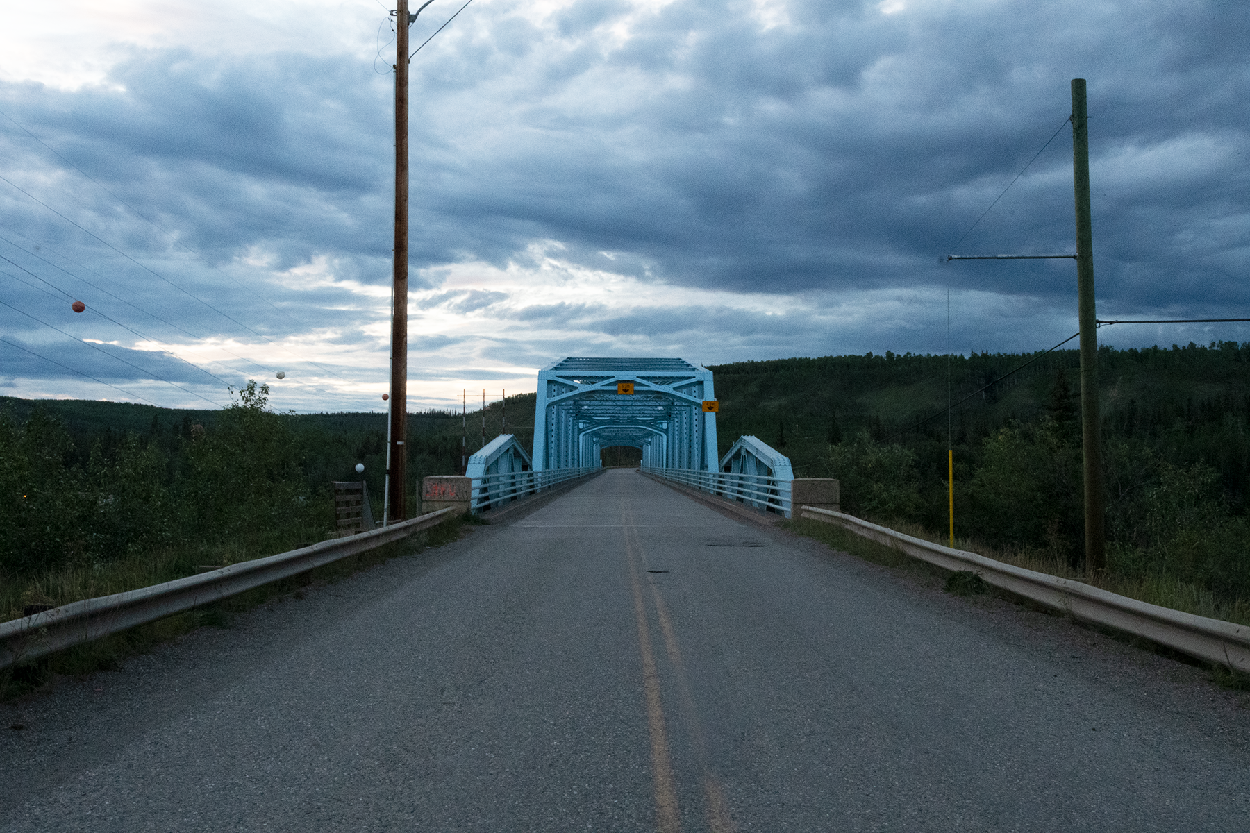
Looking south, the bridge over the Yukon River.
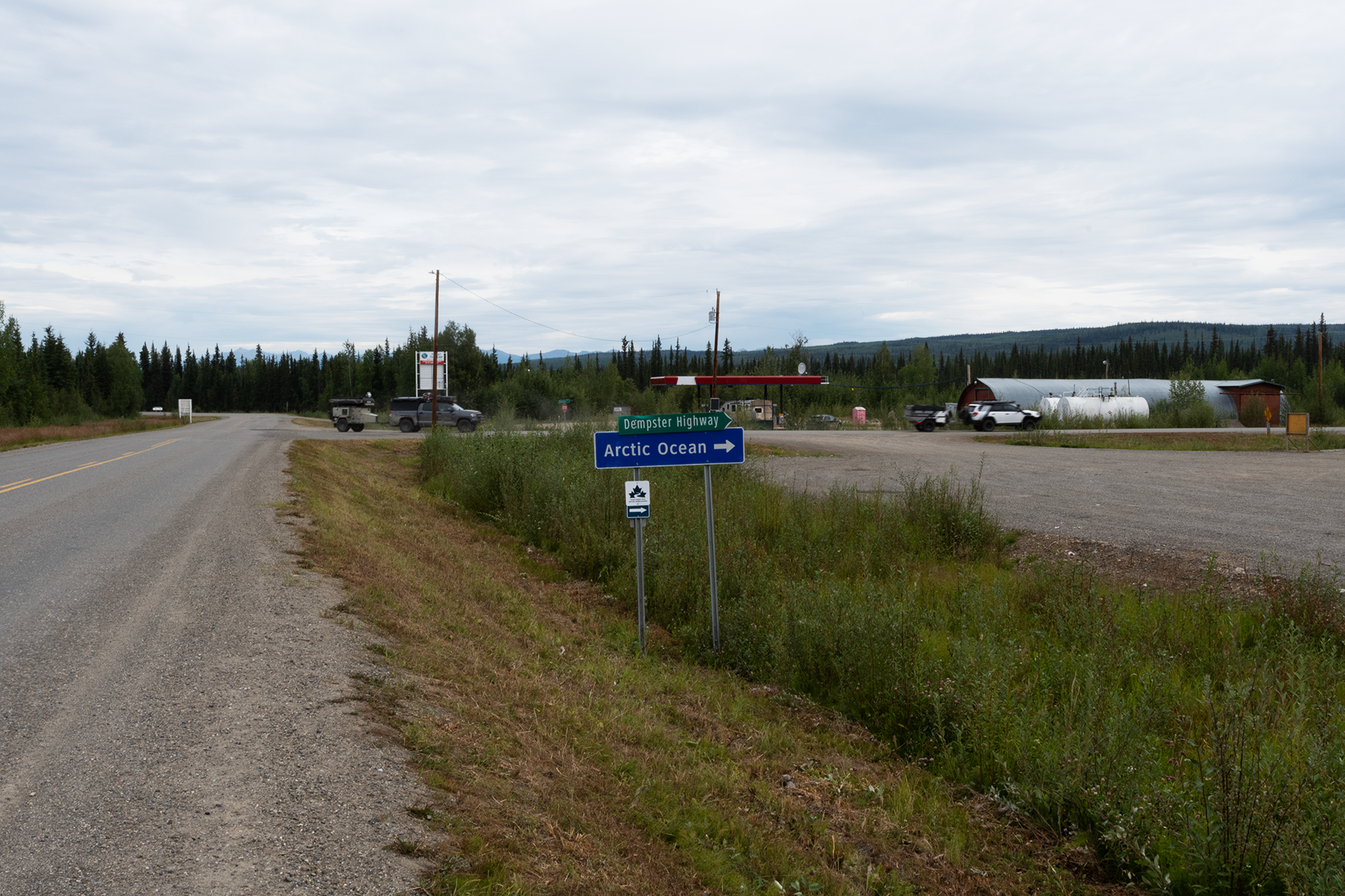
Now I am about 1000 km to the north in the Yukon, ready to cross the Klondike River and head up the Dempster Highway for the 5th time.
At the intersection of the Klondike Highway and the Dempster Highway, which now goes to Tuktoyatuk, a town on the Arctic Ocean. I have never been to Tuk, as the road was just extended in 2018, and I would not have enough time on this trip.
Those are unmanned gas stations in the background, which are much cheaper than the staffed gas stations in towns.
The start of the Dempster. See my 2011 trip for more photos.
The next gas station is about 350 km north. I got here Sunday night with a flat tire, and had it fixed first thing Monday morning. Four other folks had flats, and one guy had to buy new tires.
Now I am in Northwest Territory, at Midway Lake. They have a festival on August 1st, the Labor Day of the north. The large white building is the bandshell. See more photos in my 2011 trip.
Looking up the road from Midway Lake.
Headed to a ferry crossing, near the town of Tsligehtcic.
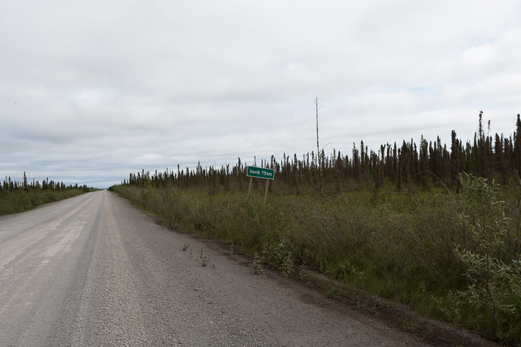
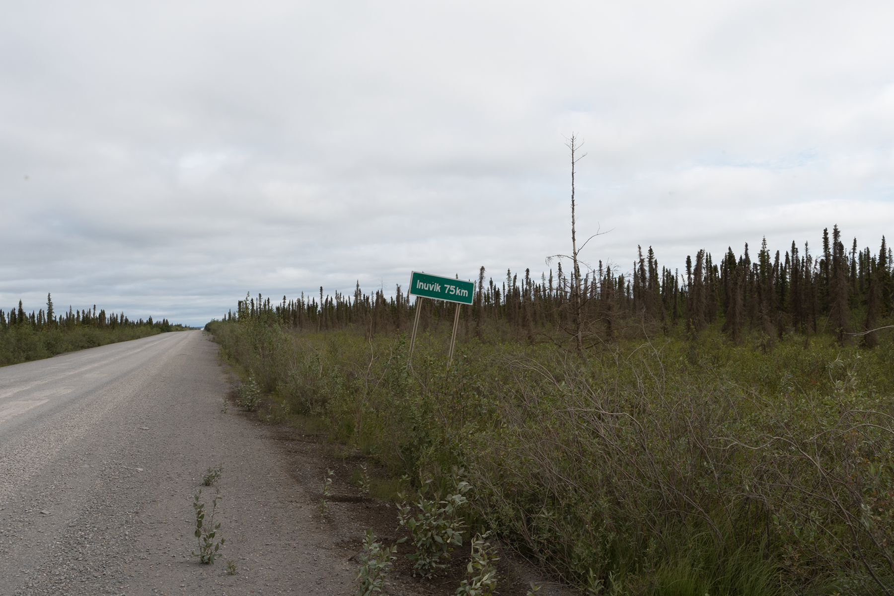
The next day I drove to Inuvik on a cold and rainy day. This is a good butterfly spot, as lots of fens cross the road at this stretch.
A close up.
Drove back to Midway Lake later that day. Had to take a ferry across the Mackenzie River.
Looking downstream.
Looking upstream.
Swallows nest in the ferry.
The town is Tsligehtcic.
A road shot.
The Richardson Mountains are in the background.
Another shot of the mountains.
More scenery, close to the mountains.
Mom and her crew in a roadside ditch.
Near Midway Lake, this duck put on a show.
A female mallard, I believe.
These next two shots detail the bad stretches of road. The shale pushes up through the road. These chunks are two to three inches high. Need to go about 20 miles an hour in these stretches, which is painfully slow.
This was shot parallel to the road to highlight the height of the chunks.
Heading back south, but took some nice scenery shots near Eagle Plains.
Another view.
Another view, slightly to the south.
Another view.
Another view.
Lots of construction along this part of the Dempster. Putting in fiber optic cables.
For the second part of the vacation photos, click here.