2011 Vacations photographs
Photographs and videos are shown in chronological order.
For google earth images of the trip destinations, click here.
For the second part of the vacation photos, click here.
For a copy of the article I wrote for the News of the Lepidopterists Society,
click here.
The photograph on the right shows a Plebejus idas photographed at
about km 40 of the Dempster Highway.
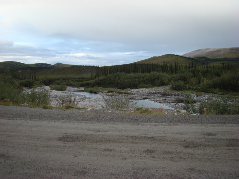
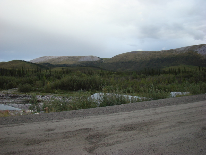
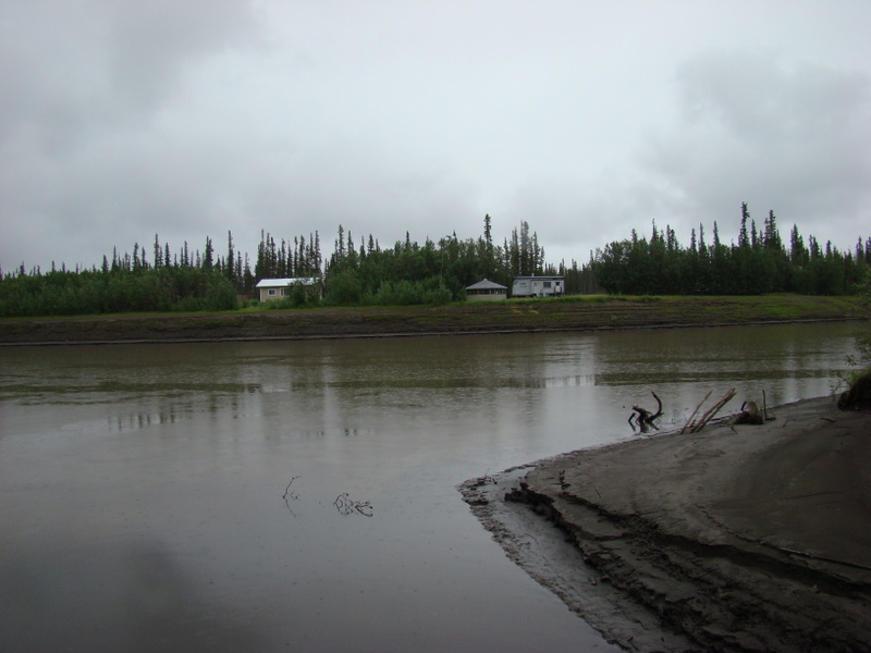
Downstream of Engineer Creek. I camped here my second night, just off
the road. No traffic, very scenic, and a stream full of grayling.
The view upstream.
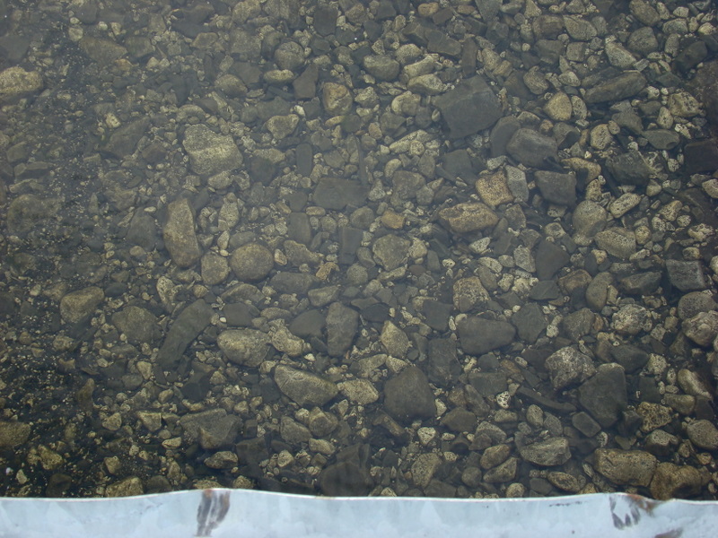
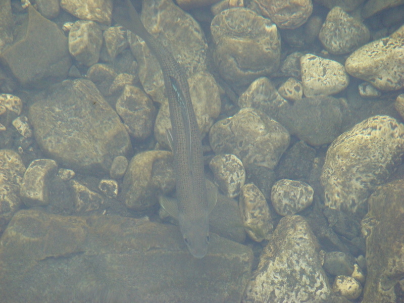
These were photographed in Engineer Creek. The upper photograph has
4-5 grayling.
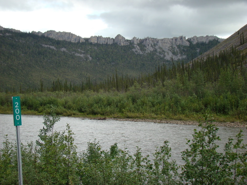
This photograph was taken along the Ogilvie River at km 200 of the
Dempster Highway.
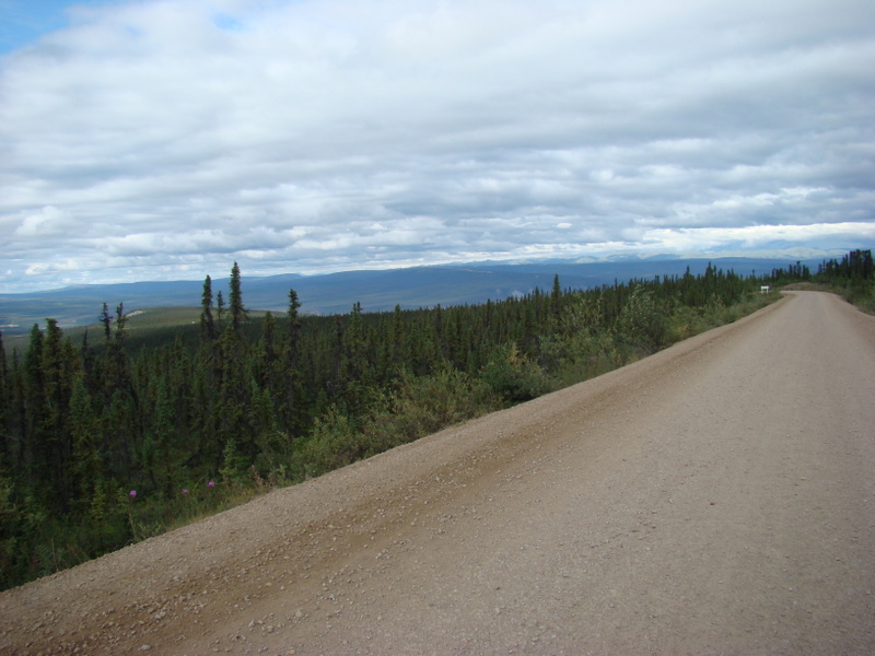
Above, looking north toward Eagle Plains, the only gas stop for about 500
km or so; bottom, looking off the side of the road, same spot.
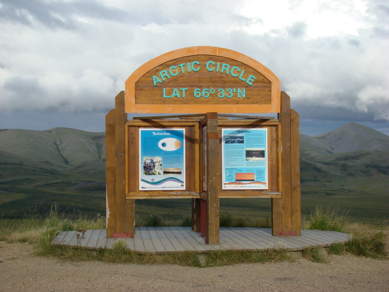
At the Arctic Circle, the sun does not set on the summer solstice, and the
further north one goes, the more days of 24 hour daylight you have. Of
course, the opposite applies for the winter!
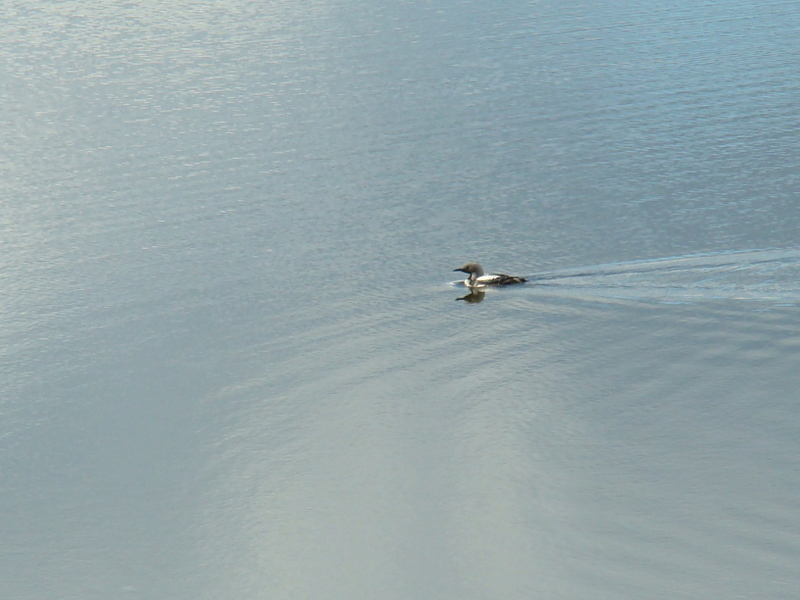
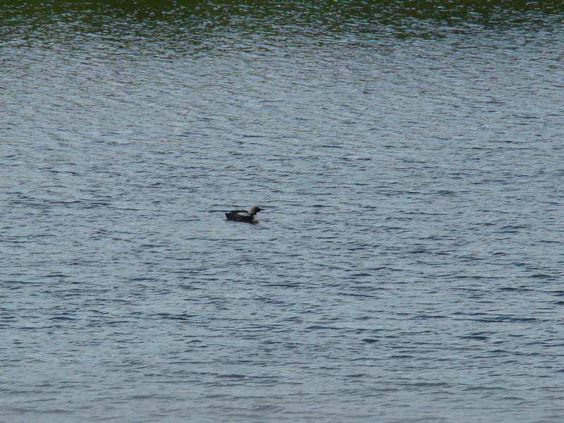
A Pacific Loon.
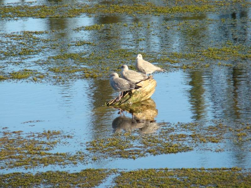
Three amigos. Thought these were pretty cool, until I realized they were Herring Gulls.
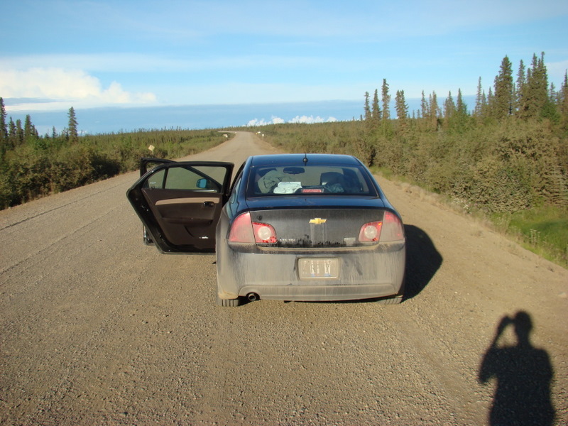
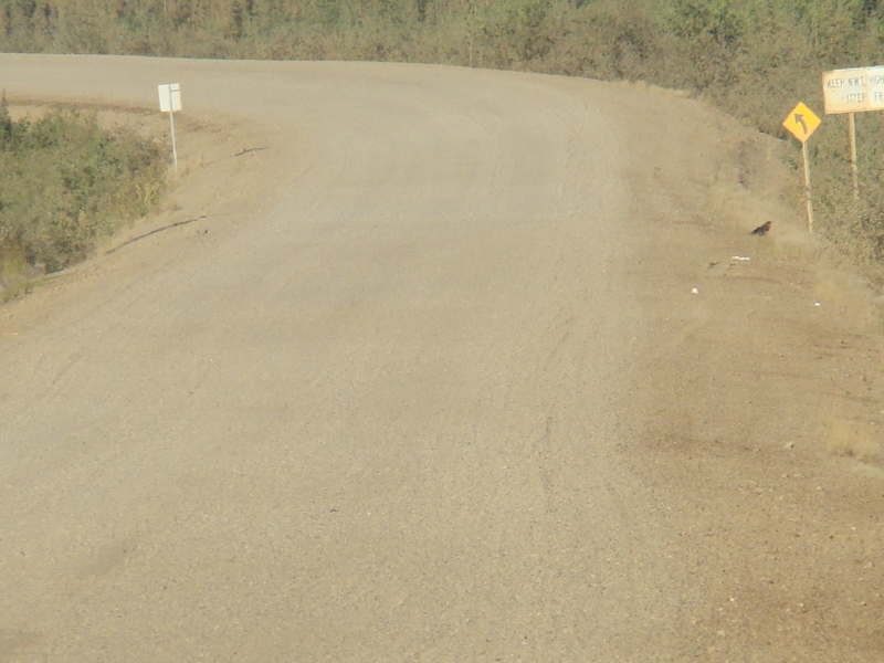
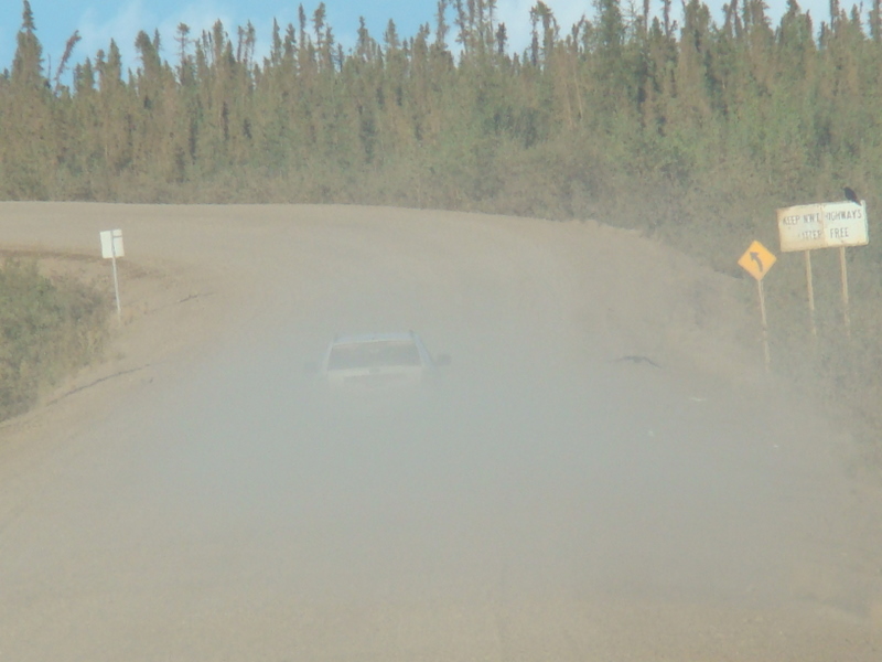
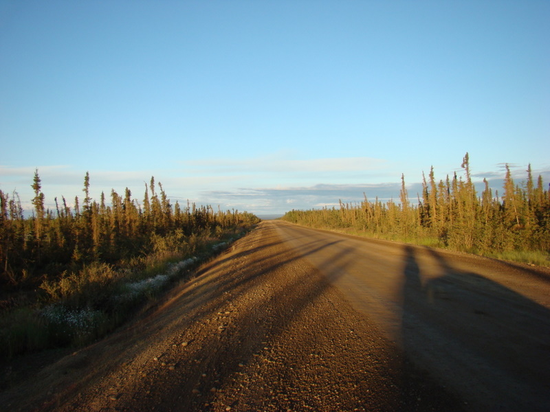
These illustrate the dust along the Dempster during the dry spells. In fact,
the Highway Department often waters the road.
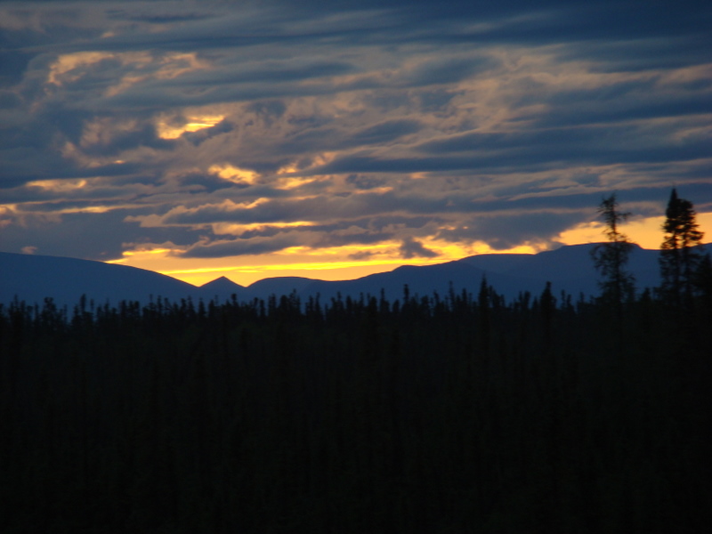
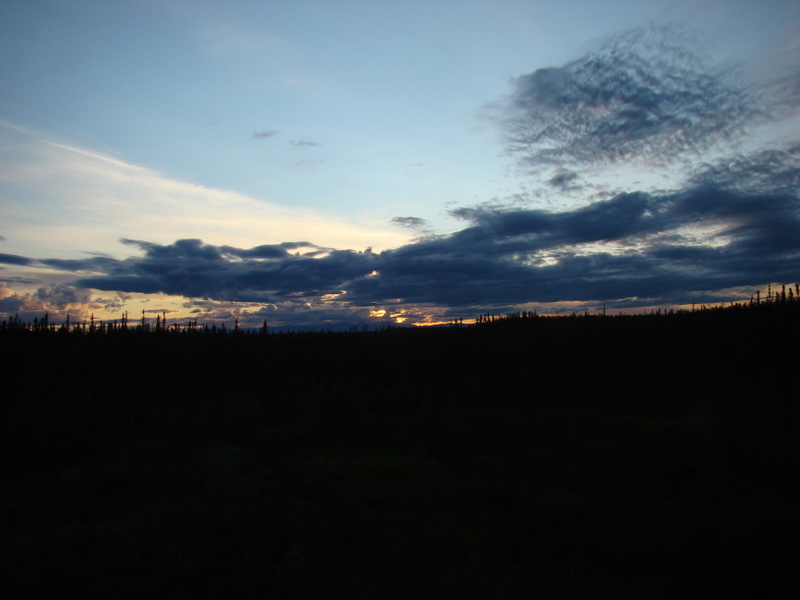
Midnight, August 1, 2011, about 20 km east of Fort McPherson.
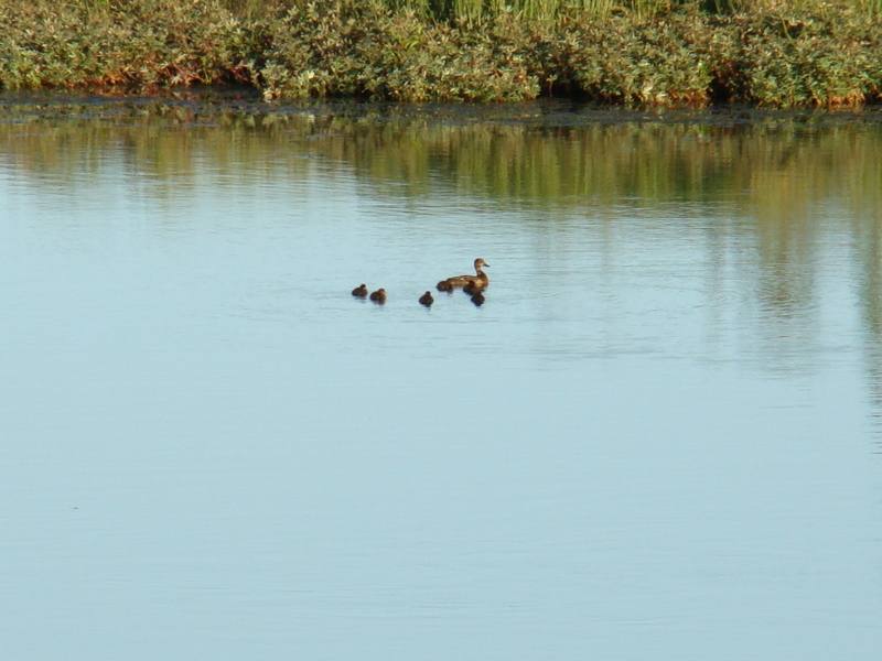
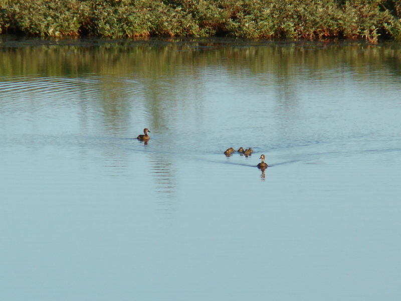
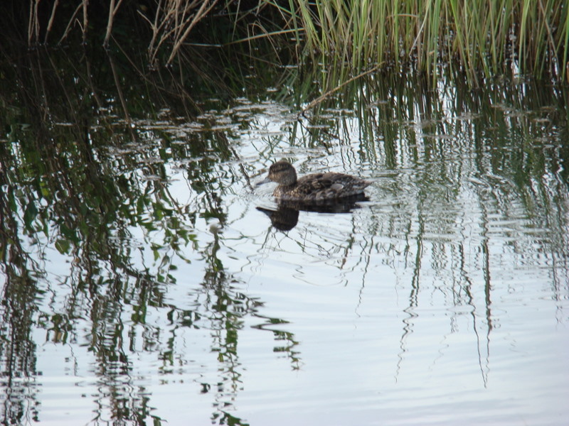
Green-winged Teal, near Fort MacPherson.
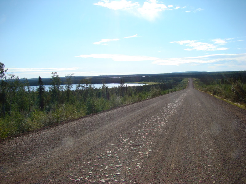
Some 30 odd km west of the Mackenzie River on the Dempster.
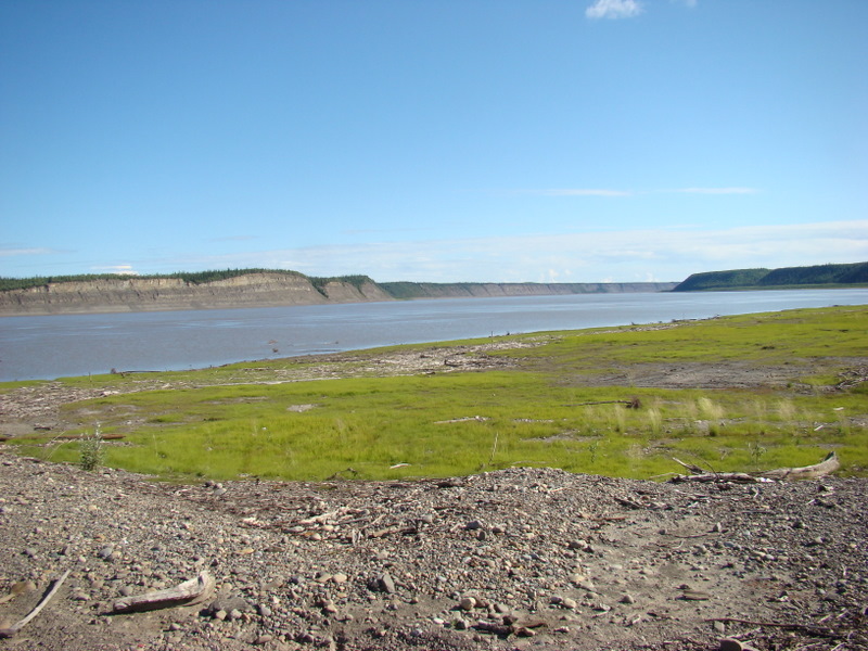
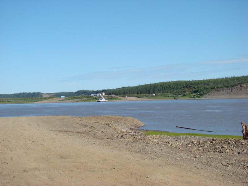
Crossing the MacKenzie River by ferry.
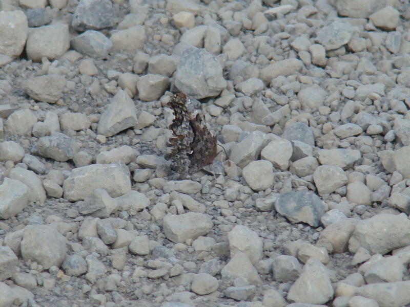
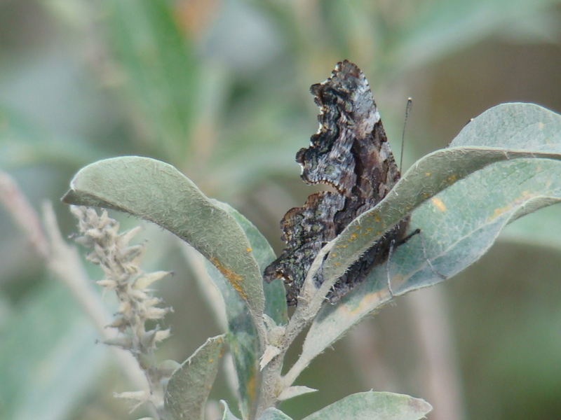
Polygonia faunus arcticus on the Dempster Highway. Notice how it
extrudes liquid to sample the minerals on the rocks. Same specimen in
the following photograph.
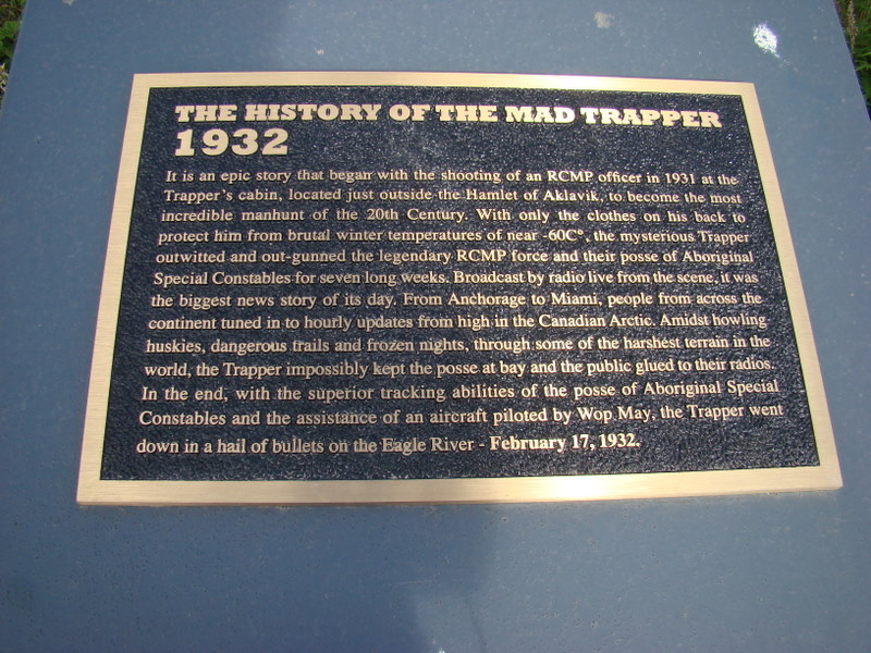
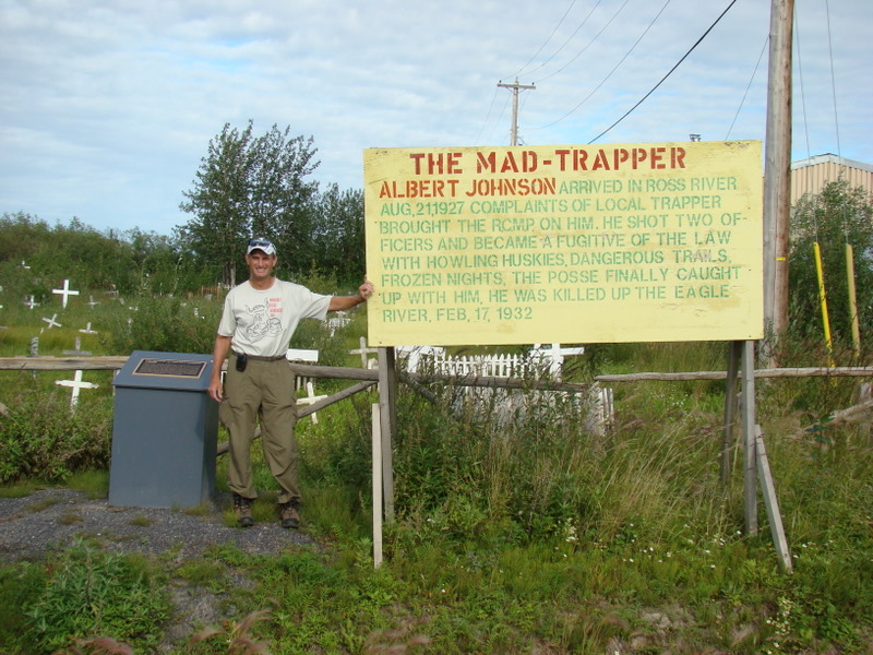
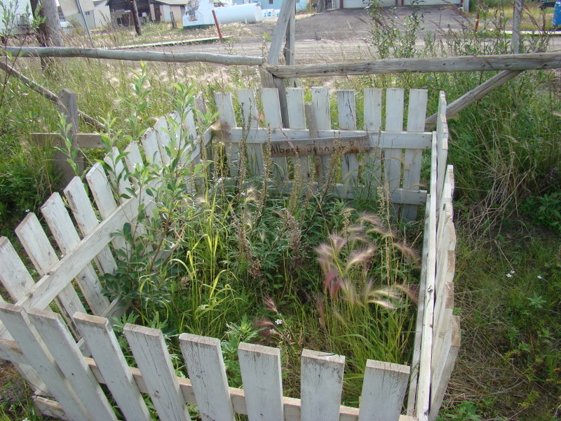
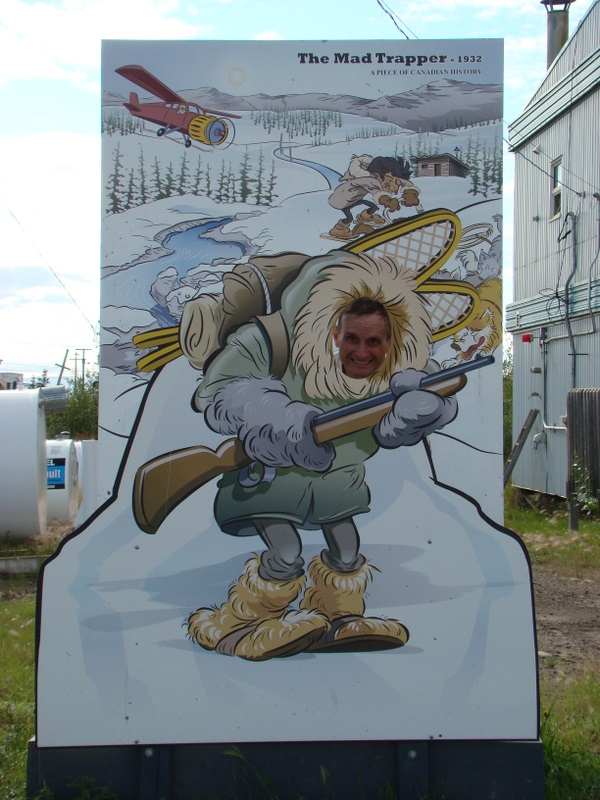
The mad trapper, aka Albert Johnson, is buried in Aklavik. This is only 100
yards away from the guides home.
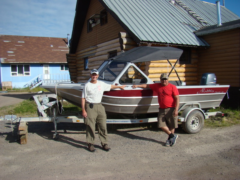
My guide and his boat.
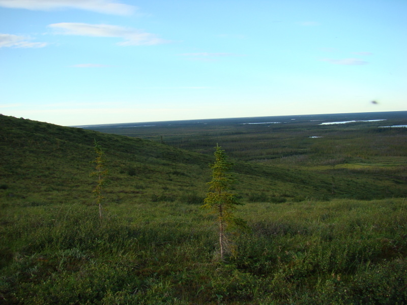
Looking down upon the Husky Channel on Thursday morning.
Same vantage point, more to the north.
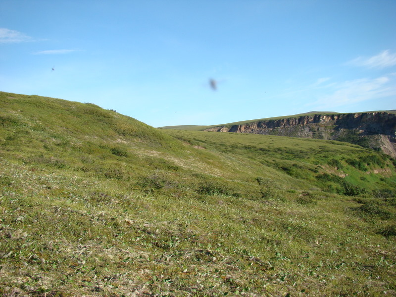
This canyon forms the upper stretch of Bug Creek. I camped just below.
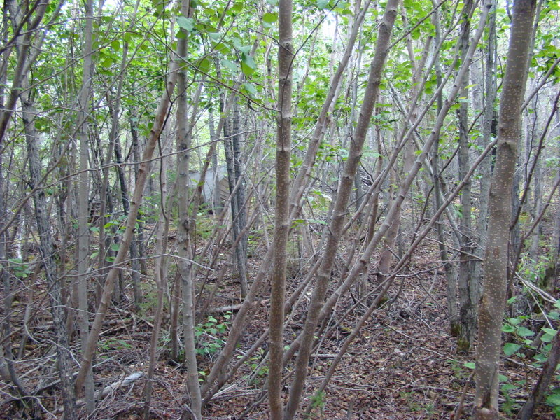
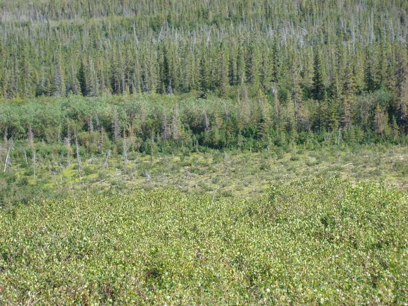
The patch of brush to the right is a willow thicket and is very difficult to
pass, as these are often 10 feet deep and very dense with plants.
In the upper right is the old seismic trail that I traveled from the channel to
reach the hills.
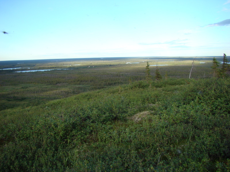
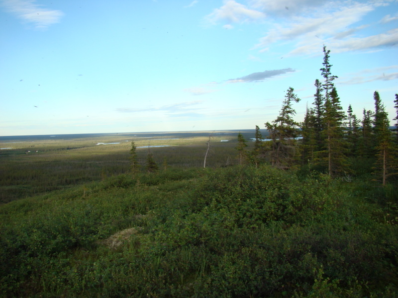
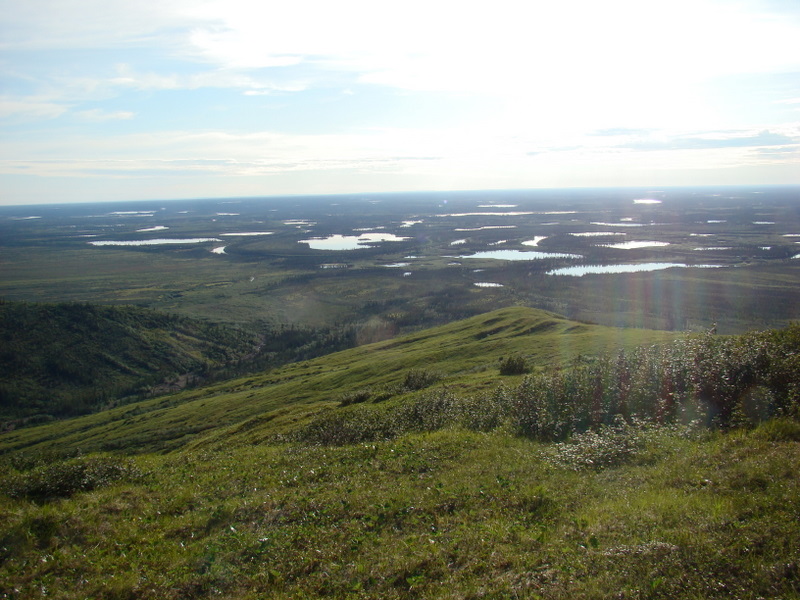
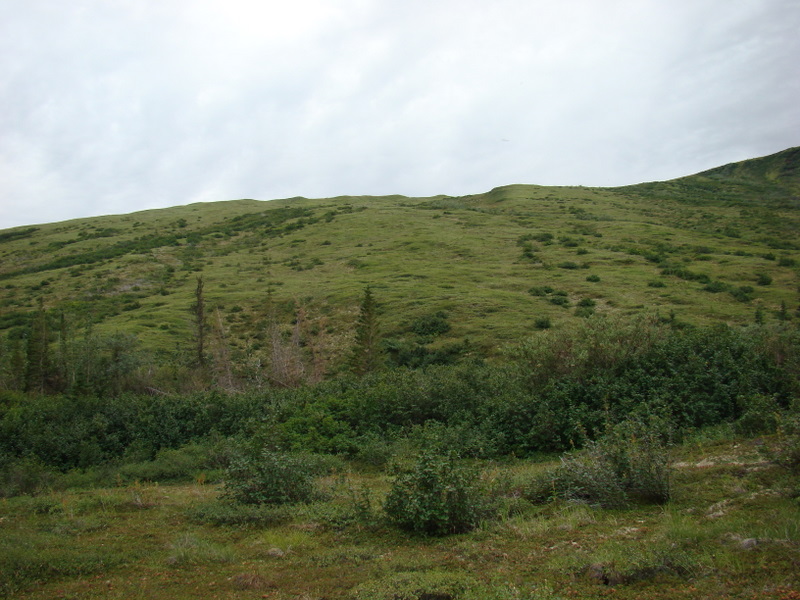
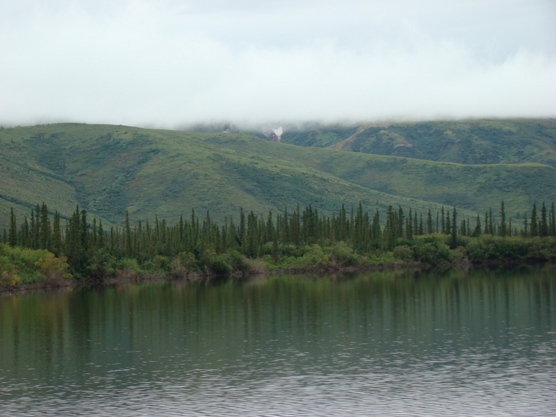
To the south, above my campsite in the Richardson Mountains. On
Saturday, a grizzly bear was feeding on blueberries on this hill, but my
camera was MIA.
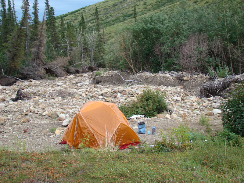
My campsite in the Richardson Mountains, along a sandbar in Bug Creek. Click here to watch a video description of the site. Coordinates are: N68.
06744 W135.45380.
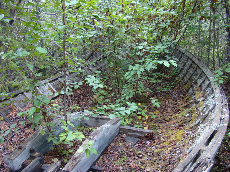
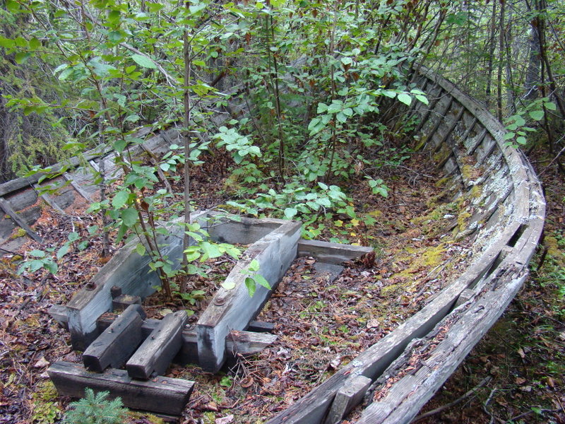
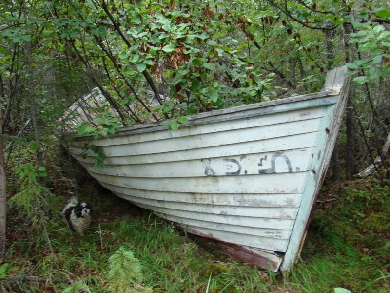
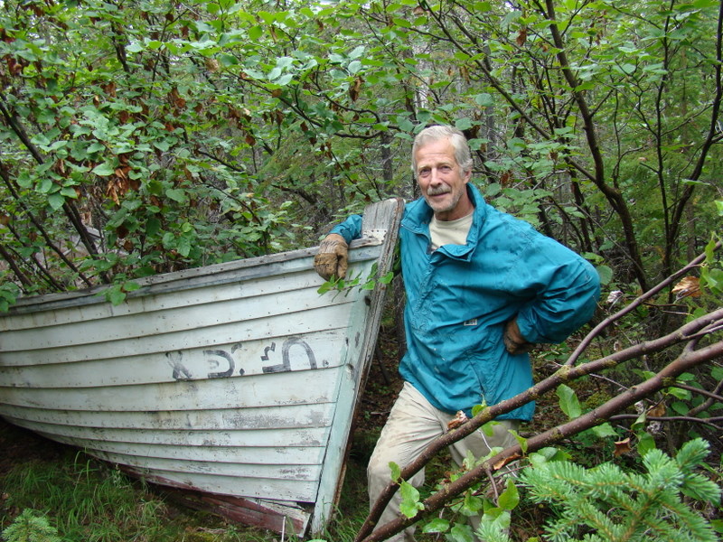
The remains of a bug hunter's boat. Read an original story about another
bug hunter, Colin Wyatt, in this file.
Note that the symbols are in the native Gwich'in language, but in this case
have no meaning.
Roger Connelly, who graciously fed me breakfast and lunch on a dreary
Sunday, and showed me the artifacts, which are located on Helen
Sullivan's property, Roger's wife.
The boat from the trail.
Next, we ventured across the channel to the remnants of a cabin on Bug
Lake, which along with the creek had been named in recognition of the
Bug collector's activities. Most facts have been lost with time, but the cabin
was built in the 1920's and originally occupied by Frank Carmichael and
trapping friend Karl Gardlund. They used the cabin as a trapping support
base when trapping in the area. The name of the bug hunter and the dates
that he visited are unknown, but preceded Colin Wyatt’s visit in 1955. John
Carmichael, Frank’s son, currently monitors char for the territory, and lives
part time in a camp about 10 miles up-river, and by coincidence that day
had sent one to the Connelly’s for dinner. Unfortunately for me, I could not
stay, as the guide would return at 7 pm to take me to Aklavik.
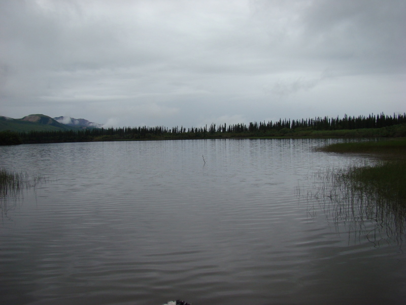
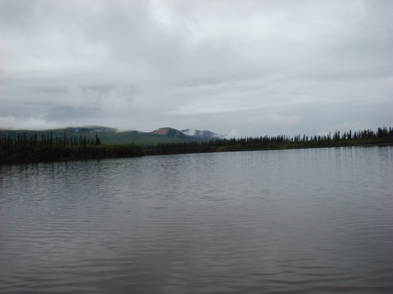
Bug Lake. Note that Bug Creek does not flow into Bug Lake, but rather into
a pond just north. The cabin is on the eastern shore, to the right (not
visible).
Bit of snow remaining in the hills.
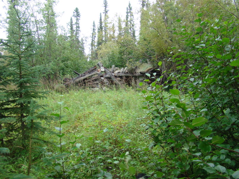
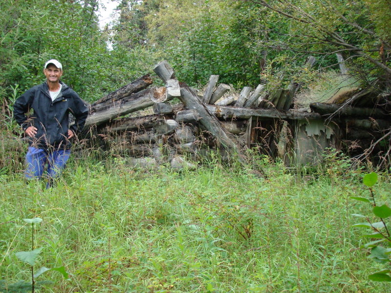
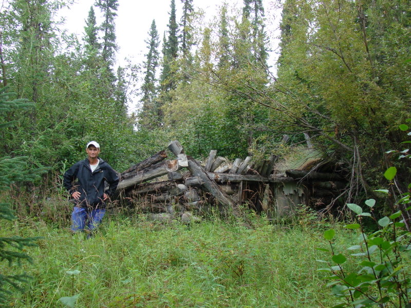
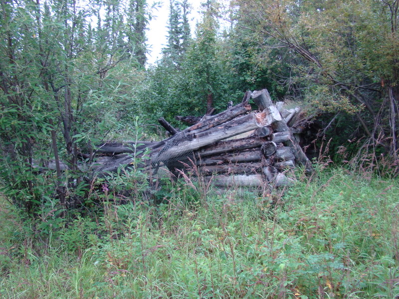
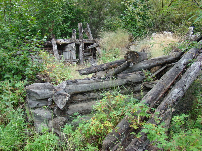
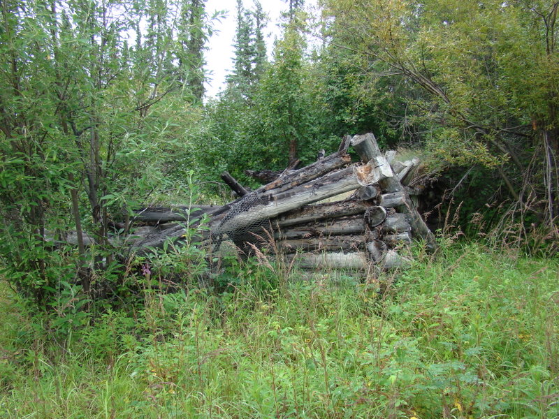
The old cabin, built by Frank Carmichael and once occupied by a bug
hunter, located at N68.061 W135.395.
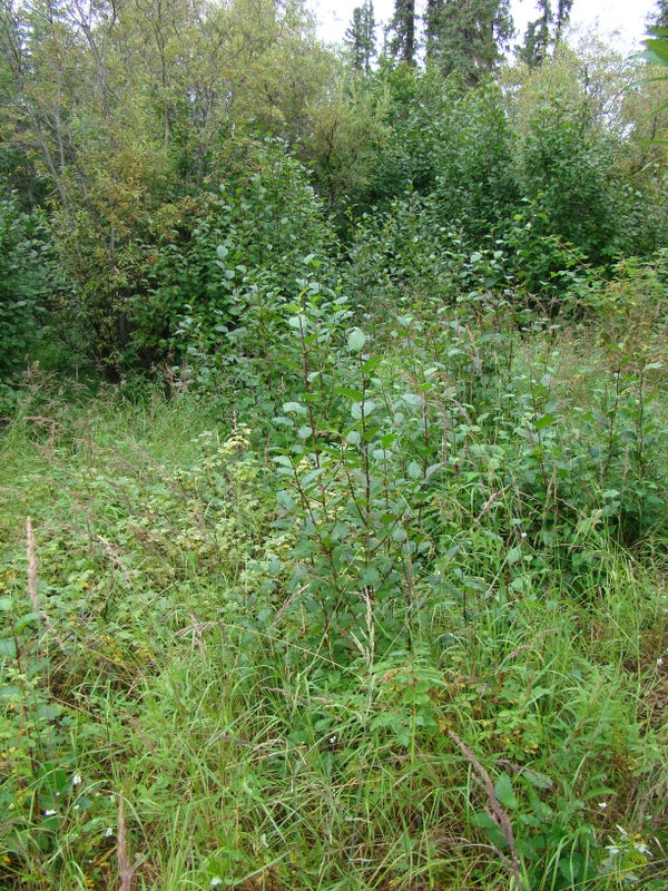
A willow. I shot this for reference, as the Polygonia gracilis along the
seismic trail were fond of this plant.
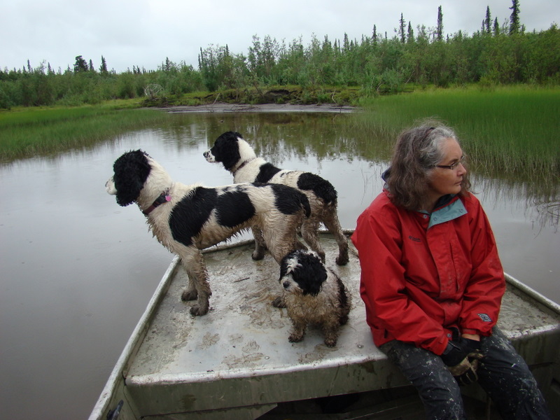
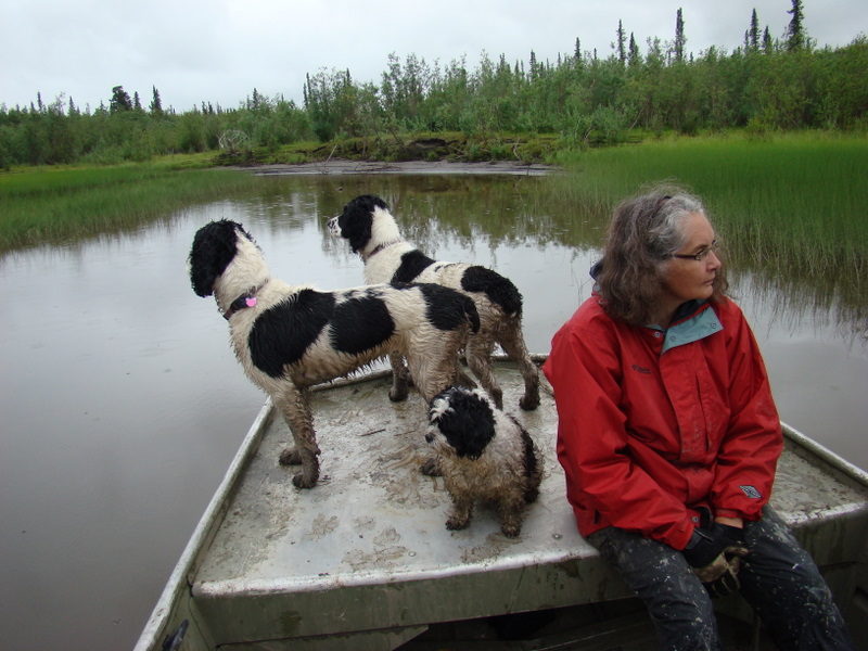
Roger and Helen have three hyperactive dogs!
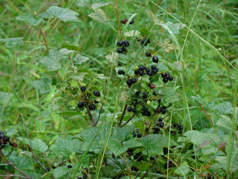
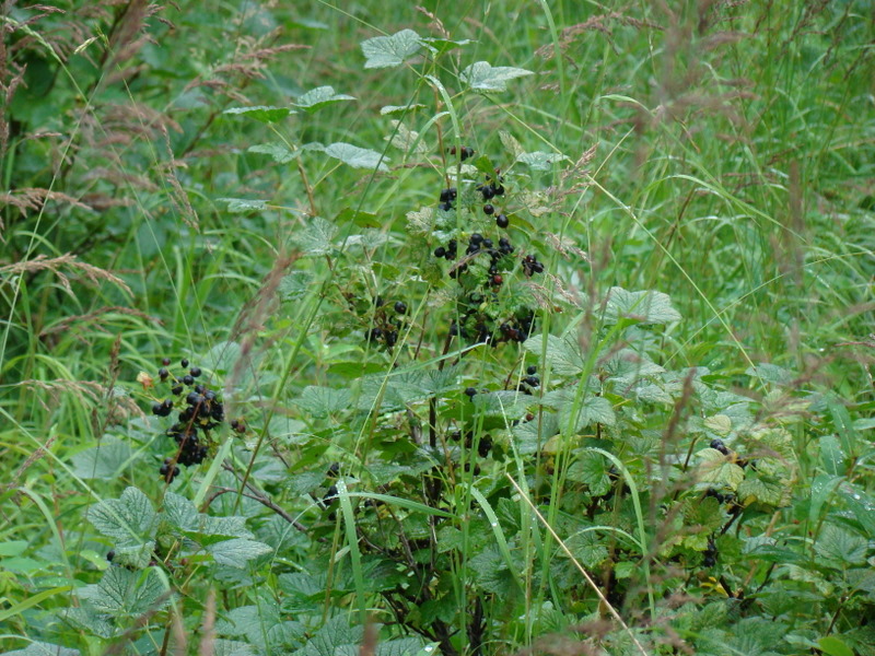
Currants. The Gwitch'in people are gatherers and pick berries this time of
year.
Looking into the cabin.
Helen Sullivan, a native whose father owned and developed the property
on which she and Roger now live.
Leaving Bug Lake, looking at Roger and Helen's homestead. They have a
fabulous view of the eastern slope of the Richardson Mountains from their
gazebo.
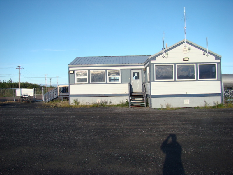
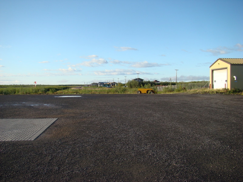
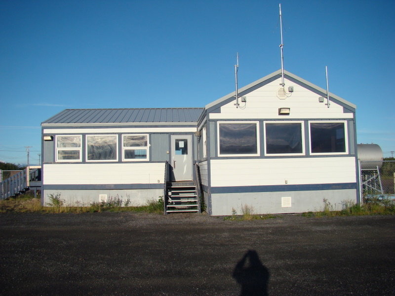
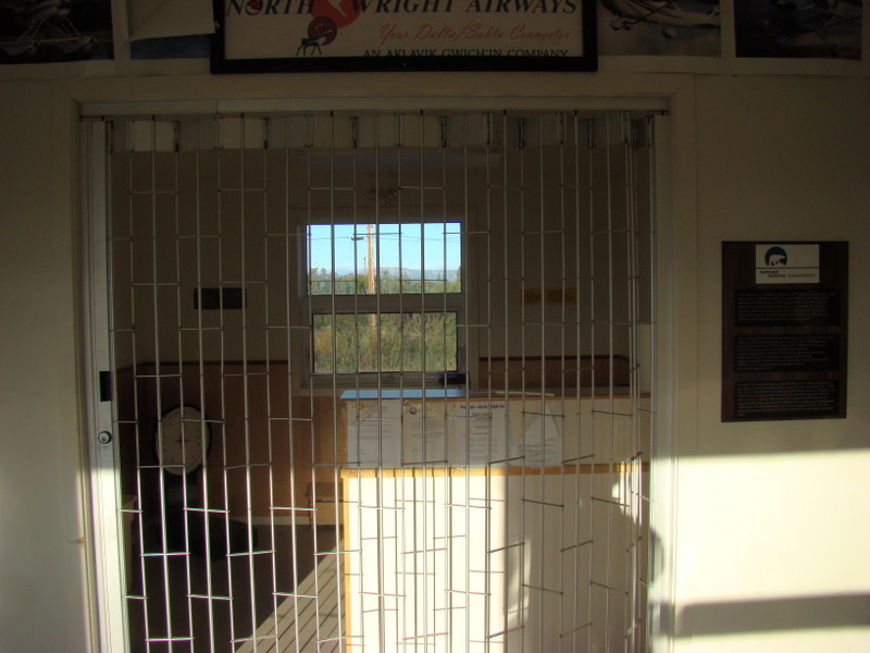
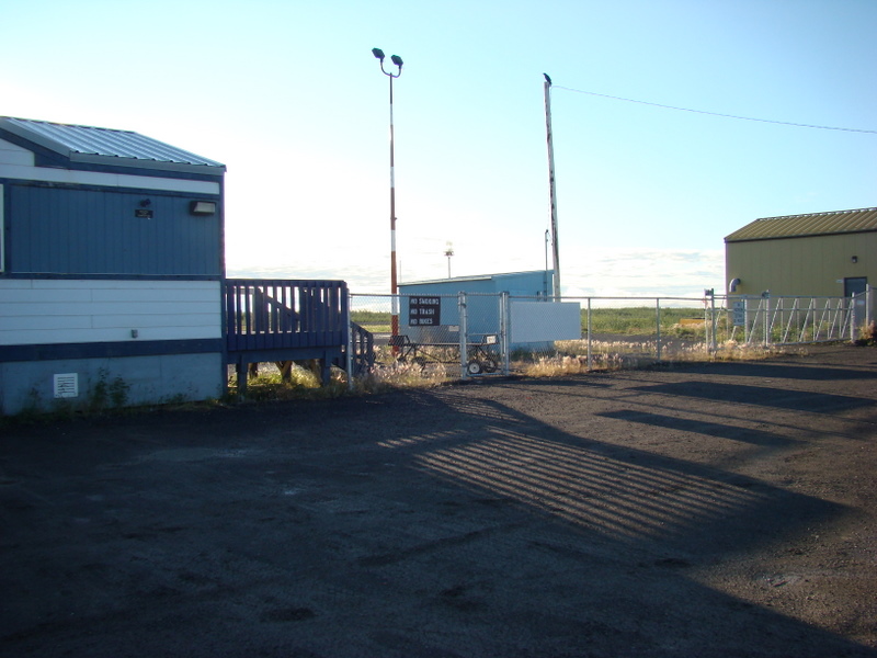
The Aklavik airport. I slept inside Sunday night.
Inside the airport 'terminal'.
From the terminal, the road to town.
Early morning, outside of Fort McPherson.
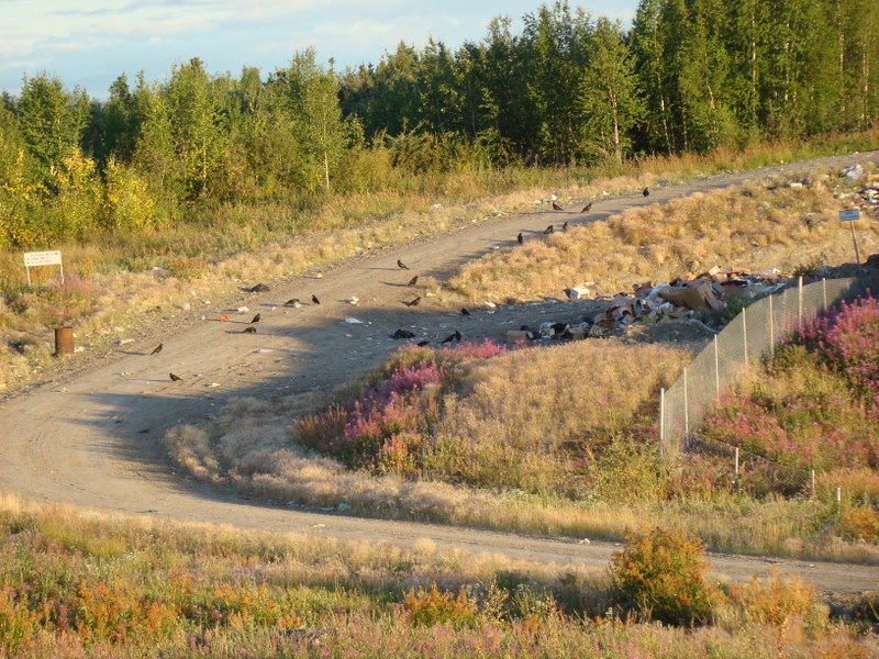
The town dump. No bears seen, just birds.
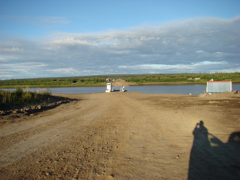
The Peel River ferry, the first one from the south and just outside of Fort
McPherson.
Looking north toward the Midway Lake holiday camp.
This is the end of Part I. Click here to go to Part II.
