


2012 Vacations photographs
Photographs are shown in chronological order.
For the second part of the vacation photos, click here.
For the third part of the vacation photos, click here.
For the fourth part of the vacation photos, click here.
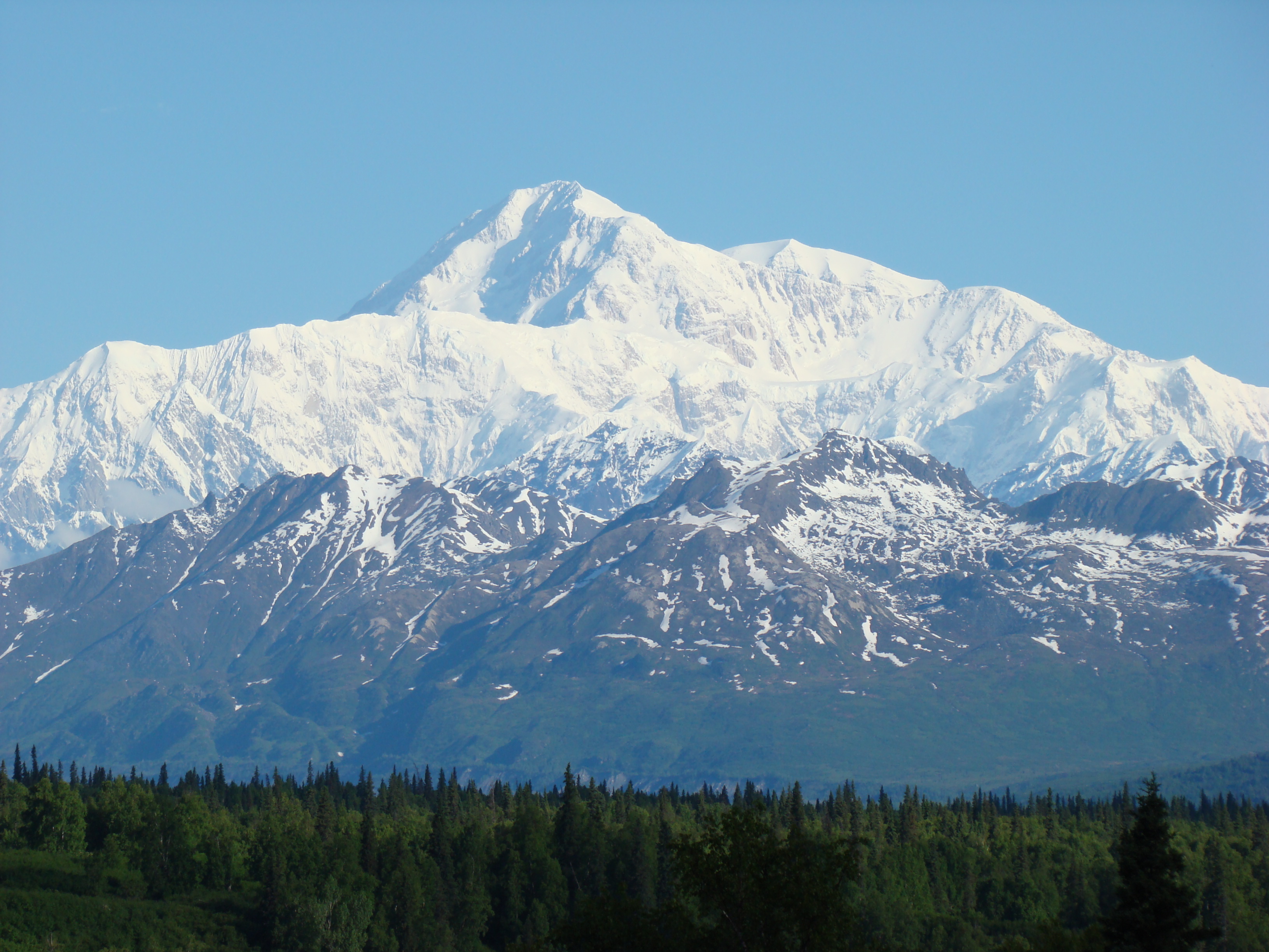
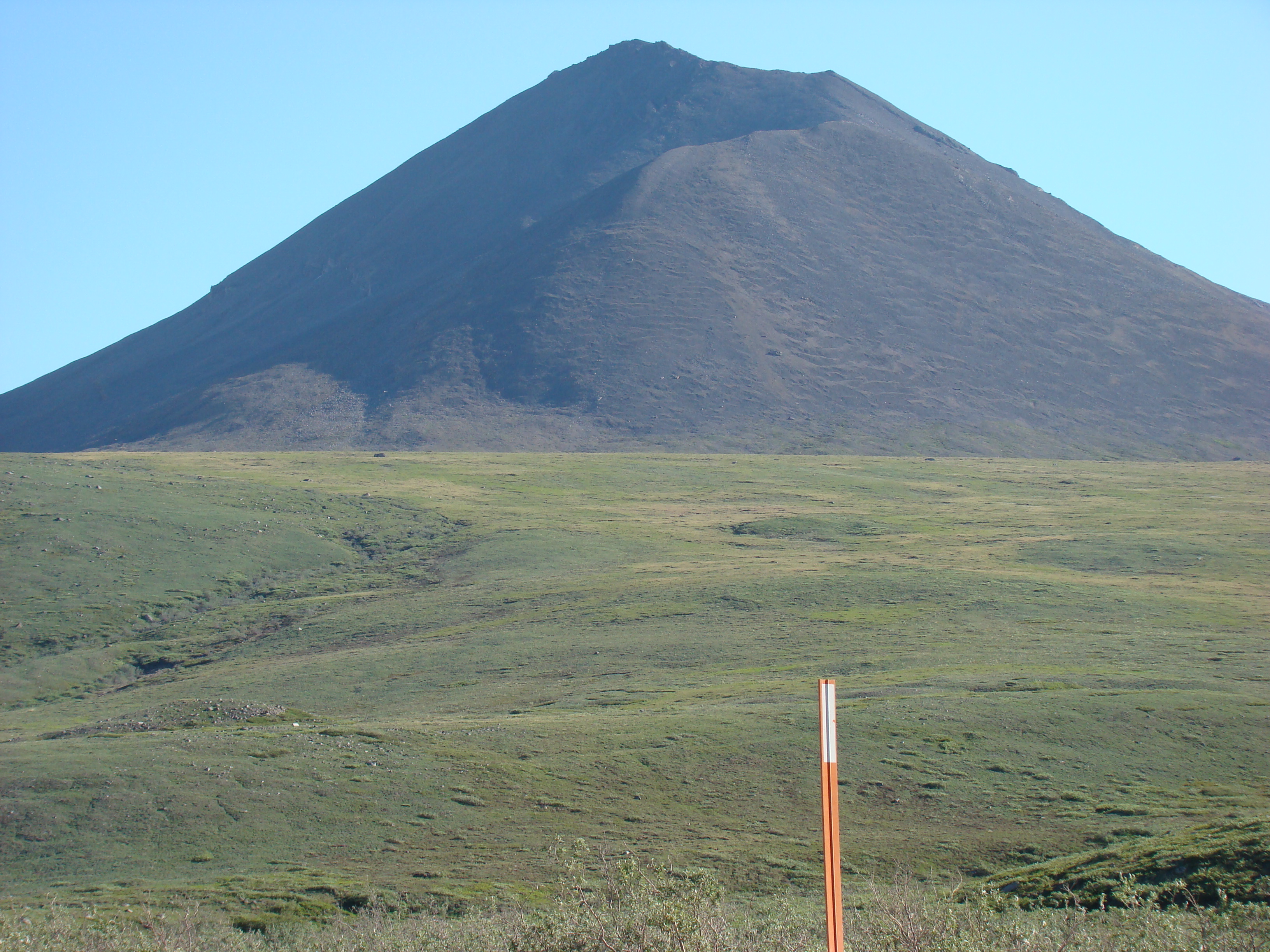
The photograph on the right shows a view of Mt. Denali from
the Parks Highway.
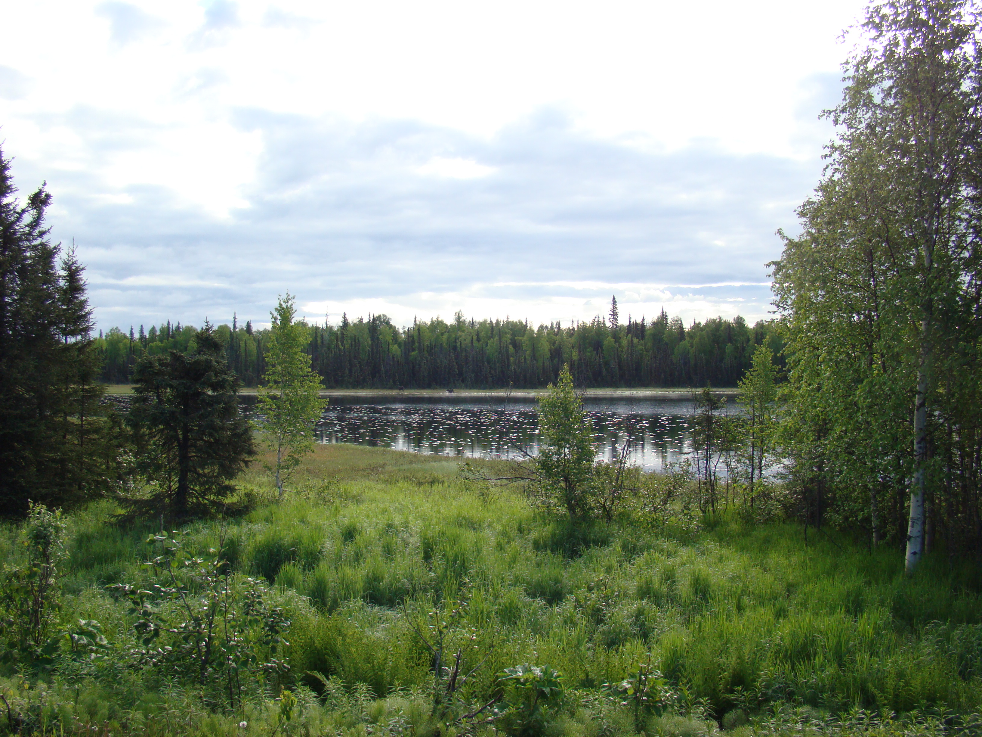
Early on my second day (first driving day) I encountered these
moose off the Parks Highway.
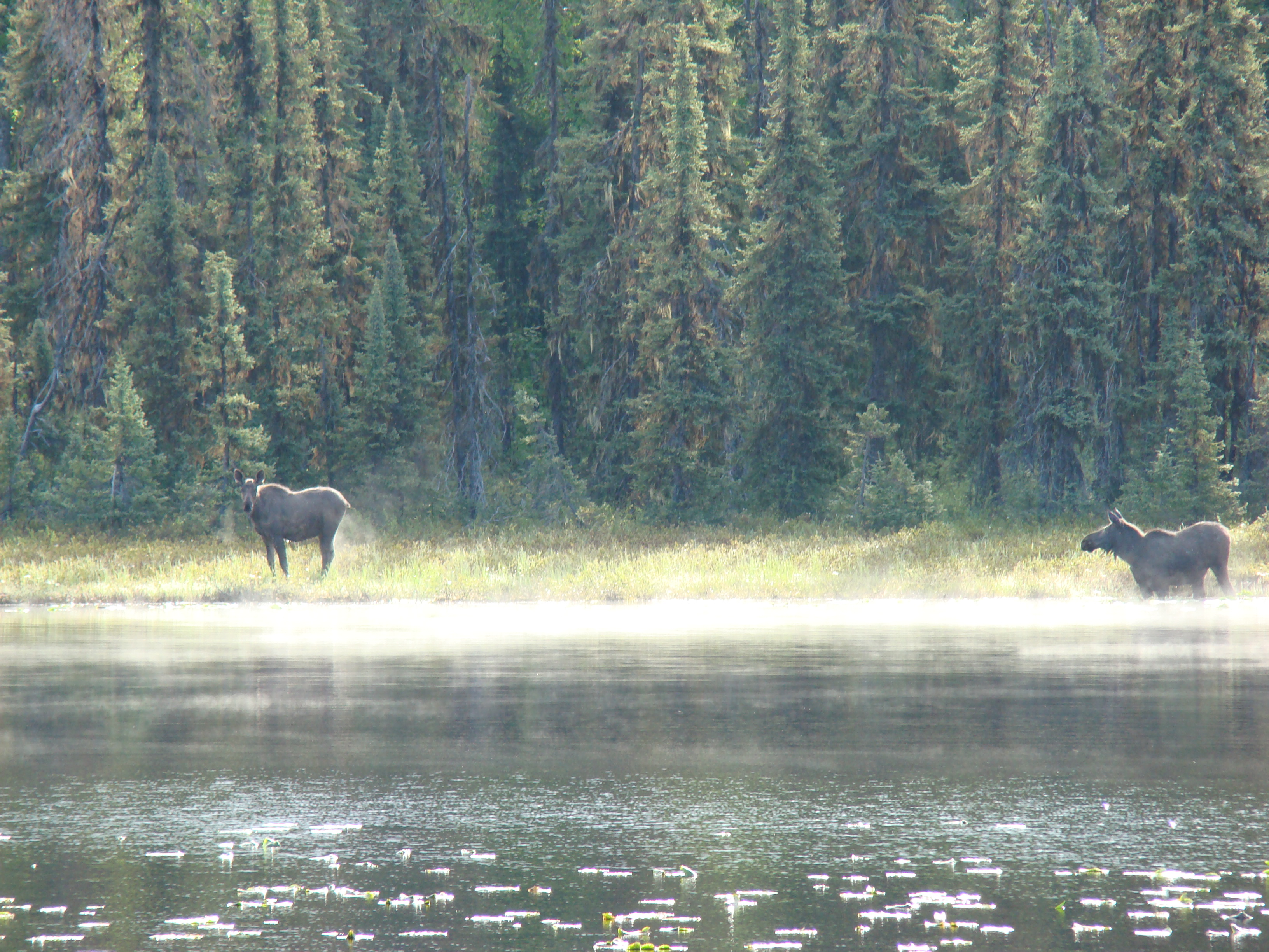
Closer view of the moose.
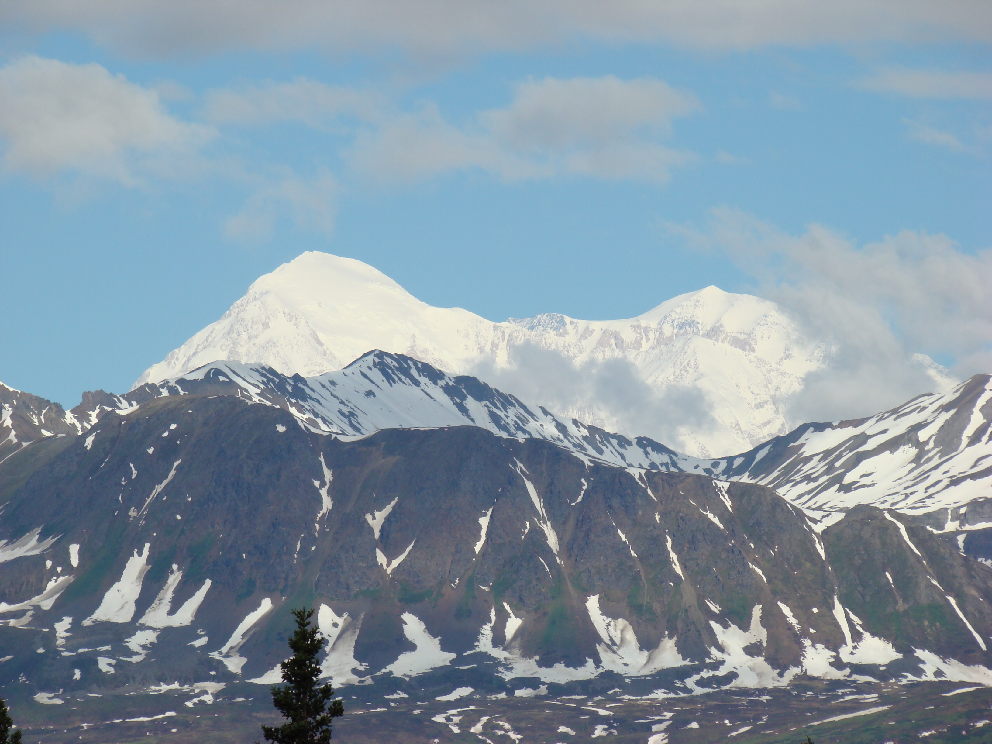
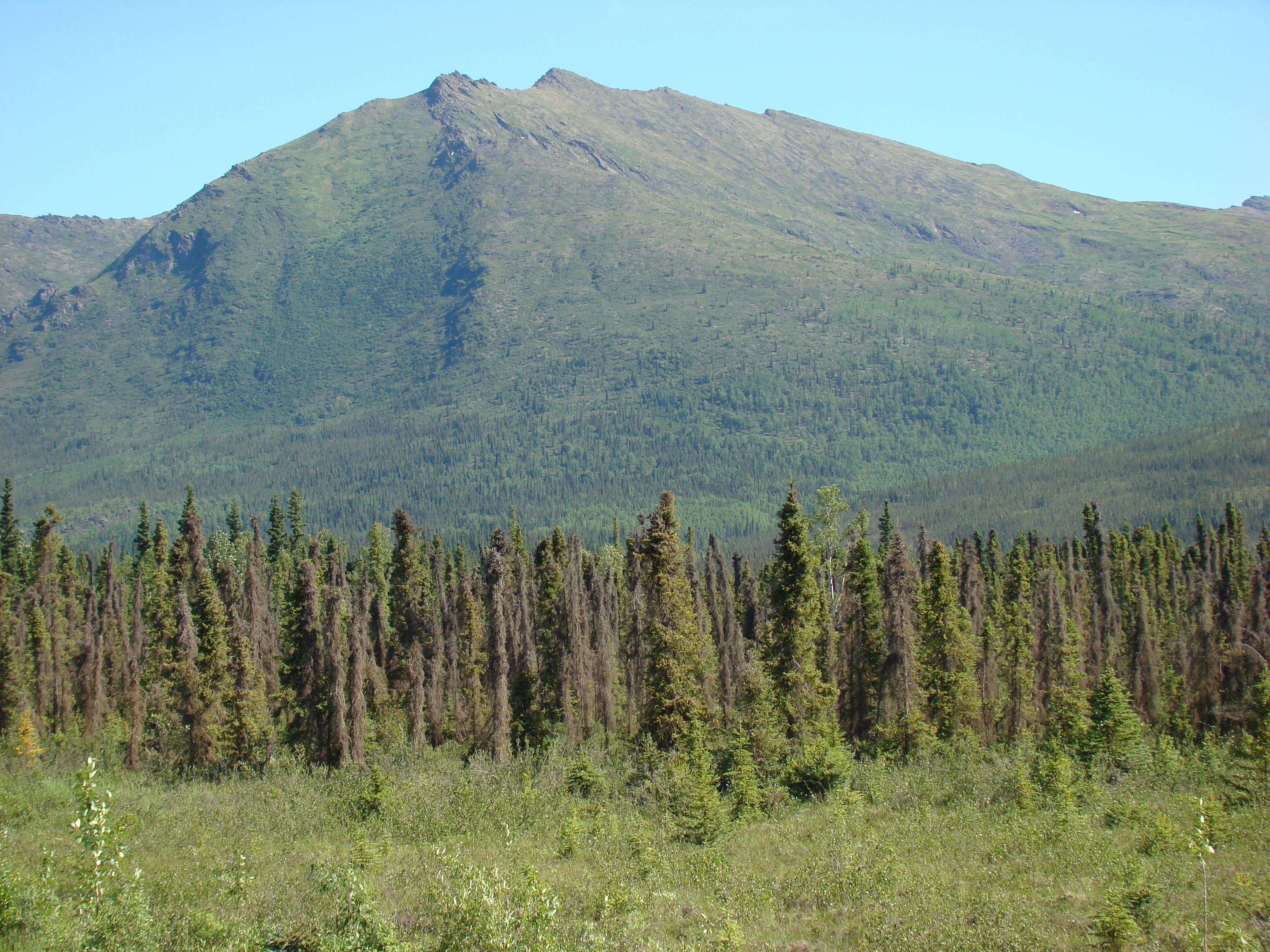
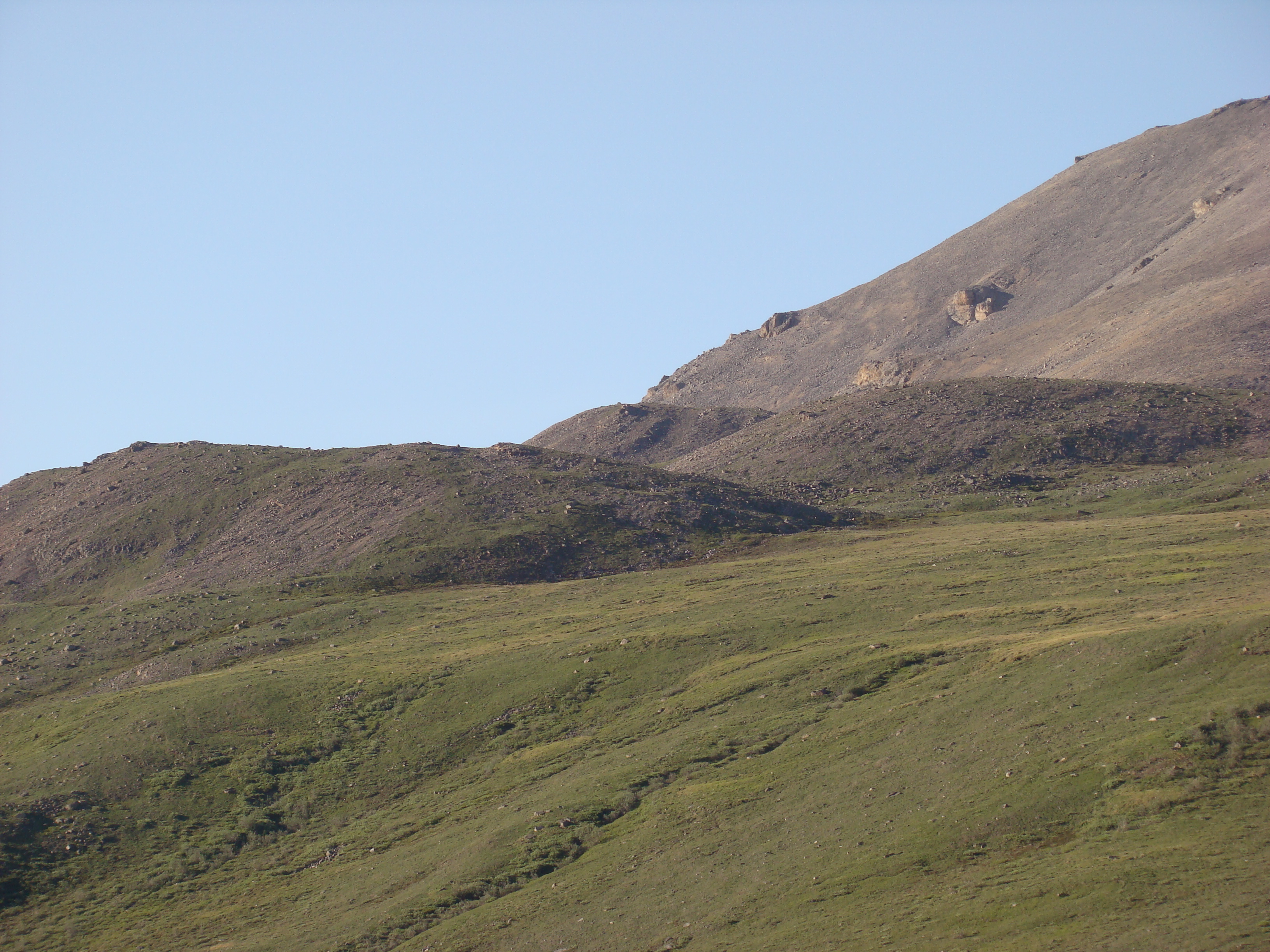
Another view of Mt. Denali, further north.
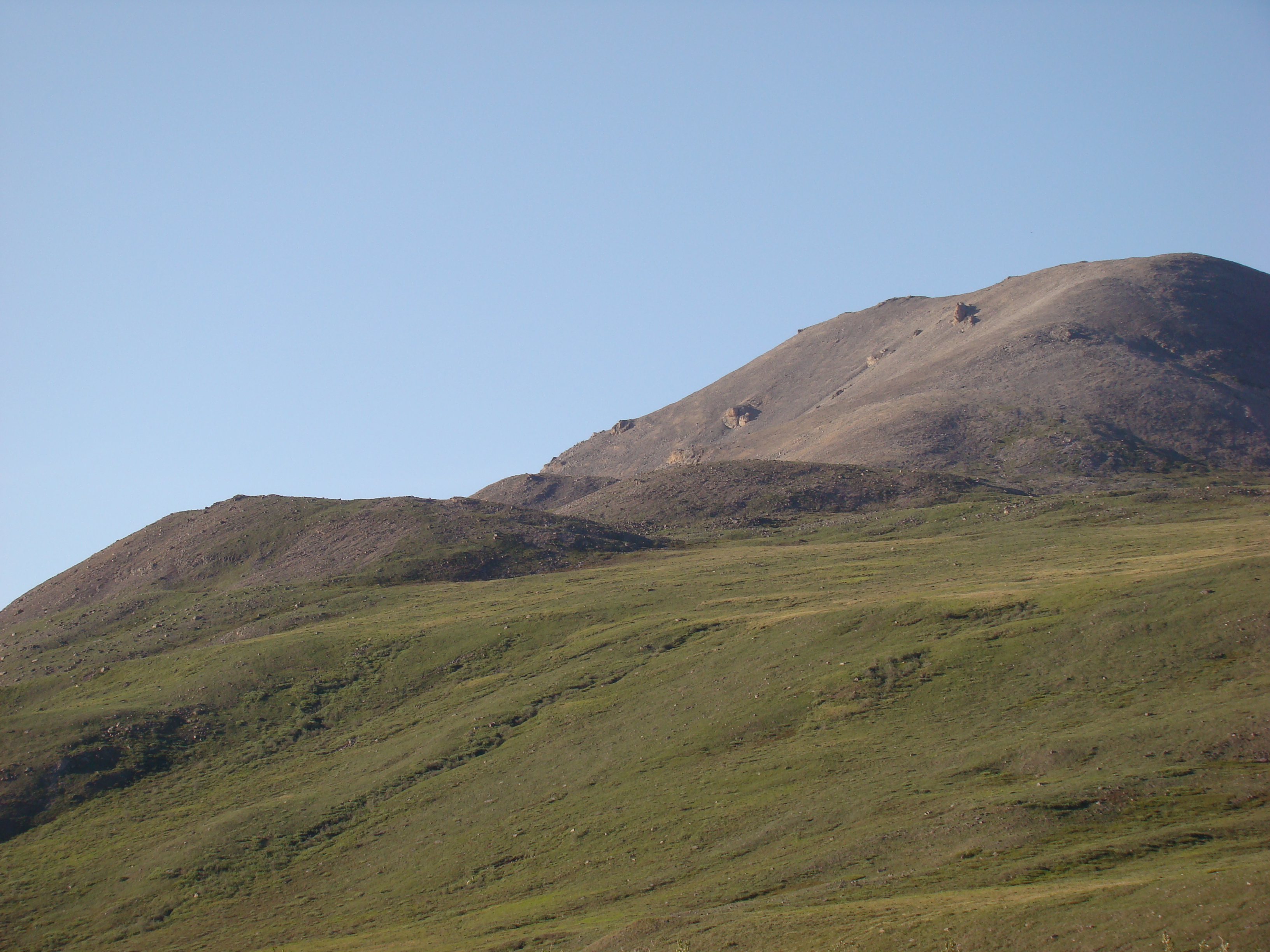
Another view of Mt. Denali, still further north.
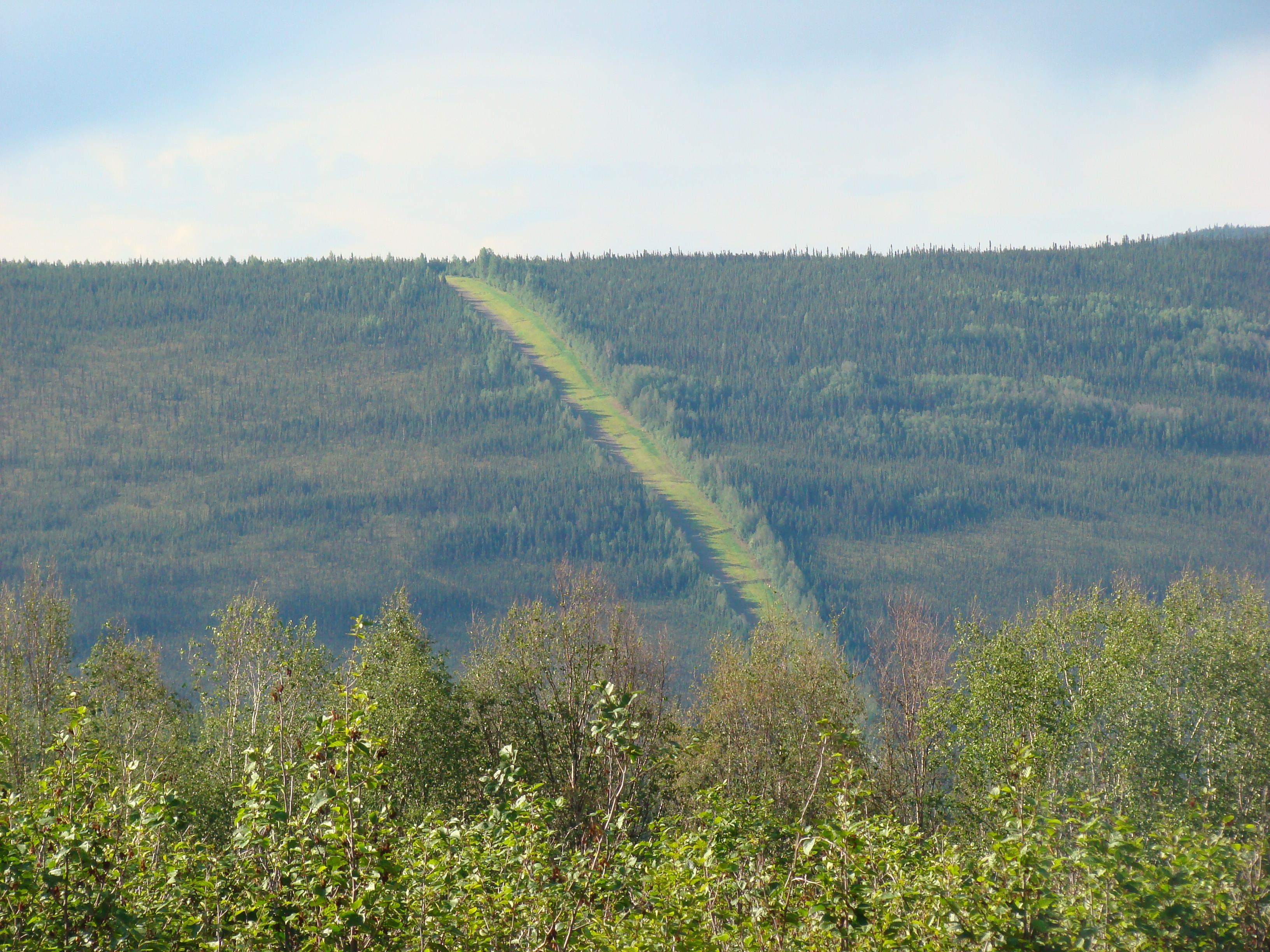
On Saturday, along the road from Fairbanks to the start of the
Dalton, I first saw the Alyeska Pipeline.
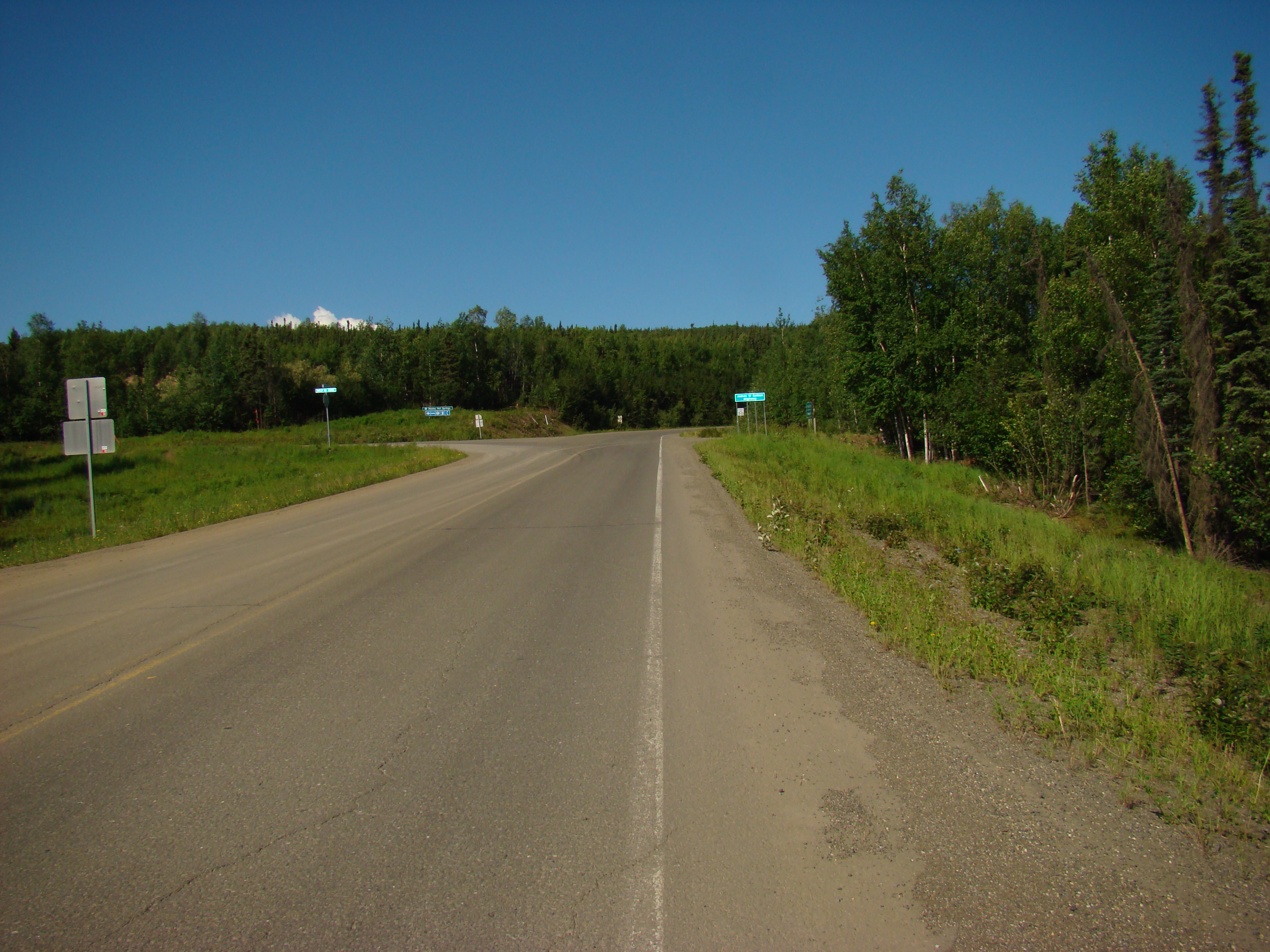
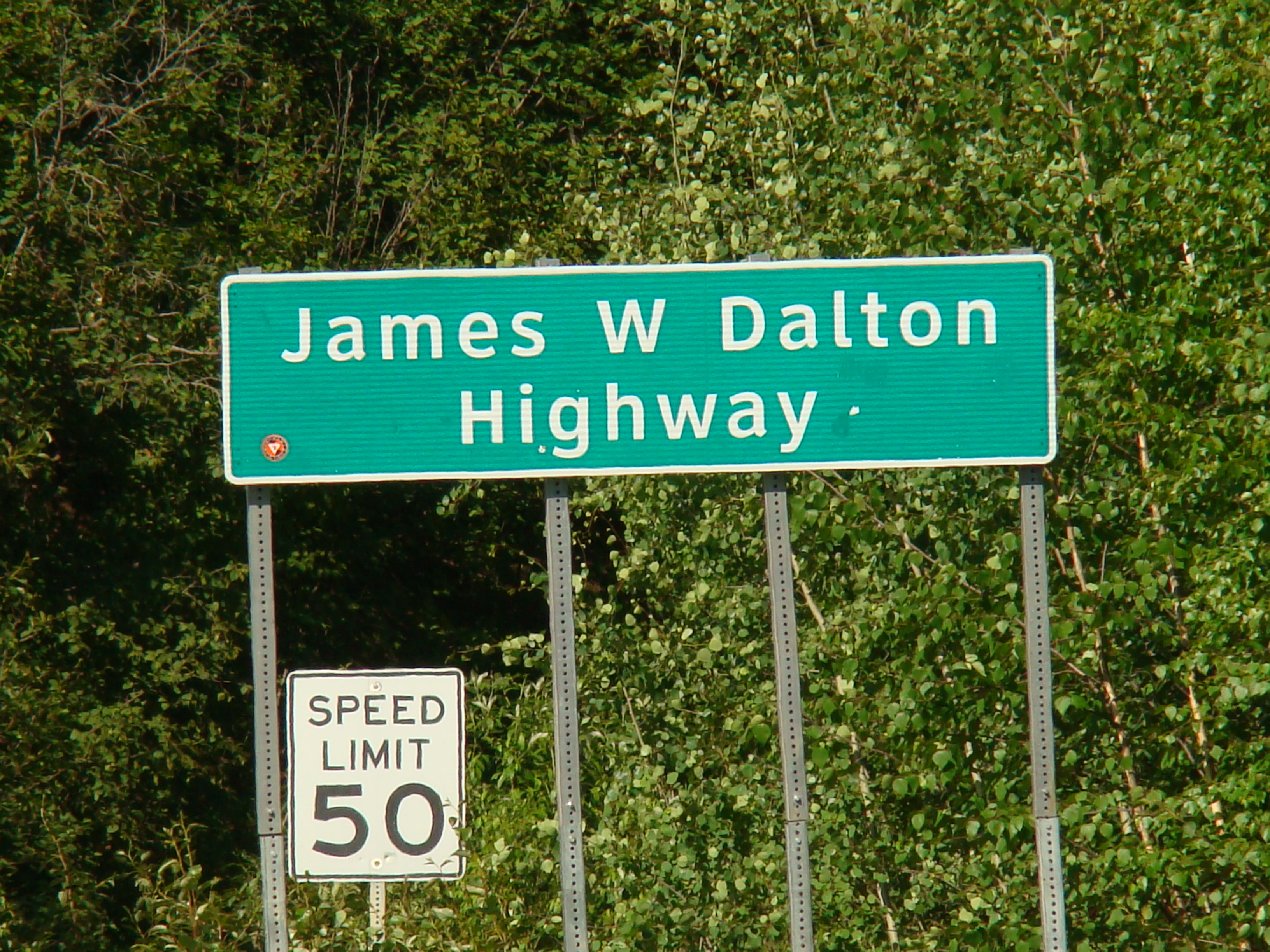
The start of the Dalton Highway. Very exciting!
About 3 miles south of here, a drunk hunter shot the pipeline
and pierced the pipe wall, causing a major oil spill that made
national news in 2002.
http://albionmonitor.com/0109a/alaskapipelinespill.html
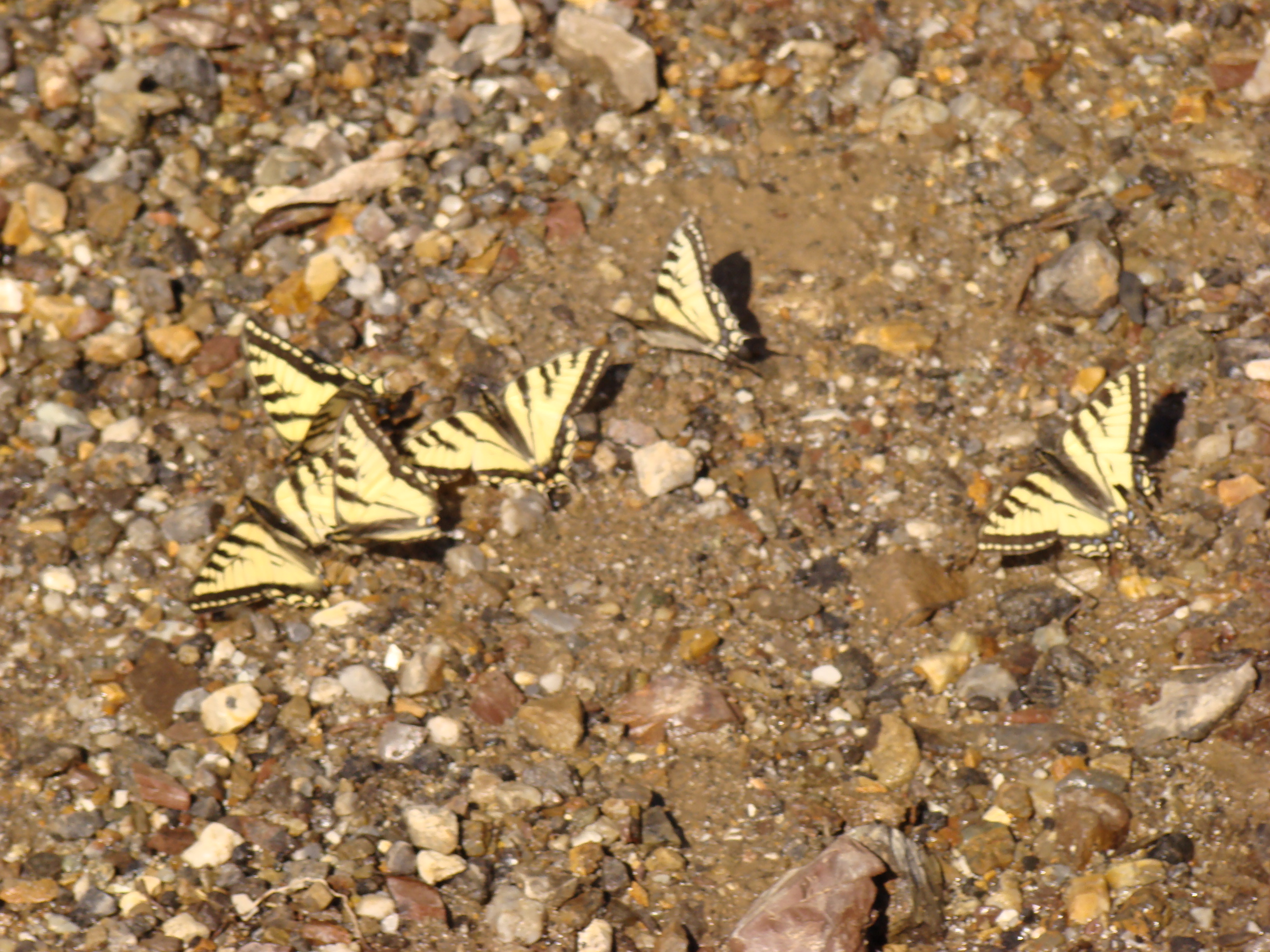
Papilio canadensis was plentiful the first few days. This is
near the 10 km post.
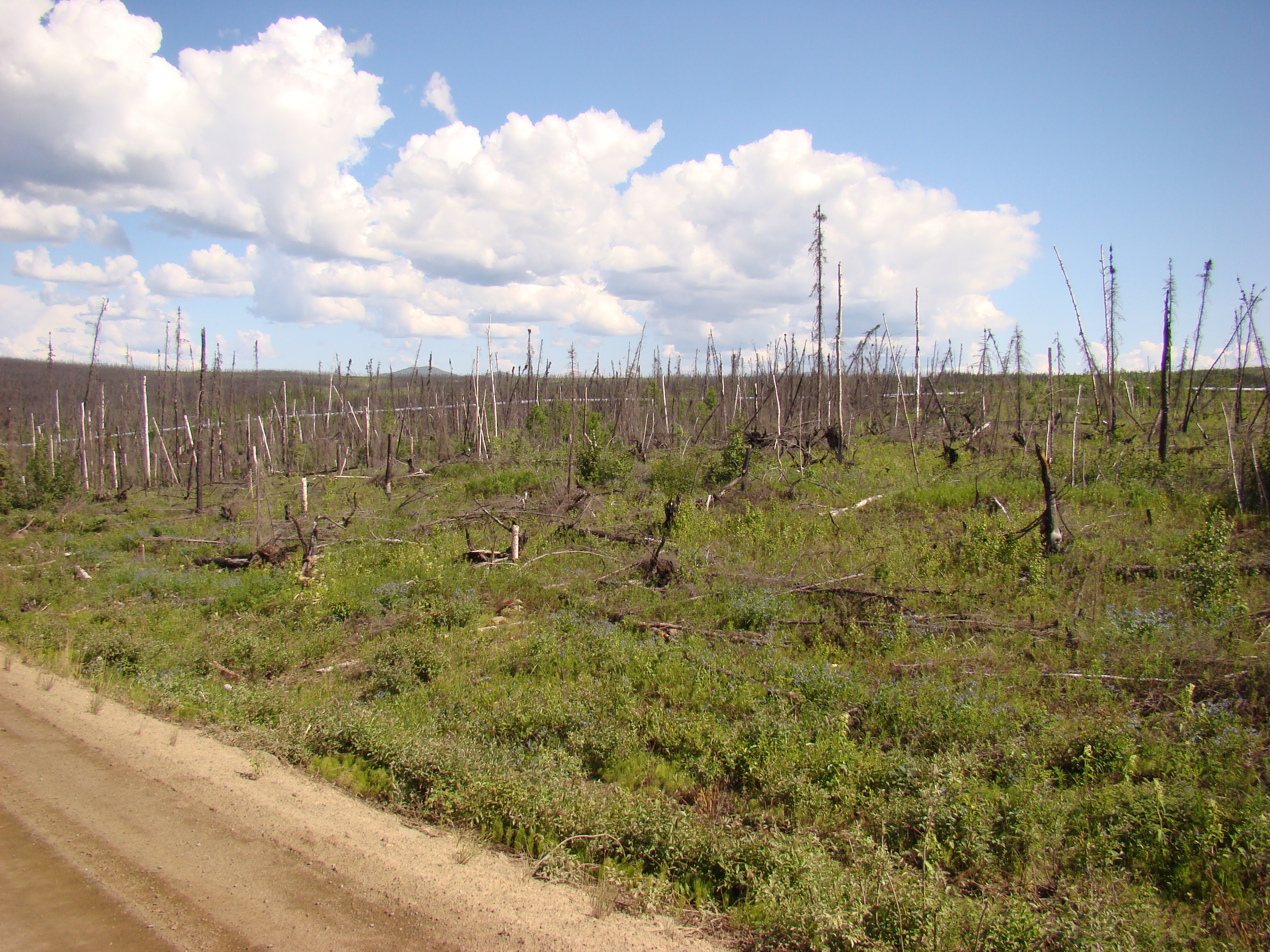
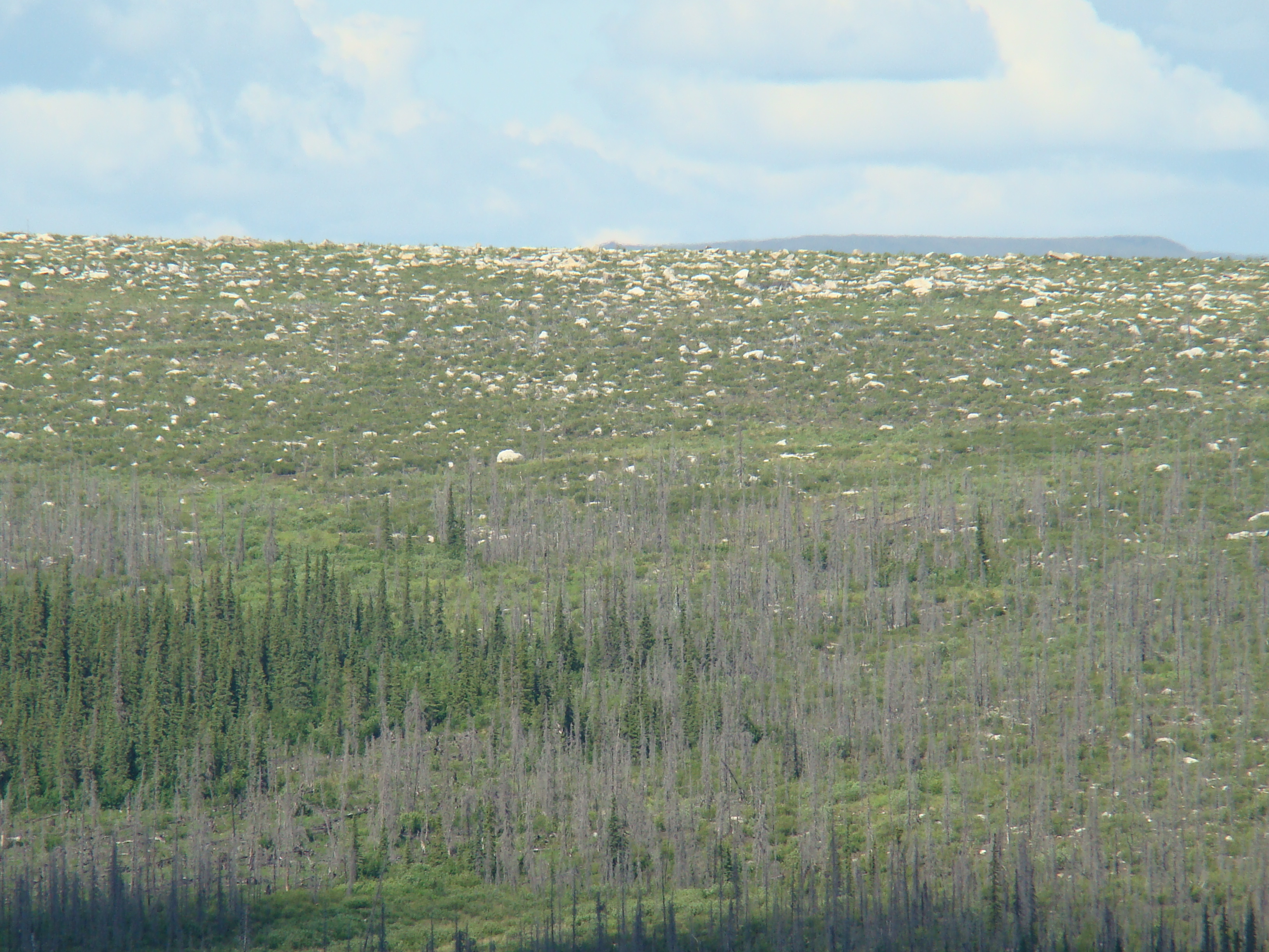
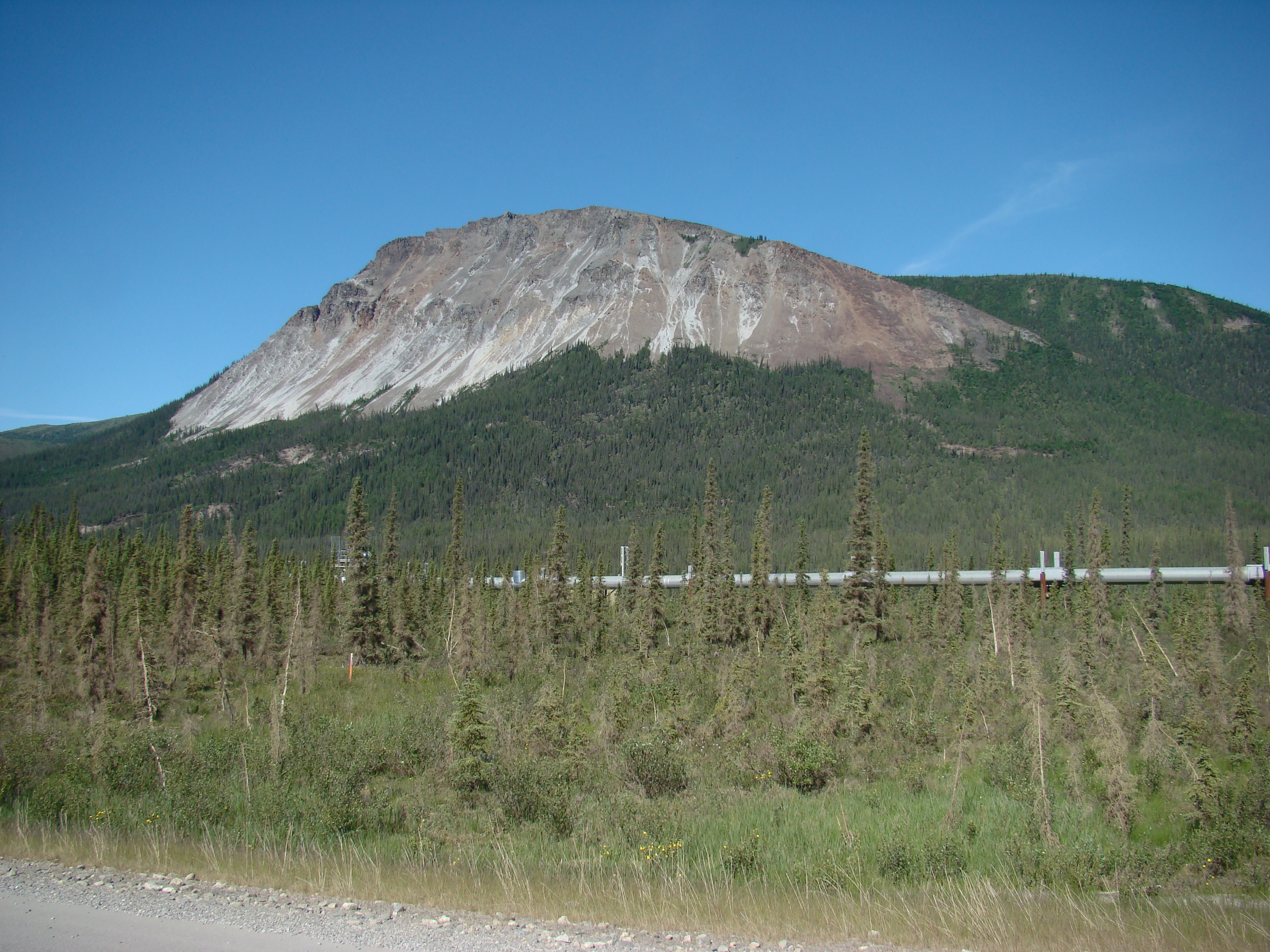
Second growth after a 2004 forest fire, which killed the spruce
forest. On average, forest fires caused by lightning burn
stunted spruce forests every 80 years. Black spruce is one of
the few trees that thrive where shallow permafrost stunts the
roots.
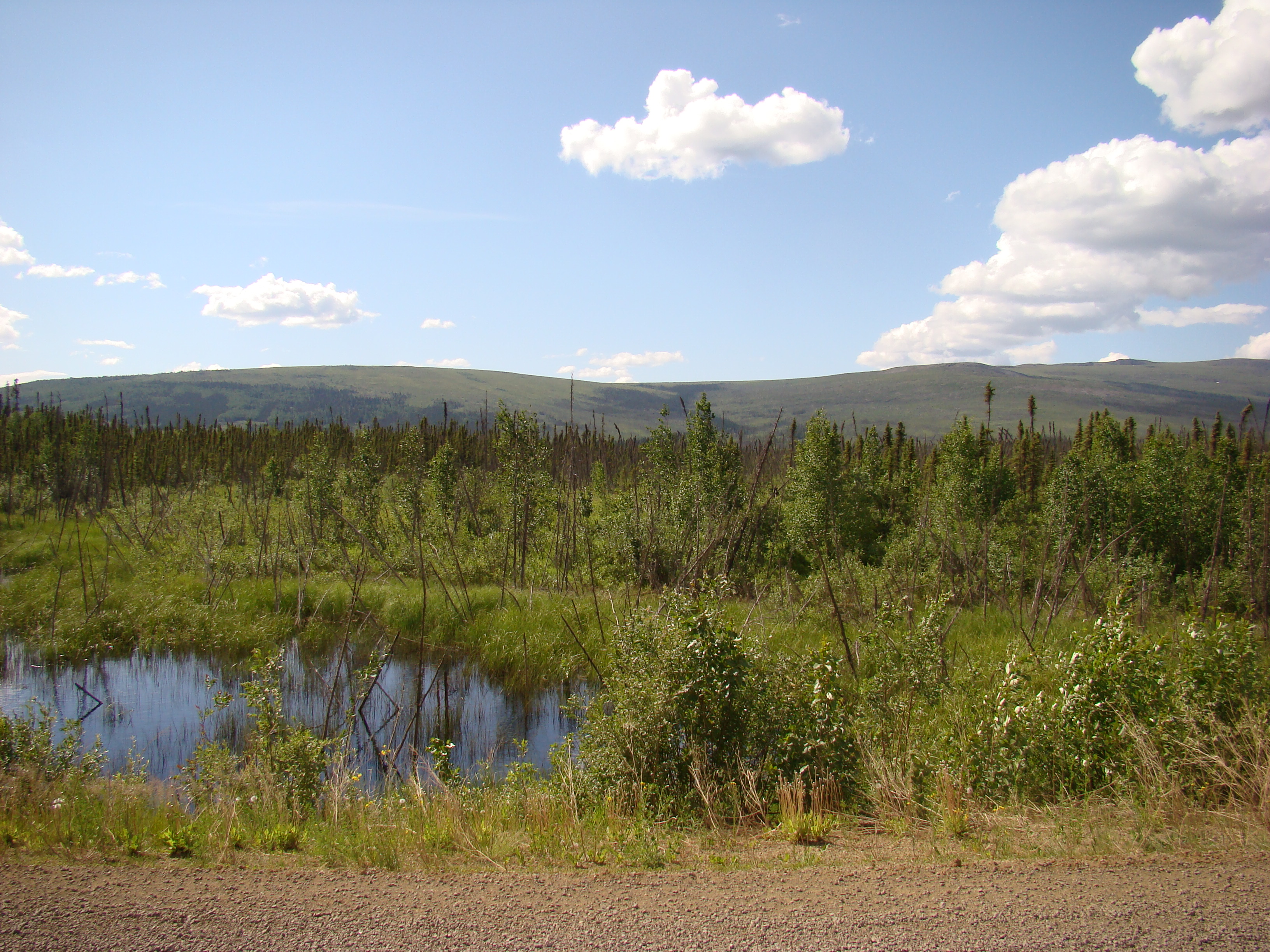
Still Saturday. The weather for the first 10 days was great,
with little rain. Second growth after an earlier forest fire, circa
1990 or so.
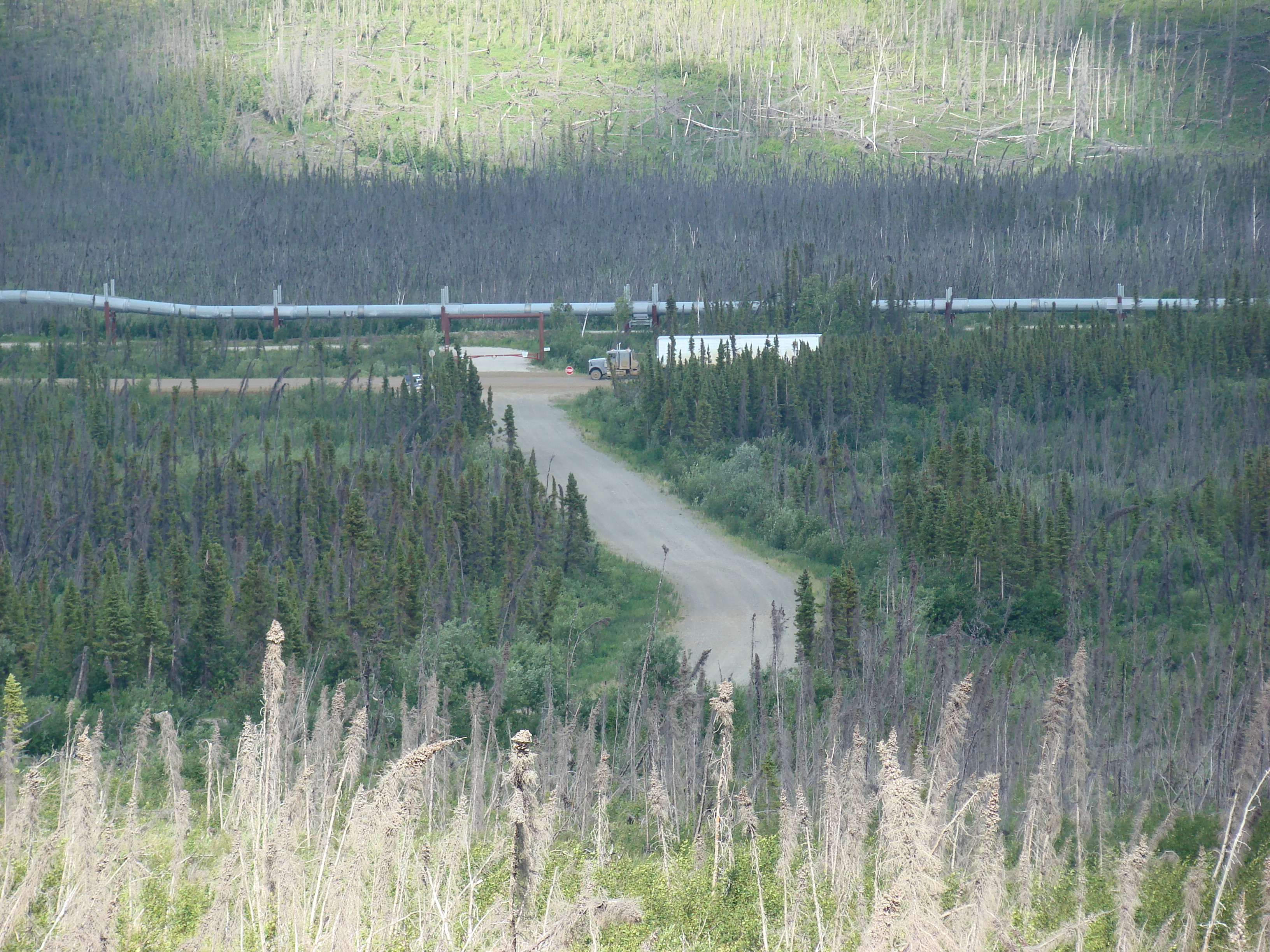
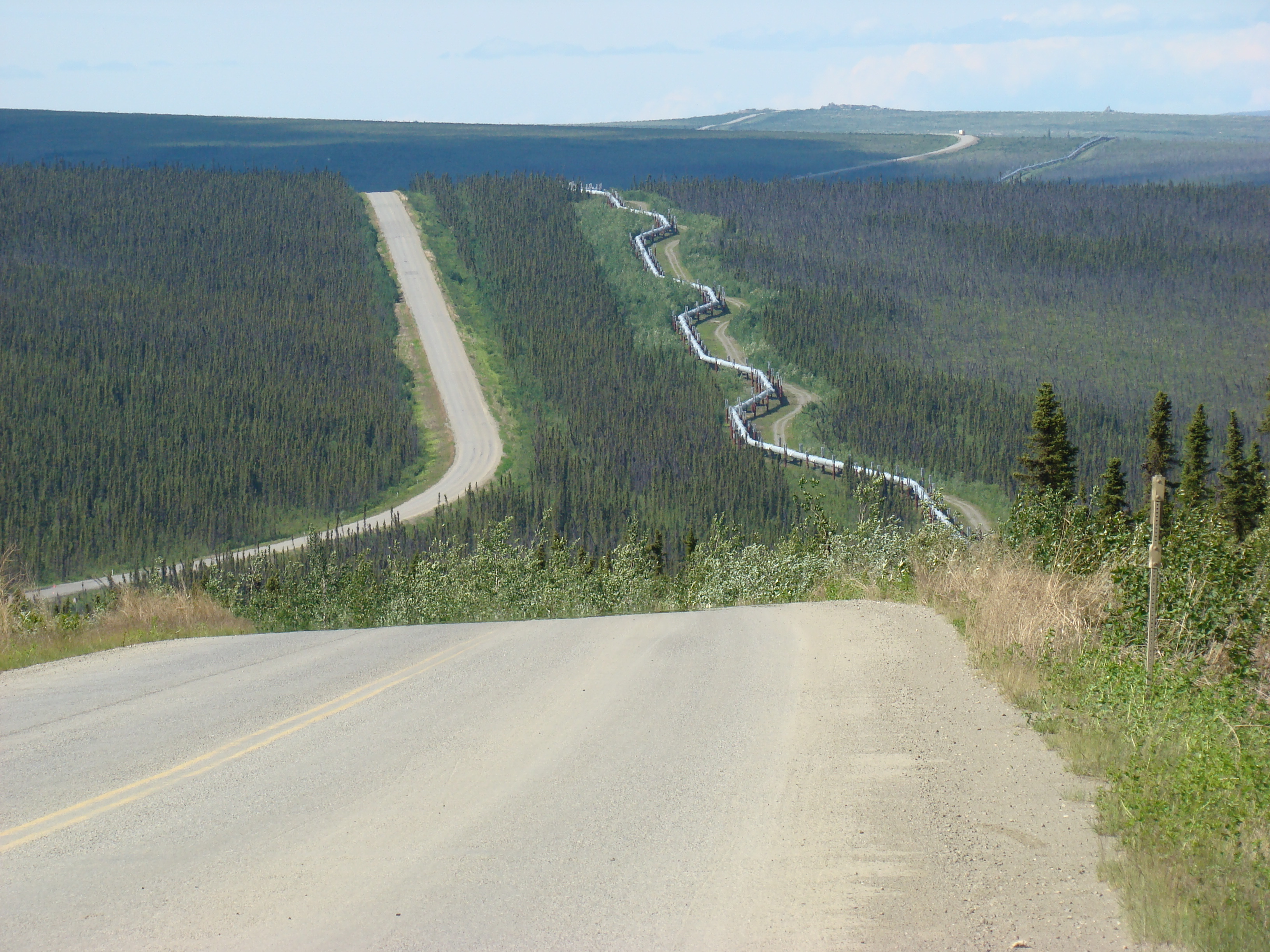
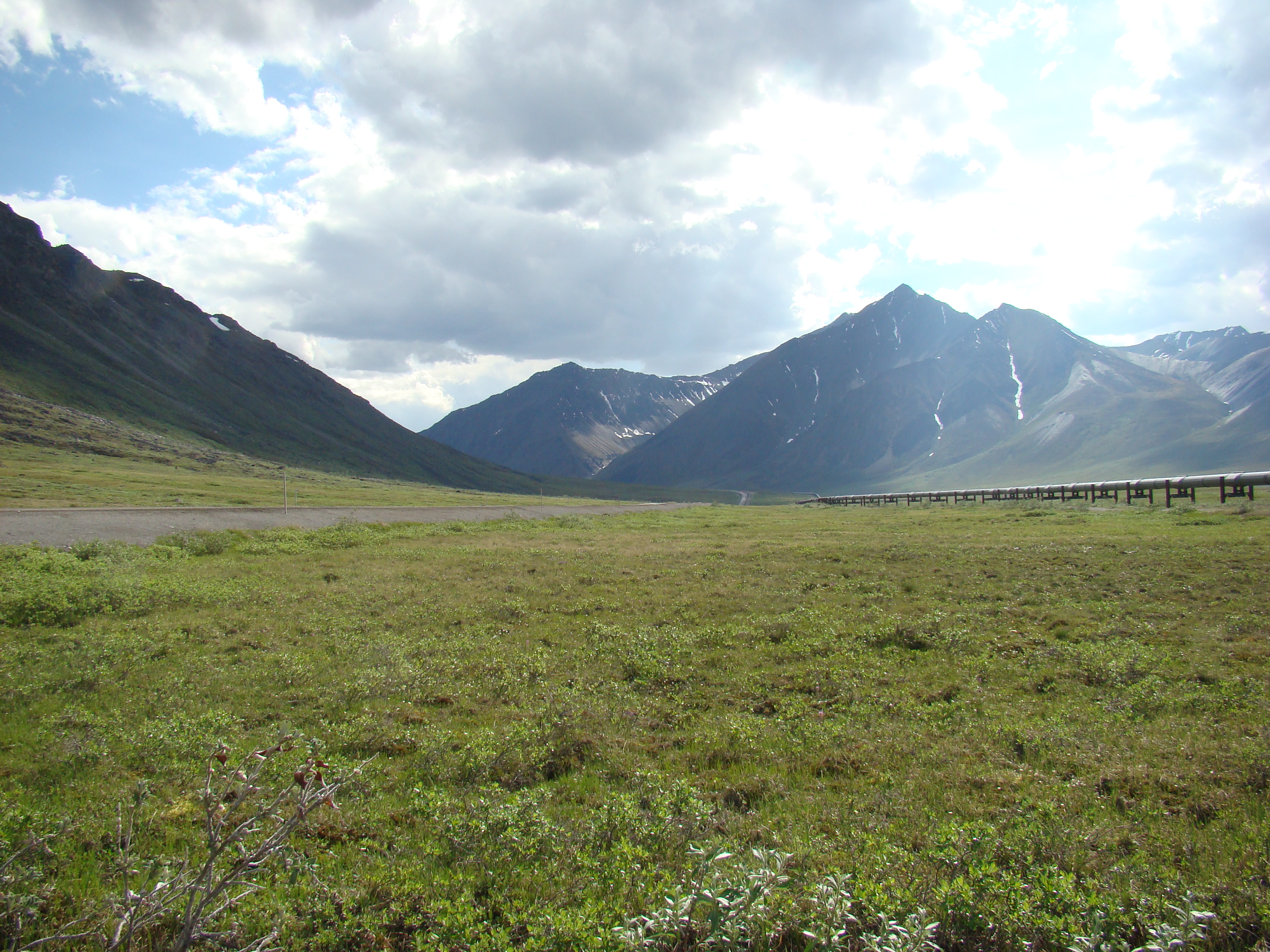
Looking down on the Dalton.
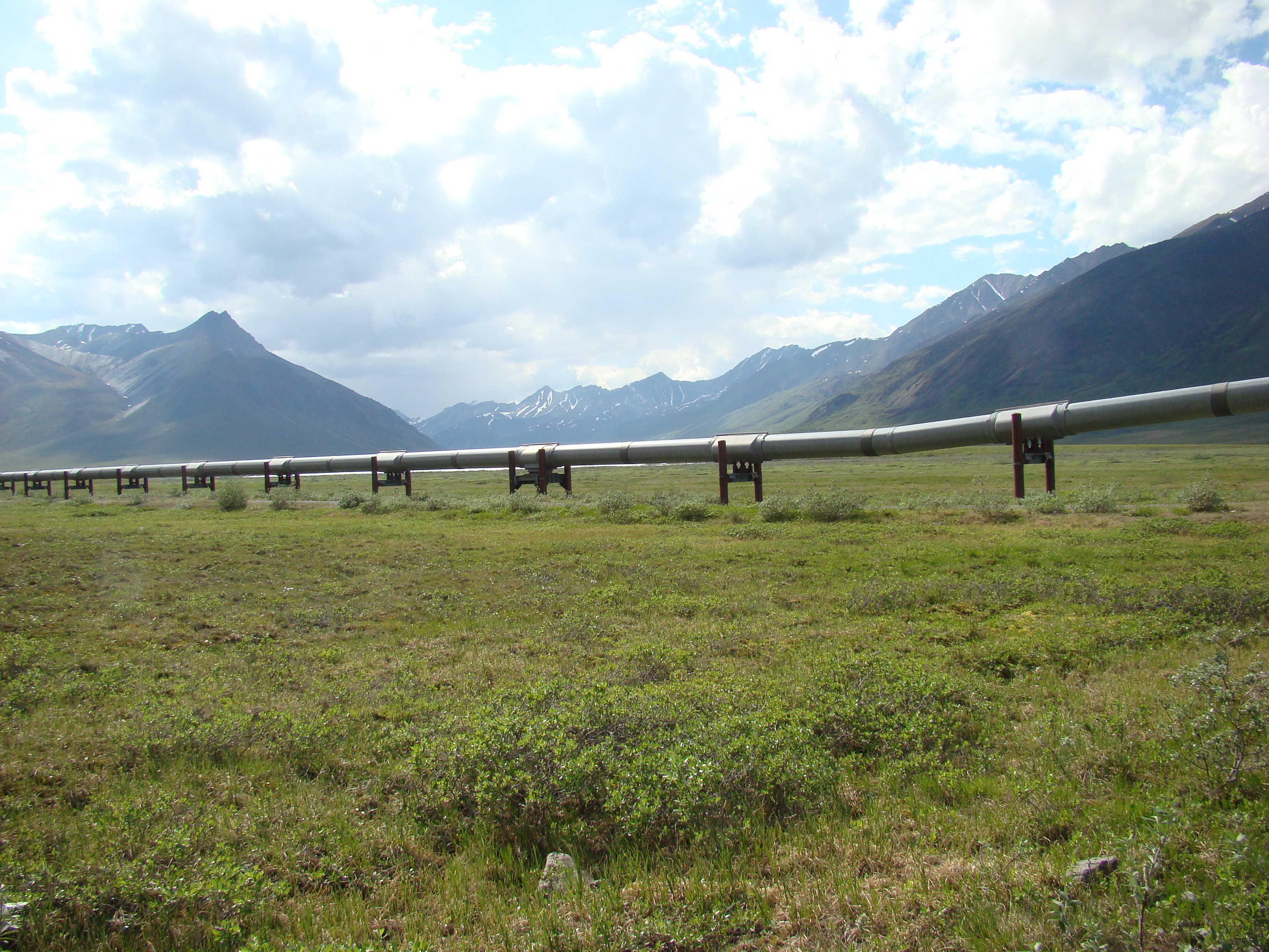
These 'kinks' in the pipeline allow it to flex as the pipe expands
and contracts due to temperature changes. Without these
kinks, thermal expansion forces could over-stress the pipe wall.
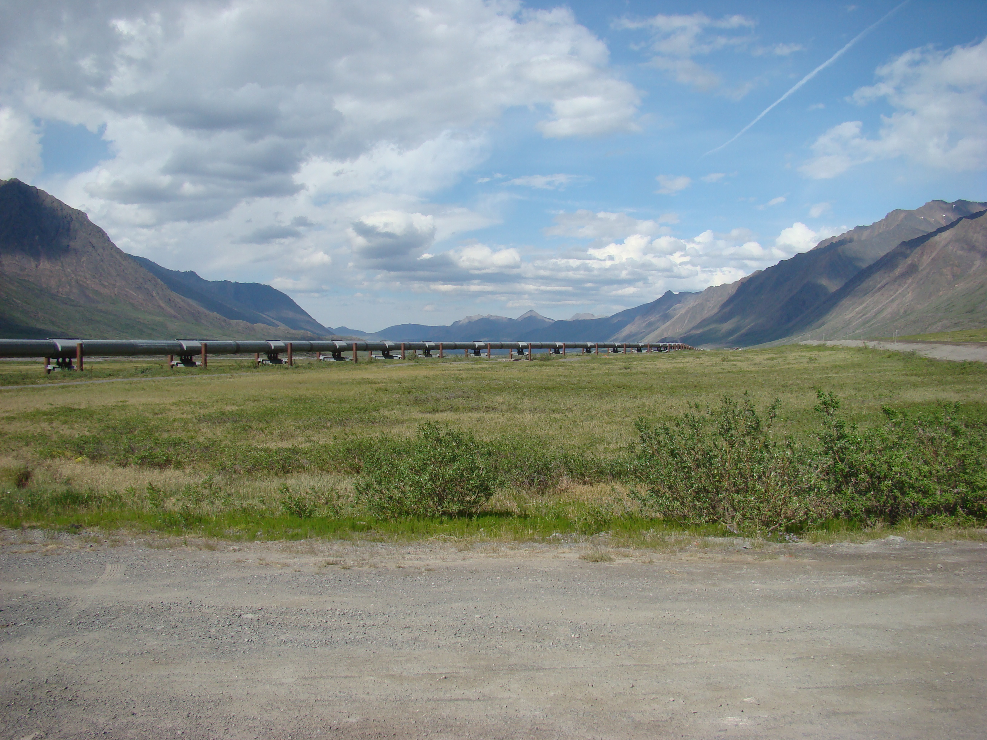
About 95 km on the Dalton. The mileposts run from 0 at the
southern end.
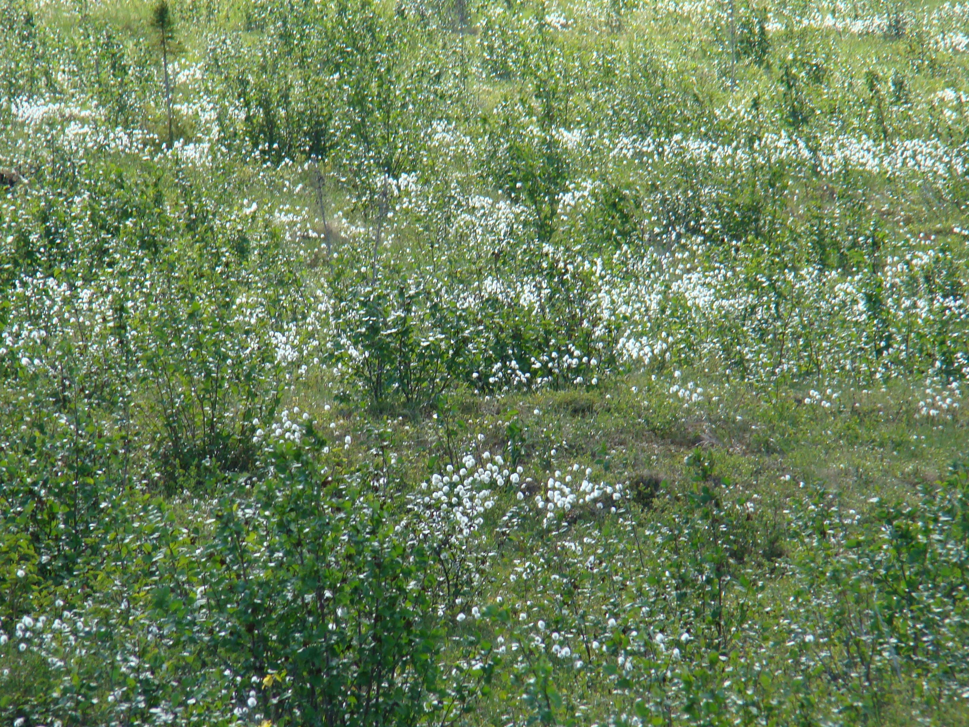
The white-topped plant is Eriophorum vaginatum.
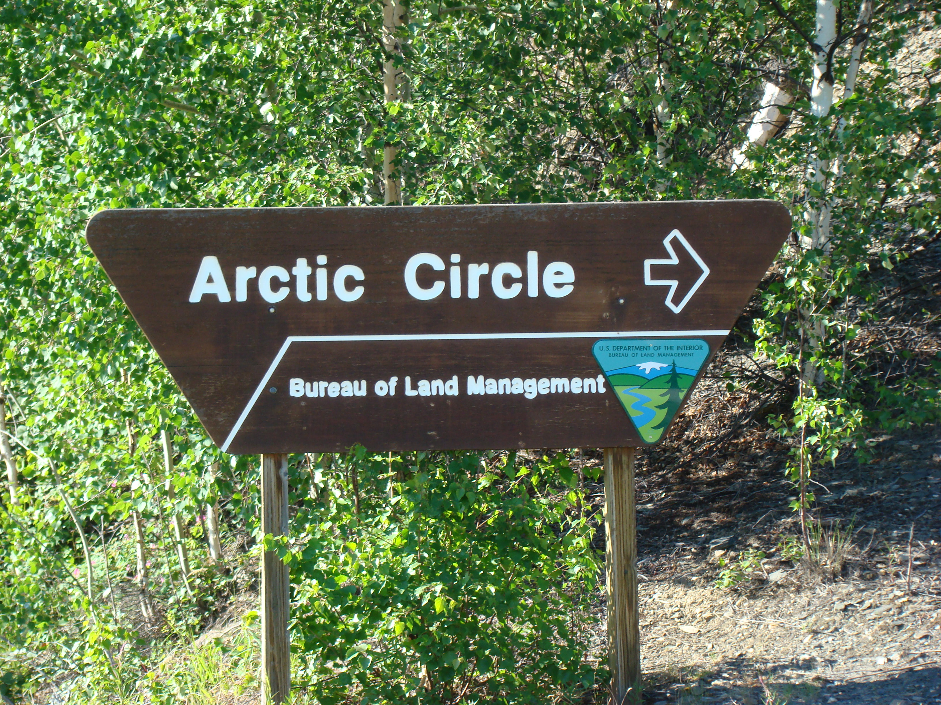
Entrance to the Arctic circle wayside and campground, where I
stayed Saturday night.
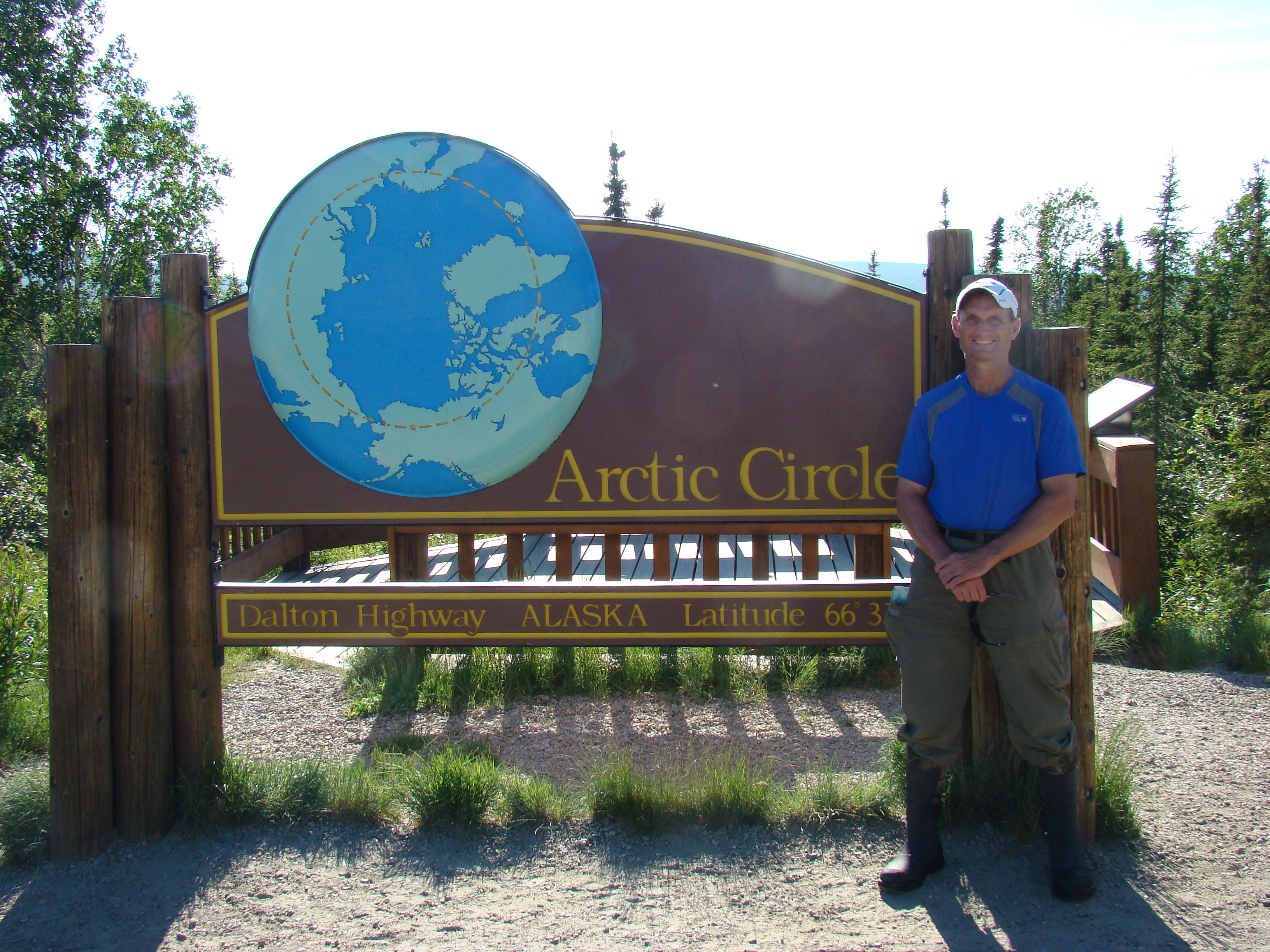
Yours truly!
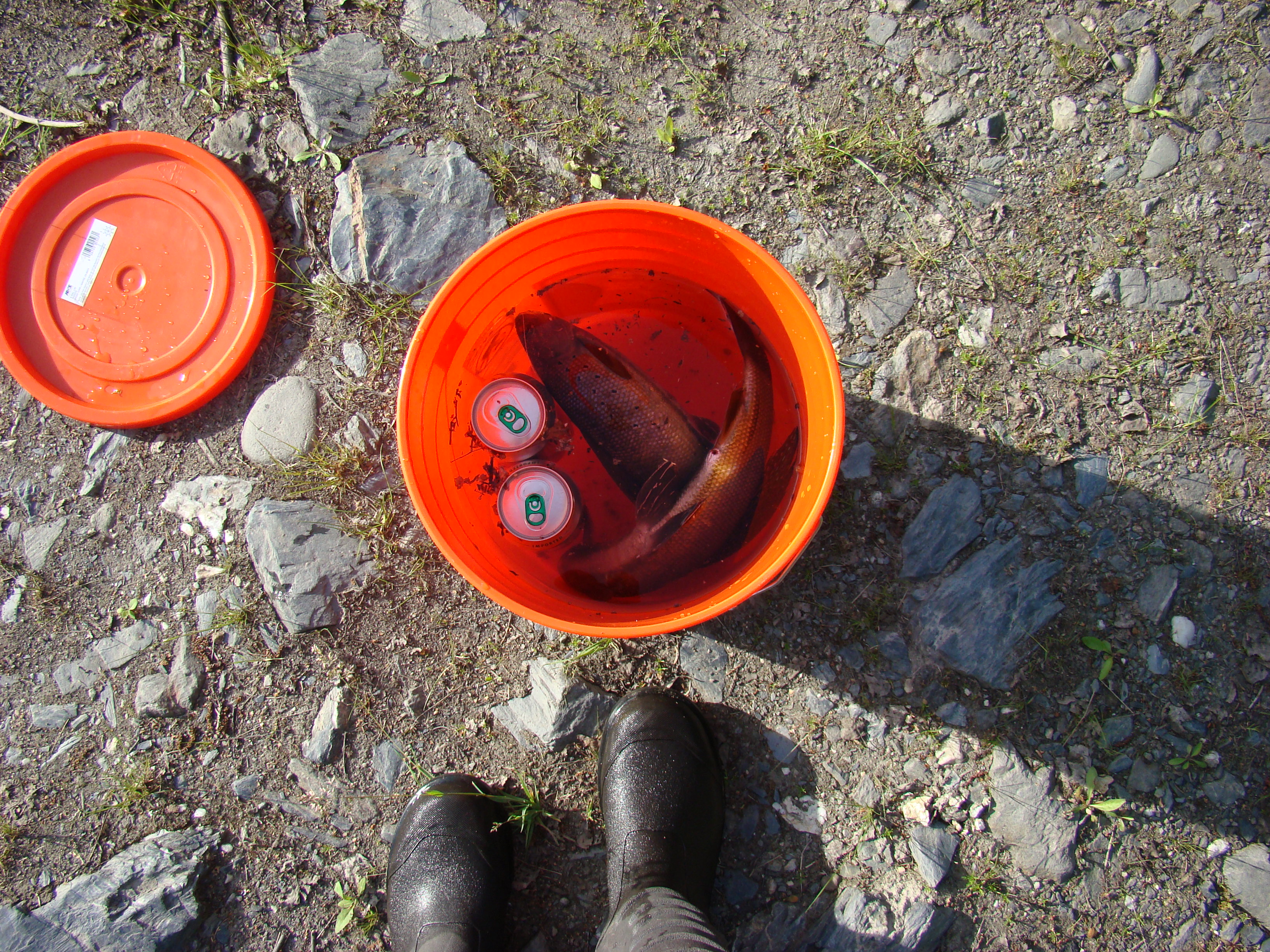
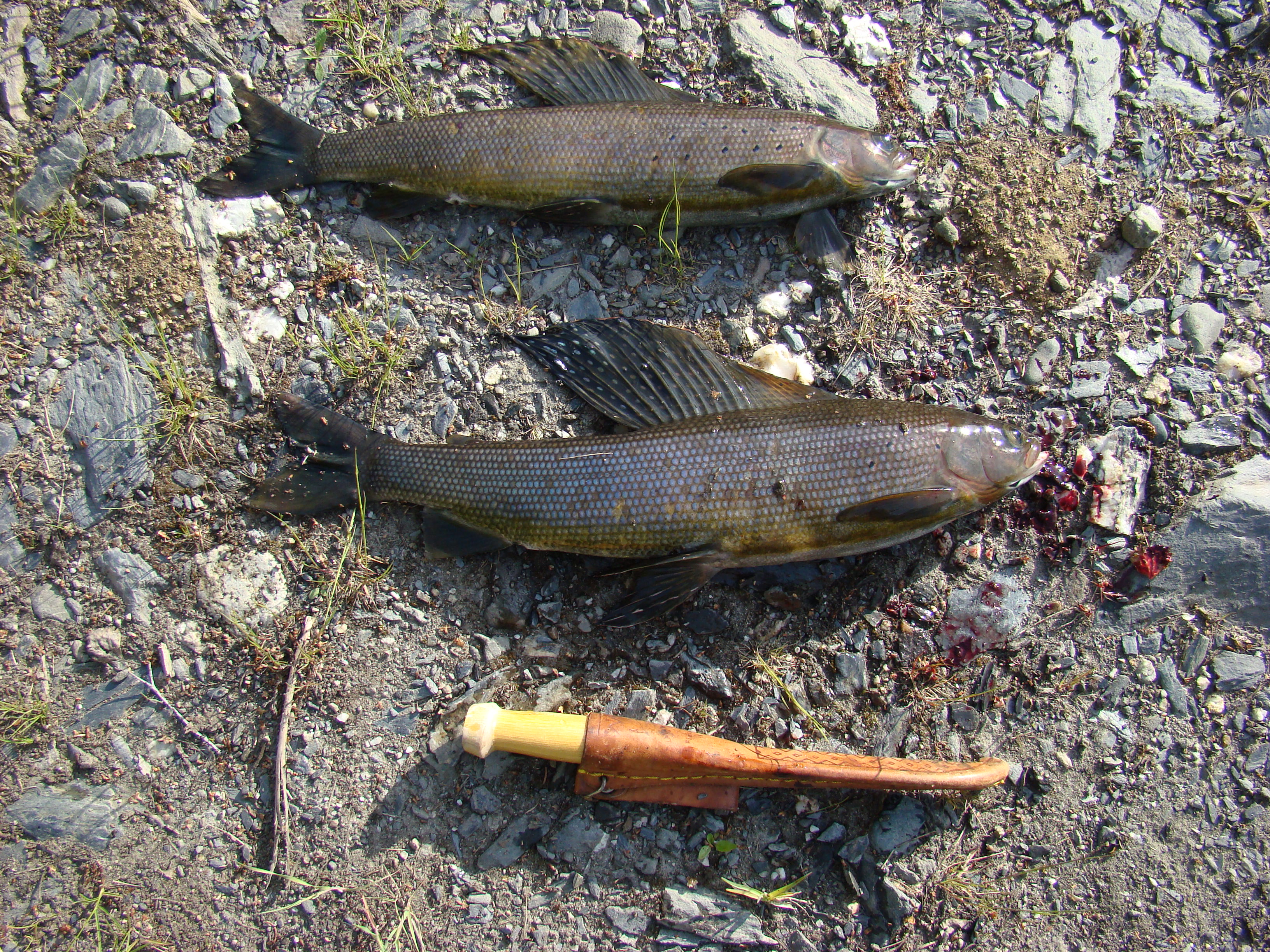
Two nice grayling I caught in the North Fork of Bonanza
Creek, 10 miles north of the arctic circle.
The bottom fish is about 2.5 pounds.
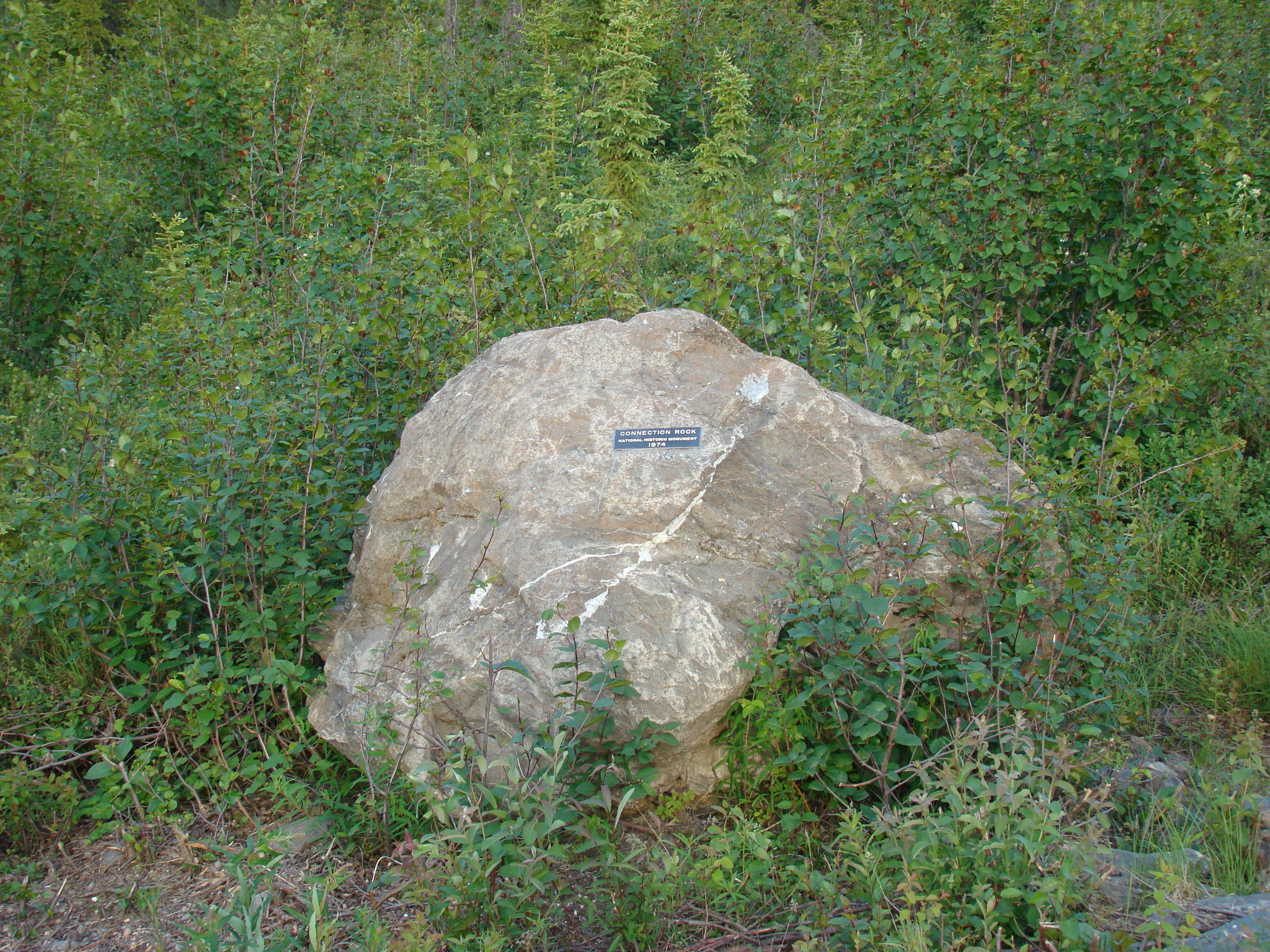
Connection rock, roadside where the southern team met the
northern team building the Dalton Highway.
Campsite at the arctic circle, Saturday night.
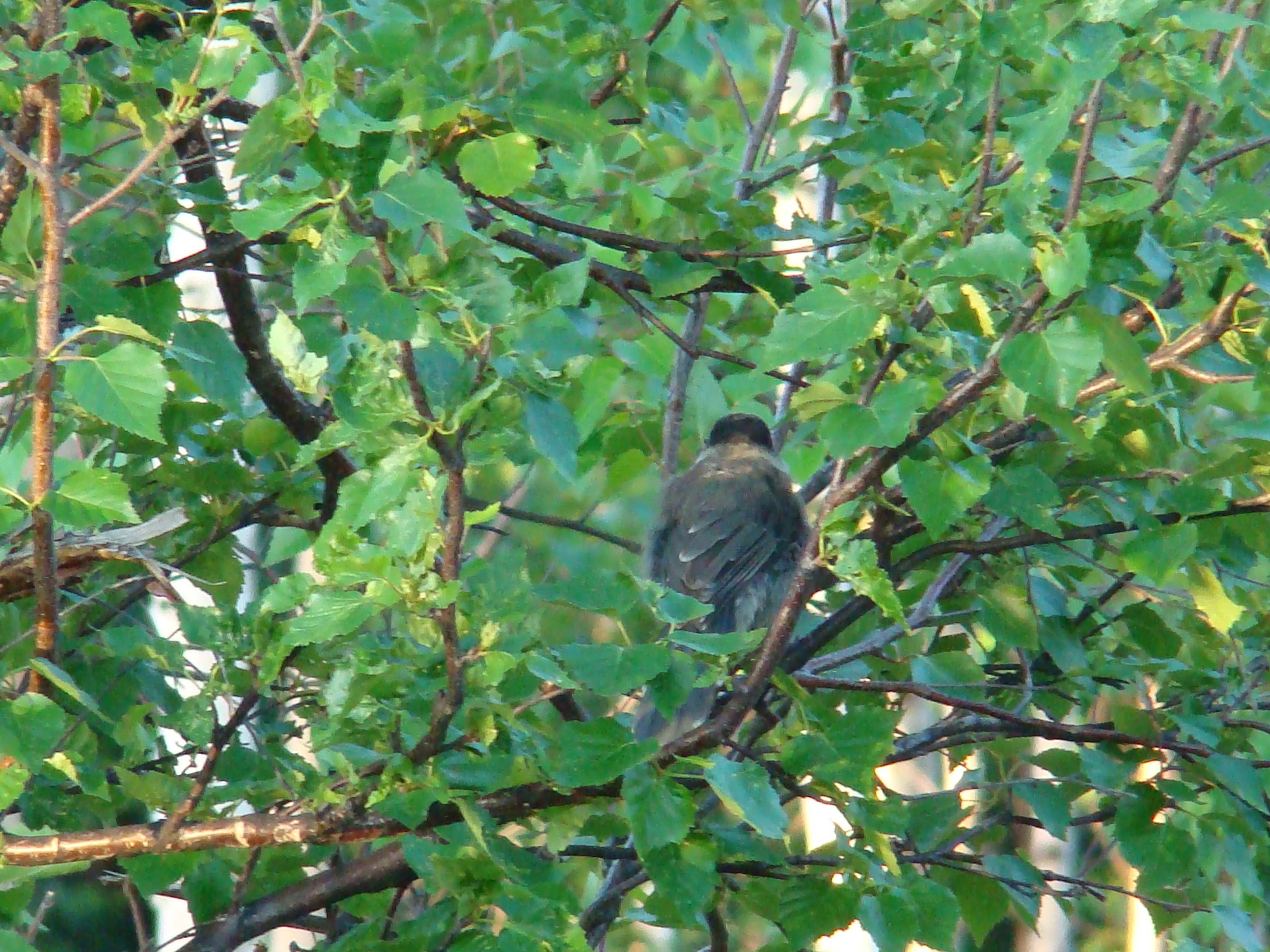
Sunday morning intruder, a Grey Jay.
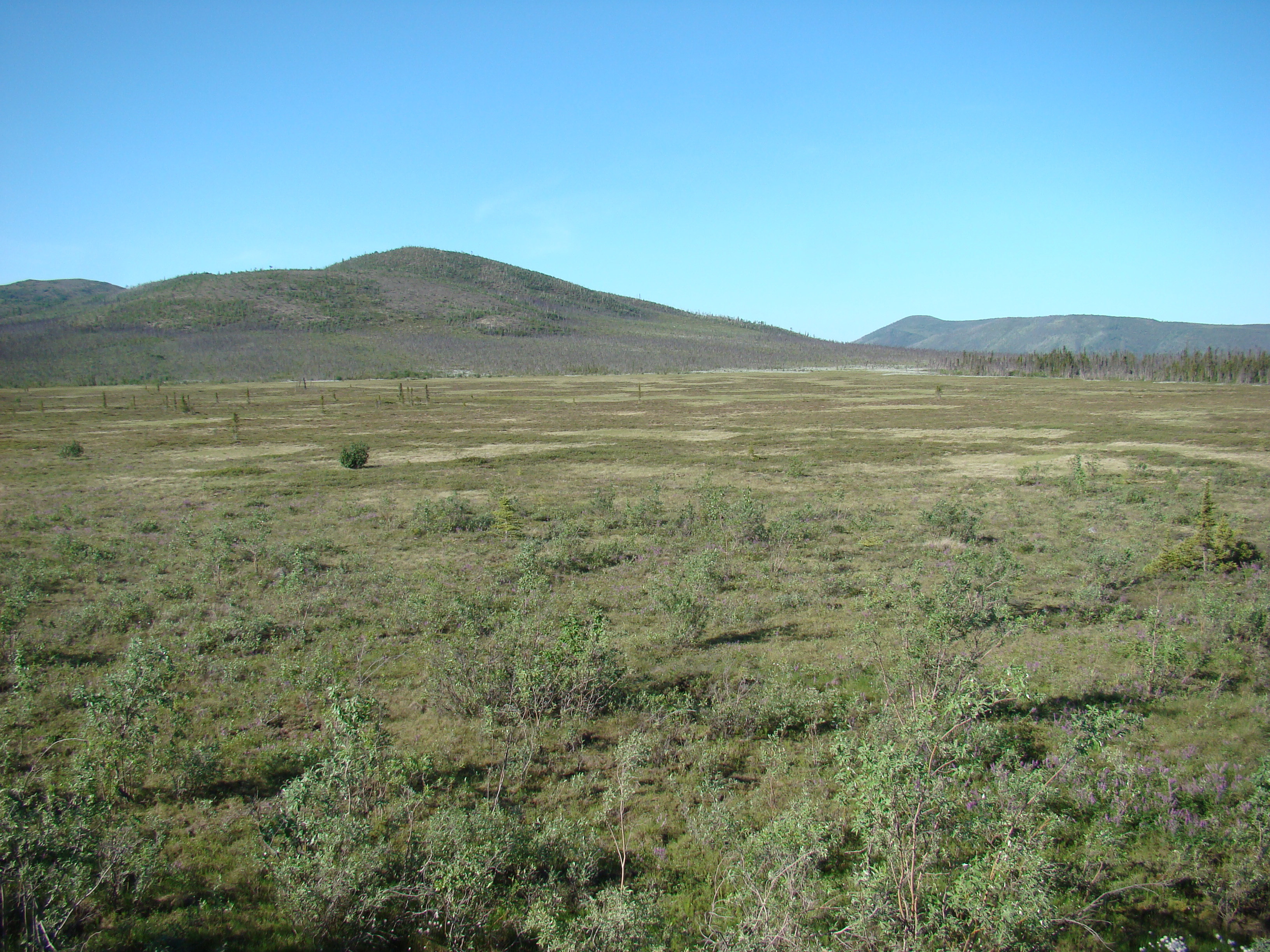
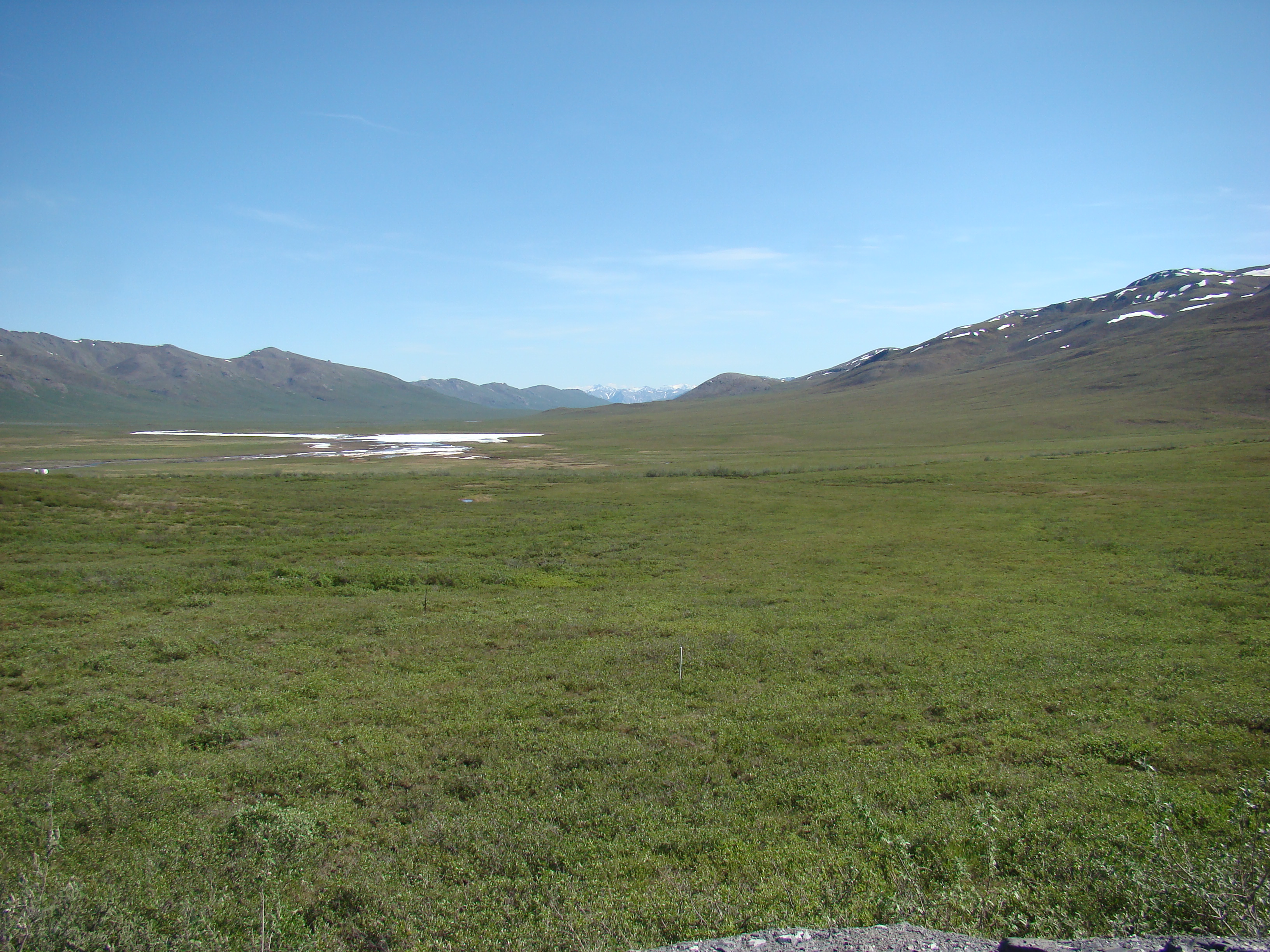
Sunday morning, just north of the arctic circle.
Sunday morning, just north of the arctic circle.
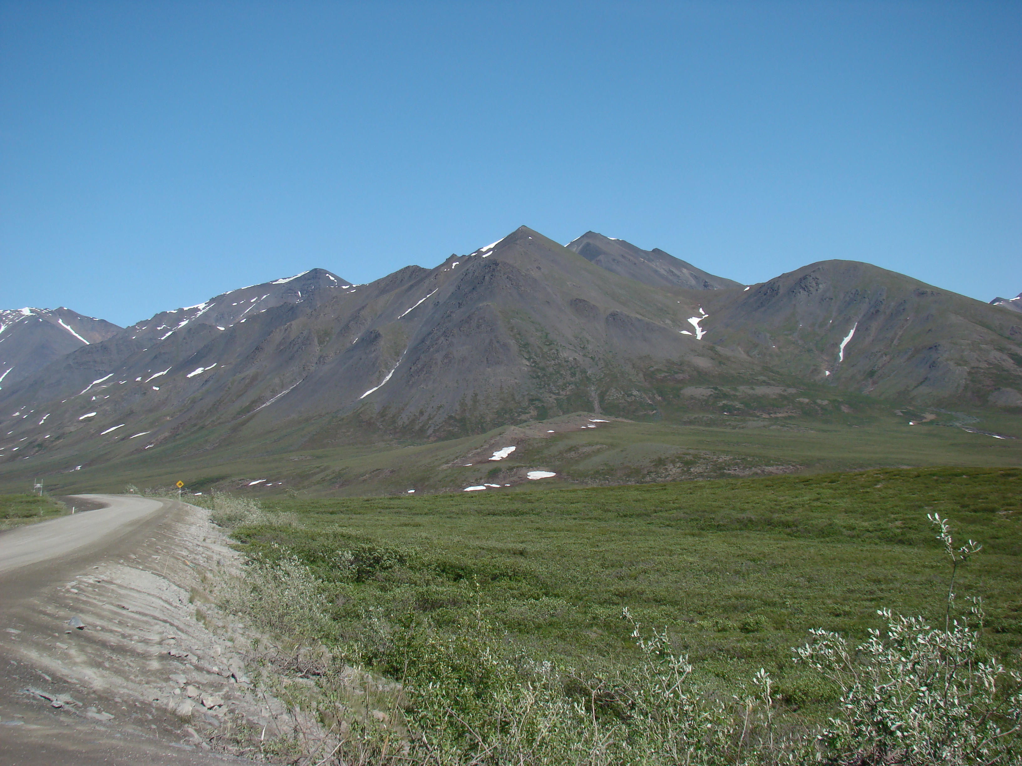
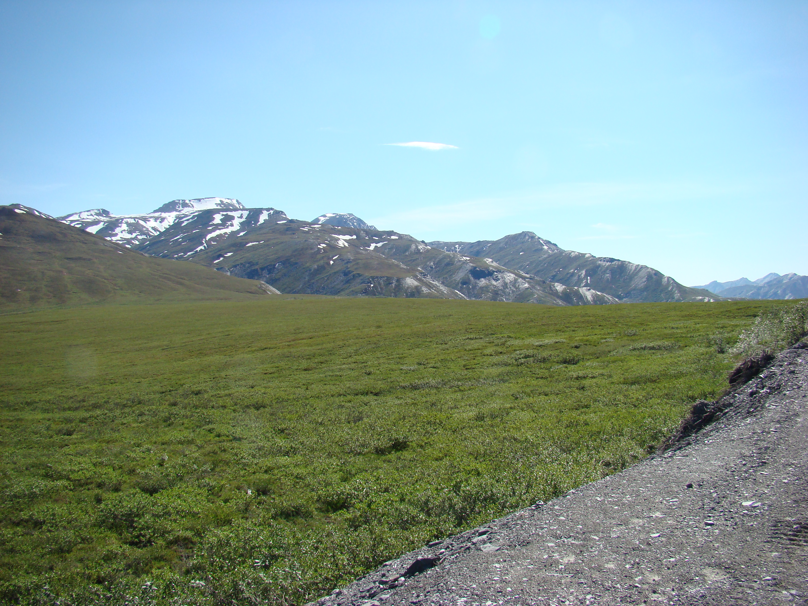
Along the Dalton, near Chandalar Shelf, a few miles south of
Atigun Pass.
Chandalar Shelf.
Another view of Chandalar Shelf.
Looking south on the Dalton at Chandalar Shelf.
About 10 km south of Atigun Pass, I was going to hike through
this valley, but the hiking was too difficult, and I ditched this
idea.
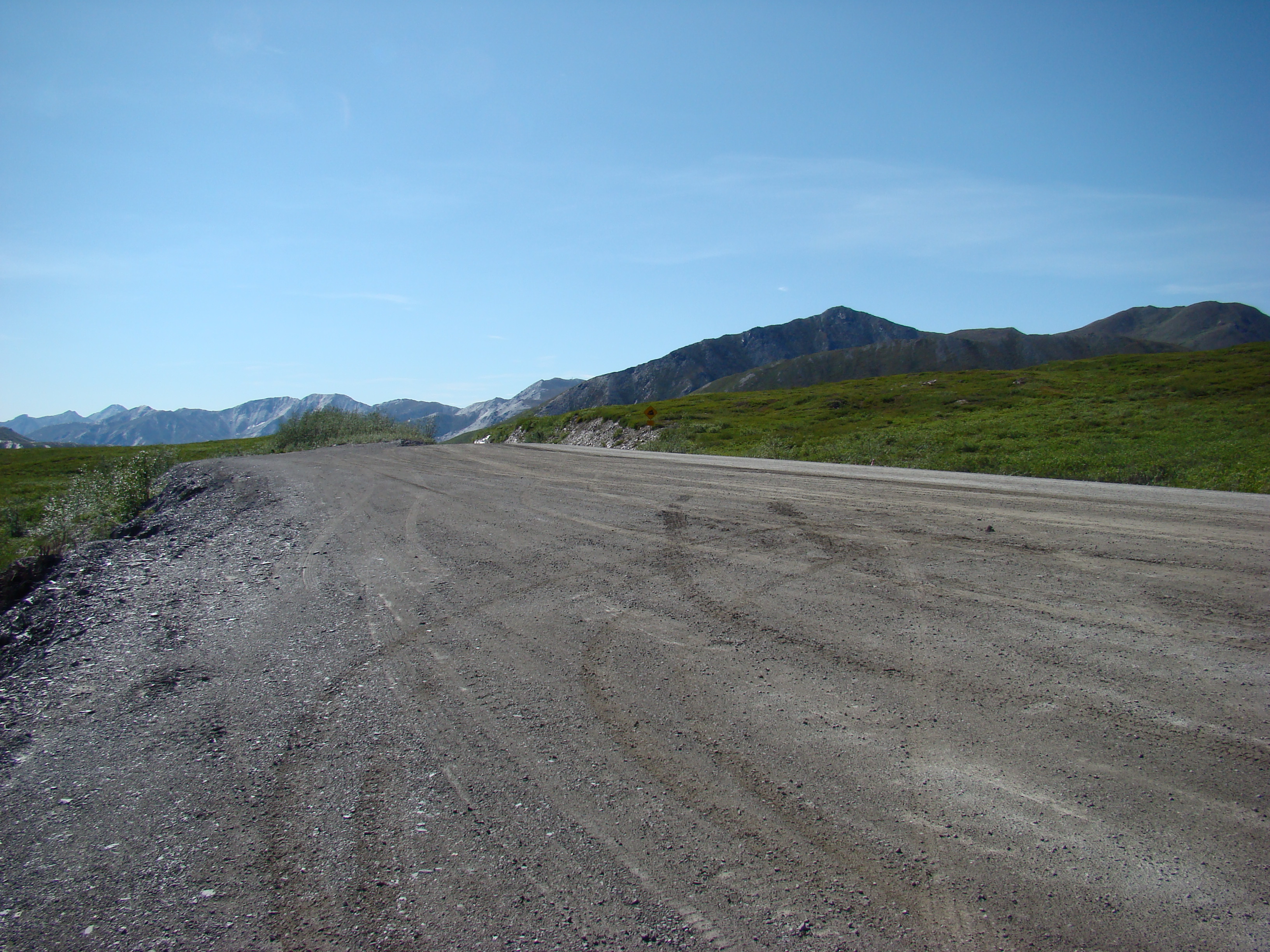
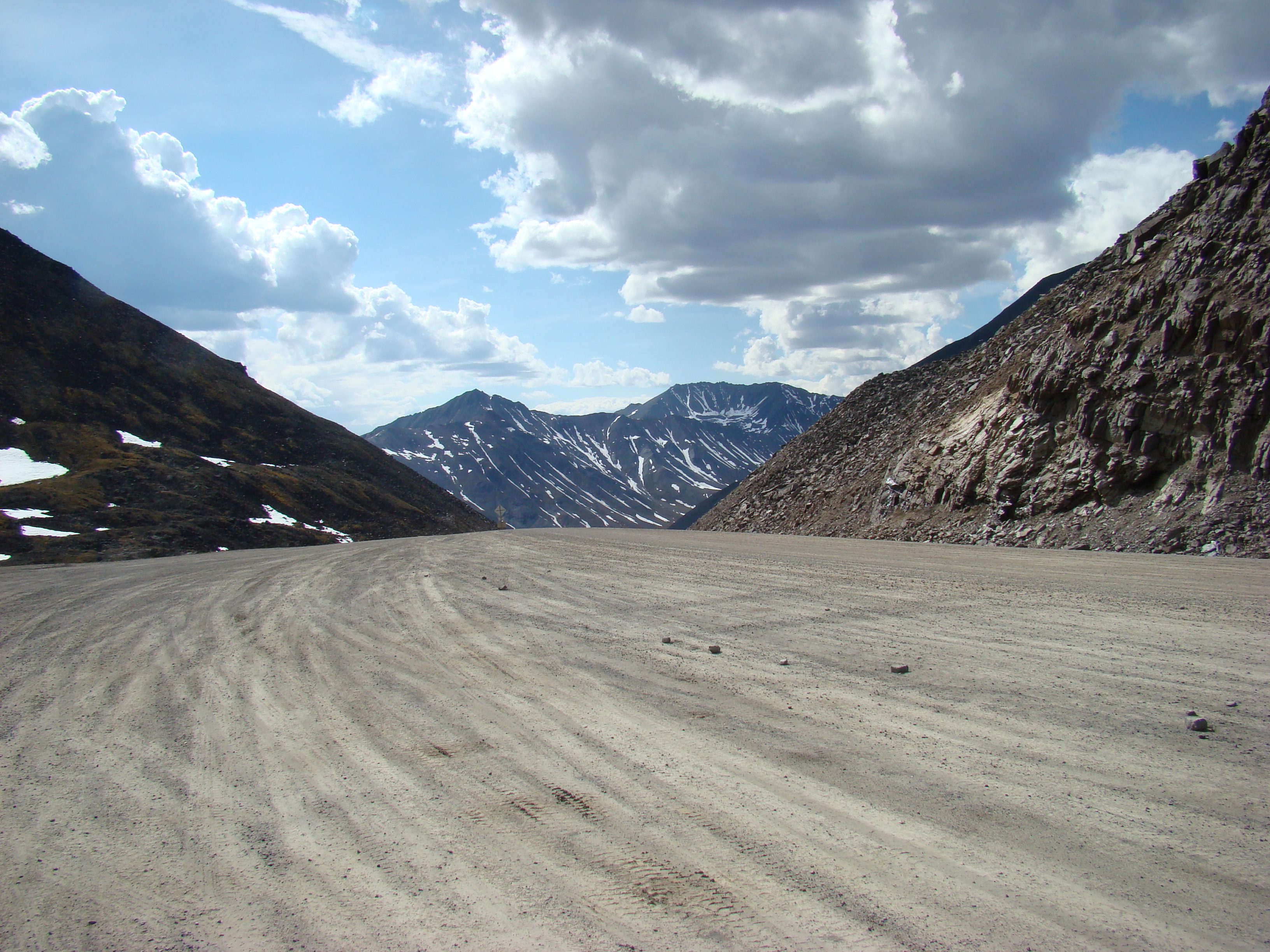
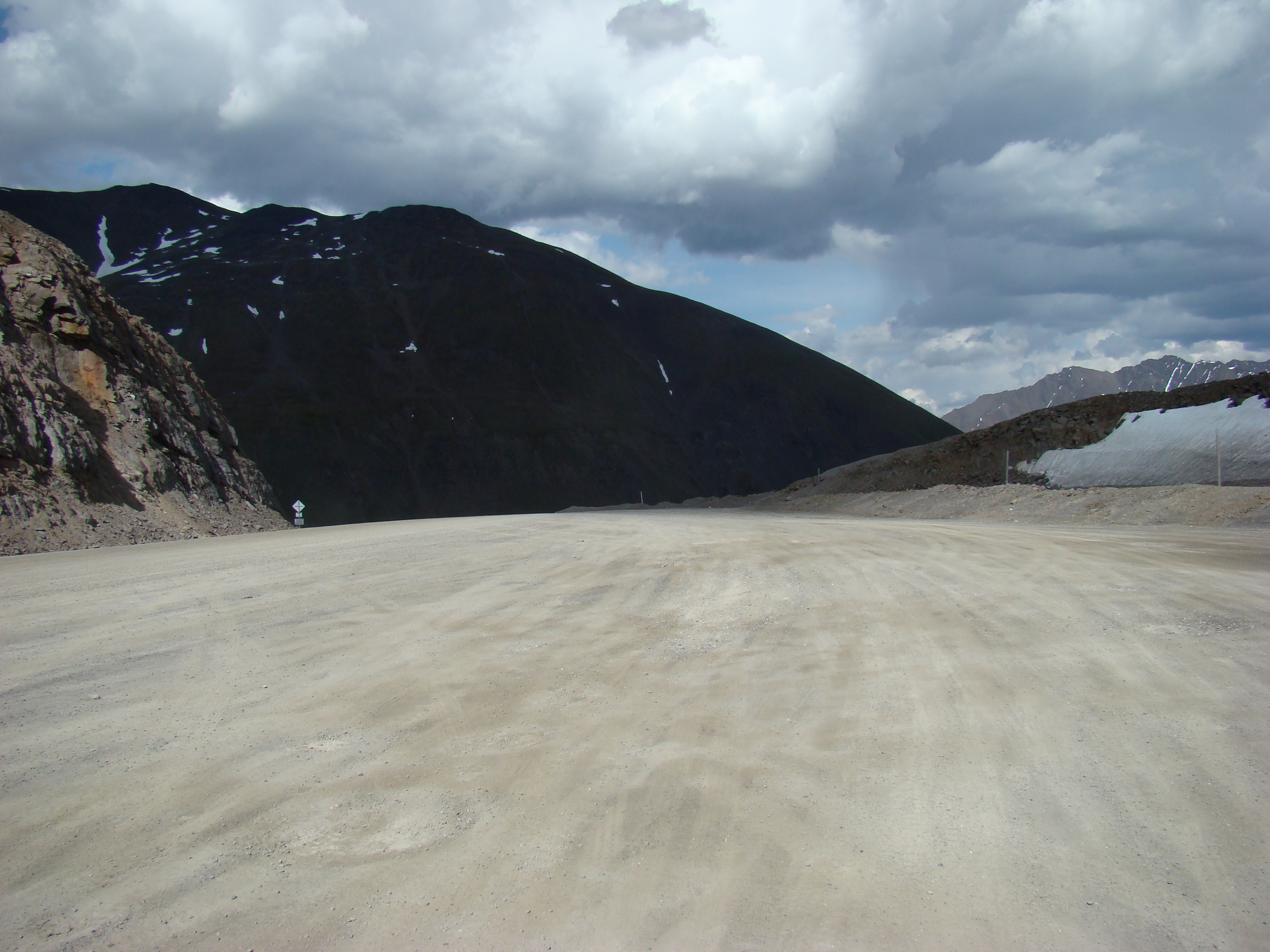
At Atigun Pass.
At Atigun Pass.
At Atigun Pass, an avalanche zone most of the year.
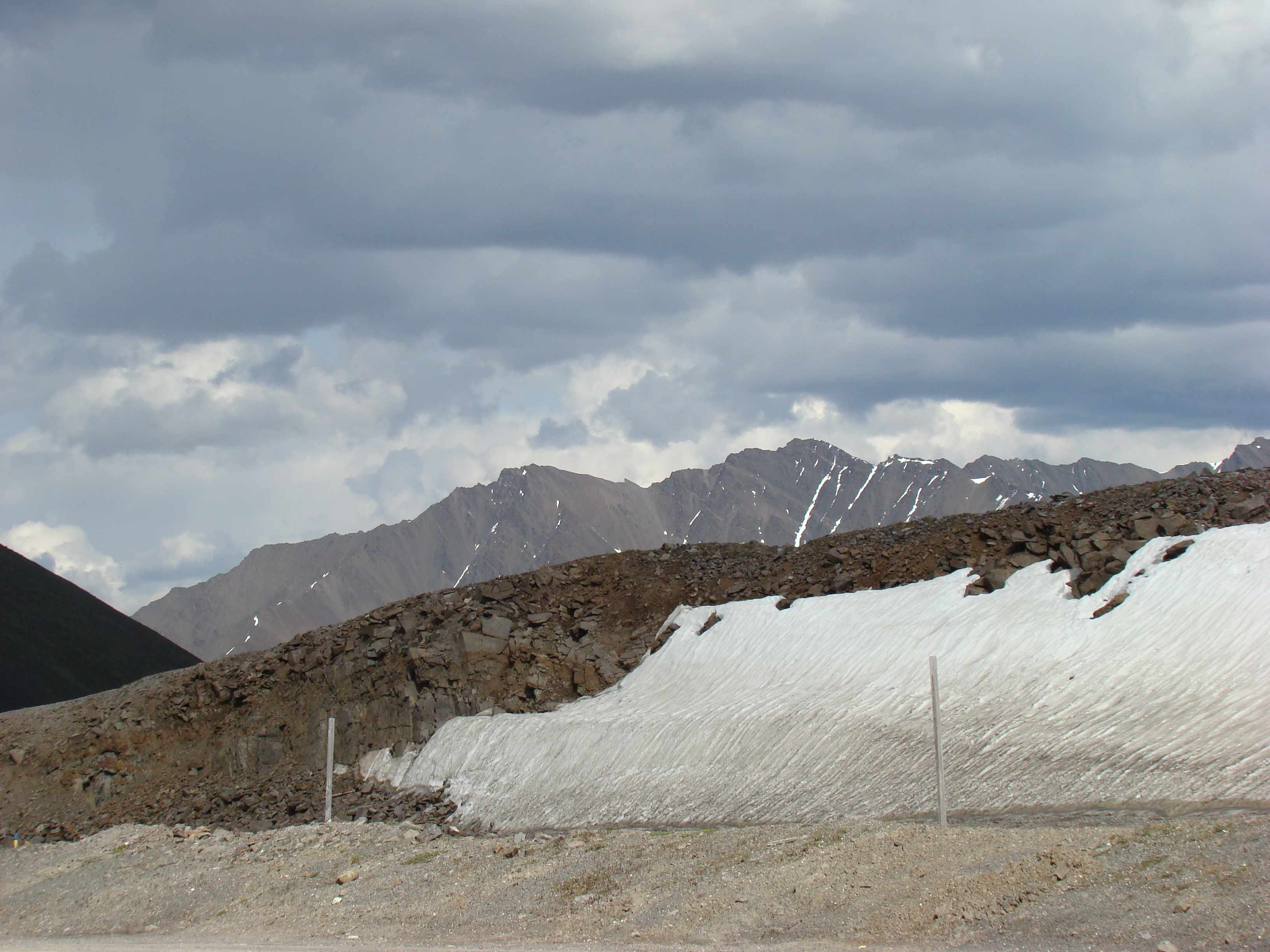
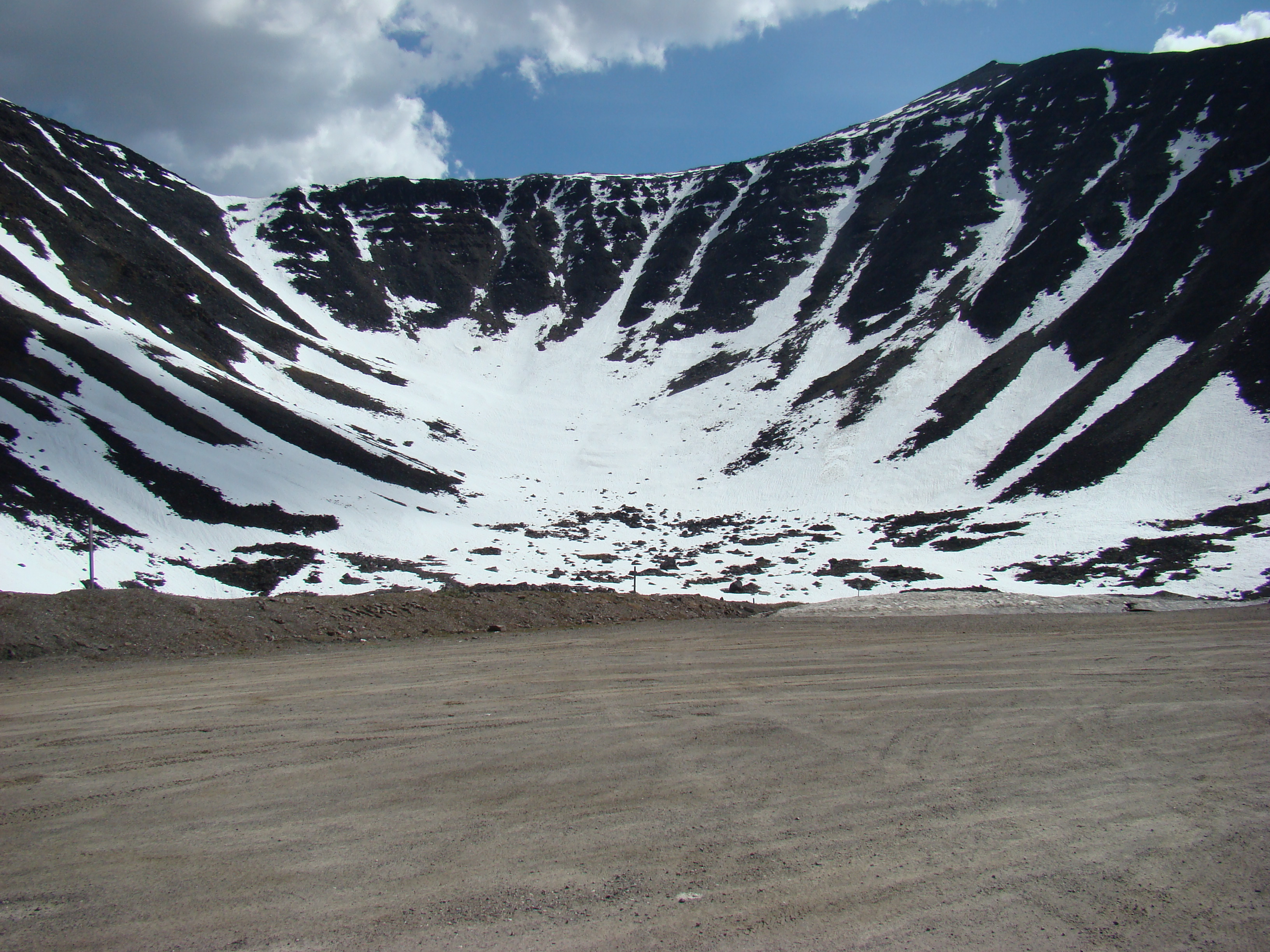
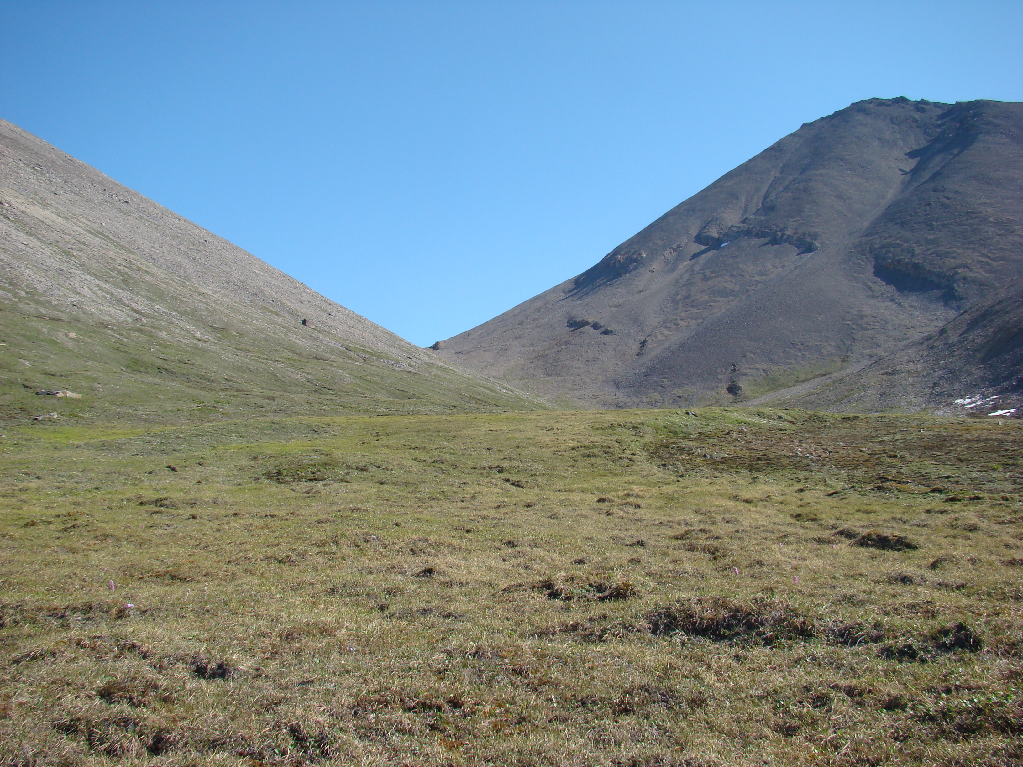
Nice bowl to the east of Atigun Pass.
This is about 15 km north of Atigun Pass. I tried my hike
here, but the terrain was too damp and nearly impassable.
This was Tuesday evening.
Same spot as above, looking to the south on the Dalton.
Same location as the above shot.
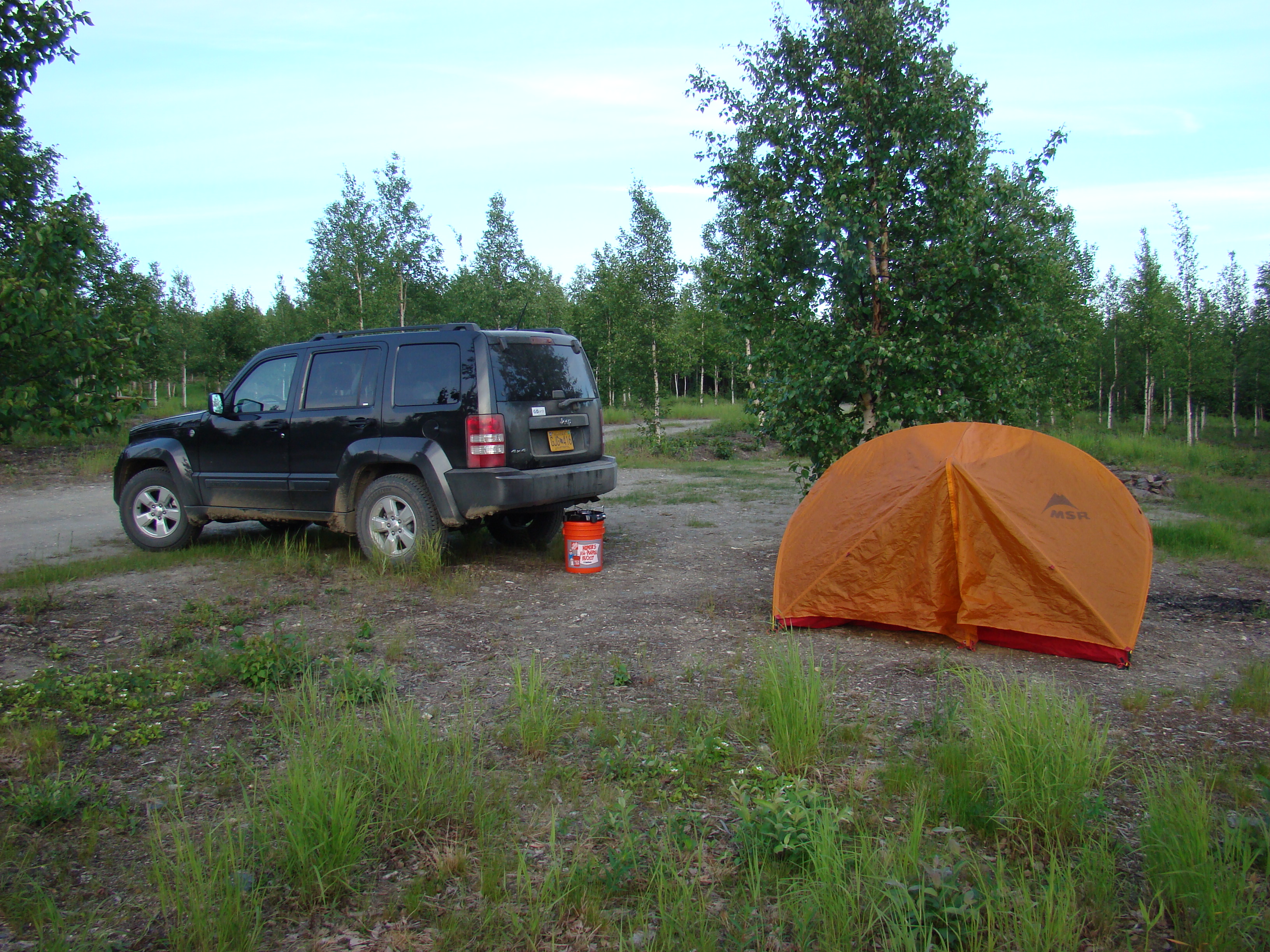
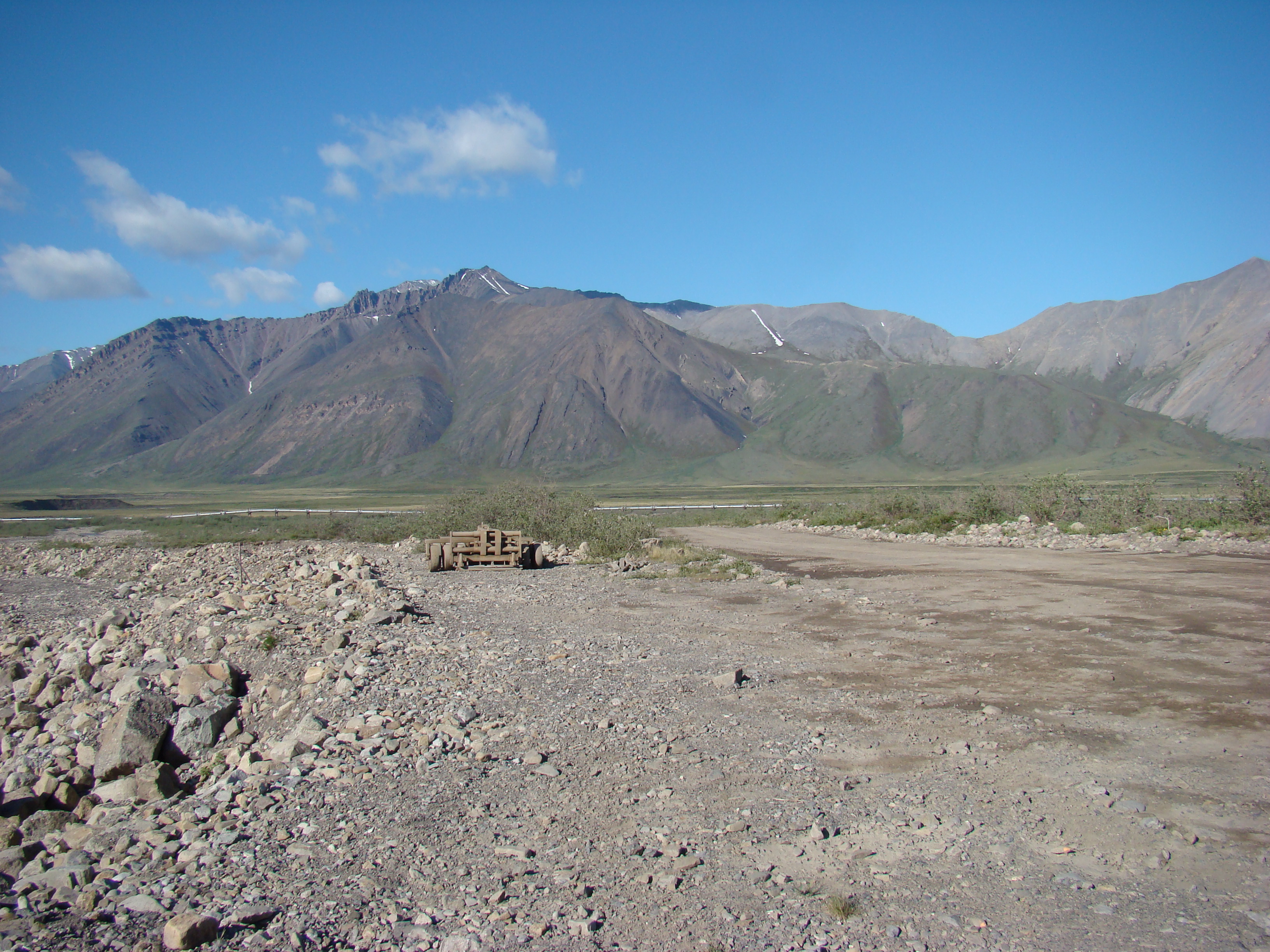
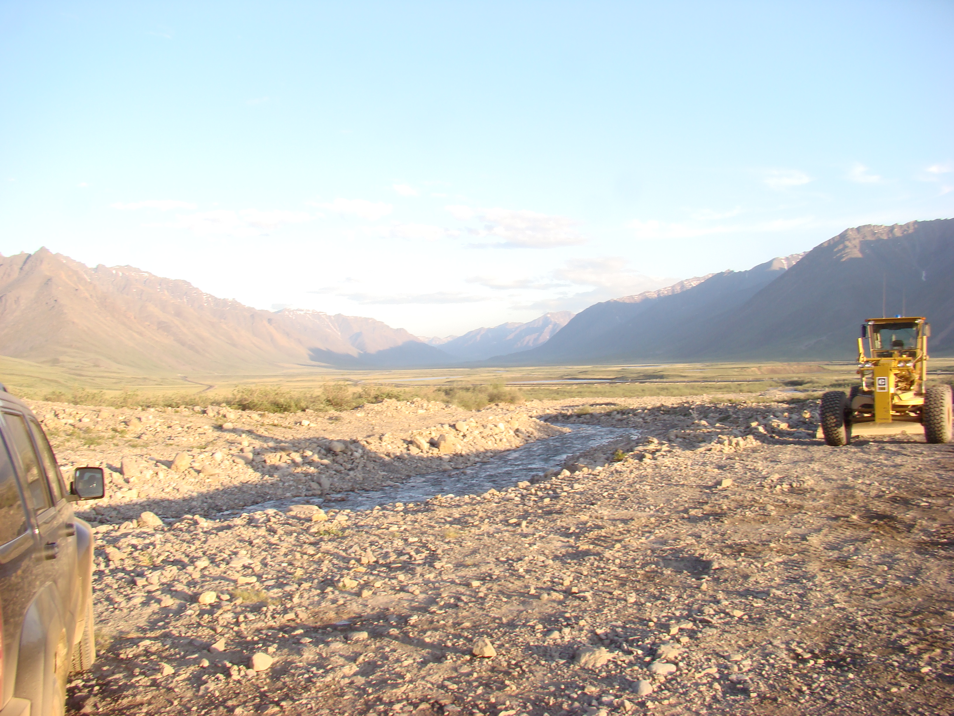
Camped here Tuesday through Saturday night. More shots
follow. The creek was nameless.
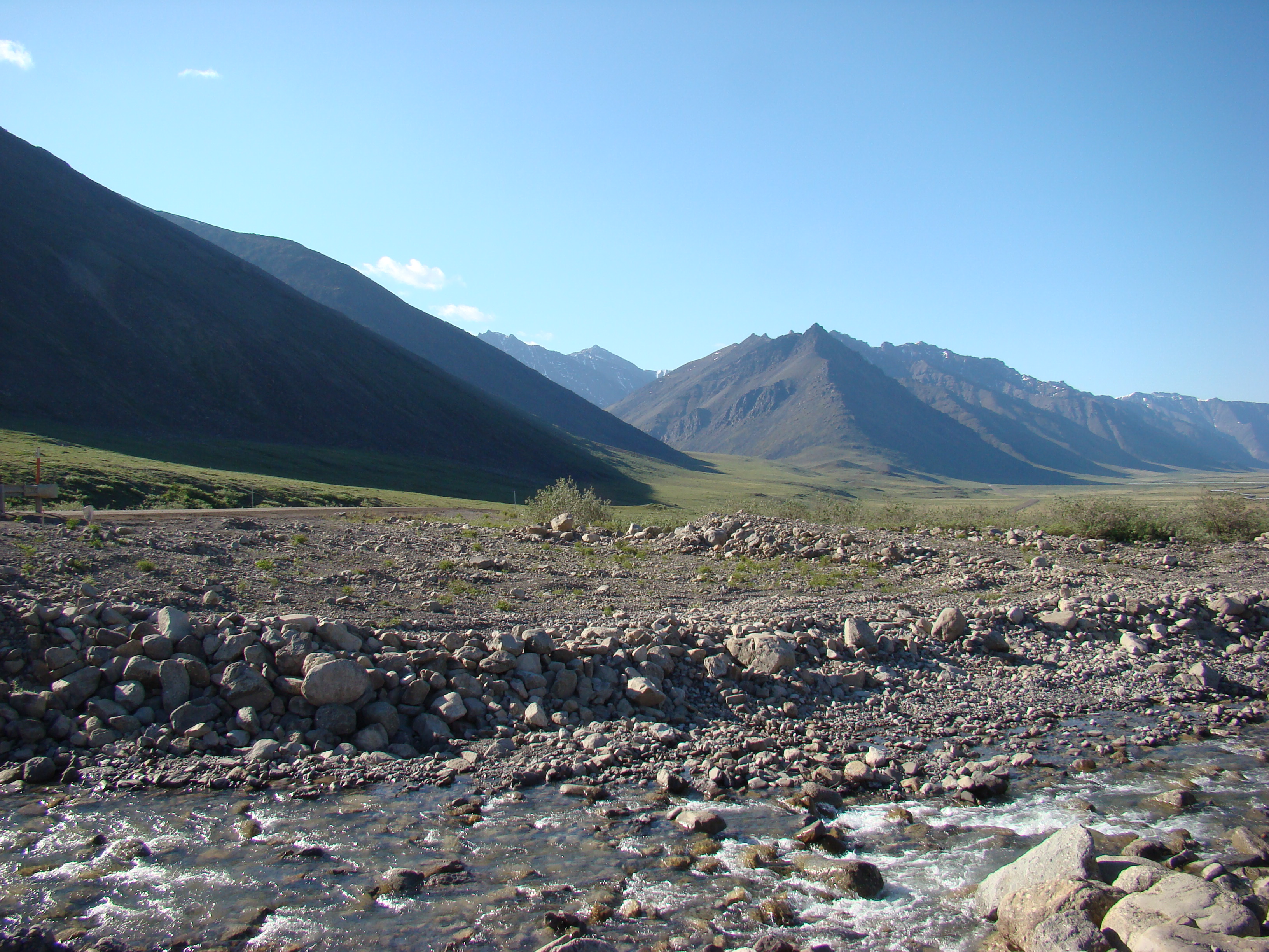
The Atigun River is just to the west. This is a parking lot for
the State of Alaska road crew.
Still the same spot. By the way, it is about 10 pm!
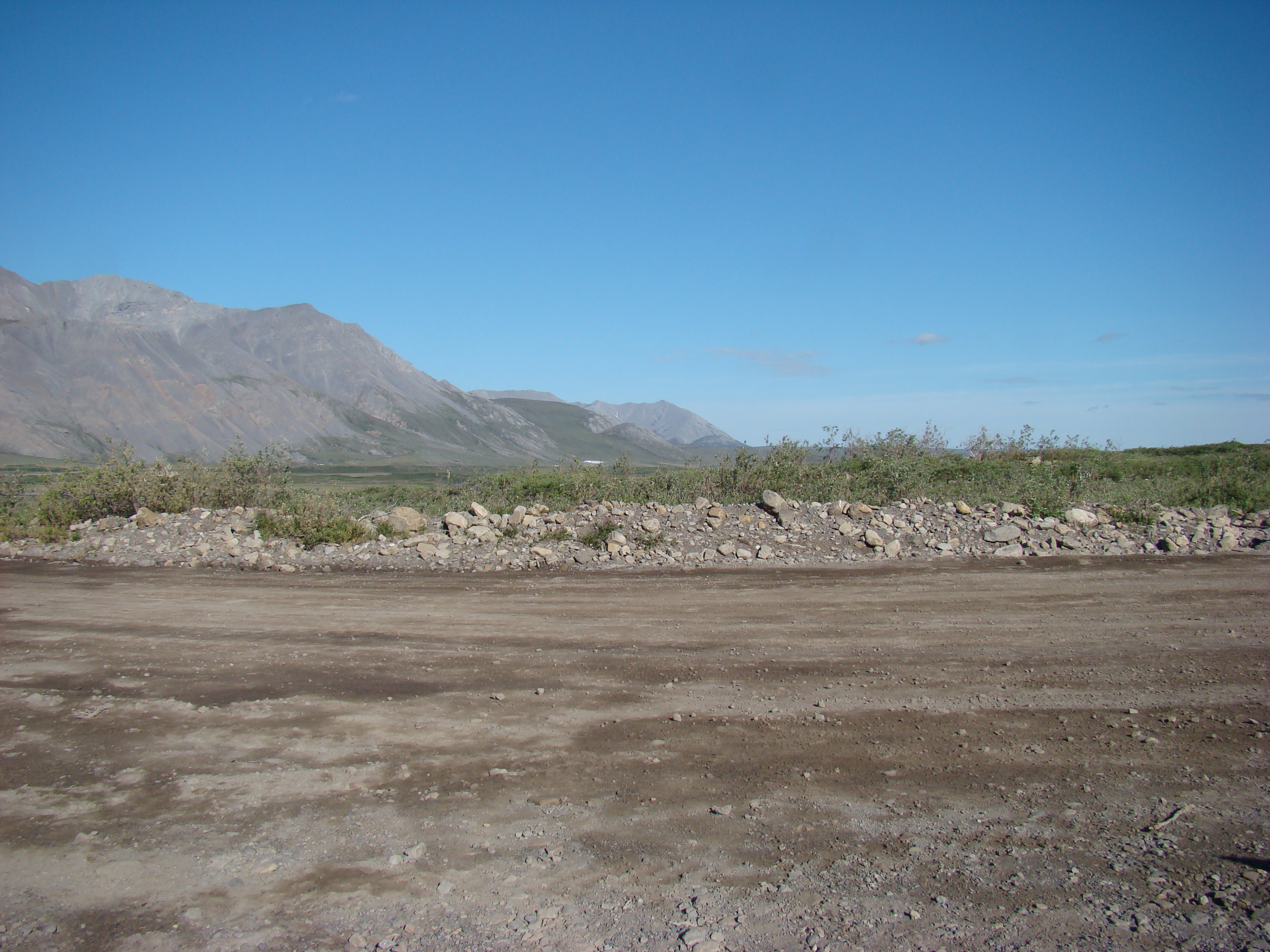
Same creek.
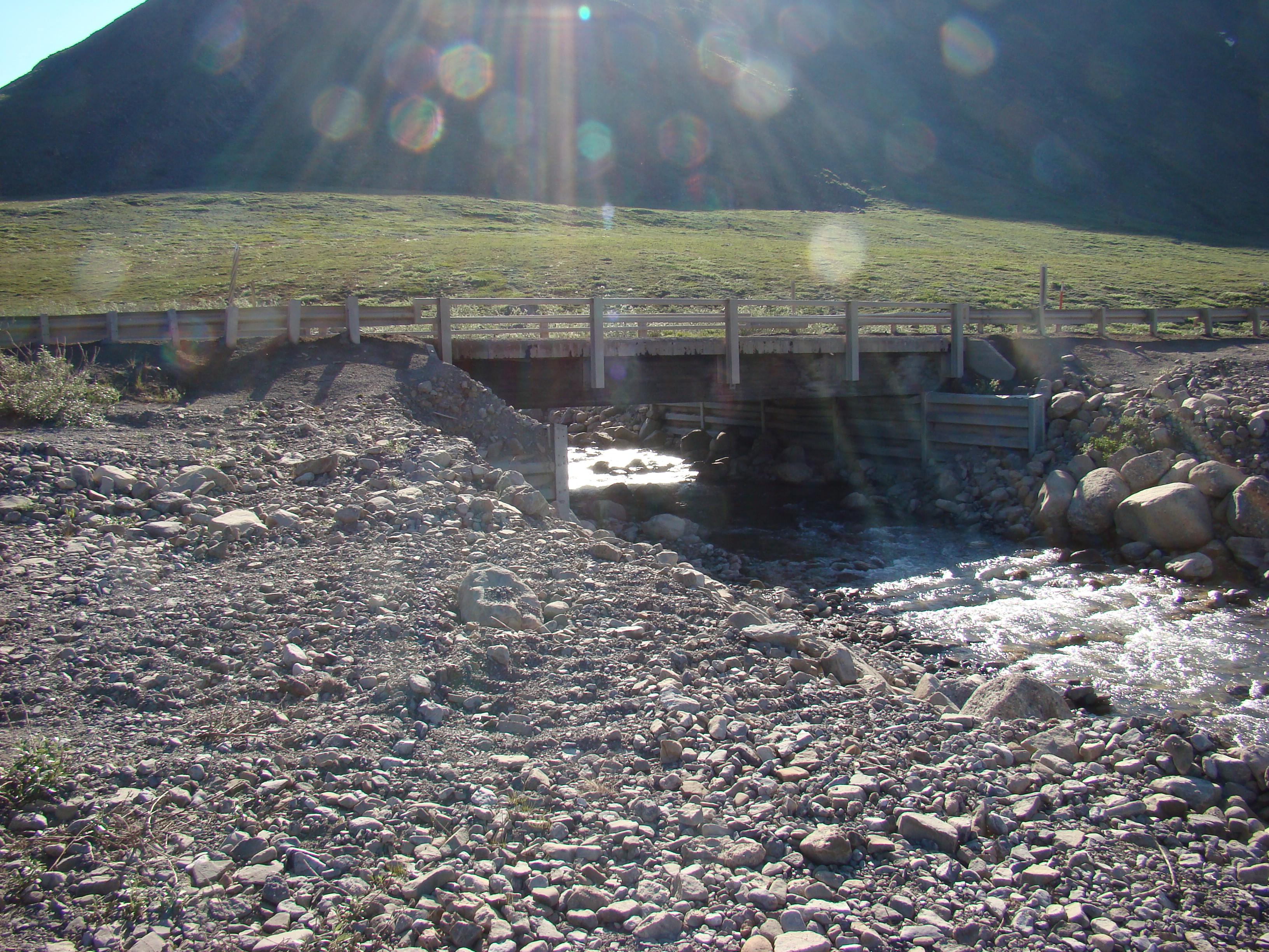
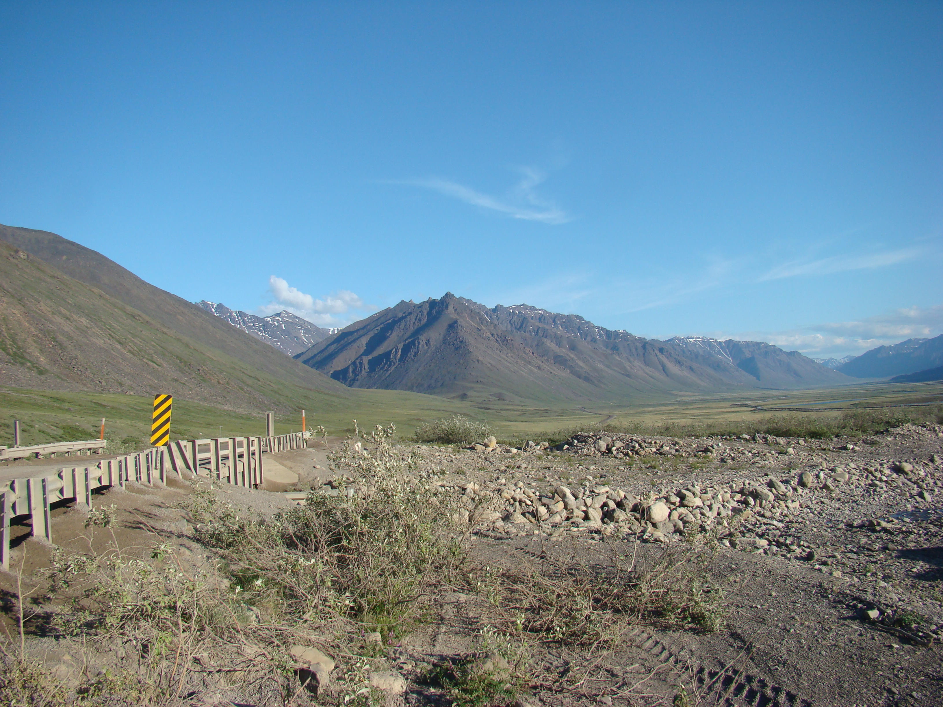
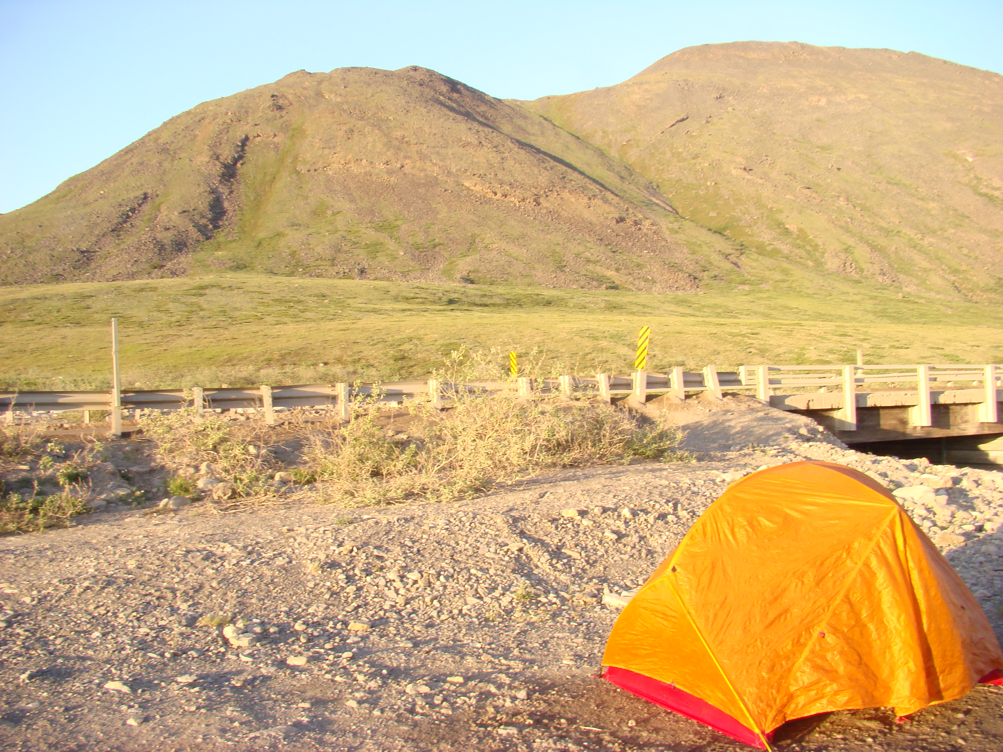
The bridge over the creek for the Dalton Highway.
From my campsite, just below the bridge, looking north.
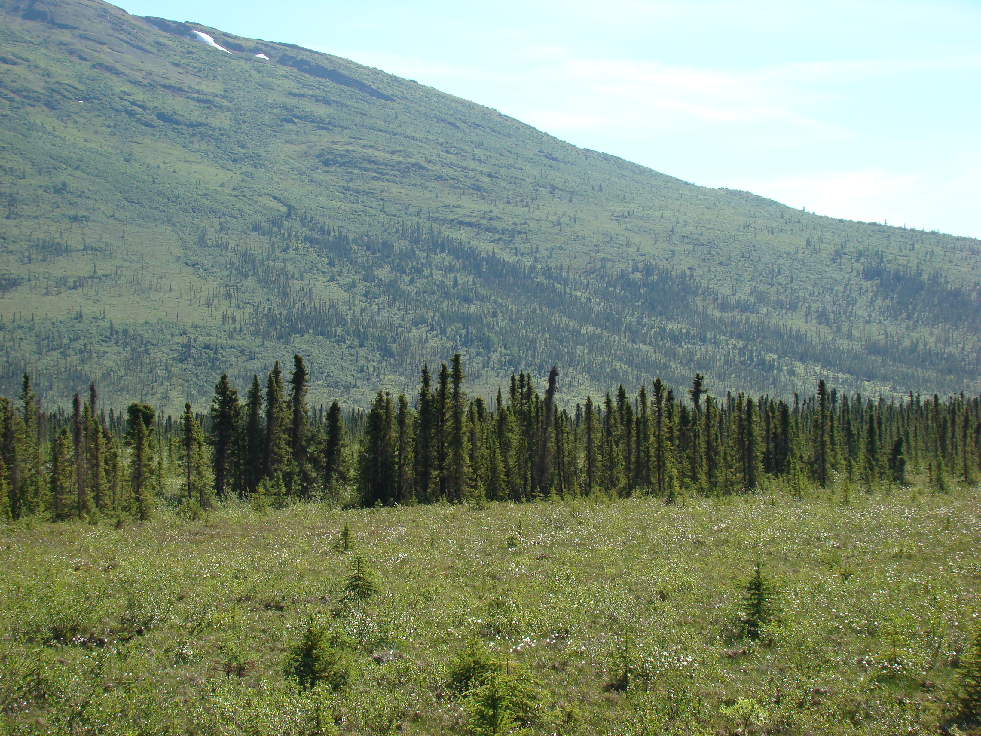
Tuesday morning, looking up the hill. I spent the next two
days collecting here. Lots of good bugs.
These three little hills, about a 45 minute hike from the tent,
yielded P. machaon, the Oeneis alpina, a few B. polaris, and lots of other common leps.
Same hills.
So beautiful when it was clear.
A nearby shot. This is in the Brooks Range, by the way.
Another view from the road up the slope.
Another view to the north from the campsite.
Again, these were shot around 10 pm.
To the west.
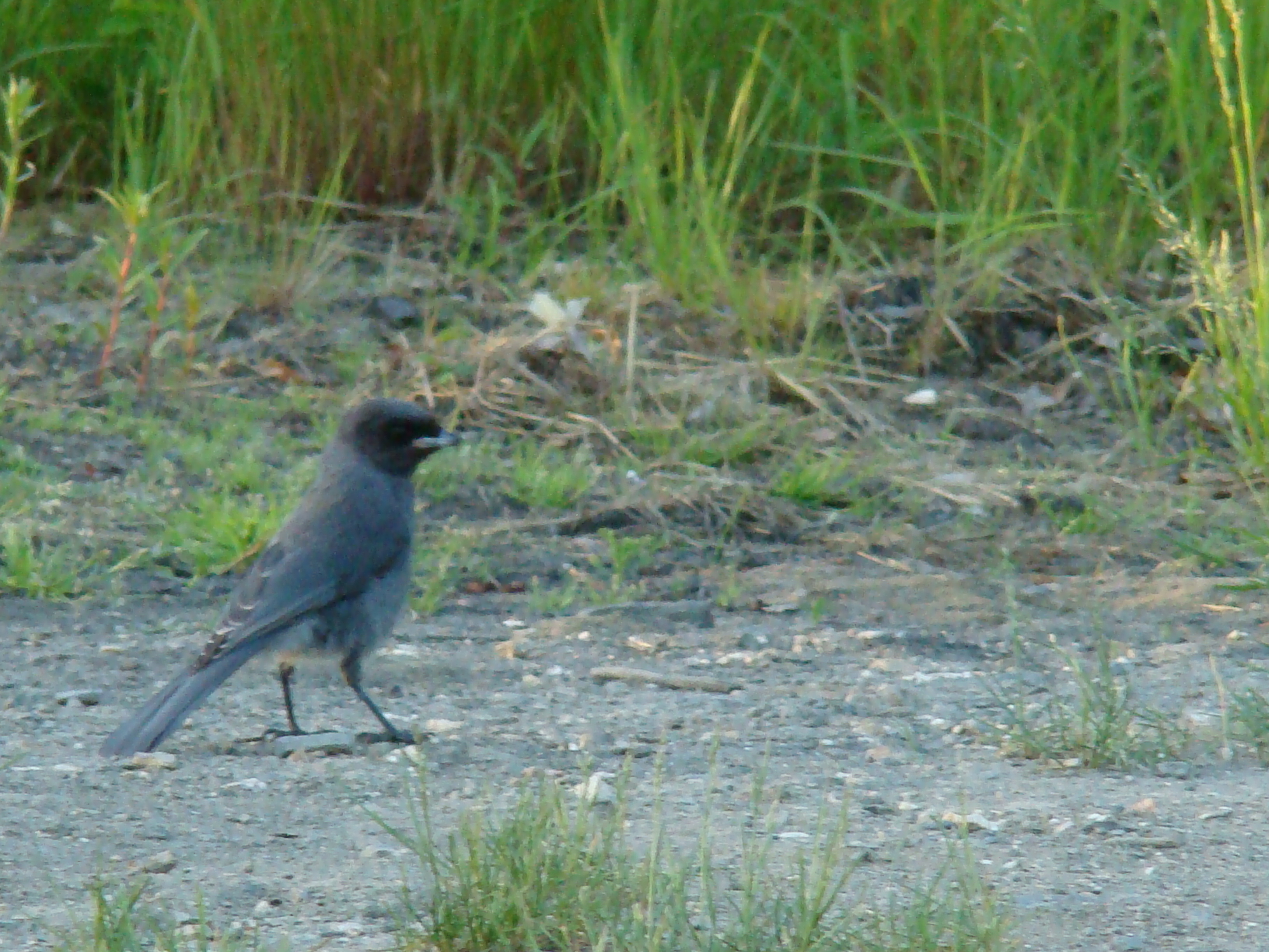
Wednesday morning intruder.
My gear. The three little hills are to the right. This is looking
back to the Dalton. I was starting my four day backpack
adventure. Never got more than 5 miles from the car, but I
never visited the car on these days, returning Saturday night for
pasta and beer.
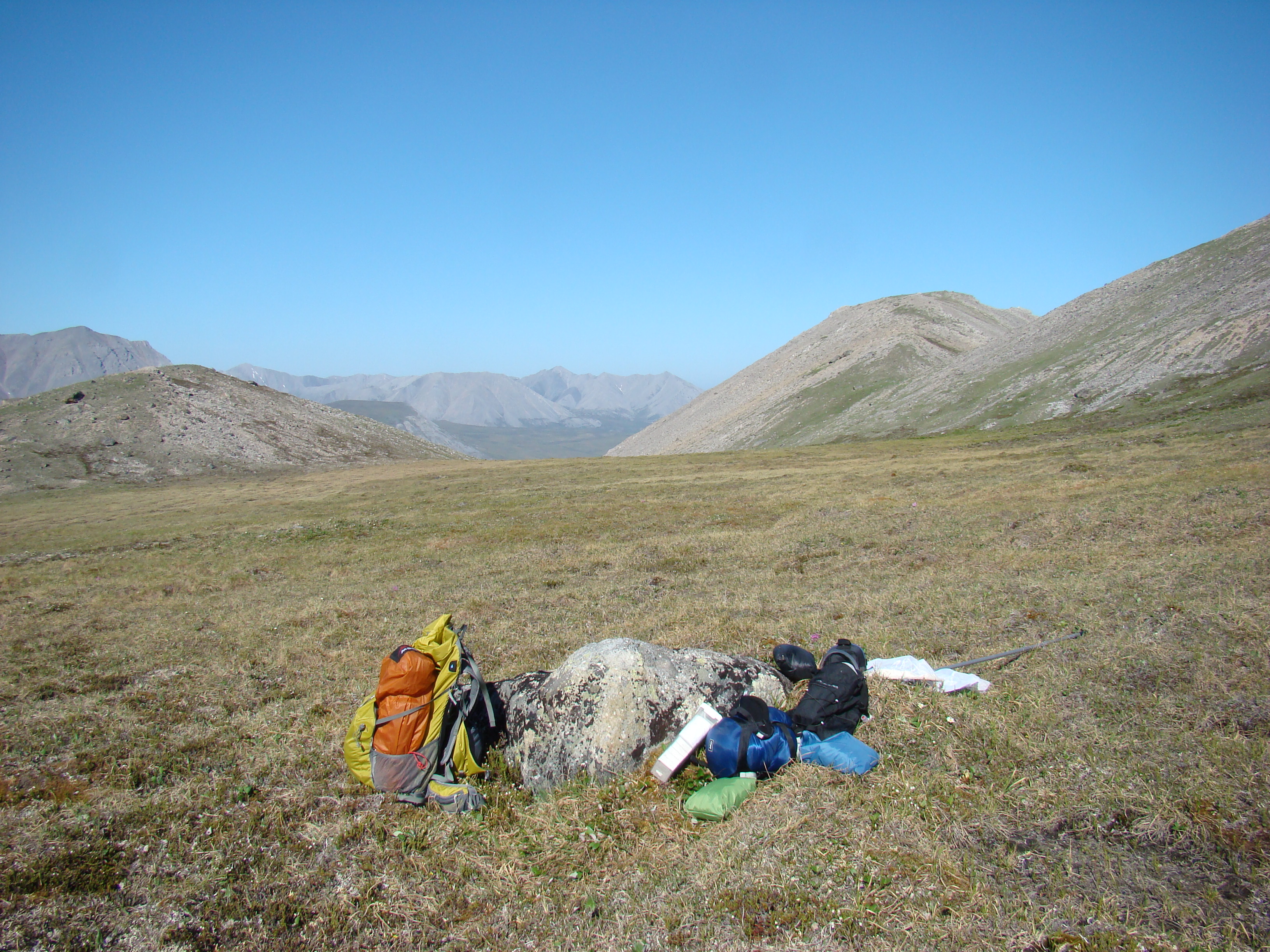
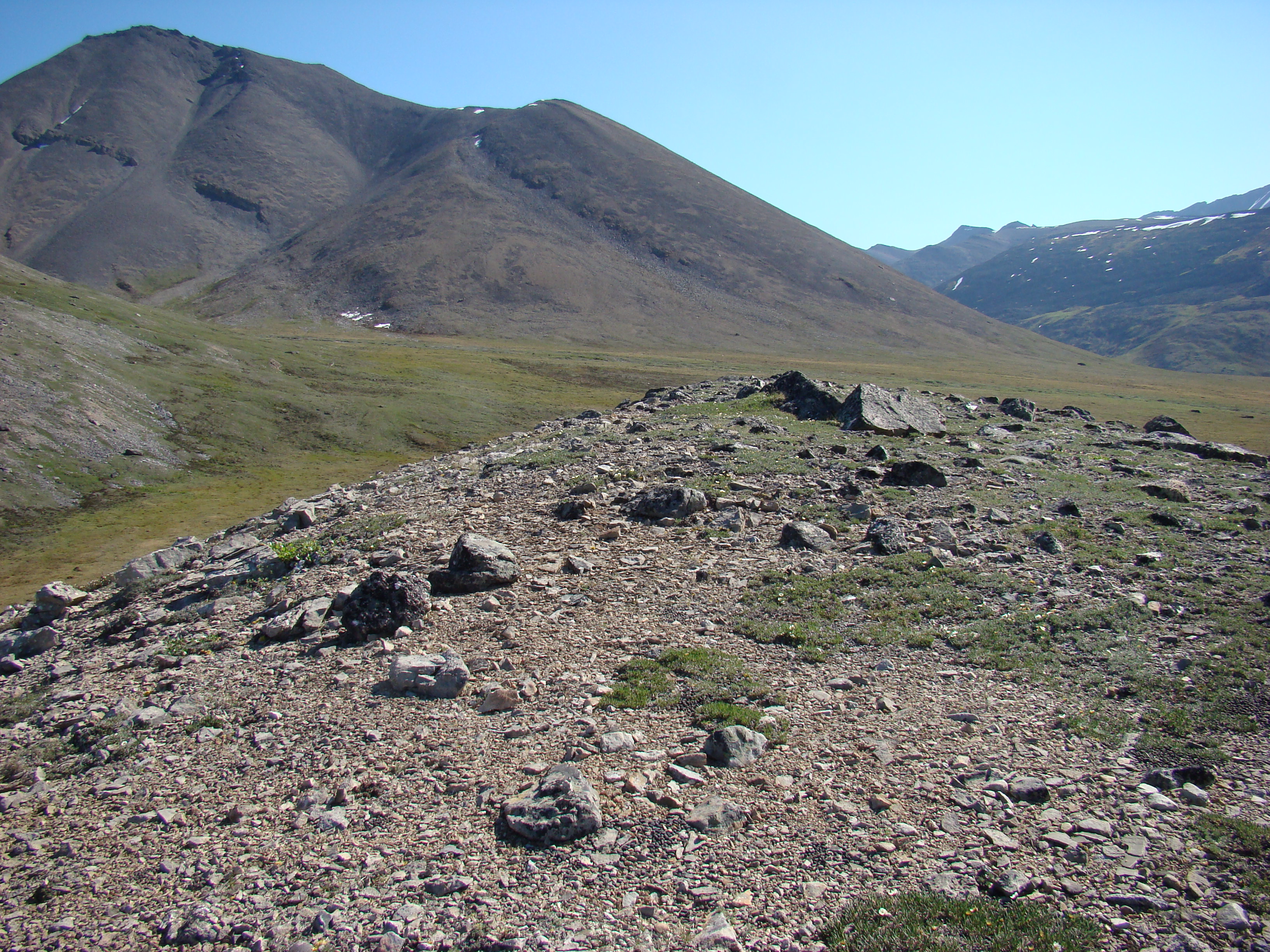
About 1 mile from the Dalton. I will hike over the ridge and
camp, hiking further east (straight back in this shot) the next
three days.
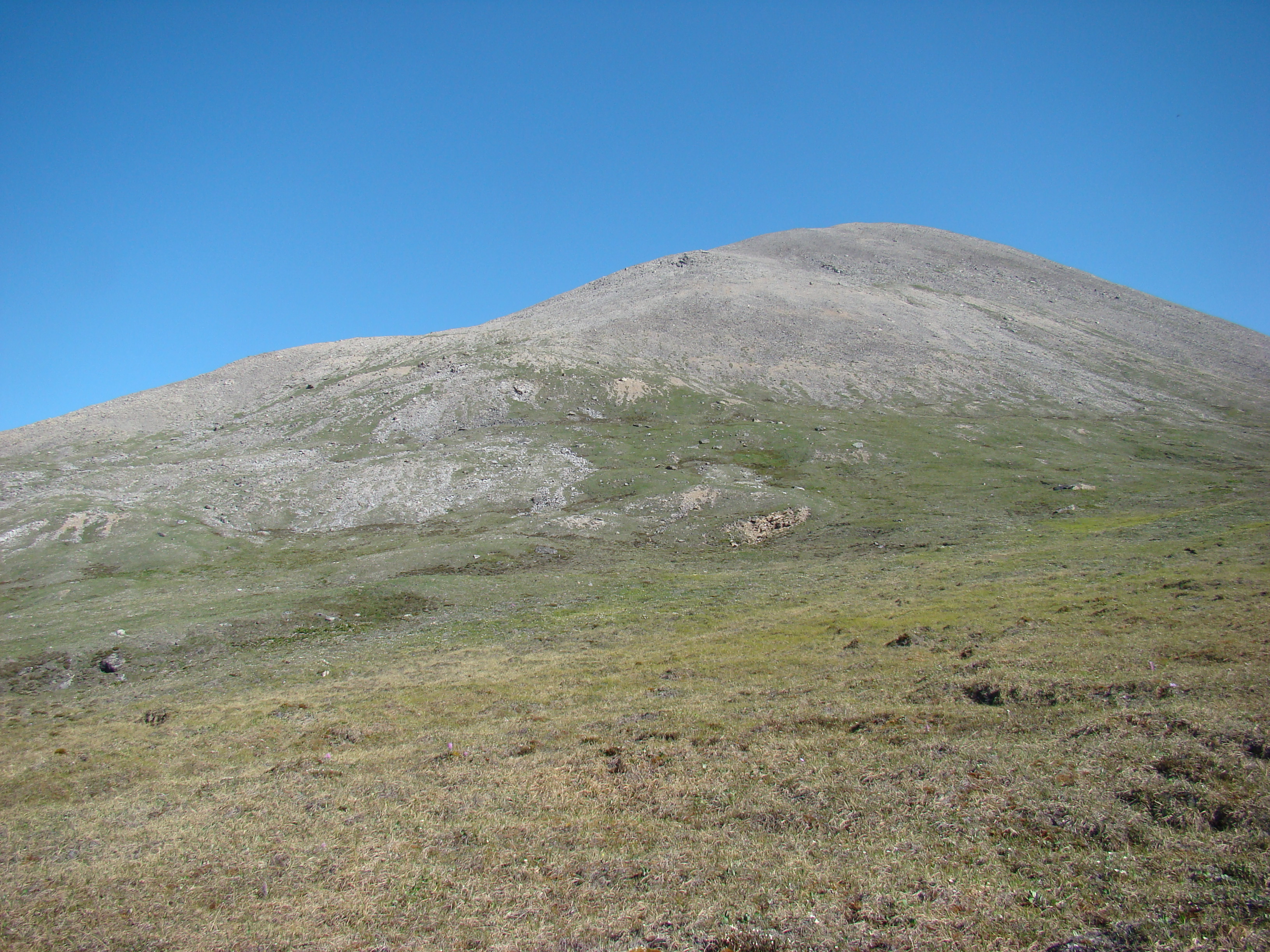
This is the hill closest to the Dalton.
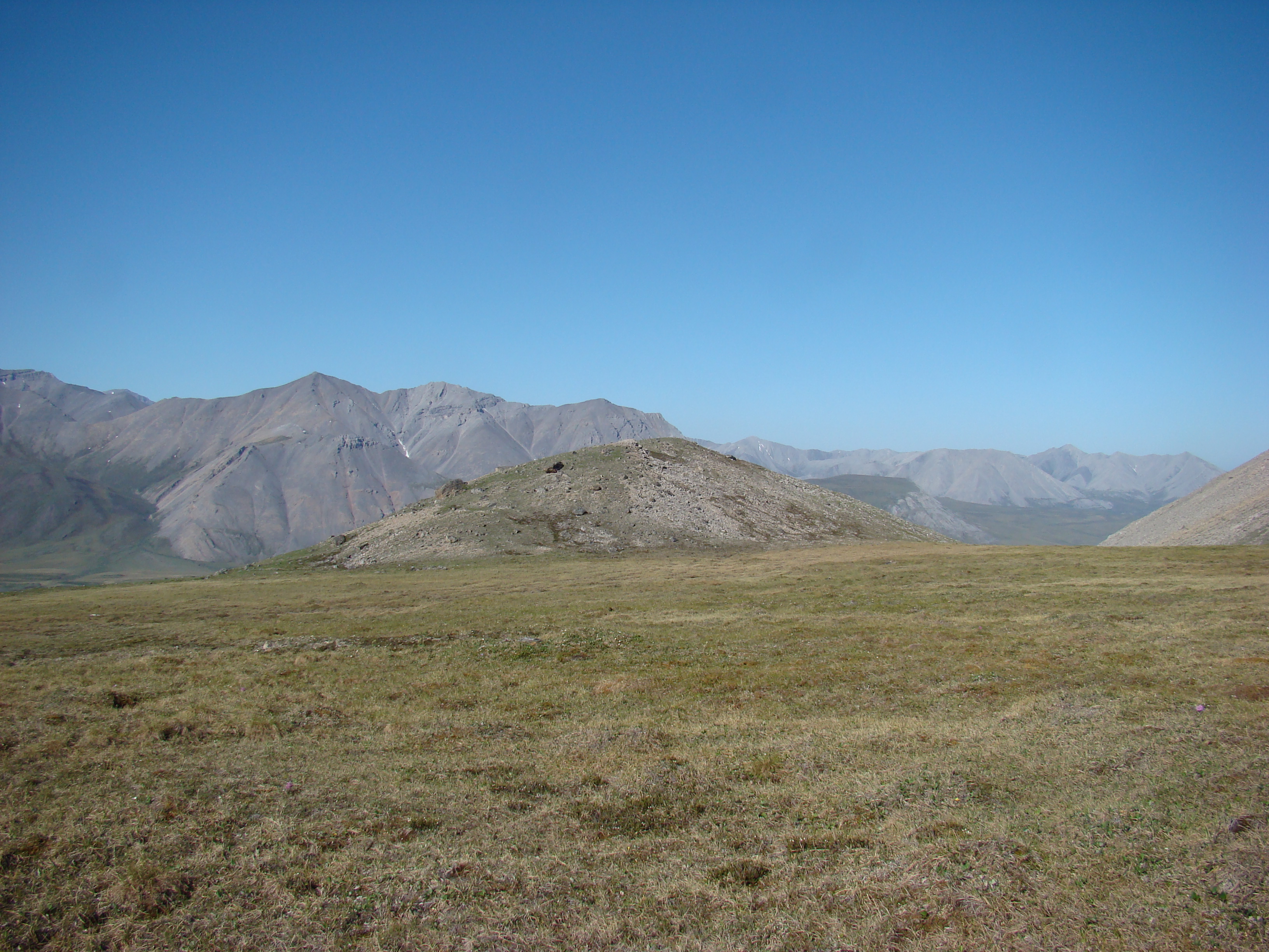
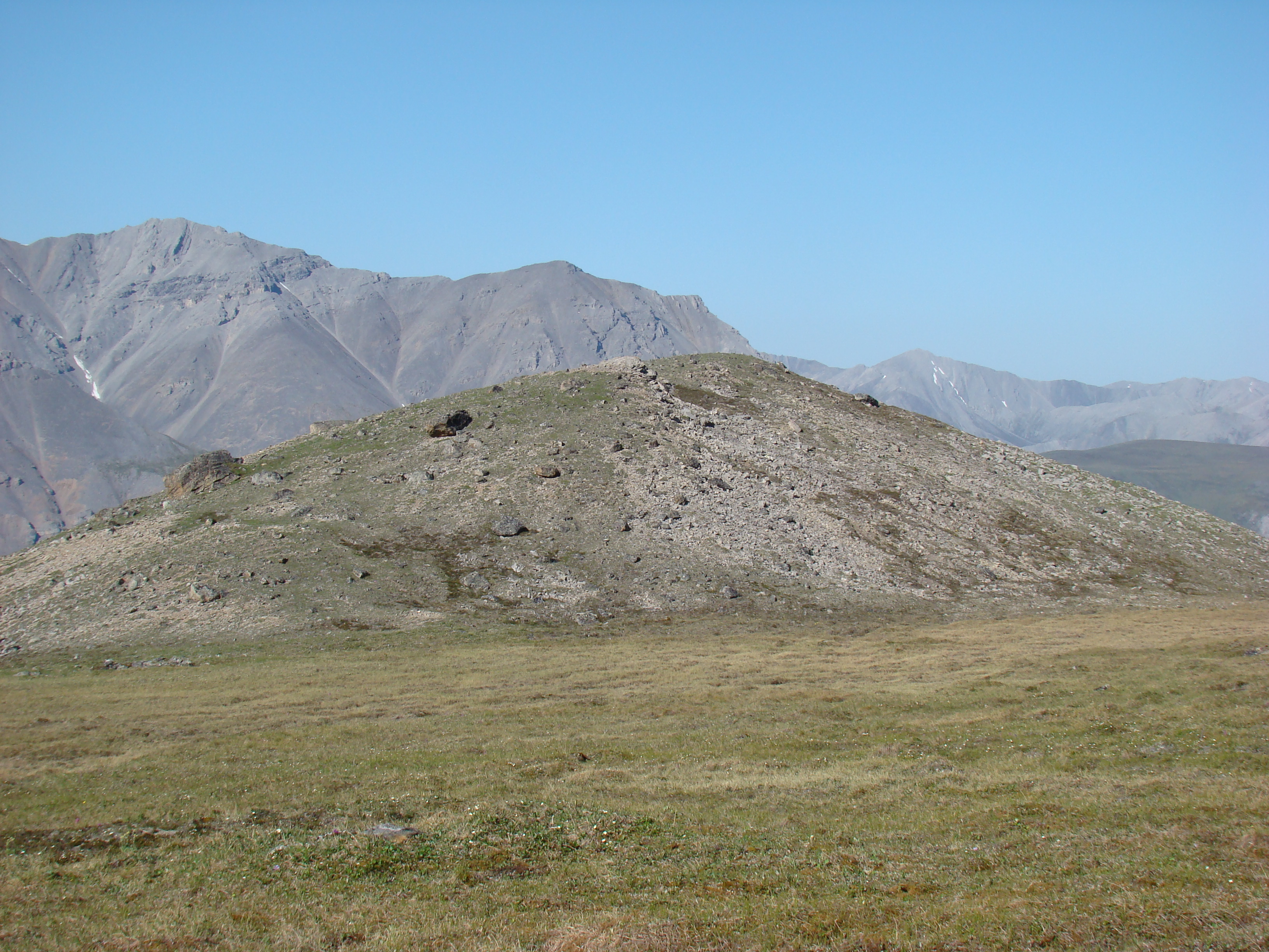
One of the three hills, with the next shots taken atop this hill.
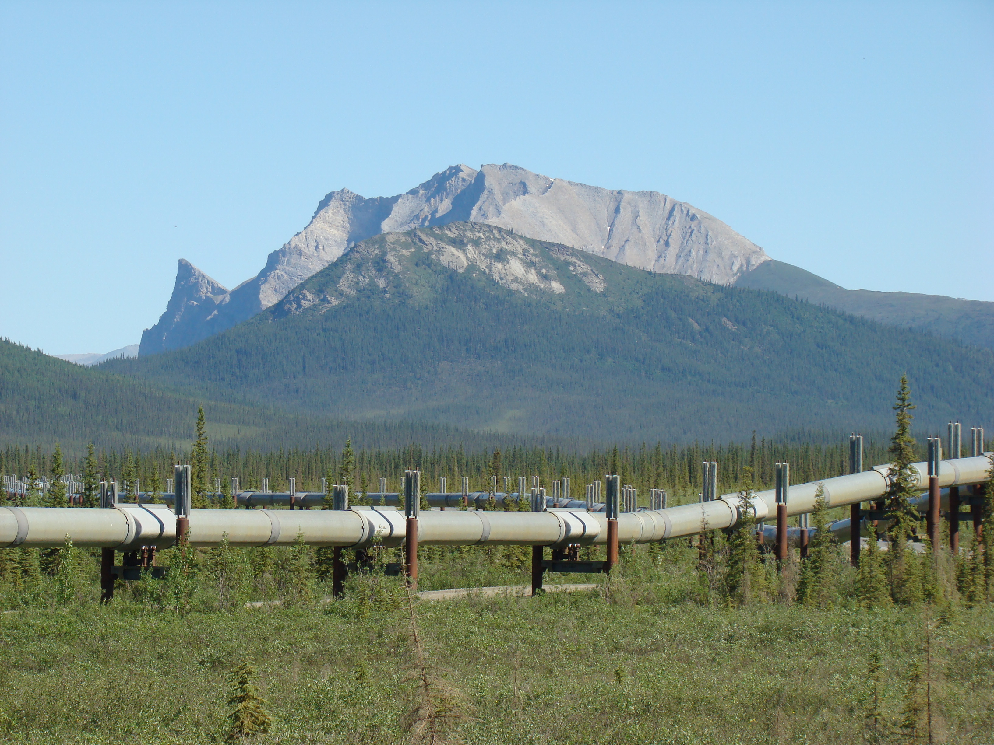
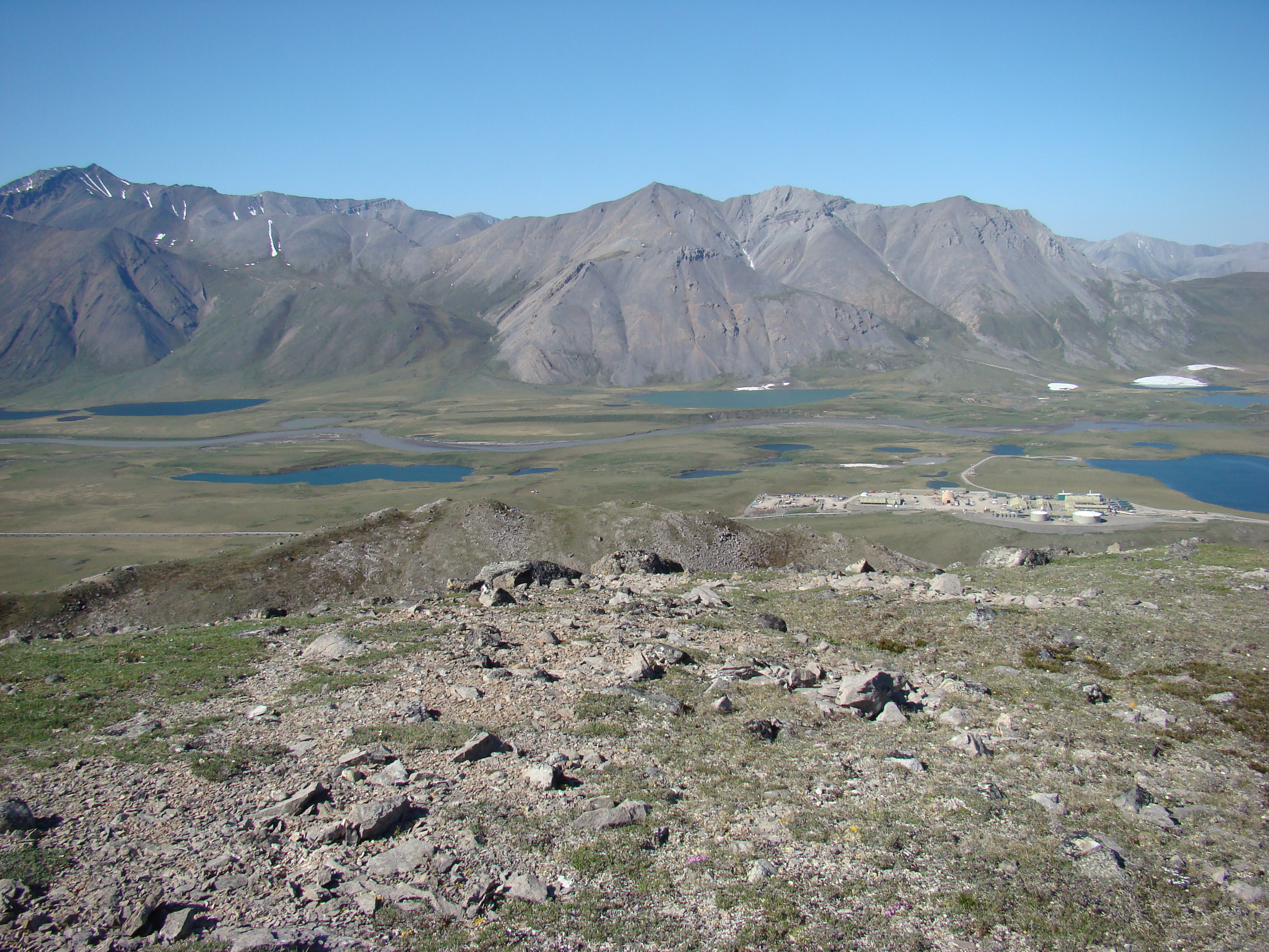
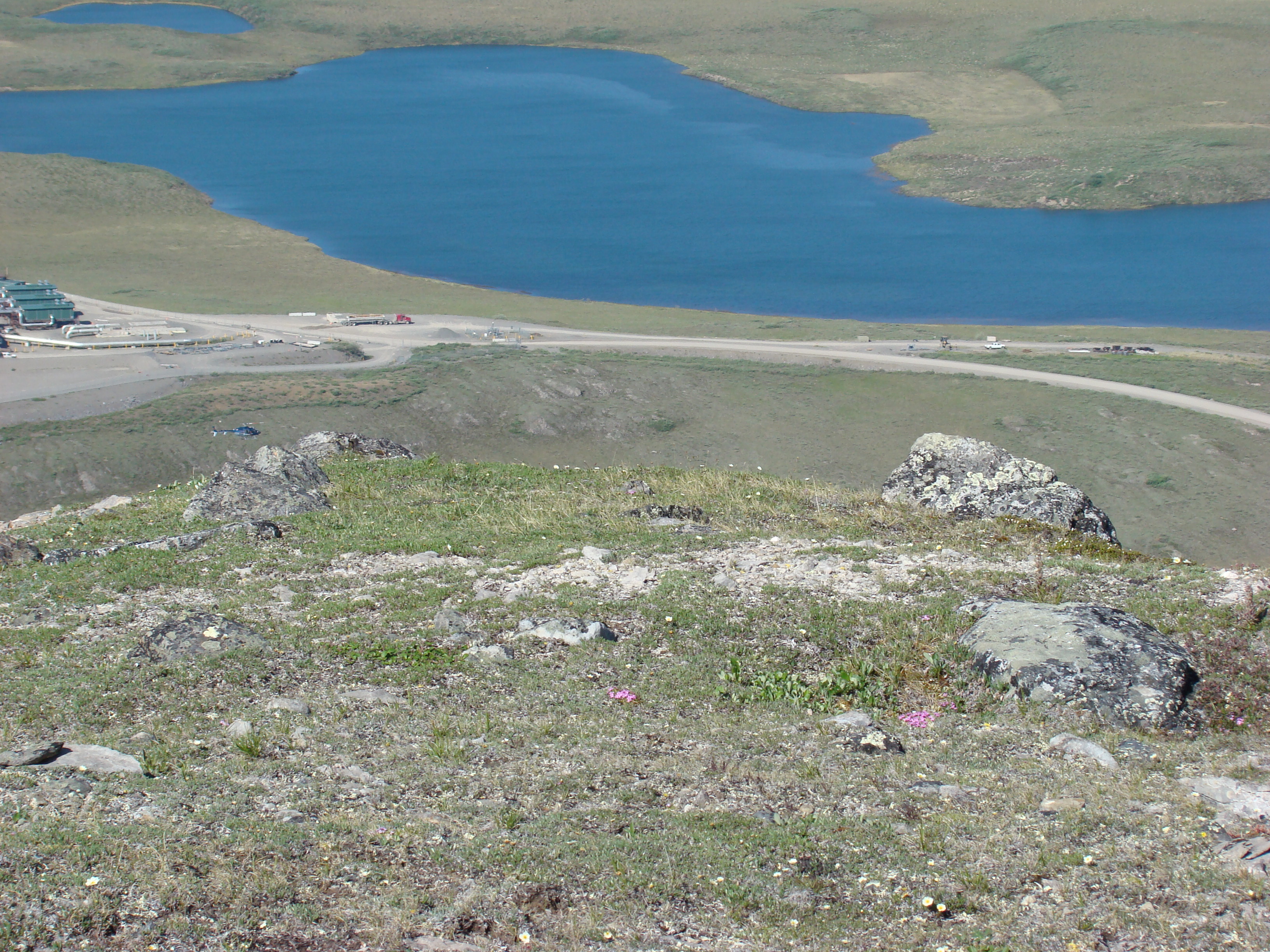
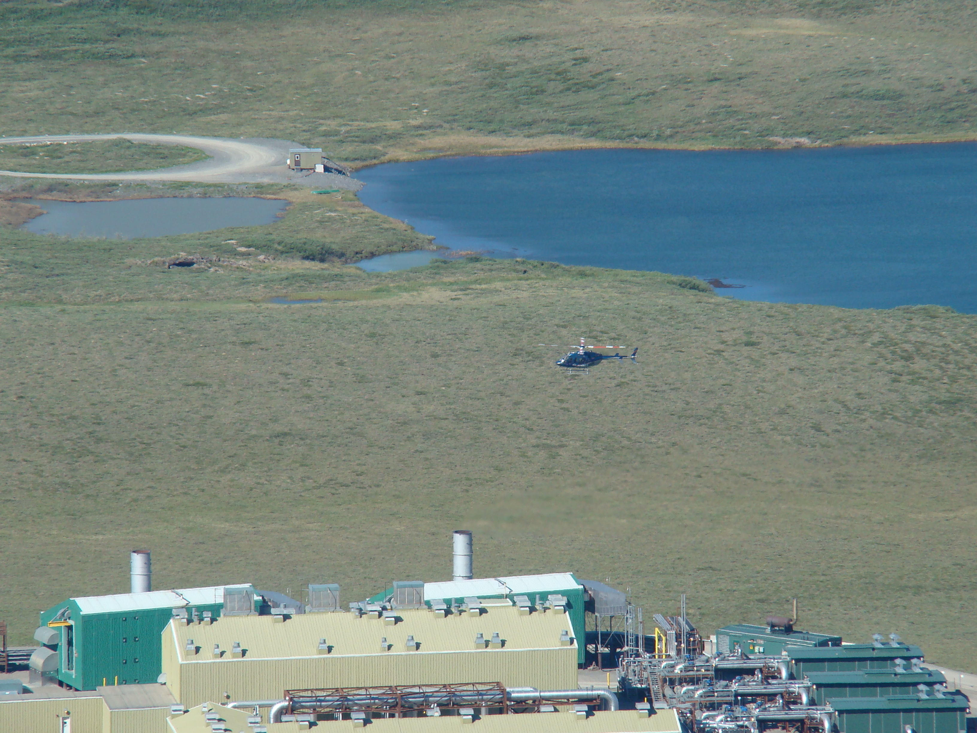
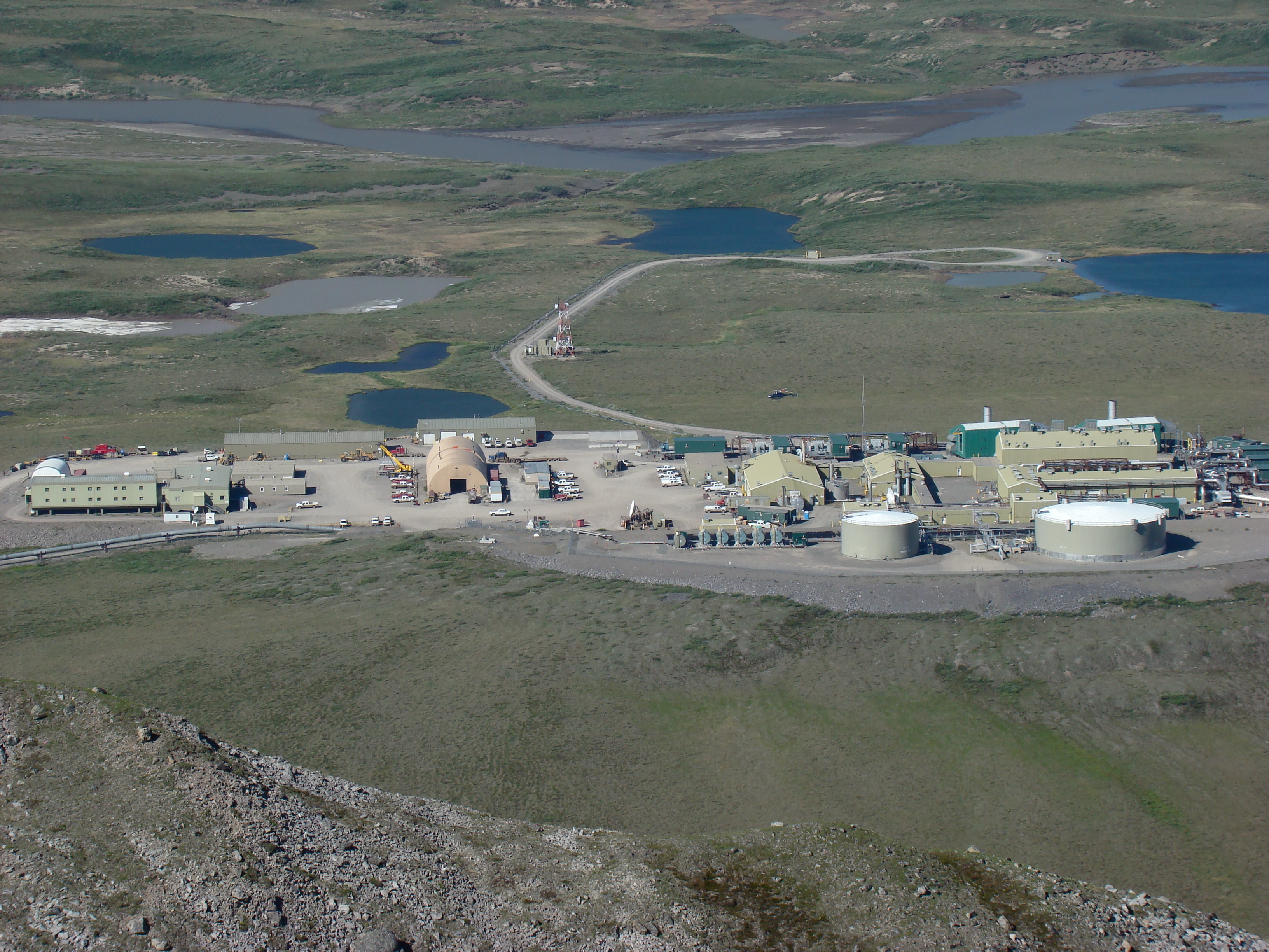
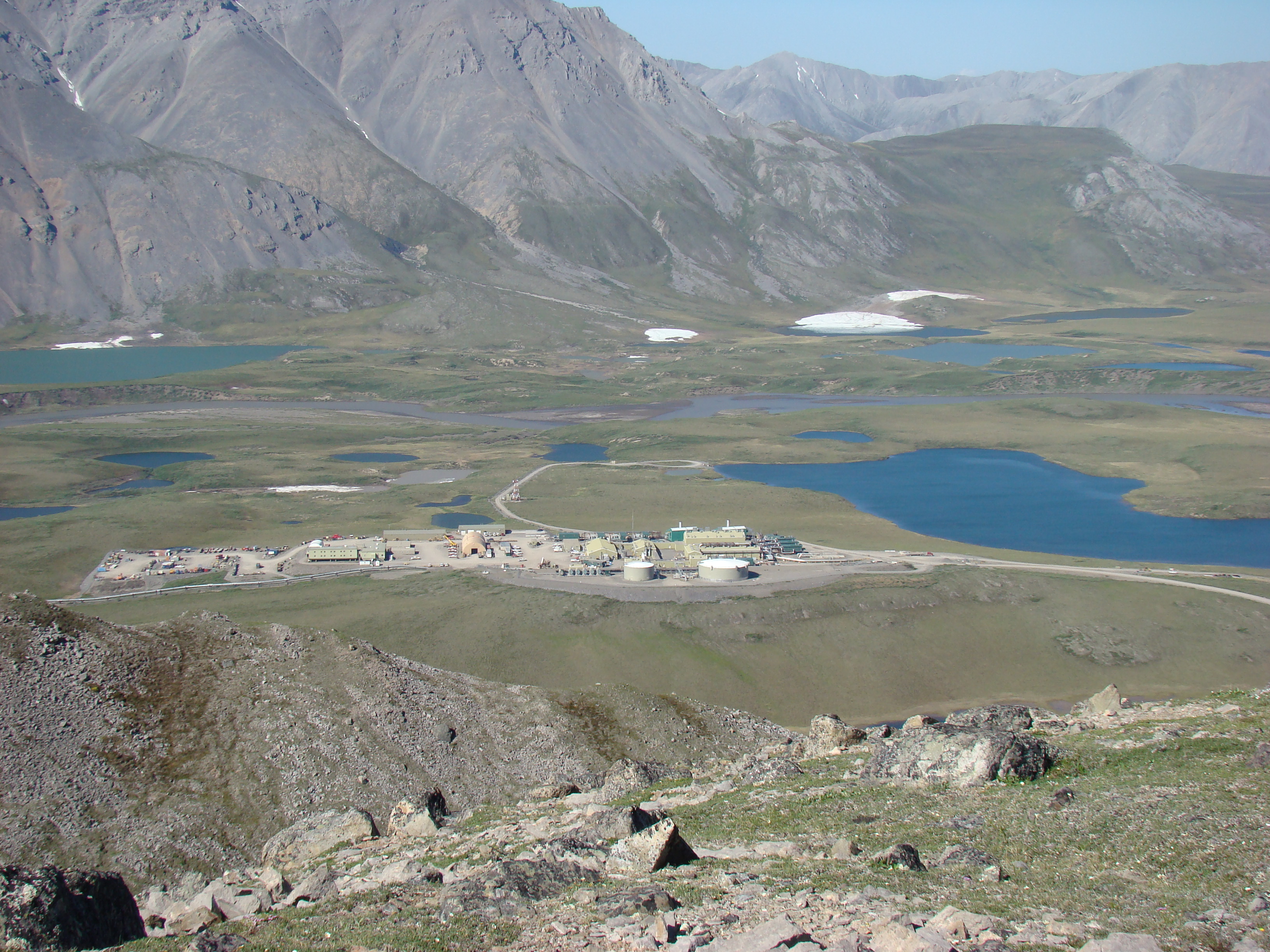
Looking down to Pump Station #4. These stations pump oil
from the Arctic Ocean to the south.
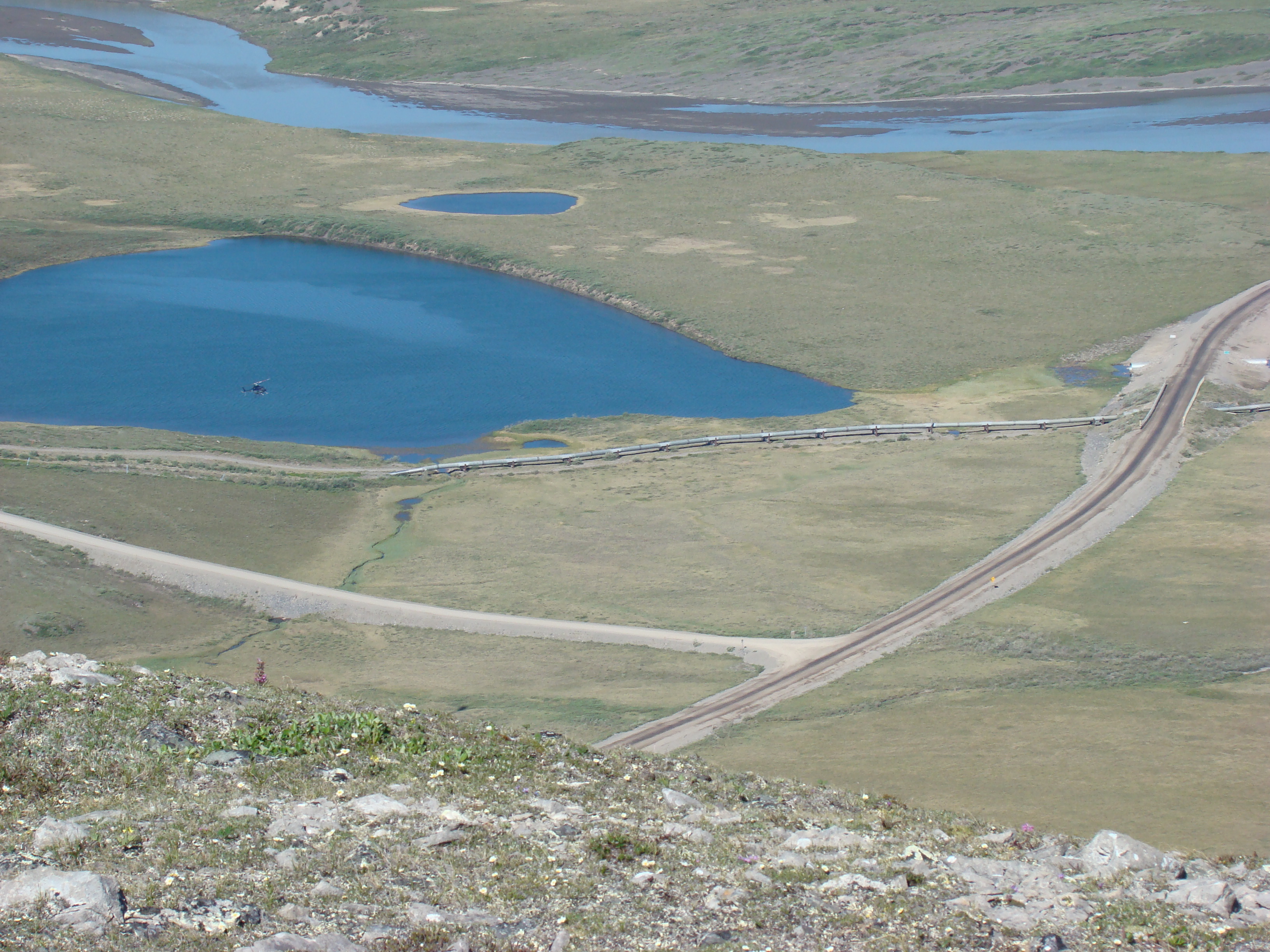
Just to the north of the pumping station. This is Tea Lake.
That's the Dalton crossing the pipeline, and the Atigun River in
the back
A helicopter landing at the pump station.
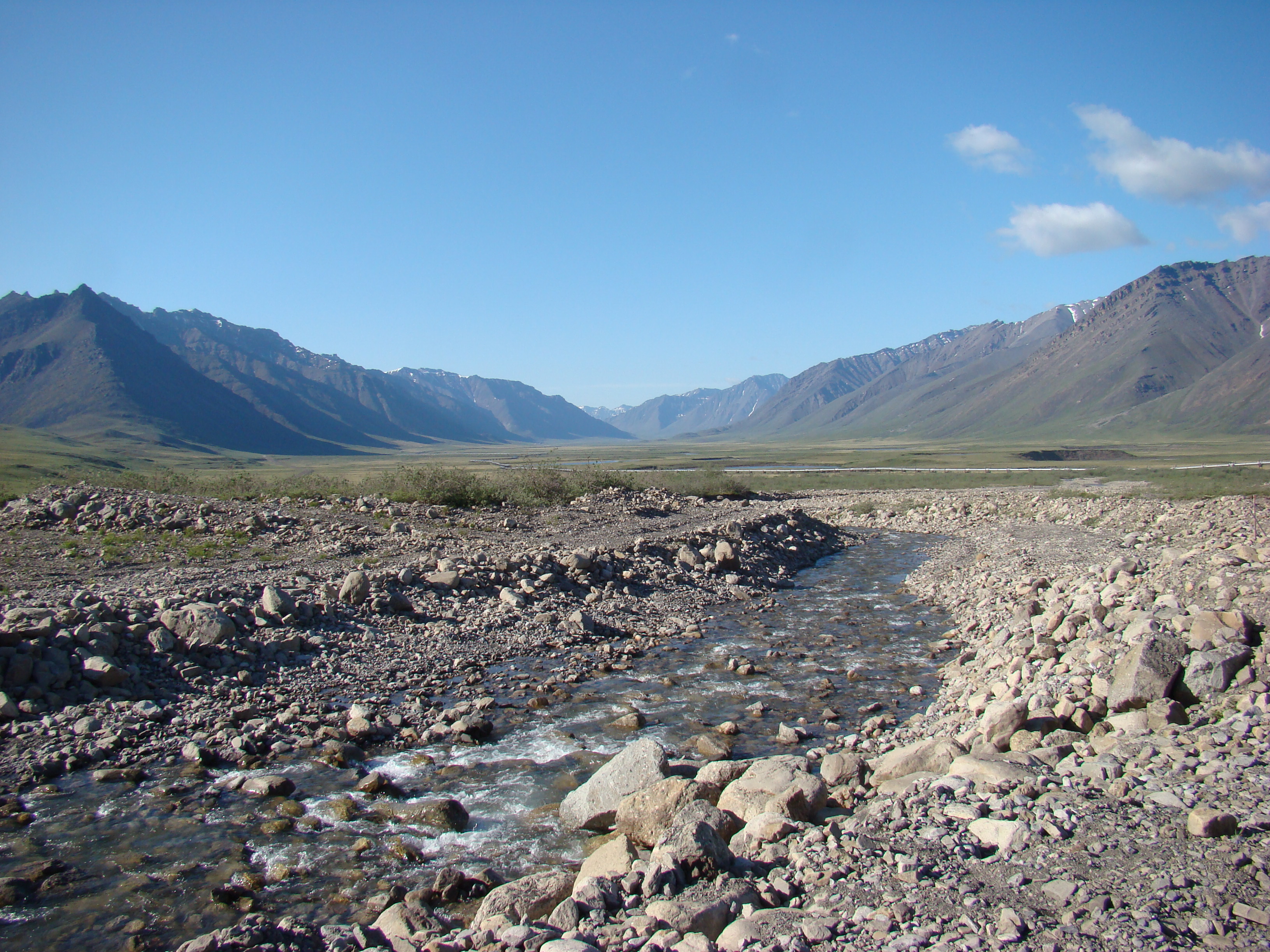
The Dalton runs through a valley at this point.
Looking to the east, atop one of the three hills.
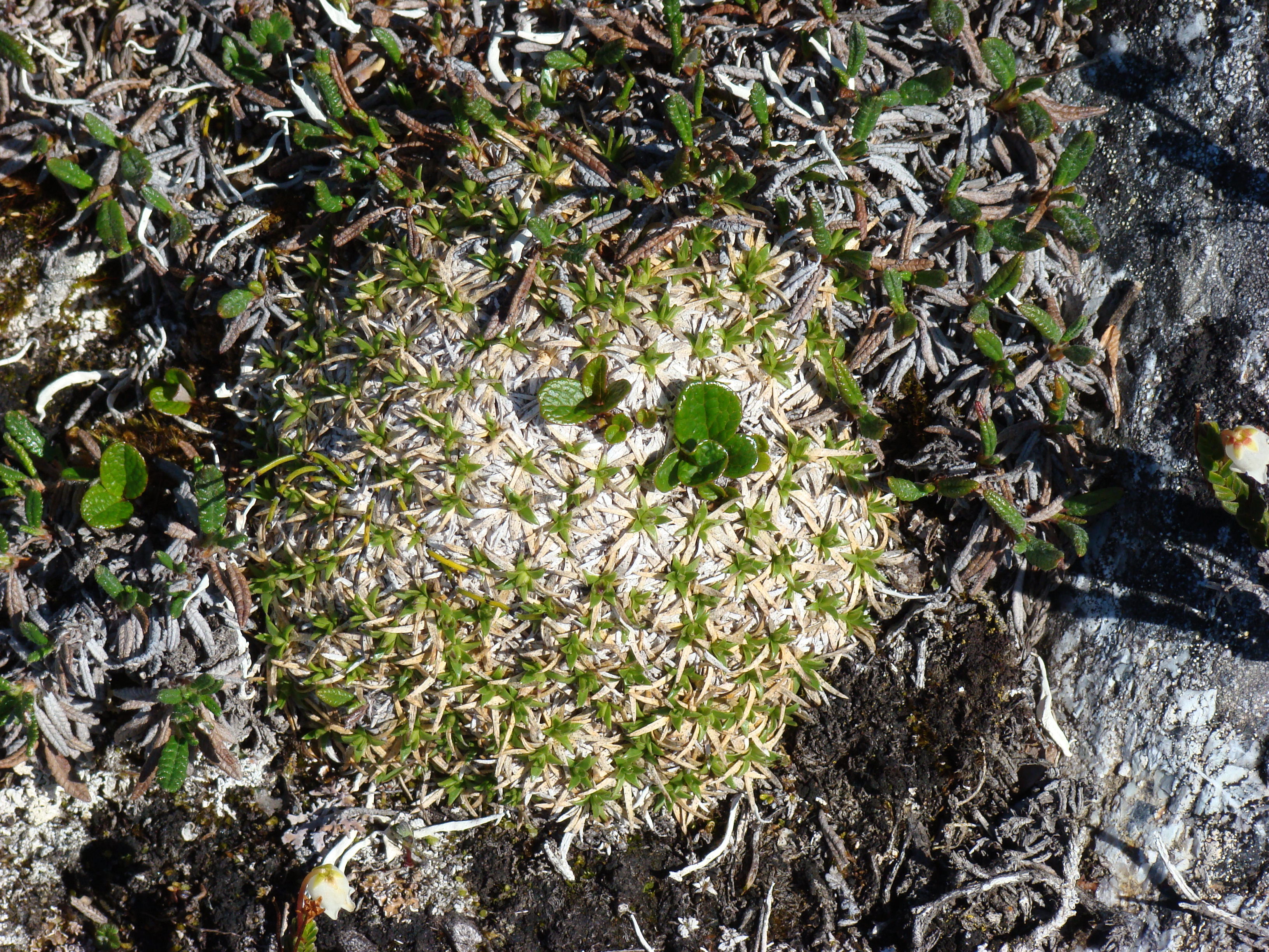
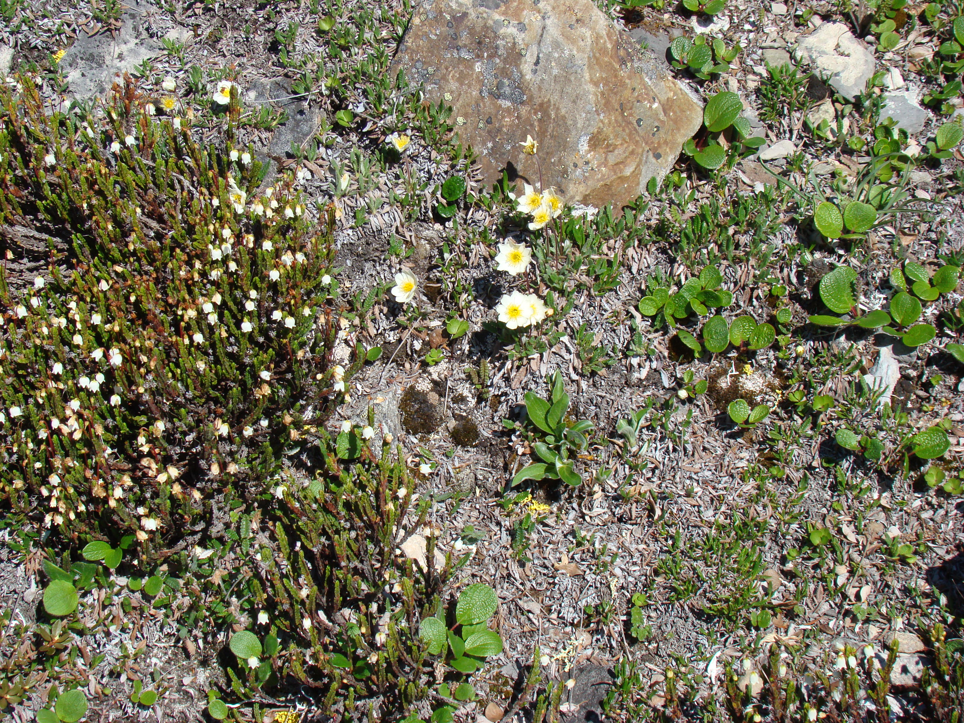
Some arctic plants. This is Silene acaulis, or moss campion.
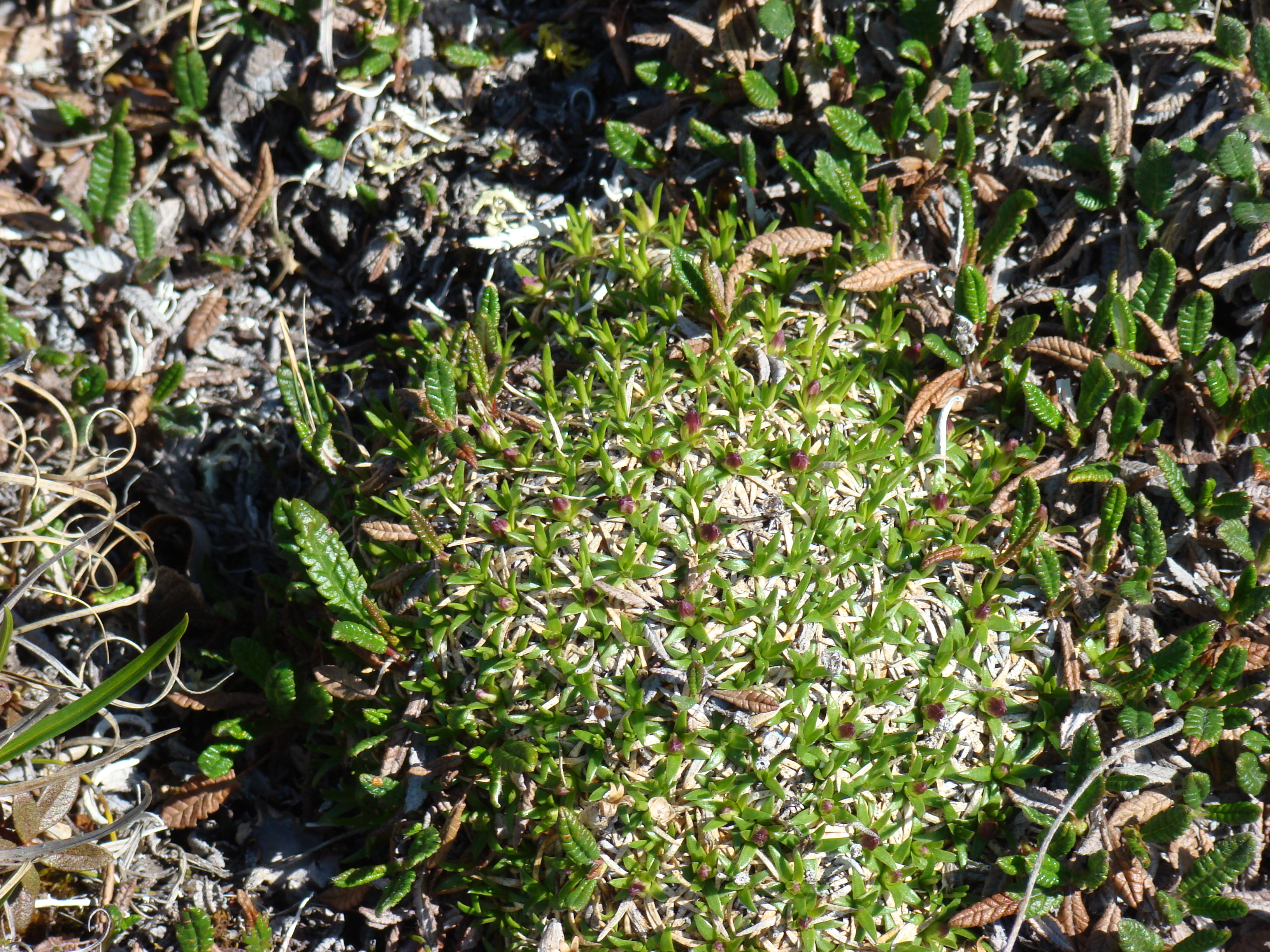
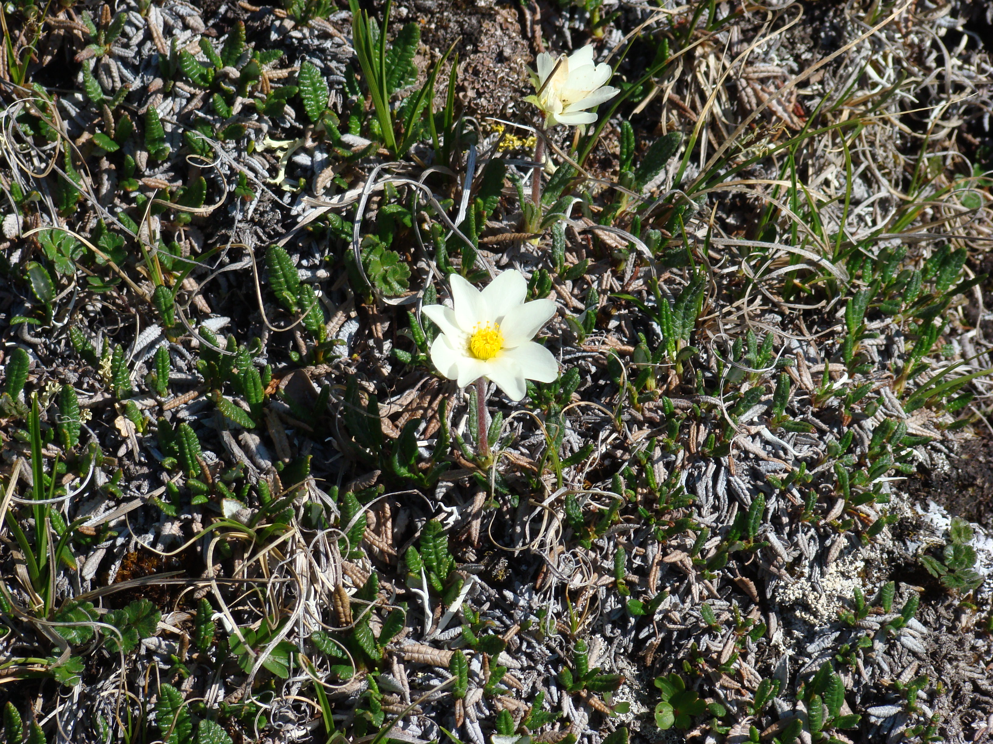
Dryas integrifolia, White Mountain Aven.
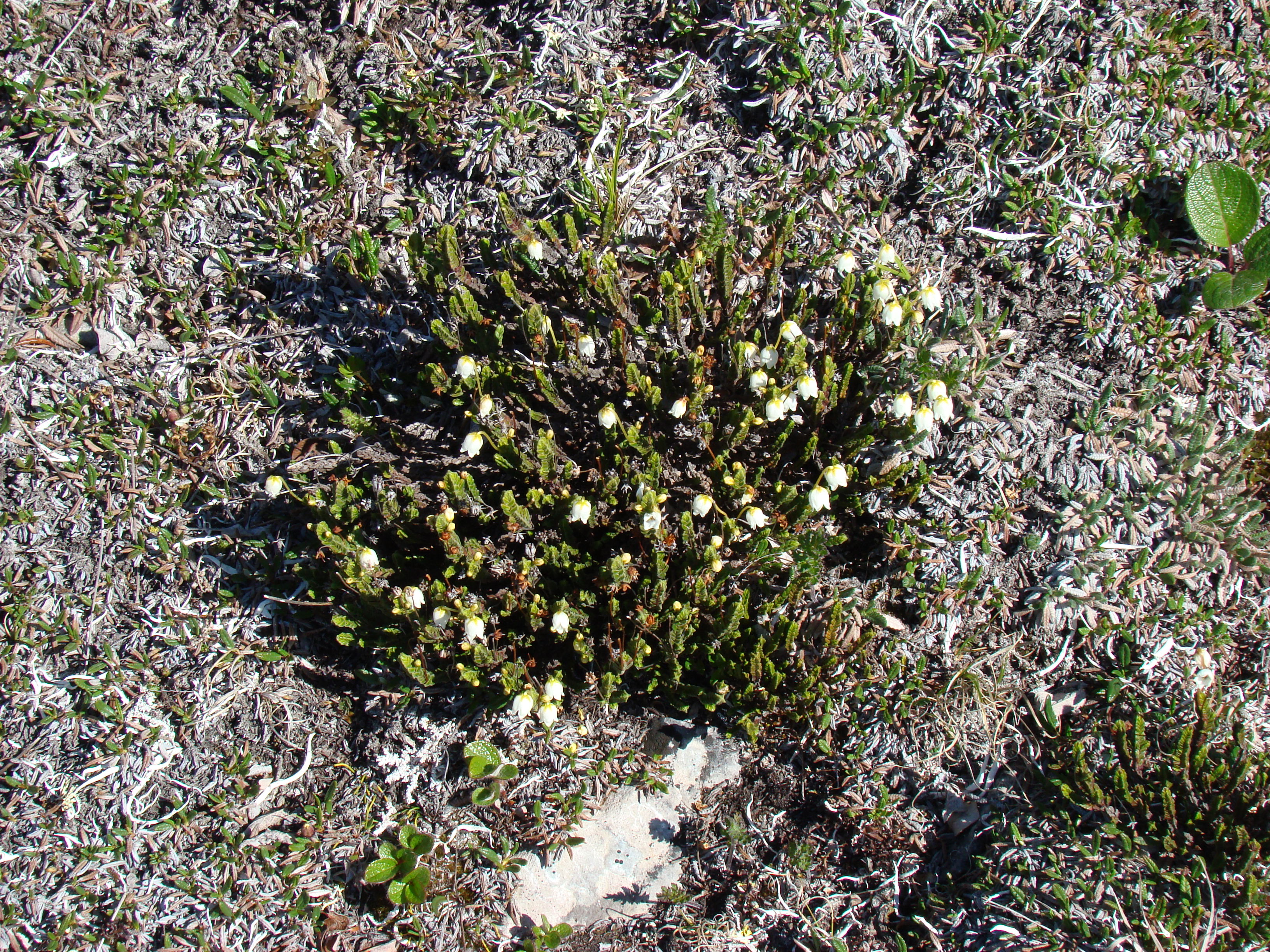
This is Western moss heather, Cassiope mertensiana.
More arctic plants. Beside the heather and aven, Netleaf
willow (Salix reticulata).
This is the end of Part I. Click here to go to Part II.
Photographs are shown in chronological order.
For the second part of the vacation photos, click here.
For the third part of the vacation photos, click here.
For the fourth part of the vacation photos, click here.
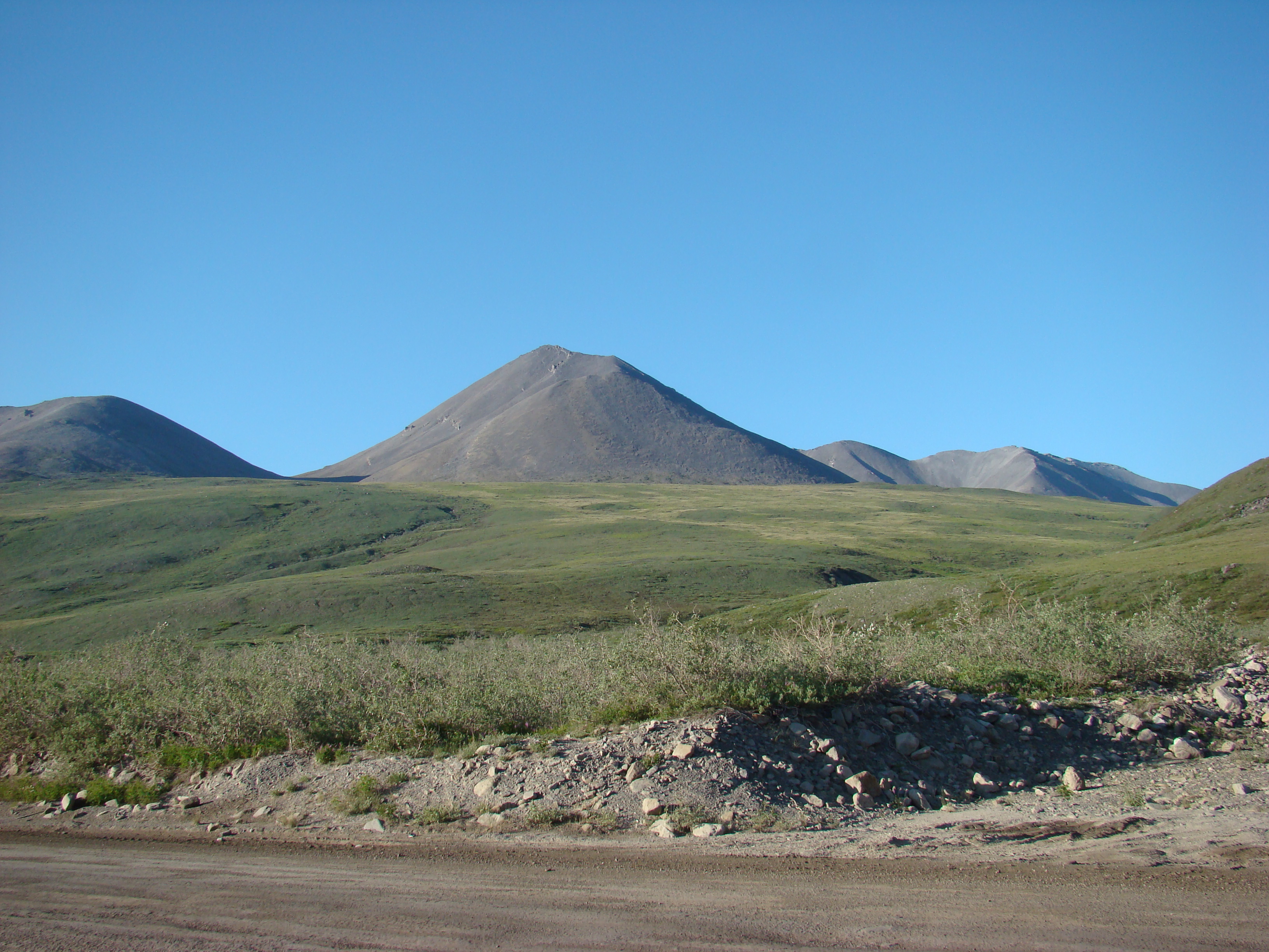
The photograph on the right shows a view of Mt. Denali from
the Parks Highway.
Early on my second day (first driving day) I encountered these
moose off the Parks Highway.
Closer view of the moose.
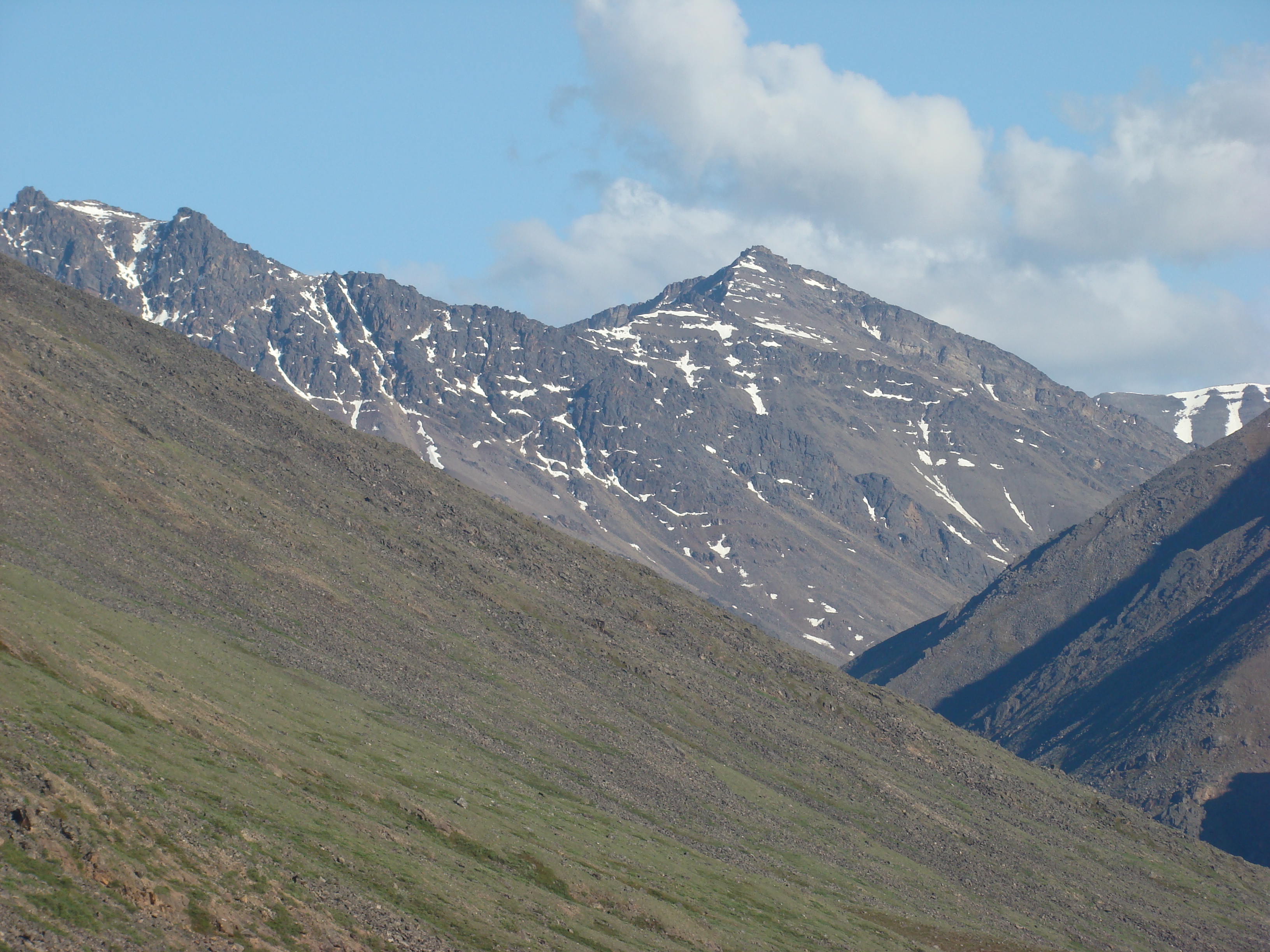
Another view of Mt. Denali, further north.
Another view of Mt. Denali, still further north.
On Saturday, along the road from Fairbanks to the start of the
Dalton, I first saw the Alyeska Pipeline.
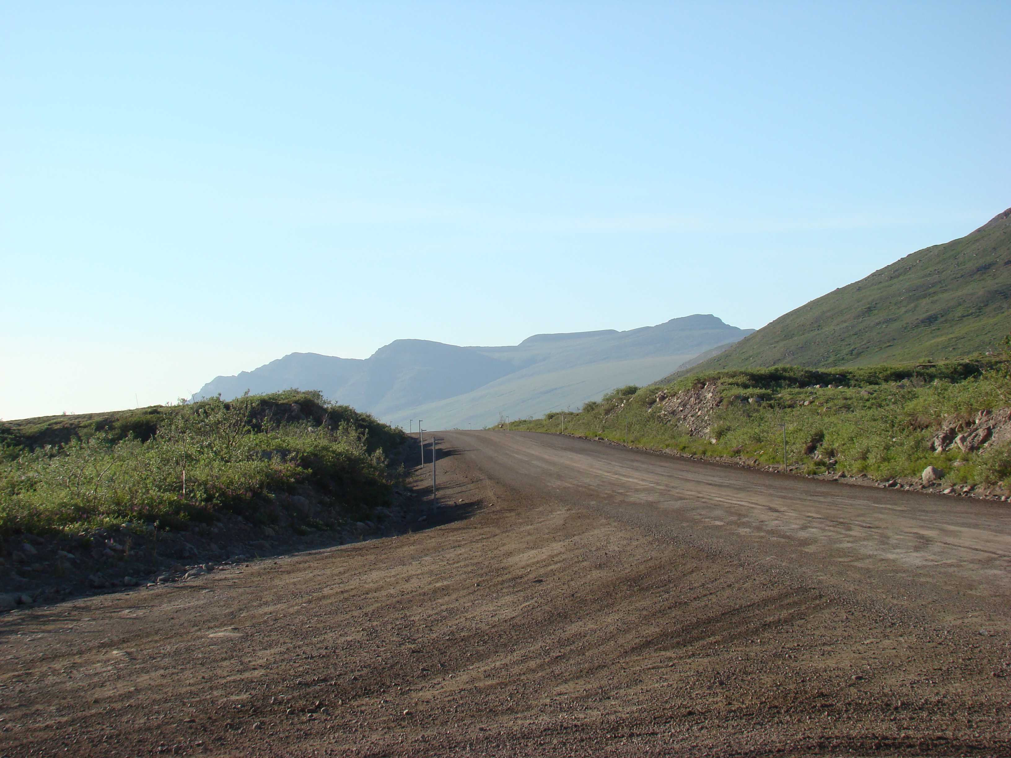
The start of the Dalton Highway. Very exciting!
About 3 miles south of here, a drunk hunter shot the pipeline
and pierced the pipe wall, causing a major oil spill that made
national news in 2002.
http://albionmonitor.com/0109a/alaskapipelinespill.html
Papilio canadensis was plentiful the first few days. This is
near the 10 km post.
Second growth after a 2004 forest fire, which killed the spruce
forest. On average, forest fires caused by lightning burn
stunted spruce forests every 80 years. Black spruce is one of
the few trees that thrive where shallow permafrost stunts the
roots.
Still Saturday. The weather for the first 10 days was great,
with little rain. Second growth after an earlier forest fire, circa
1990 or so.
Looking down on the Dalton.
These 'kinks' in the pipeline allow it to flex as the pipe expands
and contracts due to temperature changes. Without these
kinks, thermal expansion forces could over-stress the pipe wall.
About 95 km on the Dalton. The mileposts run from 0 at the
southern end.
The white-topped plant is Eriophorum vaginatum.
Entrance to the Arctic circle wayside and campground, where I
stayed Saturday night.
Yours truly!
Two nice grayling I caught in the North Fork of Bonanza
Creek, 10 miles north of the arctic circle.
The bottom fish is about 2.5 pounds.
Connection rock, roadside where the southern team met the
northern team building the Dalton Highway.
Campsite at the arctic circle, Saturday night.
Sunday morning intruder, a Grey Jay.
Sunday morning, just north of the arctic circle.
Sunday morning, just north of the arctic circle.
Along the Dalton, near Chandalar Shelf, a few miles south of
Atigun Pass.
Chandalar Shelf.
Another view of Chandalar Shelf.
Looking south on the Dalton at Chandalar Shelf.
About 10 km south of Atigun Pass, I was going to hike through
this valley, but the hiking was too difficult, and I ditched this
idea.
At Atigun Pass.
At Atigun Pass.
At Atigun Pass, an avalanche zone most of the year.
Nice bowl to the east of Atigun Pass.
This is about 15 km north of Atigun Pass. I tried my hike
here, but the terrain was too damp and nearly impassable.
This was Tuesday evening.
Same spot as above, looking to the south on the Dalton.
Same location as the above shot.
Camped here Tuesday through Saturday night. More shots
follow. The creek was nameless.
The Atigun River is just to the west. This is a parking lot for
the State of Alaska road crew.
Still the same spot. By the way, it is about 10 pm!
Same creek.
The bridge over the creek for the Dalton Highway.
From my campsite, just below the bridge, looking north.
Tuesday morning, looking up the hill. I spent the next two
days collecting here. Lots of good bugs.
These three little hills, about a 45 minute hike from the tent,
yielded P. machaon, the Oeneis alpina, a few B. polaris, and lots of other common leps.
Same hills.
So beautiful when it was clear.
A nearby shot. This is in the Brooks Range, by the way.
Another view from the road up the slope.
Another view to the north from the campsite.
Again, these were shot around 10 pm.
To the west.
Wednesday morning intruder.
My gear. The three little hills are to the right. This is looking
back to the Dalton. I was starting my four day backpack
adventure. Never got more than 5 miles from the car, but I
never visited the car on these days, returning Saturday night for
pasta and beer.
About 1 mile from the Dalton. I will hike over the ridge and
camp, hiking further east (straight back in this shot) the next
three days.
This is the hill closest to the Dalton.
One of the three hills, with the next shots taken atop this hill.
Looking down to Pump Station #4. These stations pump oil
from the Arctic Ocean to the south.
Just to the north of the pumping station. This is Tea Lake.
That's the Dalton crossing the pipeline, and the Atigun River in
the back
A helicopter landing at the pump station.
The Dalton runs through a valley at this point.
Looking to the east, atop one of the three hills.
Some arctic plants. This is Silene acaulis, or moss campion.
Dryas integrifolia, White Mountain Aven.
This is Western moss heather, Cassiope mertensiana.
More arctic plants. Beside the heather and aven, Netleaf
willow (Salix reticulata).
This is the end of Part I. Click here to go to Part II.