2012 Vacations photographs
Part III
Part III
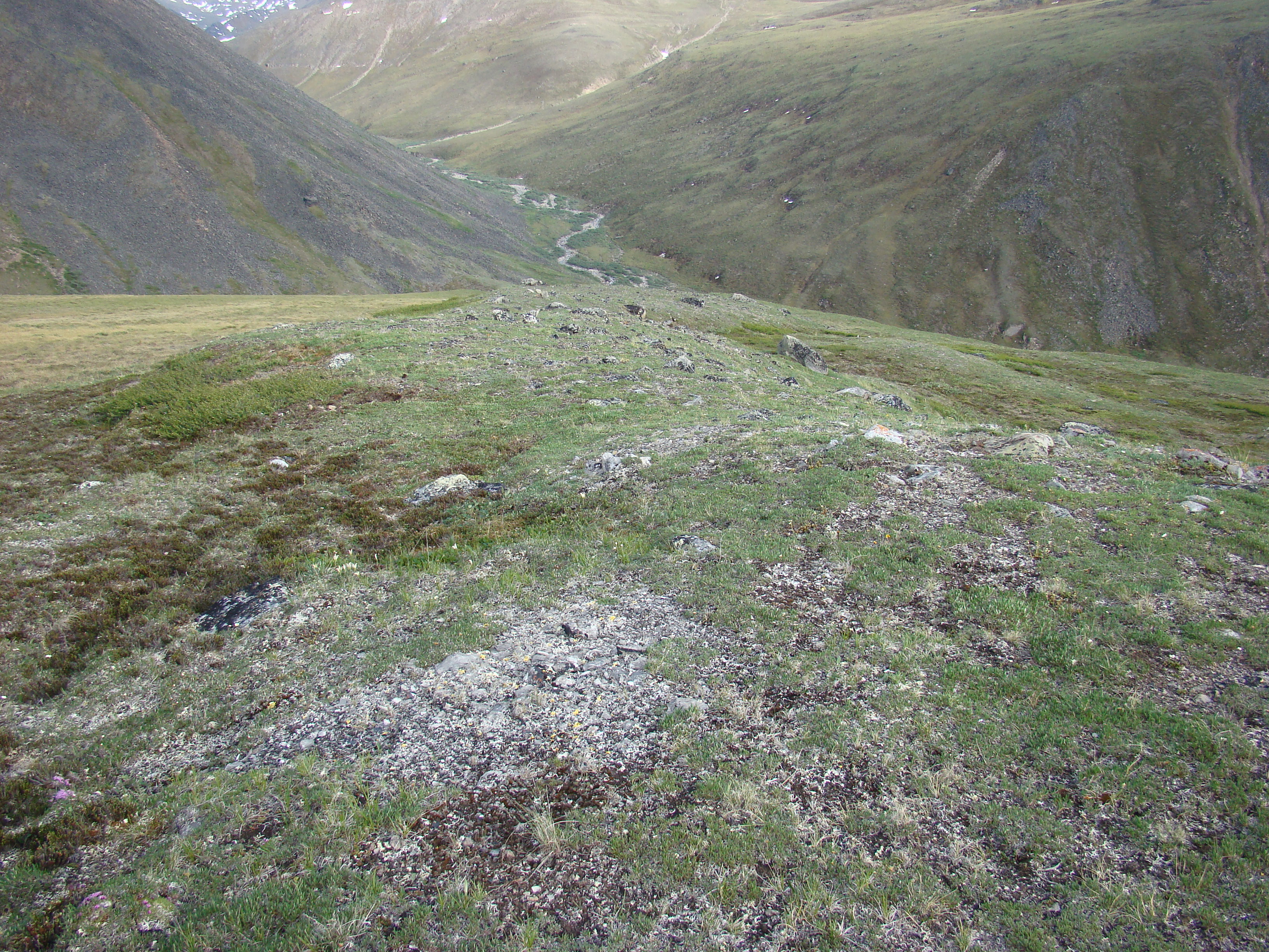
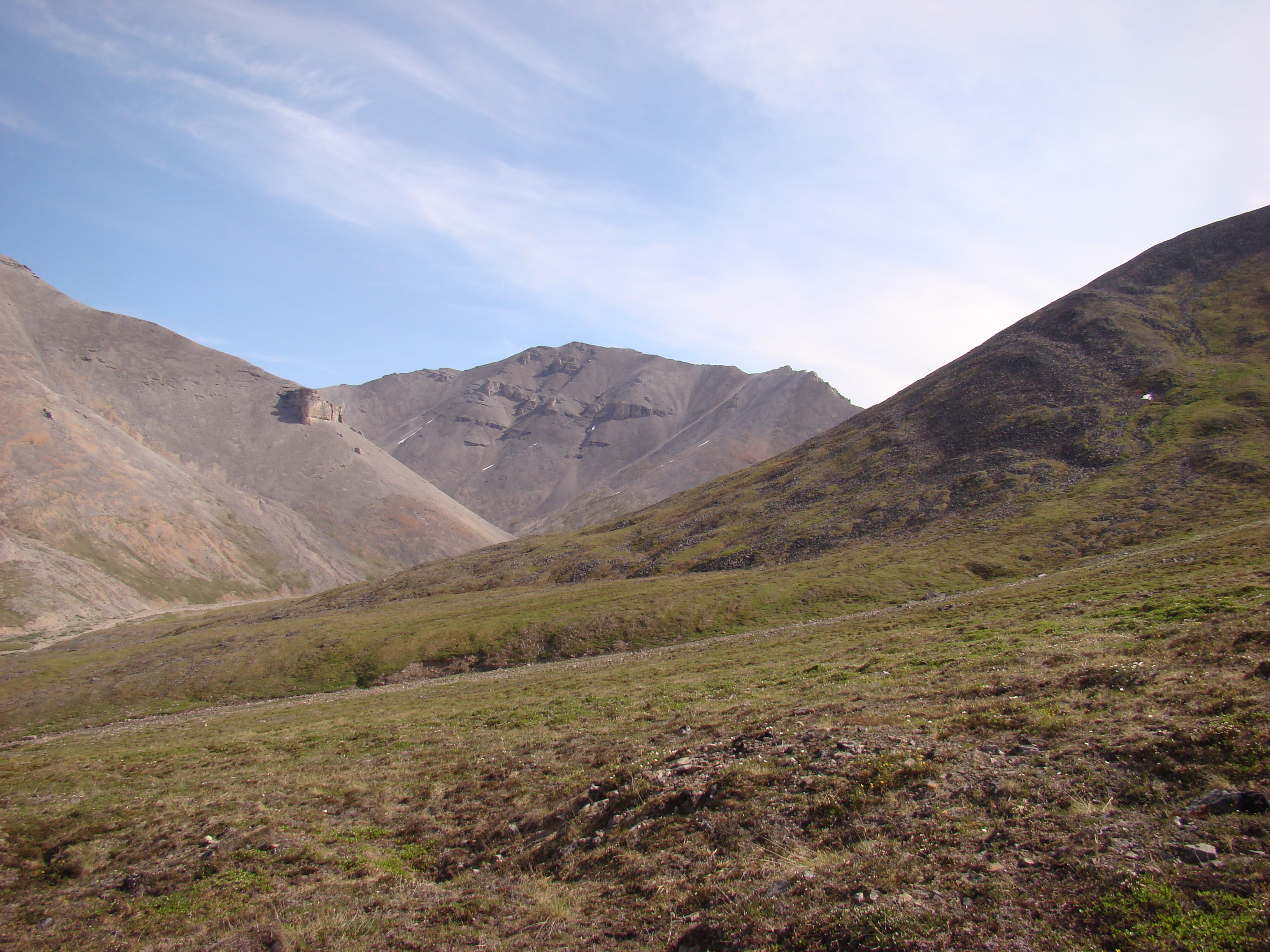
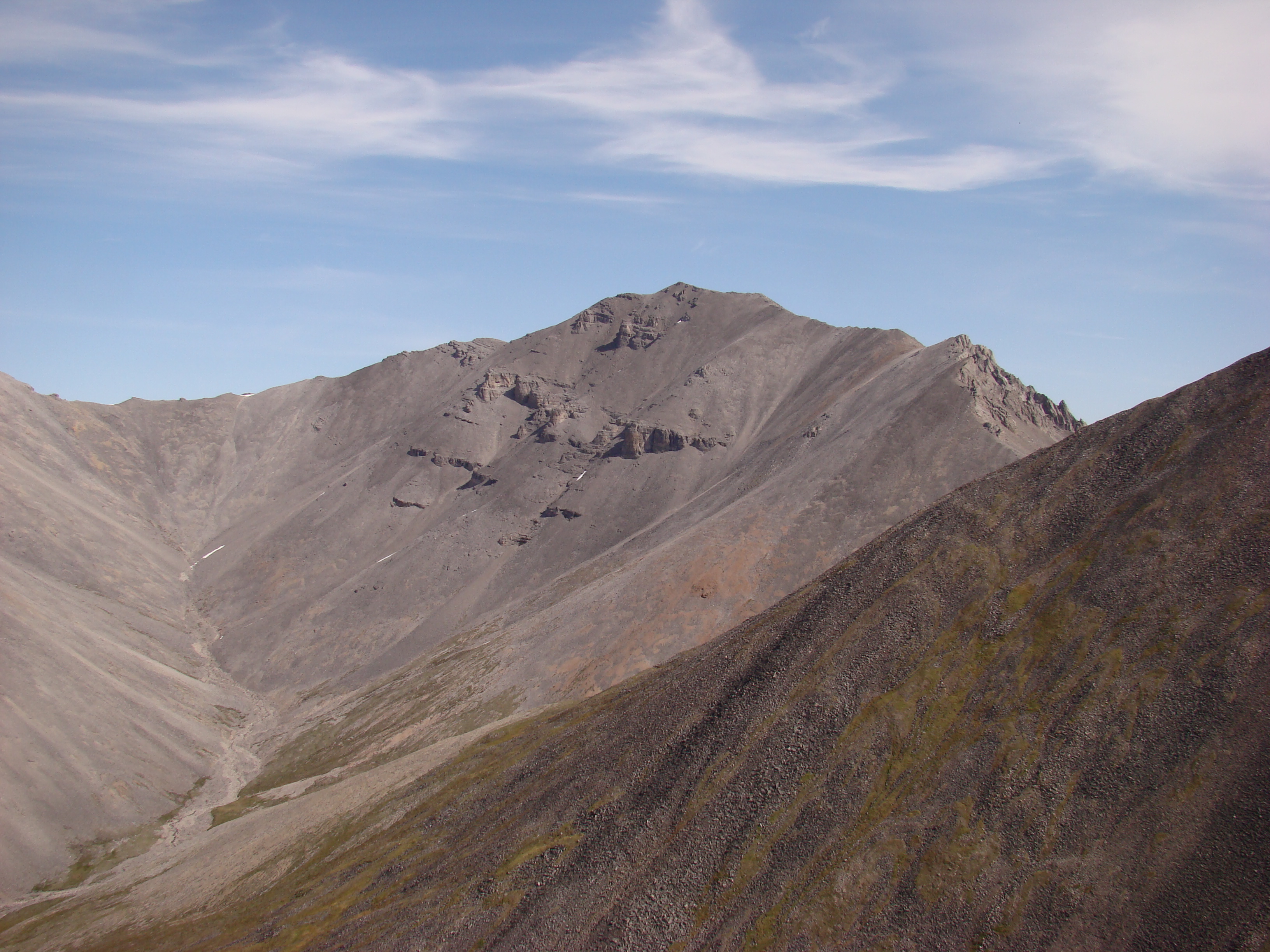
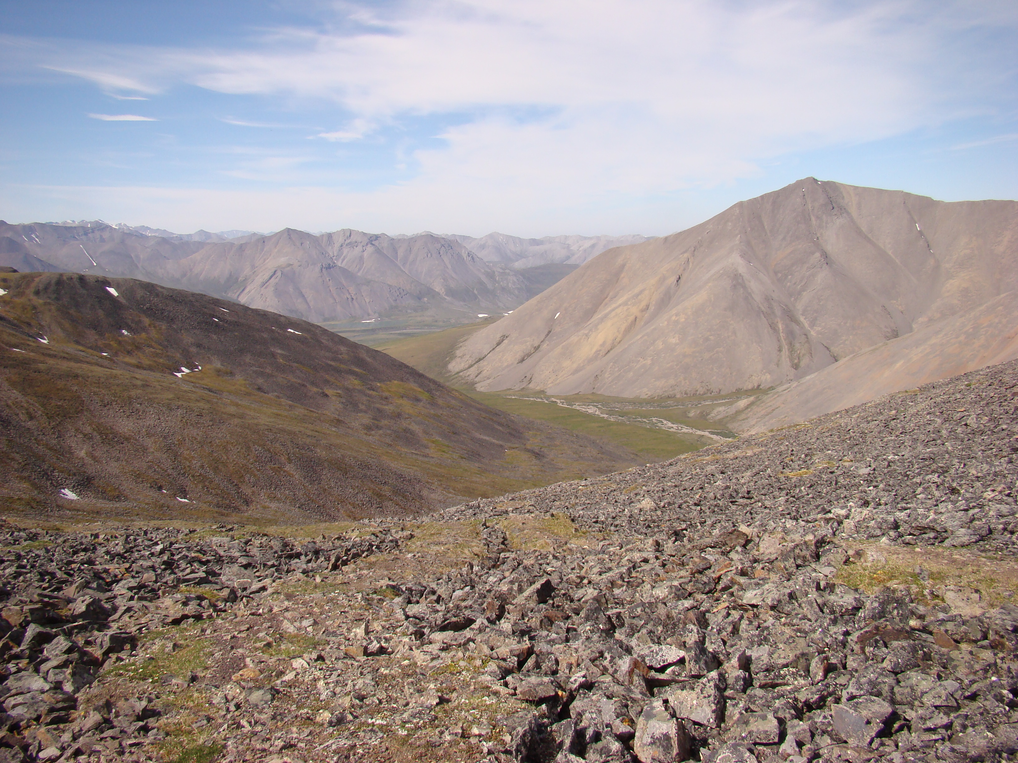
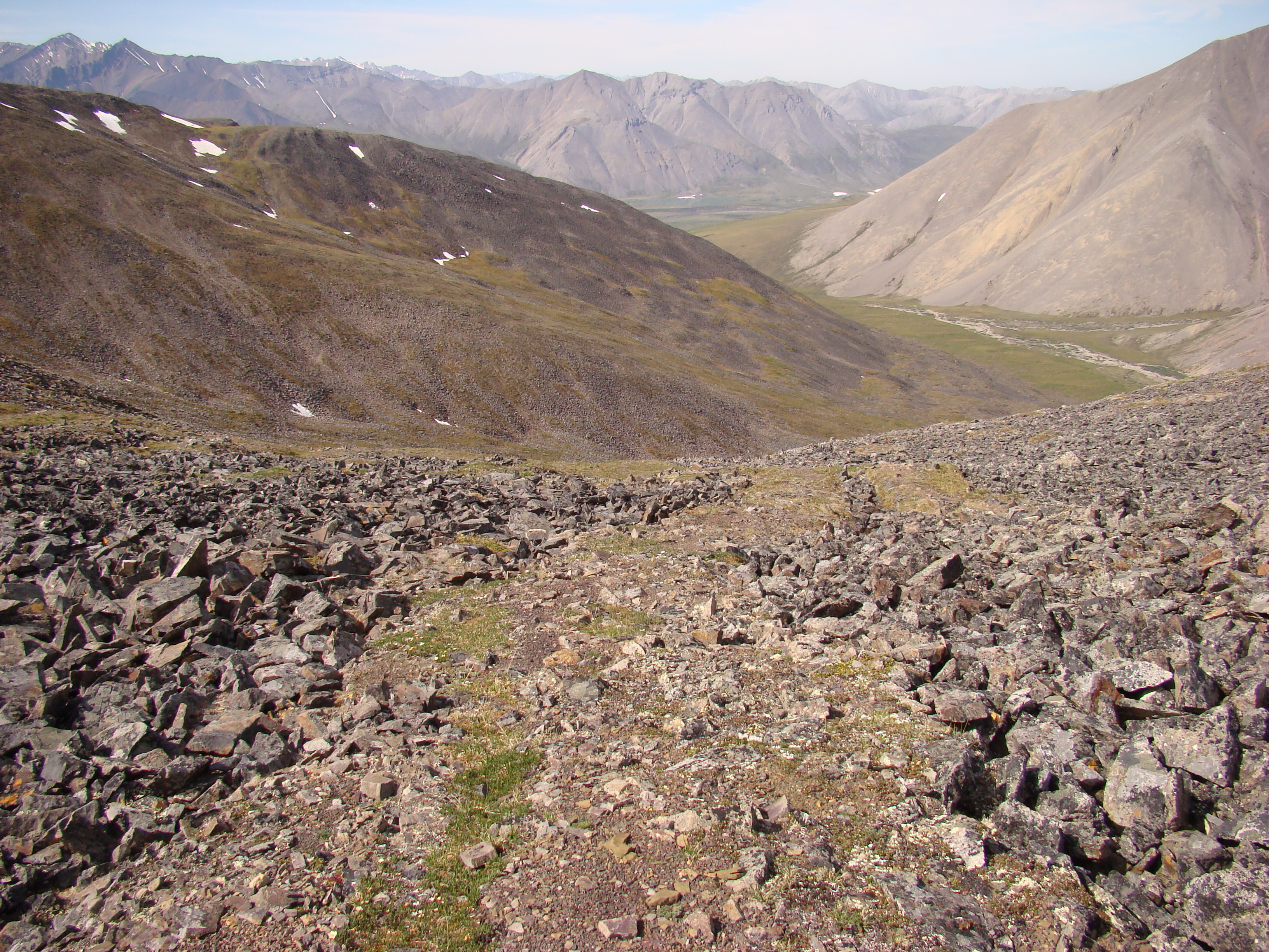


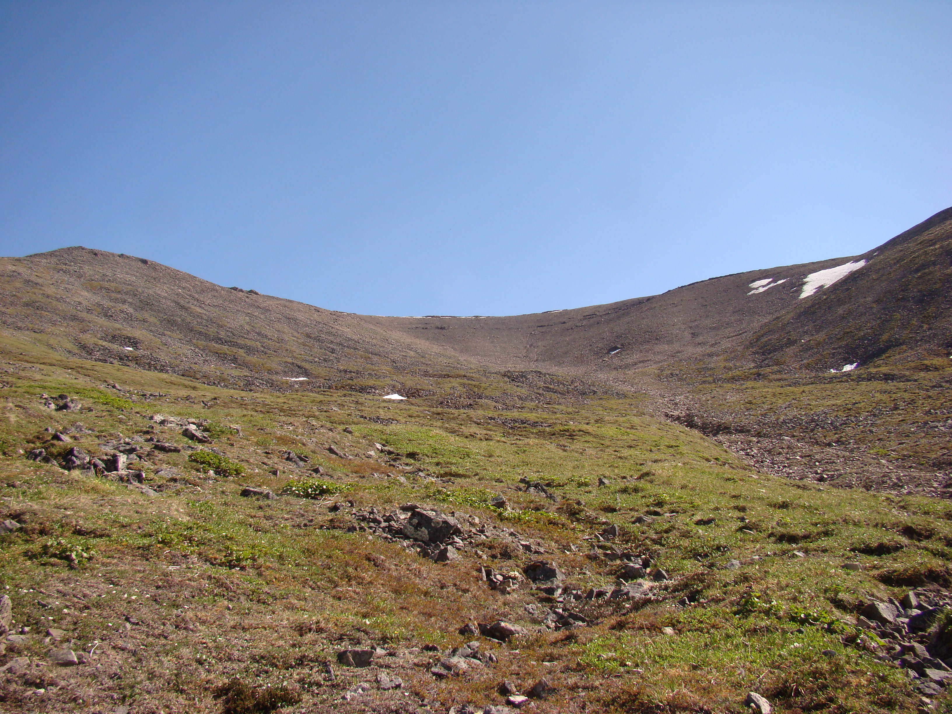

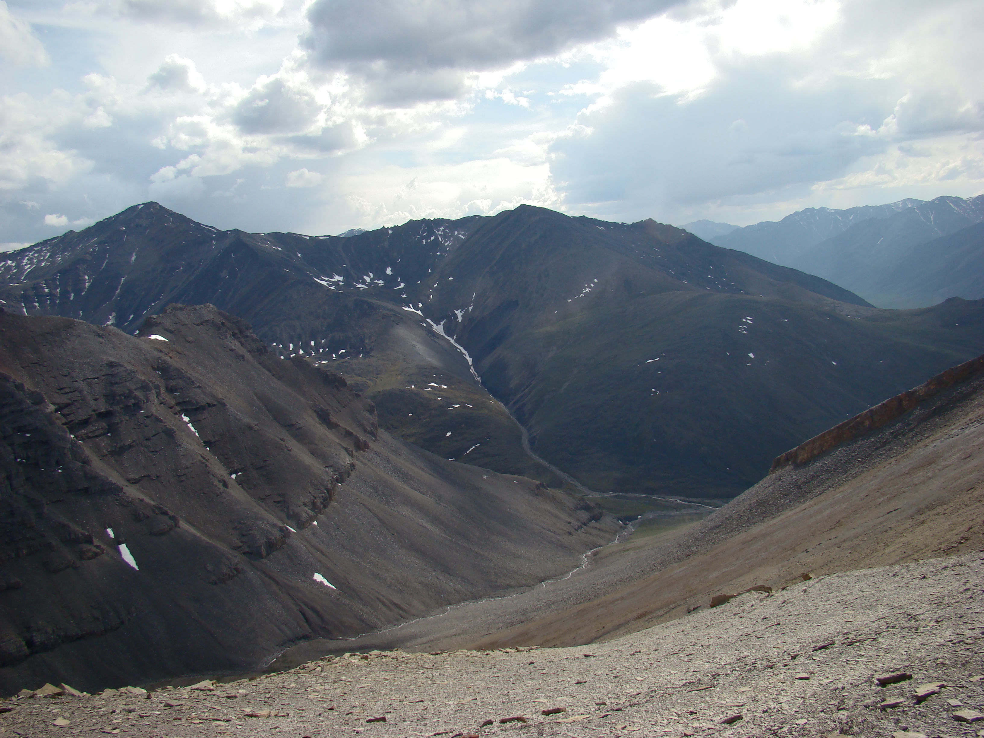

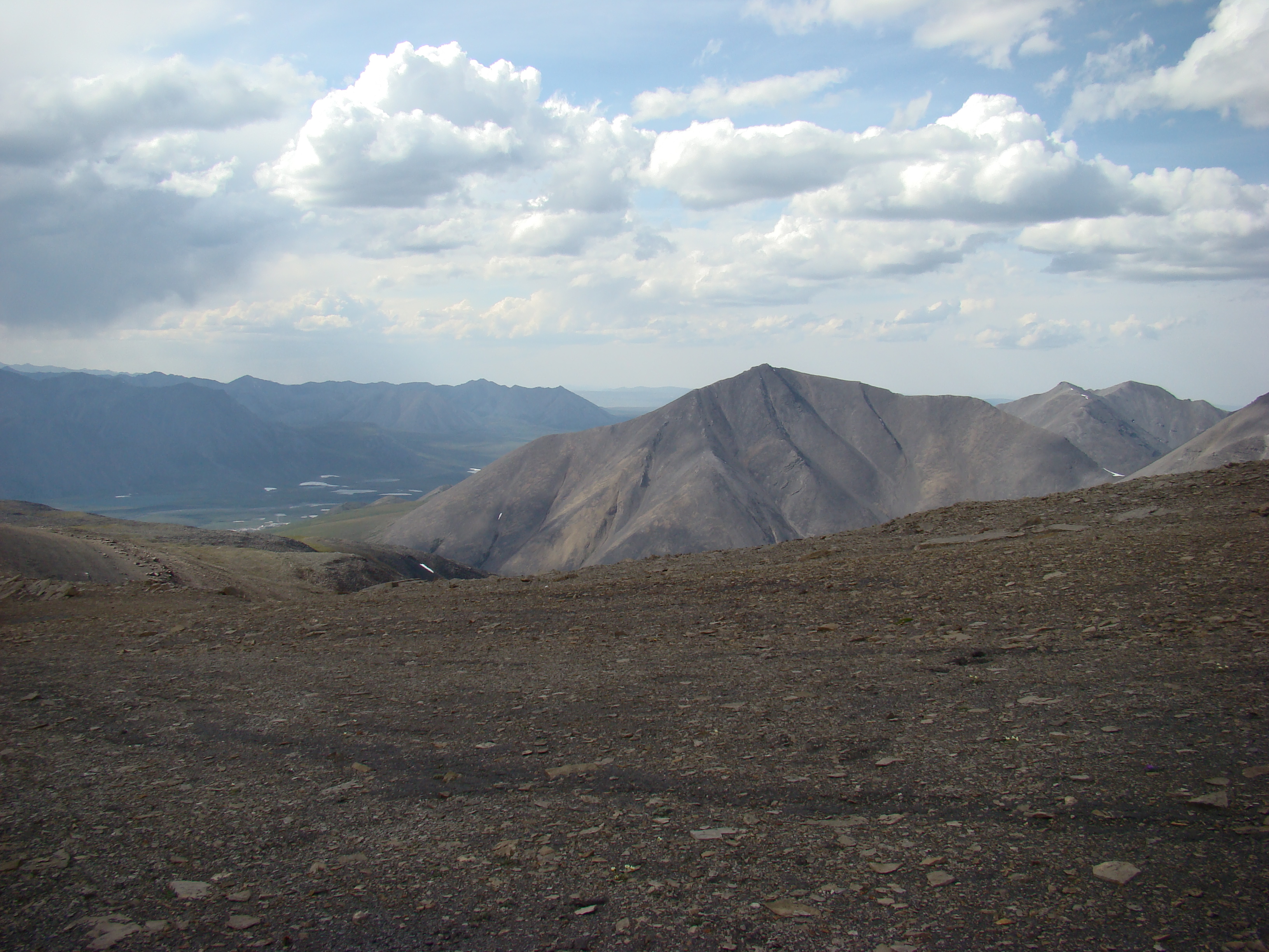
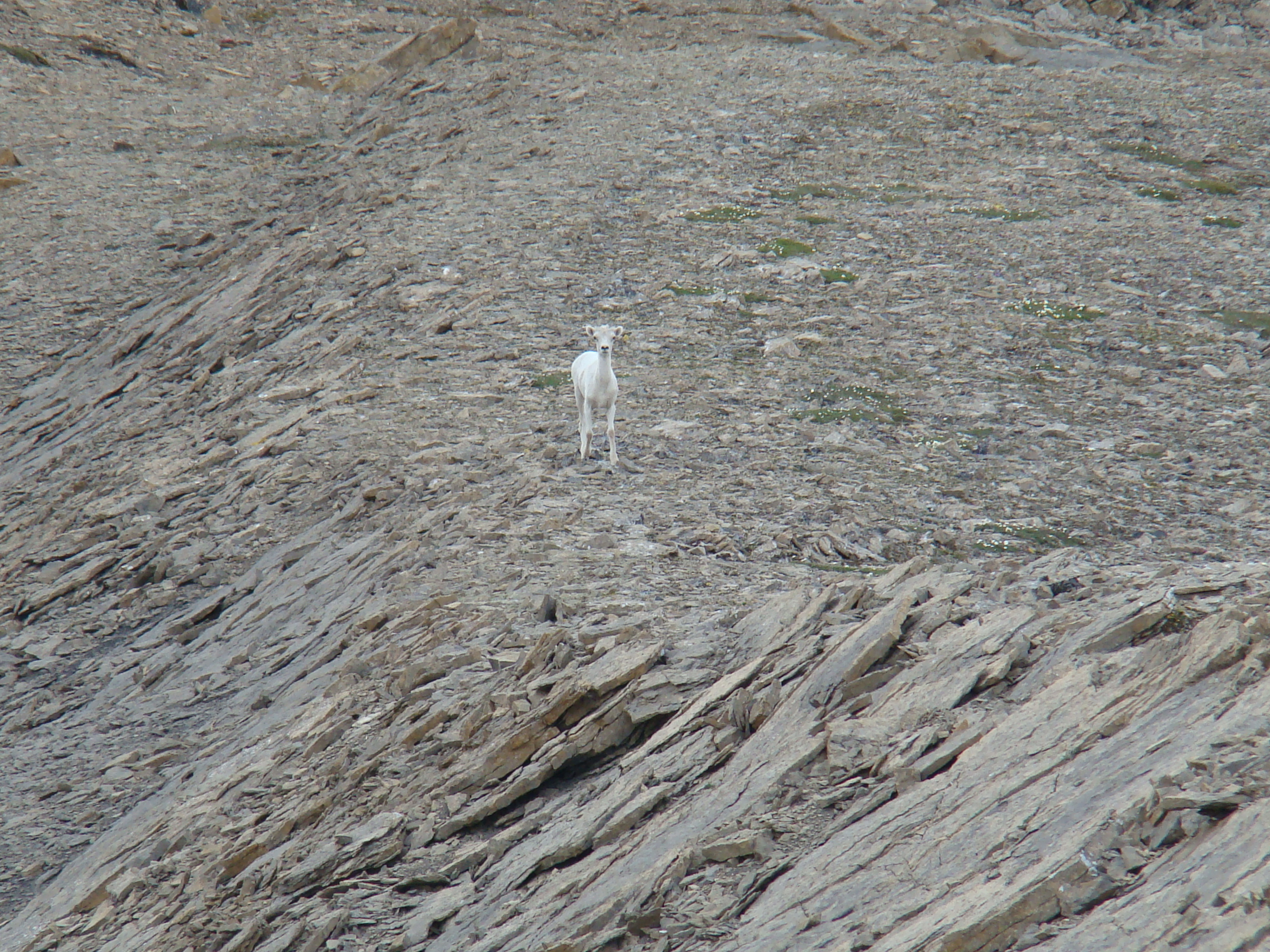

My campsite was just above the confluence of two
creeks. This one heads to the south and turns east
to parallel the ridge I hiked, shown below, where I
encountered a Dall sheep.
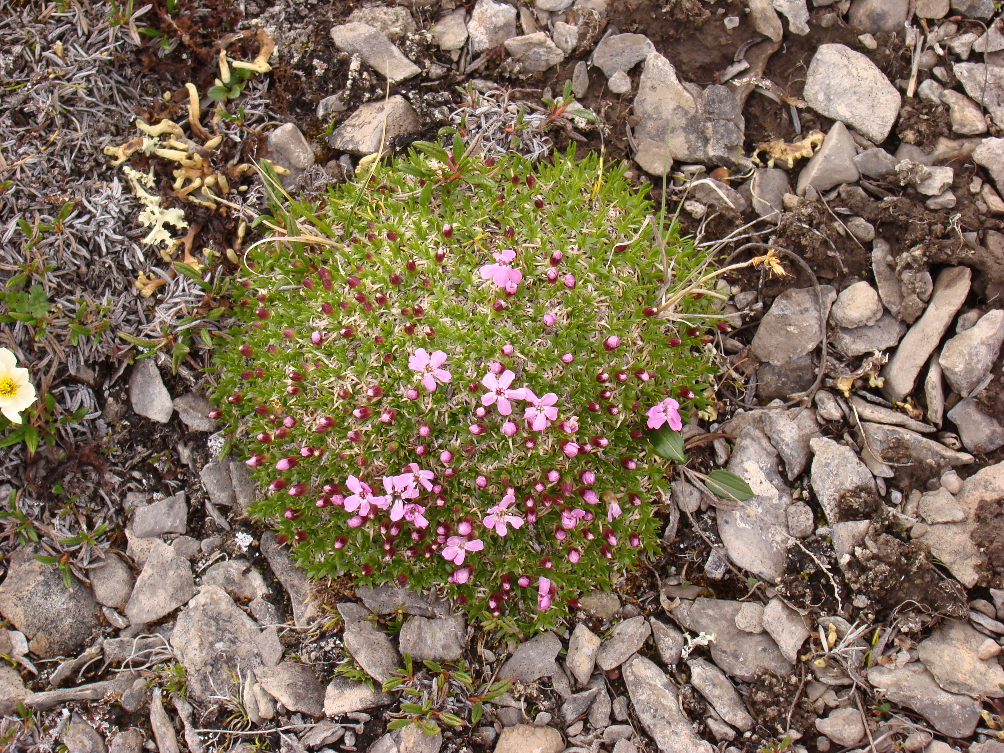
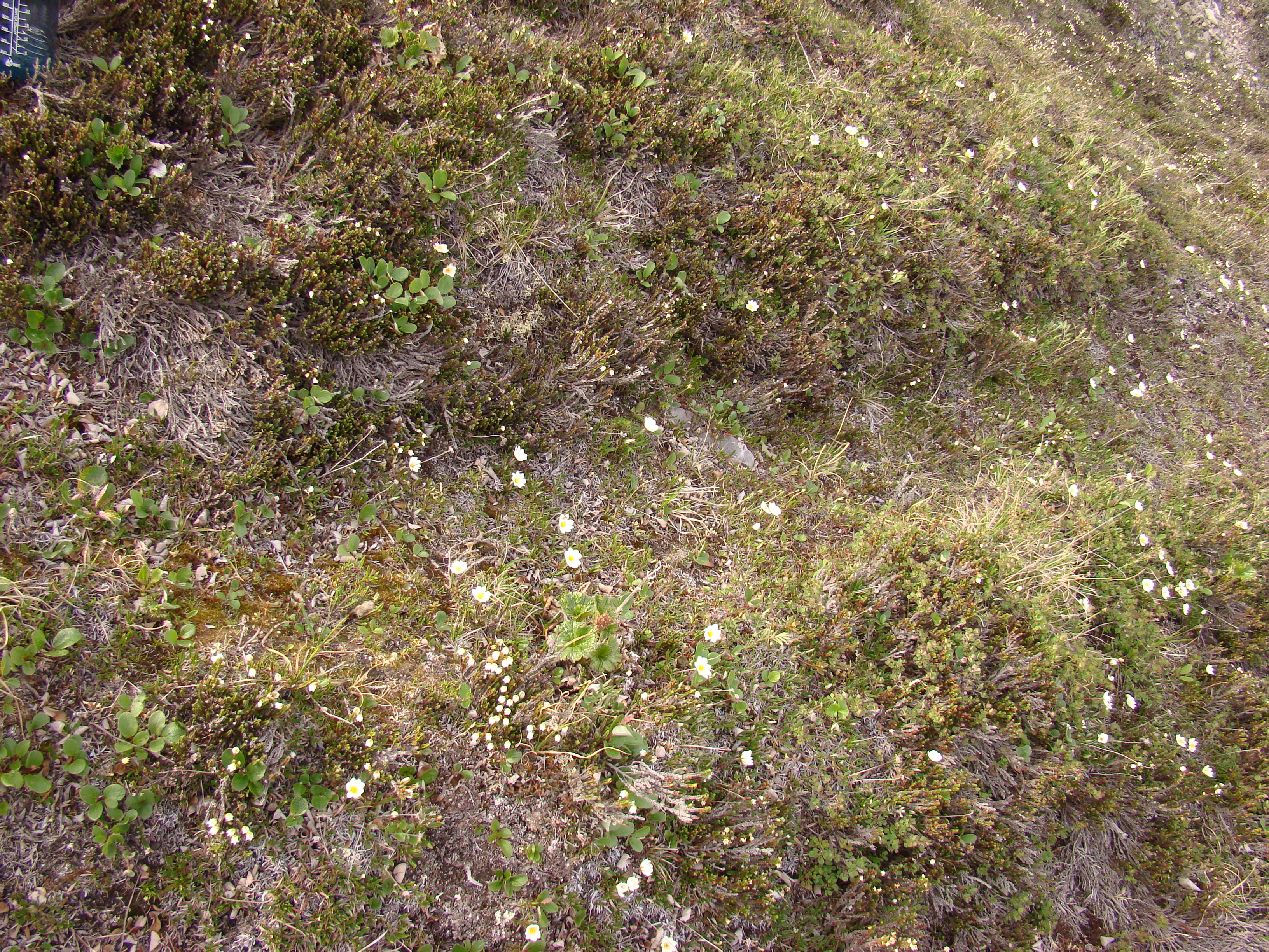
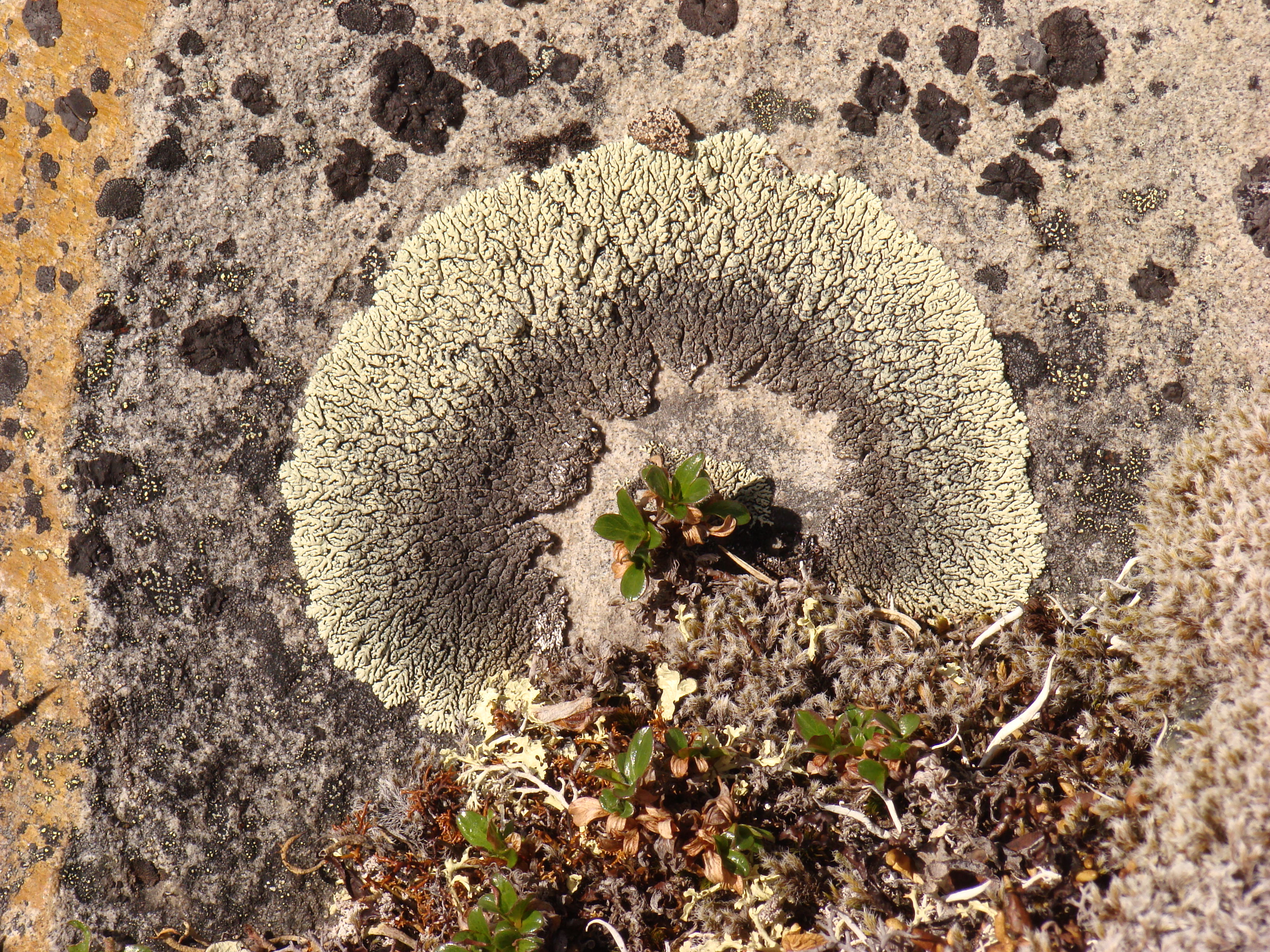
More arctic plants. This is Silene acaulis, or moss
campion.
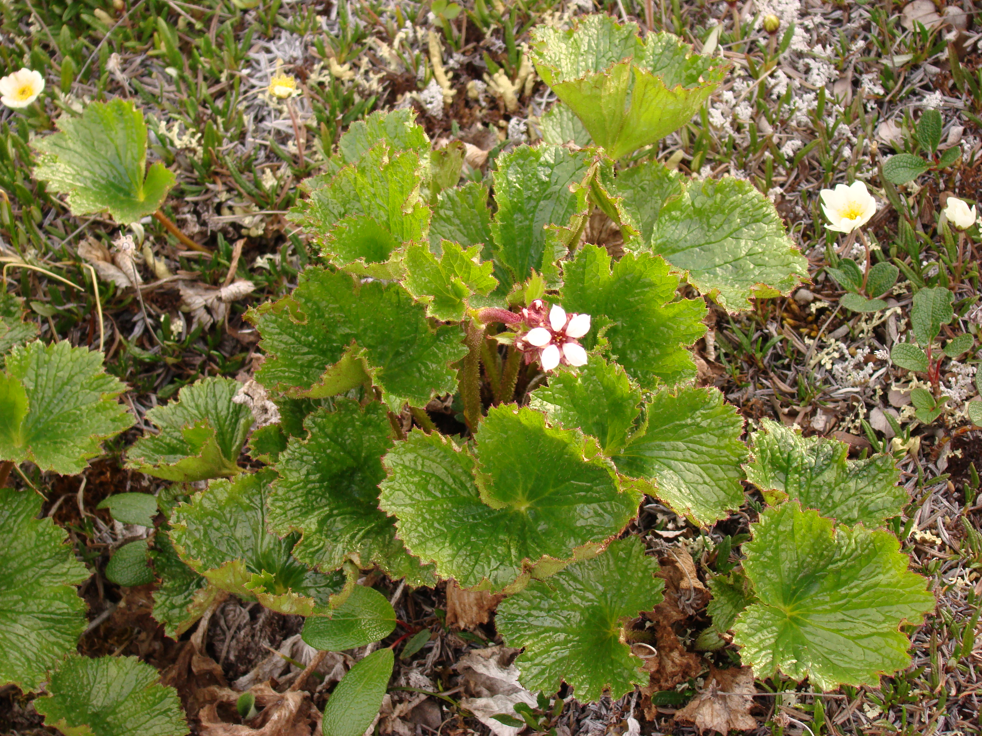
More Boykinia richardsoni.
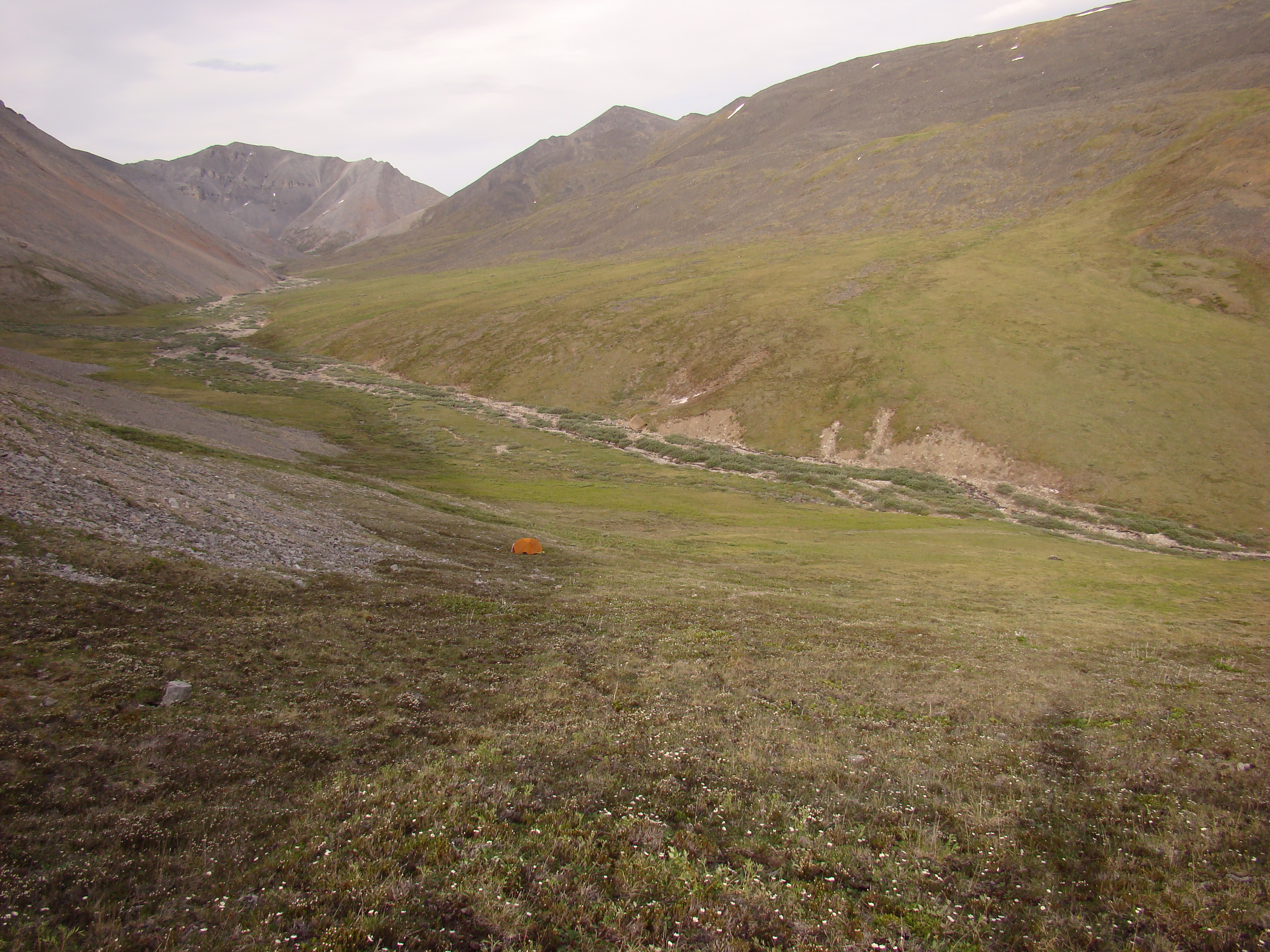
A view of my tent, around 8 pm.
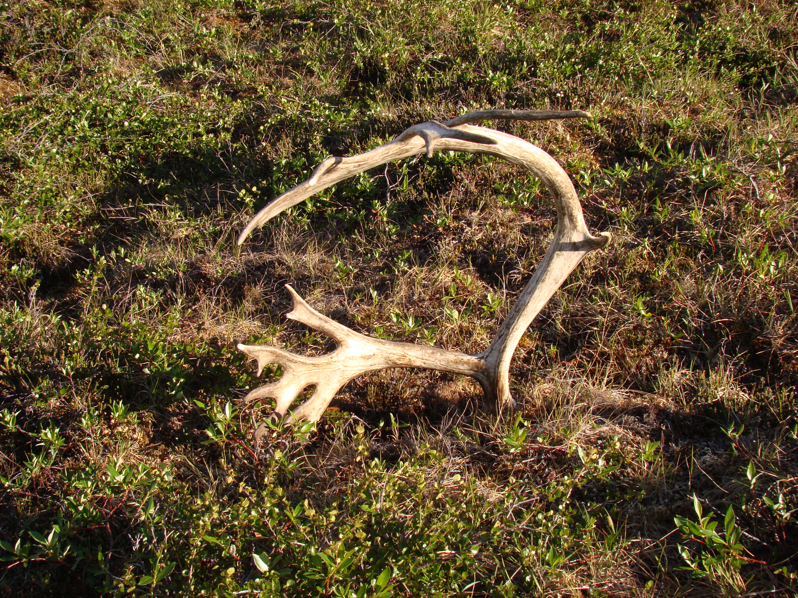
Caribou antler.
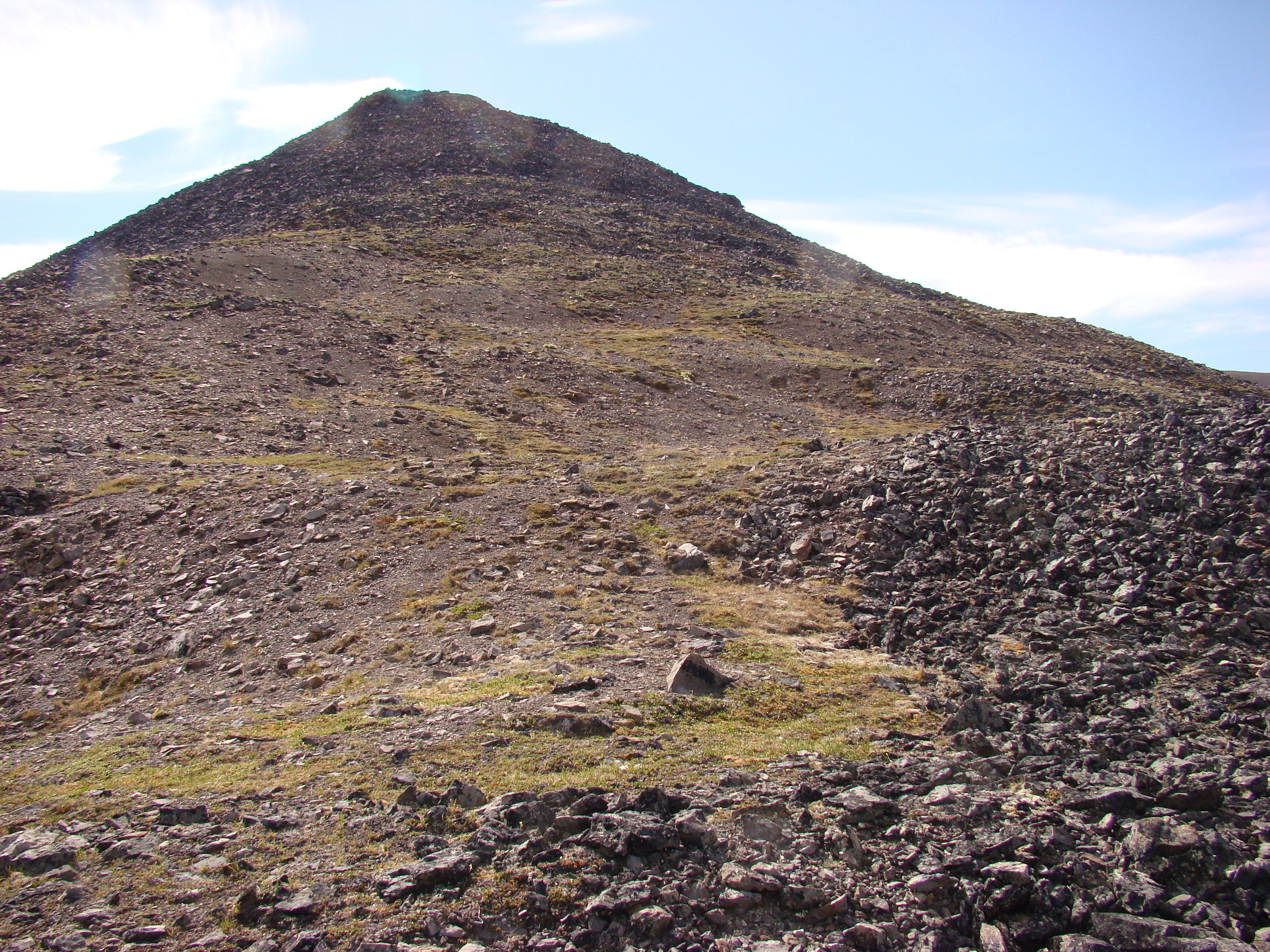
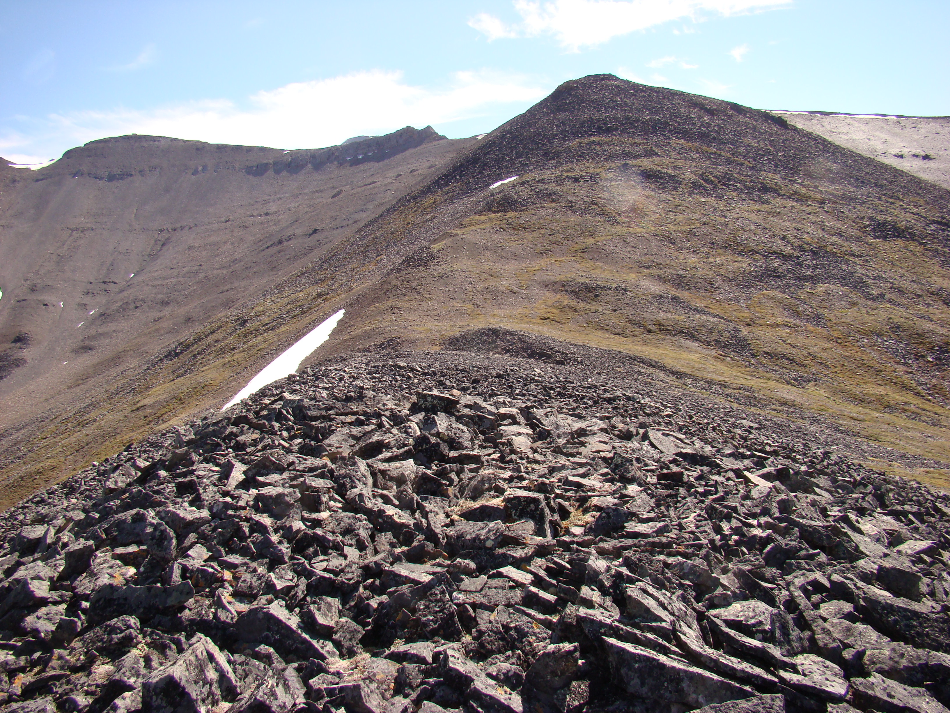
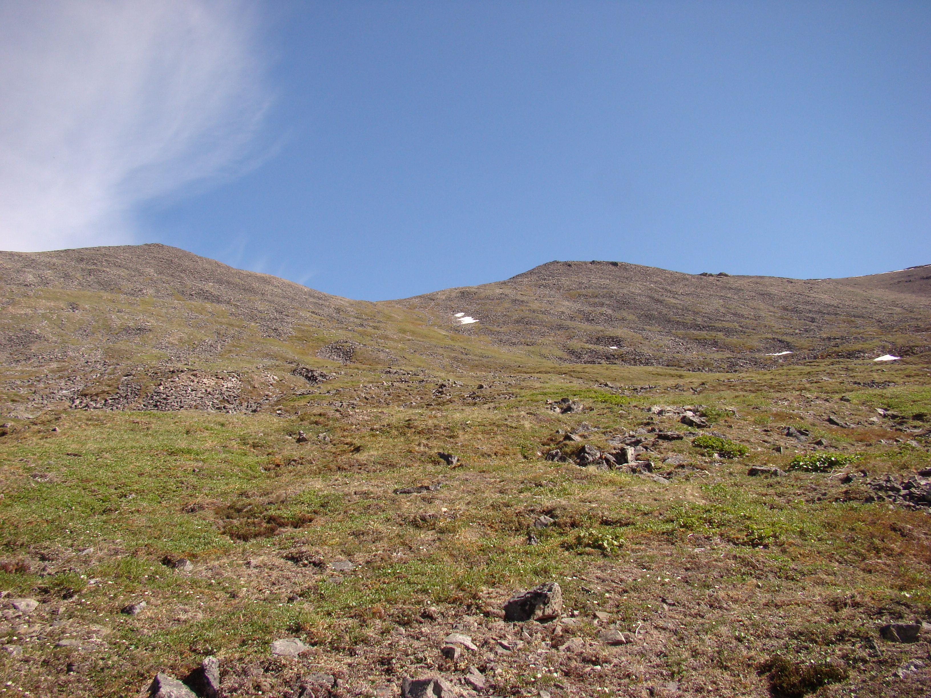
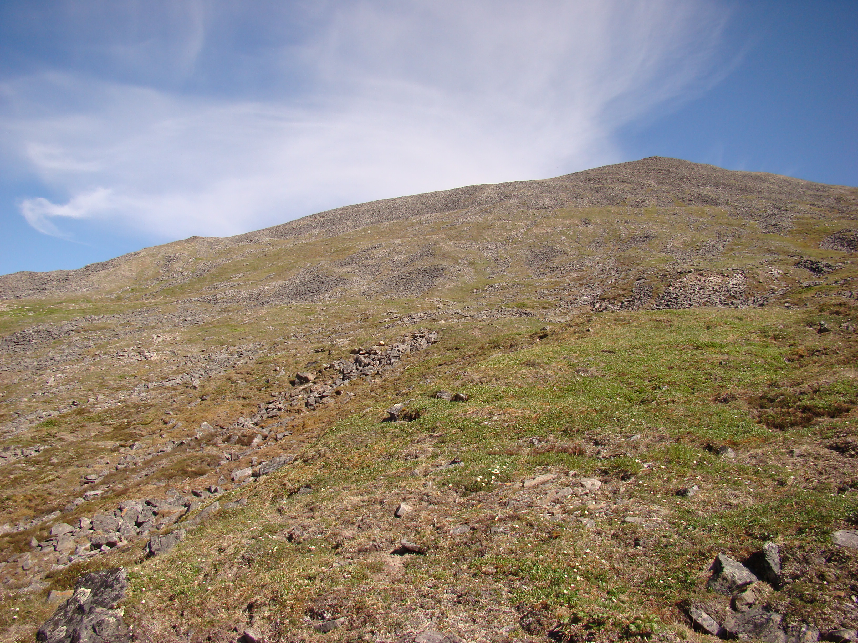
I hiked the far ridge.
The hiking was pretty easy in this region. The
only difficulty was navigating the meandering
run-off creeks. I could only average about 1 mile
per hour, distance travelled as the crow flies,
whereas I probably had walked 2-2.5 miles in this
time, if that makes sense!
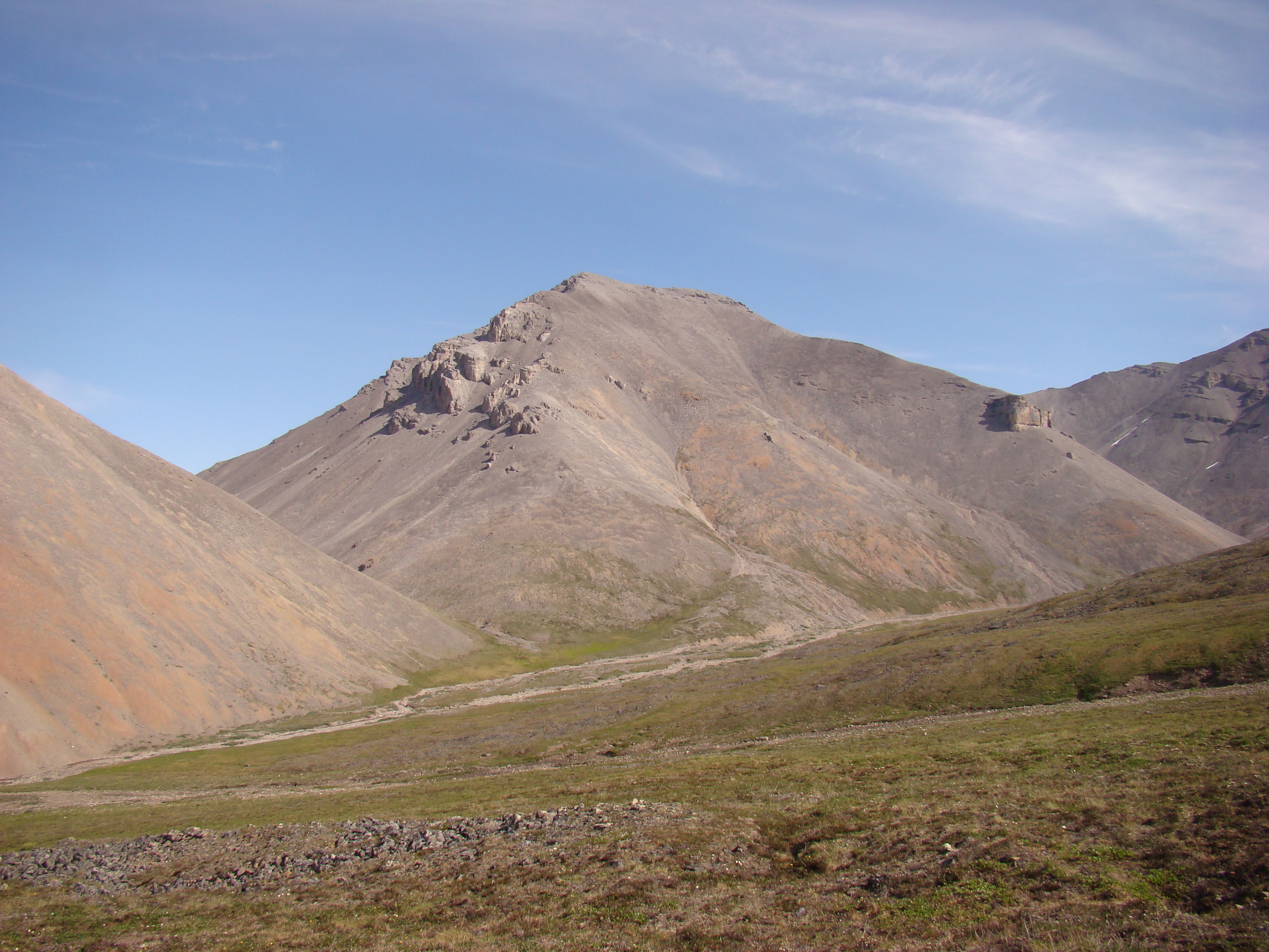
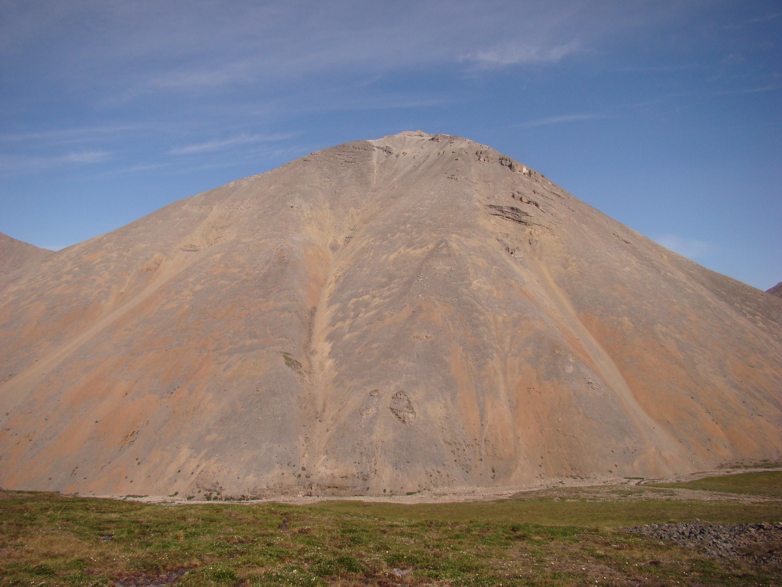
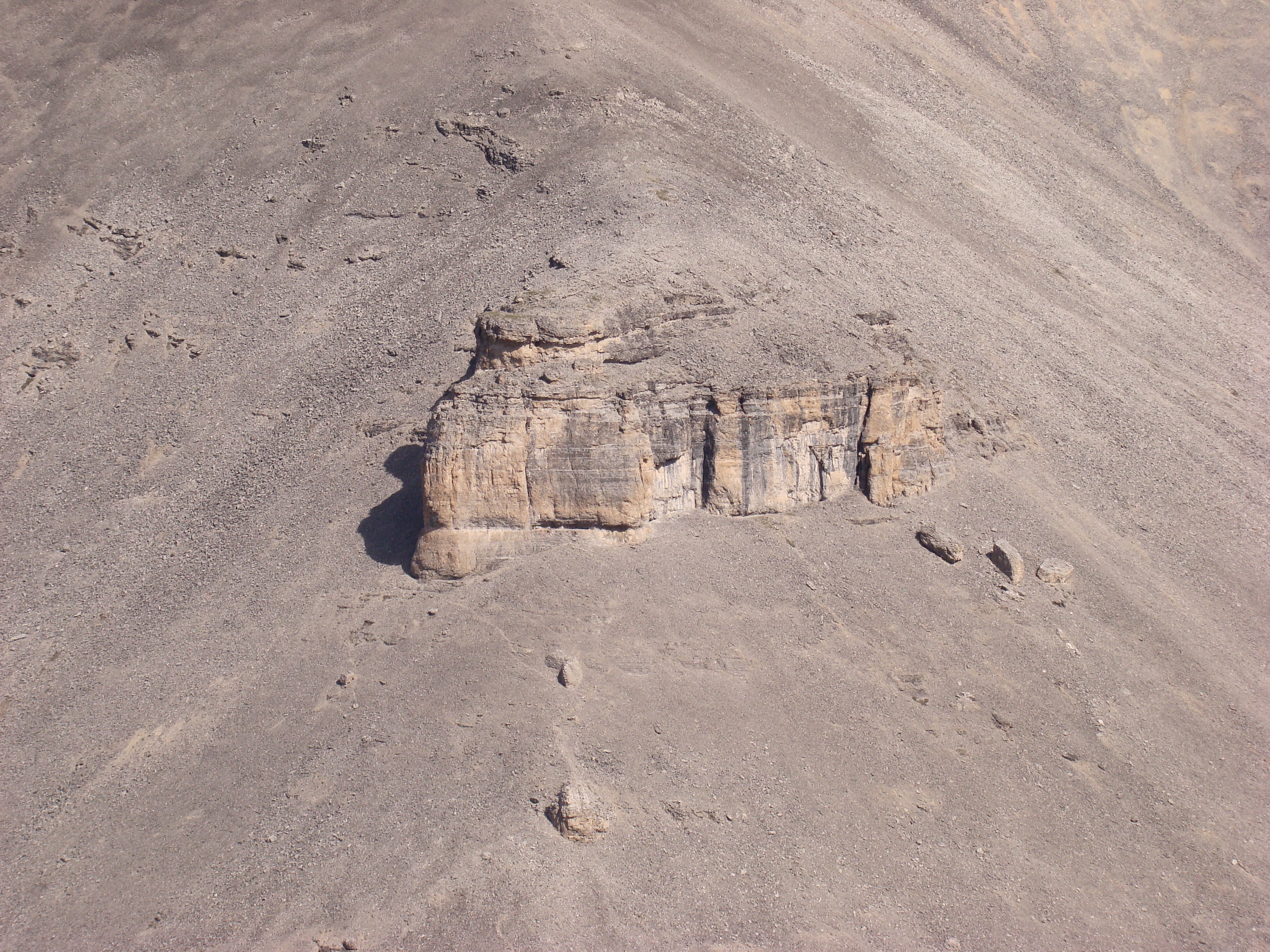
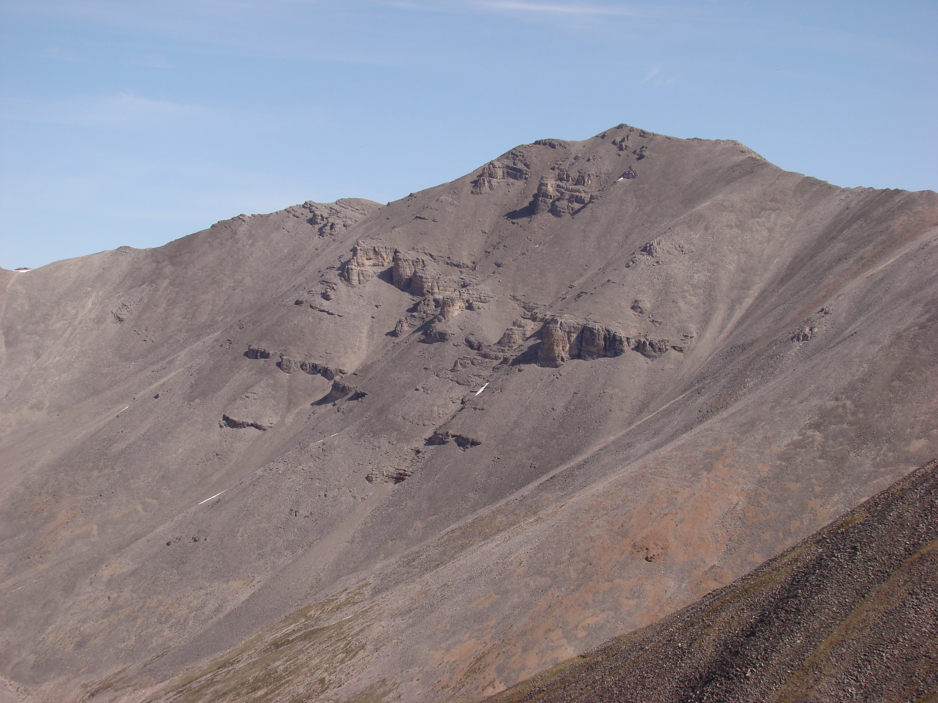
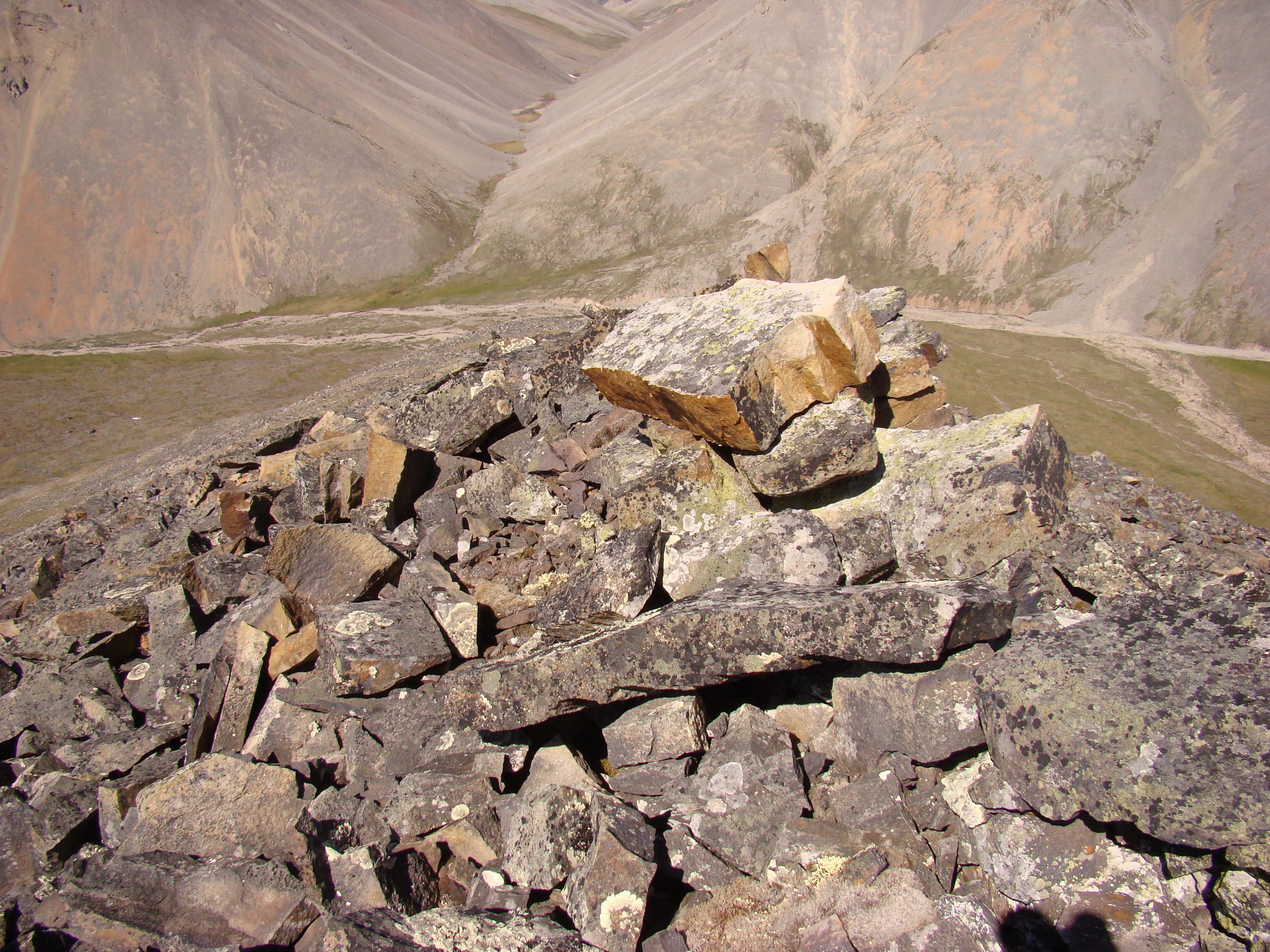
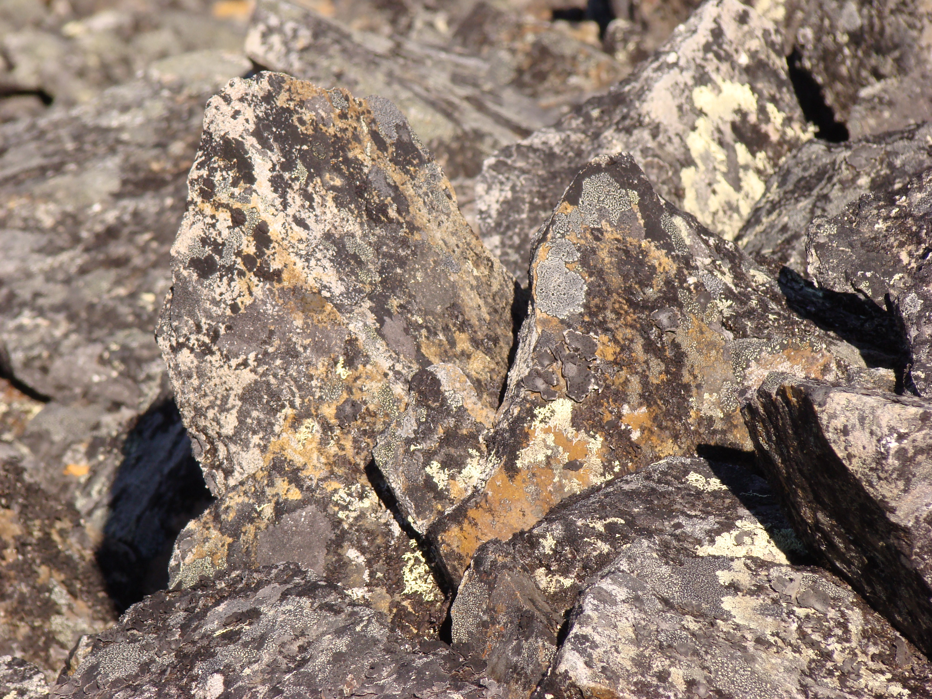
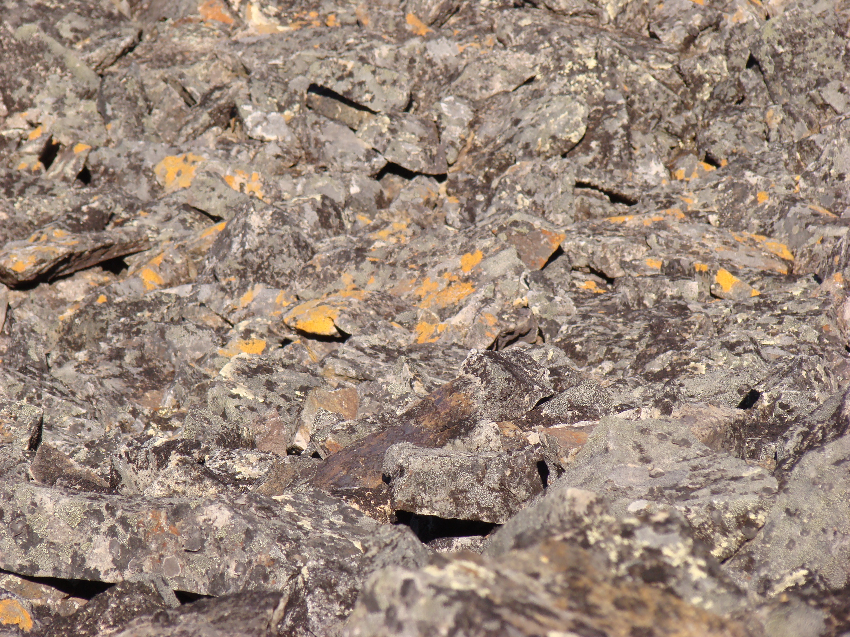
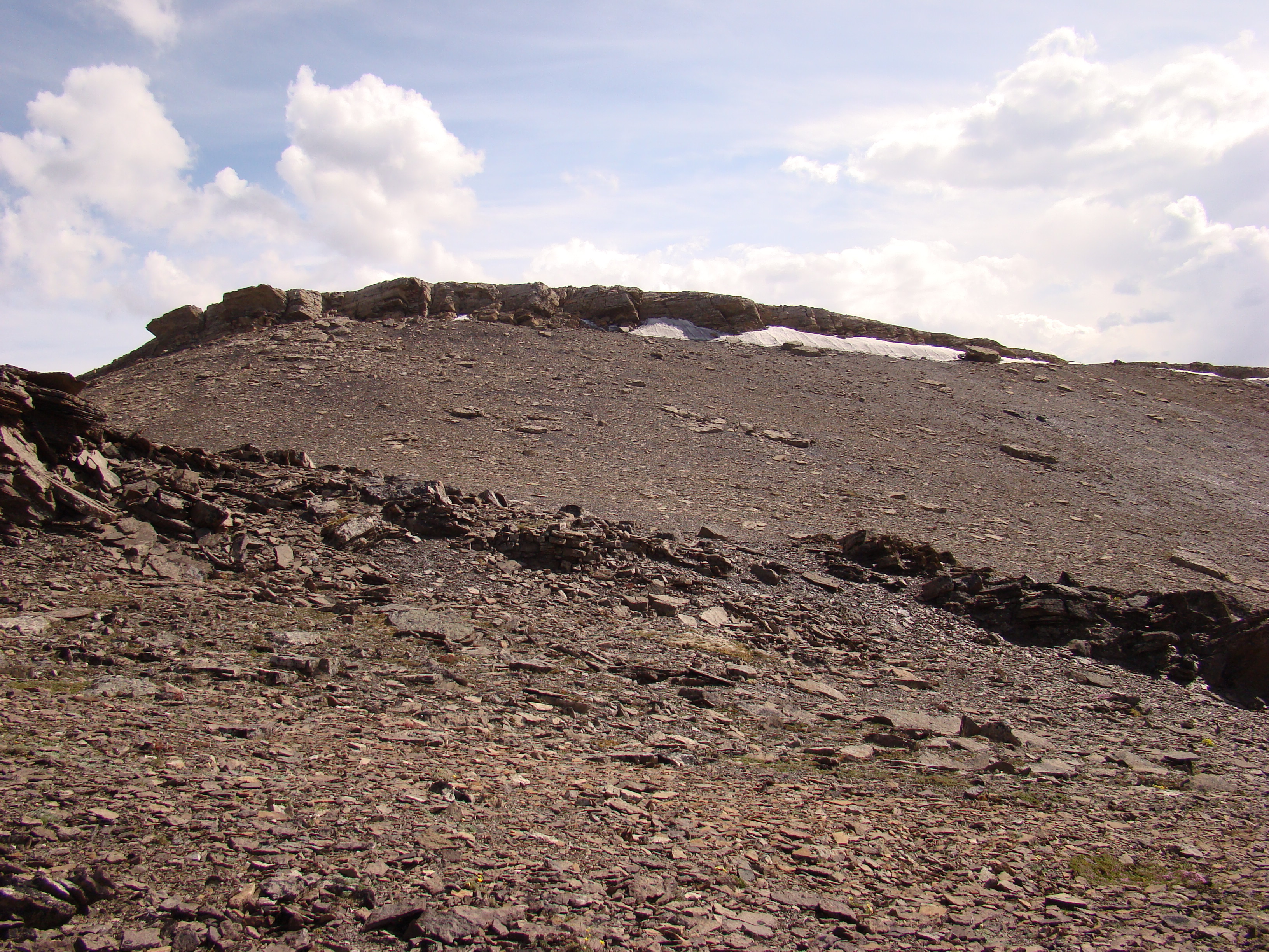
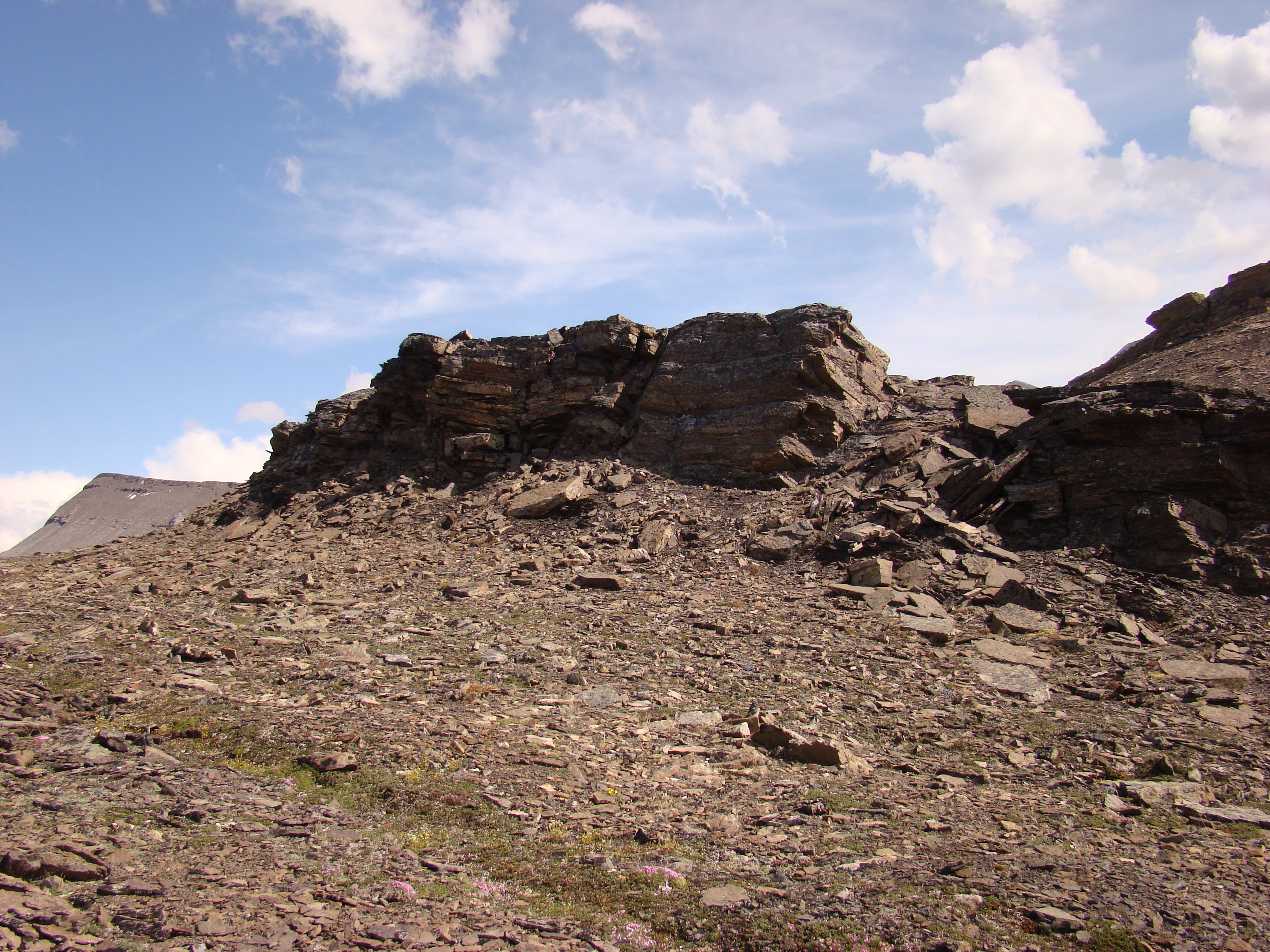
The rock formations were interesting.
This ridge was easy to access and flat on top.
This is the spot I collected Saturday and Sunday. I
am right in a dip at the northeast end of the ridge,
shaped like a bowl. The ground was worn from
Caribou herds.
You can just see the 'trail', the paths up the hill that
had less rocks.
At the same as above, looking toward my
campsite, with the Dalton Highway in the
background.
Same spot, another view.
This shot shows the trail between the rocks.
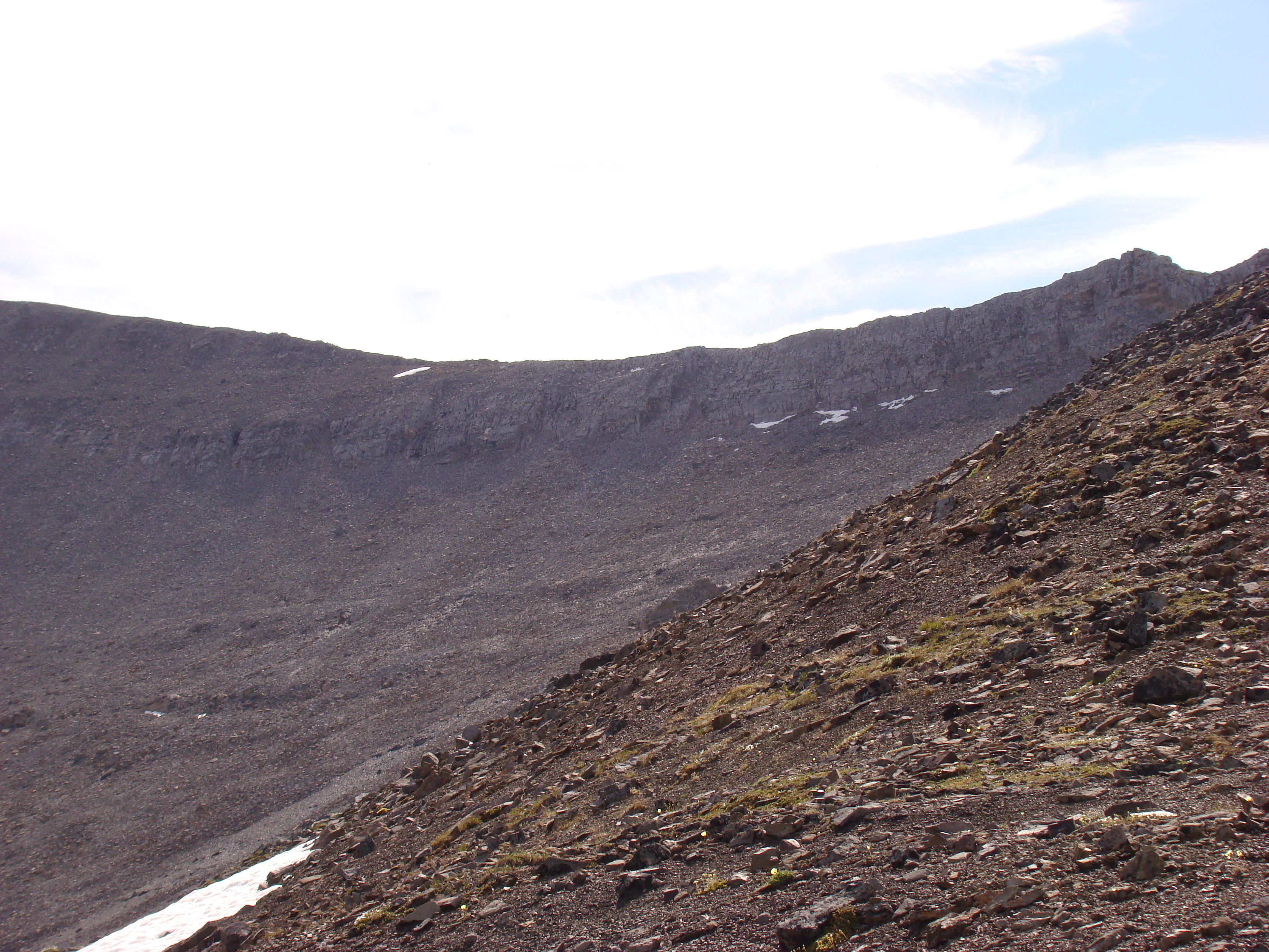
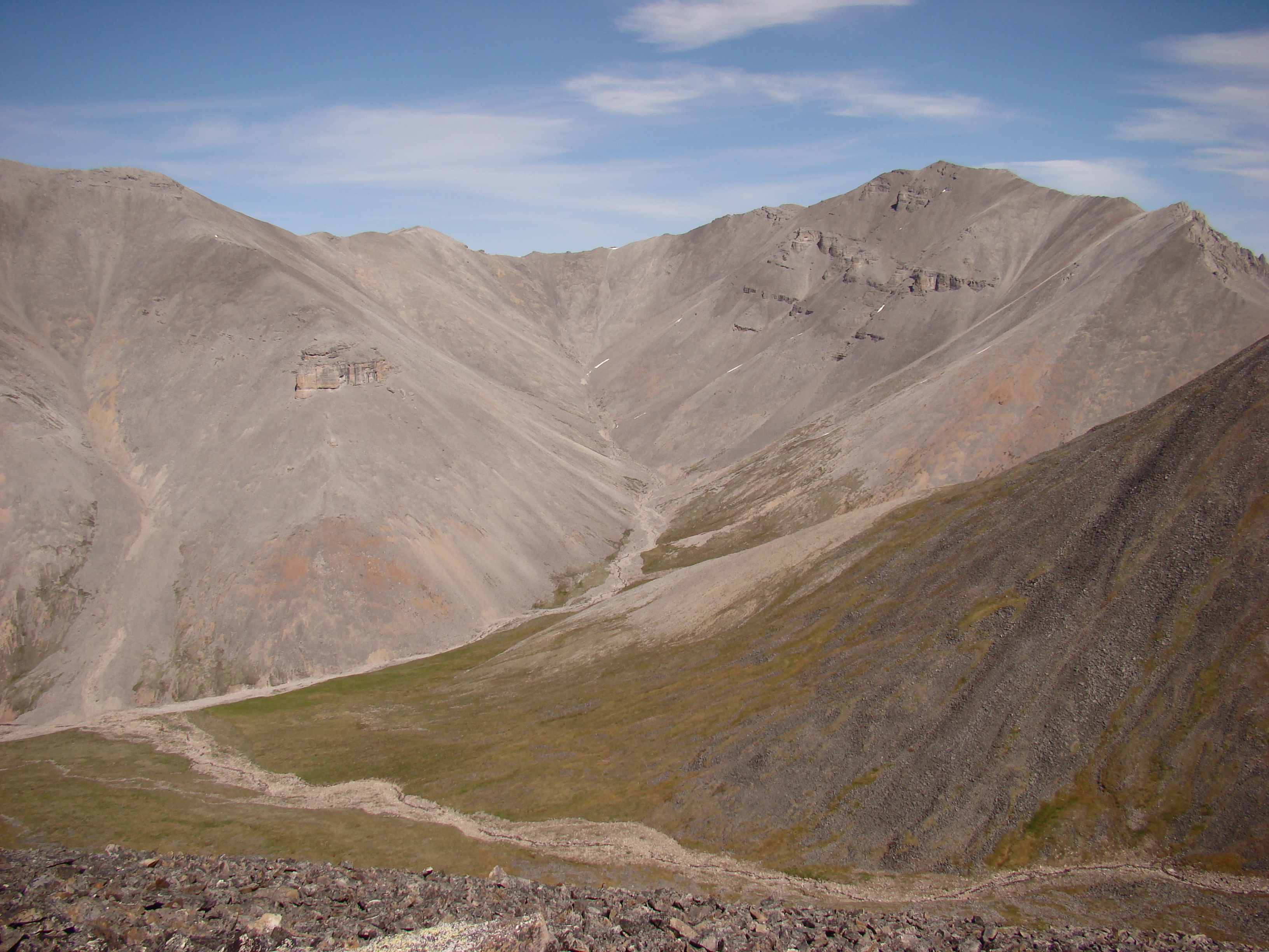
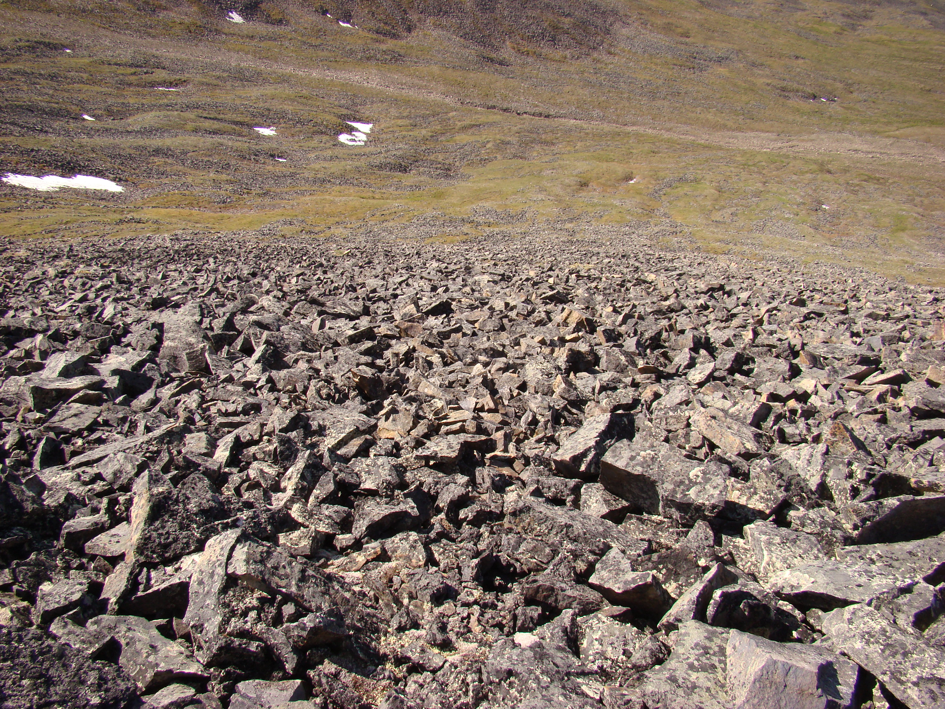
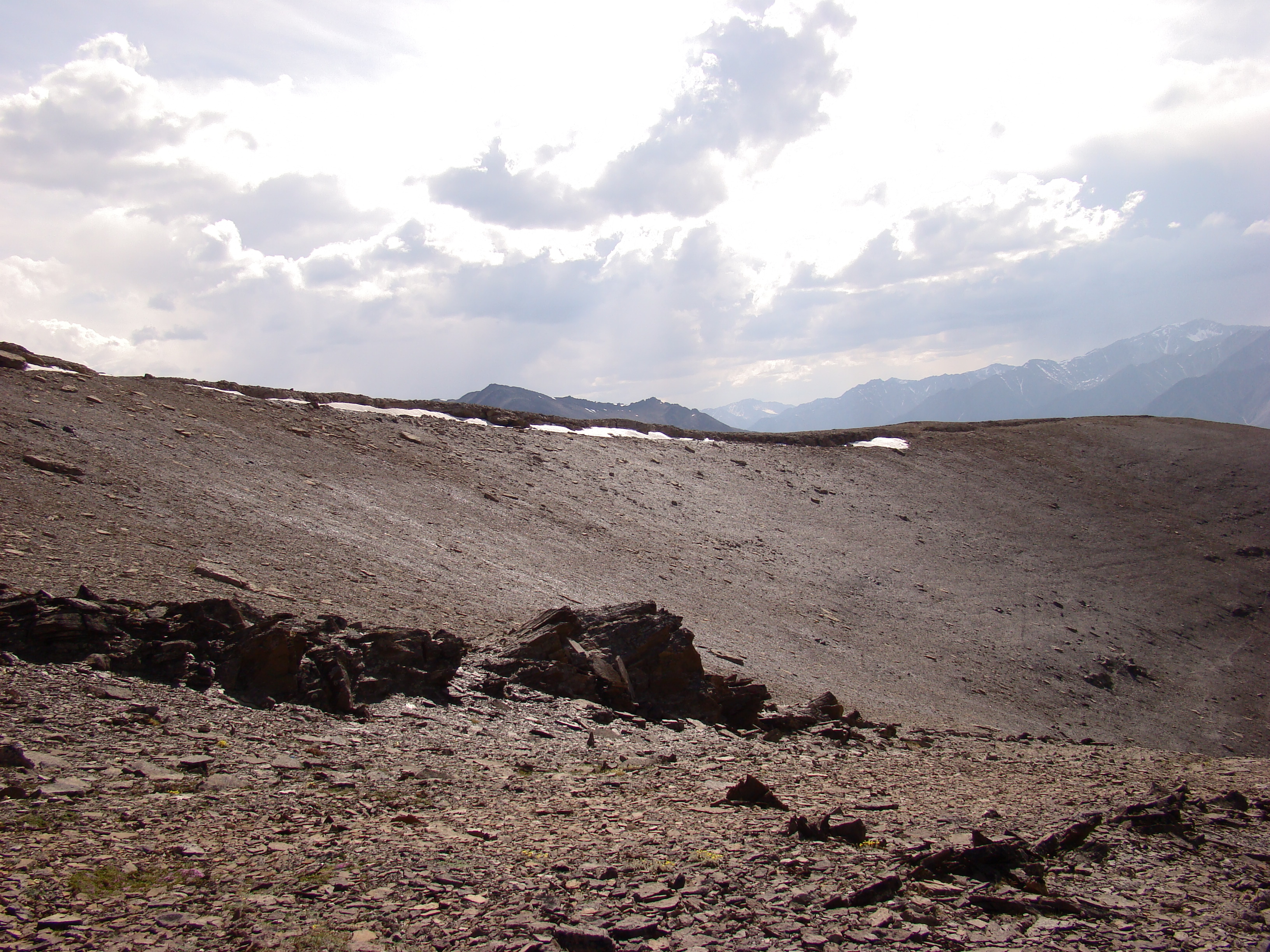
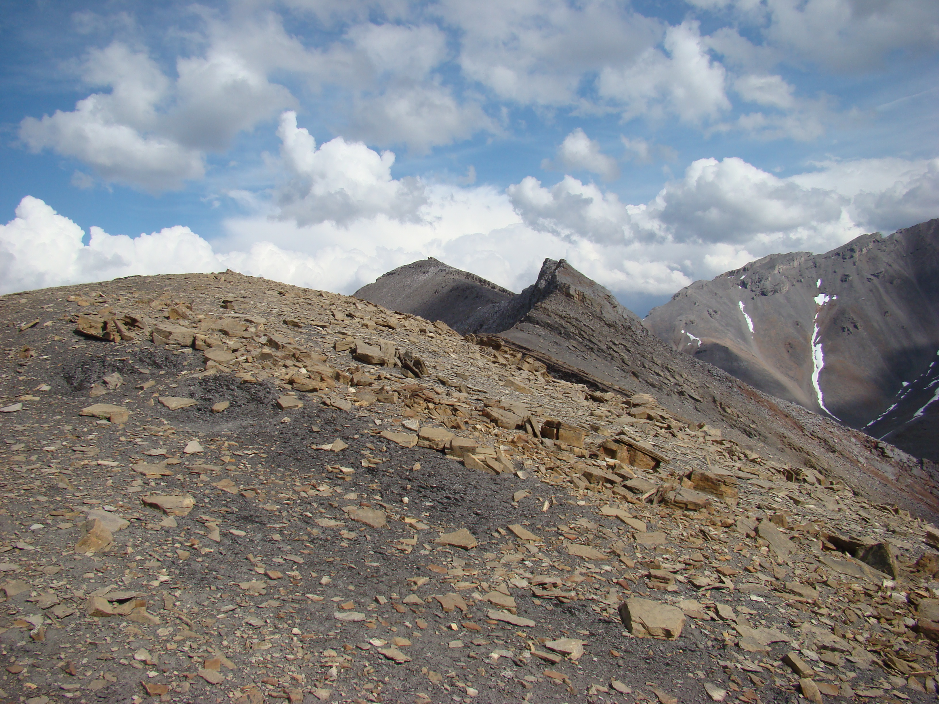
This is the last point on the ridge, which then
slopes to the valley. Remarkably, I could walk
safely on these rocks, even though they seemed
loose and unstable.
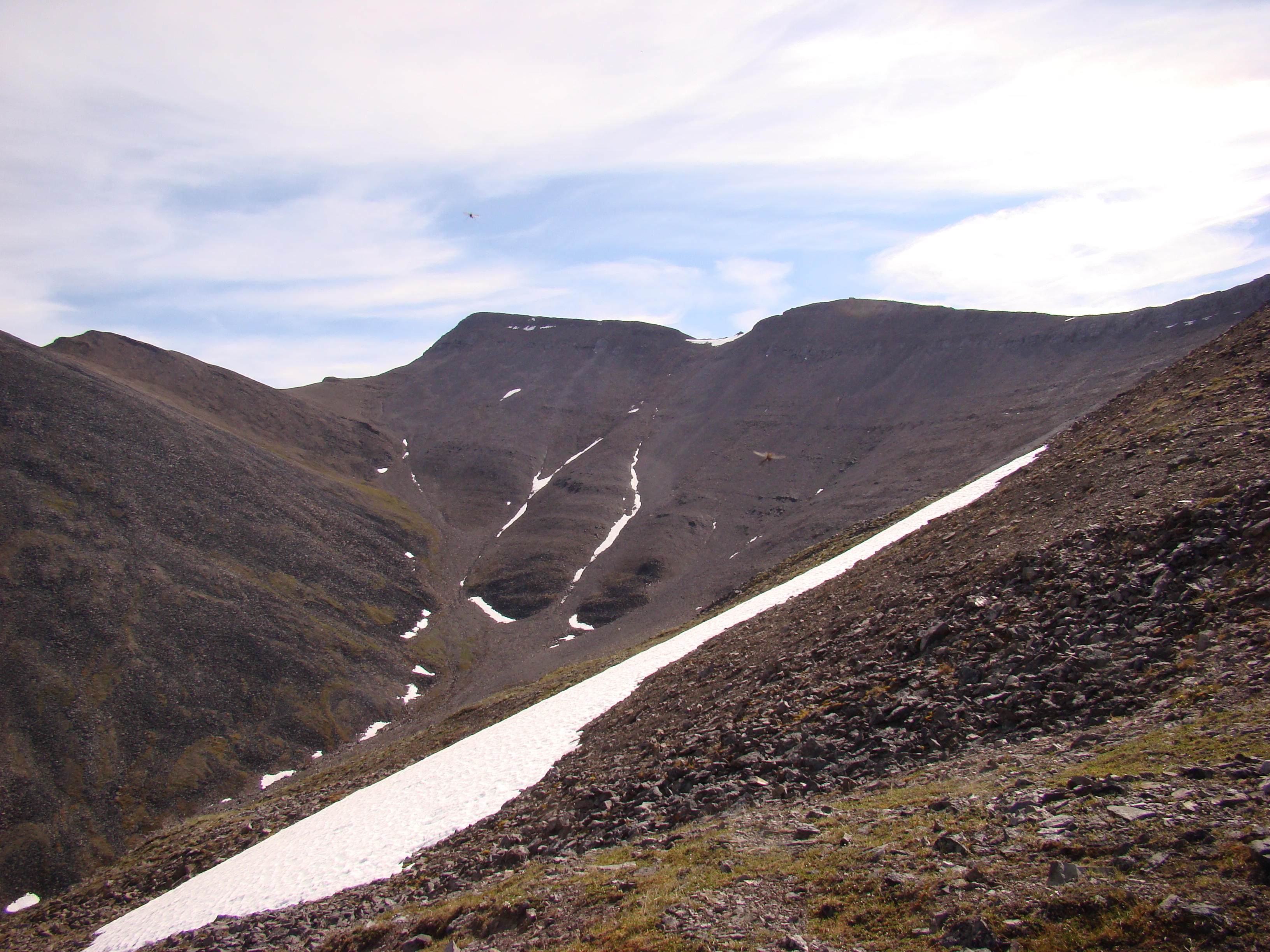
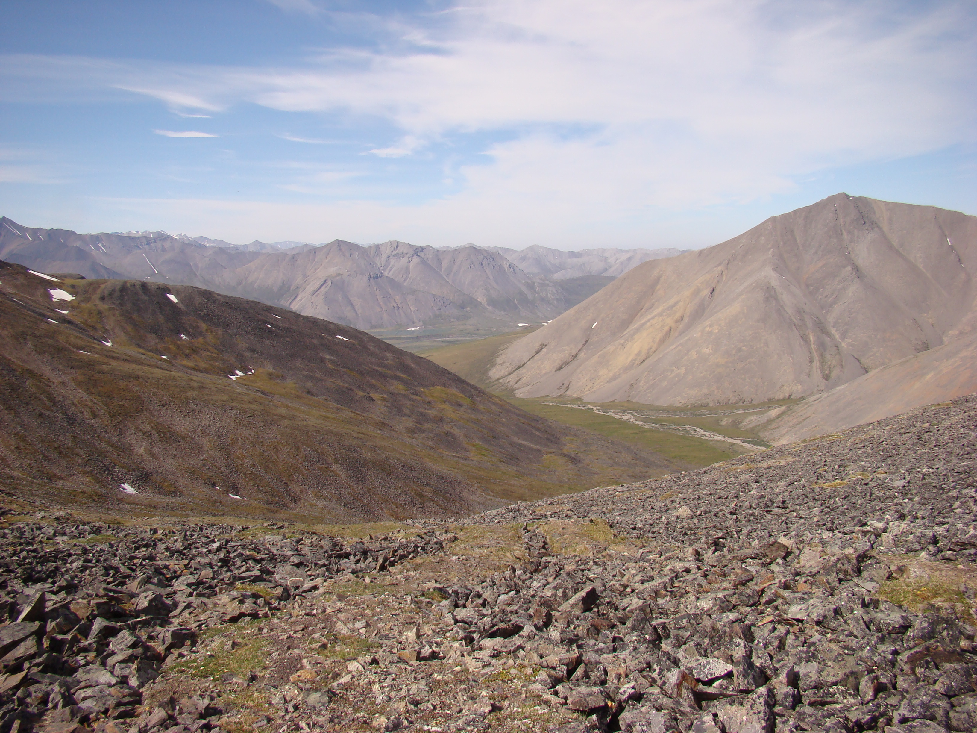
This is east of the ridge. I would not go this far.
Part of a panorama from the ridge.
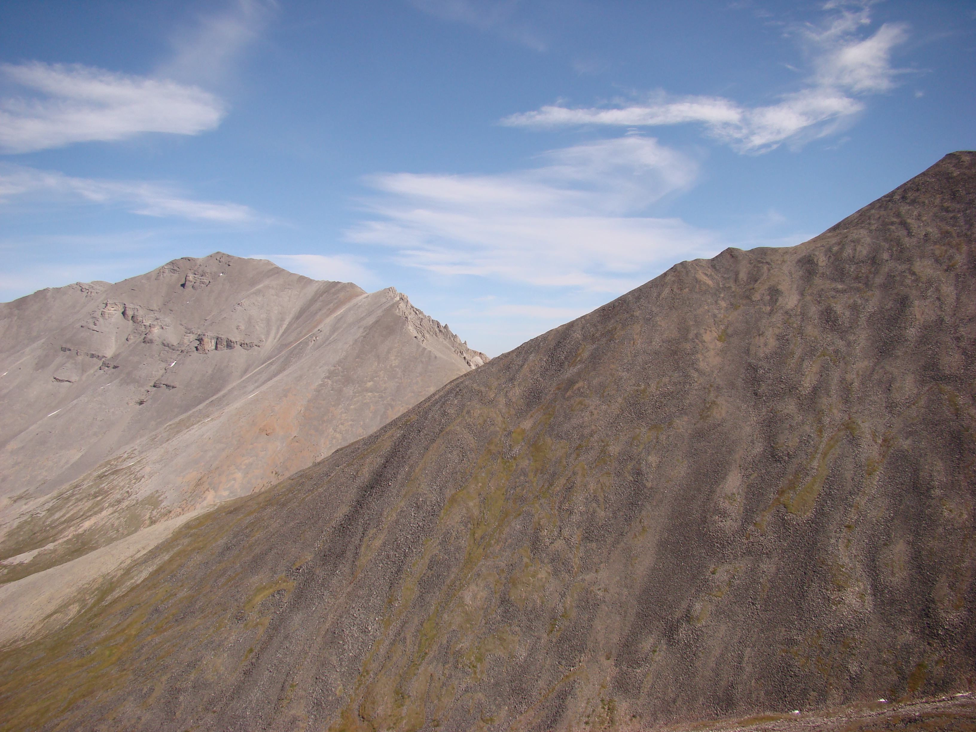
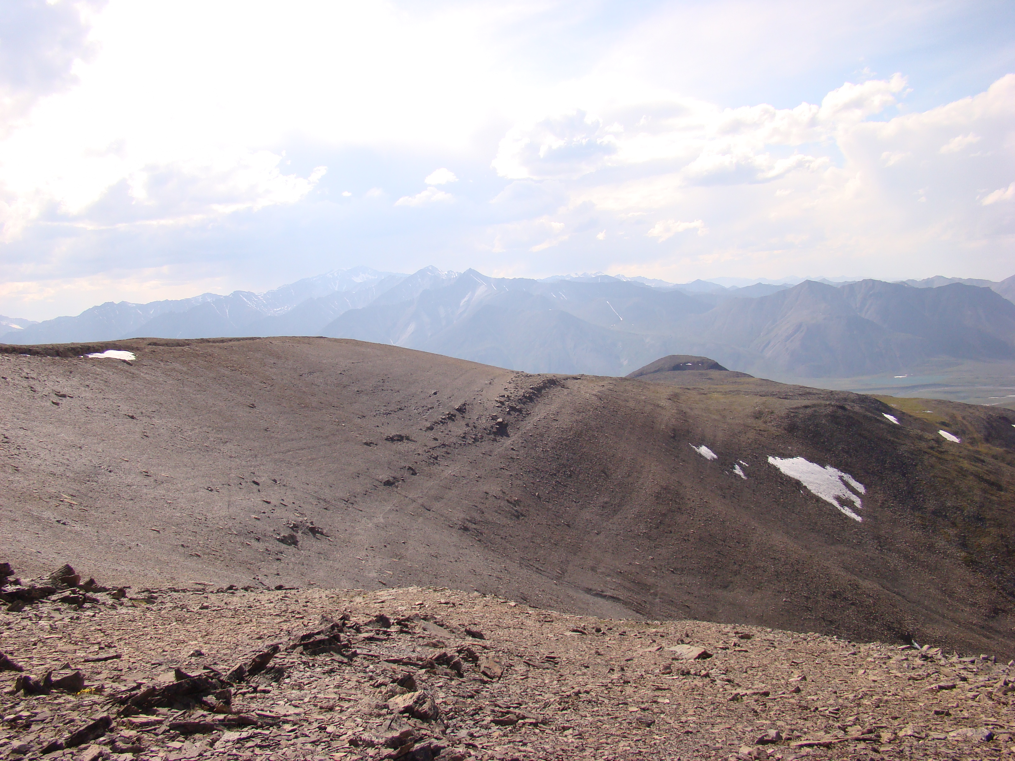
Now, I am on the last point, looking east. I could
not scramble over that far point, as the rocks were
unstable. But I did go around to access the main
ridge, where I saw the Dall sheep.
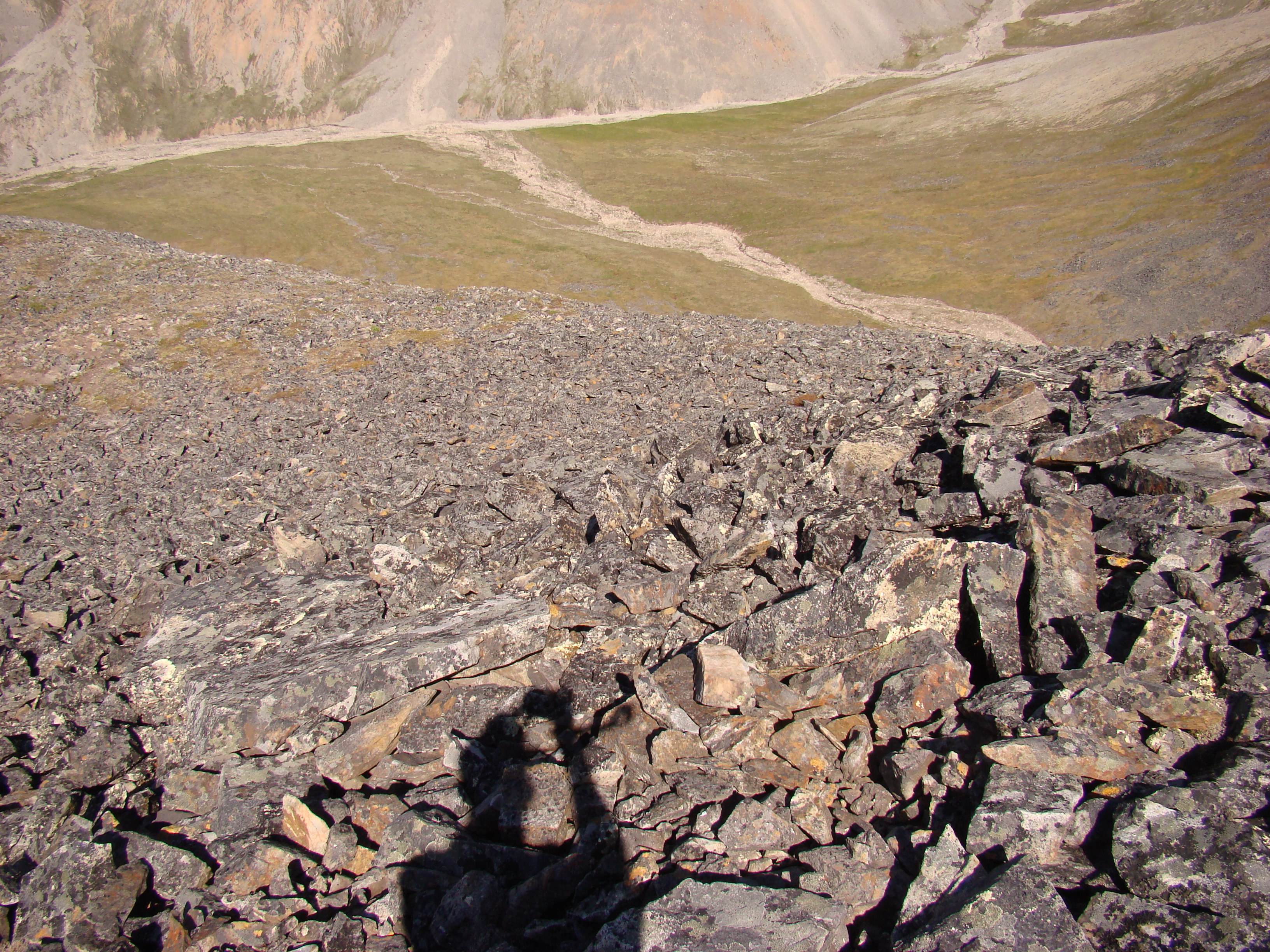
Looking down to the wash that drains the center of
the bowl.
This is the center of the bowl. Very accessible and
easy to hike. In fact, it was much harder to access
the spot I took these photographs, despite the
lower elevation.
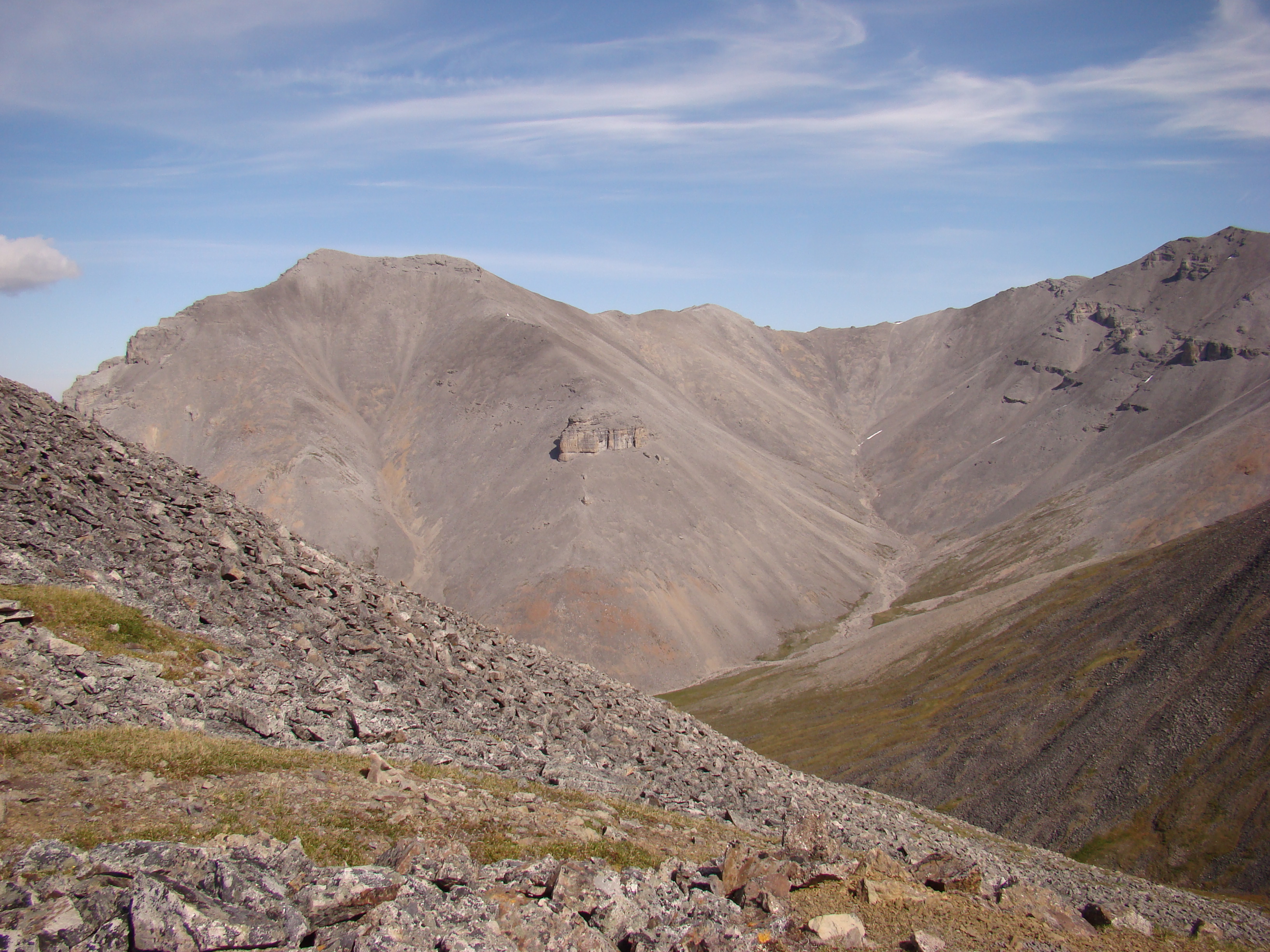
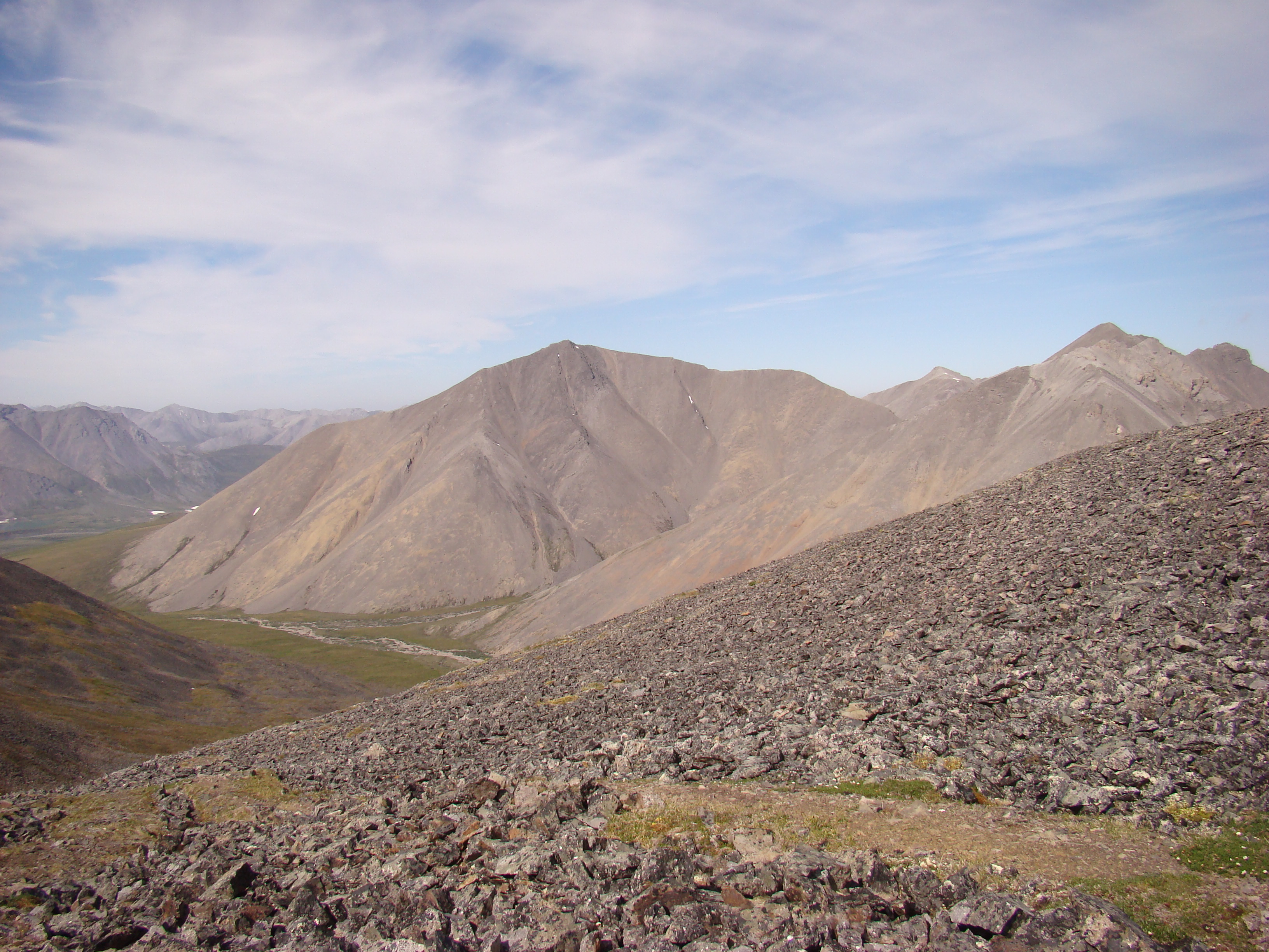
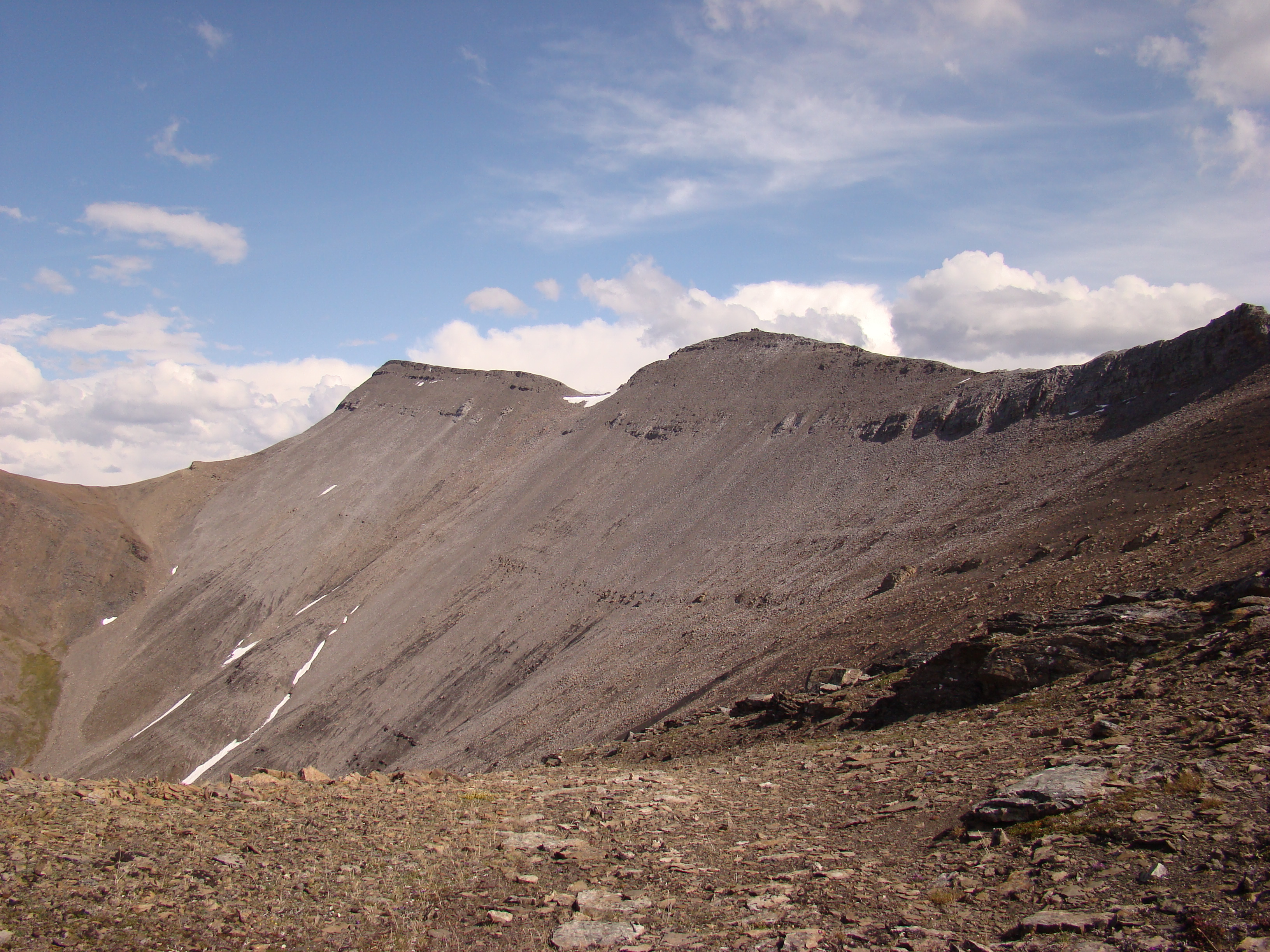
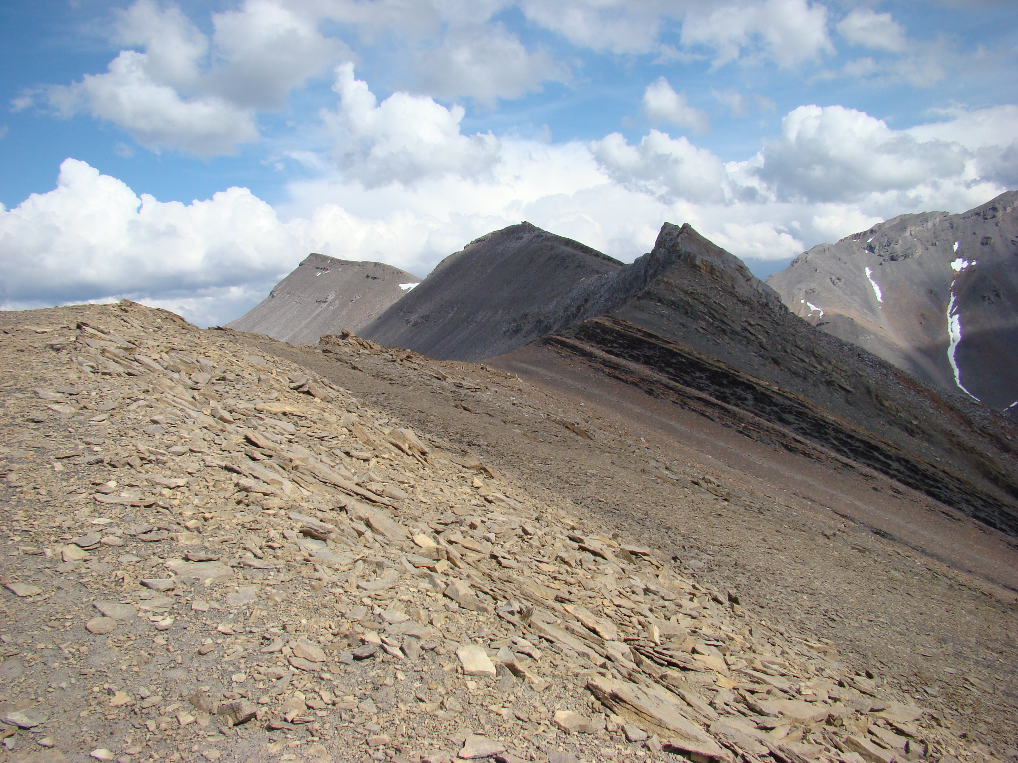
The far ridge is continuous with the ridge to the
right, shown in the previous photograph.
I am still at the same spot, collecting O. melissa
and B. astarte distincta.
The rocks forming the ridge.
B. astarte distincta frequently landed on these
rocks, to me, blending with the lichen.
This was at the base of the ridge.
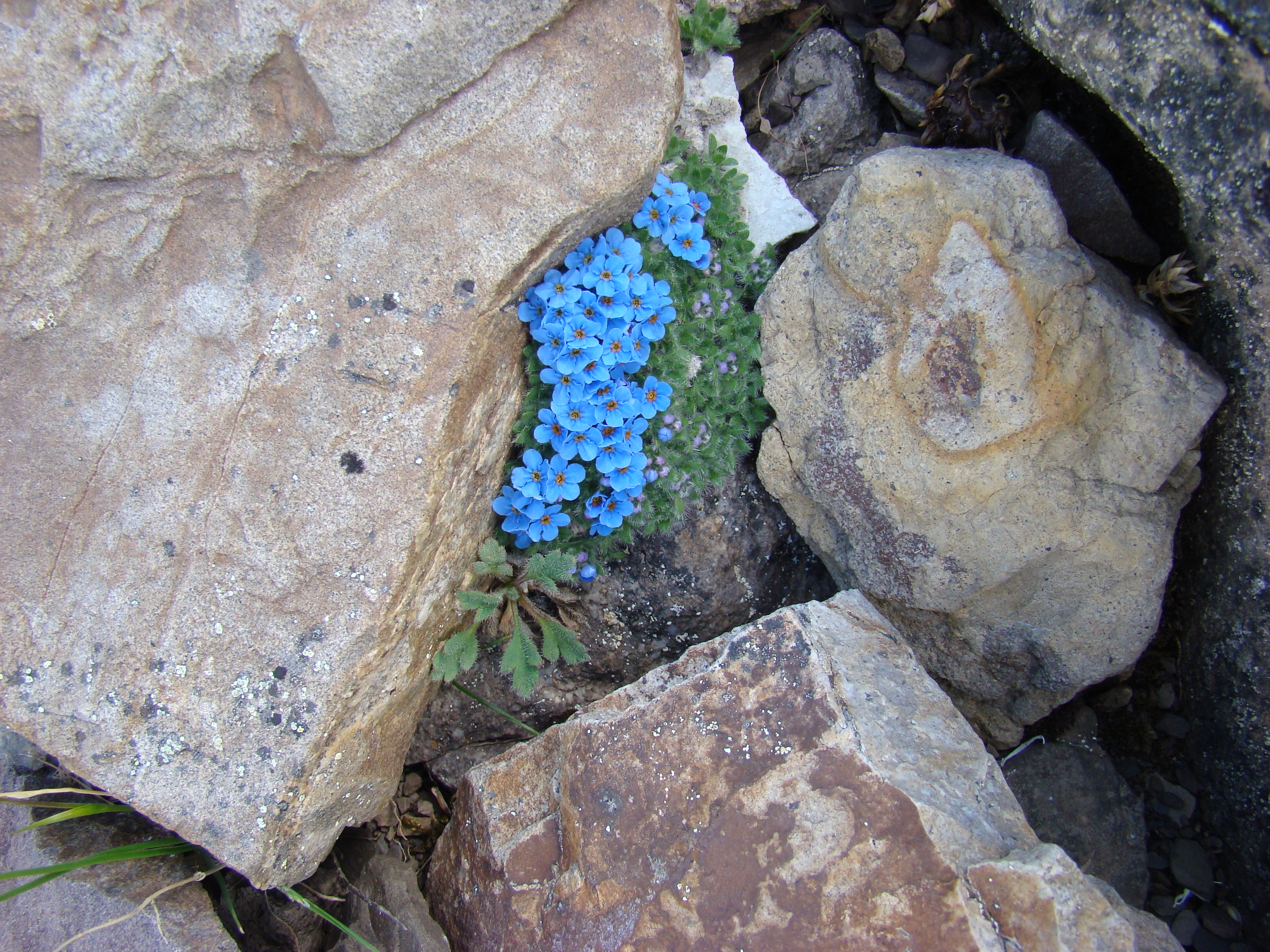
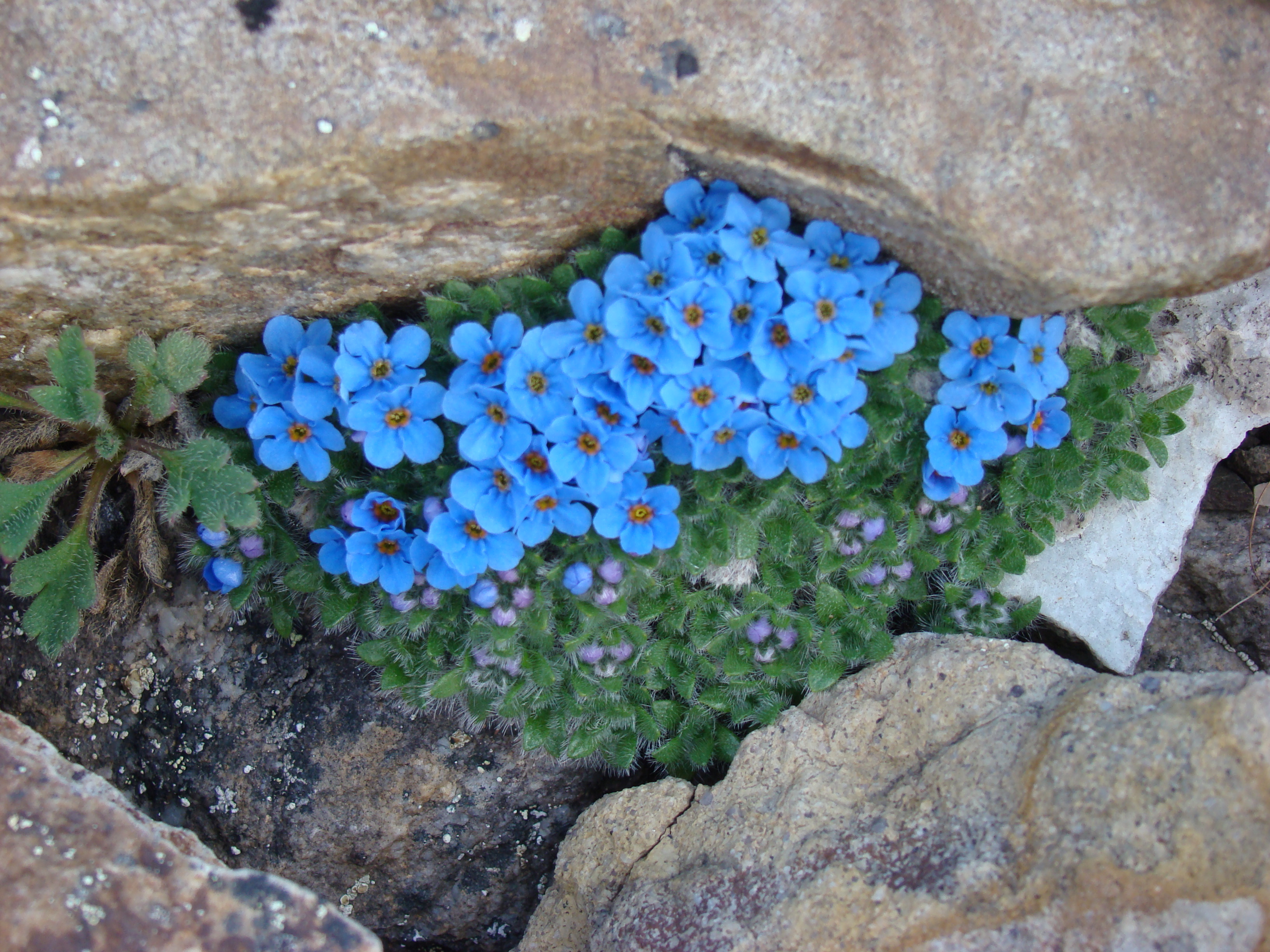
Found this at about 5000 feet. I think this is an
alpine Forget-Me-Not, Myosotis alpestris, Alaksa's
state flower. Very pretty.
Now I have moved to the south from the B. astarte
spot. This is just to the left of the center of the
bowl.
Looking at the center of the ridge.
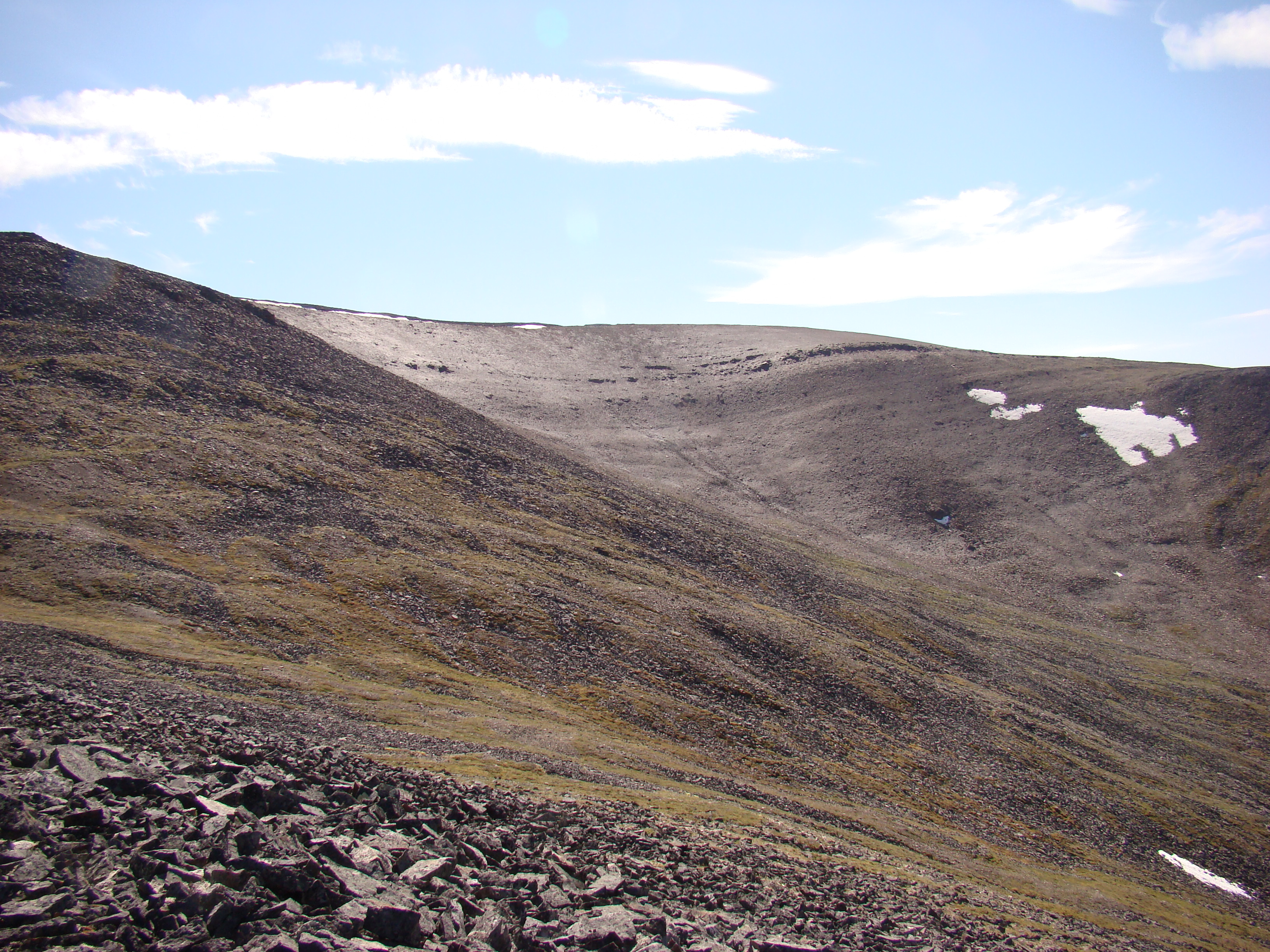
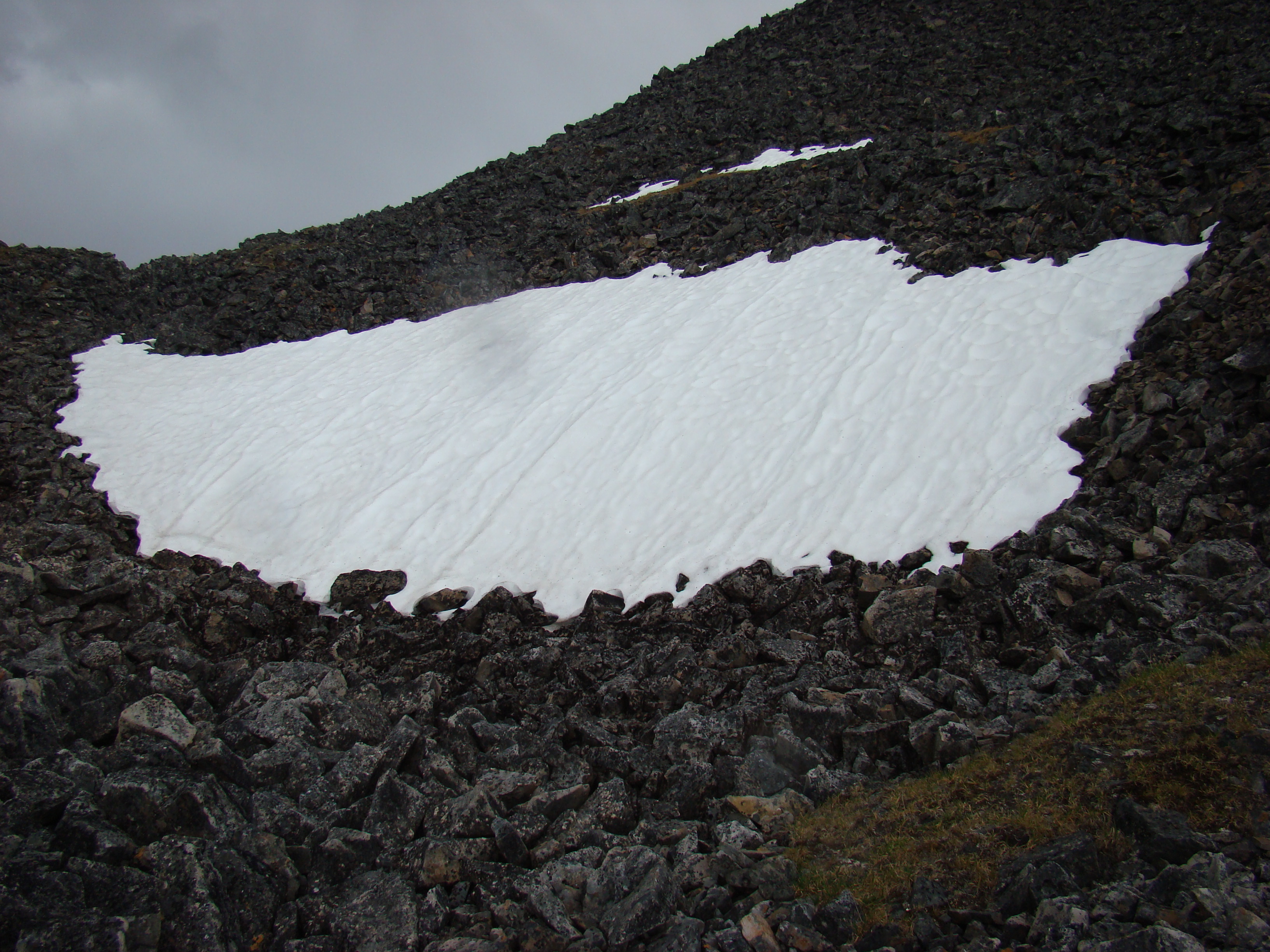
I was amazed at how smooth the terrain was just
beneath the bowl. These rocks were packed very
tightly.
Now I am on the center ridge.
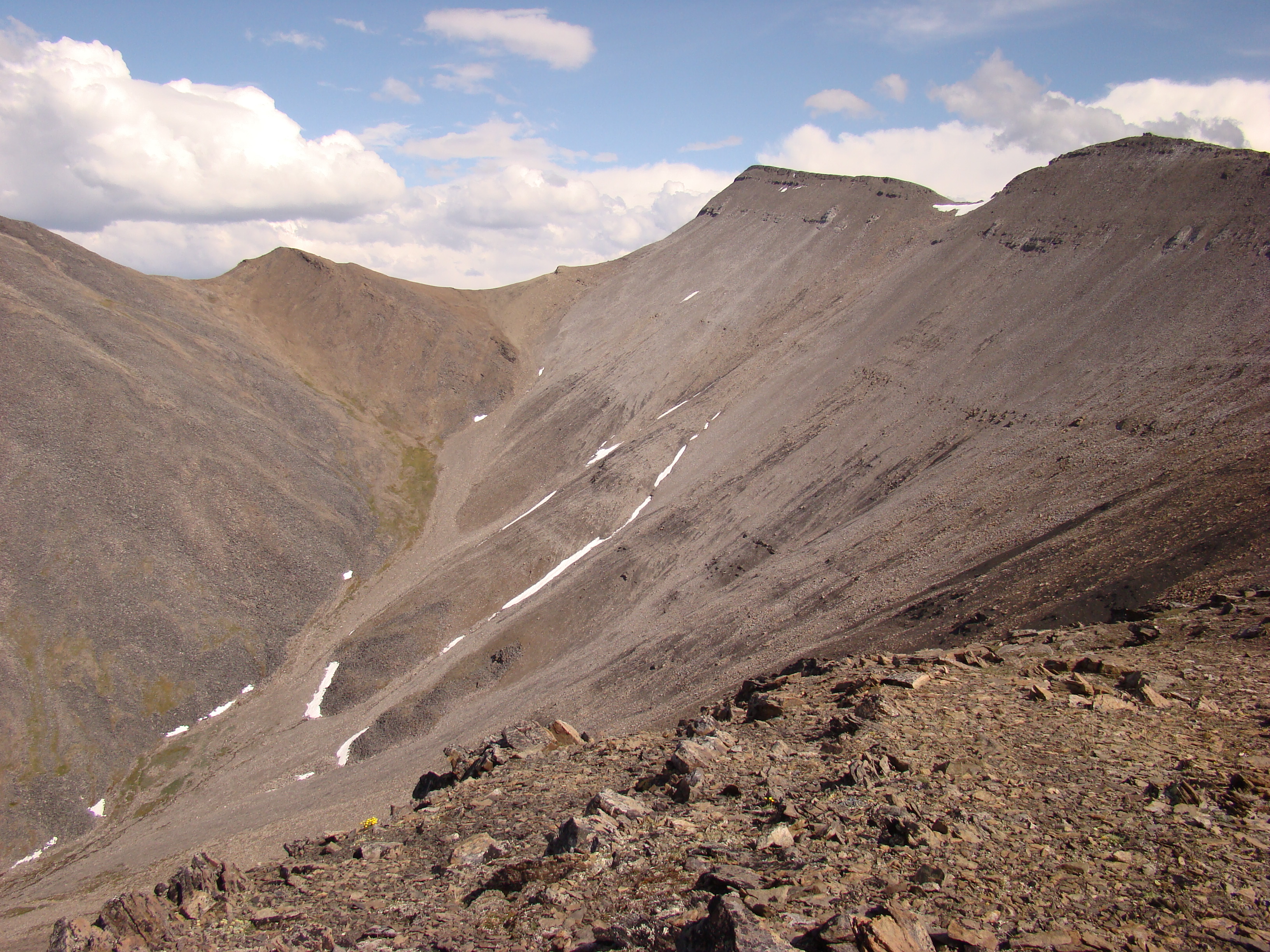
Looking back to the northeast.
The eastern part of the ridge.
Another view of the above ridge.
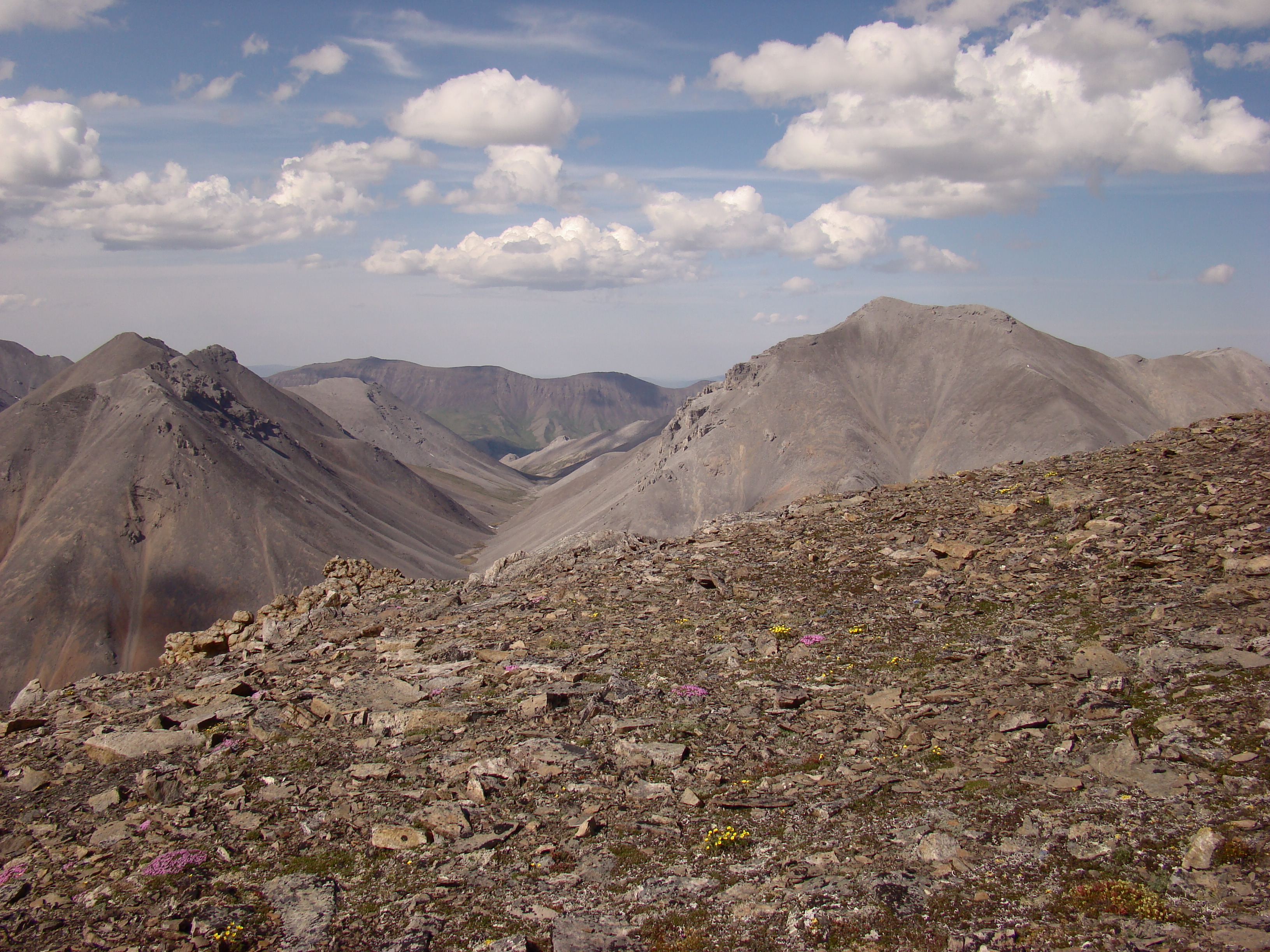
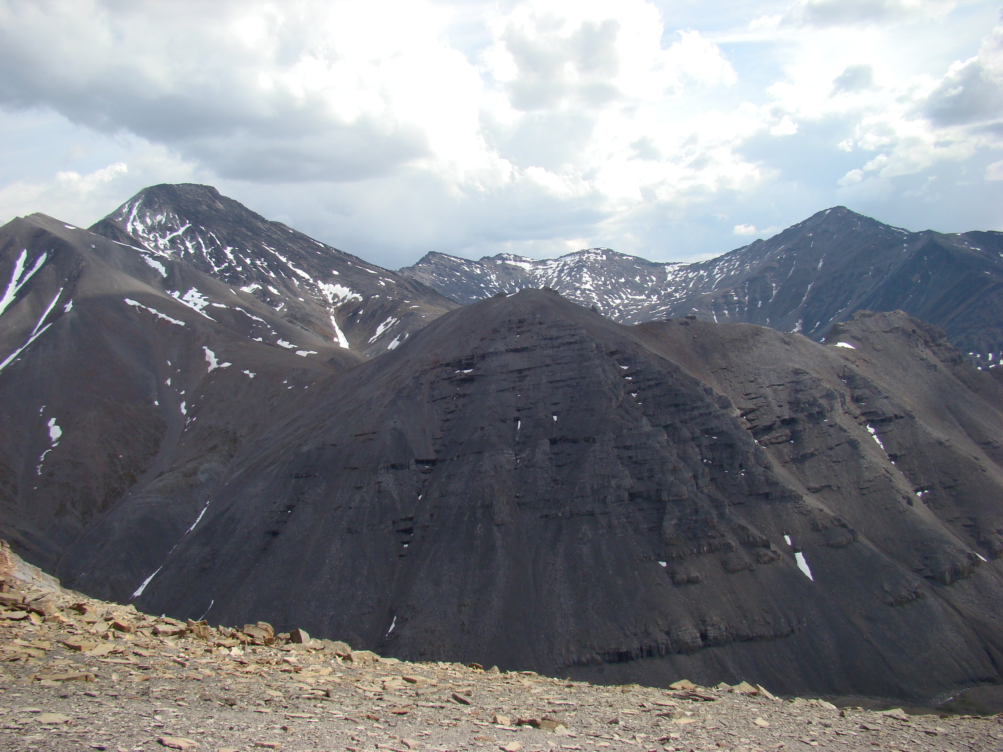
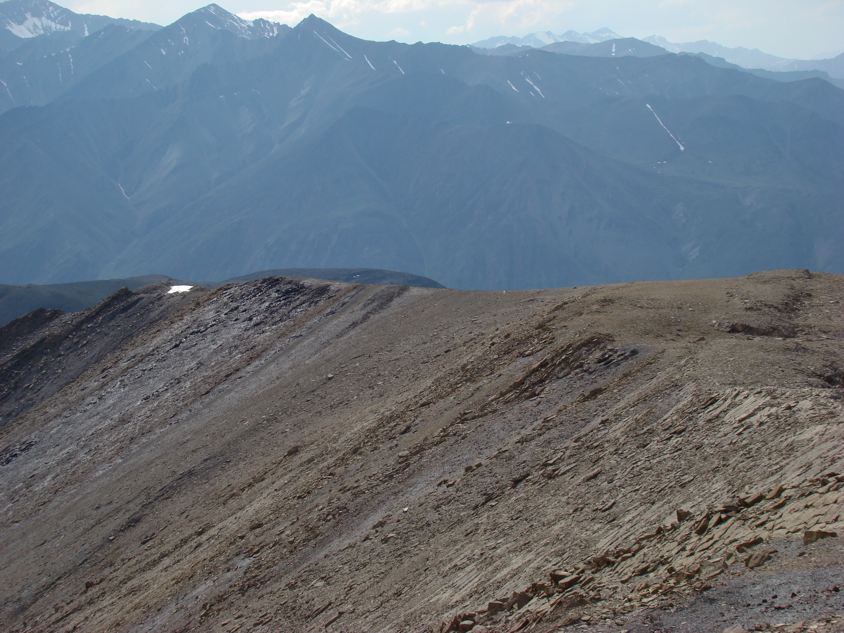
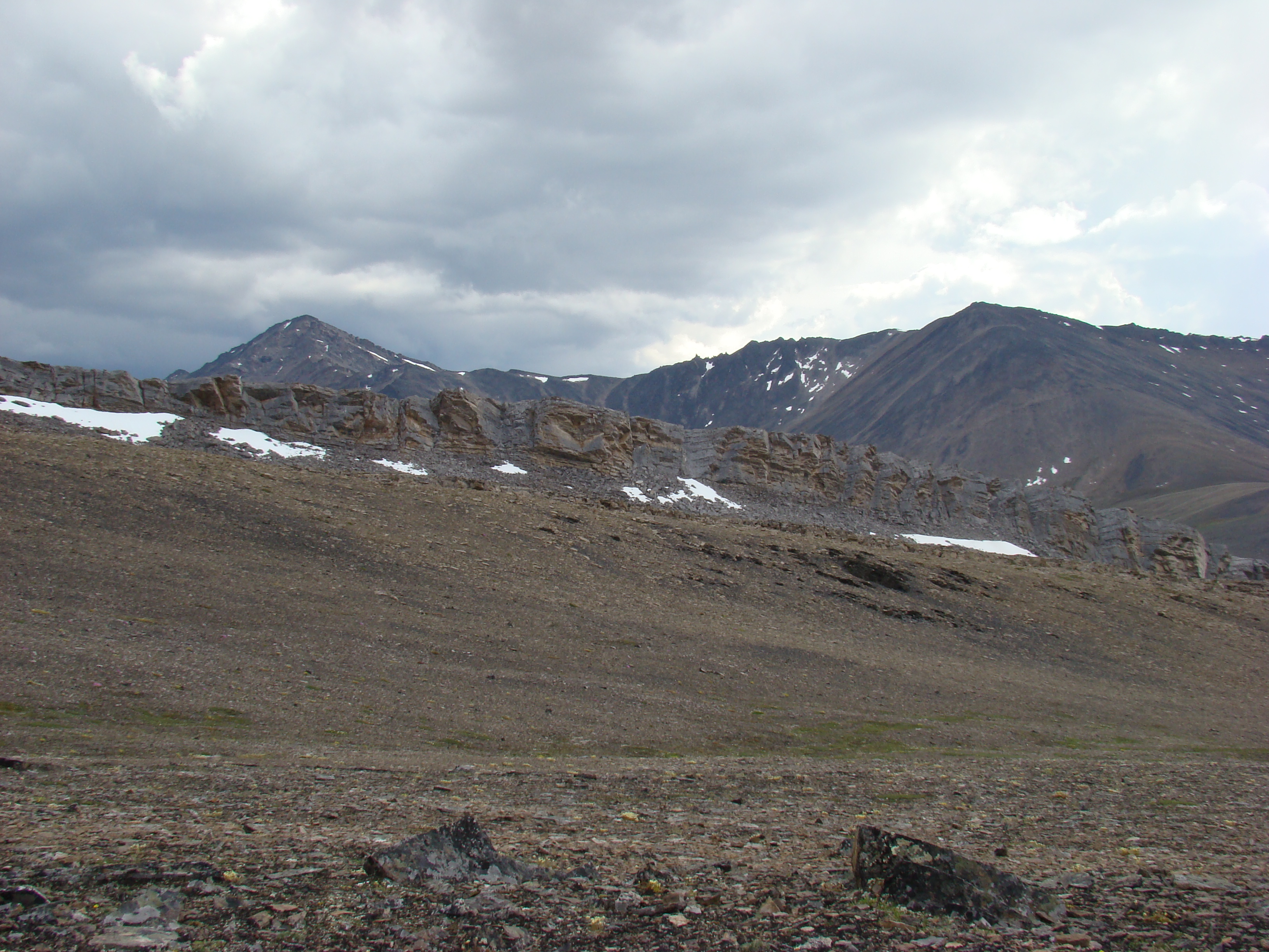
This is looking east toward the heart of the Brooks
Range. These peaks are around 7000 feet.
The far creek snakes around to meet the creek to
the north (behind me). Earlier, I showed the
confluence of the two, just below my campsite.
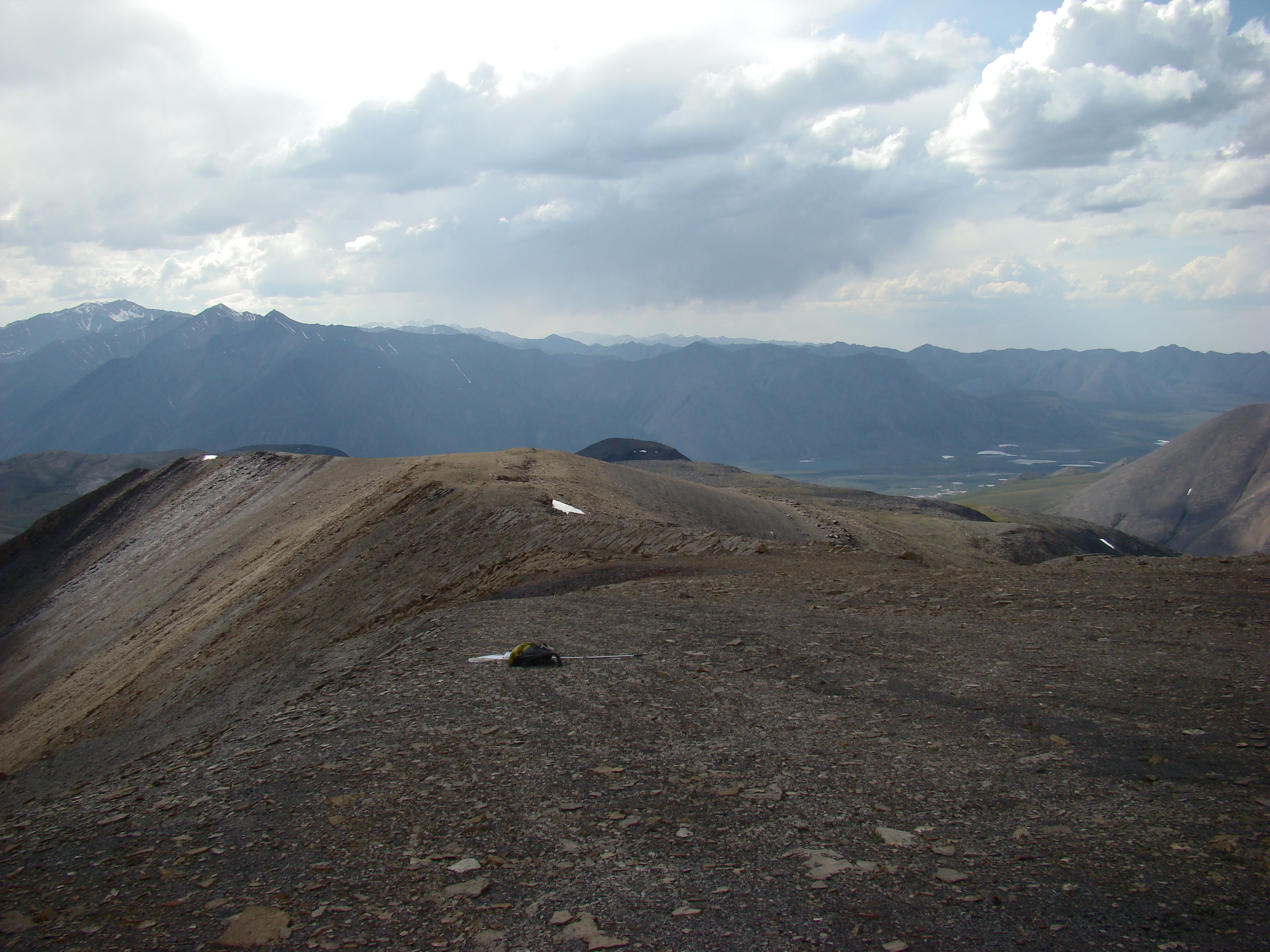
What a flat ridge. So easy to hike, like walking on a sidewalk.
Nice shot of the very center of the bowl.
My pack and net on the ridge.
This area is as big as a football field.
Another shot of the ridge.
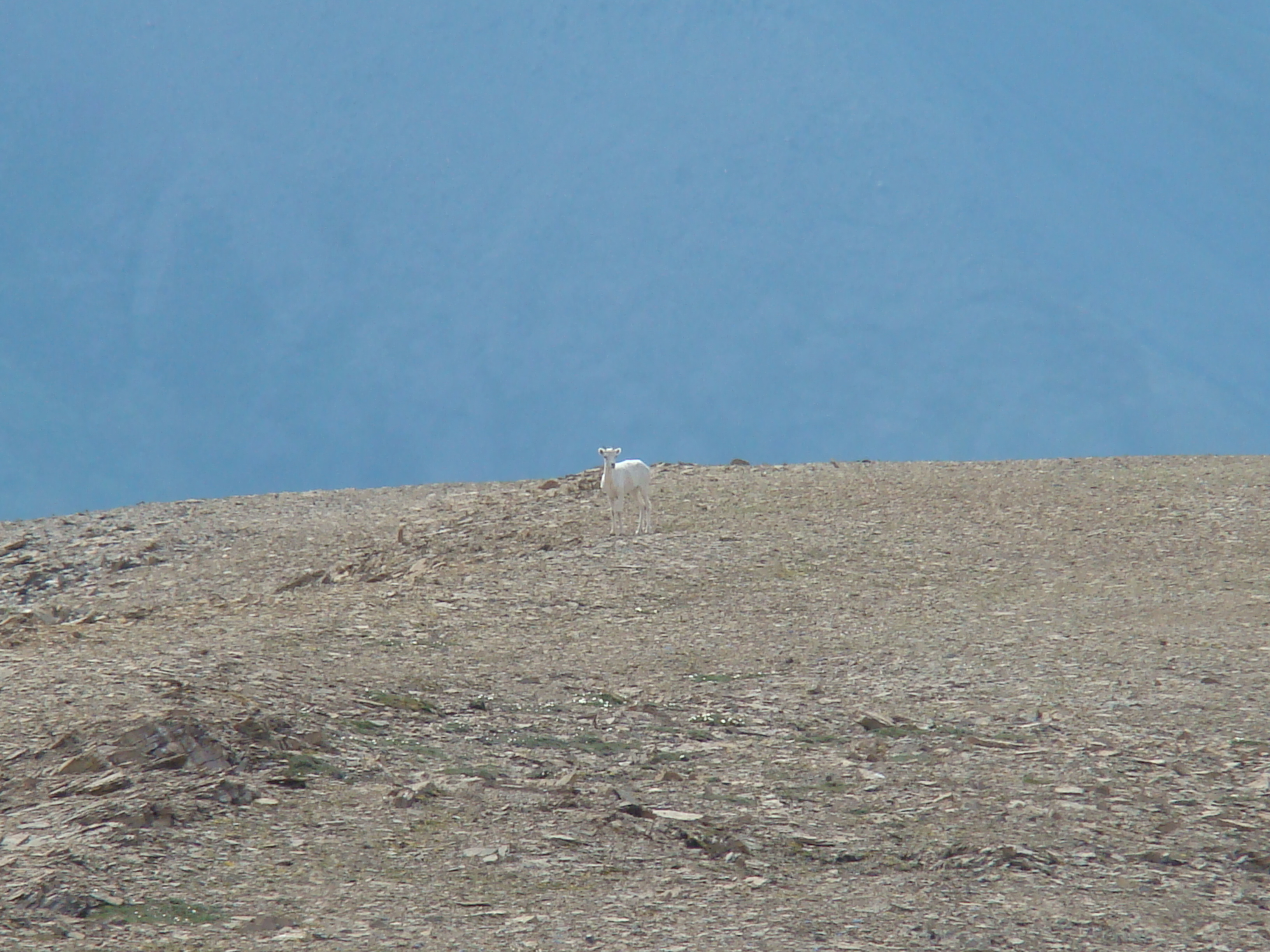
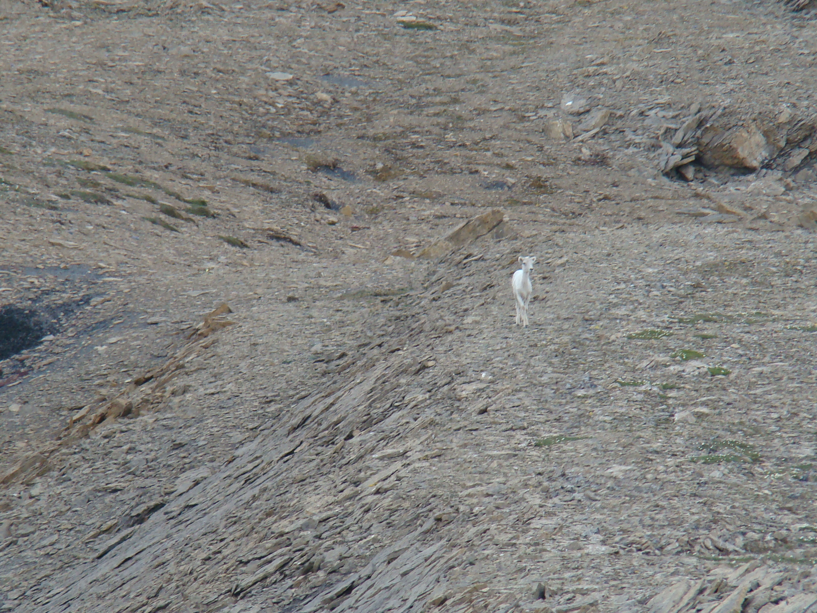
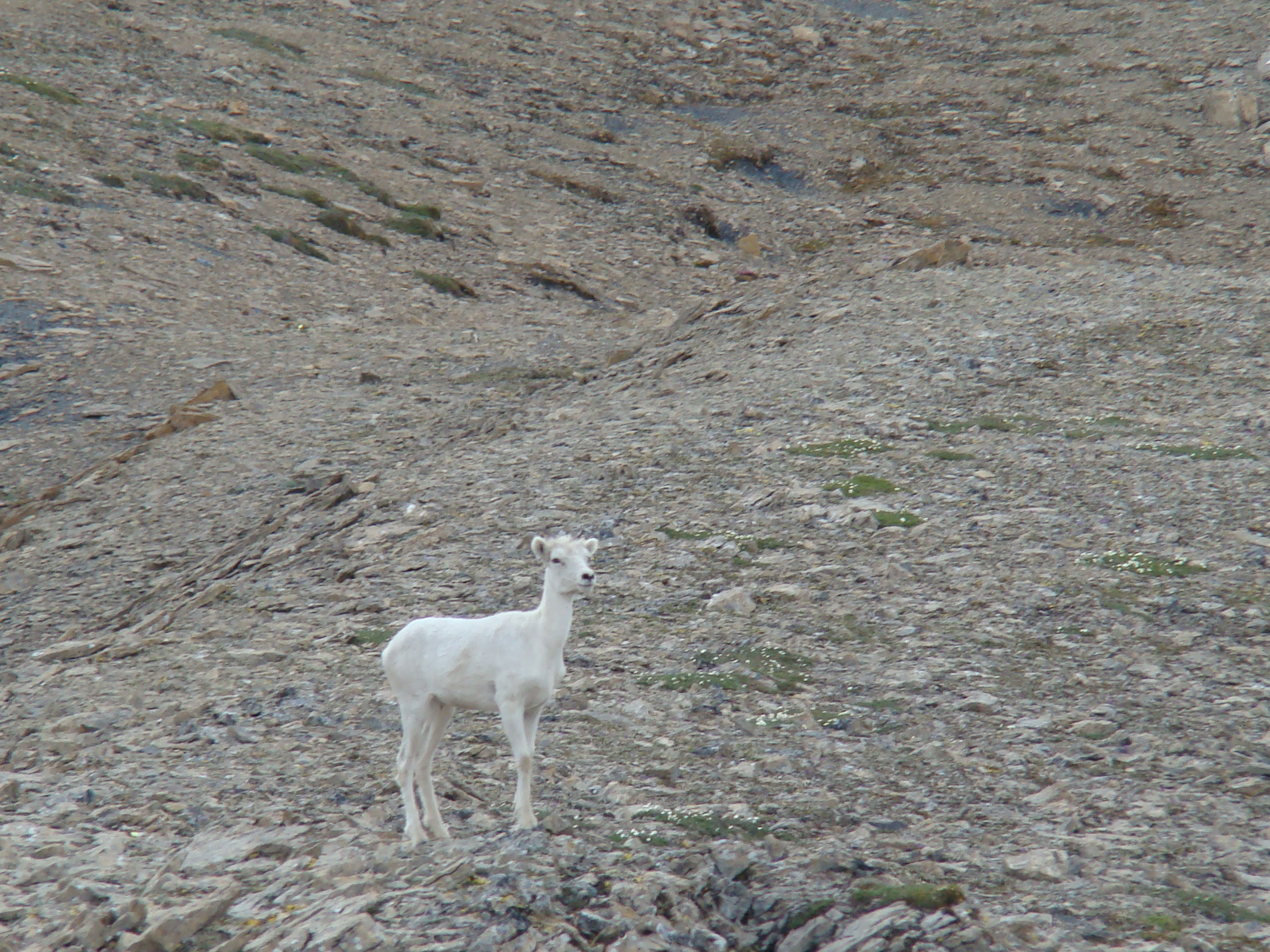
This Dall sheep passed within 30 feet, walking the
ridge line.
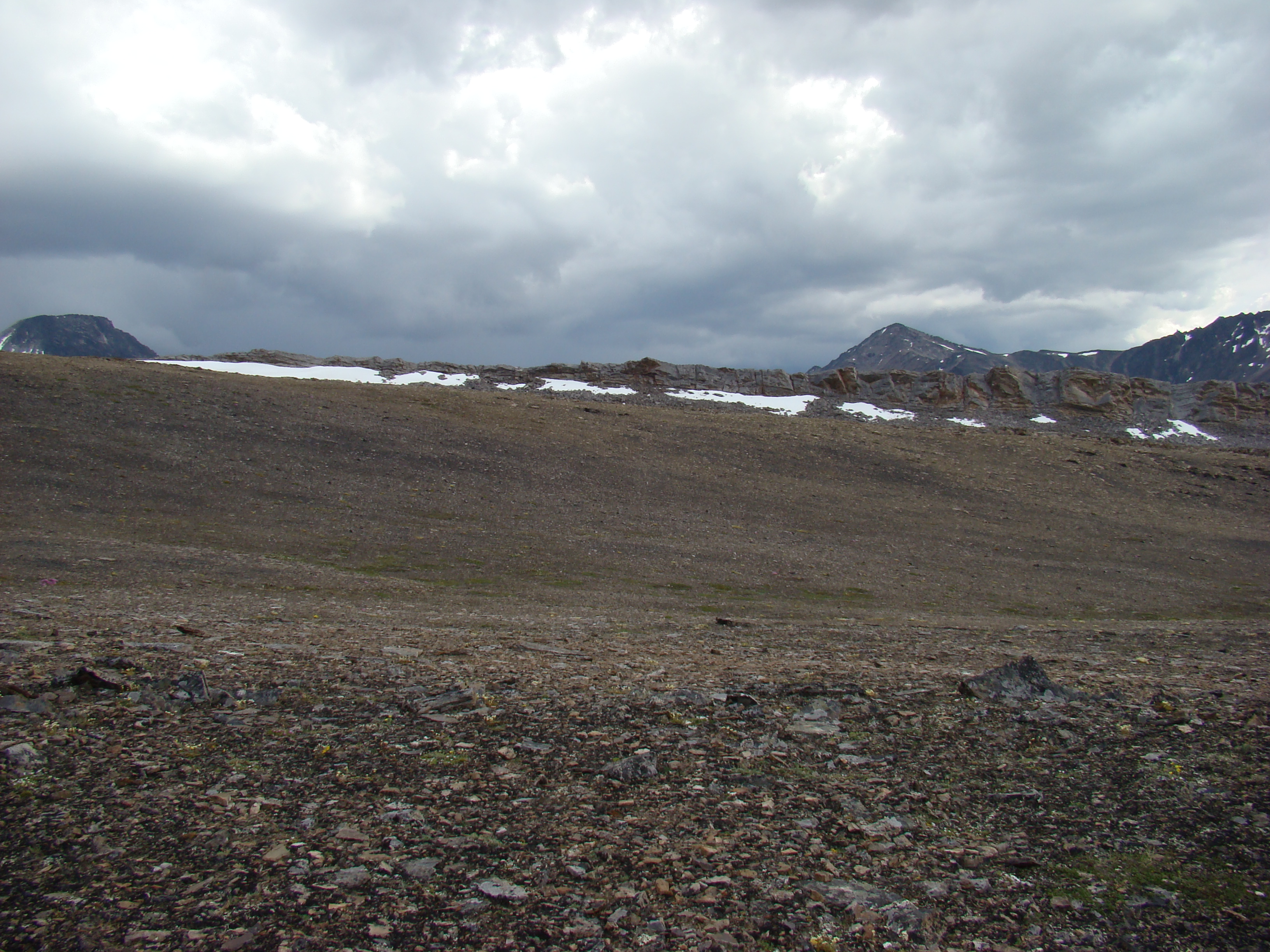
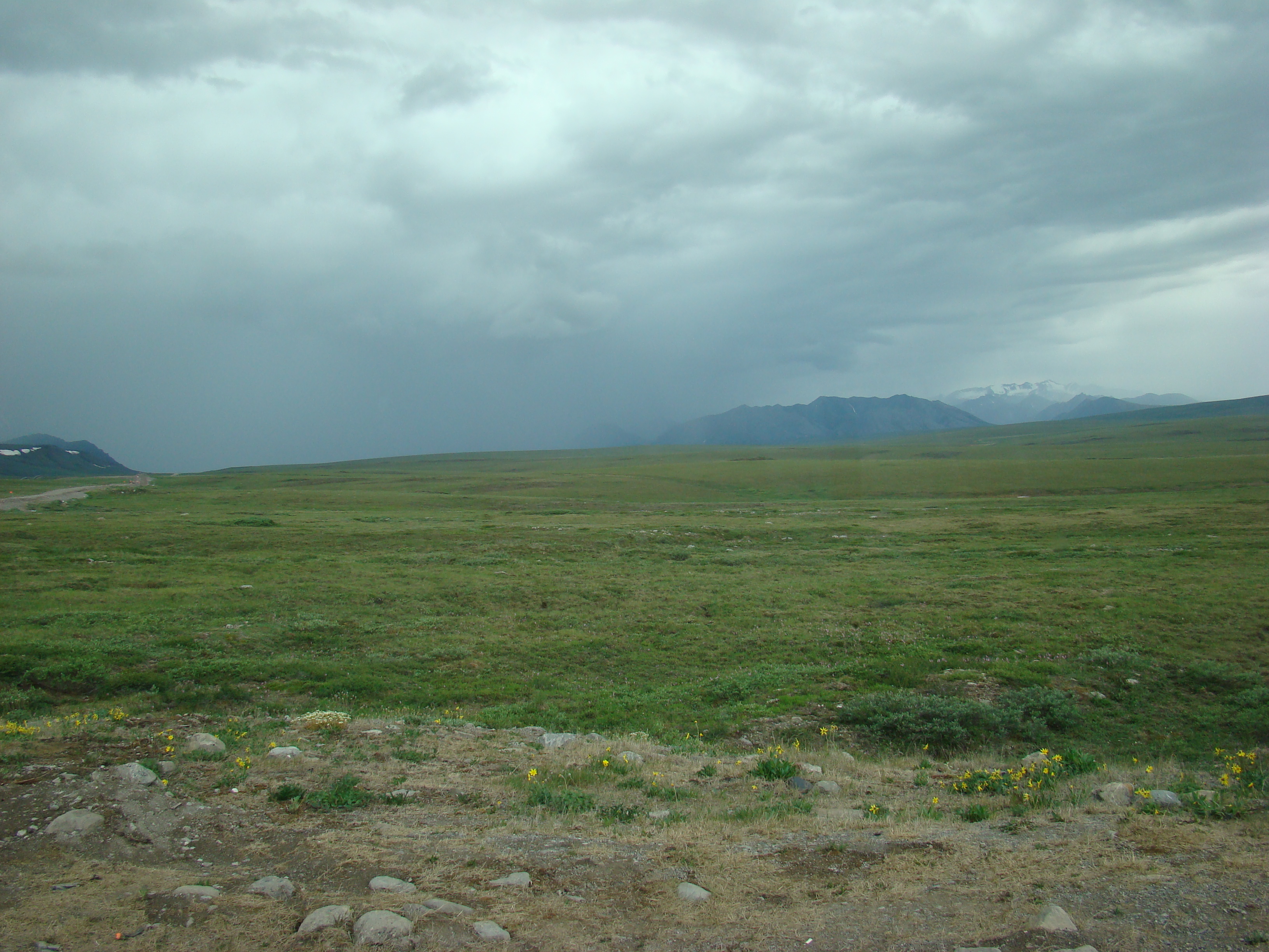
Now about 4 pm, and rain is coming. I would get
soaked, but had rain gear.
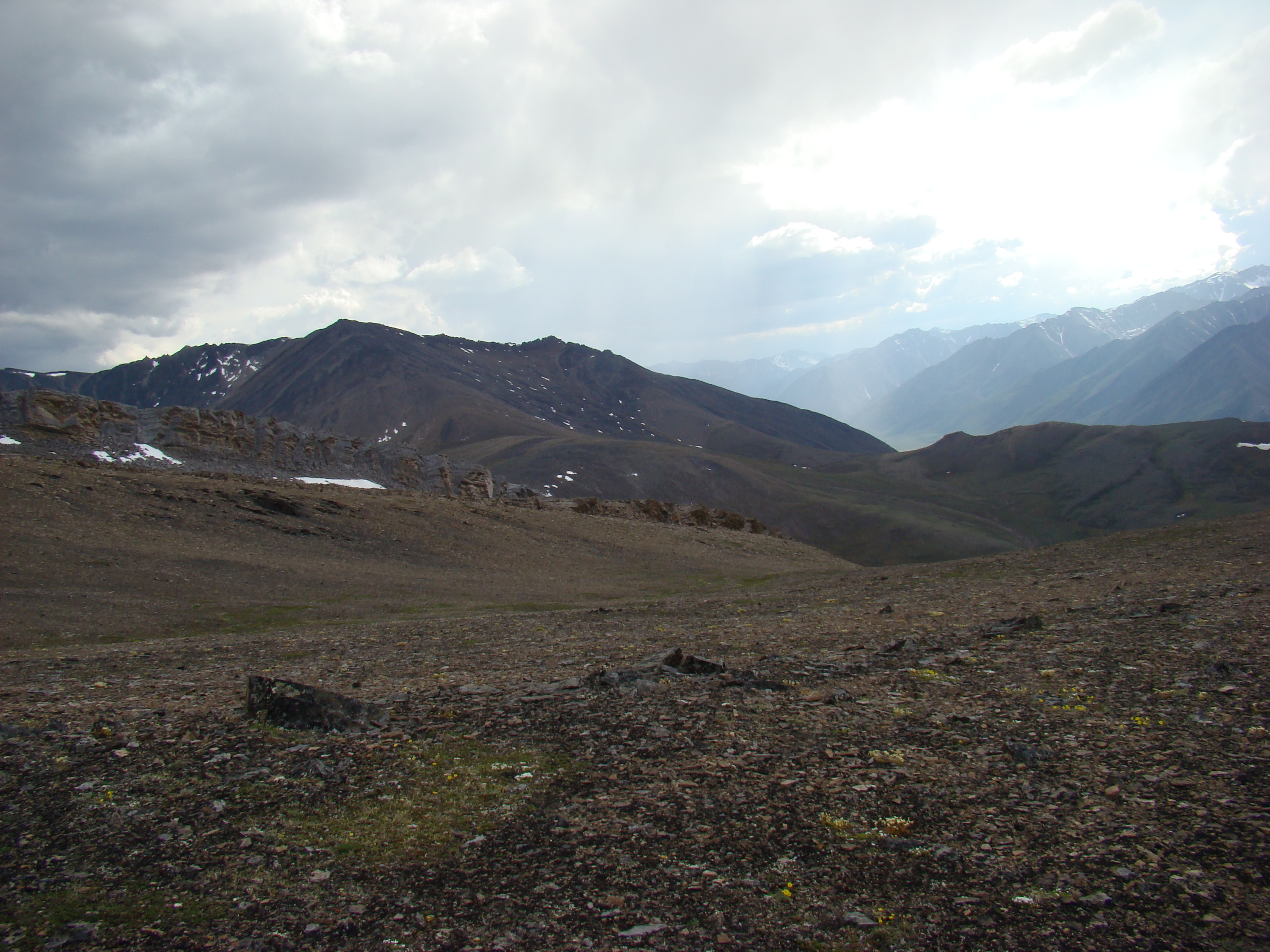
This is 5 miles from the Dalton, fortunately,
downhill. Today is Sunday, June 24.
The coming storm.
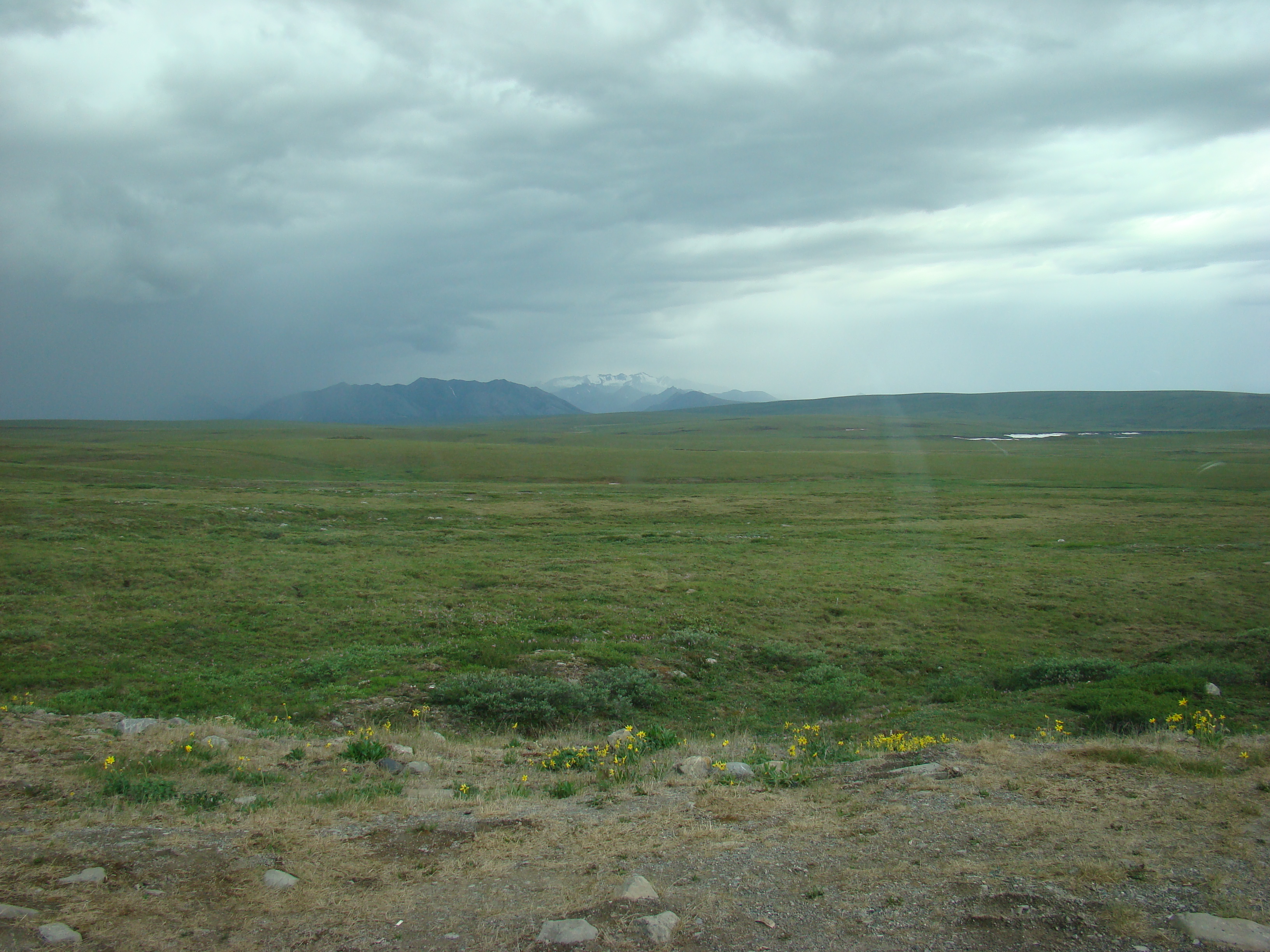
I would have liked to work this plateau, about
4500 feet, 700-800 feet above the valley, but I
discovered it in the last few hours of this part of
the trip, and that night I drove to Deadhorse.
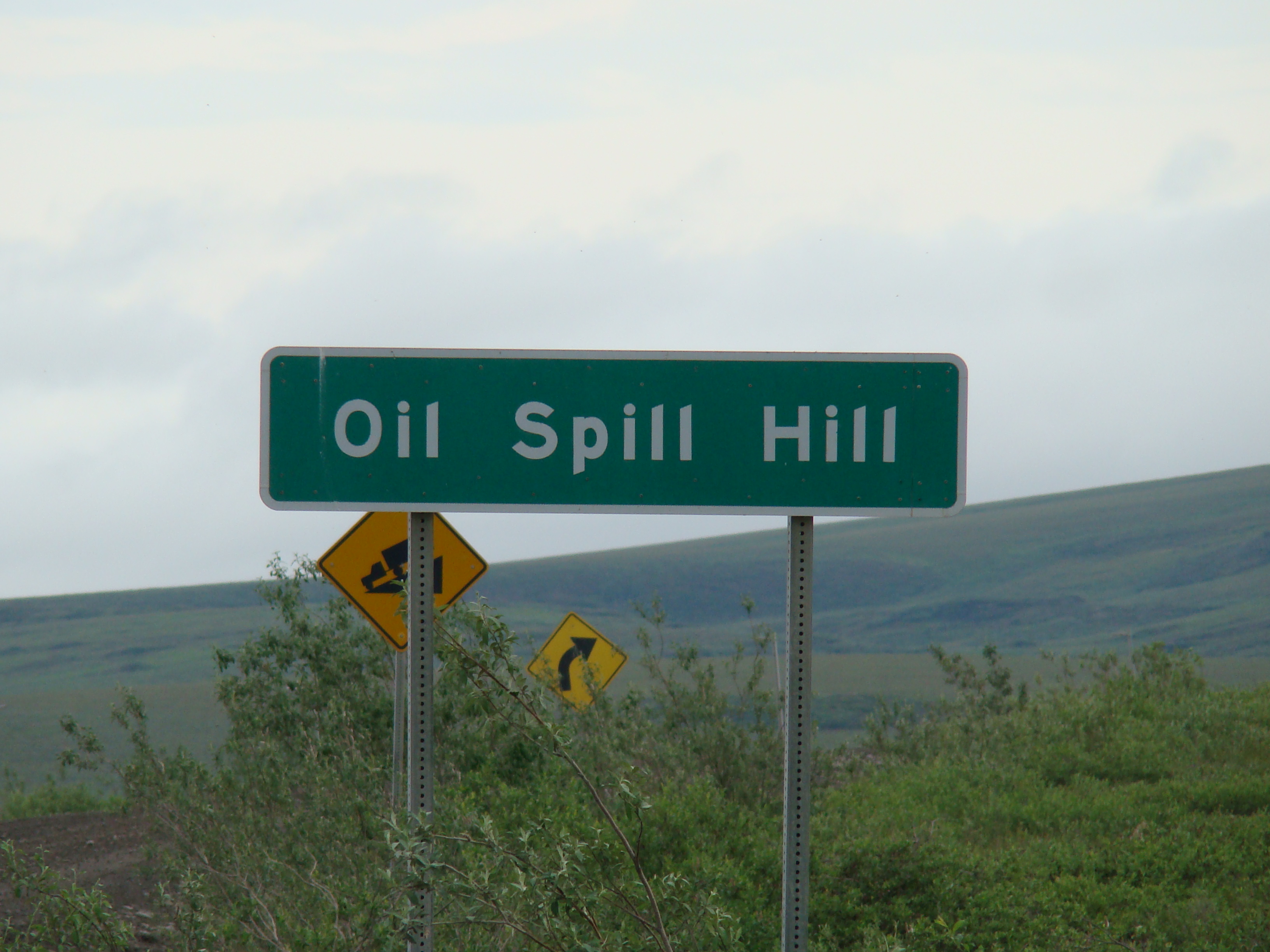
Monday, on the way to Deadhorse, on the Dalton.
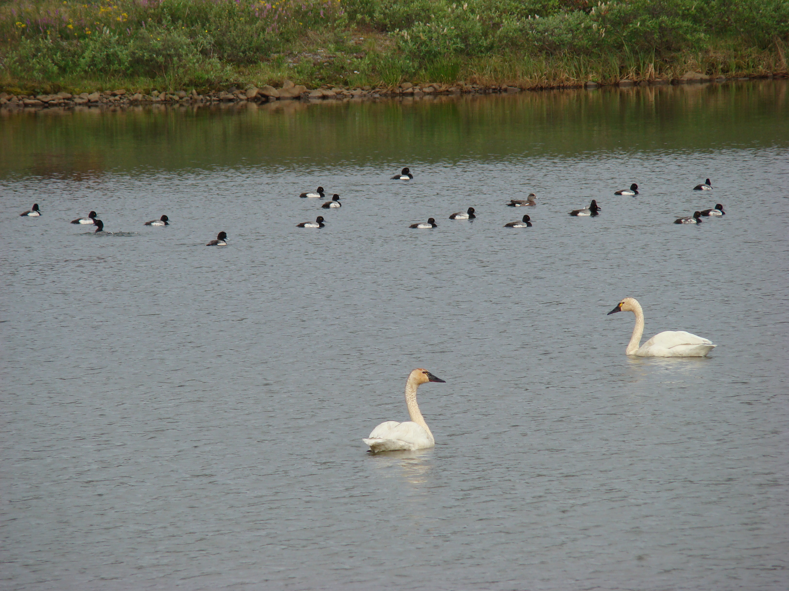
Ring-necked ducks.
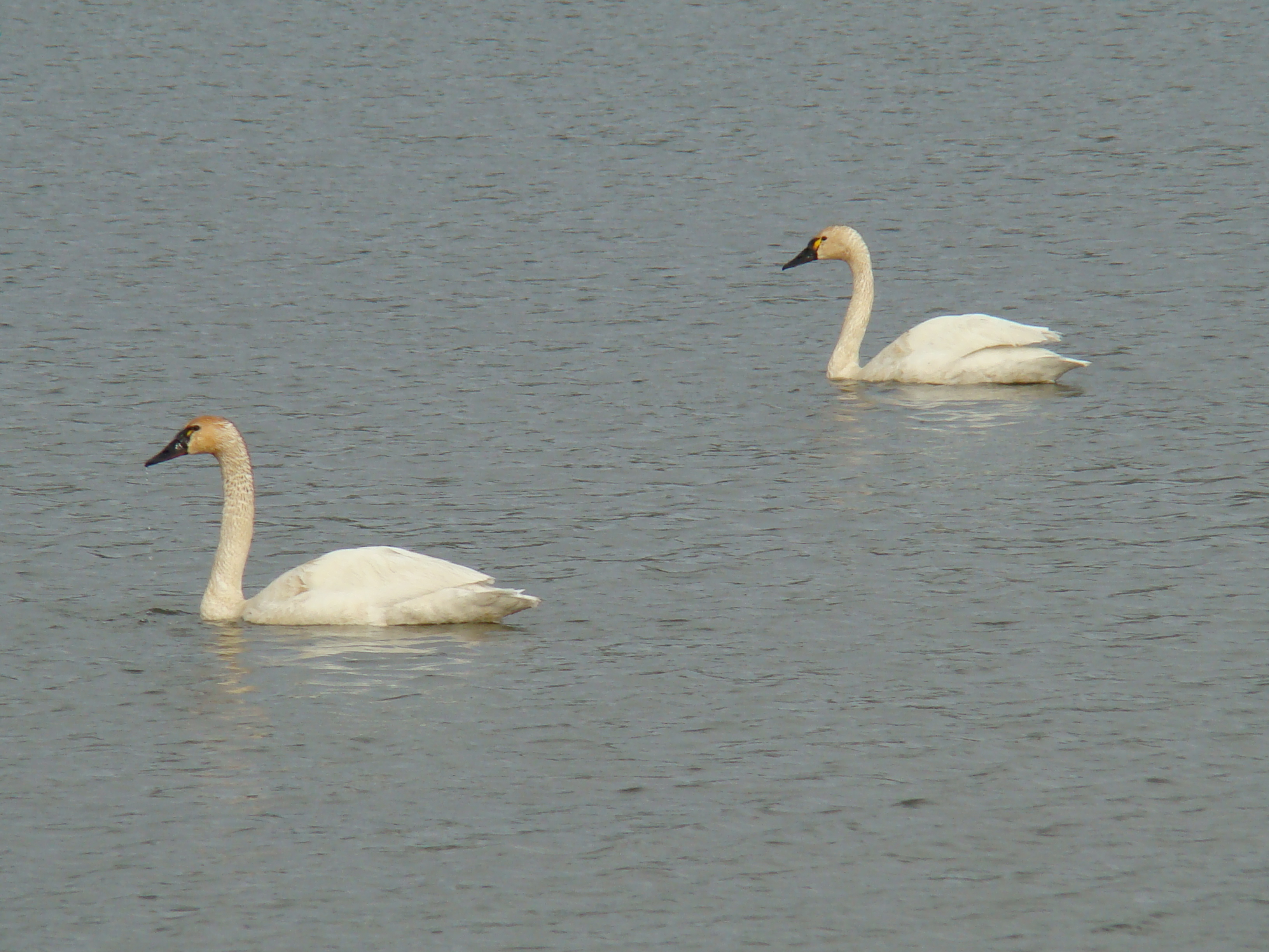
Somewhere south of Deadhorse. Trumpeter swans
with a bunch of Ring-necked ducks.
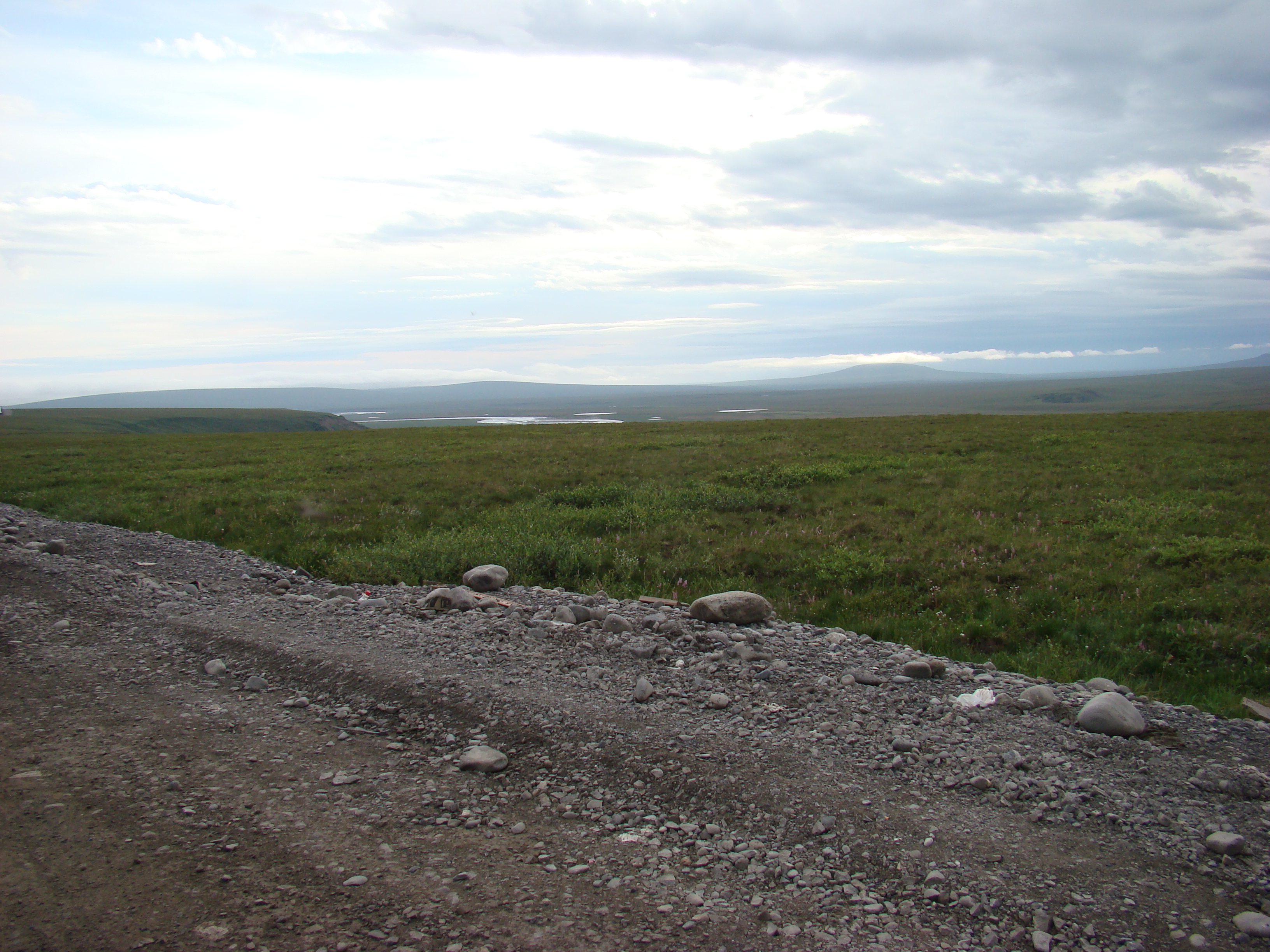
Monday was overcast, so I mostly drove.
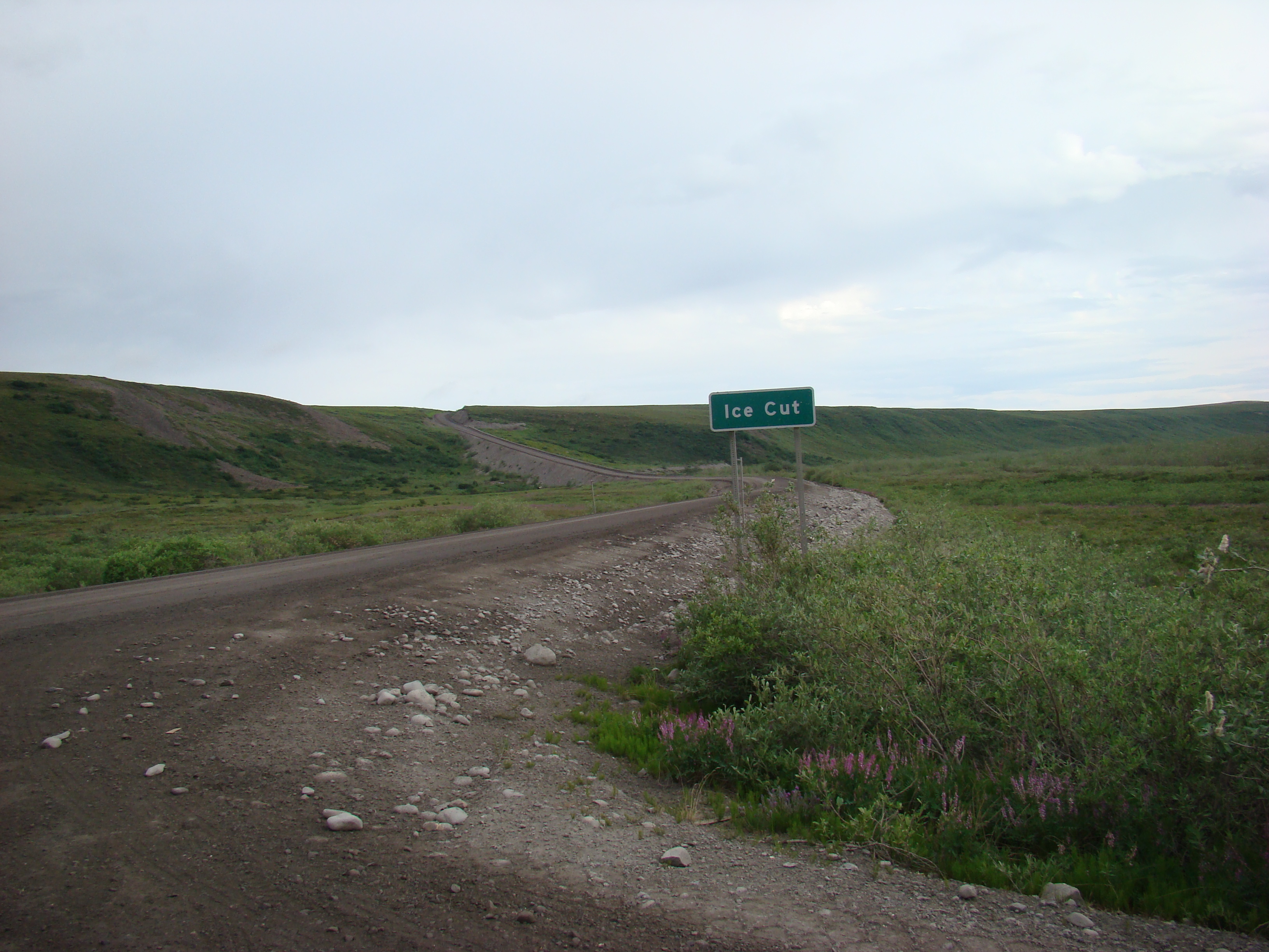
I am now on the North Slope, in tundra.
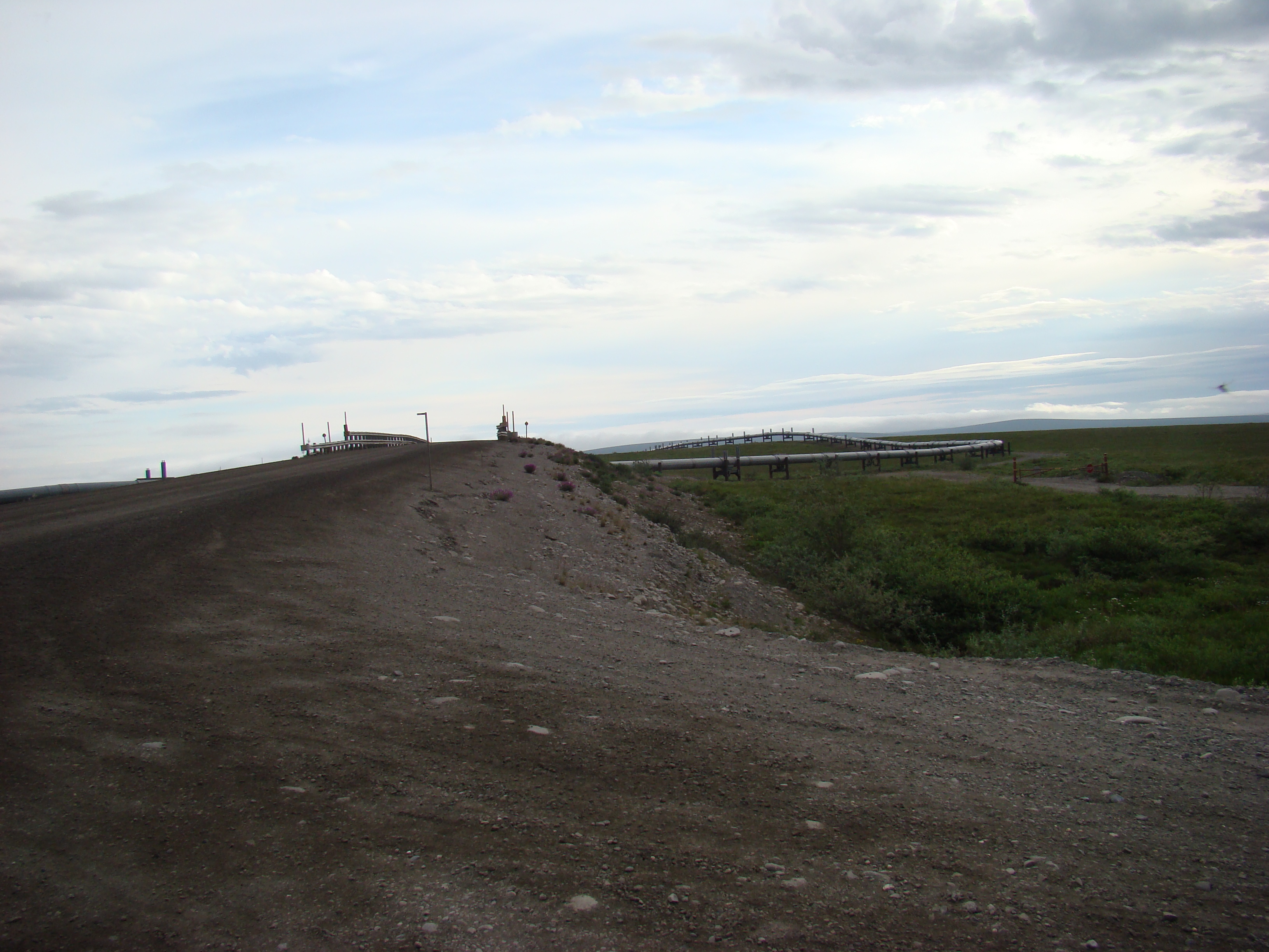
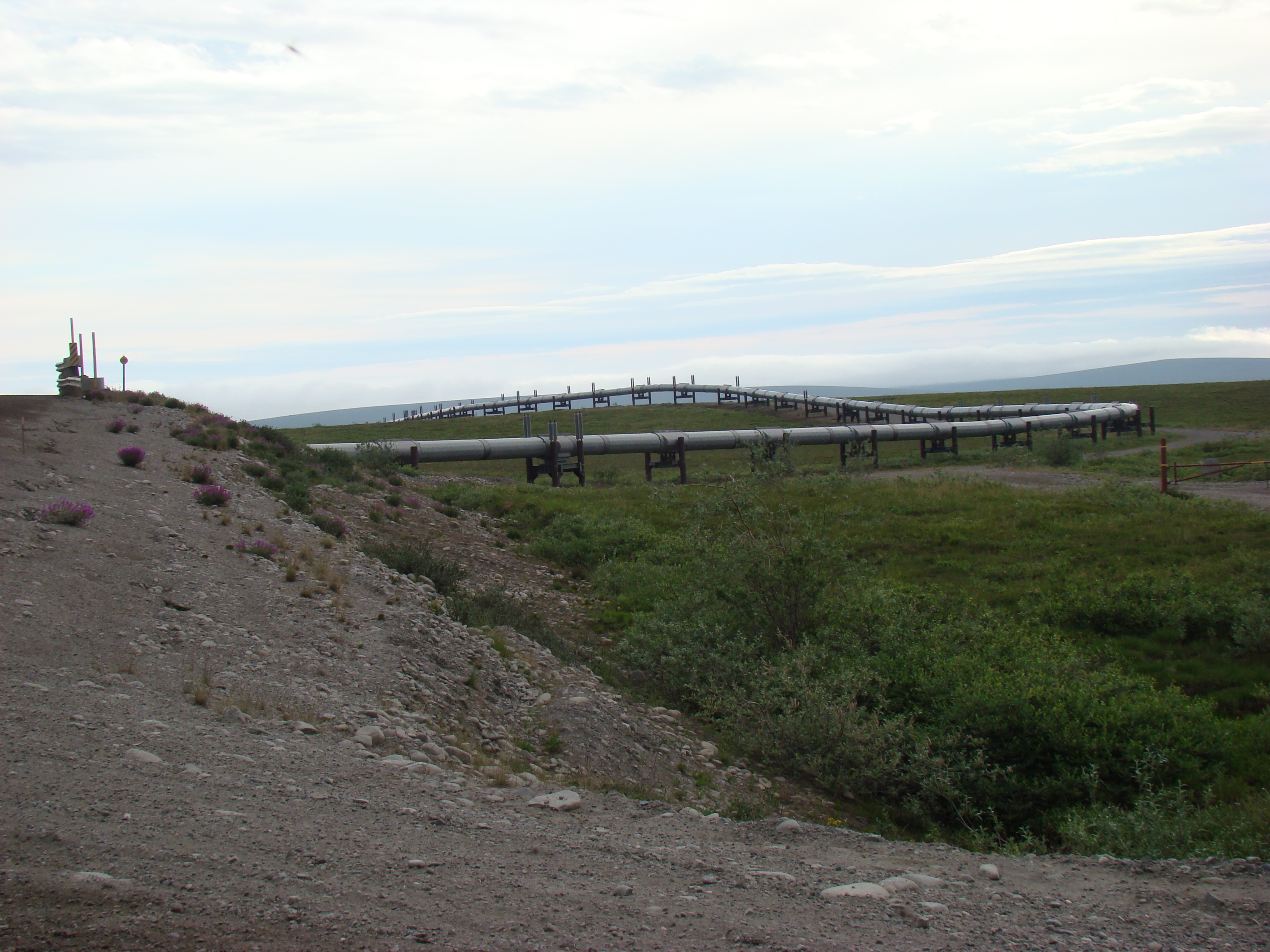
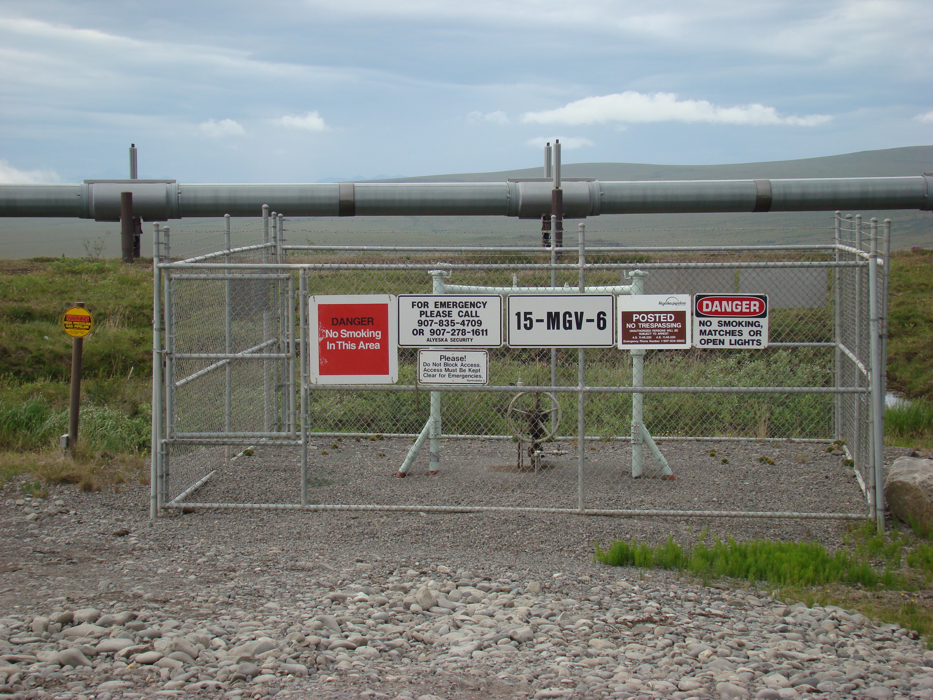
Pipeline crossing the road.
The end of Part III. Click here to go to Part IV.