
Another scenery shot.
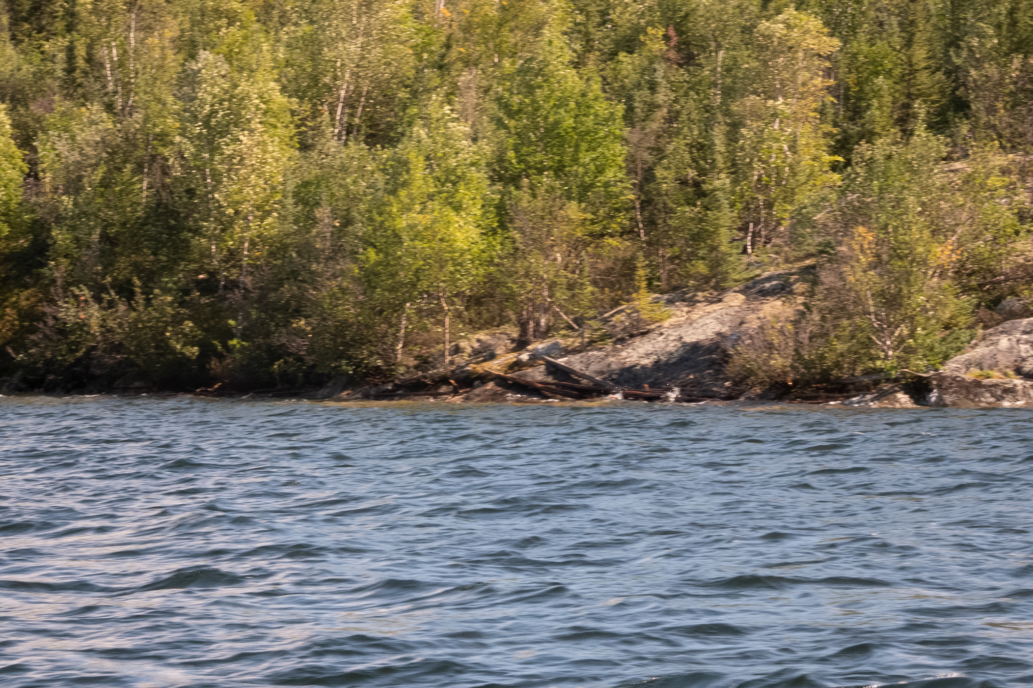
Another photo.
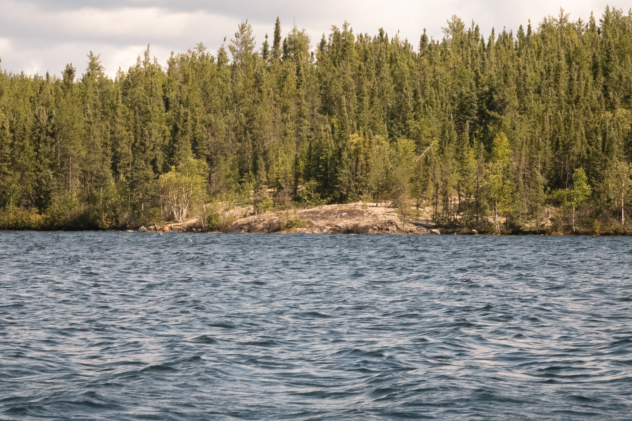
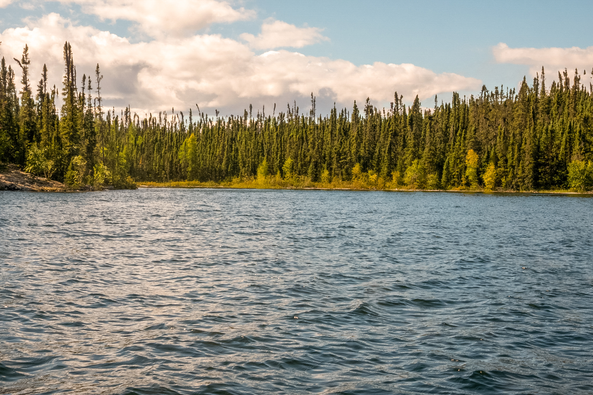
And one more showing a little bay to the west.
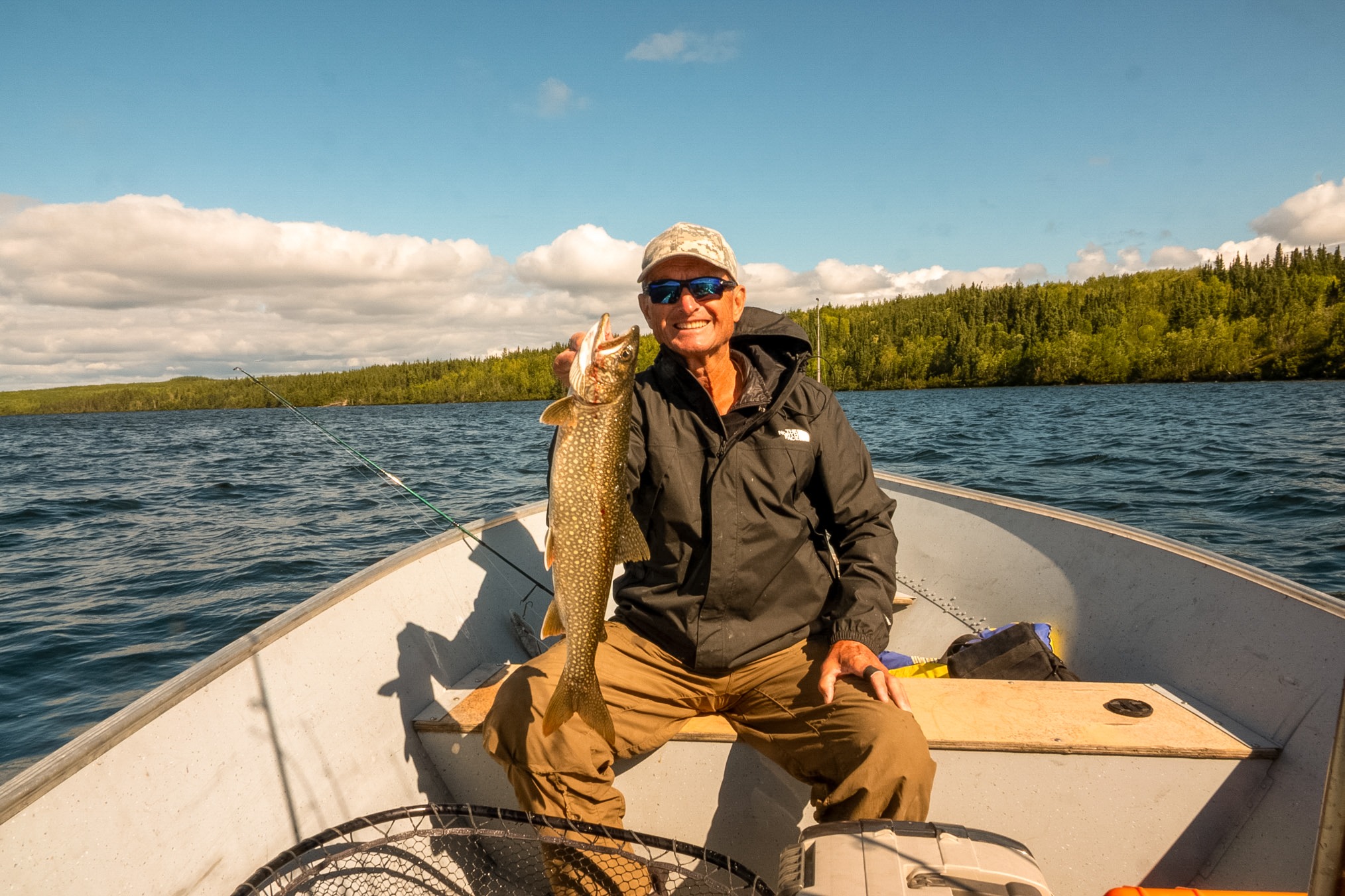
I finally caught a Laker about two in the afternoon using a Bondy Bait Oroginal lure. The Bondy Bait Original is a massive, solid 7.5-inch soft-plastic body molded around a heavy internal lead core, weighing 7 oz. It features a large treble hook on the belly and a spinner blade (Colorado blade) attached to the tail
Andrew then caught one next.
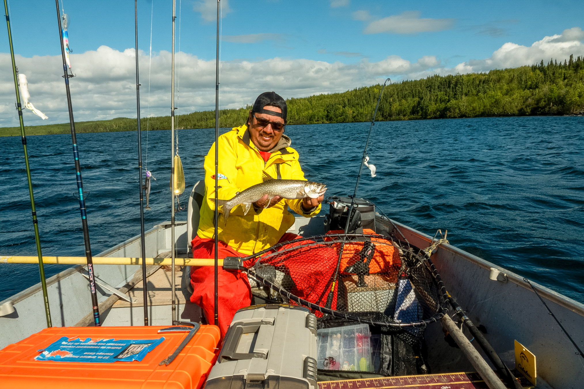
And then I caught another, a pretty nice one.
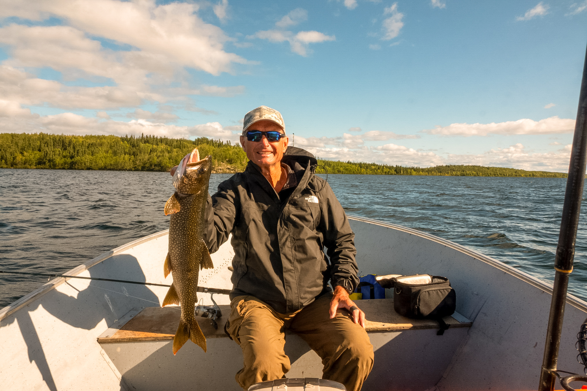
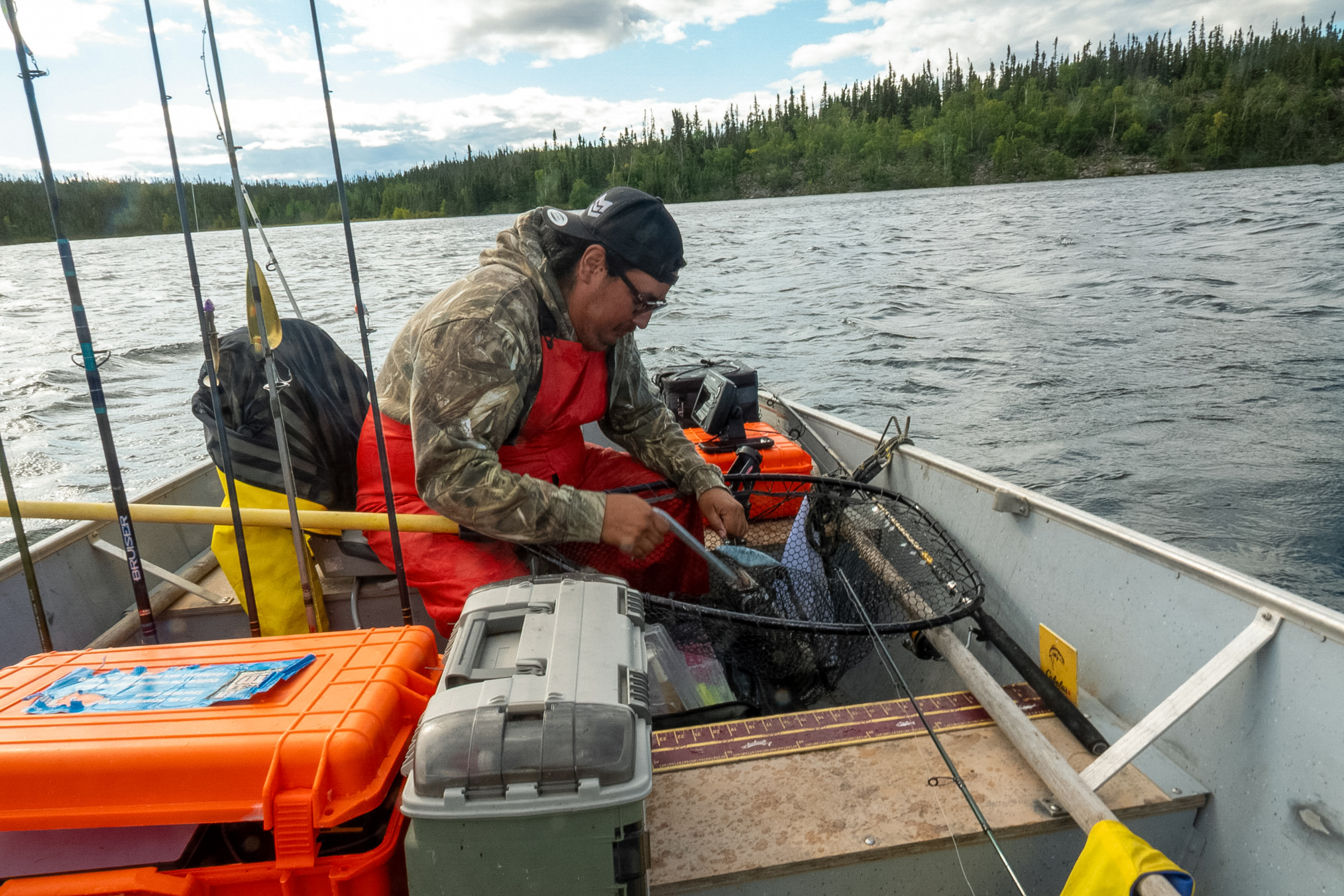
Andrew netted and is unhooking a lake trout that I just caught.
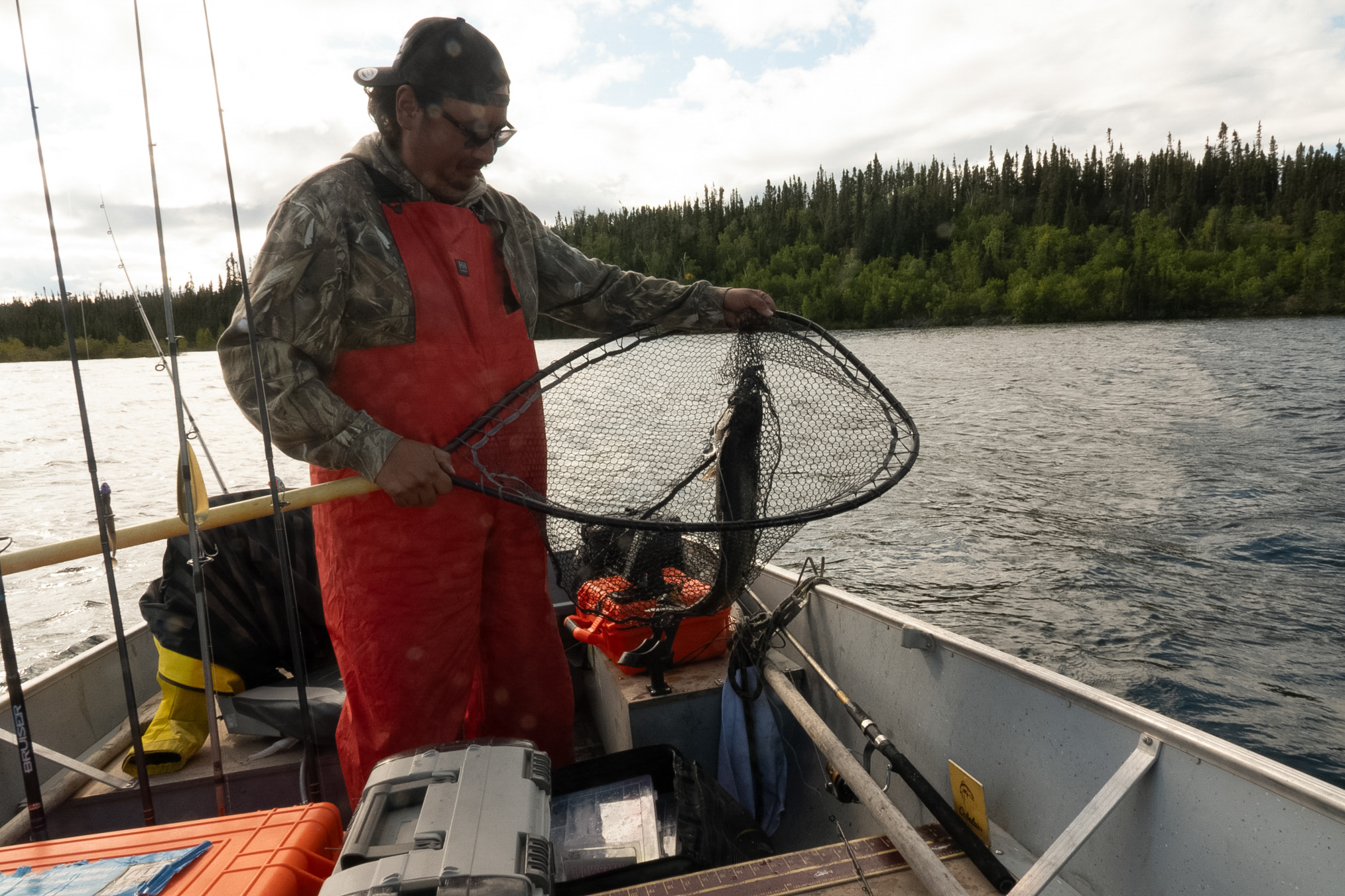
This is the fish that he just unhooked.
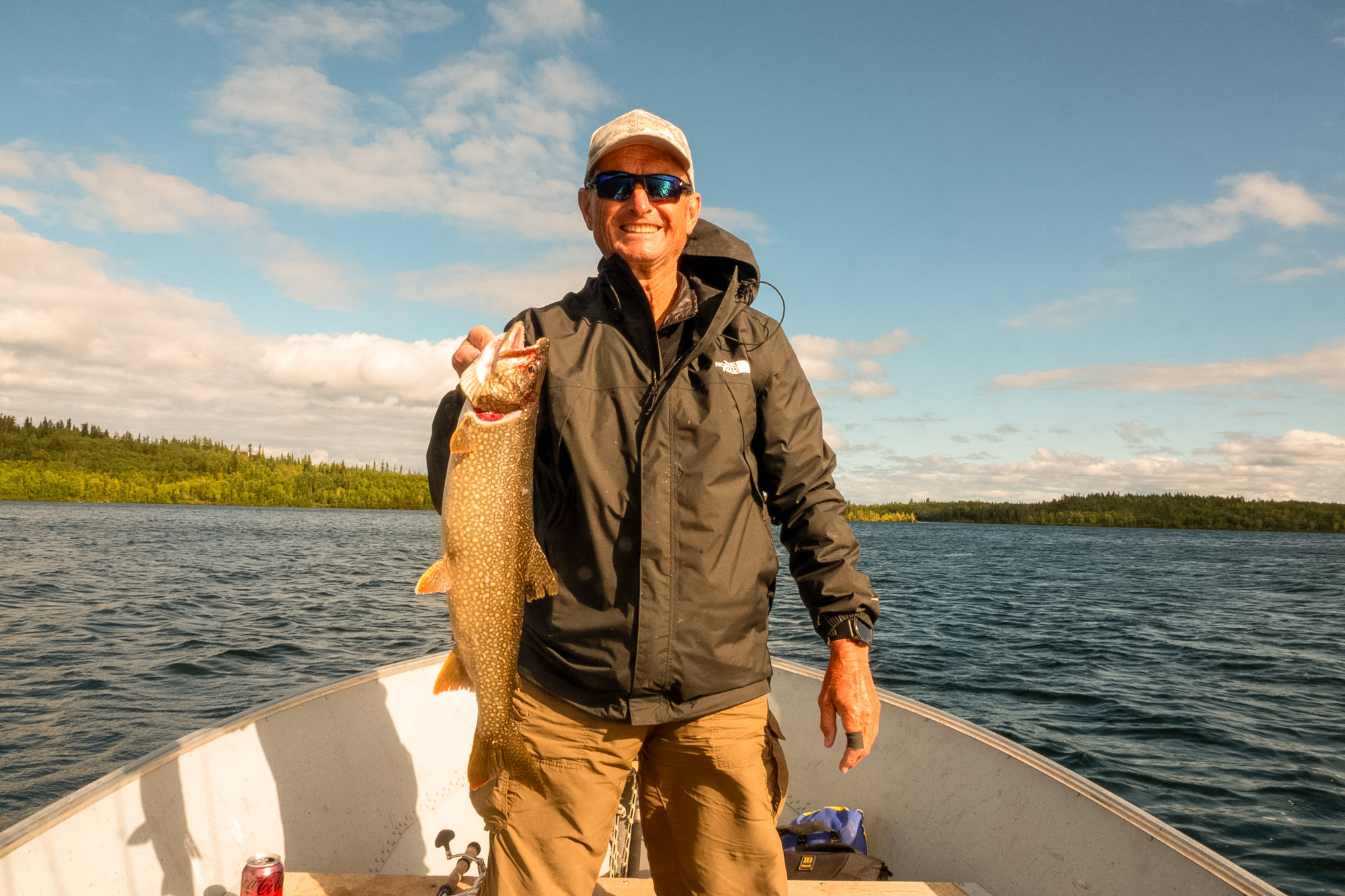
A lake trout that Andrew is landing.
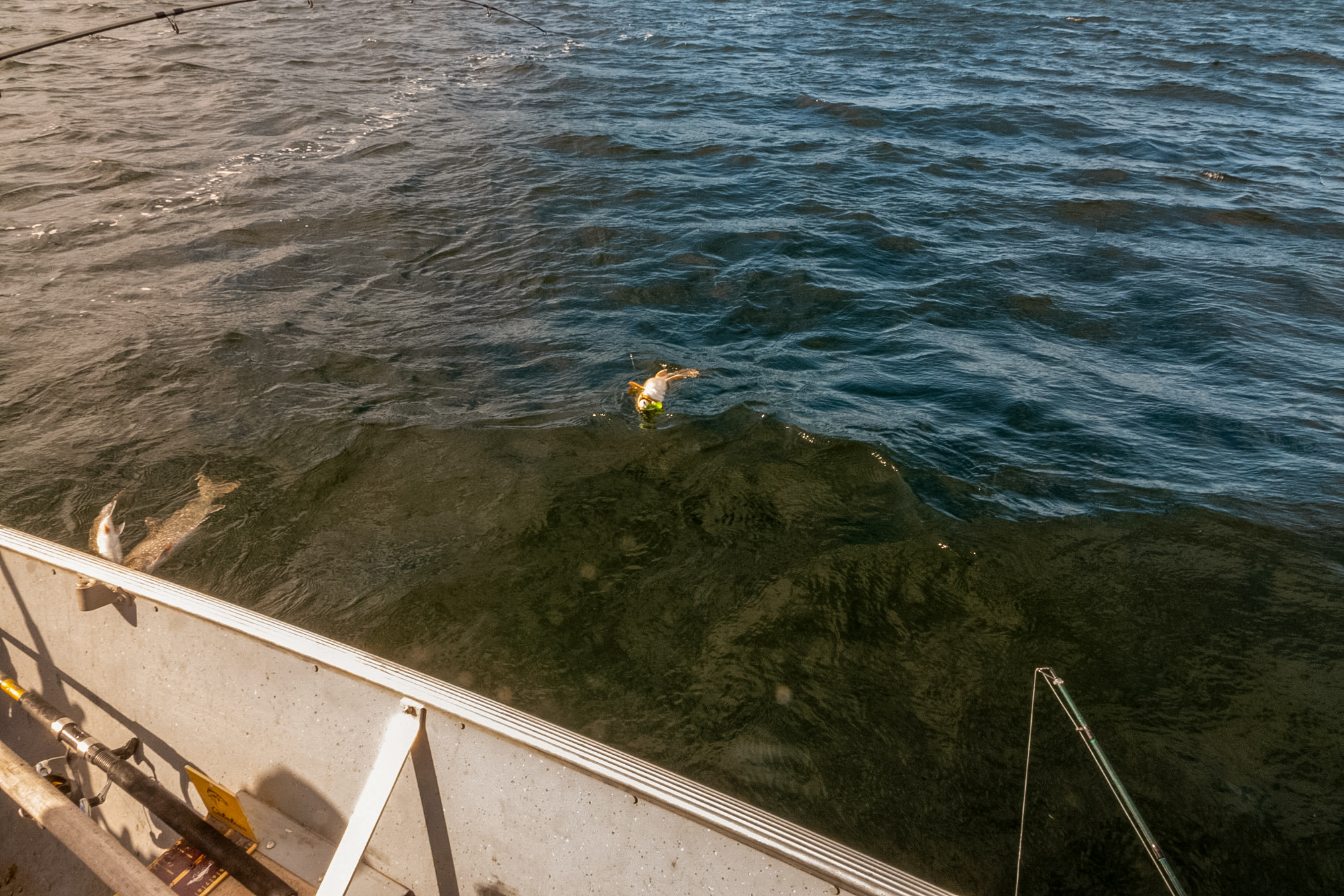
Andrew unhooking another lake trout that I just caught.
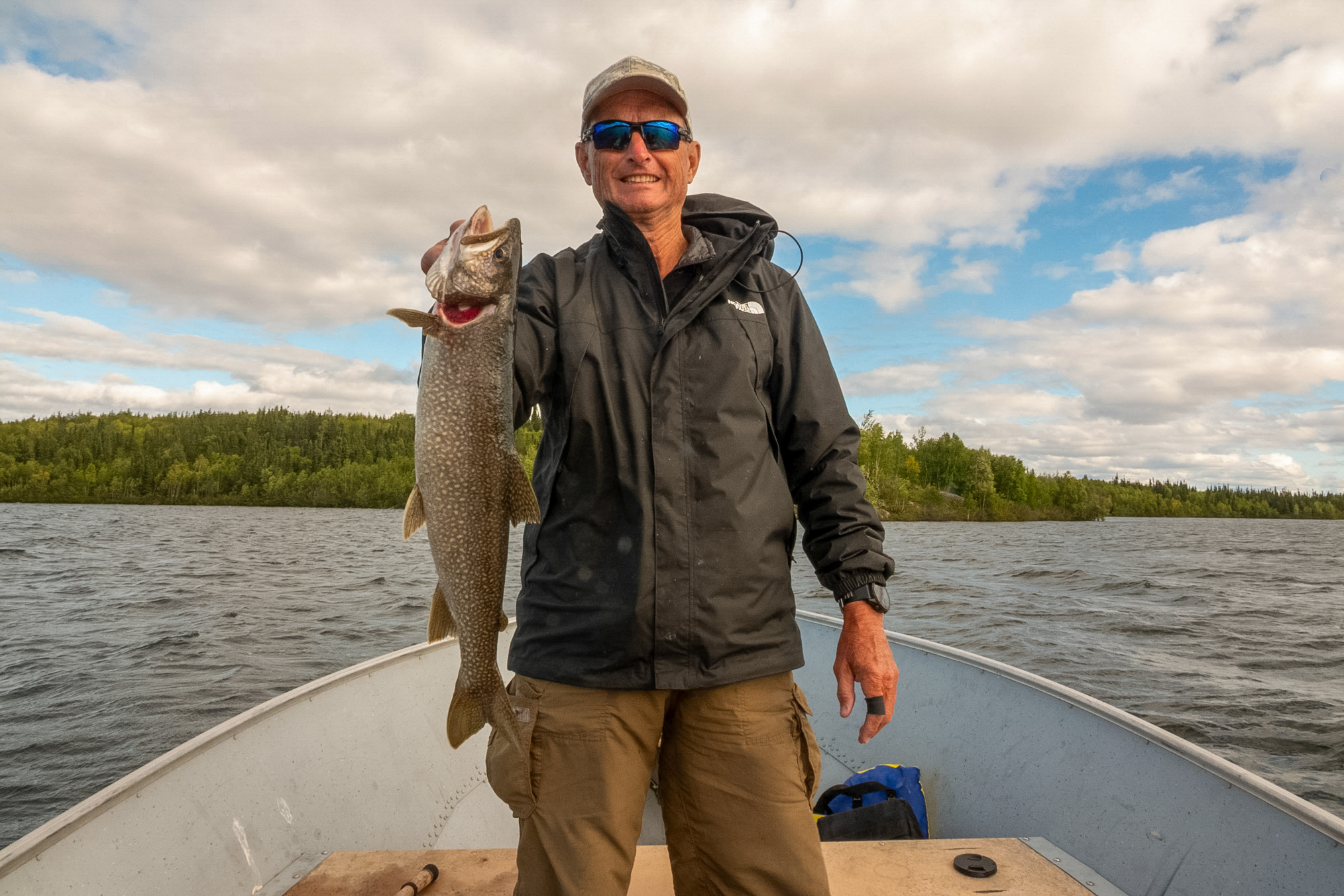
And this is the fish that he just unhooked, a nice one.
This one is interesting. It was about 4:30 in the afternoon and Andrew said ok we're going to make one more pass. He said let's catch a big one. I commented that I was going to say the same thing but I didn't want to jinx us. So I switched my lure from a 7 inch Bondy Bait lure for lake trout to a 12 inch imitation sucker which was attached to my extra heavy musky pole with a bait casting reel that had 50 lb braided line. Once again we were bouncing the lures off the bottom and within two minutes I had a strike. It was rather exciting because I was hoping it was a big lake trout. But while all the other fish that I had hooked that day stayed on the bottom and I had to pull them up, this fish just shot straight up to the surface - we were fishing 90 feet deep. When it broke the surface I could see it was a huge fish! Andrew immediately recognized it as a northern.
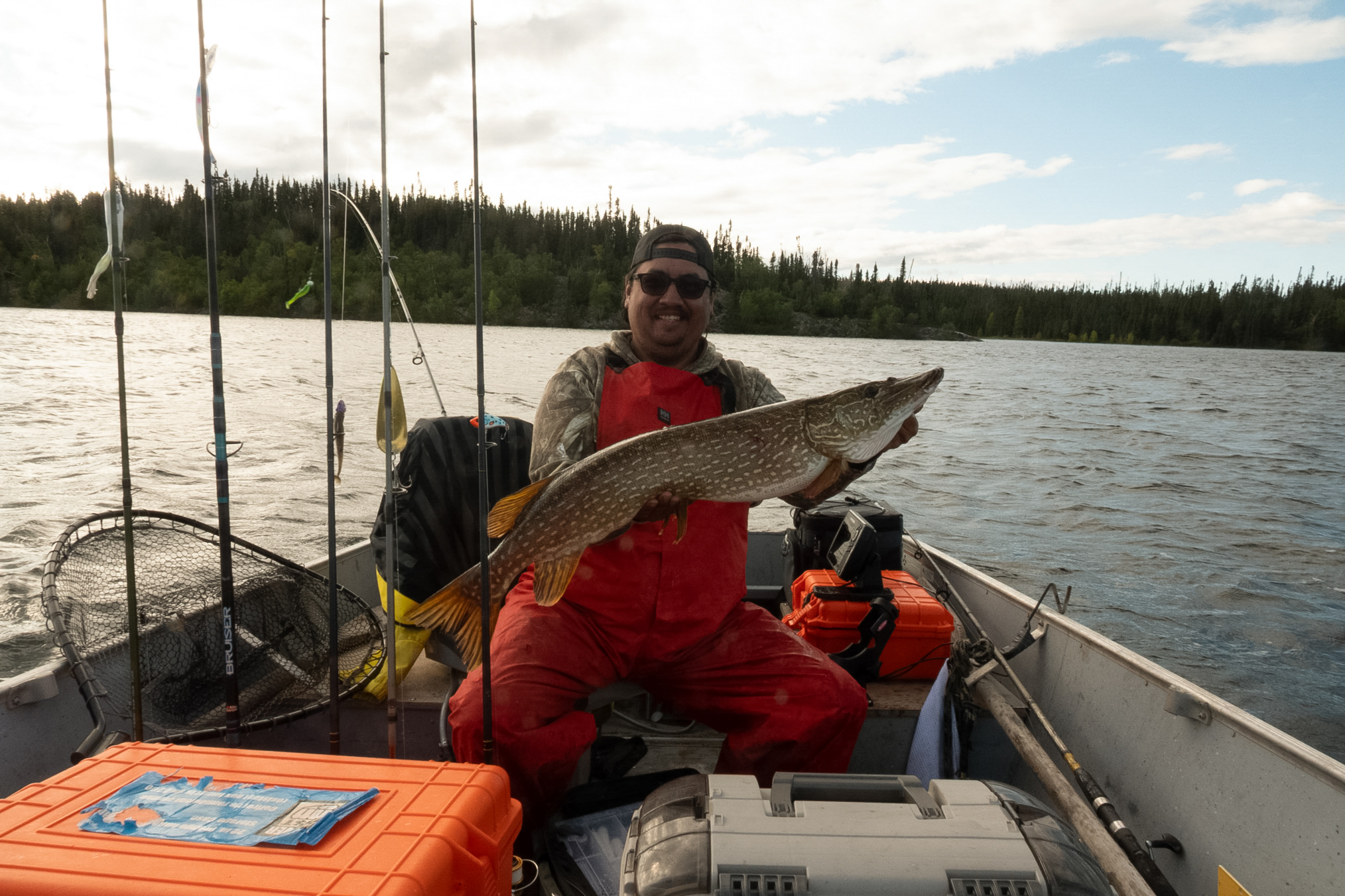
It came to the boat rather quickly and I let it play for maybe 30 seconds just to tire it a little bit more, but the fish really didn't have much energy at this point. Andrew netted it, unhooked it and here he is holding up the fish in the above photo. It's 38 inches, probably about 16-17 lbs. So I did a little research and apparently when the water gets warm, above 60°F, the big northern go deep to hunt primarily suckers. But unlike lake trout which chase prey, they just sit there and wait for something to swim by, so you have to fish real slowly for them. Also, they are not adapted to the cold waters that's found deep in the lake, it's probably 40 to 45° down there, maybe colder. That probably explains why the fish shot to the surface after it was hooked as it could not fight that well down in the deep cold water.
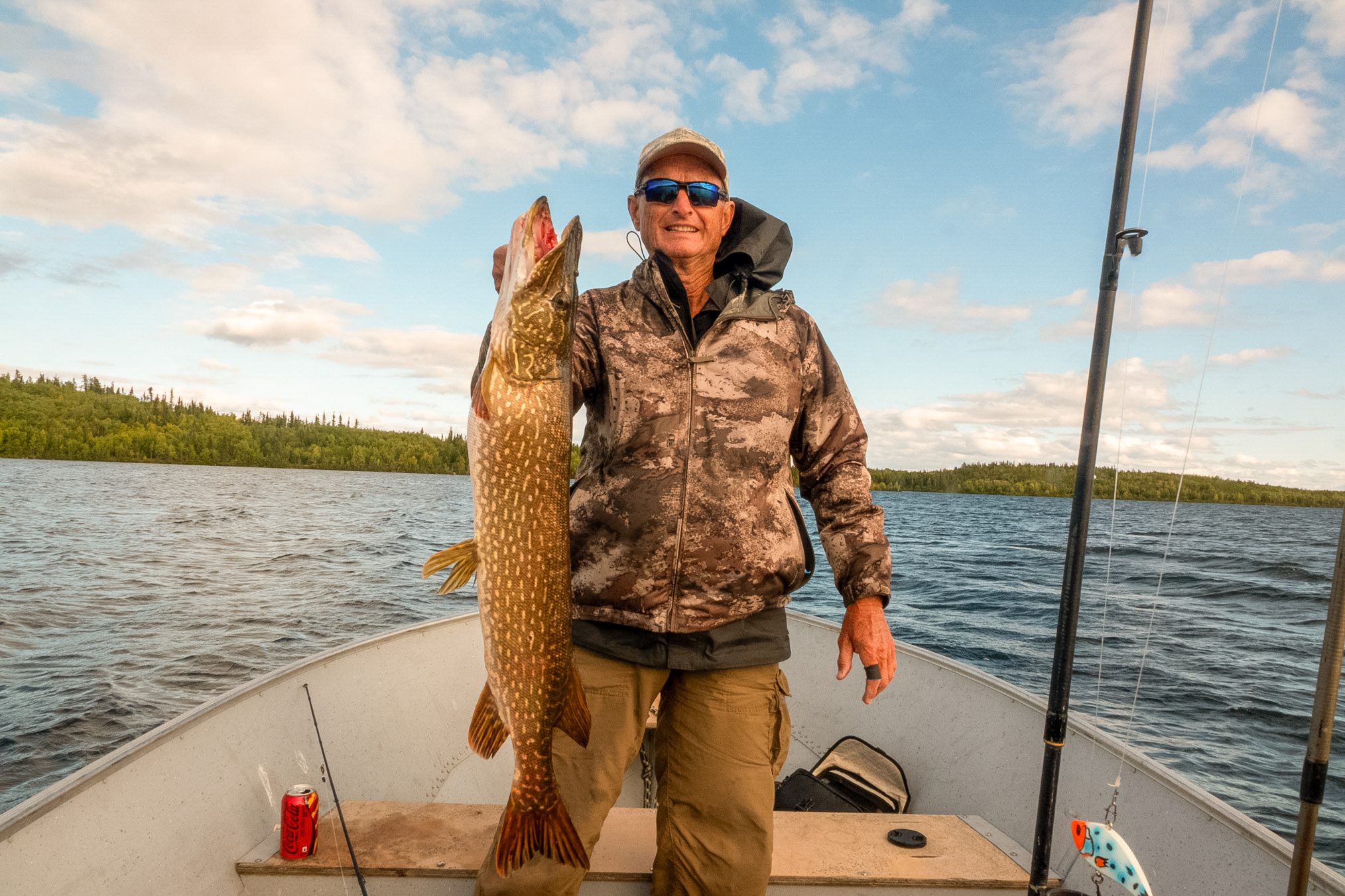
Here's another view of the fish. I'm planning to return to the lake next year, probably the second week of August and I'm going to focus my efforts fishing 90 to 100 feet deep with these large imitation suckers. I should mention that the reason I chose the large sucker as a lure for the last pass was that earlier in the trip I'd hooked about an 8 lb northern and it had a 8 inch sucker in its belly suggesting that they were feeding on suckers.
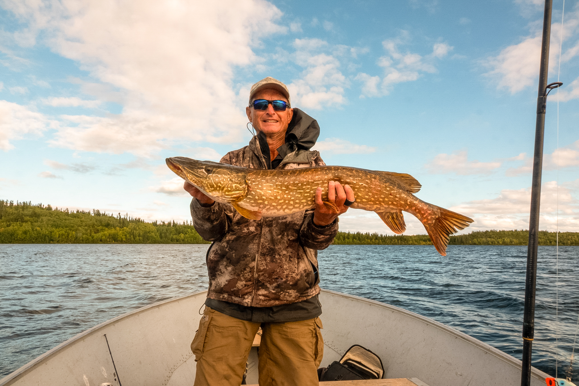
This photo shows me holding the 9 foot rod, just below the right hand is the 12 inch imitation sucker that I used to catch the big northern.
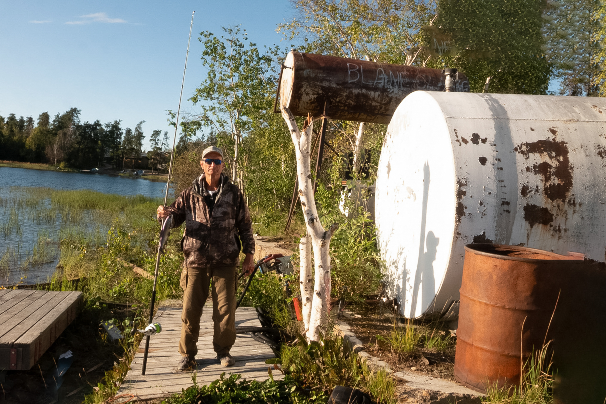
I was having trouble with my small boat on the lake as it had been real windy the previous three or four days and so Otto set me up with an old boat that he had but within a day it basically flooded. He thinks that some line broke and allowed water to get into the boat.
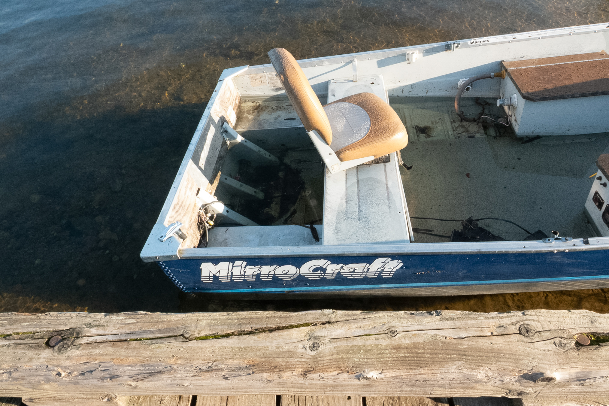
Here's another view.
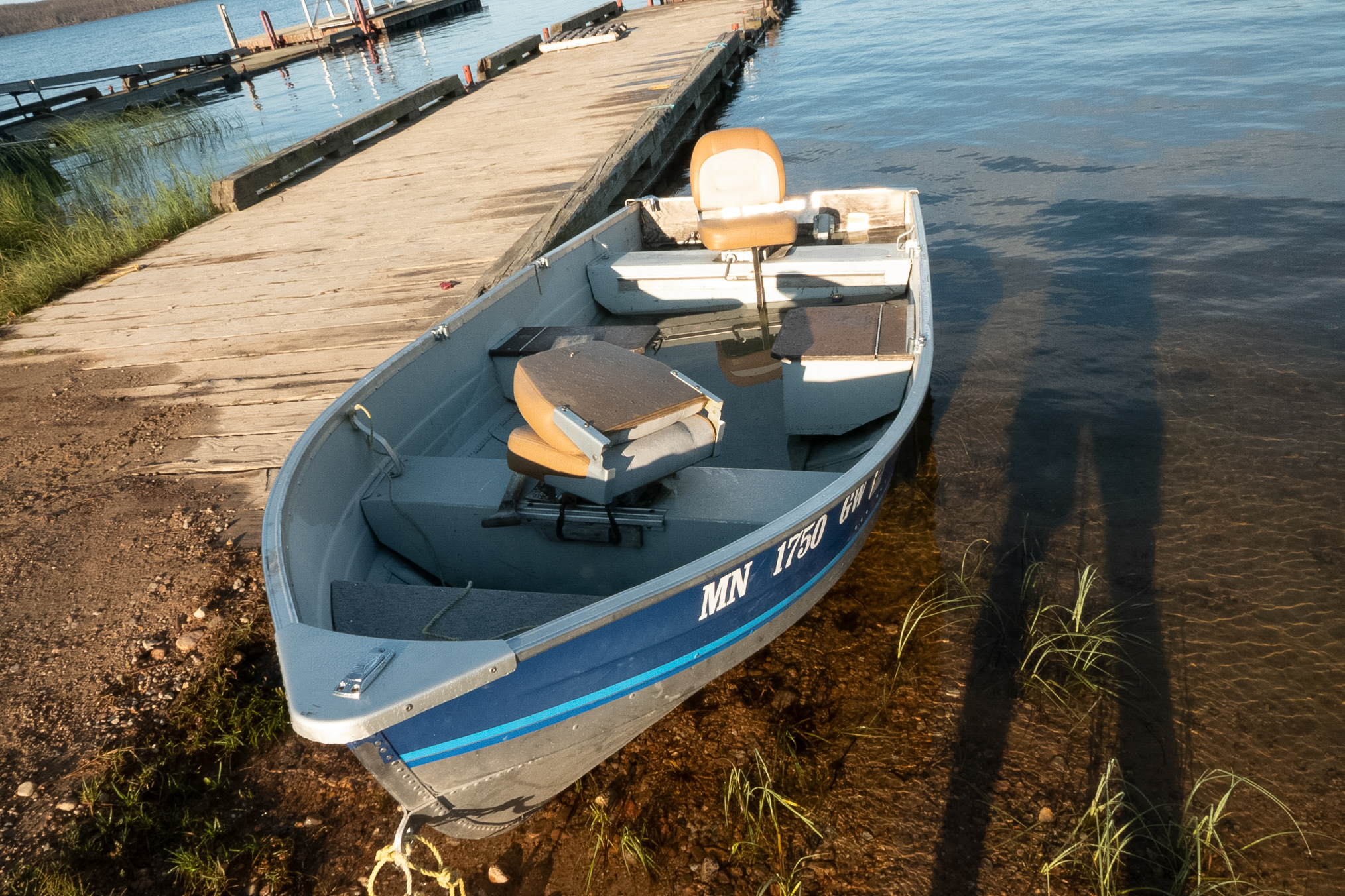
Otto standing near his boat house with his new boat, which I gifted, and his dog Shadow.
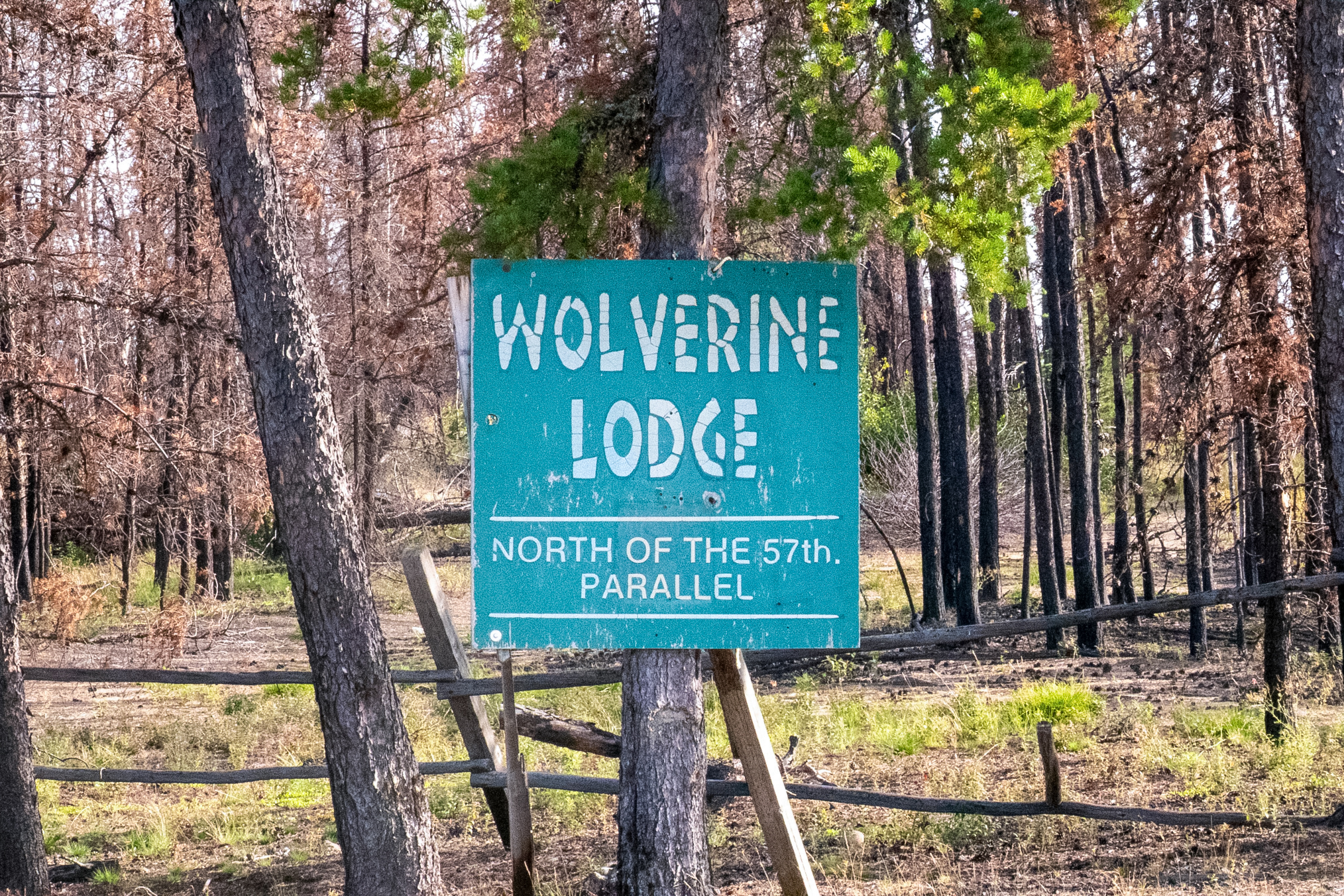
On Saturday August 22nd both Andrew and I left. I was driving very slowly because I was going to collect all the way to the Vanderckhove River. I took this photo of the Wolverine Lodge sign, which shows the fire damage that the area had recently suffered. Apparently the Wolverine Lodge had changed ownership since I last came and the new owner never reopened the lodge and now with the fire damage it was probably closed for good.
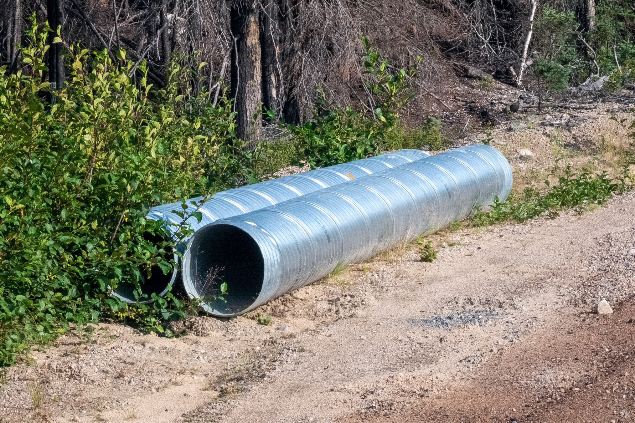
After the Vanderckhove River, the forest was burnt and I just drove to Lynn Lake. I was pleased to see that they were building an underpass for a low spot on the road as evidenced by these two large pipes. These low spots where water drains over the road can be really muddy and a hassle to drive when it rains.
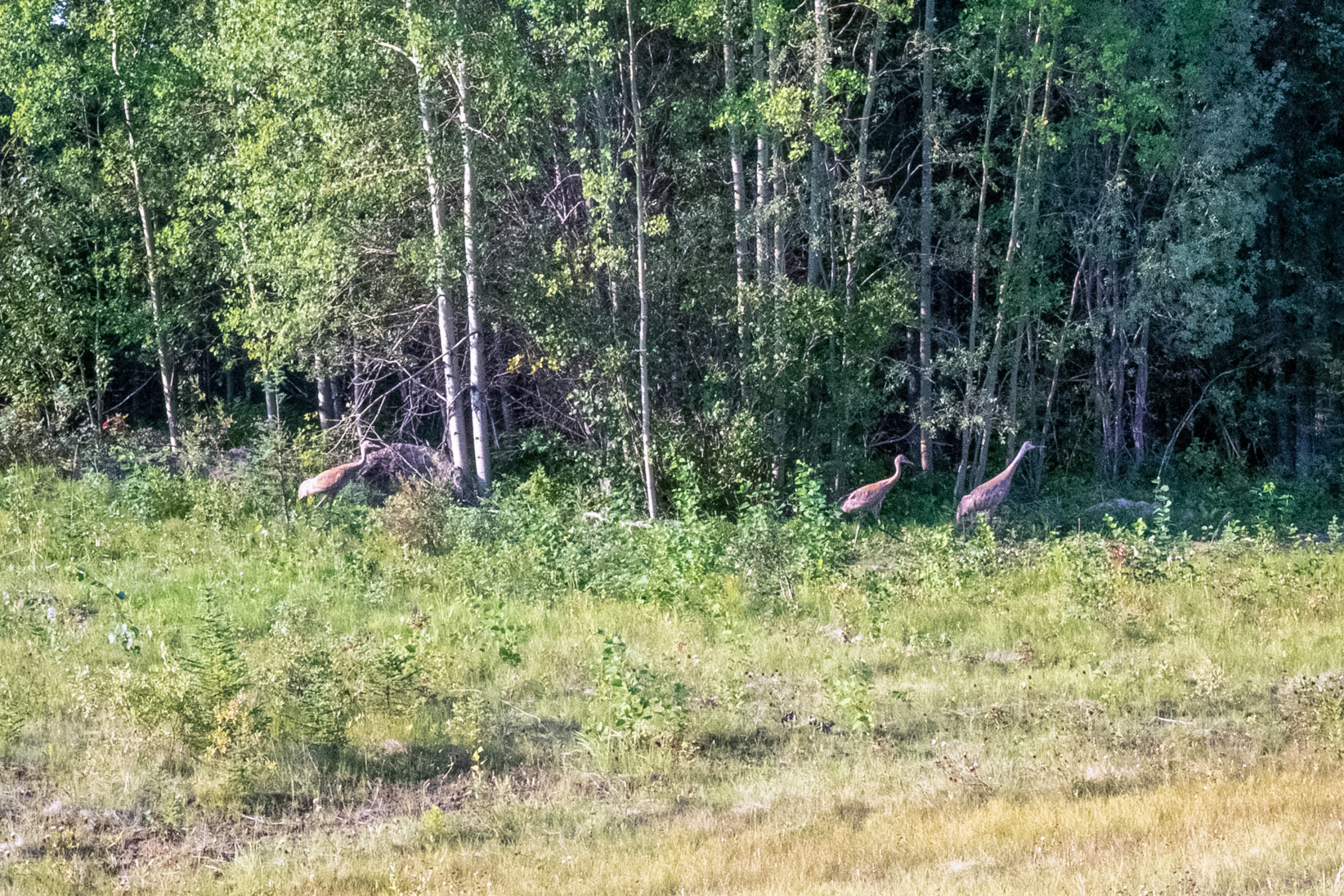
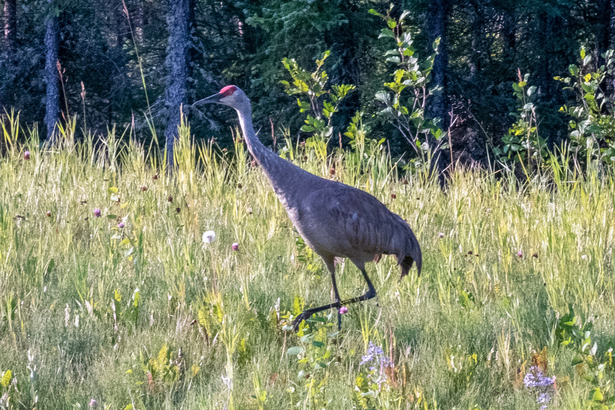
A little down the road I saw a family of sandhill cranes, probably a mom, dad, and a pretty well grown juvenile.
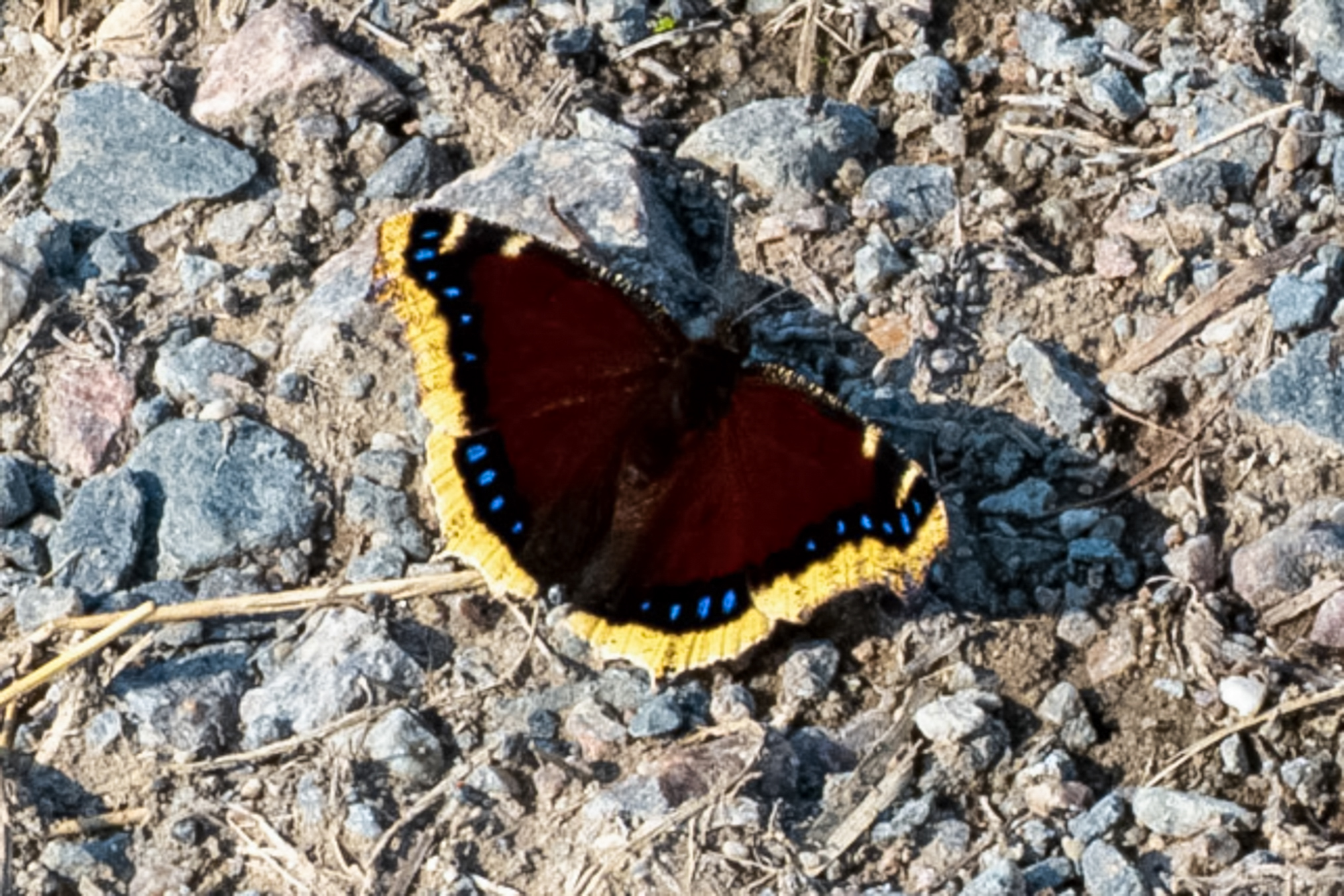
On Sunday August 23rd I drove a winter road just about 5 km south of Thompson. I've had good success on this road in the past but even though it was nice this day there weren't a lot of butterflies. There were a decent number of N. antiopa and I photographed one.
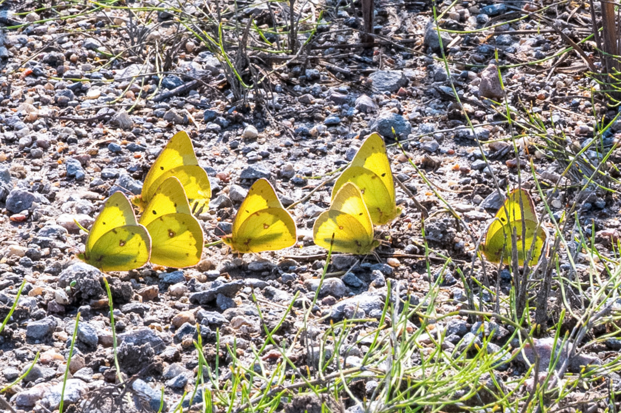
A small group of Pink-edged Sulphur butterflies (Colias interior) puddling on damp gravel near Thompson, Manitoba. These congregate on moist roadside soil to absorb essential salts and minerals.
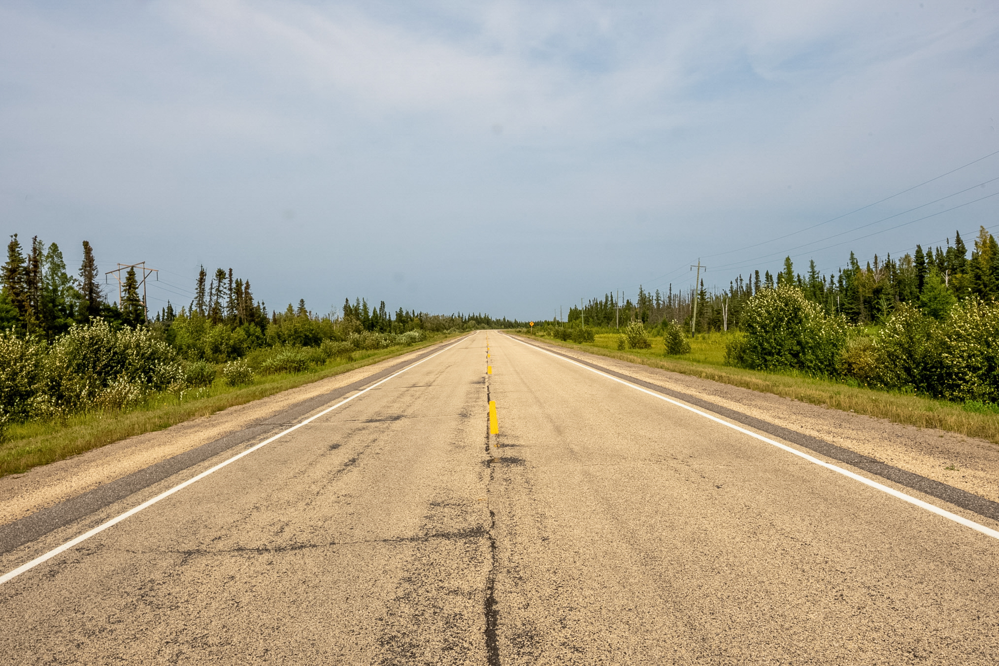
I left the winter road around 1:00 PM and drove further south along Manitoba 6. This shows a section of the road looking south.
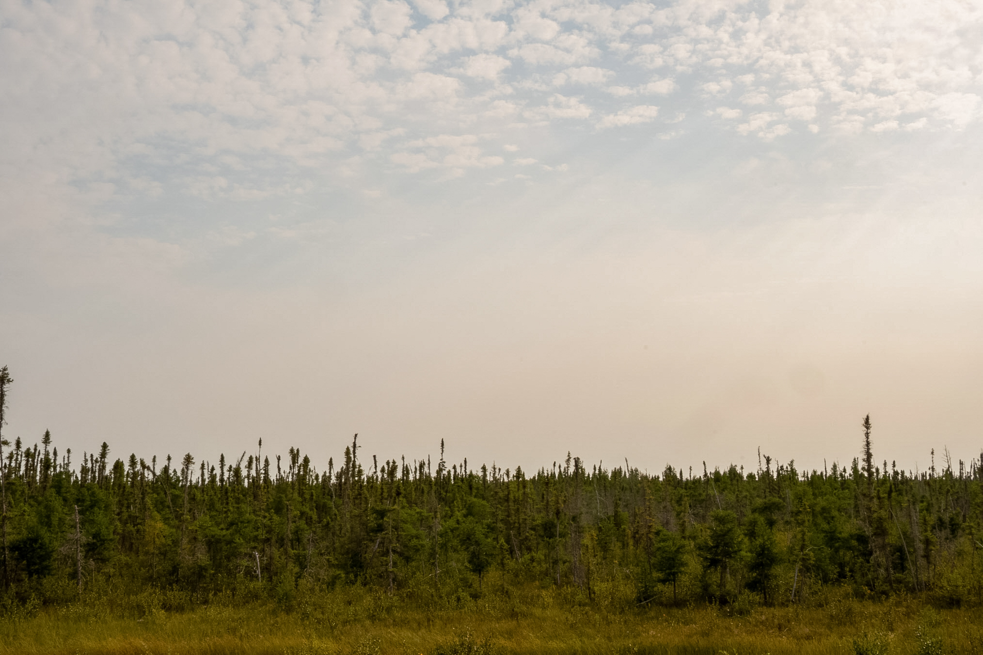
About 150 kilometers south of Thompson I found several improved primitive roads that were heading east through the wetlands. While these looked promising as sites to collect, I saw no butterflies on this day. I'll have to visit this area when I return next year on my way up.
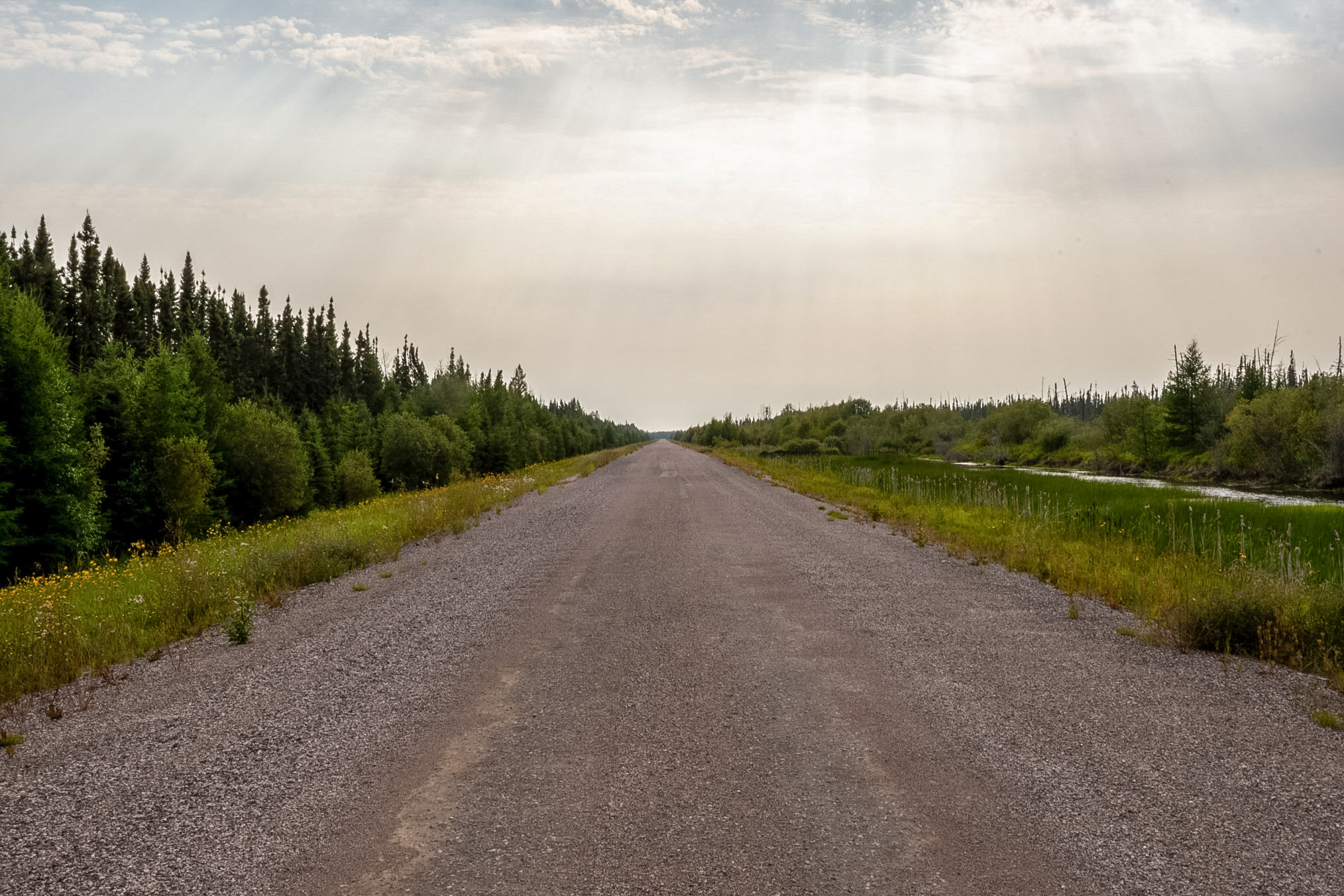
And here's a view looking in the other direction from the same spot.
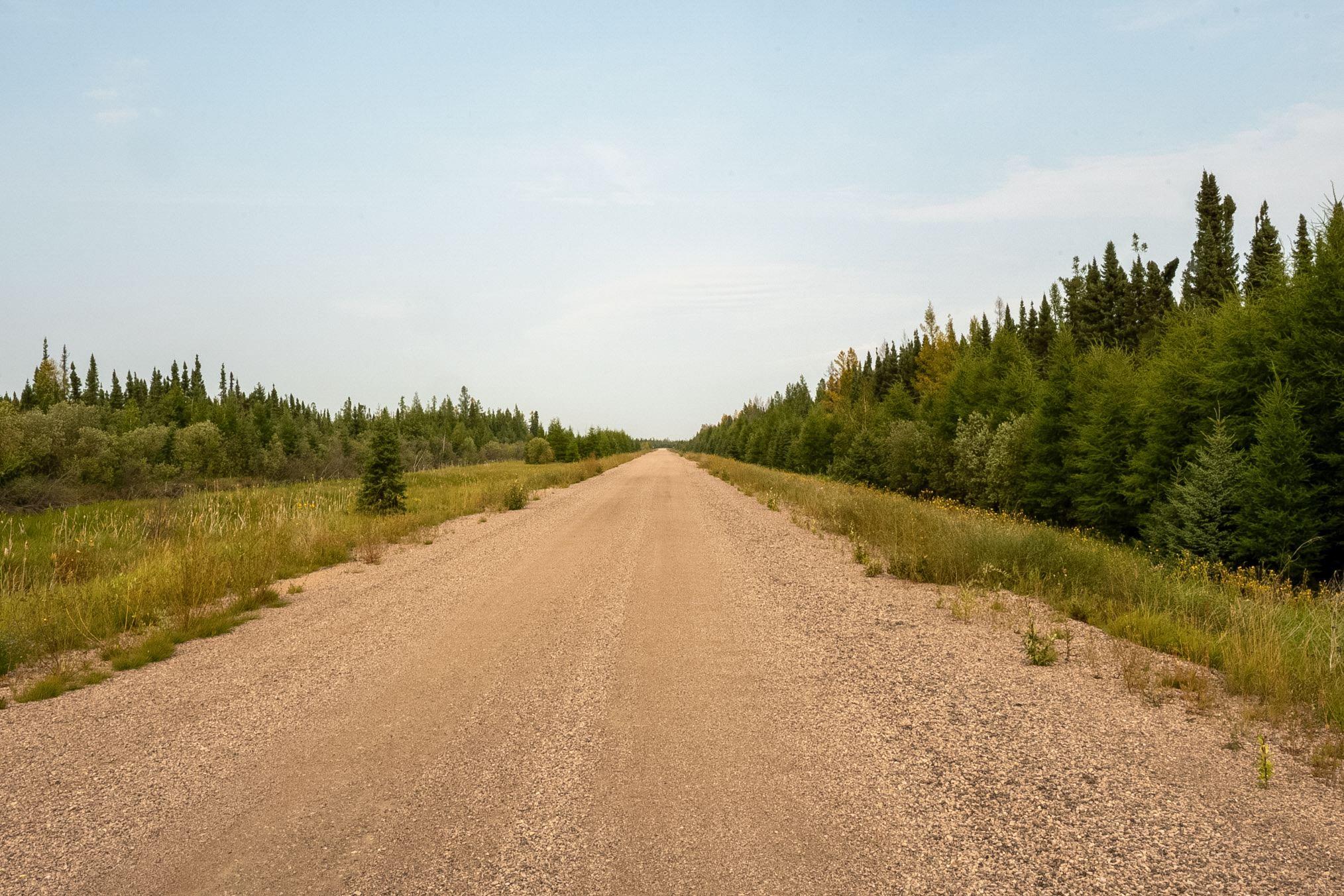
And this is looking to the side of the road from the same spot.
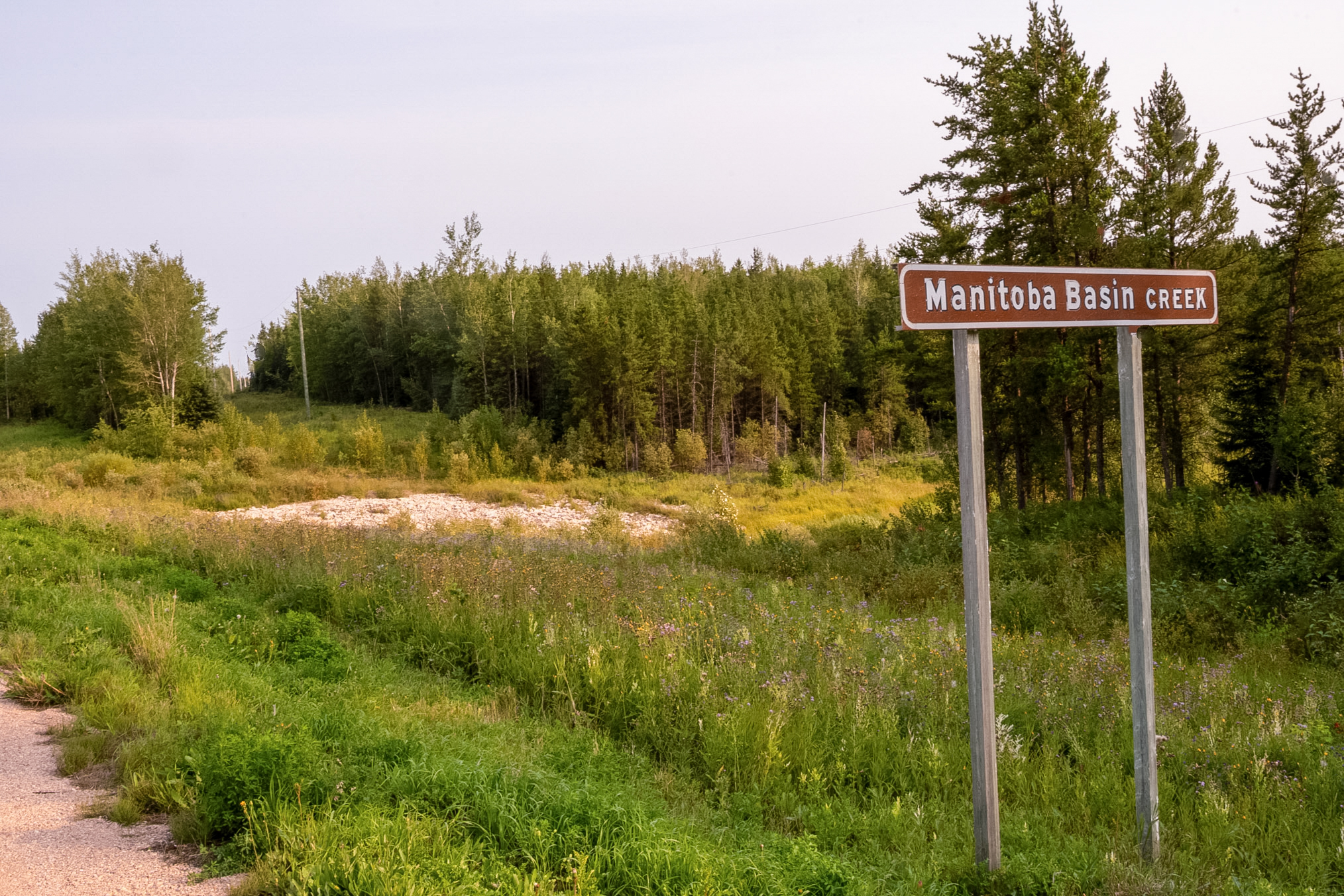
A little further south I photographed some of the features along the side of the road. This shows Manitoba Basin Creek.
This shows the creek looking to the east.
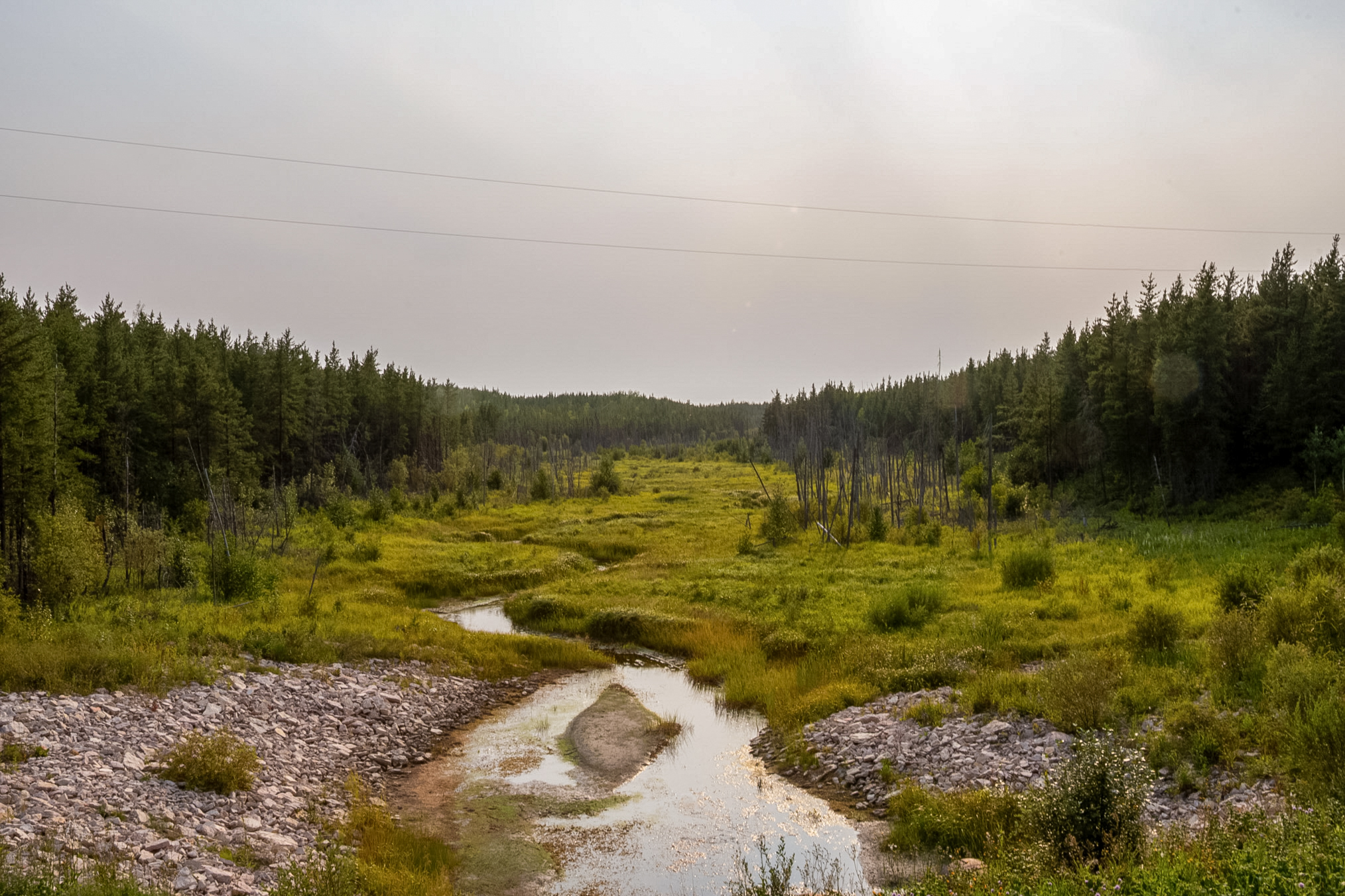
And this shows the creek looking to the west.
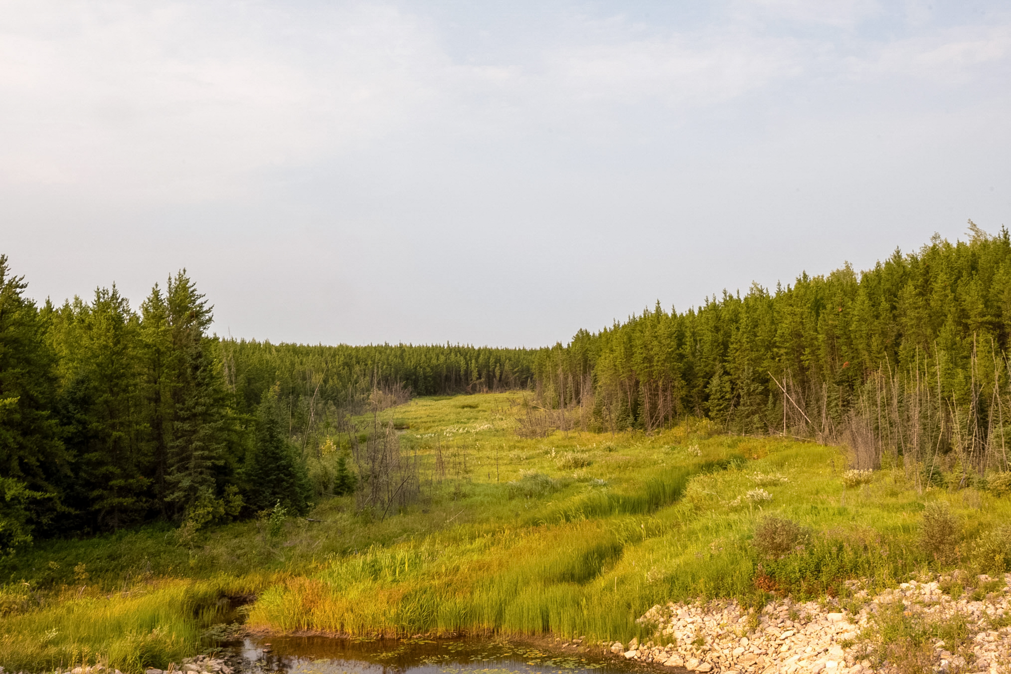
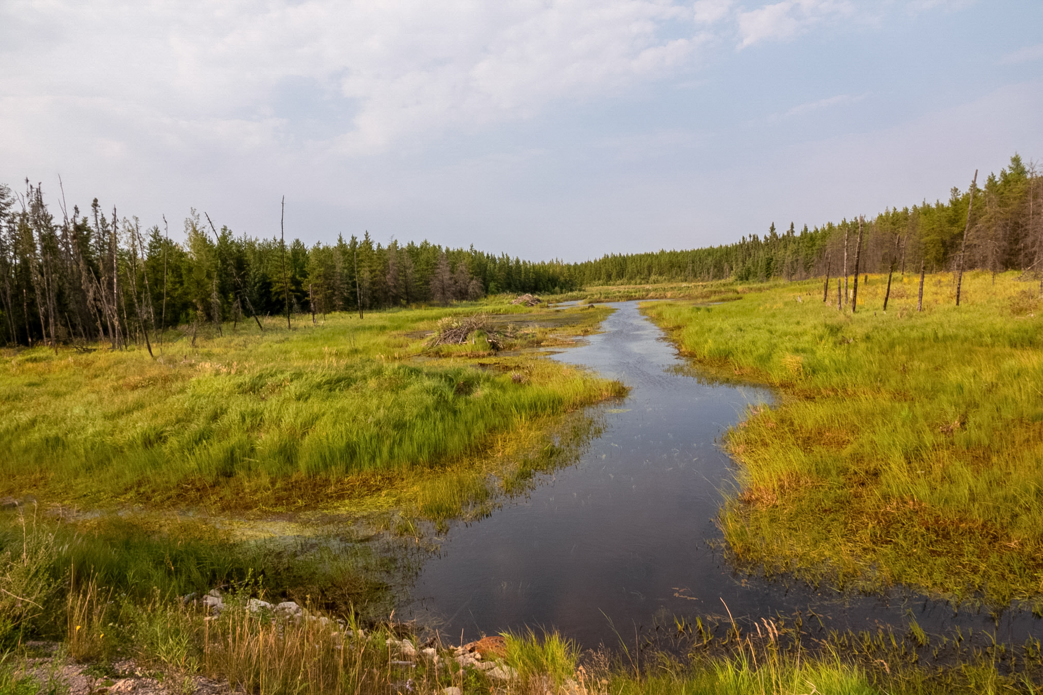
A little further south I saw several beaver lodges.
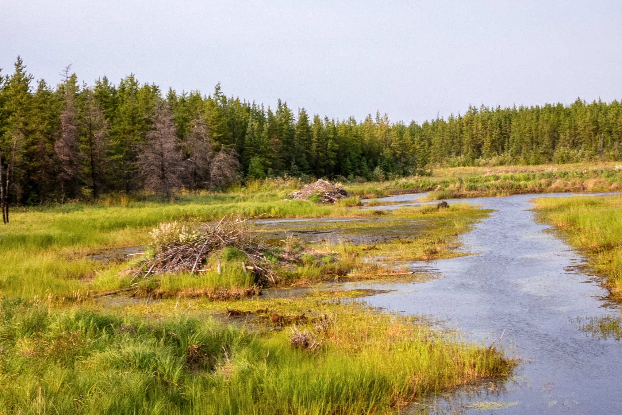
Here's a closer view. I found it odd that they were so close to each other maybe they were the same individuals or the same family.
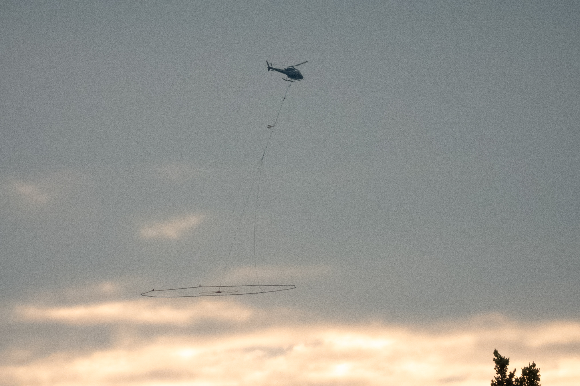
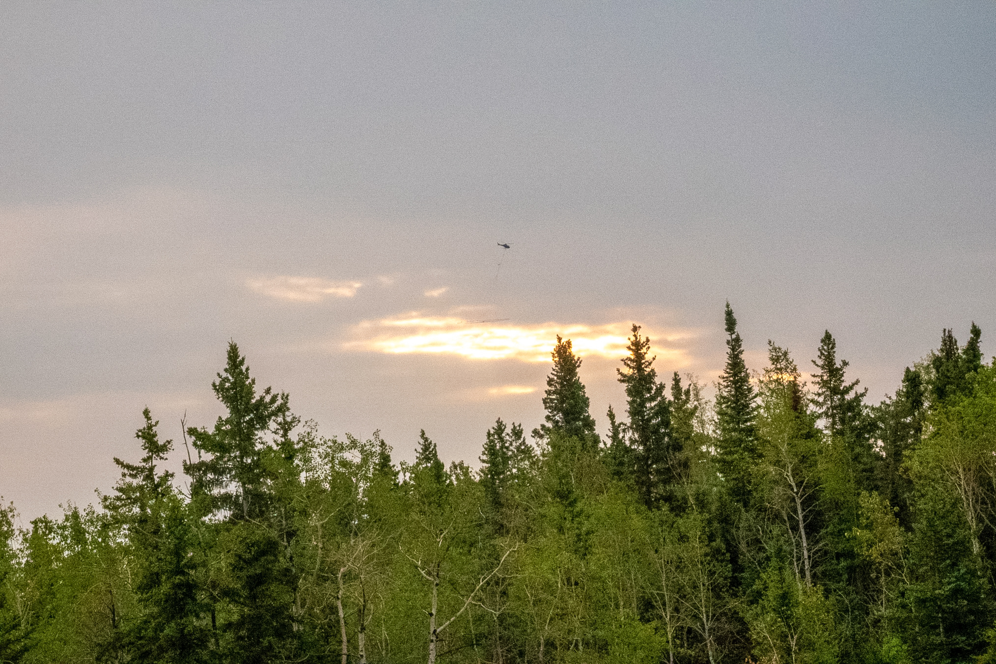
A low-flying helicopter conducting an Airborne Geophysical Survey. The aircraft is towing a large, suspended transmitter hoop (typically an Airborne Electromagnetic or AEM sensor array). This highly specialized setup maps subterranean features down to several hundred meters deep by generating electromagnetic pulses. In this subarctic wilderness environment, the crew is likely surveying for hidden groundwater aquifers, mapping bedrock depth, or evaluating localized mineral resources without disturbing the landscape.
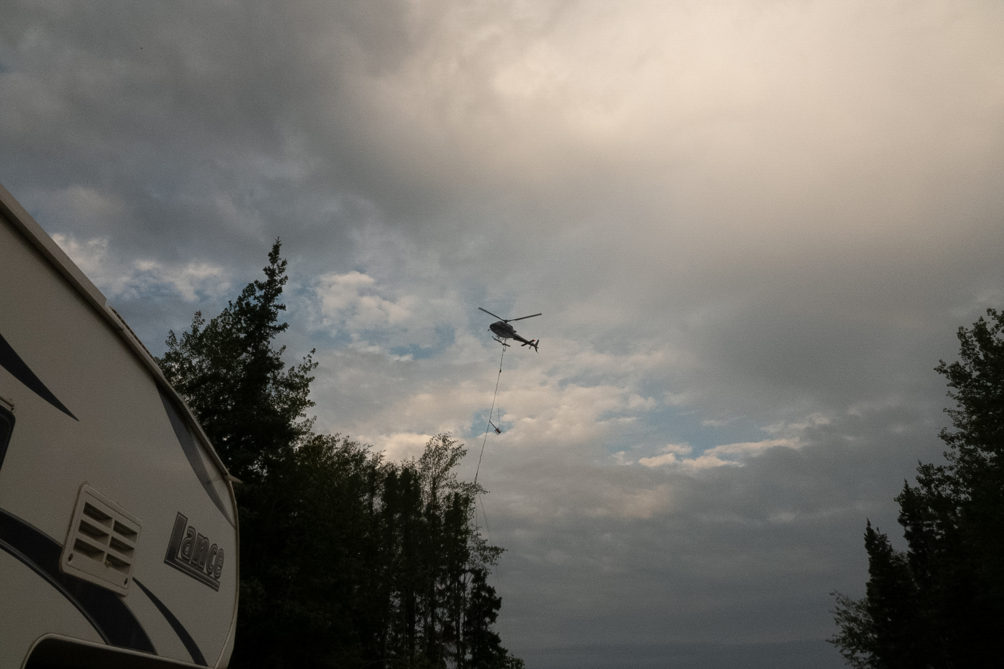
Conducting an airborne electromagnetic survey requires a meticulous and highly coordinated takeoff sequence due to the unique hazards of operating with a massive, low-hanging external cargo array. Before the aircraft even starts its engines, ground crews must execute rigorous pre-flight inspections on the specialized rigging system. The heavy cabling, Kevlar safety ropes, and multi-line rigging frames are secured directly to the helicopter's primary cargo hooks. This entire setup must be fitted with dual mechanical and electrical quick-release systems, allowing the pilot to instantly jettison the heavy sensor array in the event of an emergency.
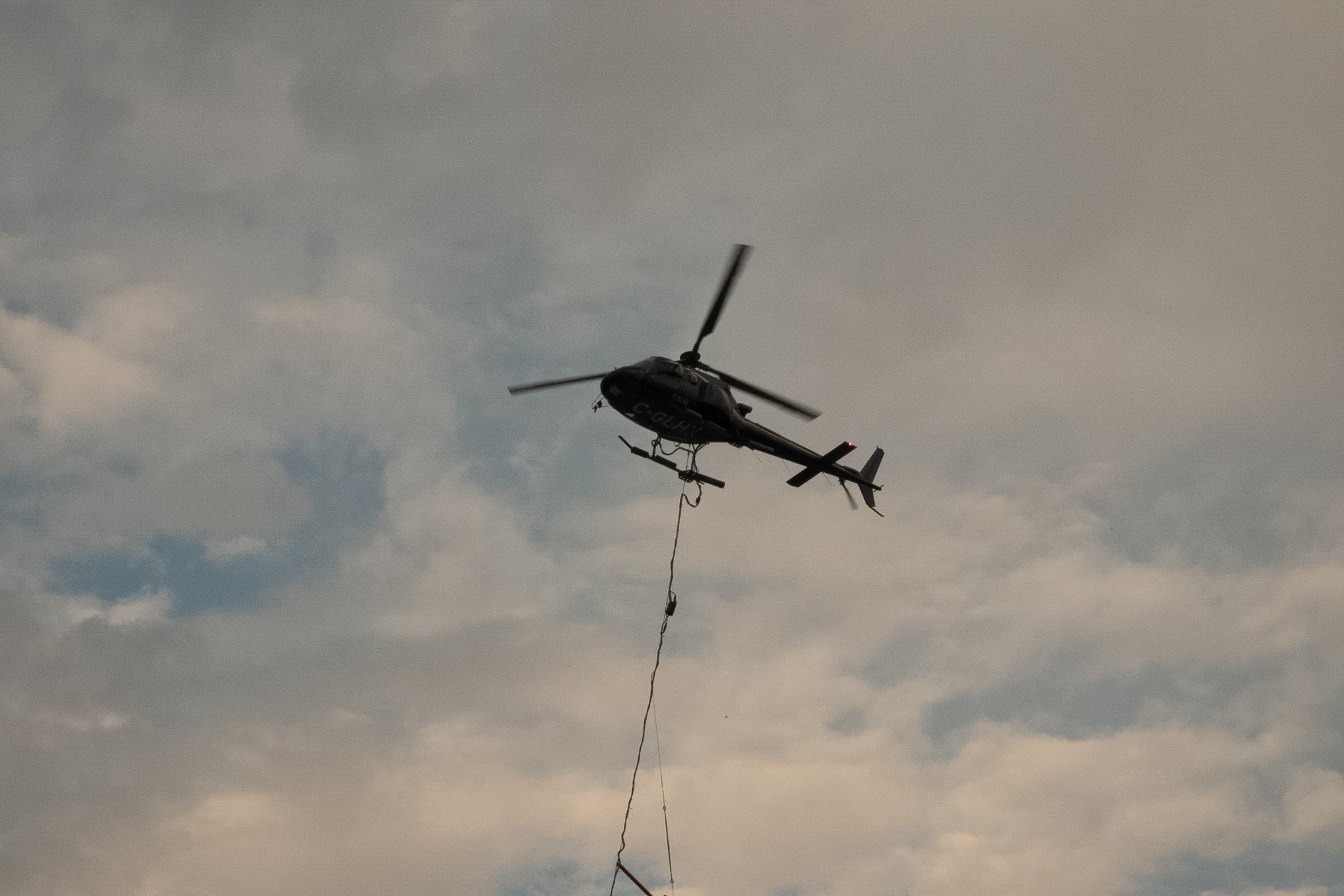
Static electricity management is another critical safety barrier that technicians must handle on the ground before lift-off. As the helicopter rotors spin in the dry, dusty, or cold conditions typical of northern wilderness regions, the friction generates intense static charges down the length of the long tow cables. Ground handlers must utilize specialized static discharge wands to neutralize these high-voltage currents before making physical adjustments or finalizing structural line connections. Touching an ungrounded cable during initialization poses a severe shock hazard to ground personnel.
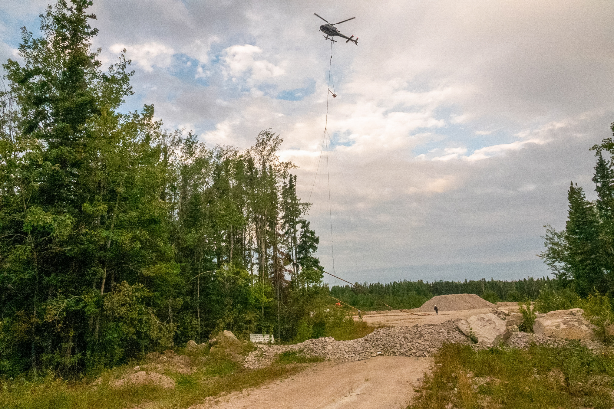
The launch site itself demands a completely sanitized perimeter to protect personnel from the severe downdrafts created during lift-off. High-velocity rotor wash from a heavy utility helicopter can easily transform loose gravel, branches, or unsecured camp gear into dangerous projectiles. Ground technicians are required to wear high-impact helmets, shatterproof eye protection, and high-visibility clothing while remaining outside a strict danger zone until the aircraft is fully clear of the staging pad.
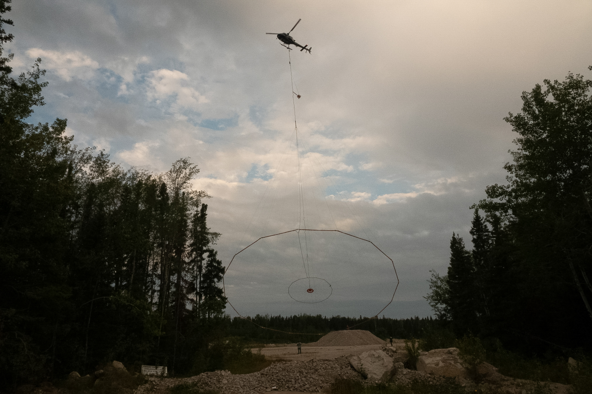
When the pilot initiates the liftoff sequence, the helicopter must execute a perfectly vertical climb directly above the center of gravity of the transmitter hoop. This vertical hover must be held steady as the aircraft gradually gains altitude to pull the slack out of the long multi-line cables. If the pilot introduces forward or lateral momentum before the cables are fully taut, the sudden tension spike can create a violent shock load that destabilizes the entire airframe.
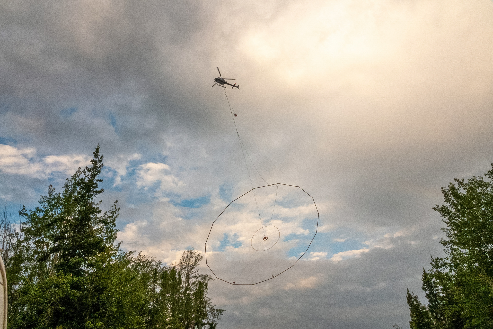
Once the suspension lines are completely straight and the full weight of the sensor array is transferred to the cargo hooks, the pilot carefully begins to transition into forward flight. This phase requires precise throttle control to lift the massive loop cleanly off the ground without allowing it to swing or catch on underlying terrain obstacles. The crew relies on smooth, progressive movements to prevent the aerodynamic drag from pushing the loop into a dangerous pendulum rhythm.
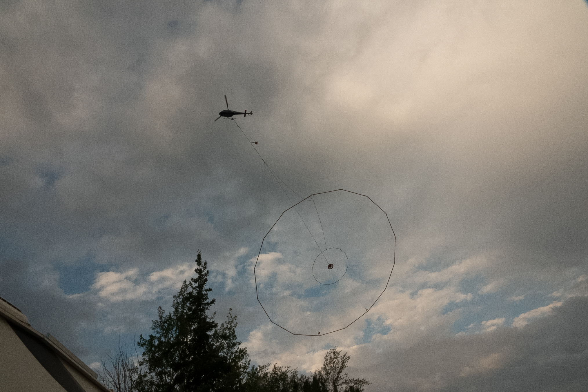
The flight path immediately following takeoff is carefully mapped out to avoid flying directly over camp structures, support vehicles, power lines, or ground personnel. Because the suspended sensor loop hangs hundreds of feet below the aircraft, the departure trajectory must offer maximum vertical clearance. The pilot cannot allow any passive loss of altitude while moving forward, a common occurrence in standard helicopter operations known as transitioning from a hover.
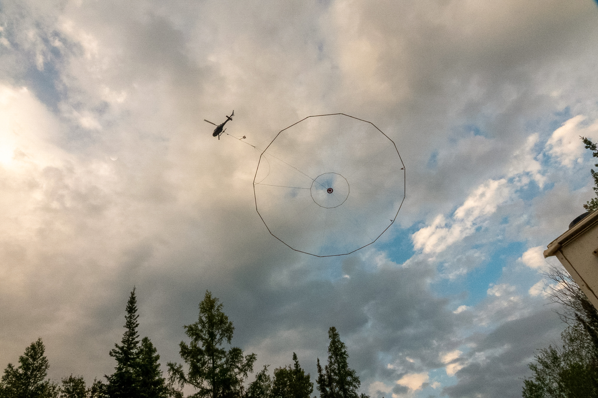
Throughout the launch, the pilot and flight crew continuously monitor real-time instrumentation measuring the tension and balance of the external load. Any unexpected shifting or twisting of the array beneath the belly can compromise the handling characteristics of the helicopter, requiring immediate correctional input. Clear radio communication between the cockpit and the ground controller remains active until the entire setup successfully clears the tree line.
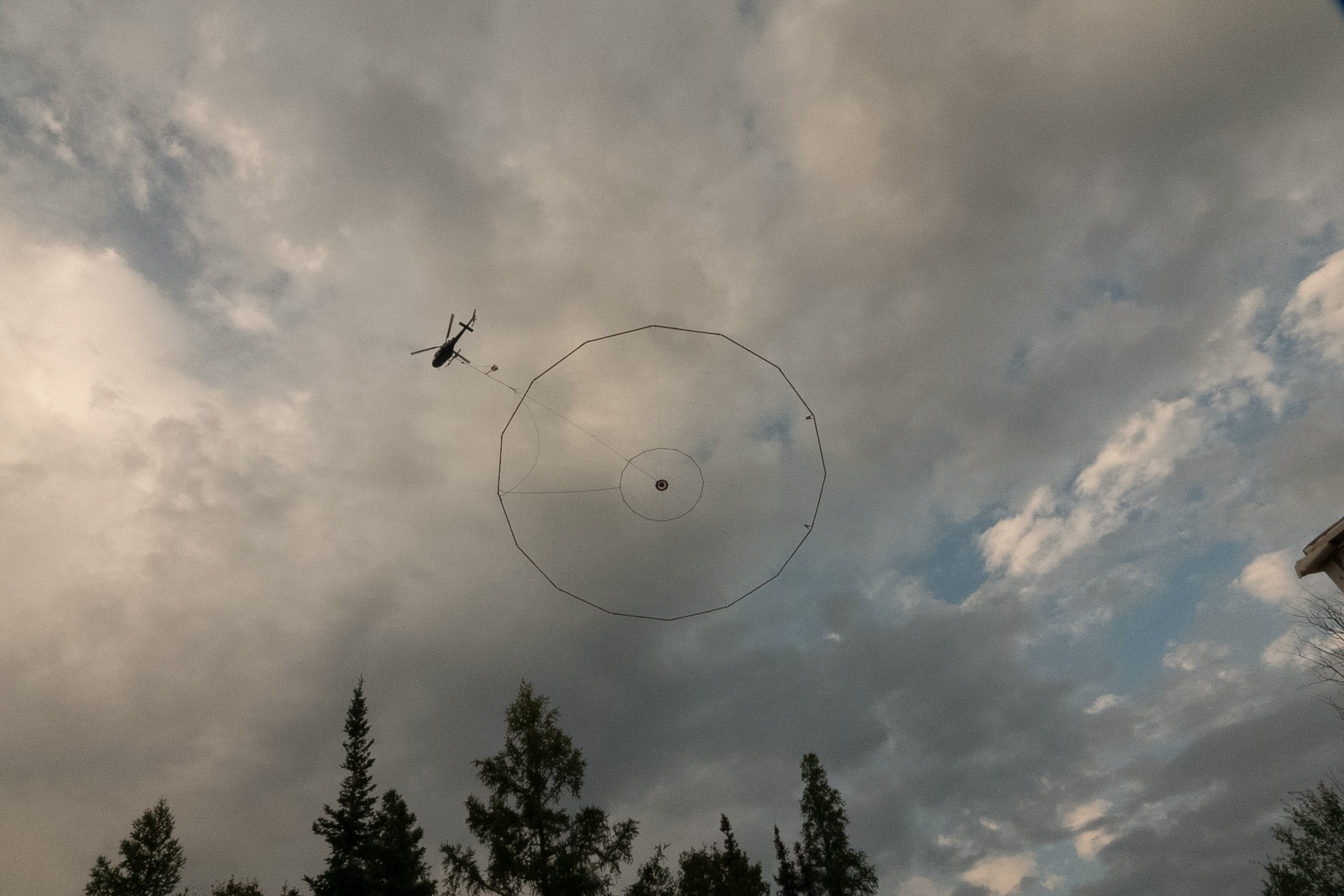
Once the helicopter reaches its targeted survey speed and altitude, the suspended loop stabilizes into its proper aerodynamic trailing position. Safely clearing the immediate staging area allows the crew to begin flying the tight, low-level grid lines necessary to image the geology hidden beneath the subarctic landscape.
This was at the junction of SK 39 and 10.
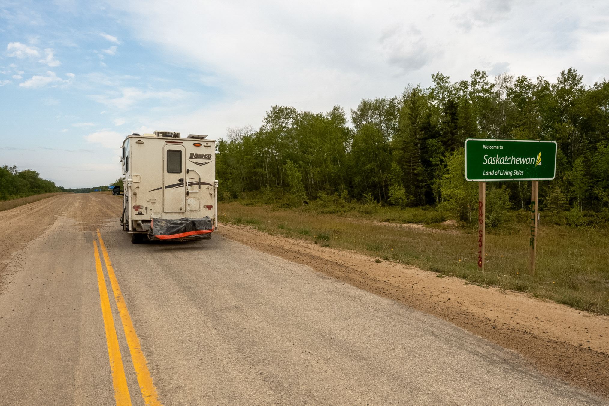
On August 24th I drove from The Pas Manitoba and headed east into Saskatchewan. The highway was paved all the way to the Saskatchewan border, but I was really, really disappointed to see that it turned into another improved primitive road. I really thought when I left Thompson that I'd seen the last of these dirt roads but I'd have to spend the next two hours driving down this road. Fortunately it lightly drizzled which kept the dust down. I could do about 60 to 70 kilometers an hour and while there were a number of logging trucks that I encountered I pulled over to the side of the road and they were driving pretty safely so it wasn't too hairy a drive.
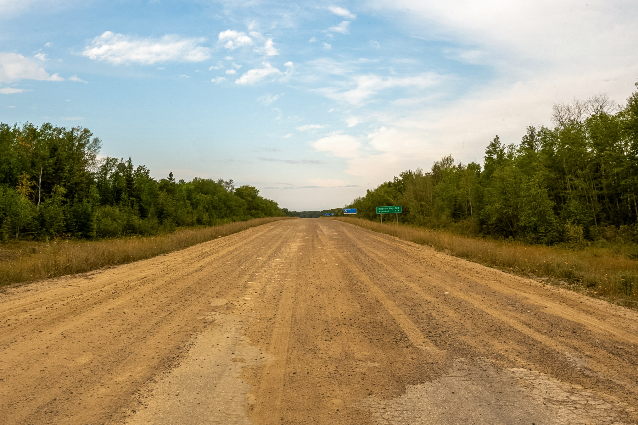
This photo is looking back toward Manitoba.
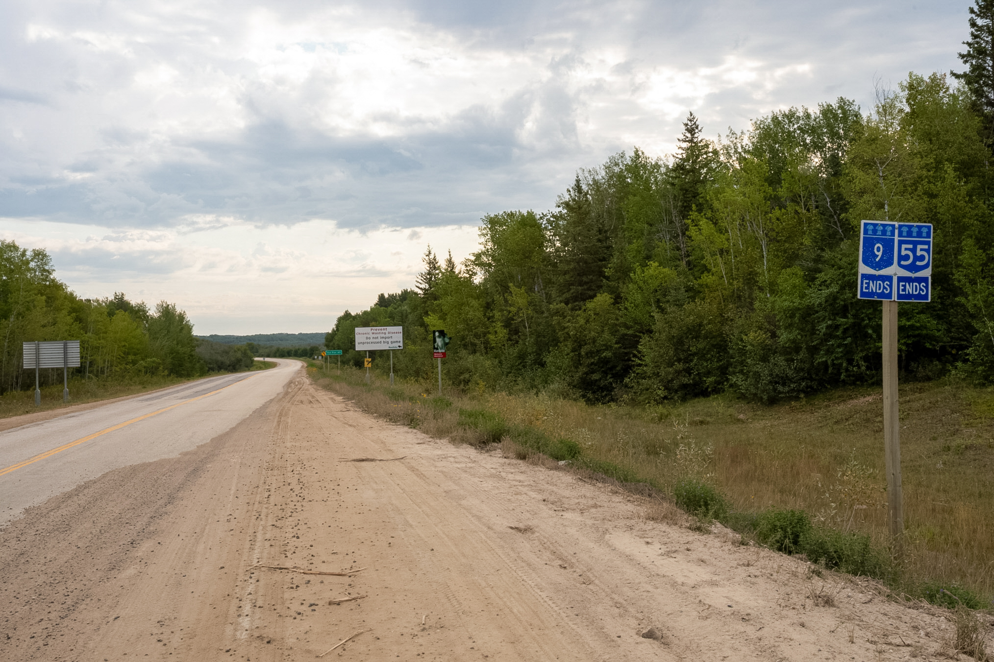
And this is one more heading into Saskatchewan which shows the Saskatchewan welcome sign.
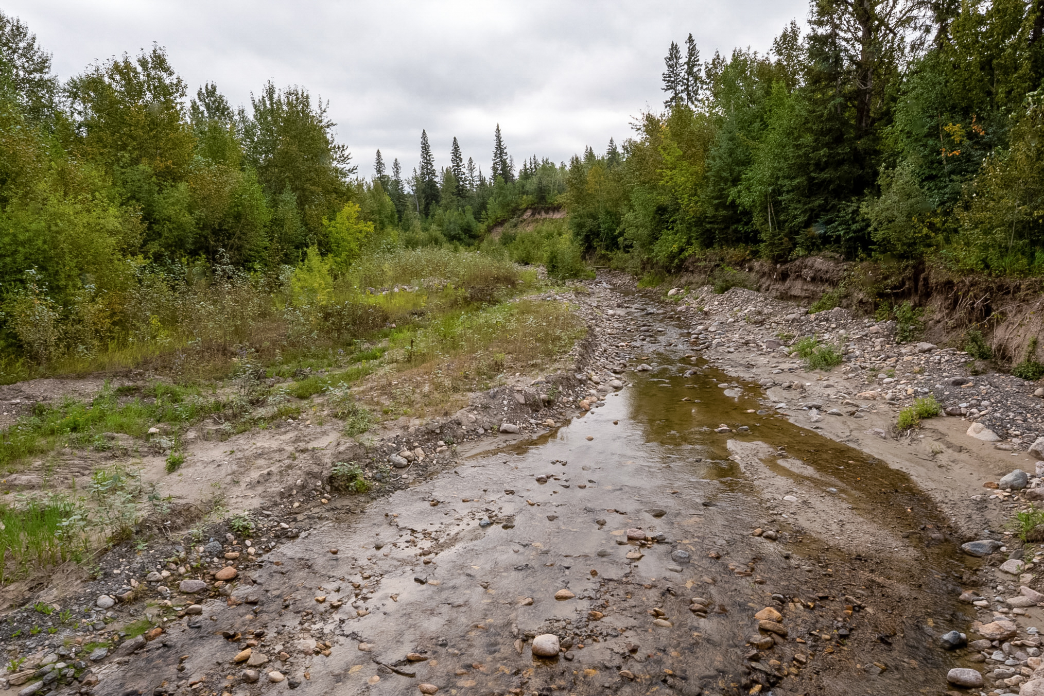
The creeks that I encountered in Saskatchewan were really kind of nasty. They were really rocky, muddy and not quite pleasant. As this was the dry season these were probably at a low point and they probably had quite the runoff in the early spring and summer.
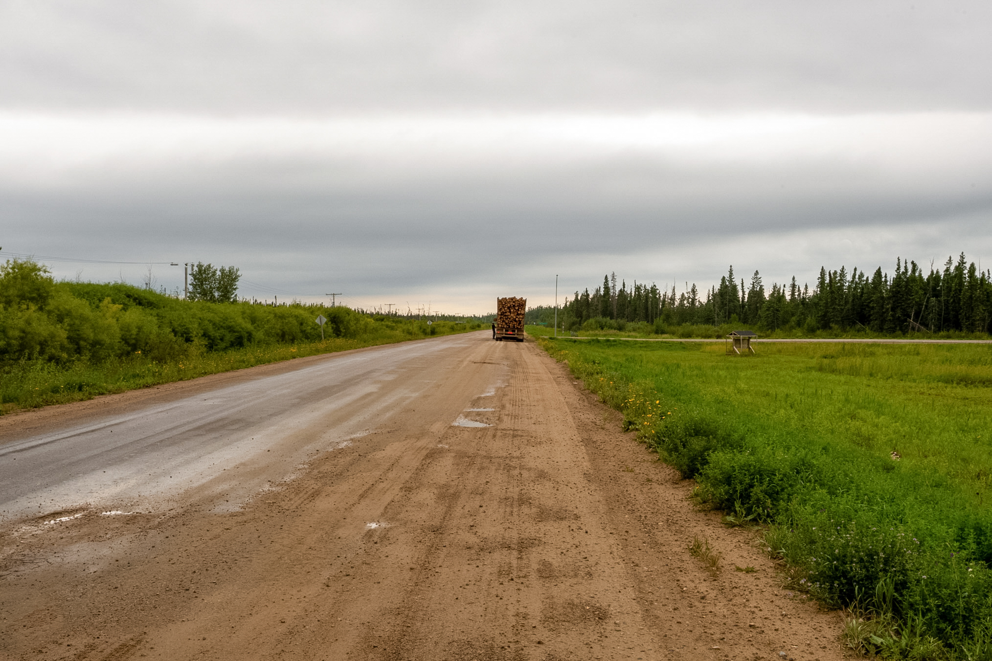
So after about two hours or so I hit the pavement again. This photo shows a logging truck parked ahead of me. I was really happy to see the pavement!
I drove the rest of the day as it was kind of dreary and I really didn't stop to collect butterflies. Drove through one large town and then headed south toward the border but then I realized that the border was only open 9:00 to 5:00. So I would stop about an hour north of the border and spend the night. As I headed south the landscape changed and now we had a large number of wheat or hay fields.
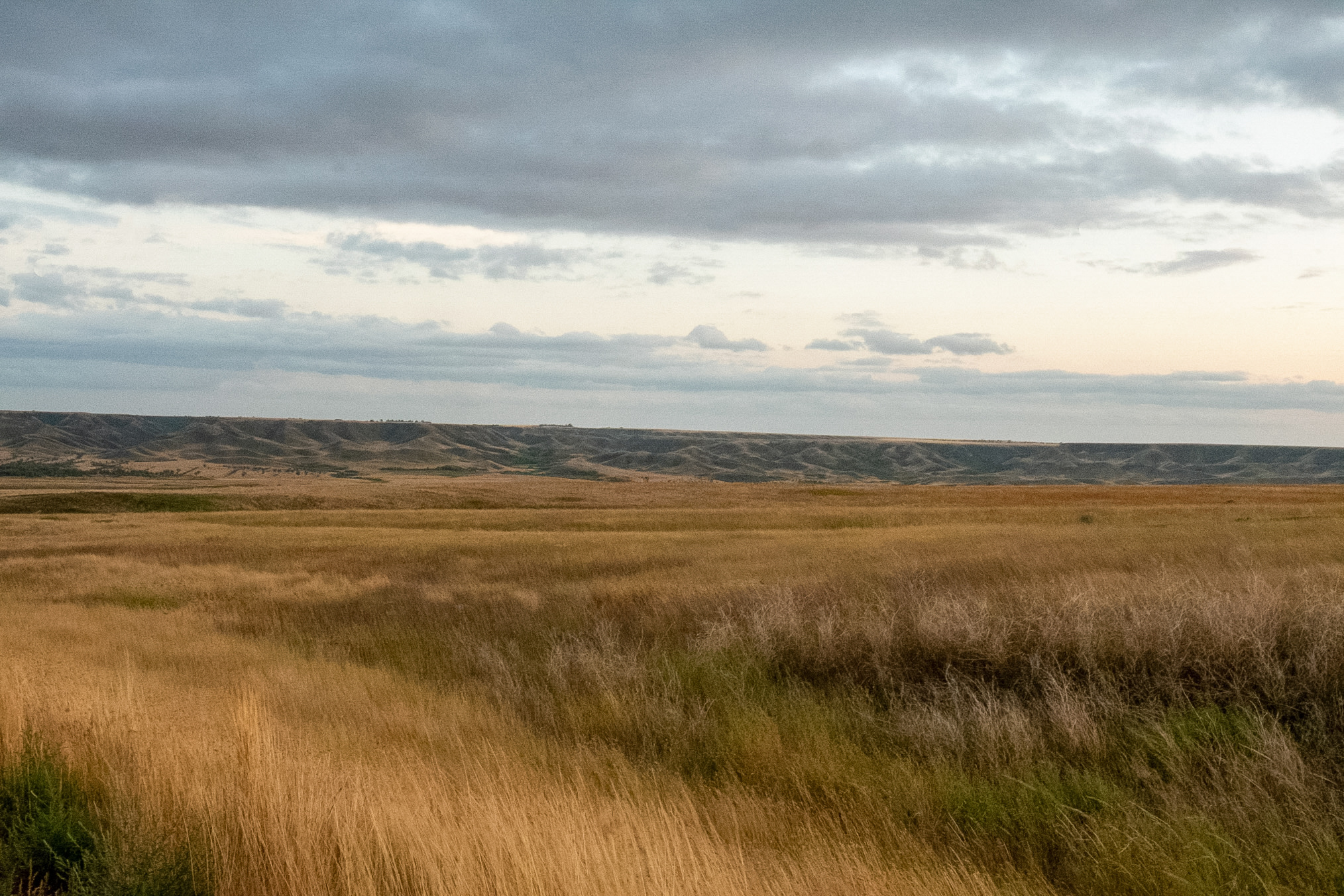
As I had seen nothing but boreal forests for the last six weeks I took a number of photos showing the contrast from my previous photos.
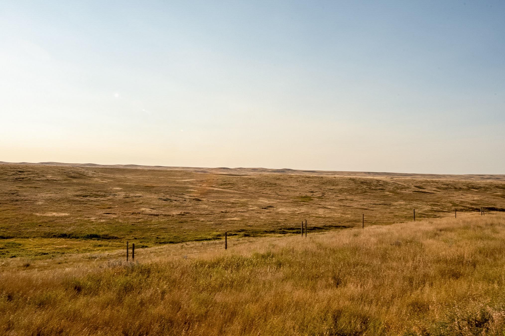
Late in the evening the skies cleared and it was quite nice although it was a little chilly.
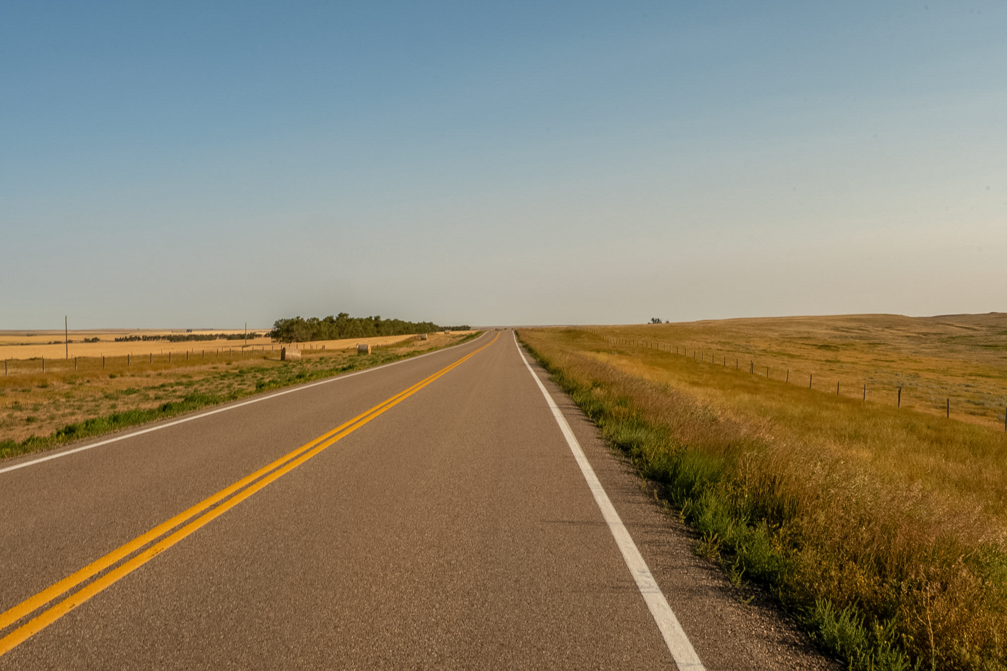
It's now the morning of August 25th and I'm making my way toward the border. It's still early and I'm trying to time it so that I get there right around 9.
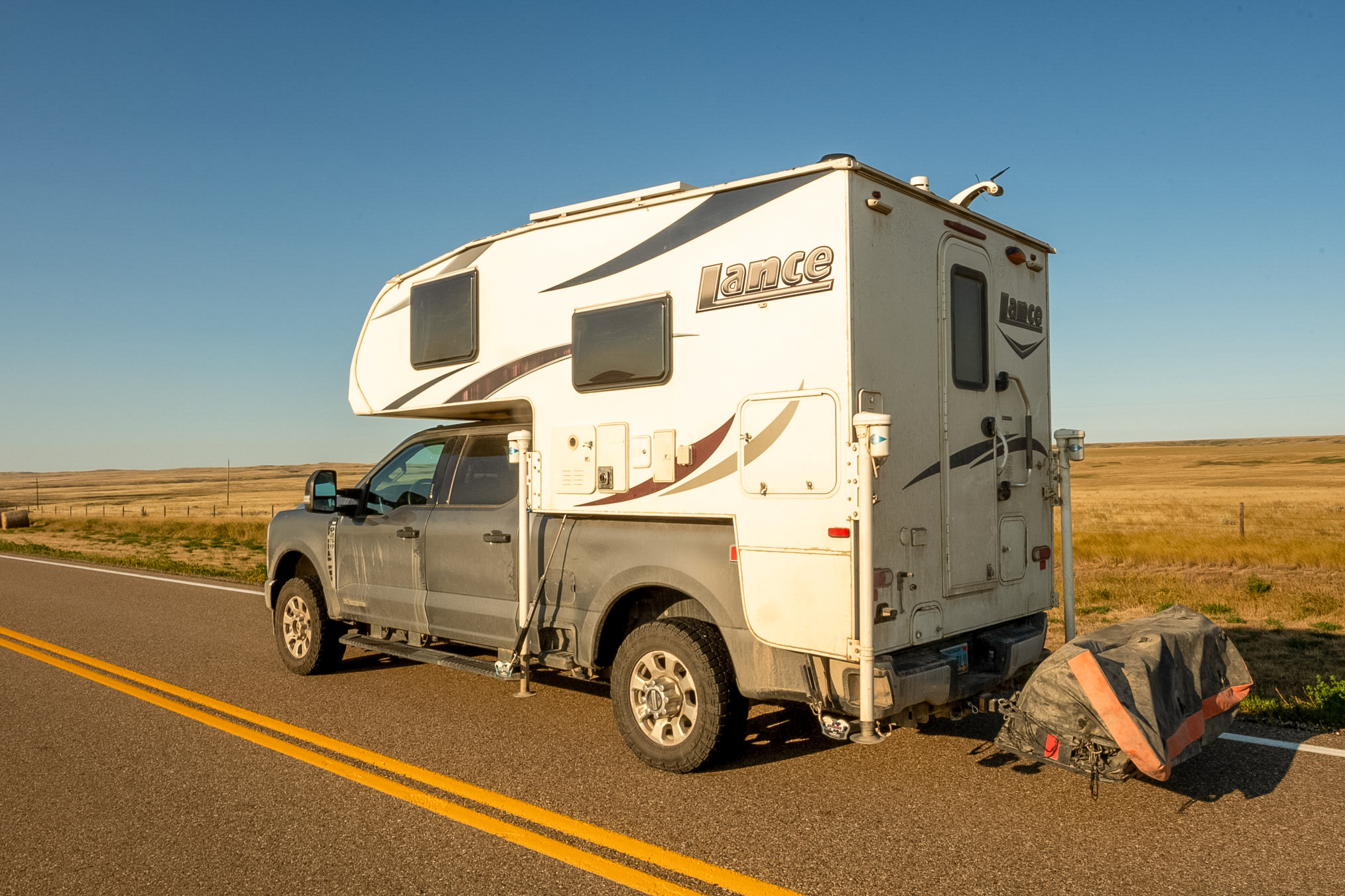
This is looking down the road from the last shot.

I'm back in the USA and it feels really good as it's been almost two months.
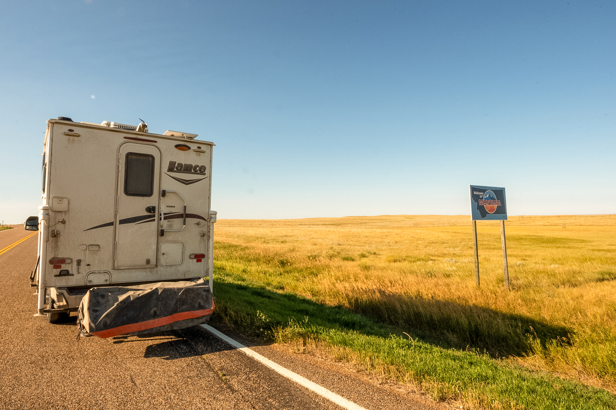
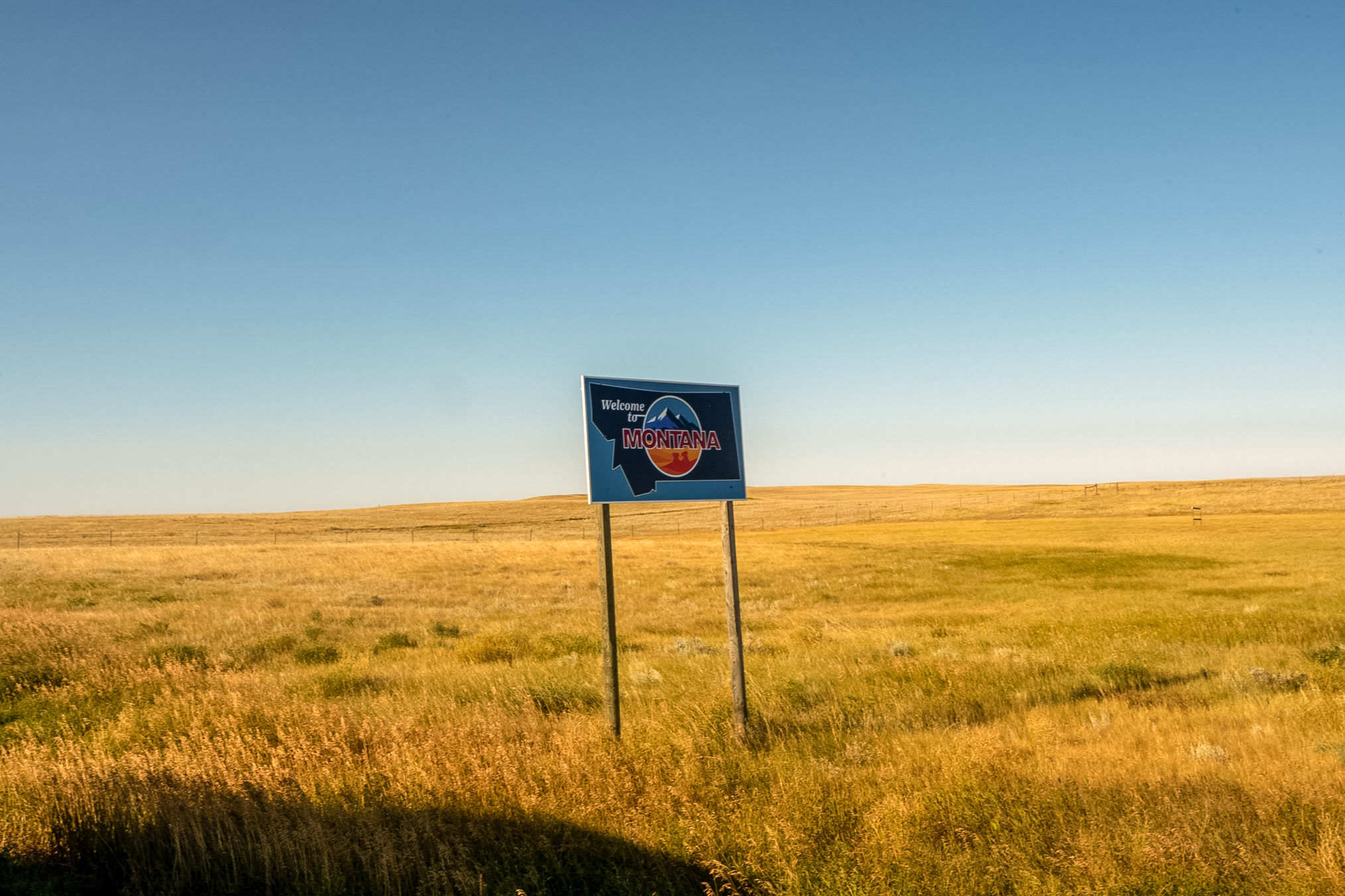
Here's the Montana welcome sign. Incidentally this was the end of US 191 and when the trip was over I would have driven every mile of the road from Arizona to Montana, including previous trips.
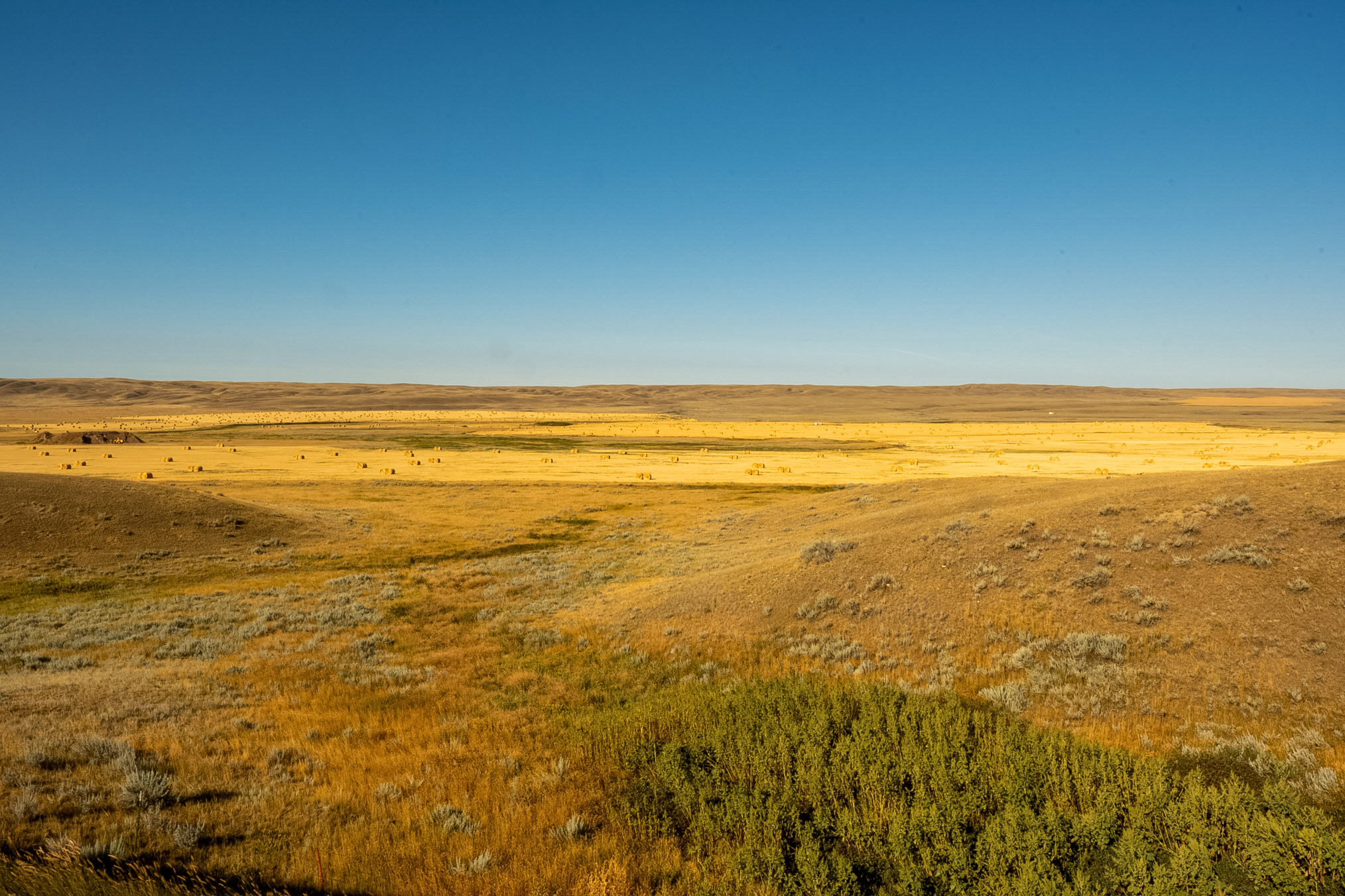
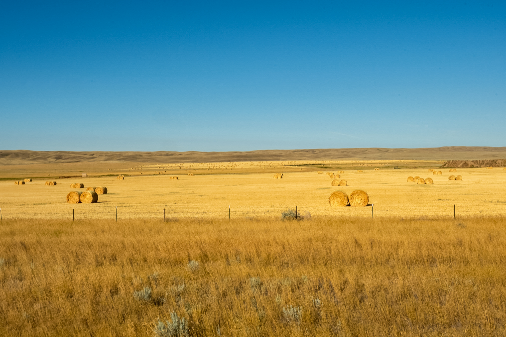
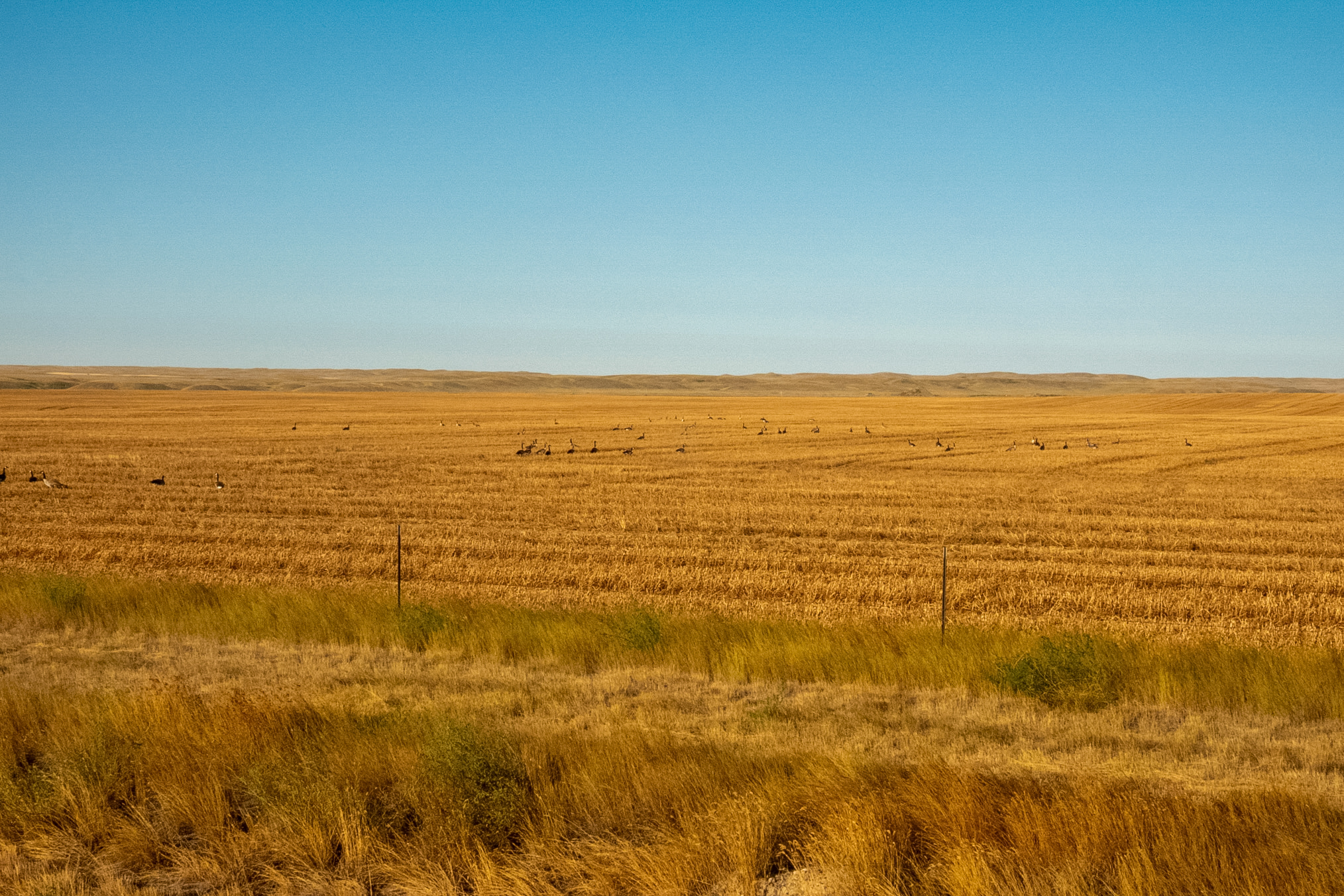
Showing more landscape photos, bales of hay that the ranchers were harvesting.
Here's another view.
And another view.
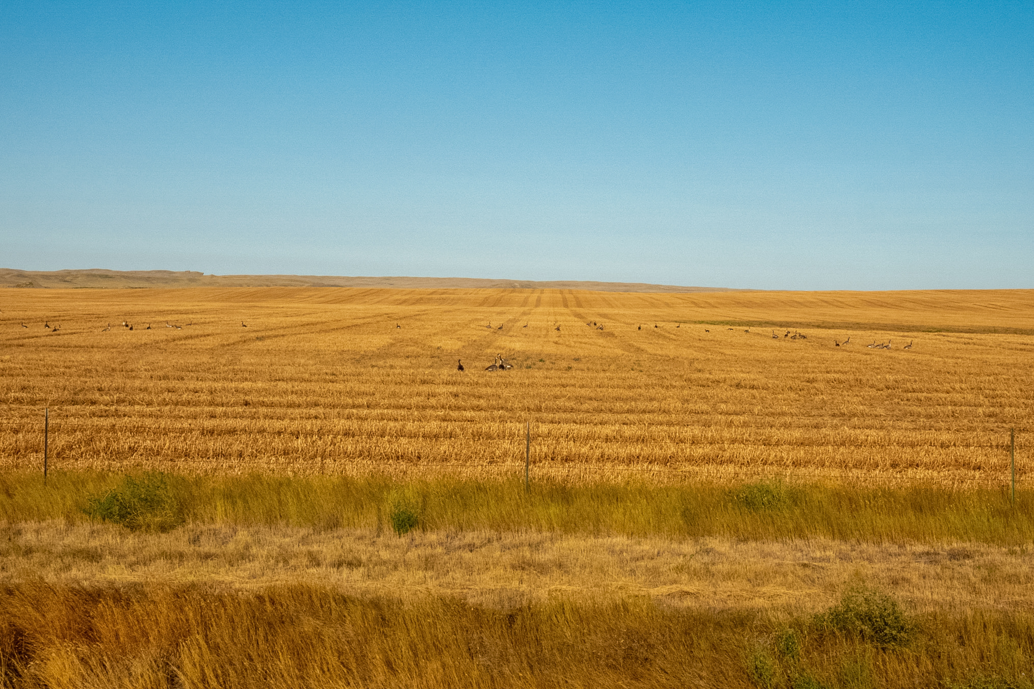
And another view.
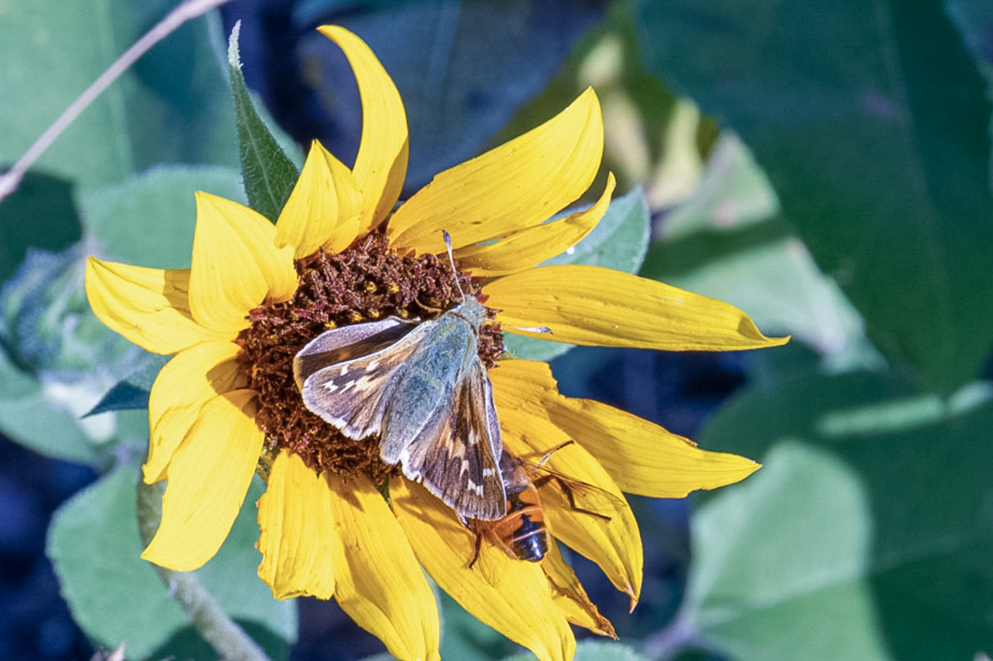
Just past the border I observed this H. juba nectaring.
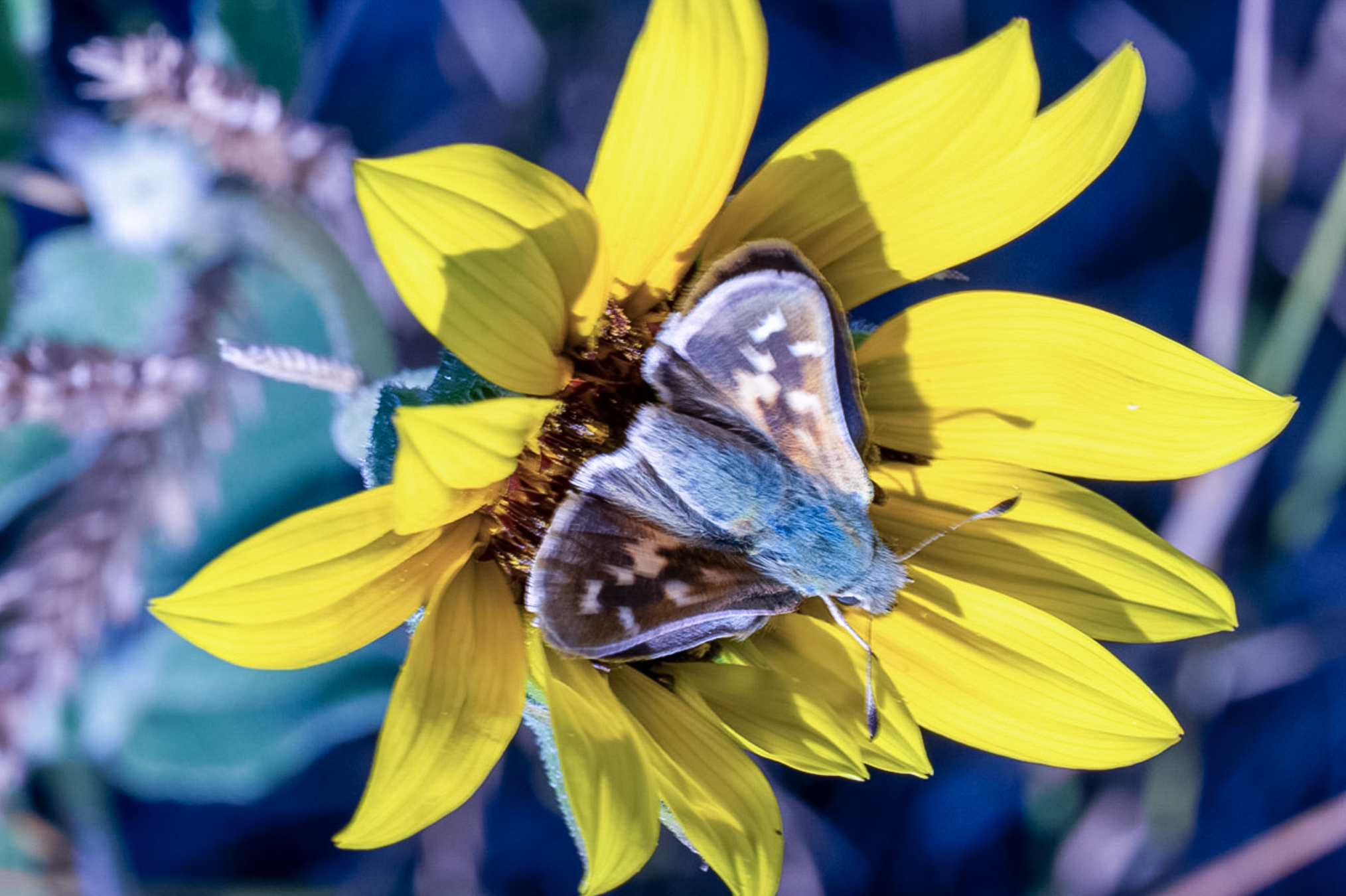
Here's another photo.
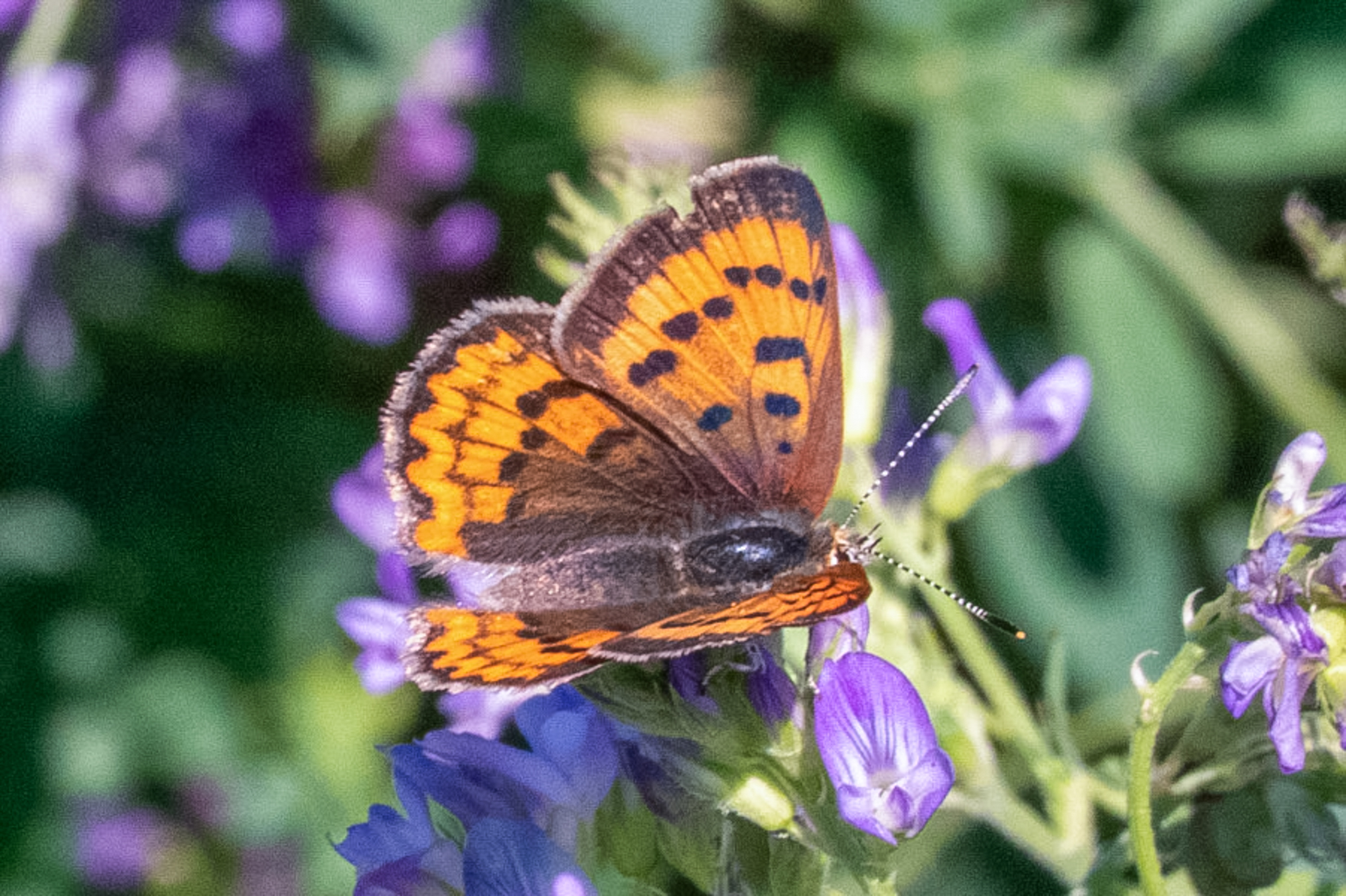
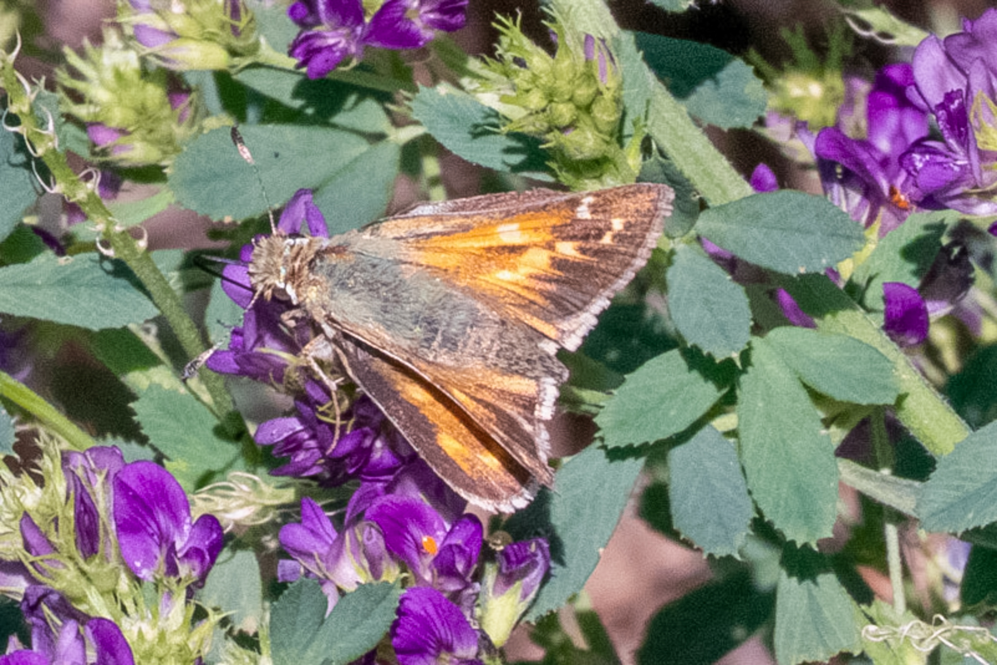
Several miles to the south the roads were lined with blooming alfalfa and other flowers and there was good numbers of butterflies although they were somewhat sundry. Here's a T. dorcas.
A worn juba.
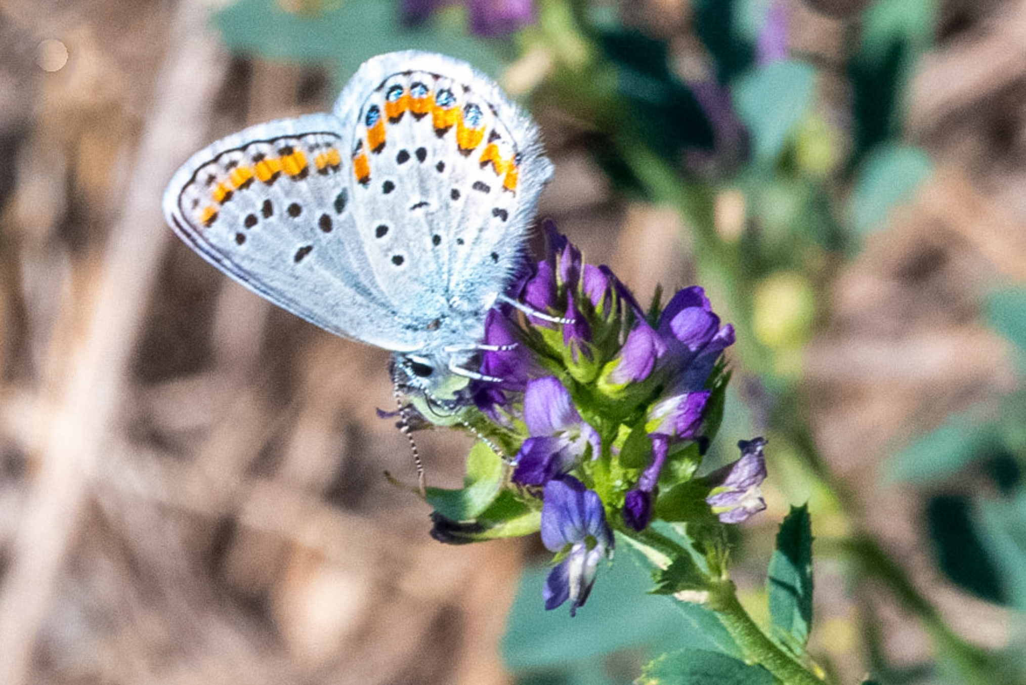
A pretty decent Melissa blue.
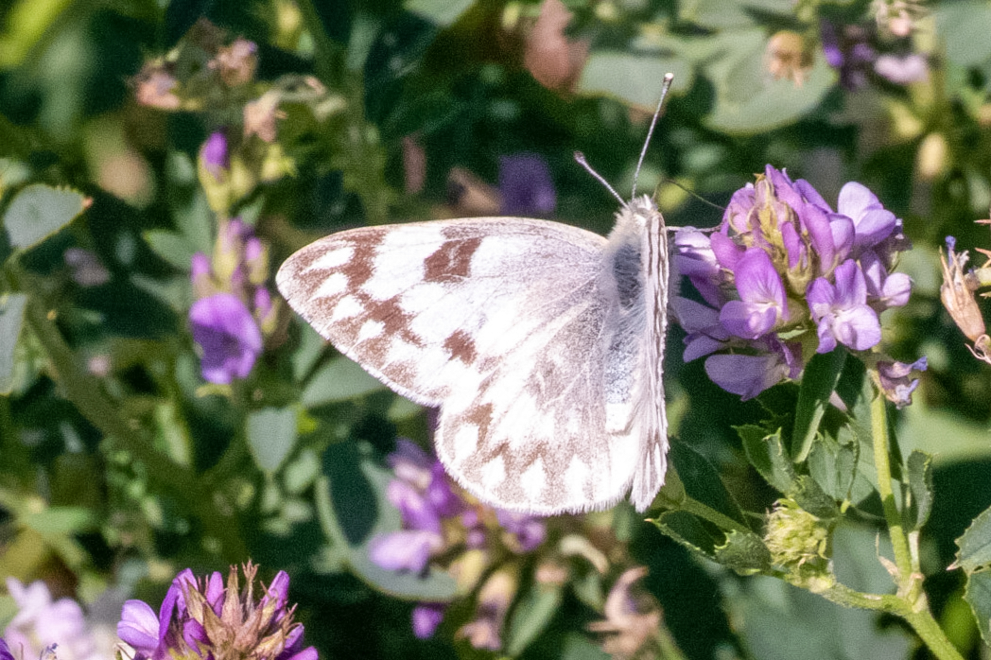
A female protodice.
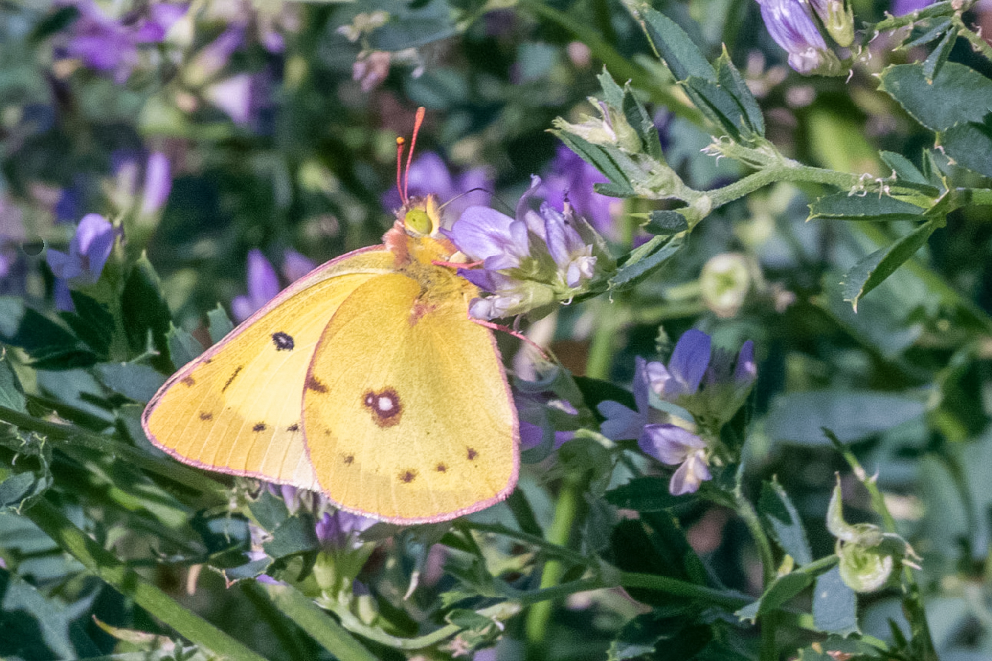
An Orange Sulphur (Colias eurytheme), nectaring on a purple alfalfa flower.
A dorsal shot of a Melissa blue.
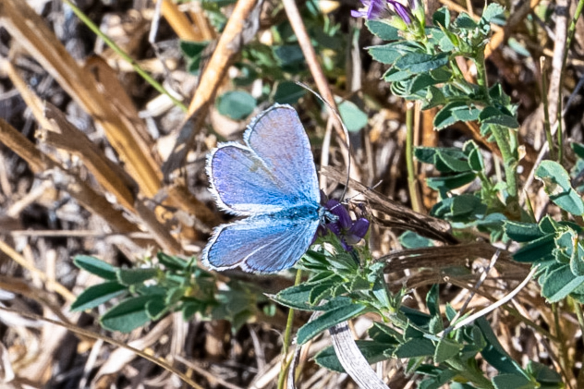
Another juba.
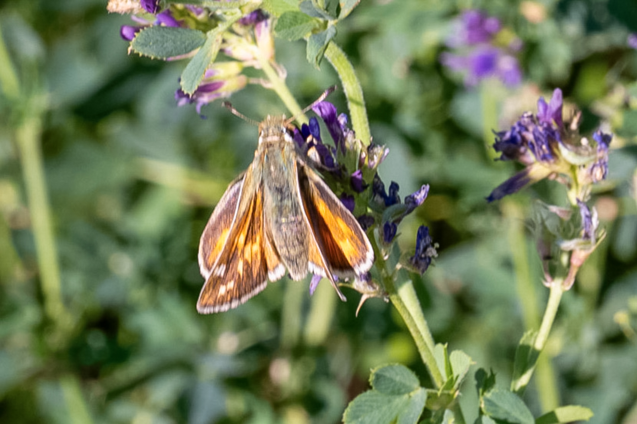
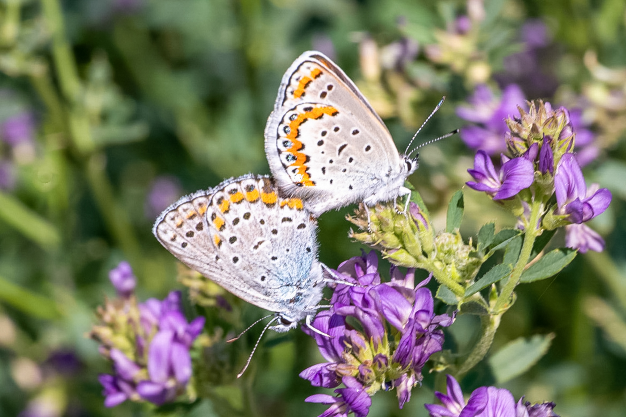
A pair of mating Melissa Blues.
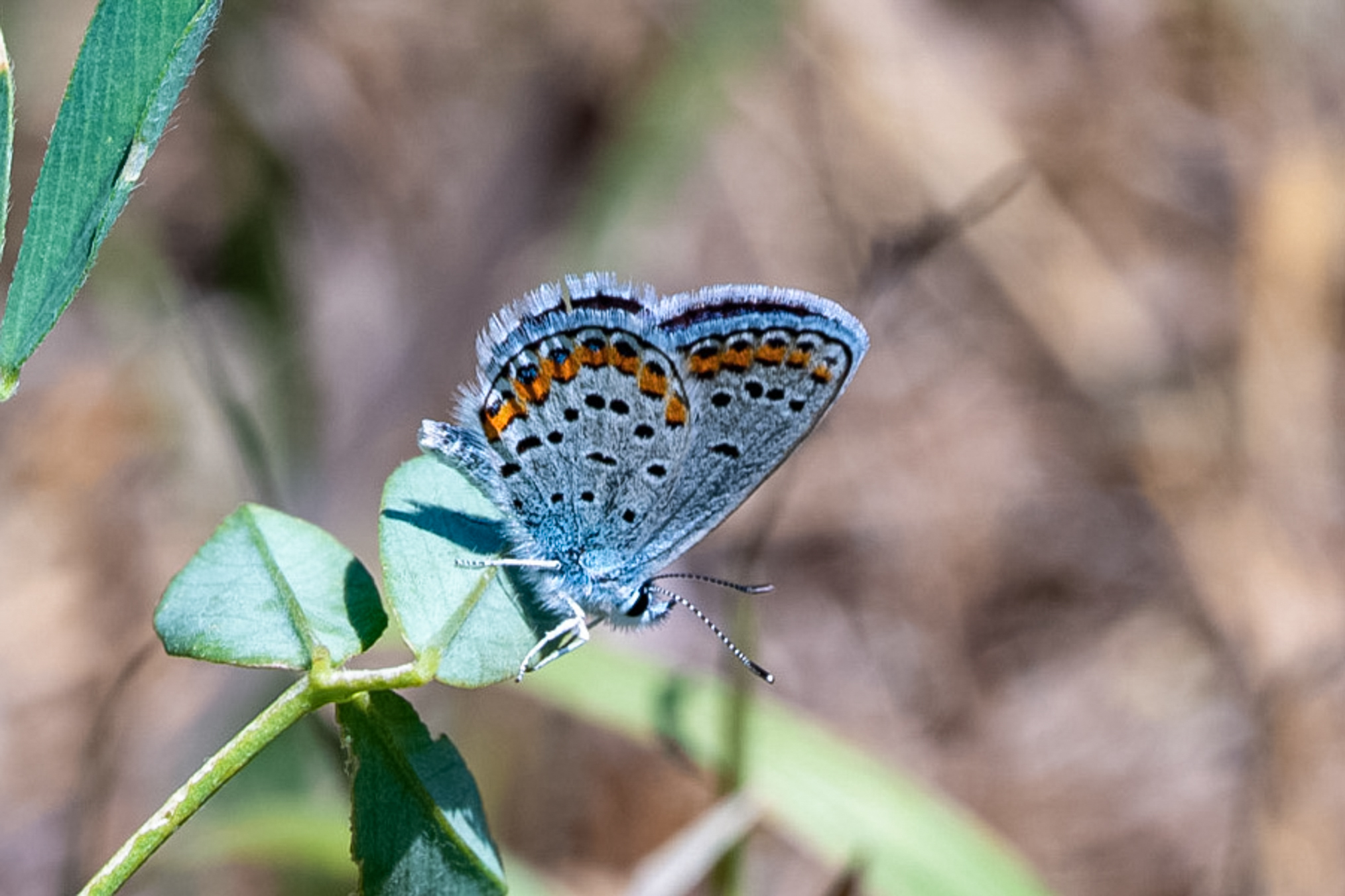
A nice photo of a Melissa blue.
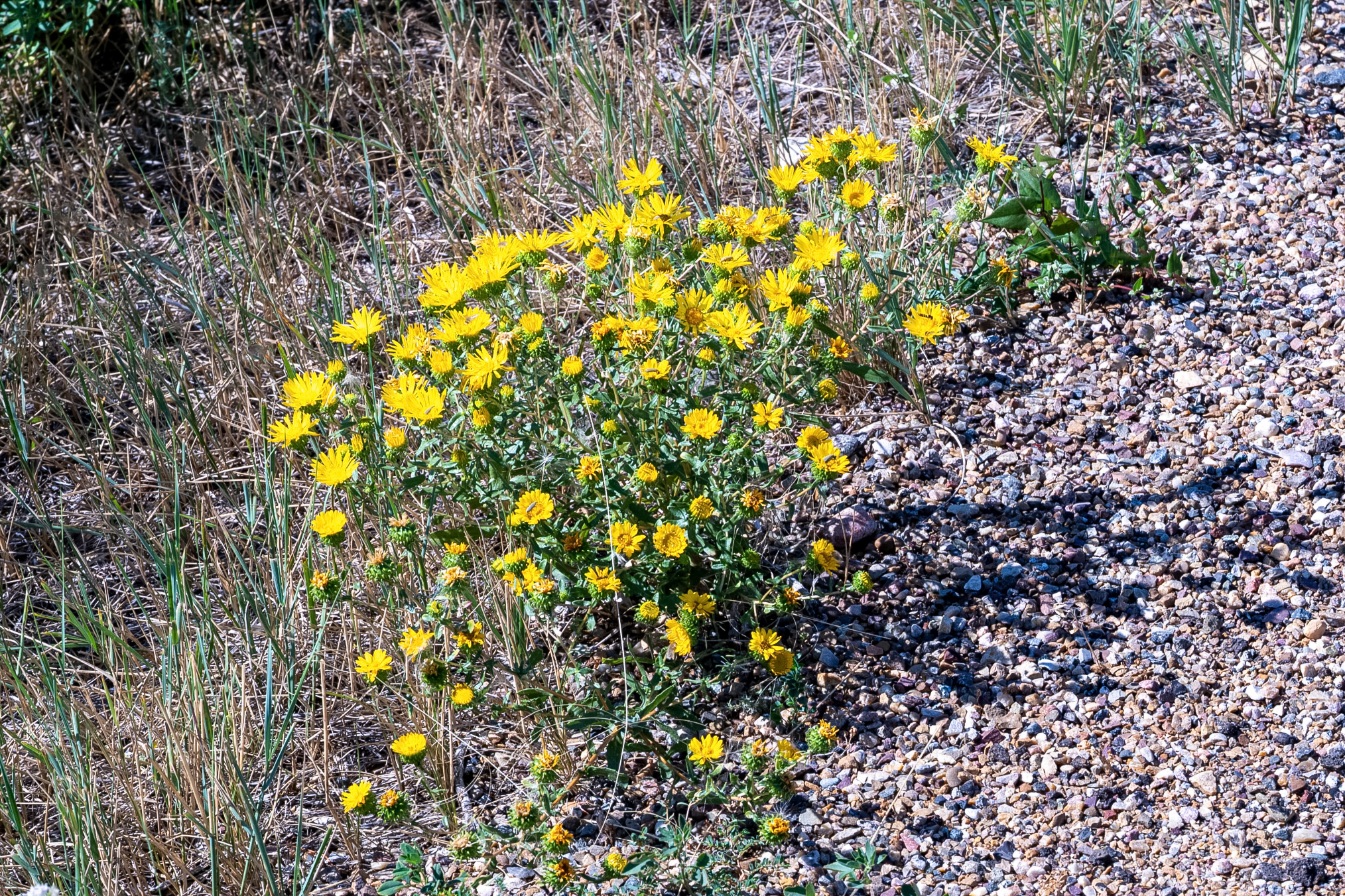
A robust cluster of Camphorweed (Heterotheca villosa, also known as hairy goldenaster) blooming on dry, gravelly roadside soil. This wildflower thrives in open, sandy or rocky habitats across North America, producing bright yellow daisy-like flower heads through late summer.
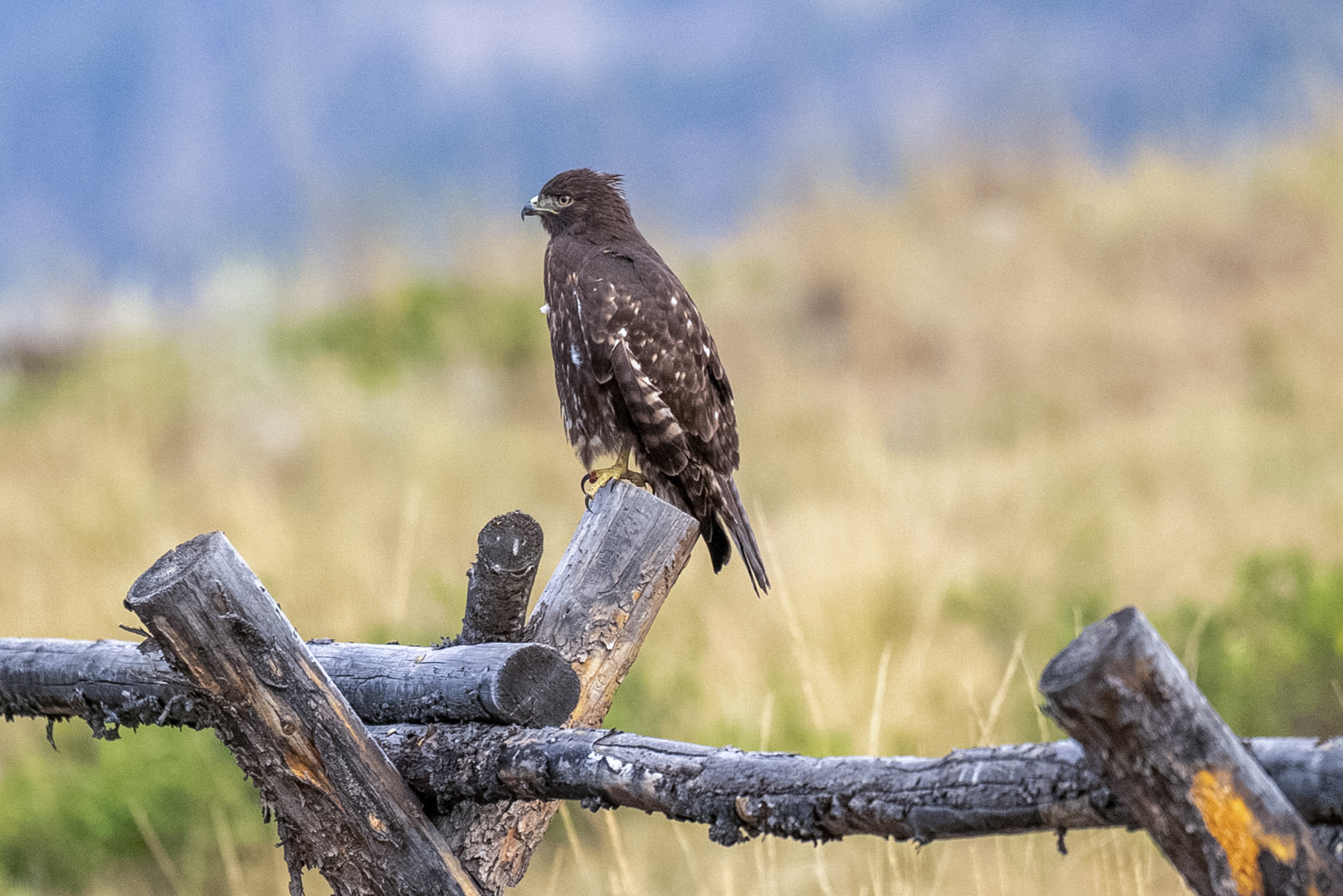
On August 26th I'm making my way to the Half Moon campground in the Crazy Mountains of Montana. A dark-morph Red-tailed Hawk (Buteo jamaicensis) perches attentively on a weathered wooden fence post against a soft, muted landscape background. This variant is entirely dark chocolate-brown underneath with its characteristic rufous-cinnamon tail feathers hidden from view while at rest. I'm bummed because I photographed this species three times on the trip and each time I thought it was a different hawk but all it was was different variants.
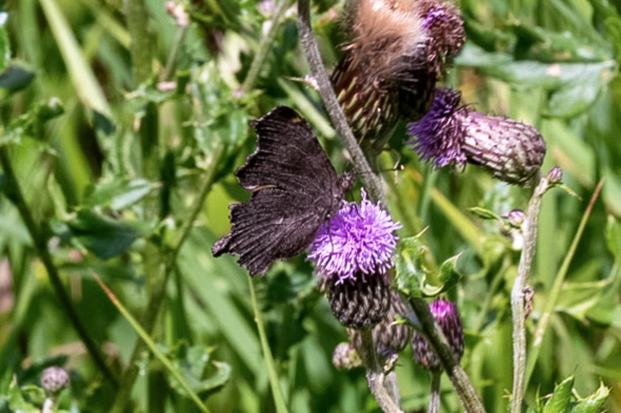
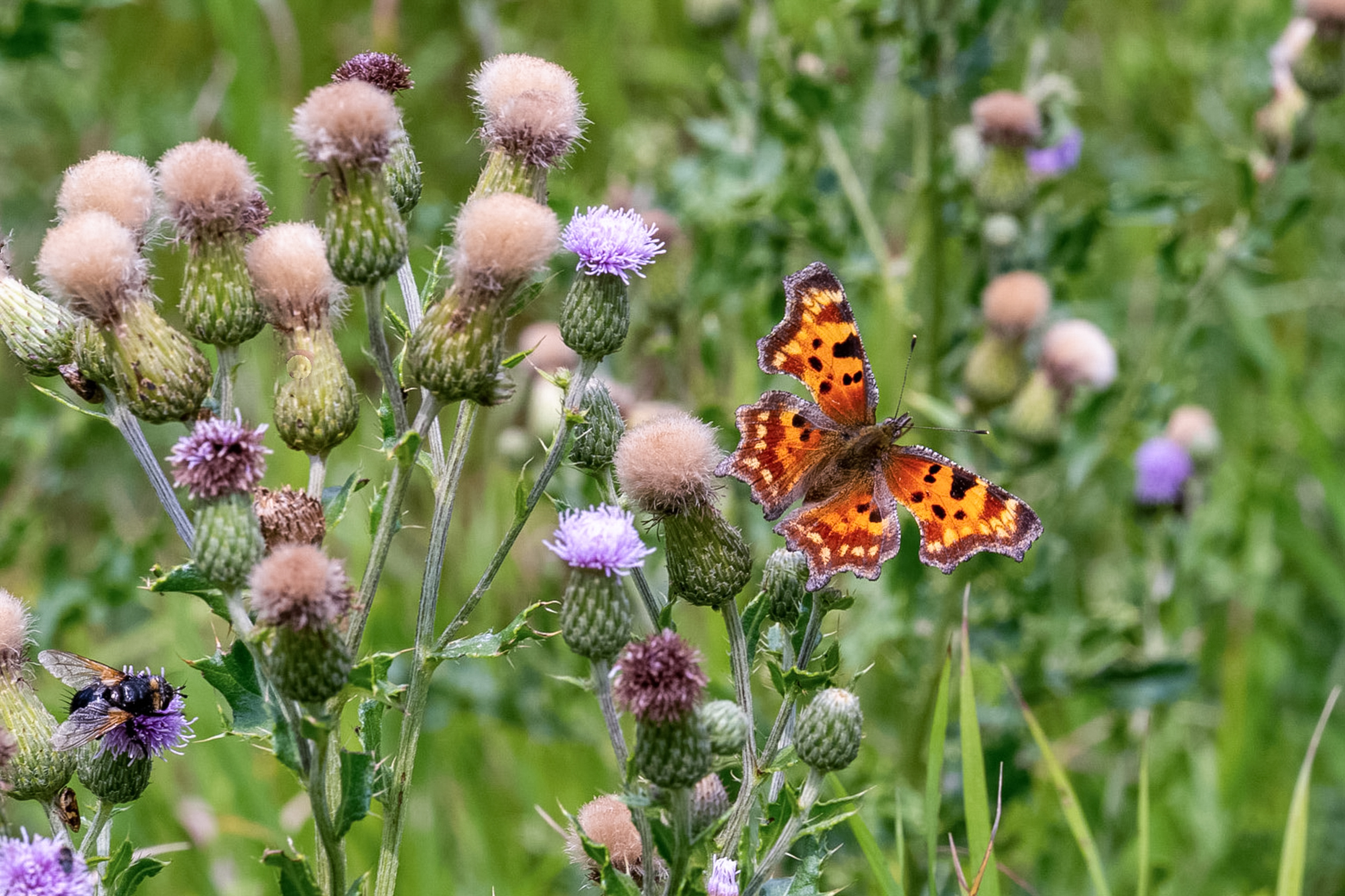
I had quite the day here, taking more than 100 butterflies, one of my better days of the trip. Almost all of them were my target species Polygonia faunus. This of course is the type location for subspecies cenveray. They were primarily nectaring on Canadian Thistle on this day. This was interesting because I'd been here several years previous about a week later, I think on September 6th, and on that day they were all nectaring on rabbit bush. So I was actually quite fortunate in that I had done laundry early in the morning and got a later start than I would have liked - my original plan was to walk over to a meadow about 200 yards to the east where the rabbit bush was, but I never made it, as their were many right by my truck. I went over there later in the day and there were hardly any butterflies flying so I may have been in the wrong spot if I'd stuck to my original plan. This photo shows a female.
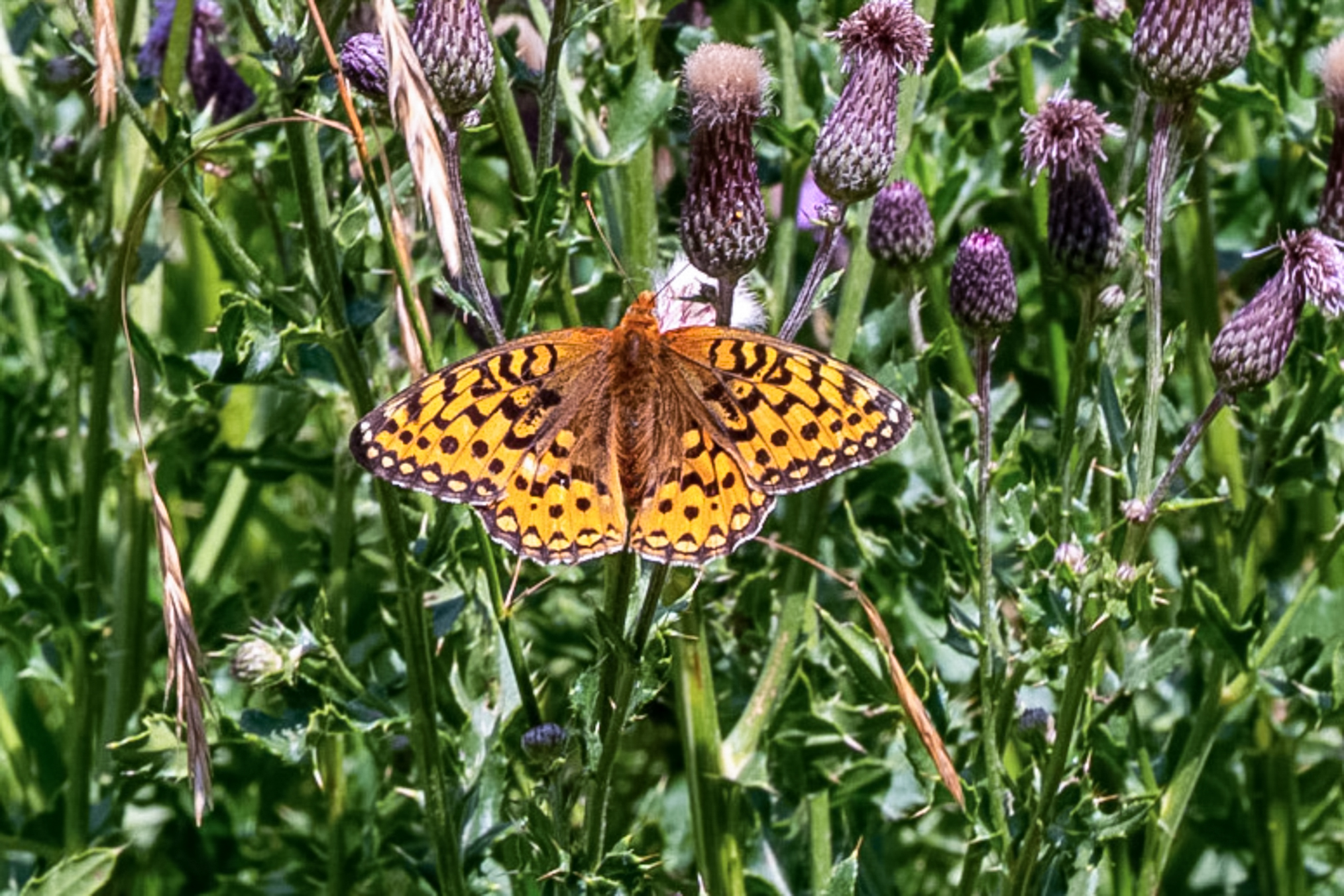
Here's an Argynnis, yet to ID.
This photo shows a Polygonia gracilis zephyr.
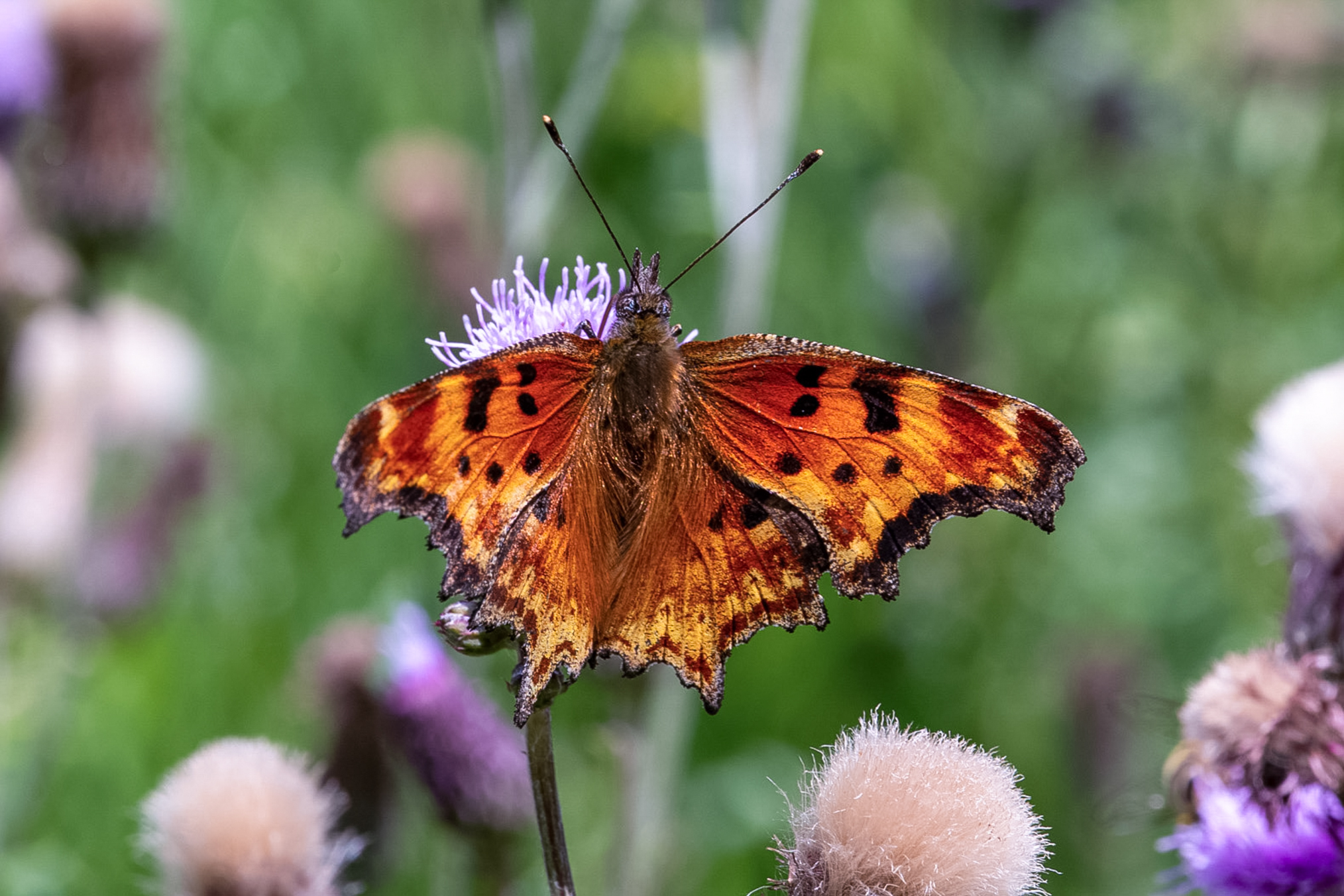
Maybe A. zerene.
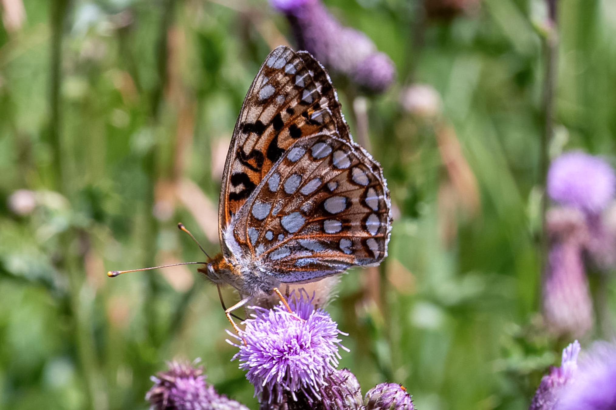
Another shot.
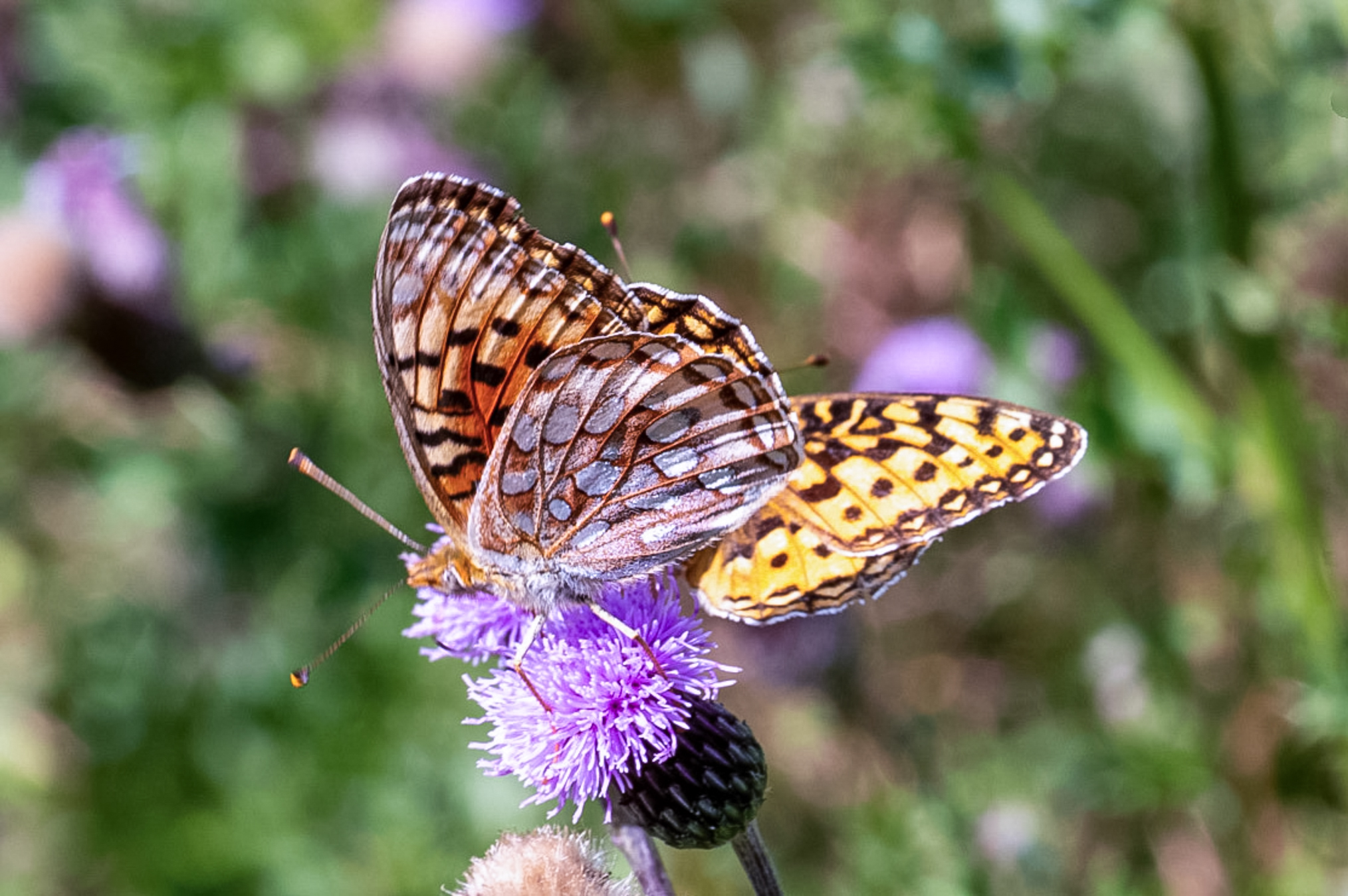
I like this photo because the butterfly has company.
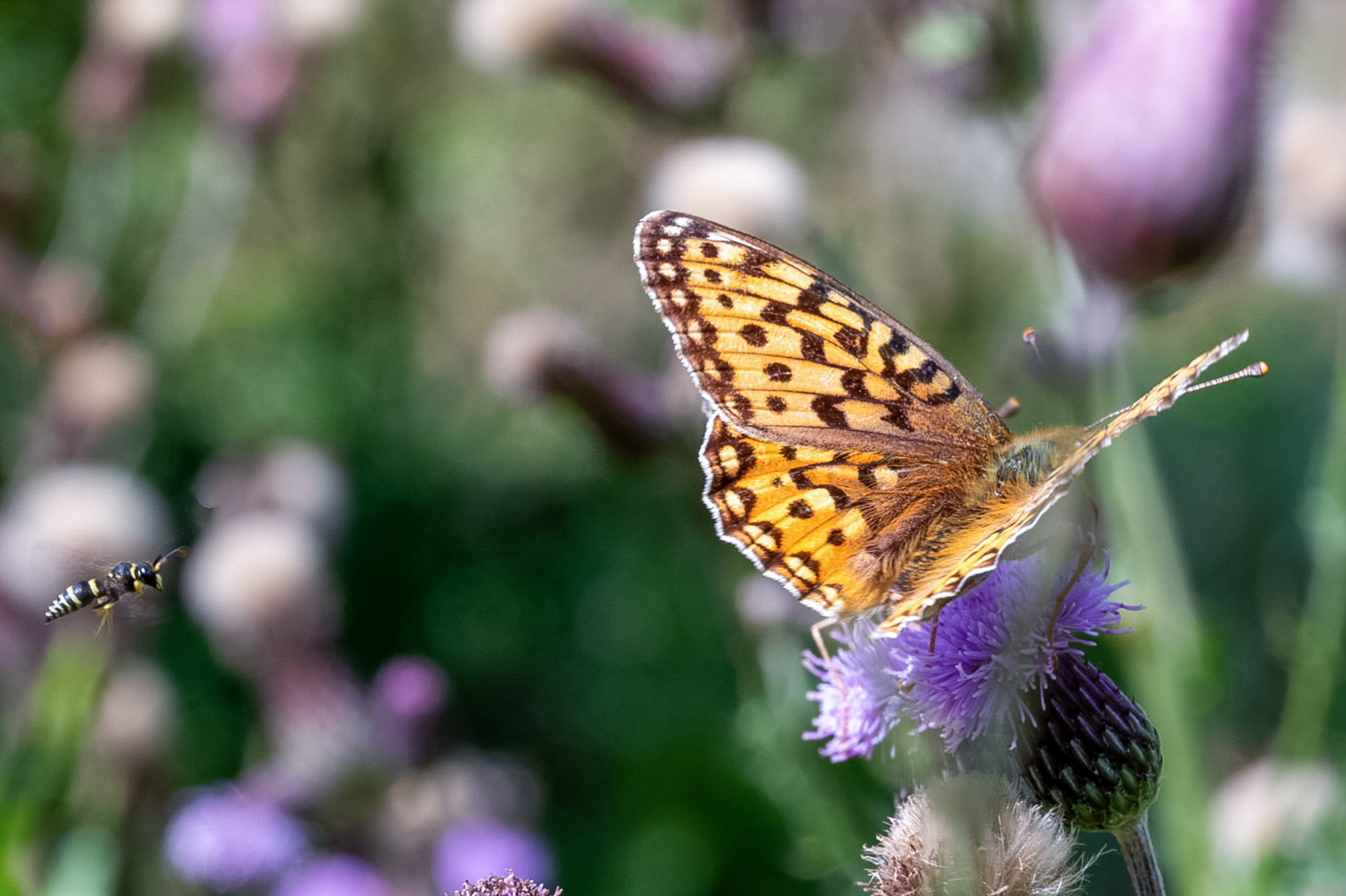
Here's a nice Polygonia faunus.
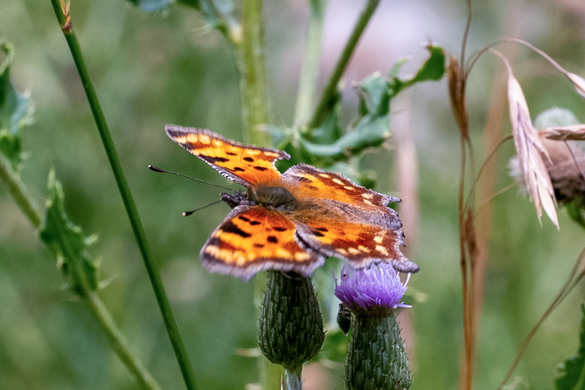
And another.
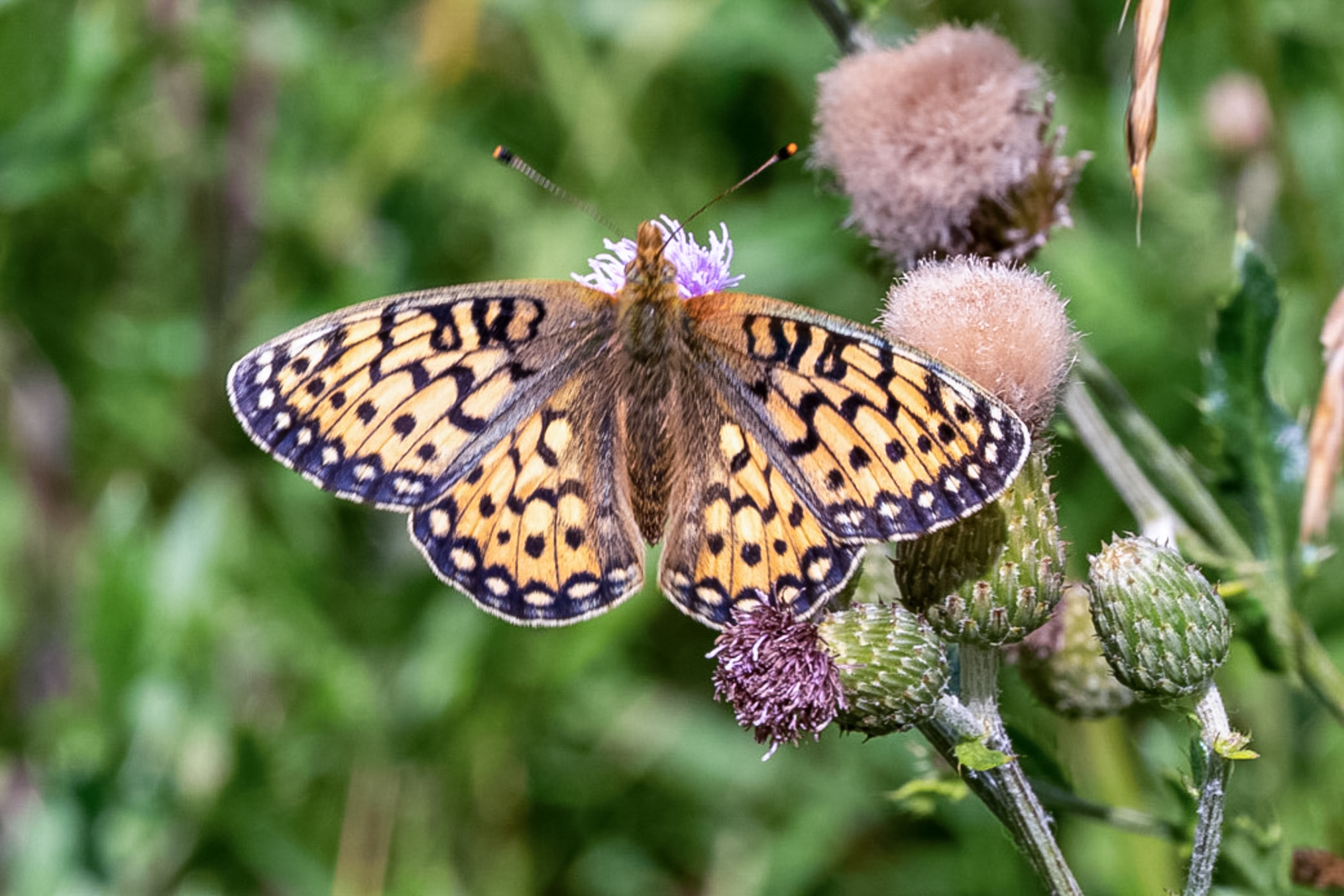
Here’s an A. mormonia.
End of Part E, click here for Part F.