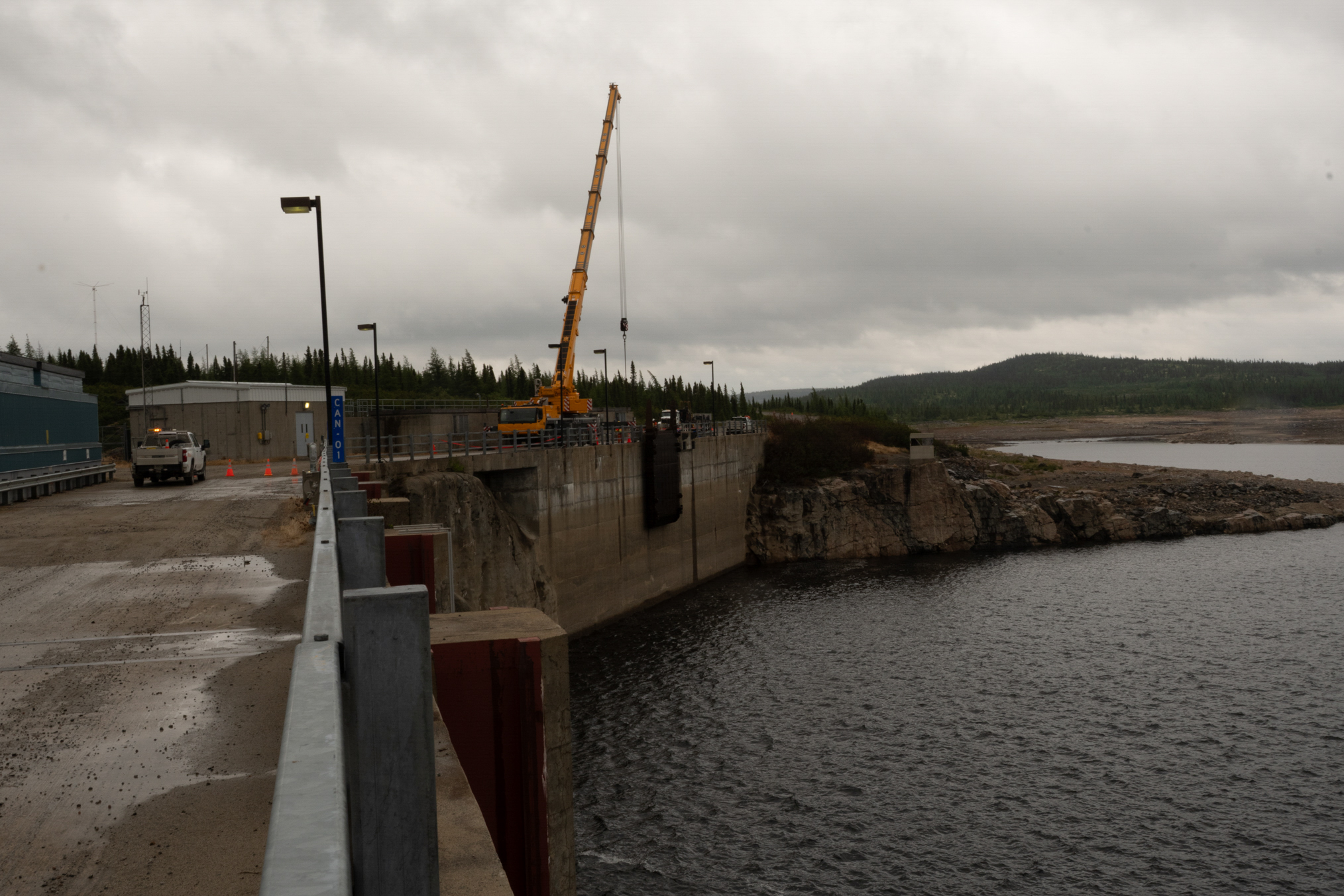
Another Lake Trout.
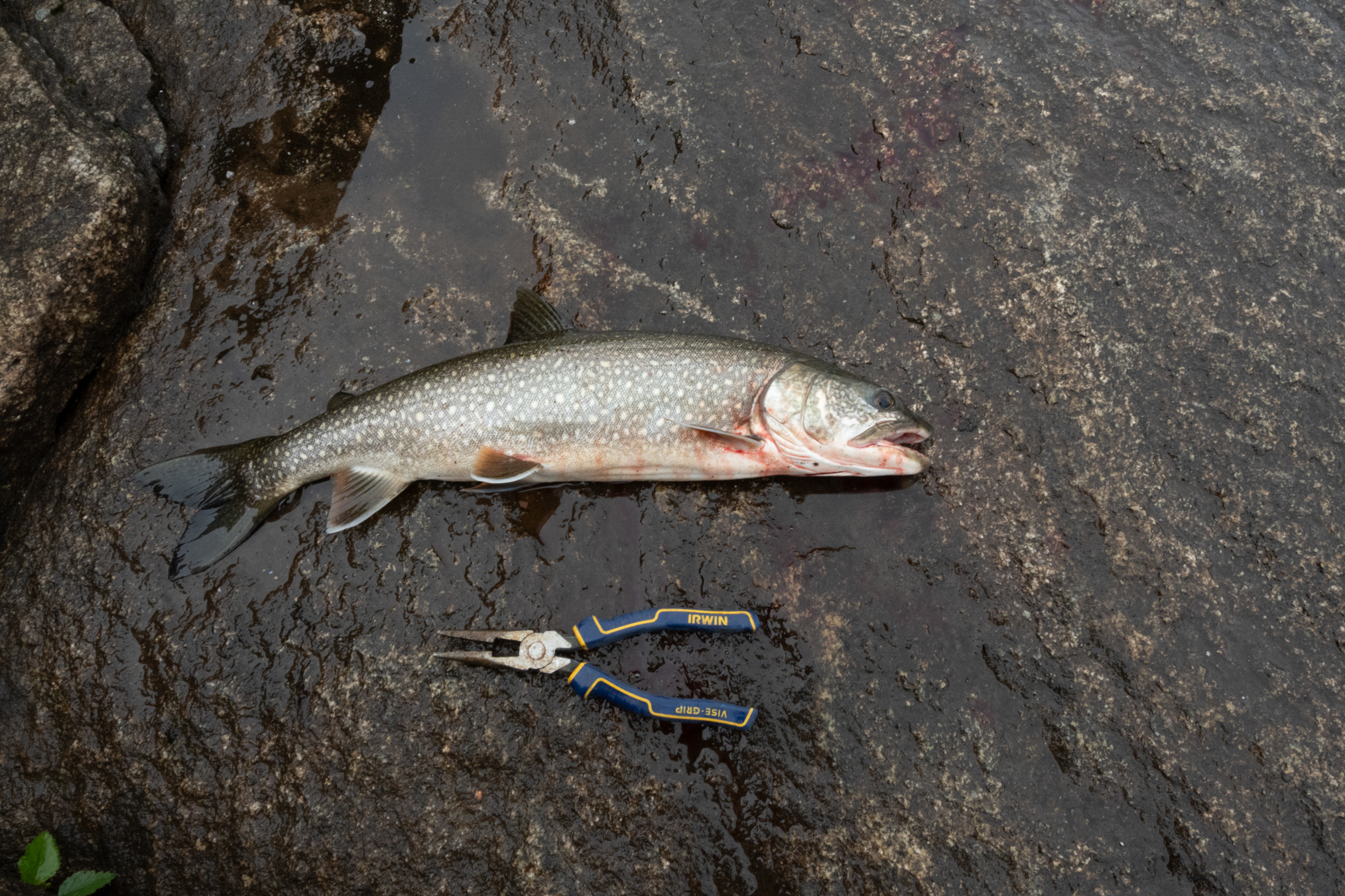
Another.
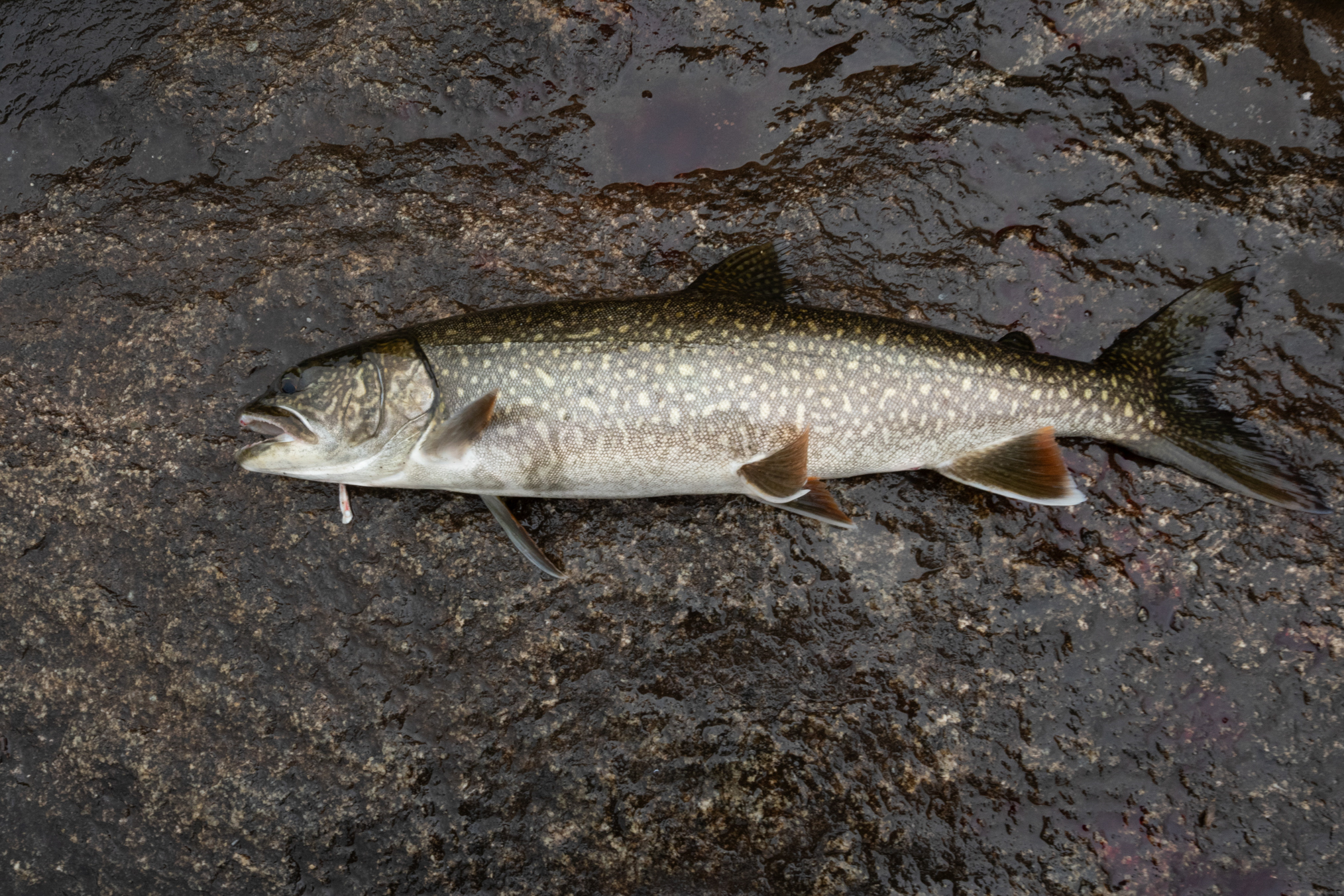
Yet another.
This shows the dam outlet to the right, and the overflow channel to the left. I caught most in the overflow channel. You can see the overhanging submerged rock in the bottom right.
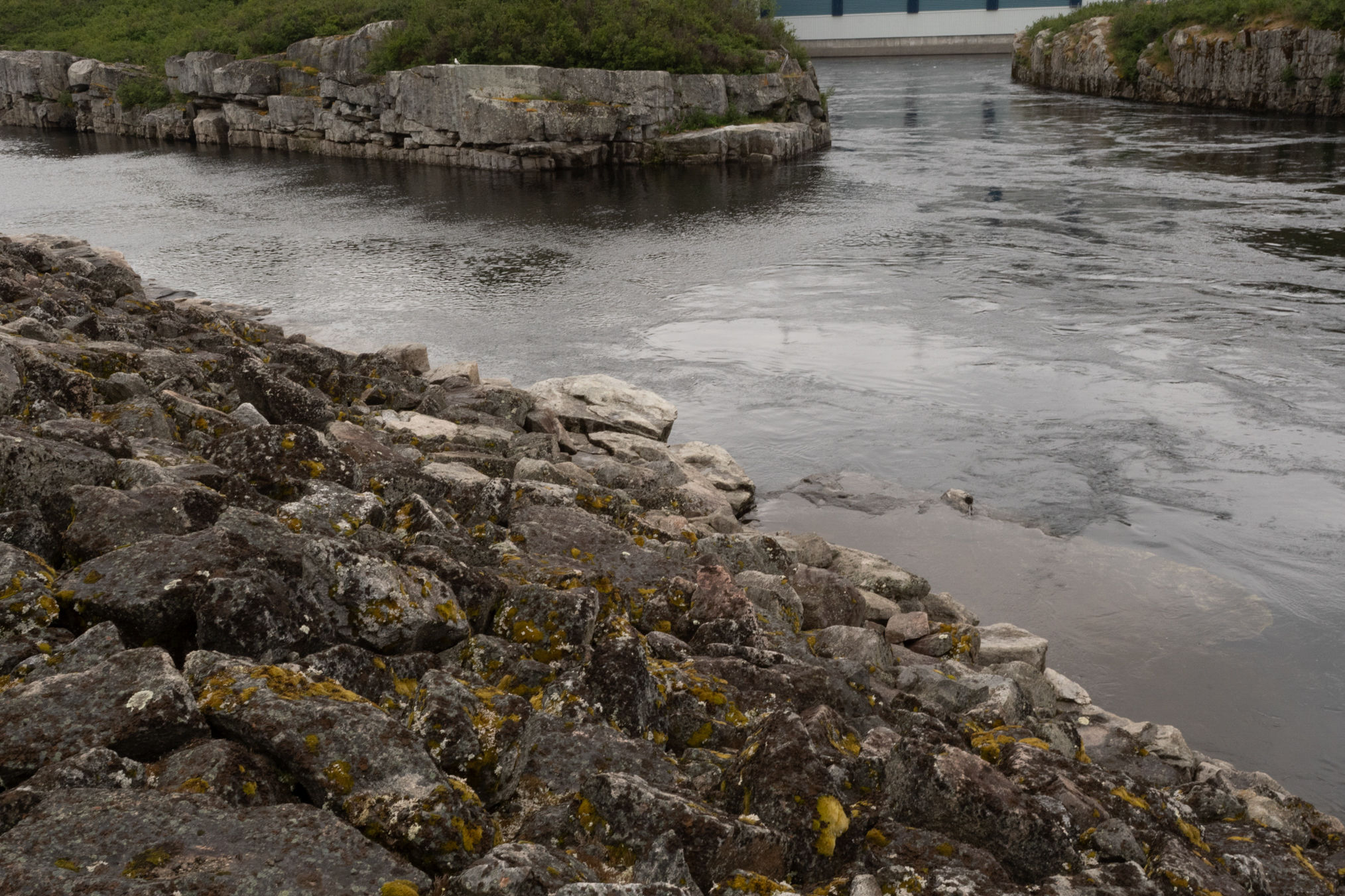
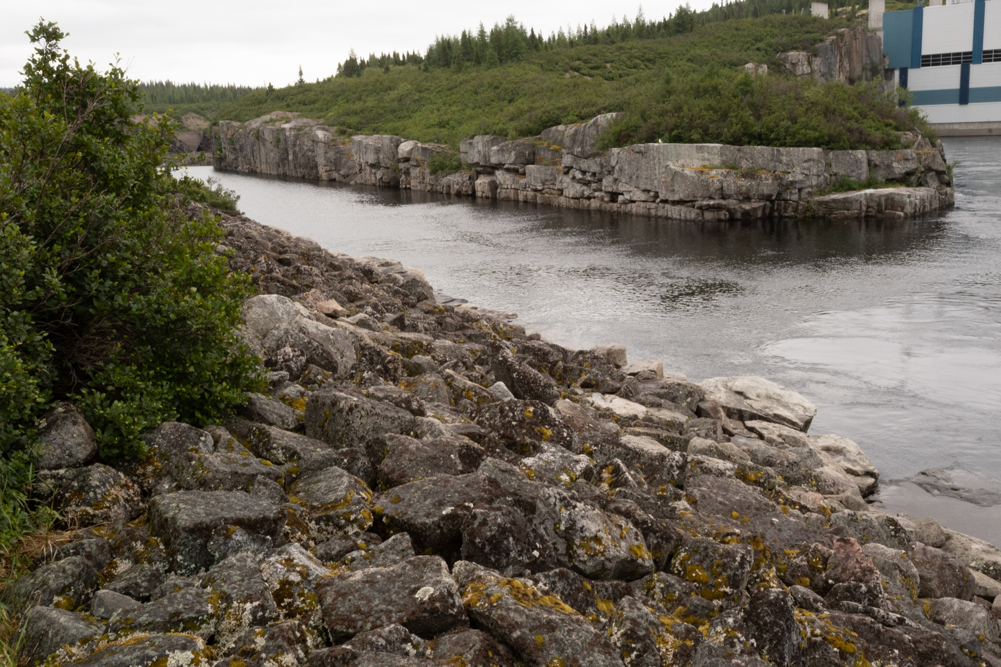
I would stand on the large white rock in the bottom right to fish. This photo nicely shows the overflow channel, which is quite deep, at least 30 feet.
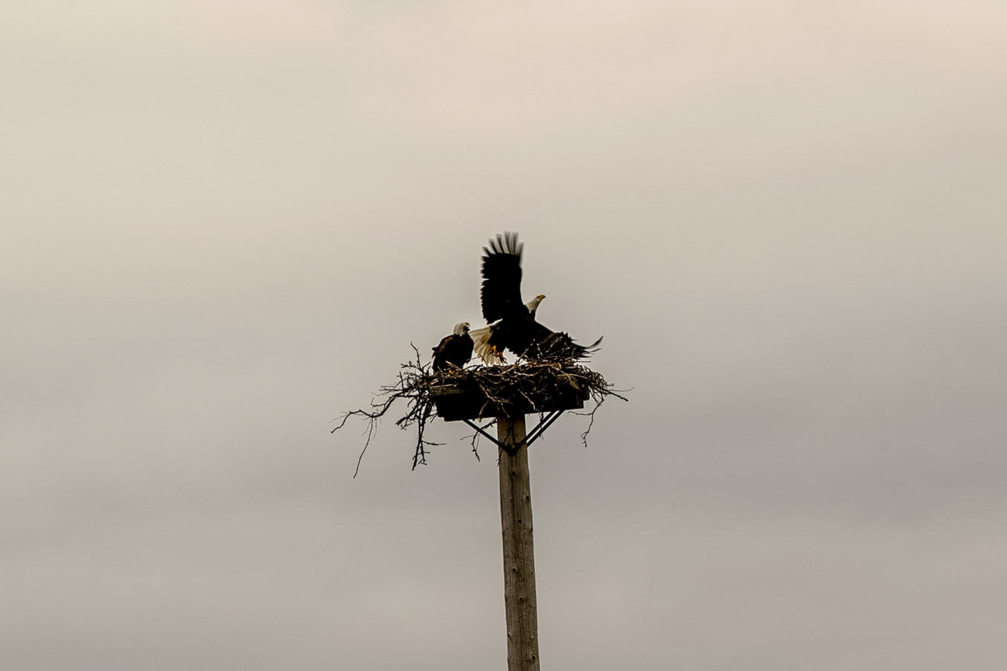
Further down the road, eagles regularly nest. I learned that as the chicks mature, the parents slowly destroy the nest to make it less comfy, so the kids leave.
Next day, July 22nd, still lousy weather, but I caught more fish.
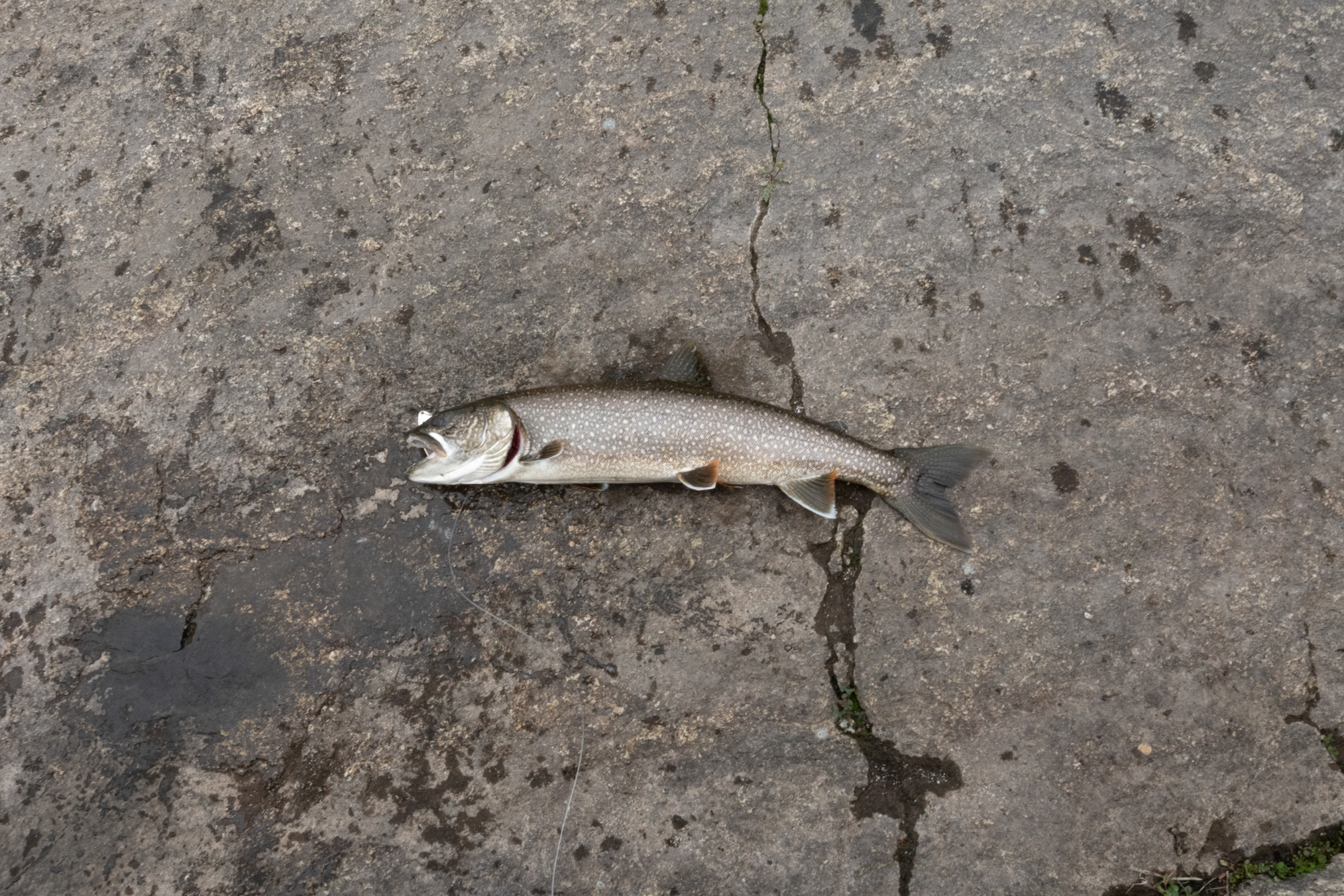
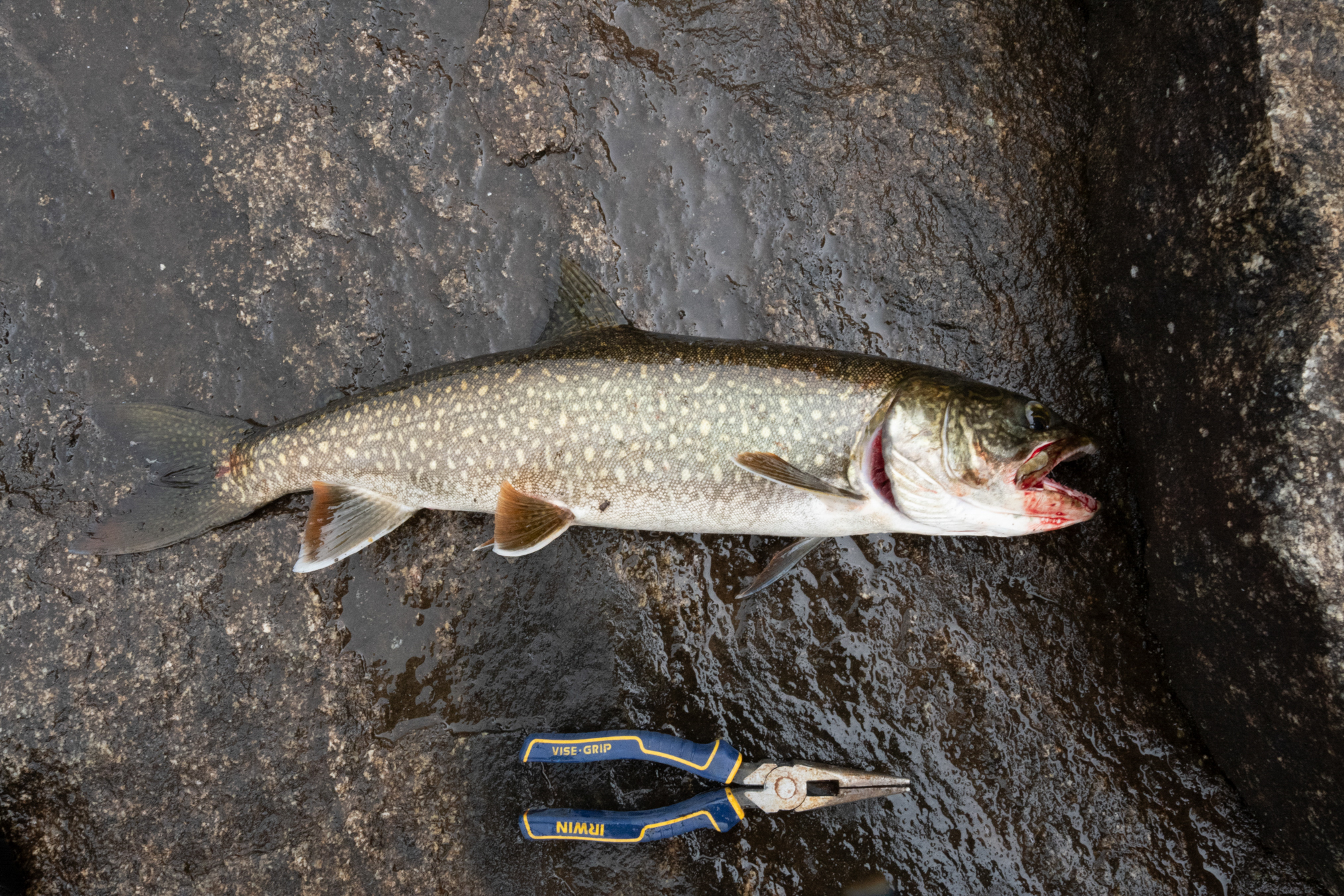
Another.
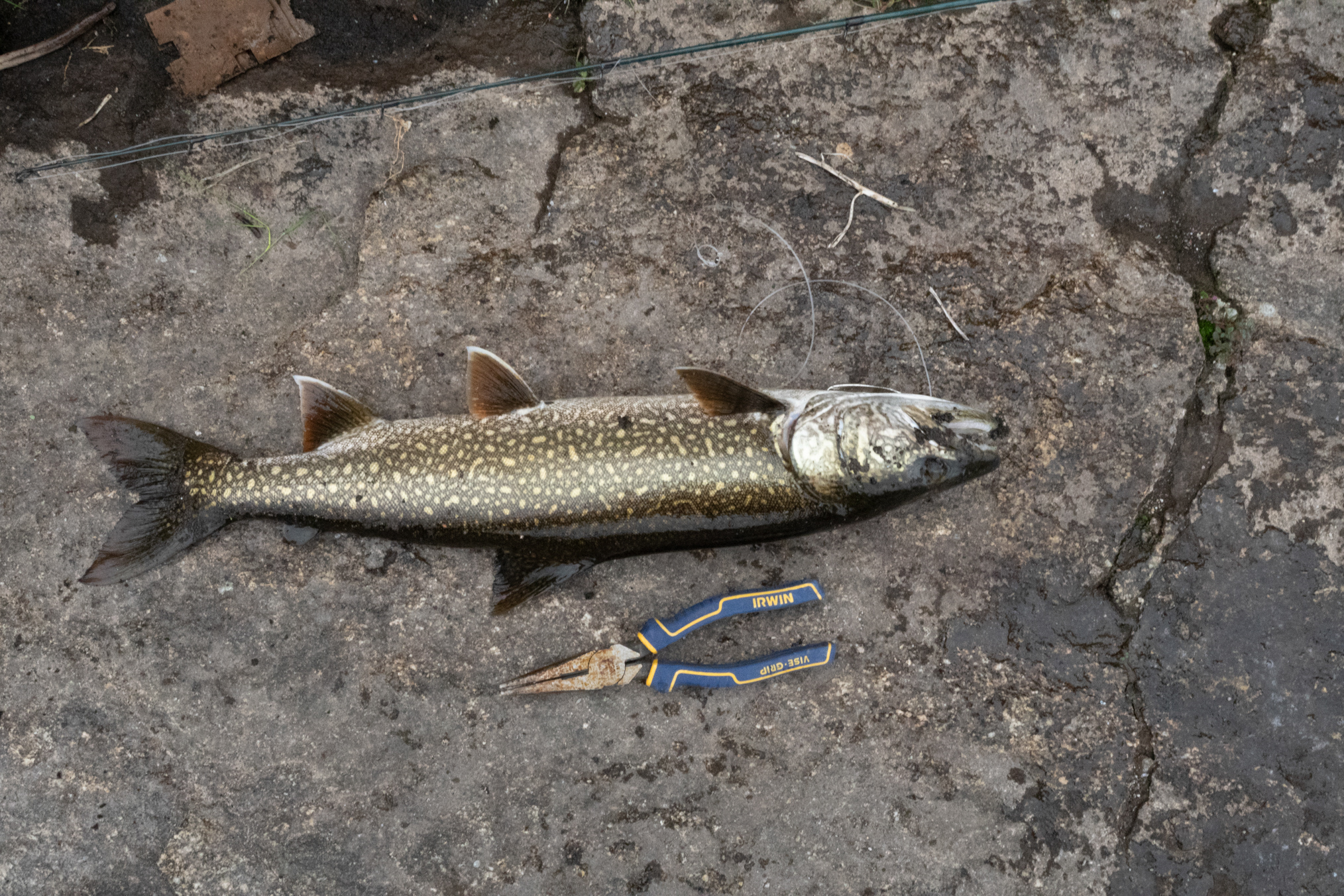
Now using a little cleo lure.
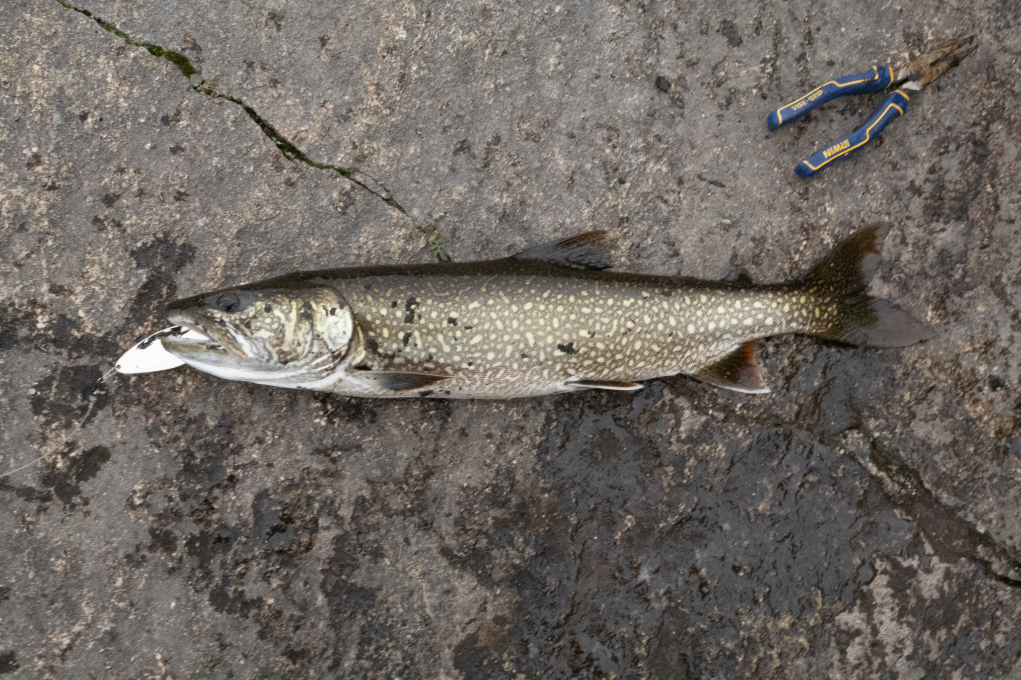
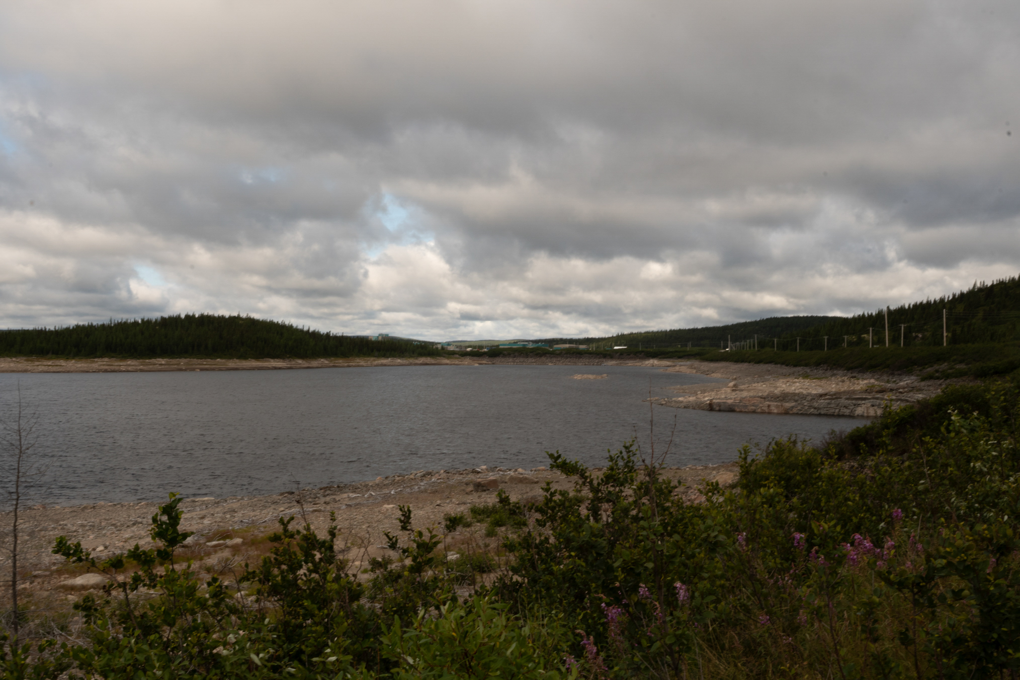
Looking over the reservoir that evening.
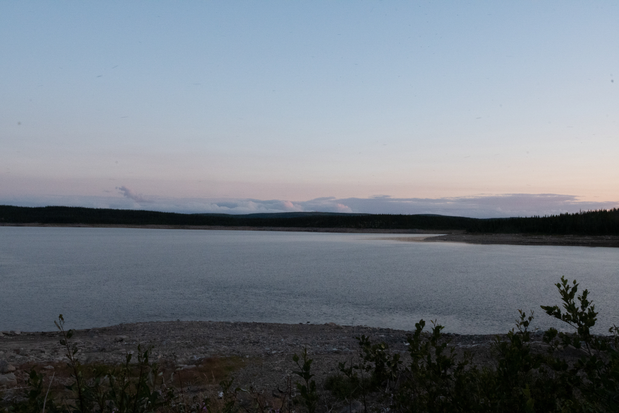
Looking toward Brisay, the workers housing.
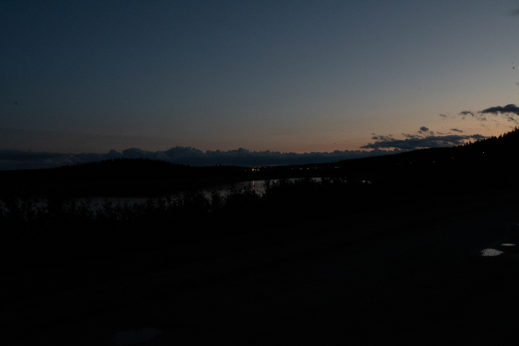
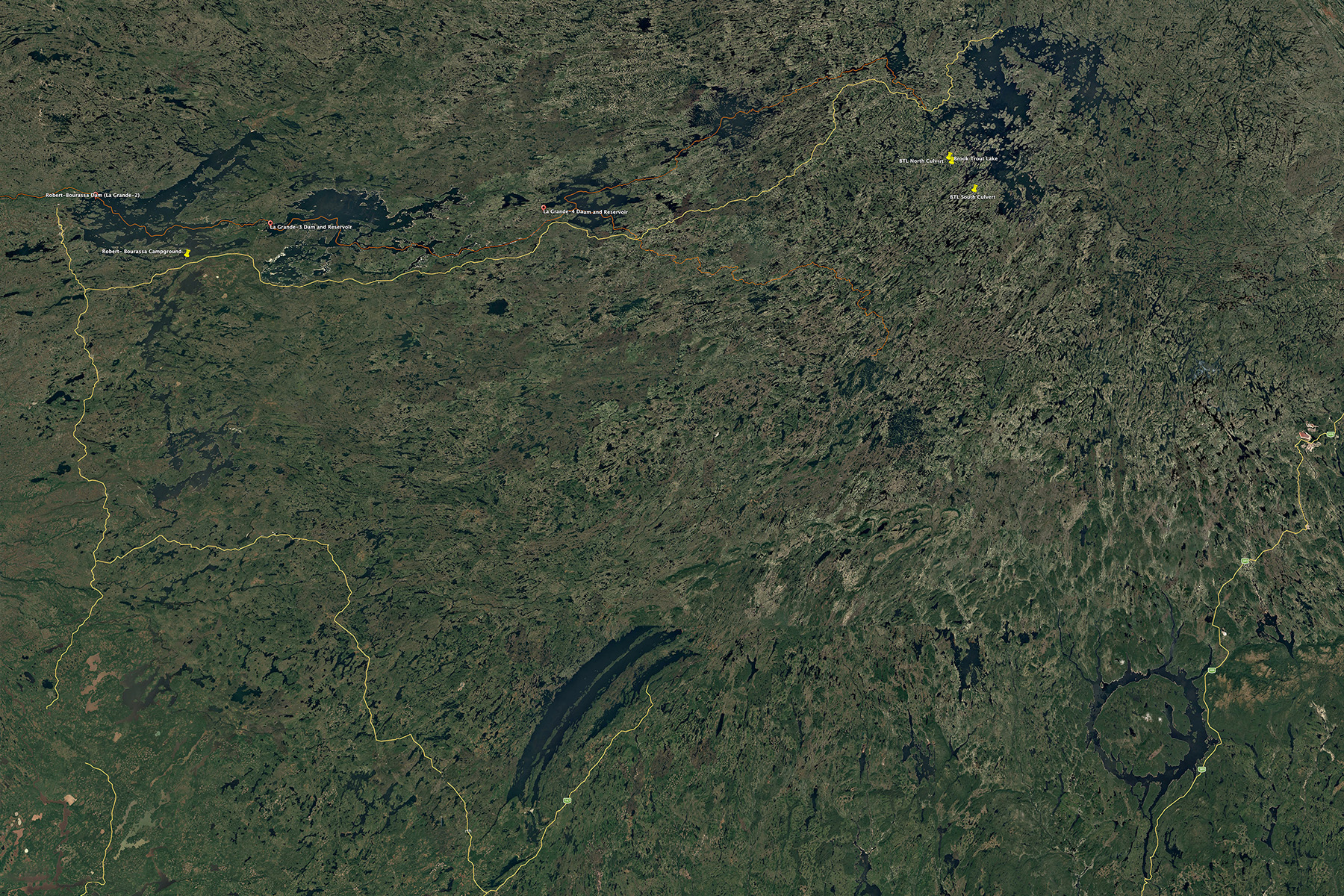
The James Bay Highway (JBH) is the vertical yellow line on the left of the image. The Trans Taiga Highway (TTH) is the horizontal yellow line that the branches from the JBH near the top. The Route du Norde branches from the JBH near the middle left, and extends to the branch point with QC 167 near the bottom of Lac Mistassini, the long elliptical lakes. The three fishing points, BTL, and BTL culverts north and south, are highlighted by drop pins in the upper right. Faint red lines indicate the paths of the Laforge River, which runs along the upper right and joins the La Grande River near the upper center. Originally a minor drainage basin, this channel now redirects flow from the Caniapiscau River, which formerly flowed north into the Koksoak River and out to Ungava Bay. Where the La Grande River crosses the TTH is the Mirage Outfitter (358 km). The 62 km campground is indicated by the drop pin near the upper left.
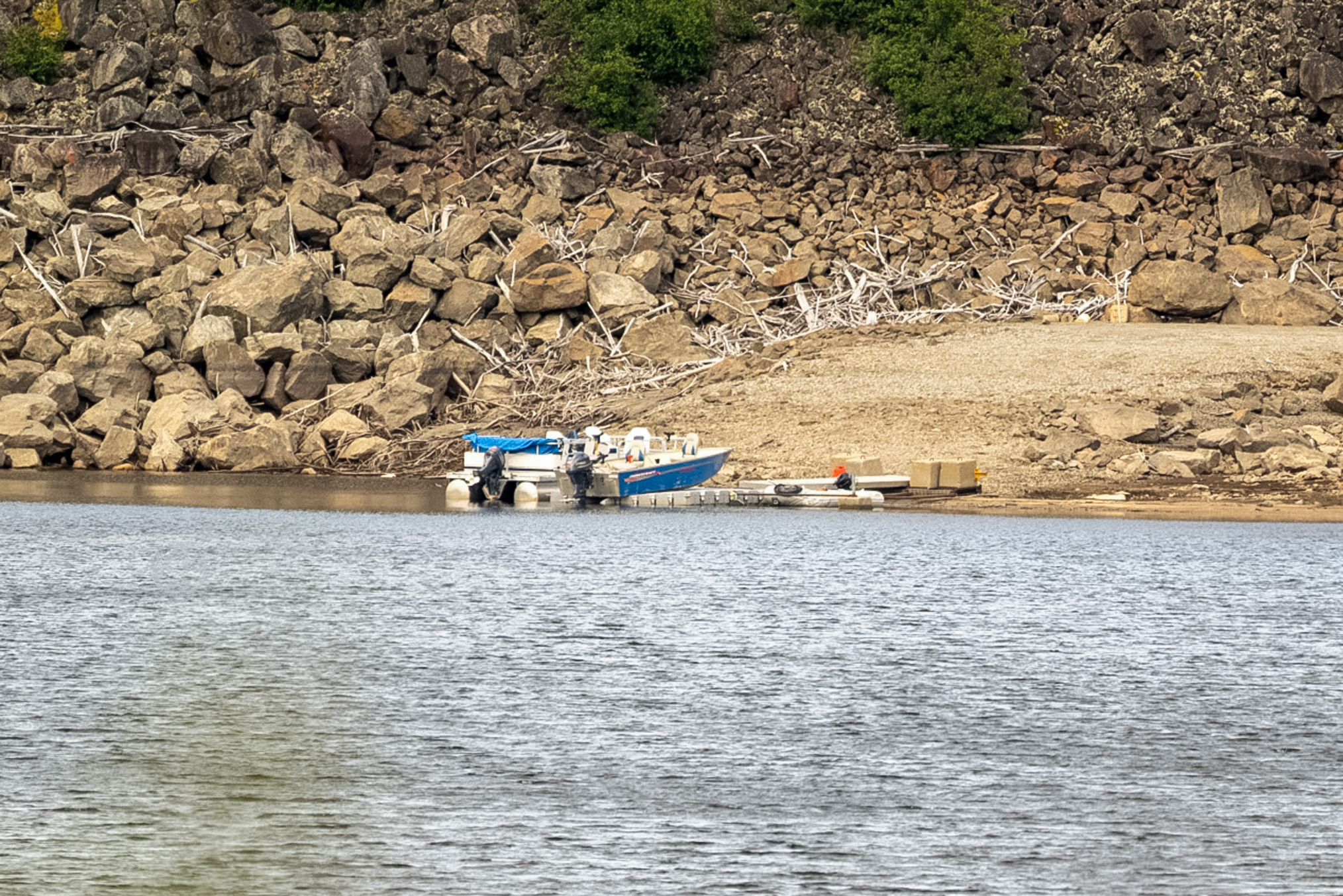
July 23rd, I put my boat in the water.
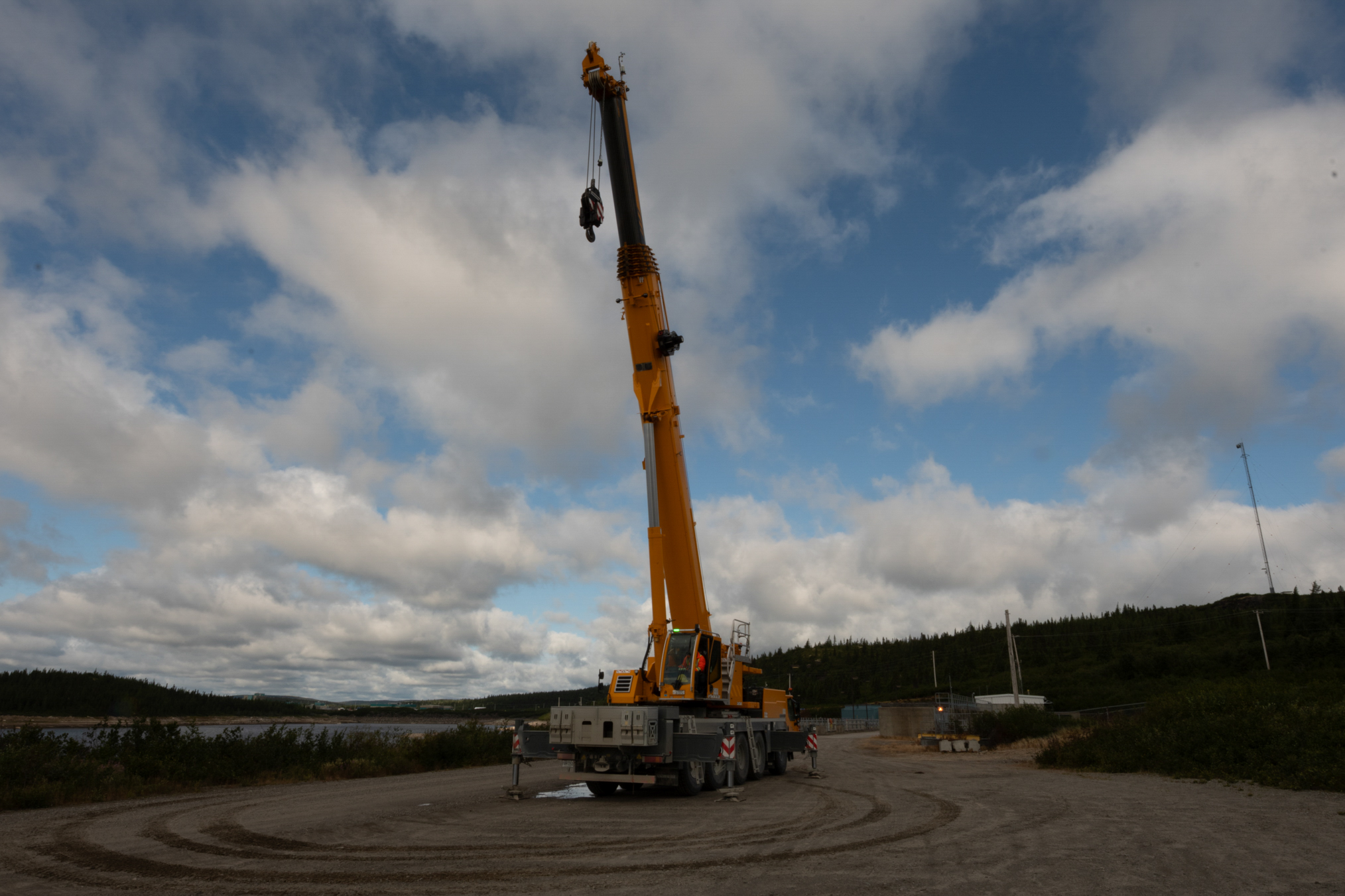
July 24th, a large crane appeared. This was to replace a gate on the overflow channel.
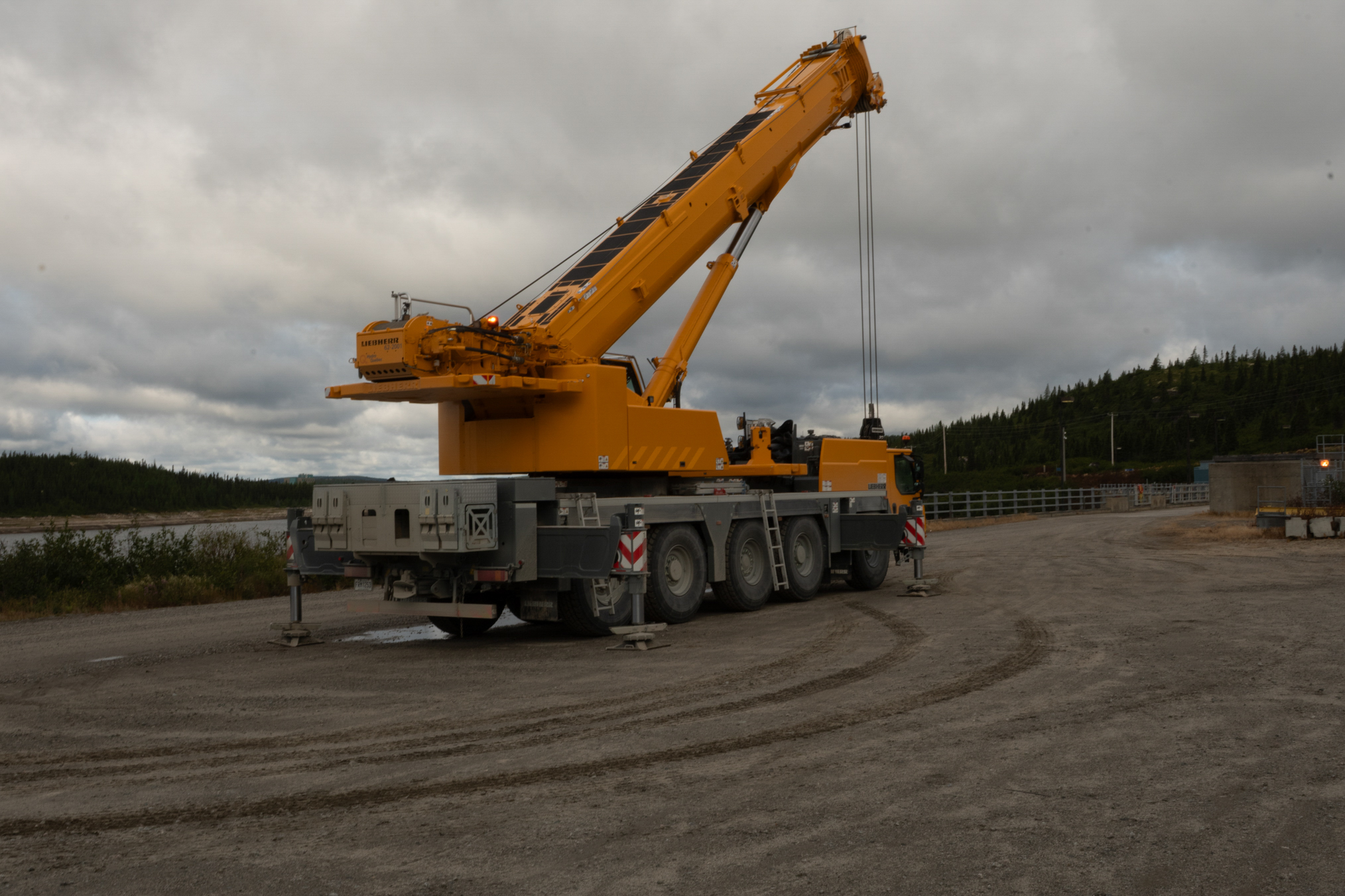
Another view.
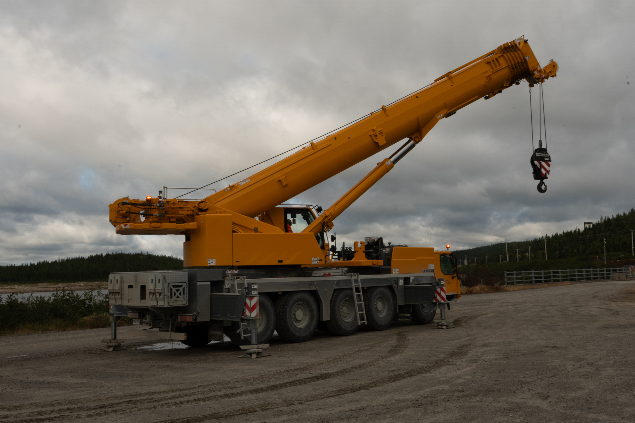
The worker was just setting this up for the weekend.
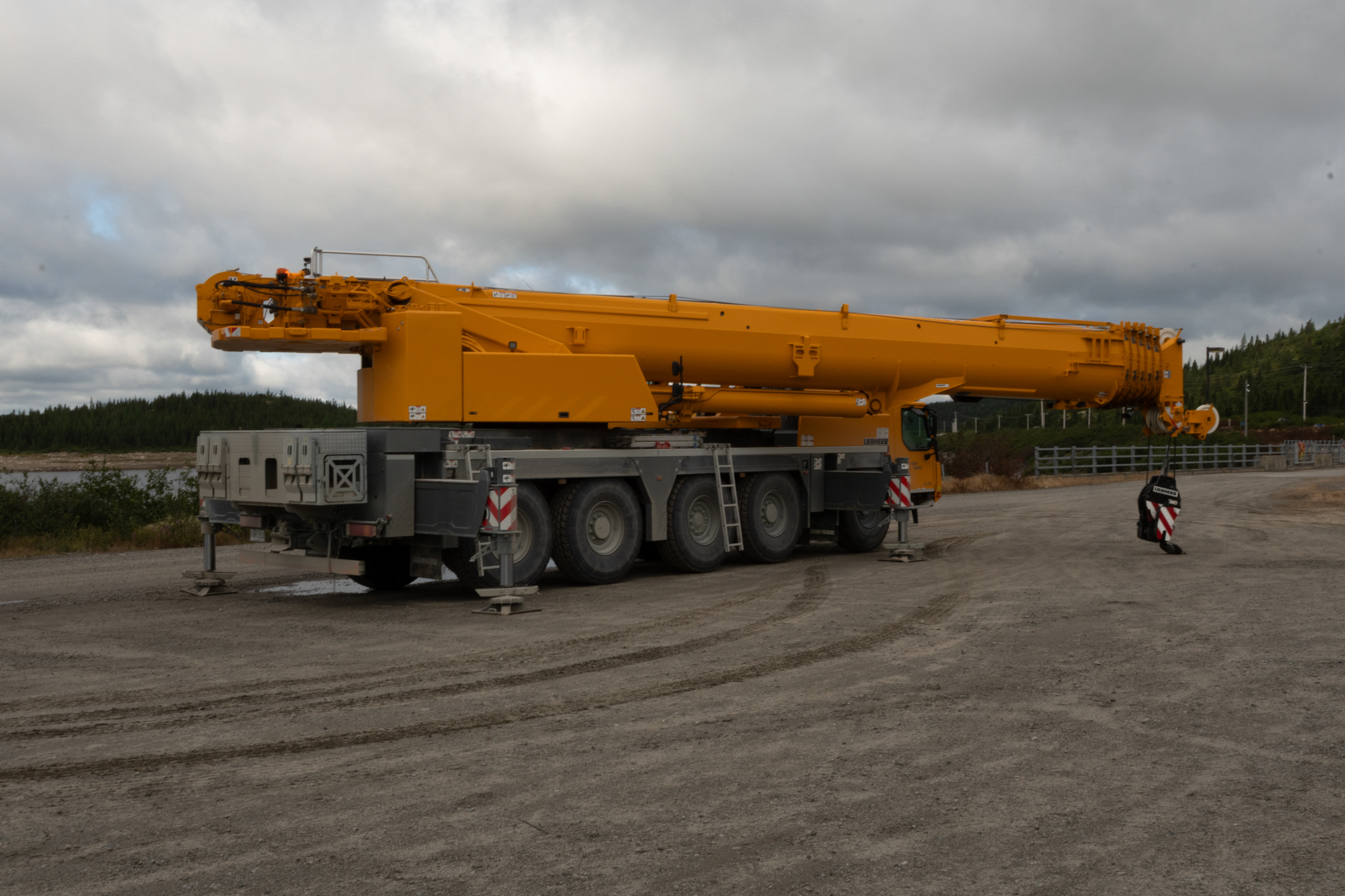
Looking toward Brisay.
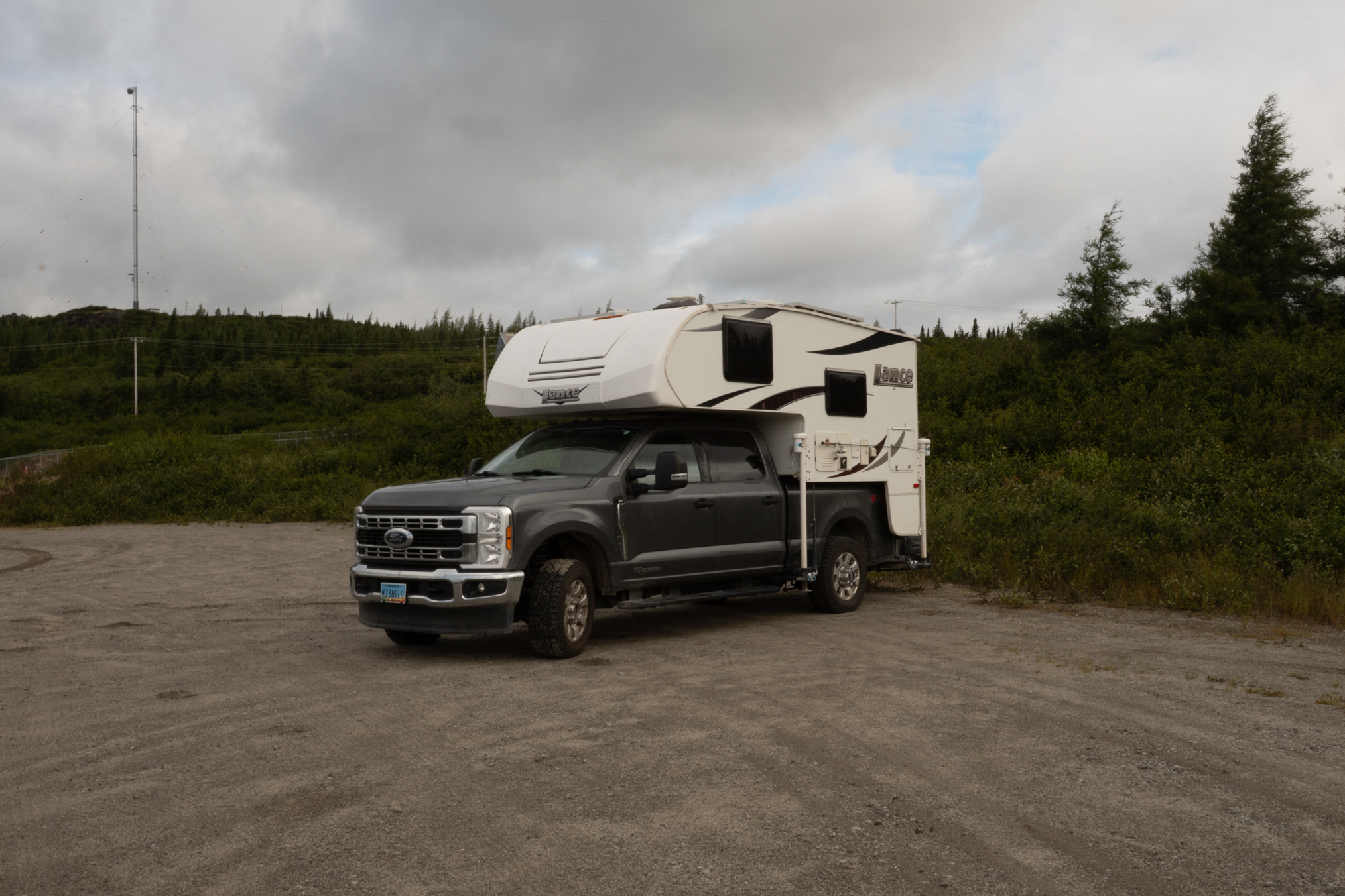
My parking spot for the evenings.
Another crane view.
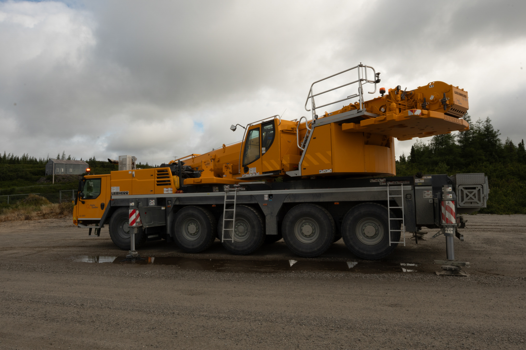
Testing the lift.
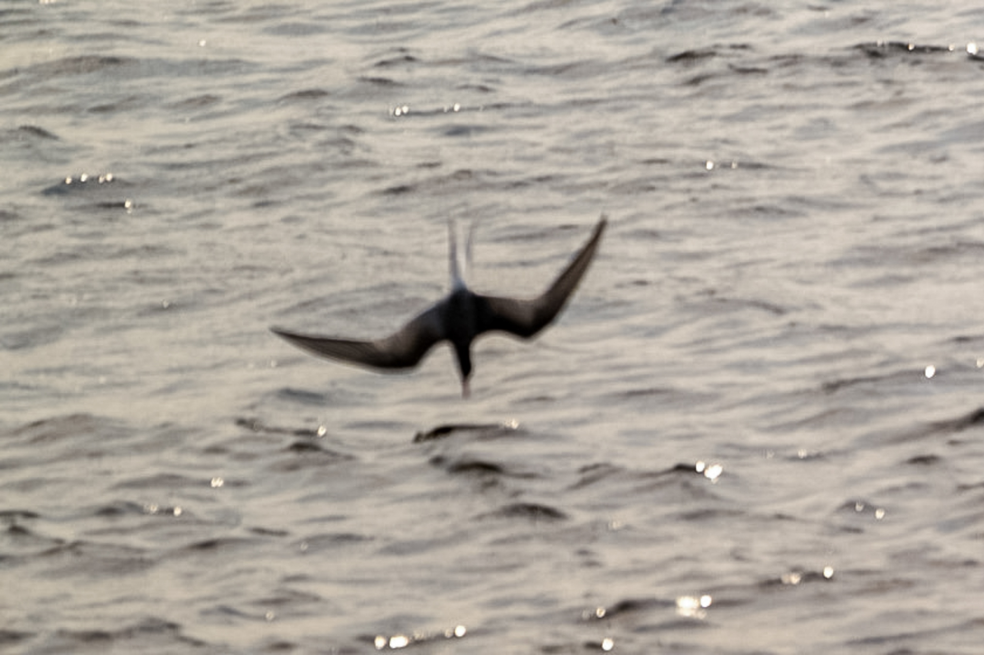
July 25th, I photographed a diving Tern, one of my goals for the trip. Not a great photo, but oh so close!
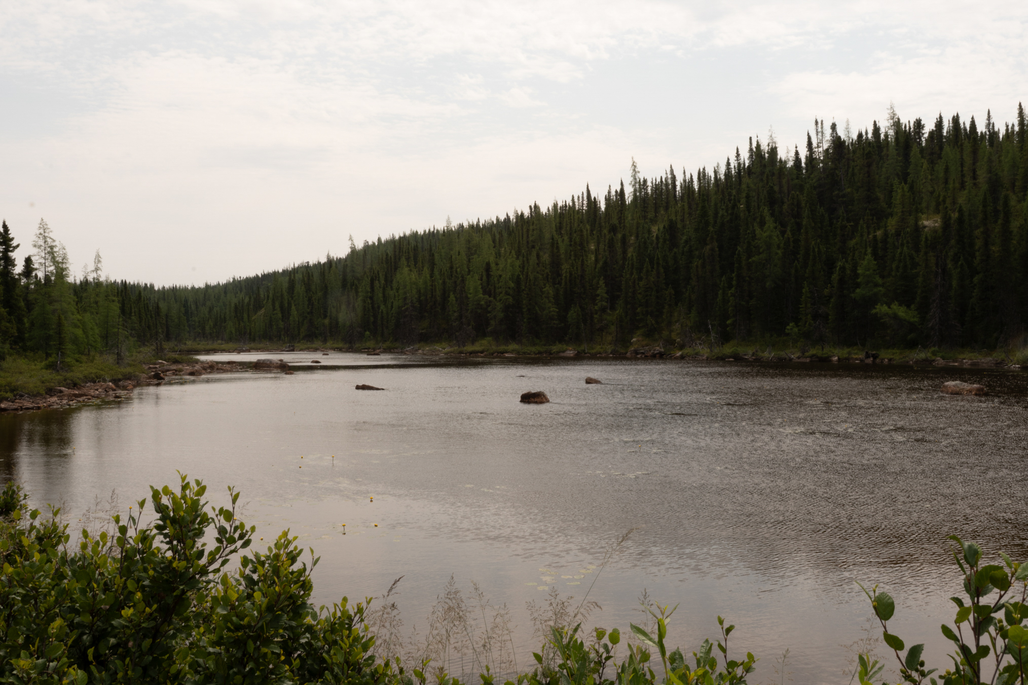
More scenery.
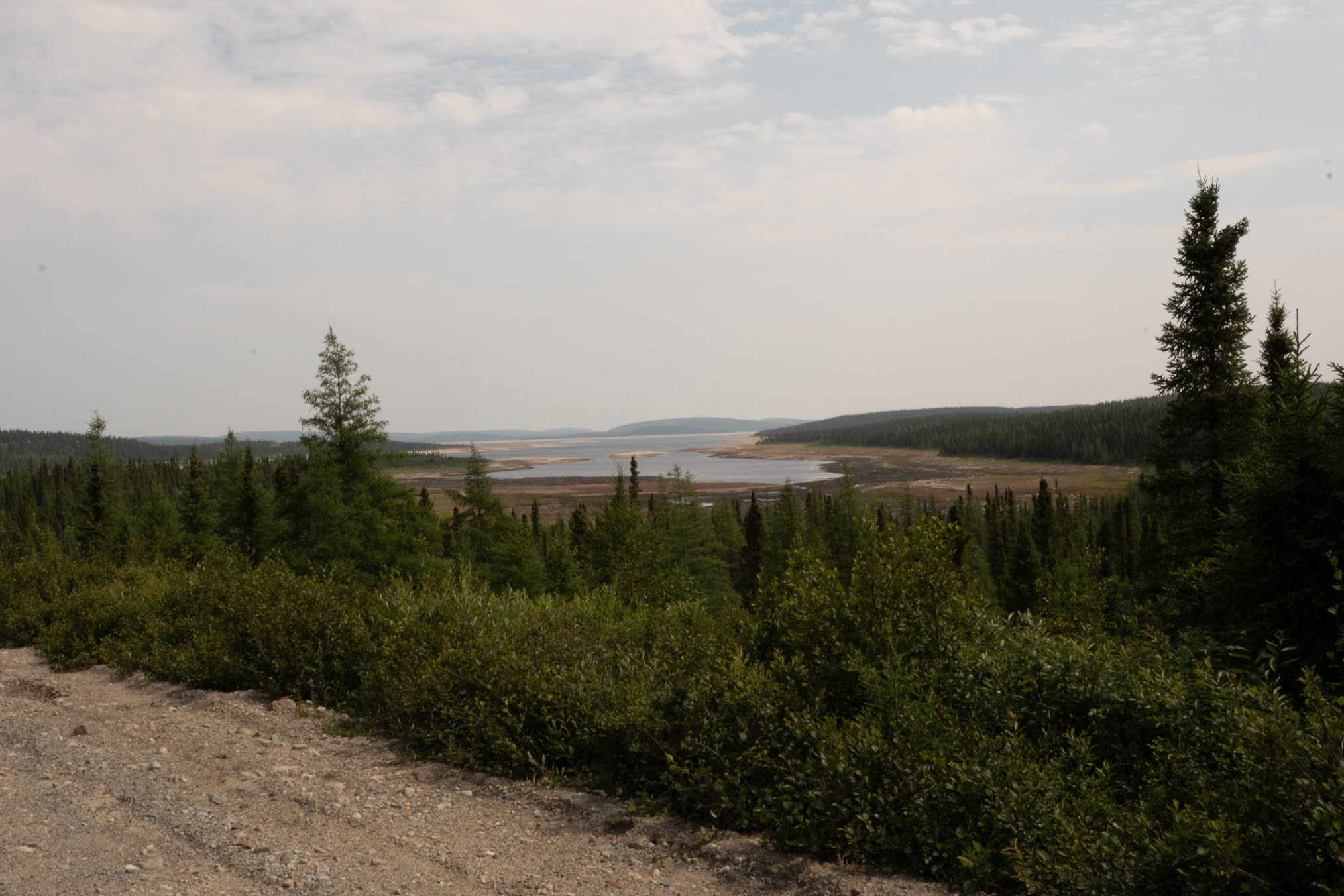
The reservoir is down about 30%. A worker told me they expect it to fill in the next year or so. The reason it is low is that a few years back they overestimated the winters snowpack and rain, and let too much water pass in anticipation.
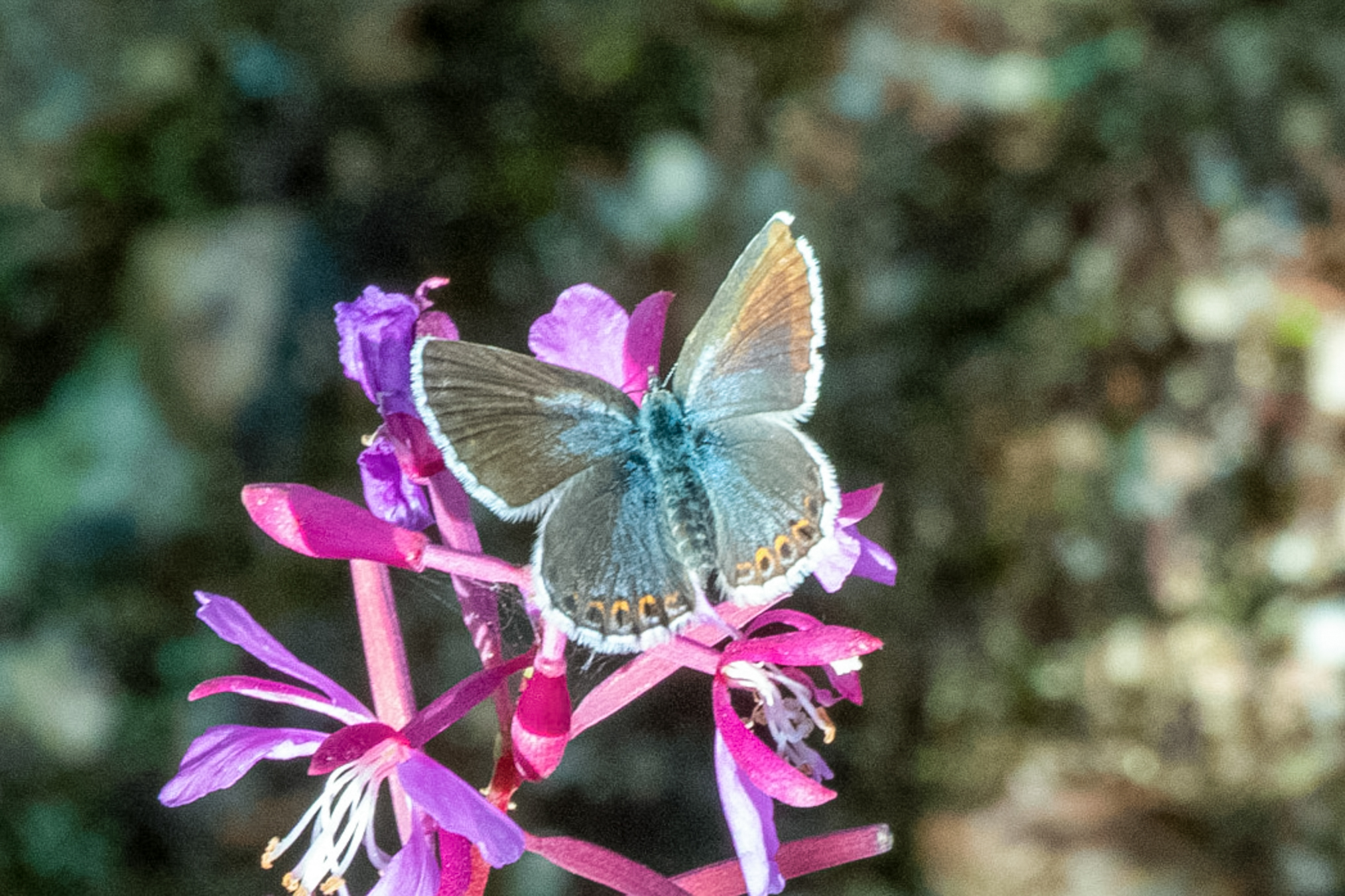
Skies brightened, and I found a few P. idas.
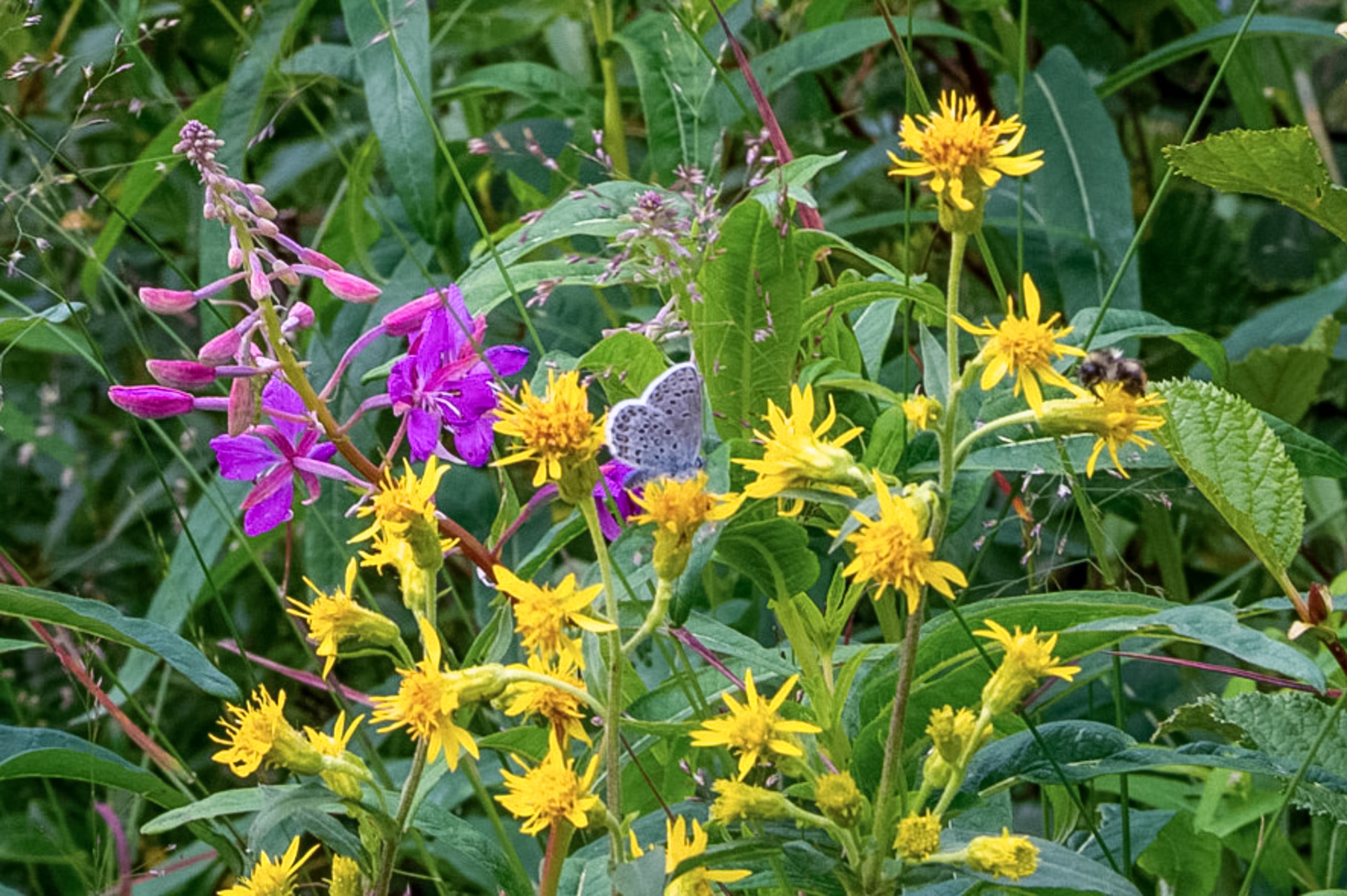
Another shot.
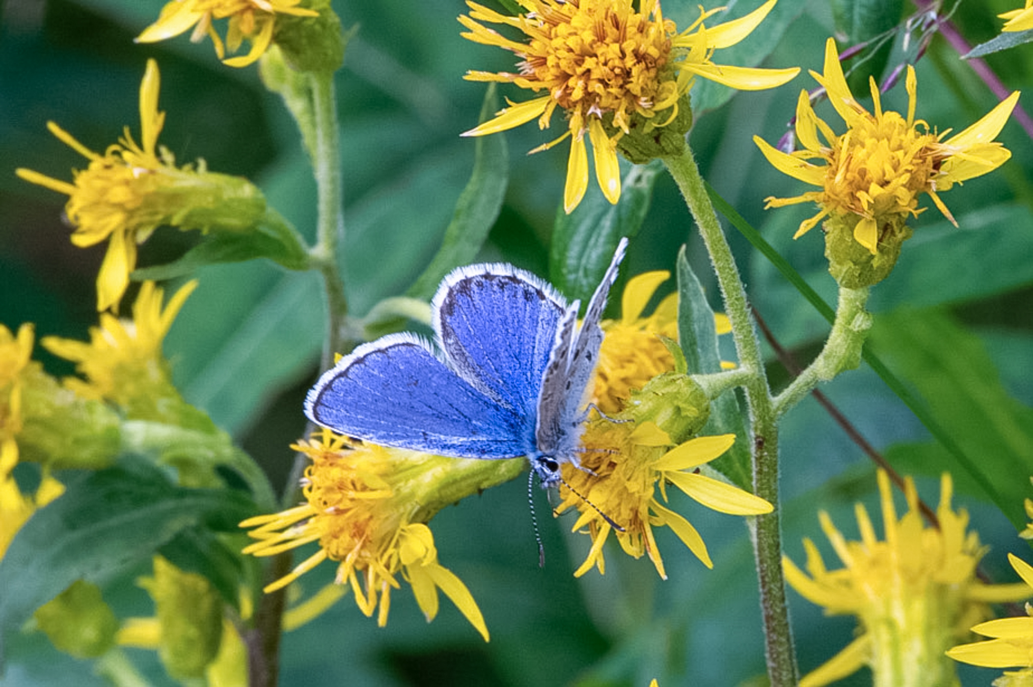
And another.
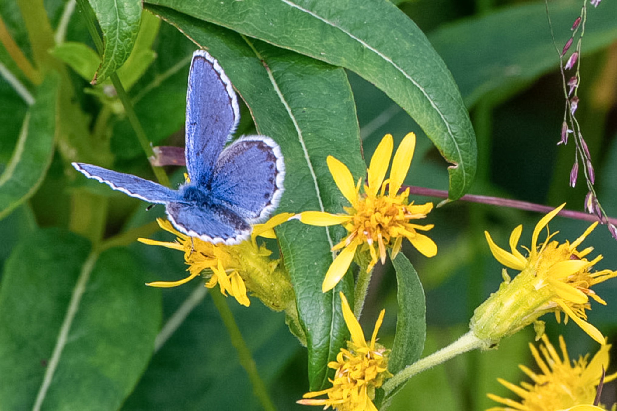
I took a few of these. They were omnipresent. I could exit the truck at anytime or place and find 2-3.
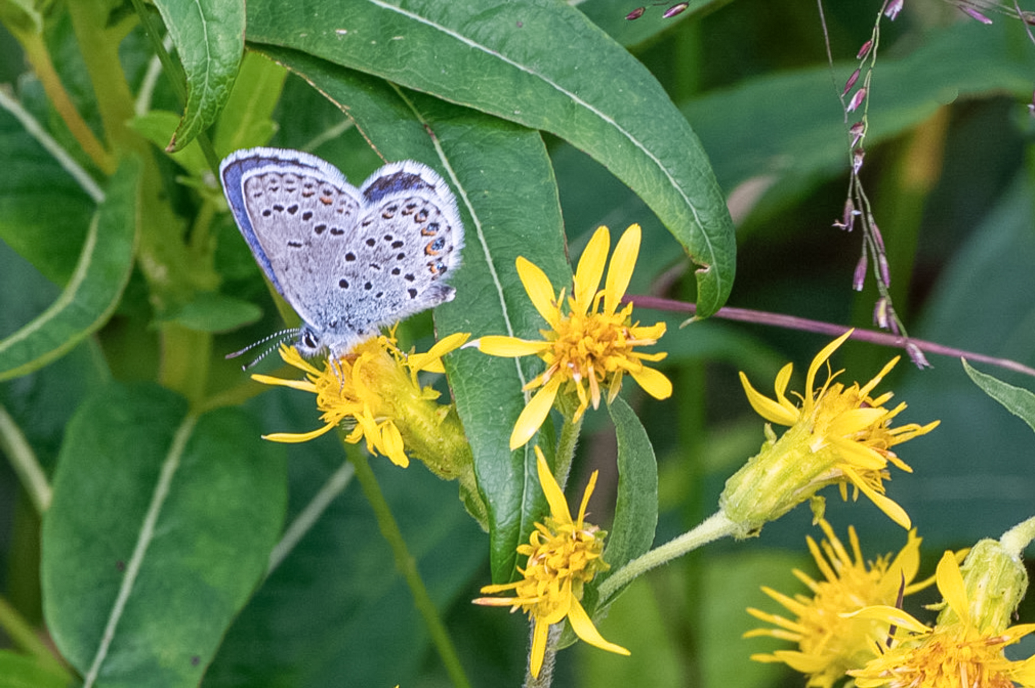
Setting up for the big lift.
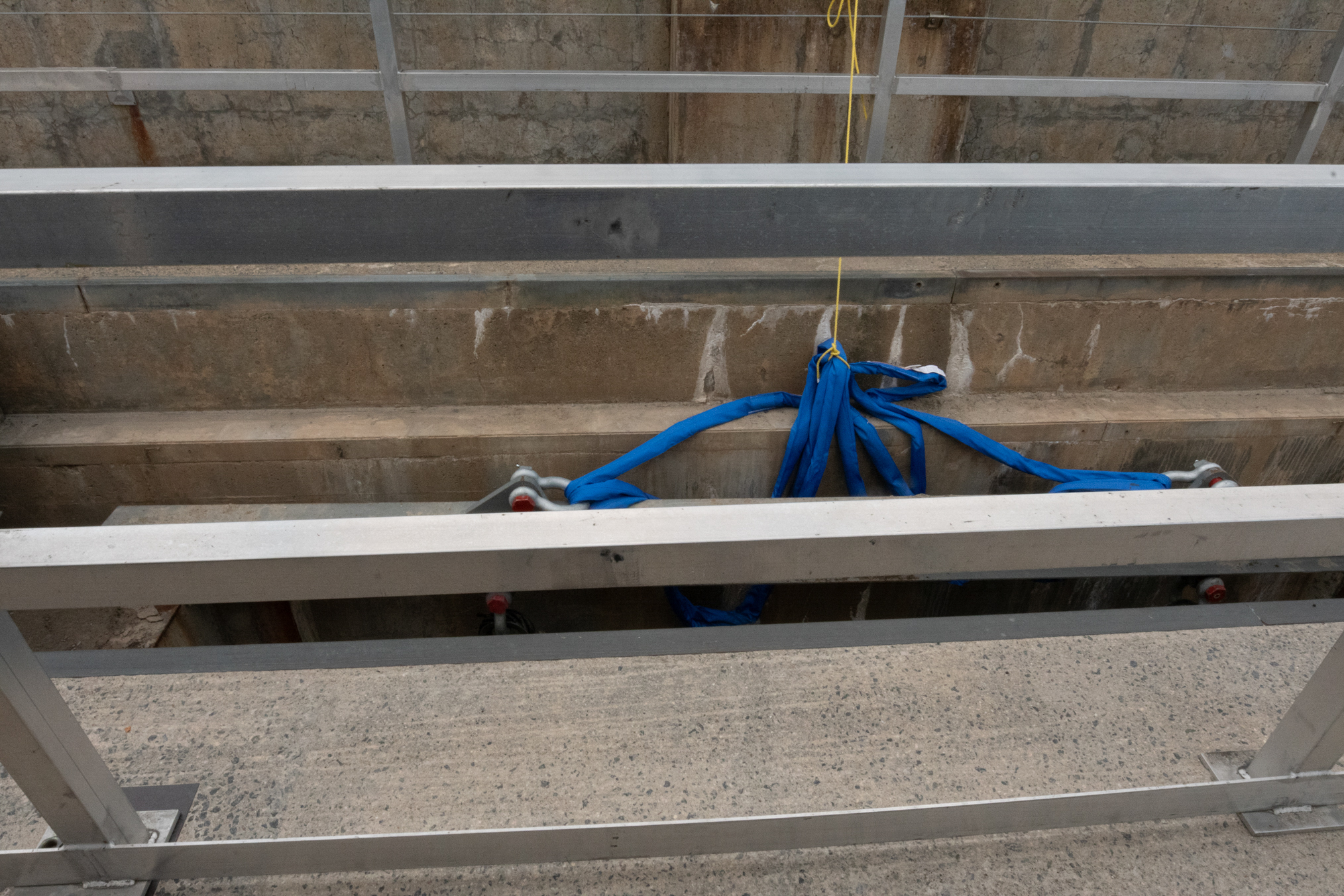
Looking down the overflow channel from the road.
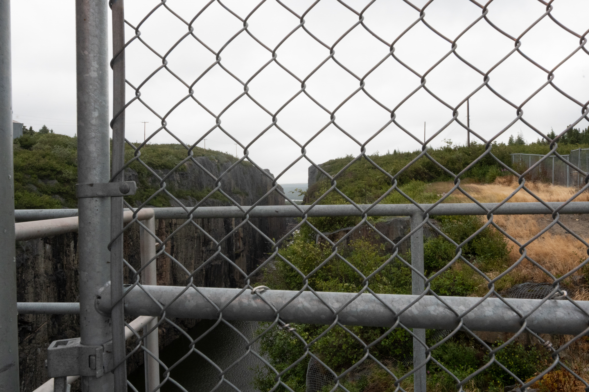
Another shot.
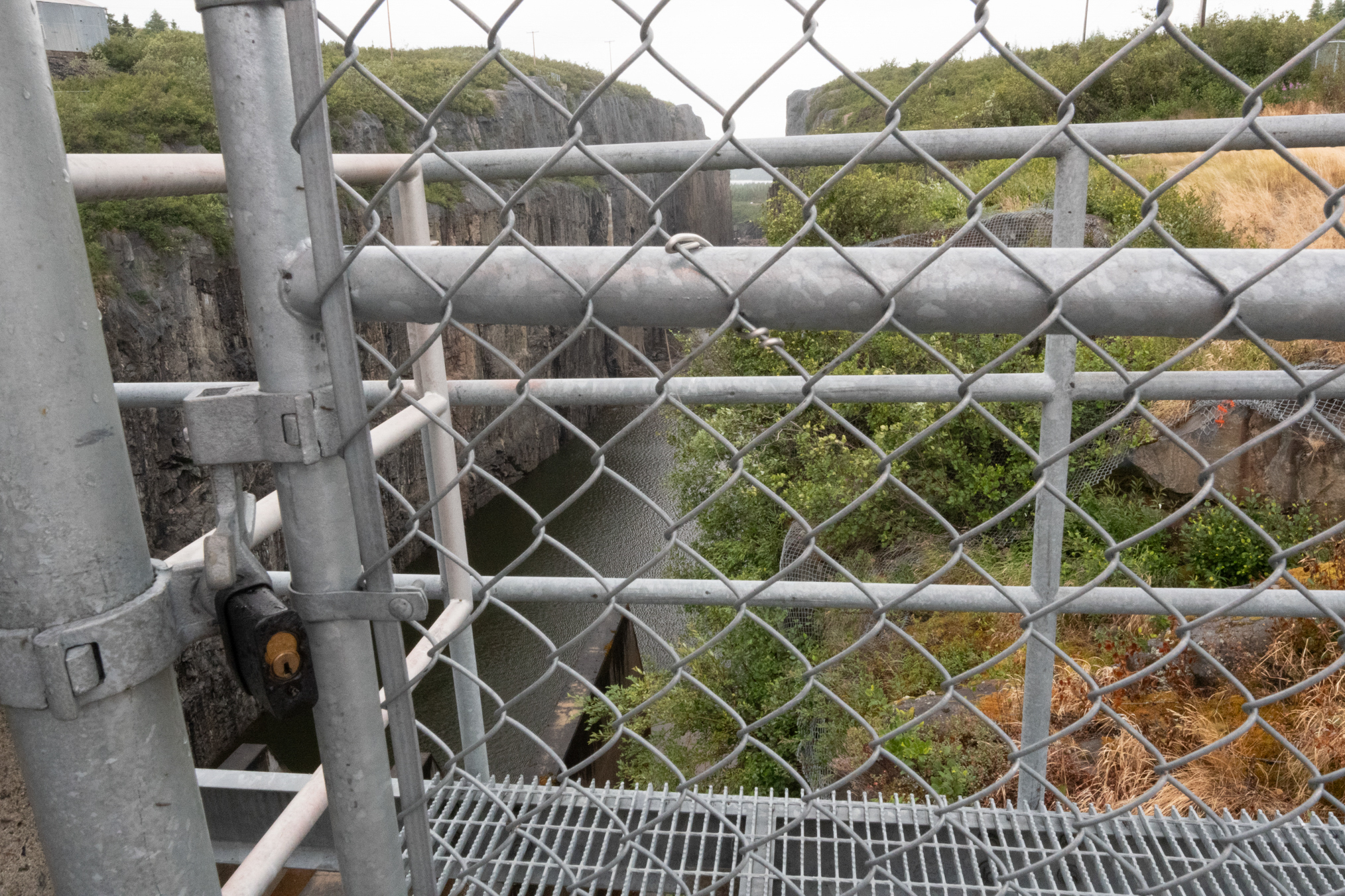
July 26th, the show started. They closed the road for a few hours.
They positioned the replacement gate rather quickly. I could not get too close, so only a few photos.
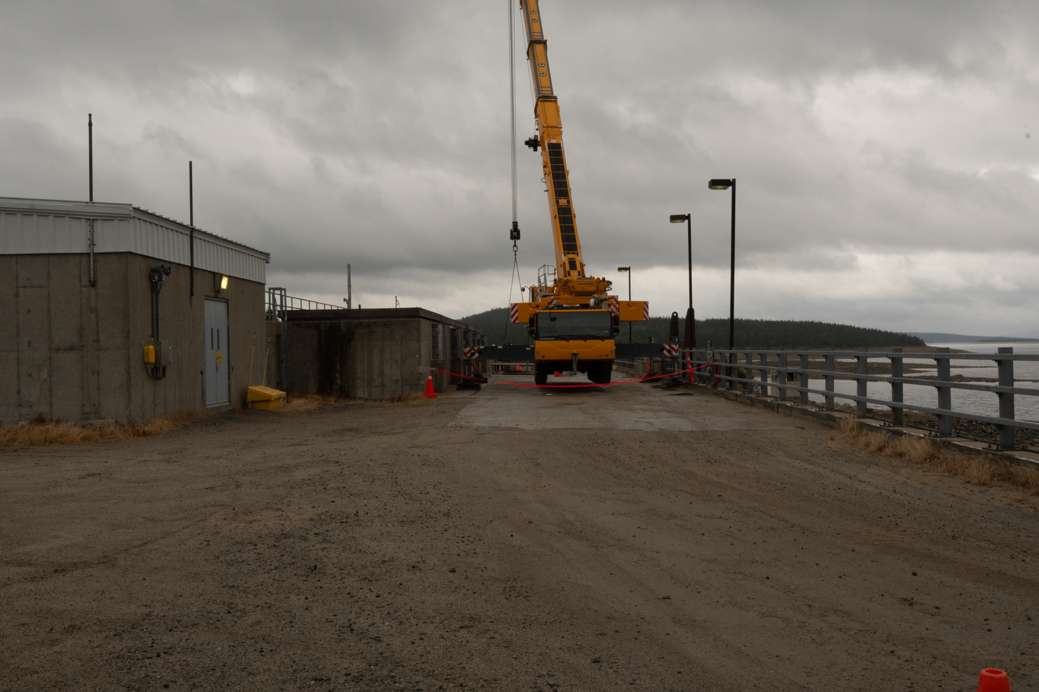
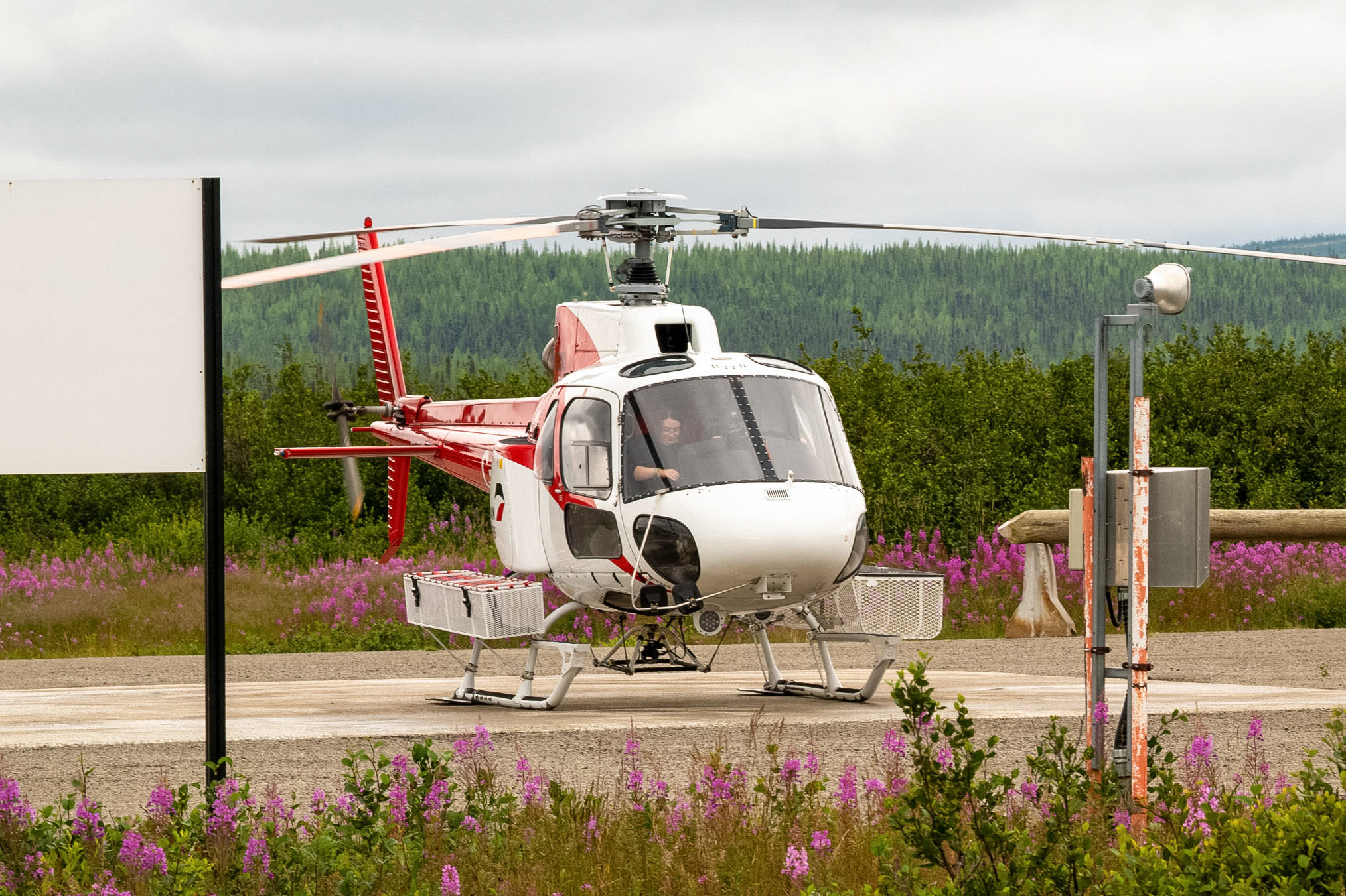
Later that day, someone coptered in.
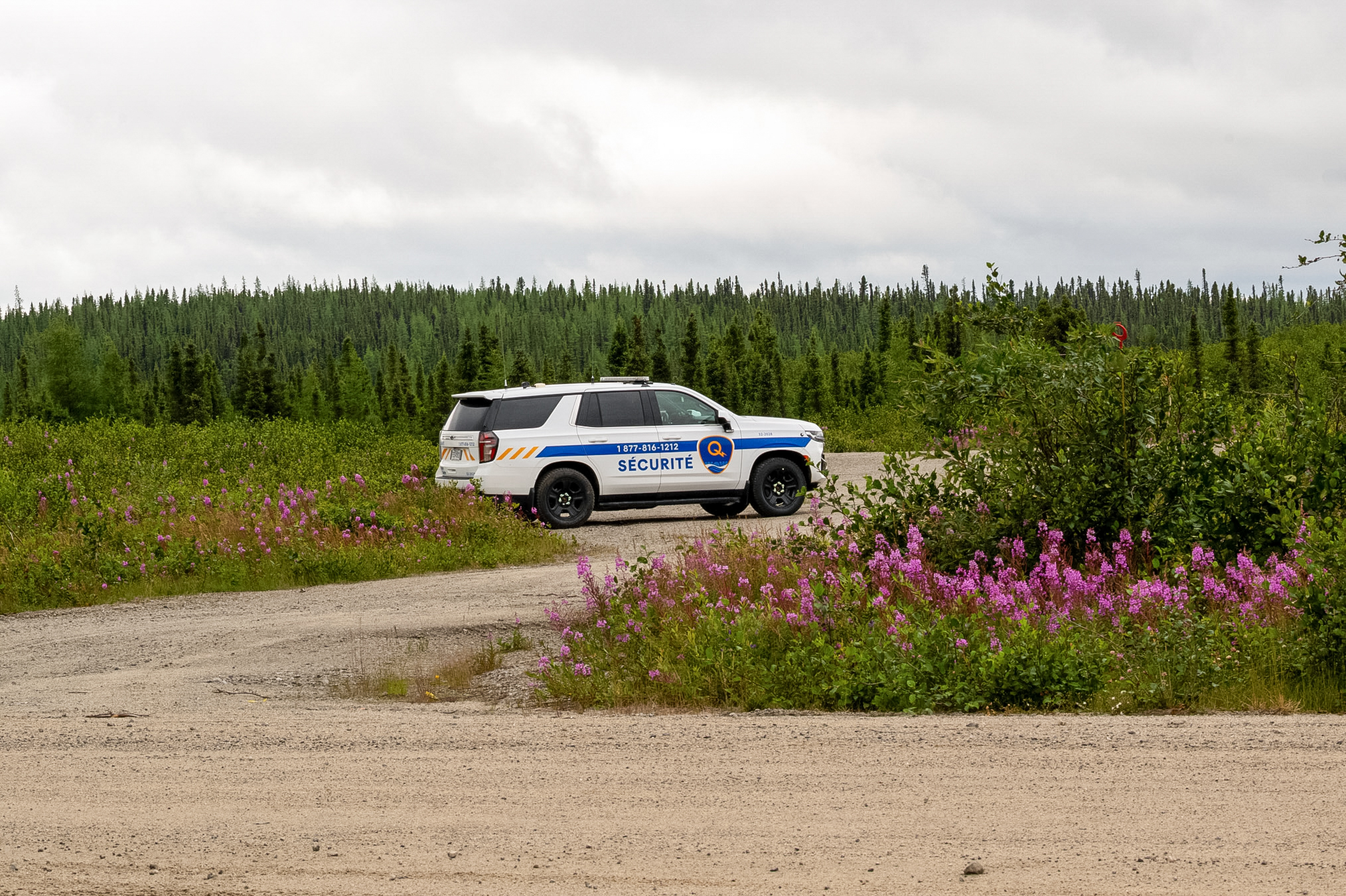
Security was present. This is just outside the workers complex.
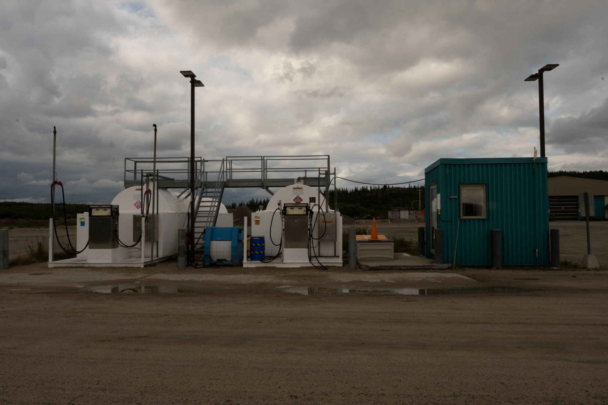
The gas center is across the road. They were 2.85/liter, whereas the outfitter down the road at 358 km was 3/liter. The first time I got gas, they let me purchase sodas in the comissary, a no-no! The next time, I was cut-off. Seems they got scolded, as they can only sell gas to tourists, not goodies.
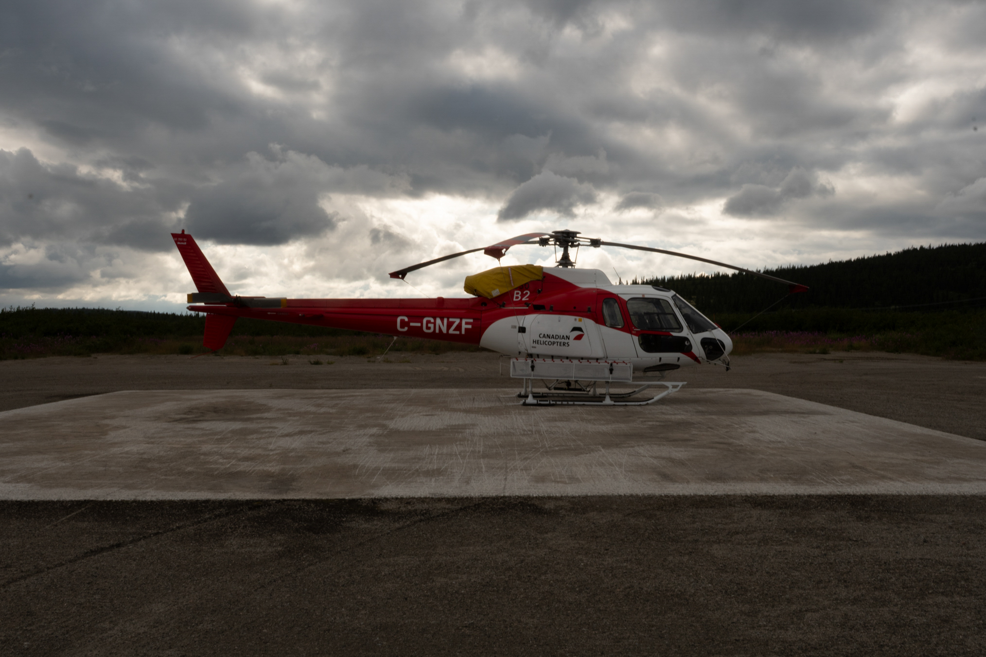
The helicopter base.
Another shot of the gas center.
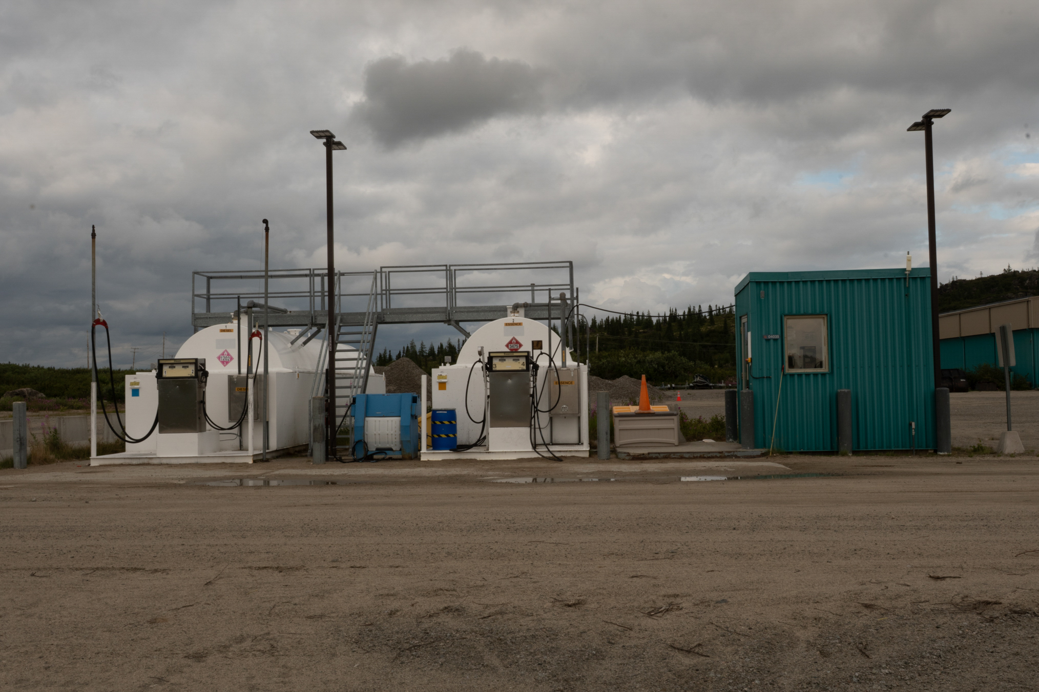
On July 26th, I headed down the road along the west side of the reservoir. No one travels here, and as I had been warned not to fish or they would confiscate my equipment - non-Quebec residents are not allowed to fish above the 52 parallel without a guide, nonsense - I spent a week alomng this road.
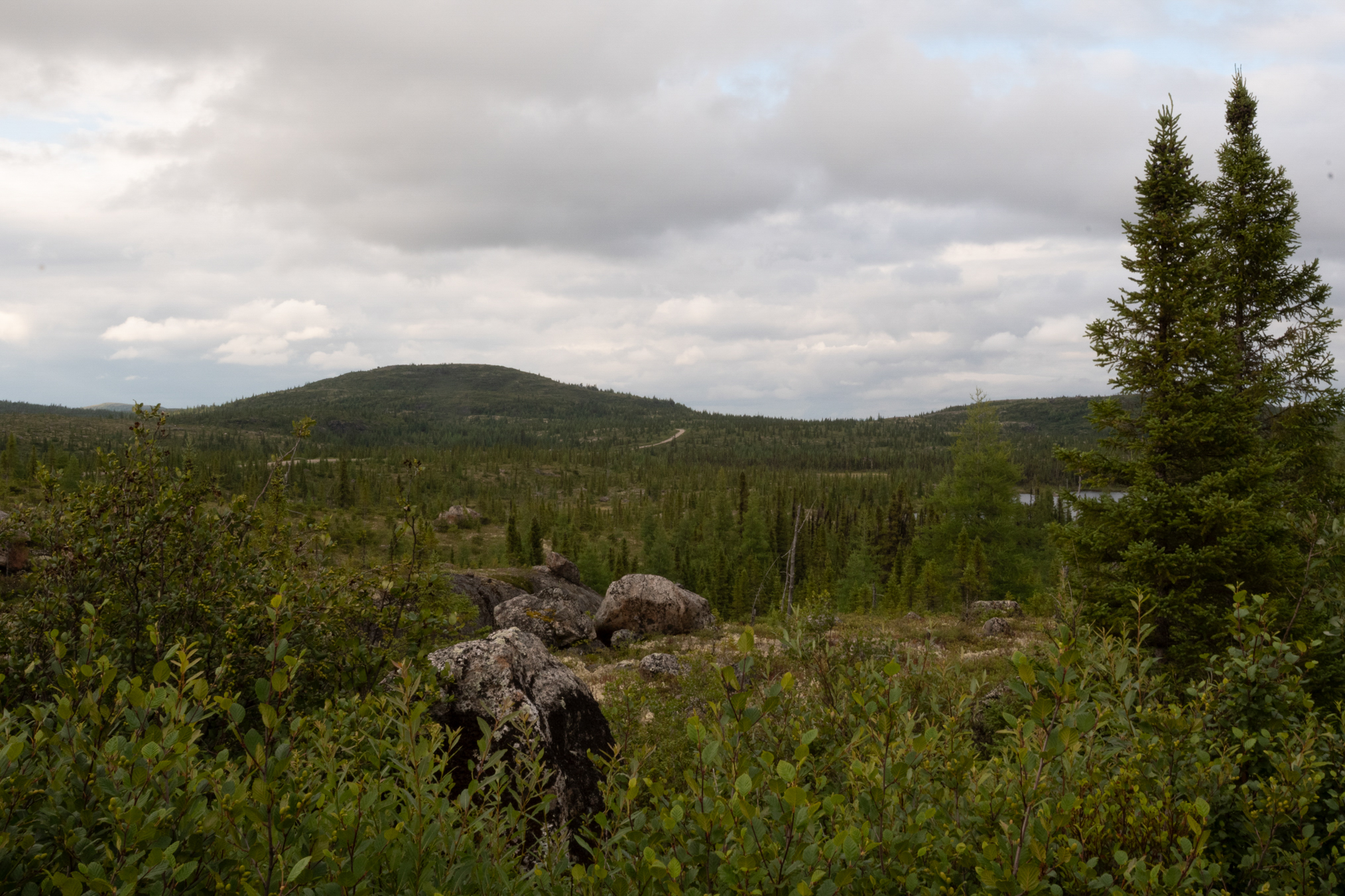
Pretty benign scenery the first 50 km.
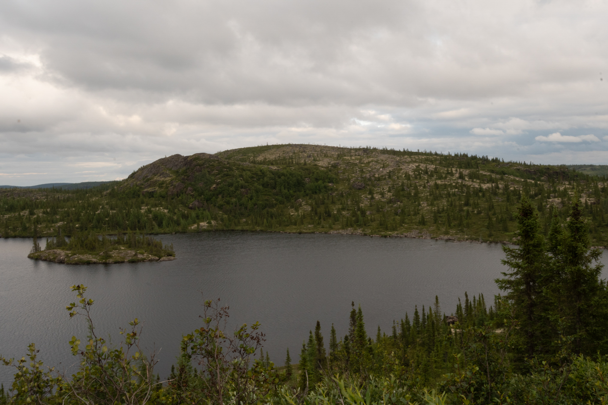
Late in the day, the skies cleared.
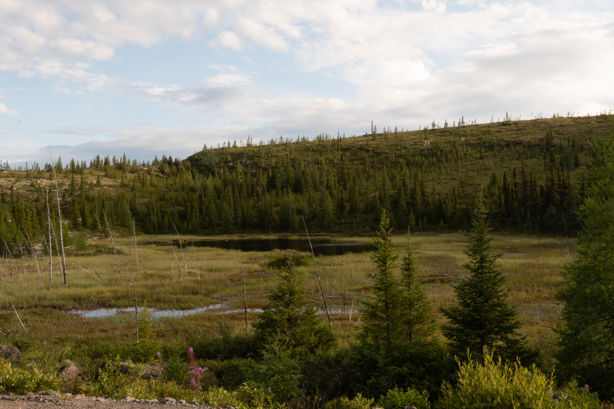
Another shot.
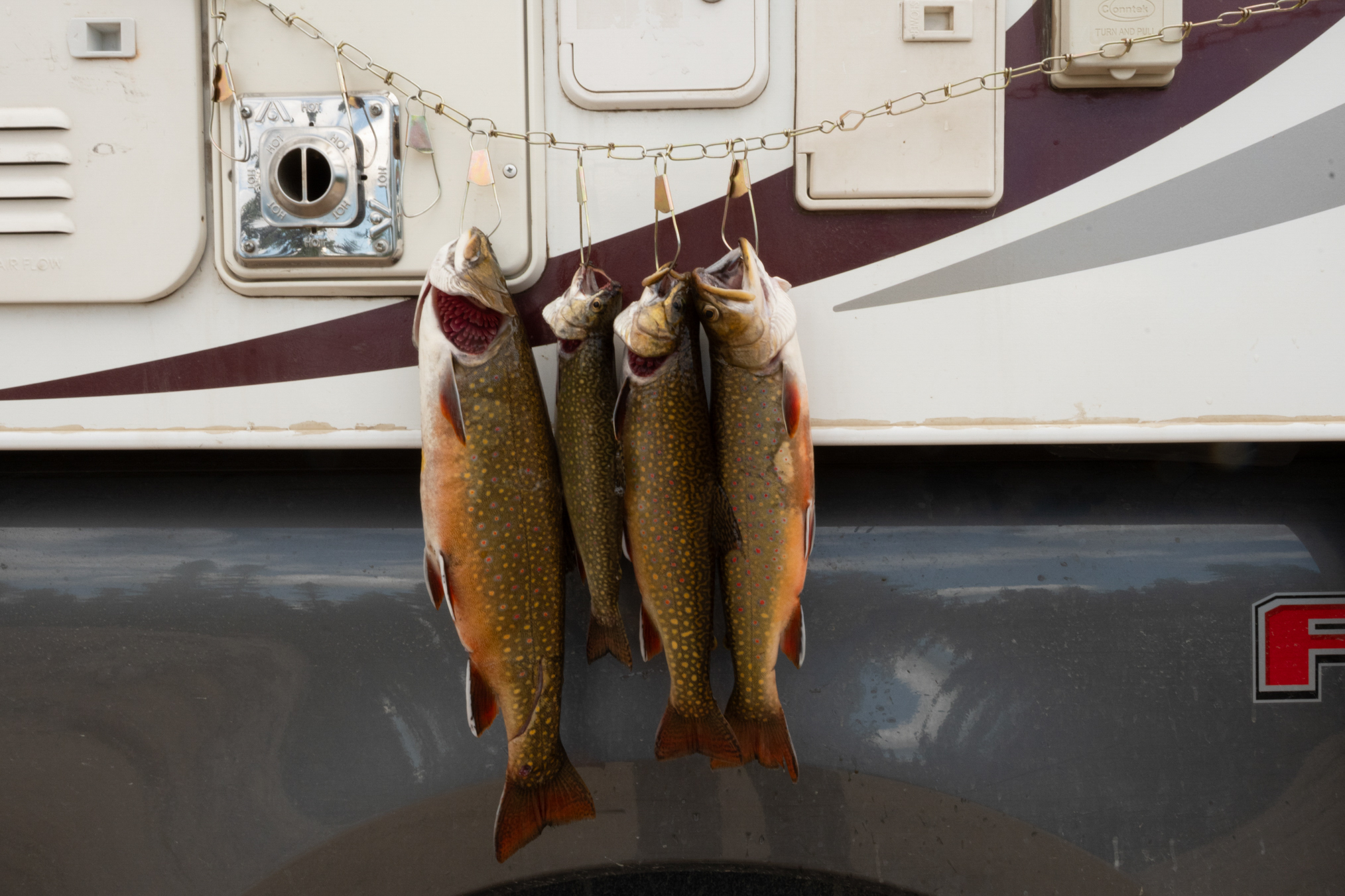
I fished here last year, and new the good spots. There are two large culverts, which I refer to as BTL north and south culverts, BTL for Brook Trout Lake. They are about 25 km apart, at km 56 and 80 or so. These were from BTL south culvert. The one on the left is very nice, around 2-2.5 lbs. They fight like crazy. Caught them on curly-tail grubs. Big ones sit right by the culvert, smaller ones to the back. These were all I would catch here. Seems it takes some time until these spots get new fish. Note the scar on the tail of the big one.
Walked a bit on July 27th, and took these photos.
This is the south culvert location, actually two culverts. The big Brook Trouts sits under the left culvert.
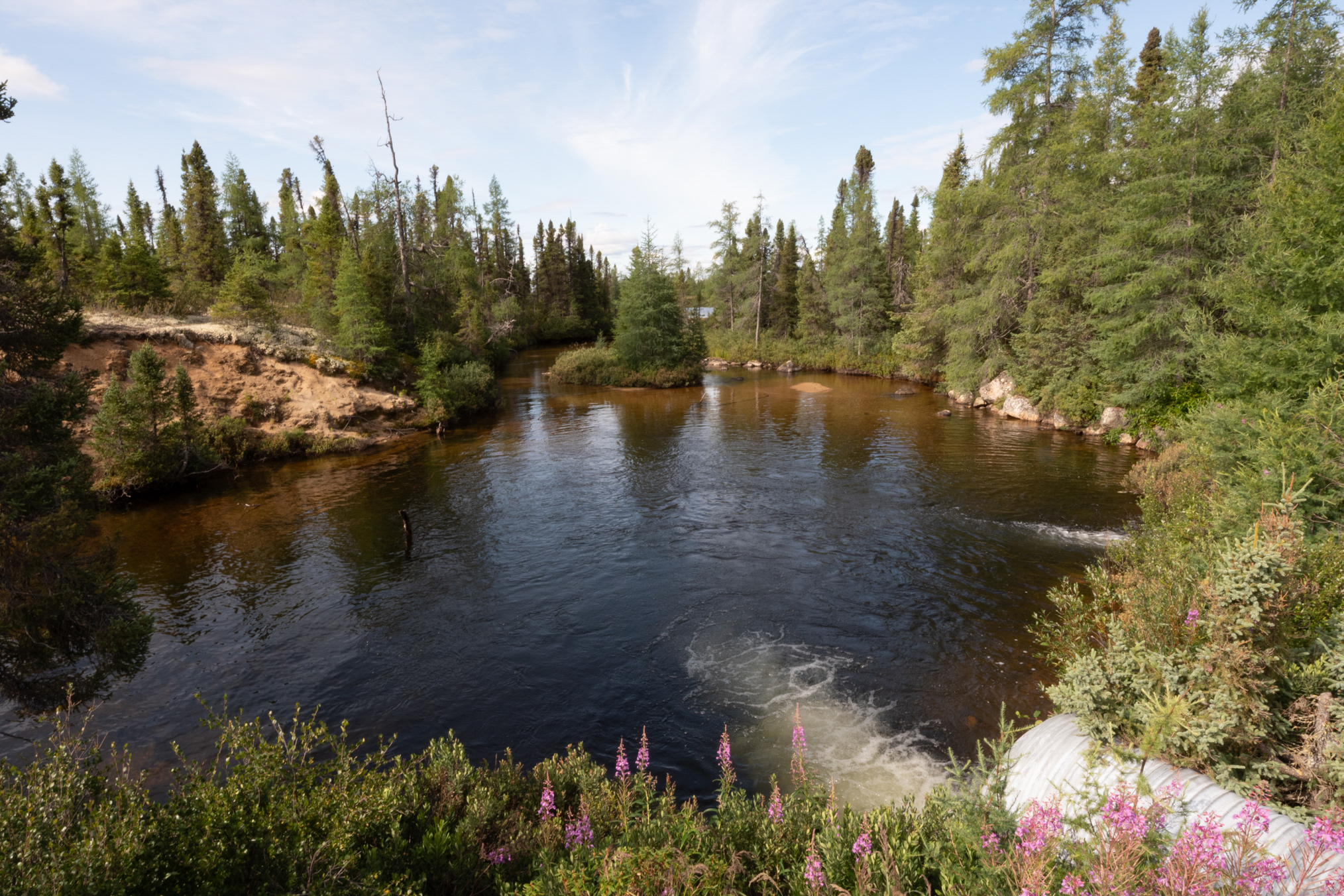
The fishing spot is on the right of the culverts. Very little bank to stand on, and I had to flip the fish up the bank and jump on them to secure them - I don't have a trout net.
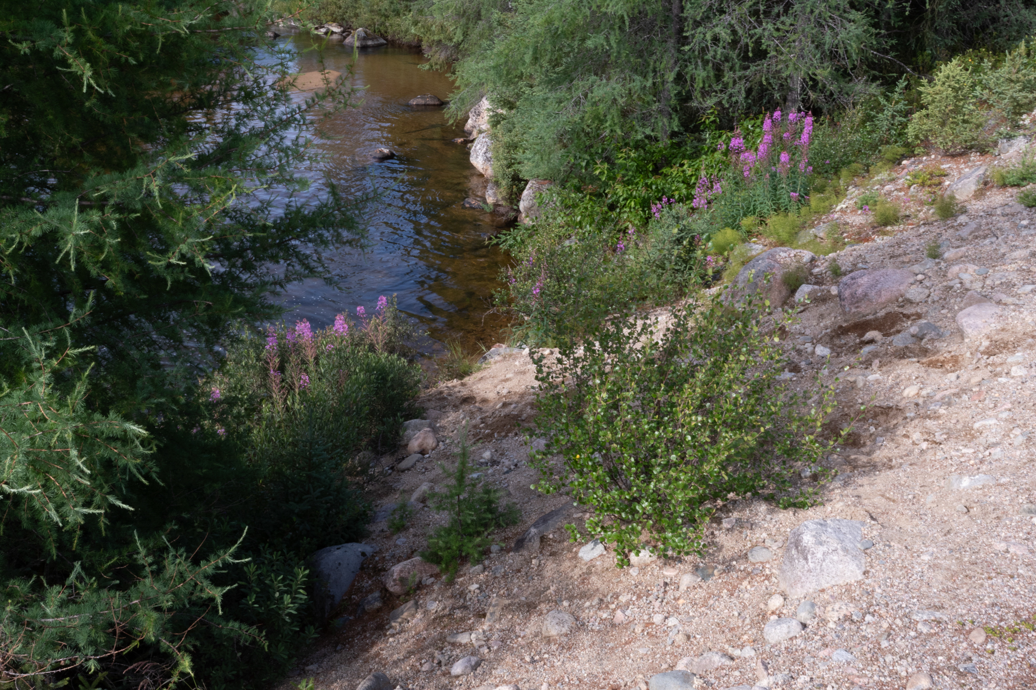
Better look at the shore.Very steep and loose footing here.
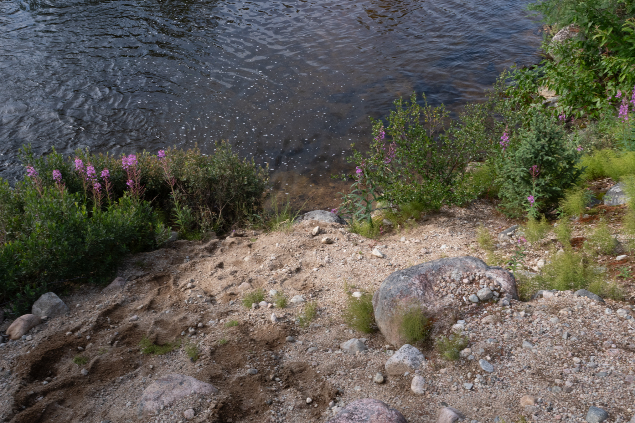
The far side has a steep sandy bank, too tricky to walk.
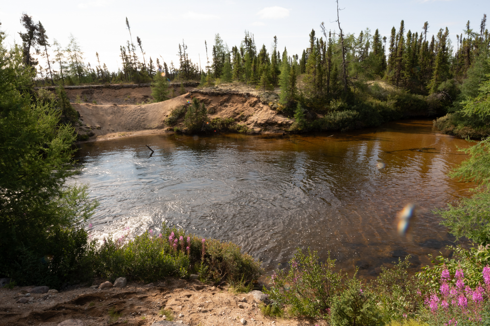
Looking from the sandy hill toward the road.
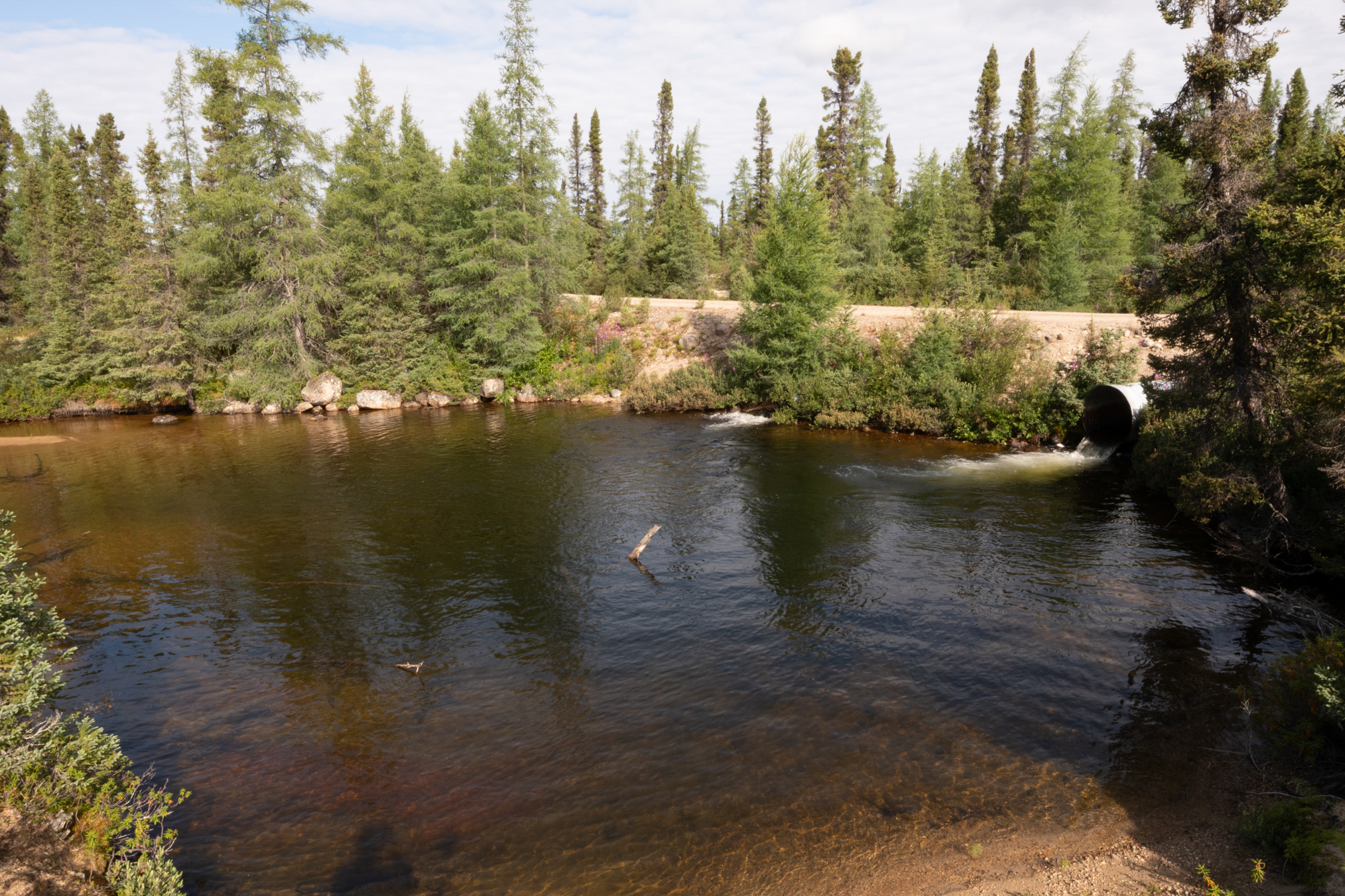
Looking just to the south of the culvert.
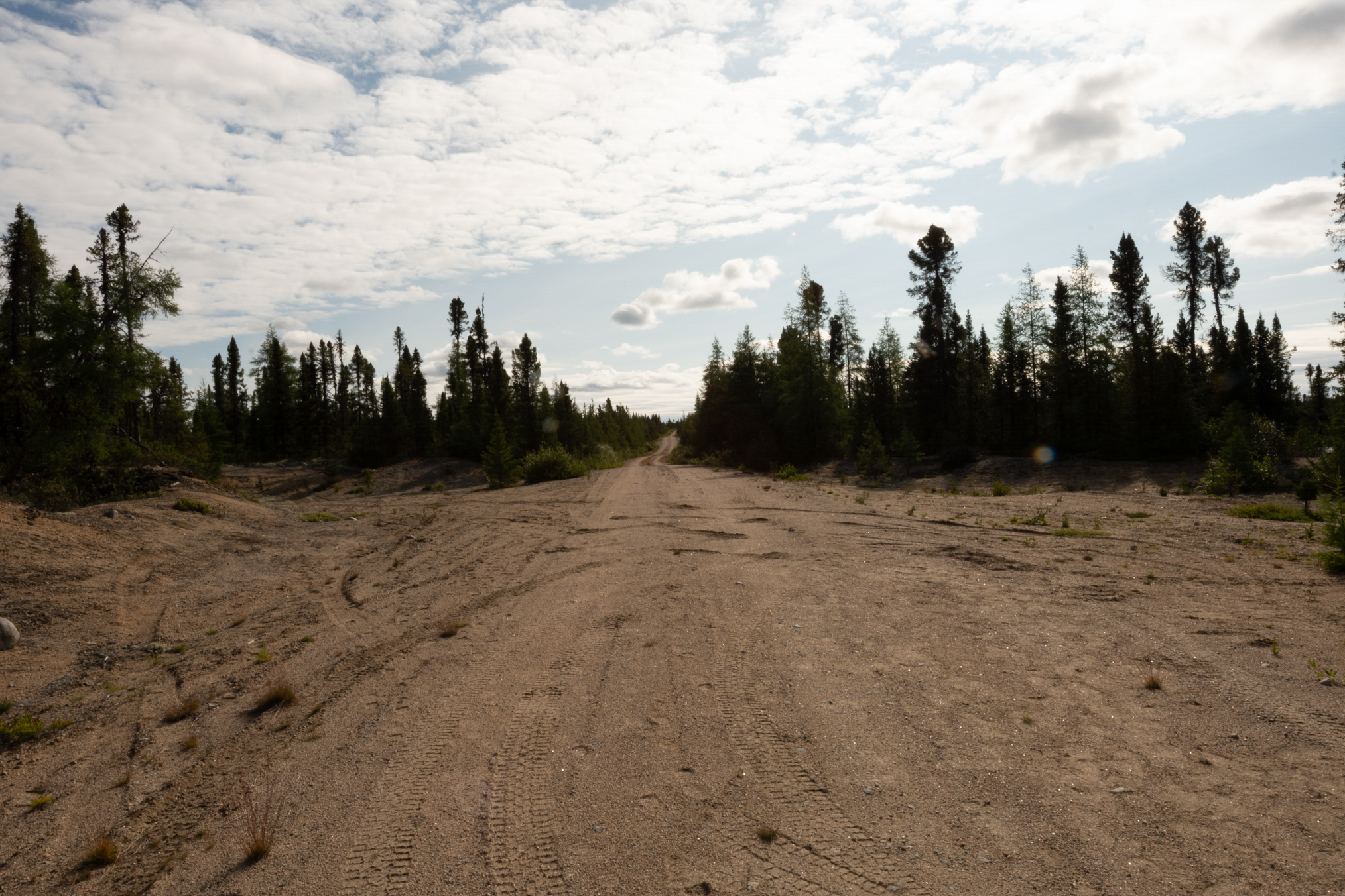
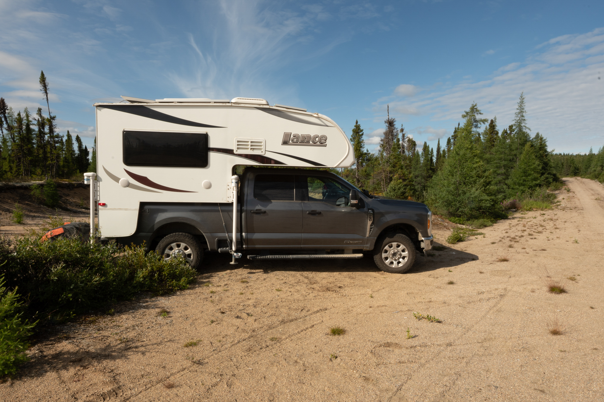
I parked here for the night, I actually parked several nights in the middle of the road, as there was no traffic.
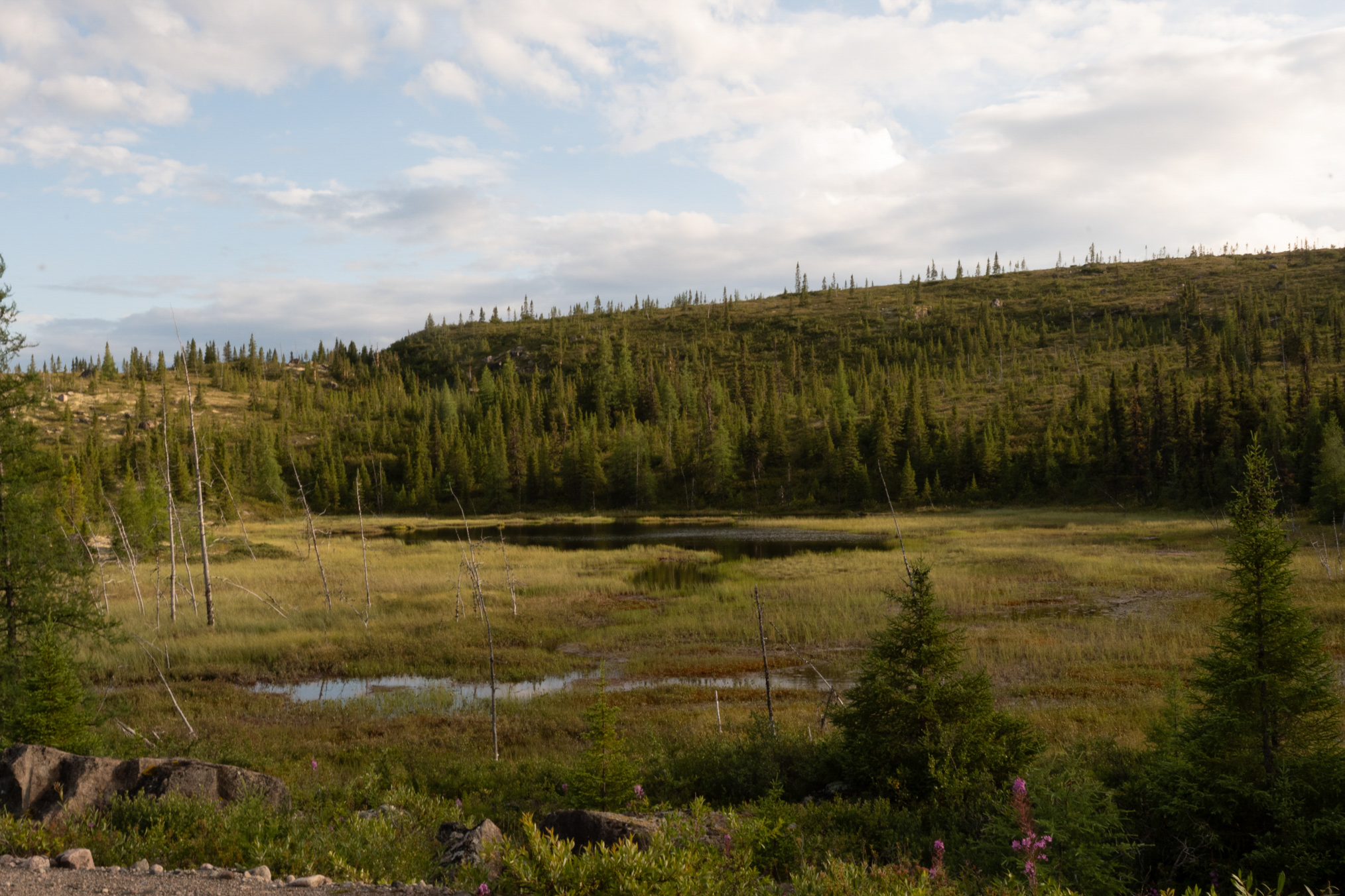
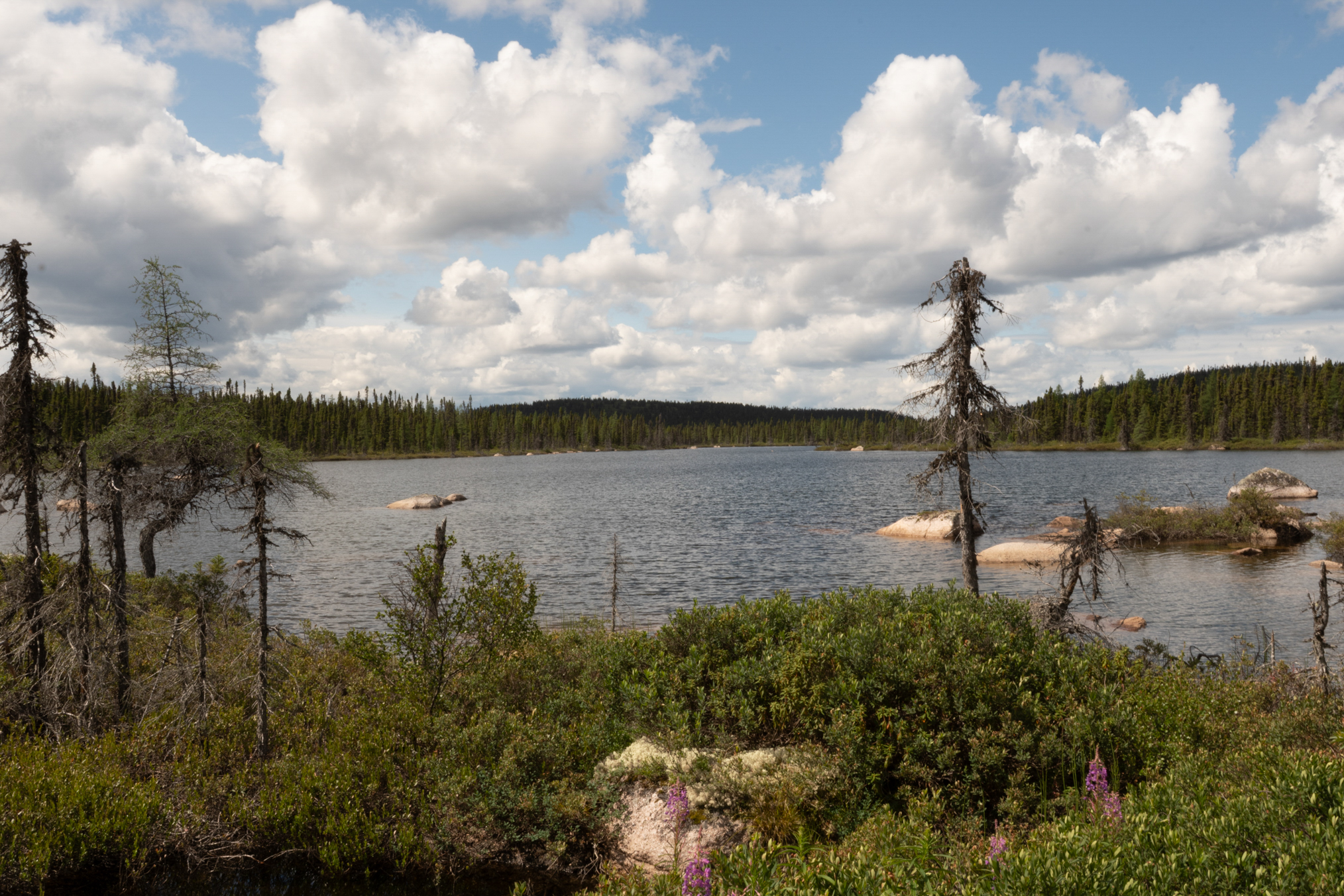
Looking at a small nearby lake. These were always full of boulders.
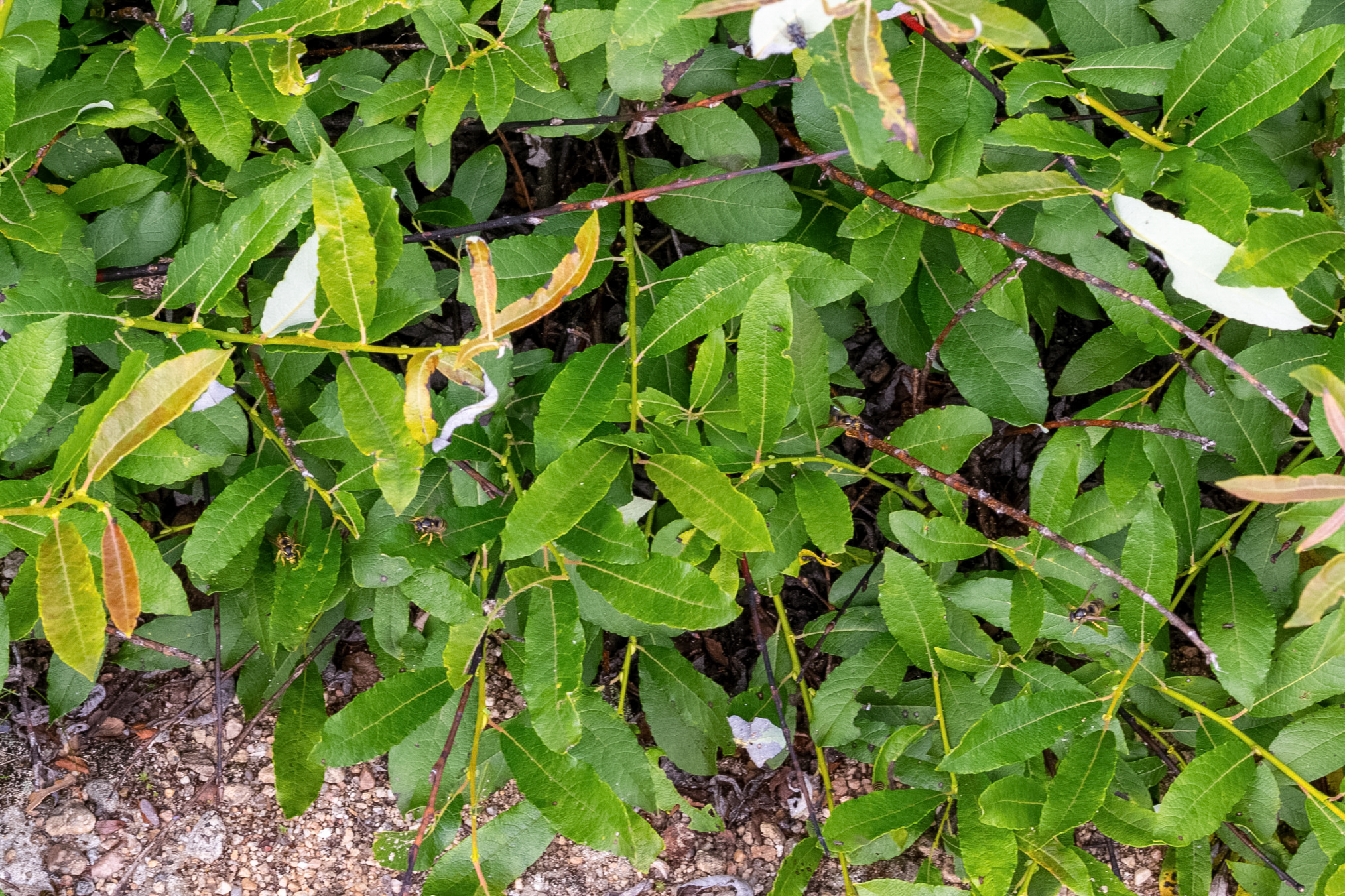
Northern Aerial Yellowjackets, Dolichovespula norvegicoides, were nesting in this willow near the culvert.
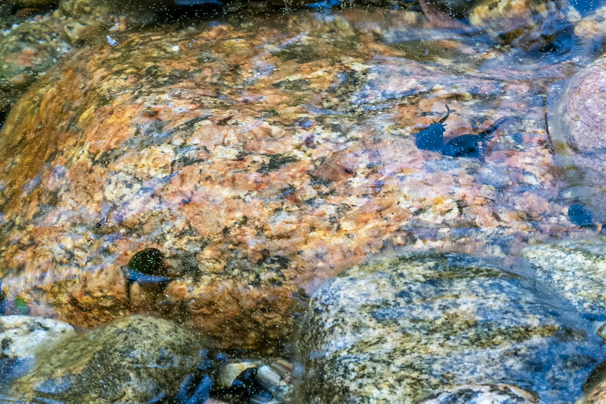
A few tadpoles, probably American Toads.
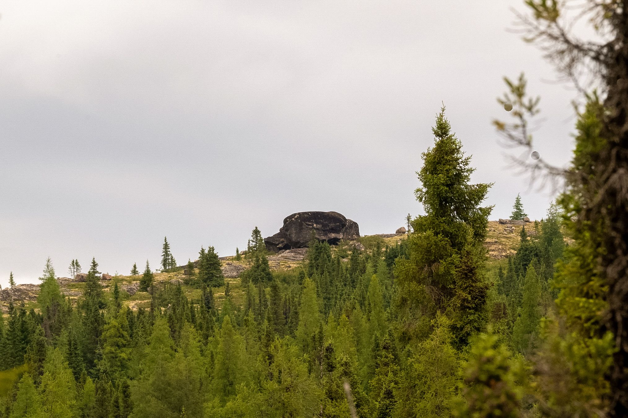
These large boulders frequently decorate the hillside.
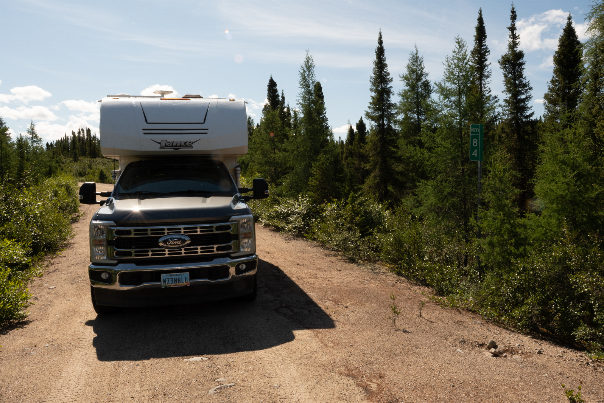
I took a series of these shots, to eventually create a crude map of the road, marking every 10 km. This was about as far south as I could go - the road got too rough after this and was not worth the risk.
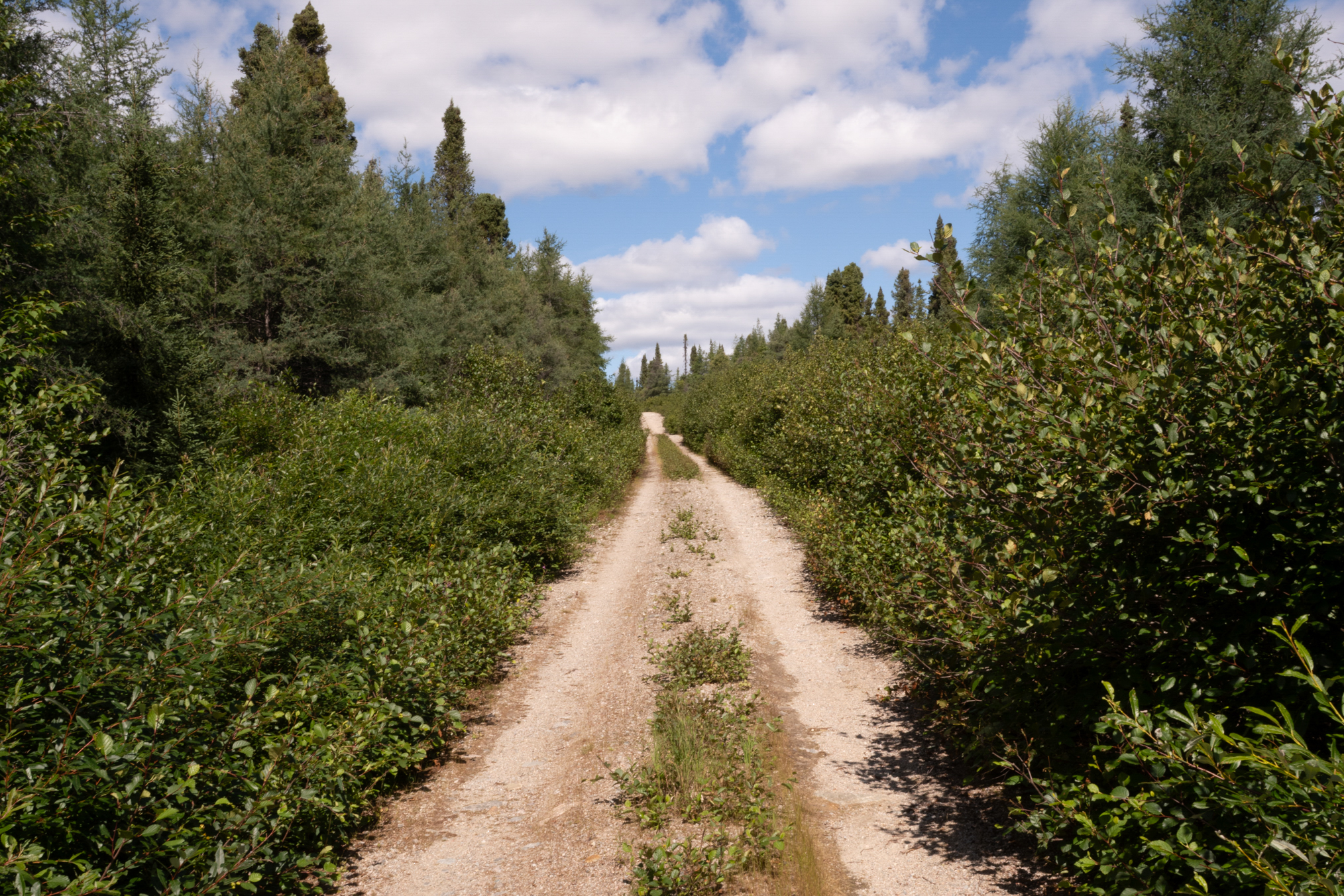
Had to run several alder gauntlets.
Had my net ripped off the side of the truck here, and had to go back to recover it.
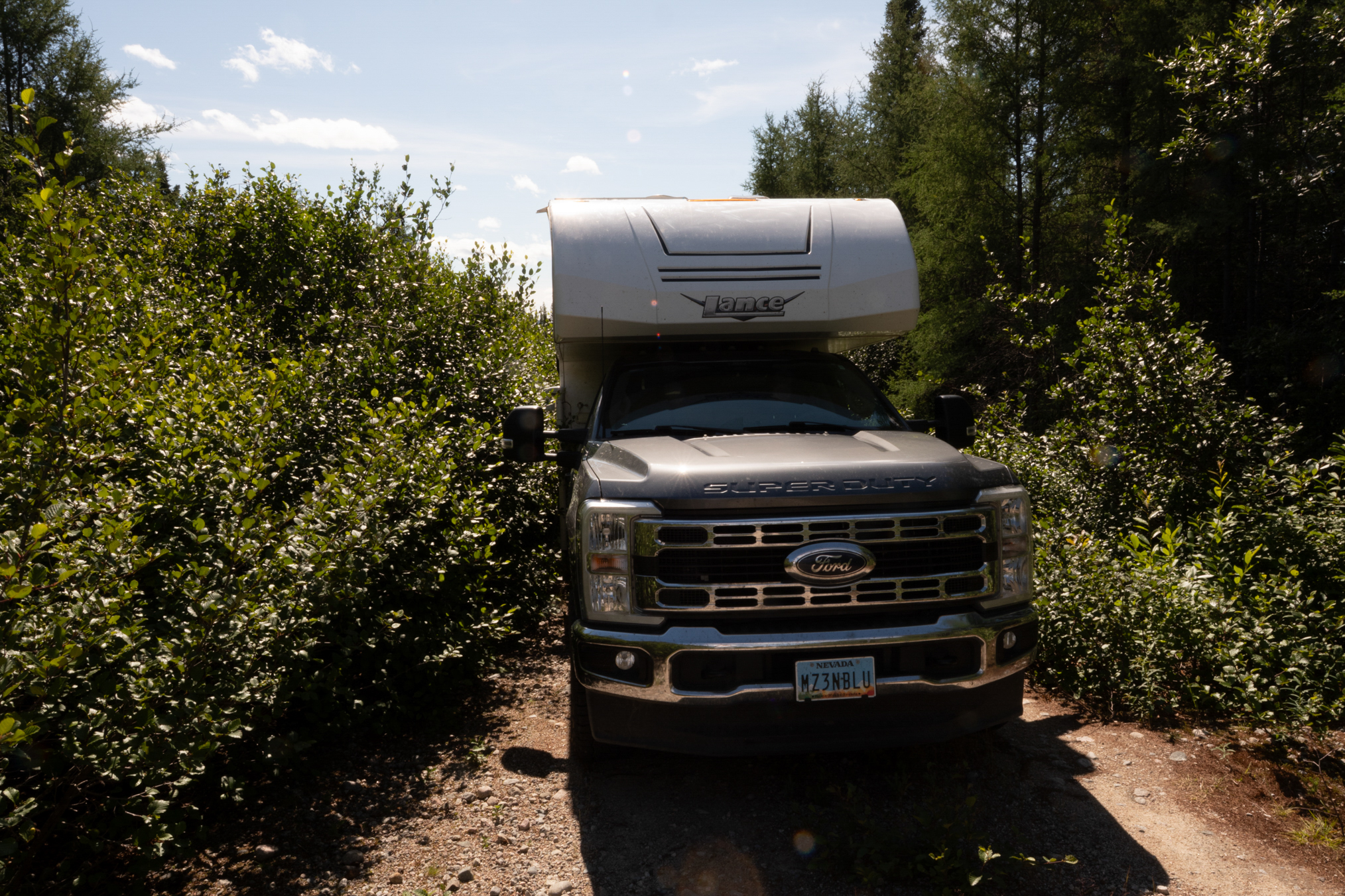
km 80.
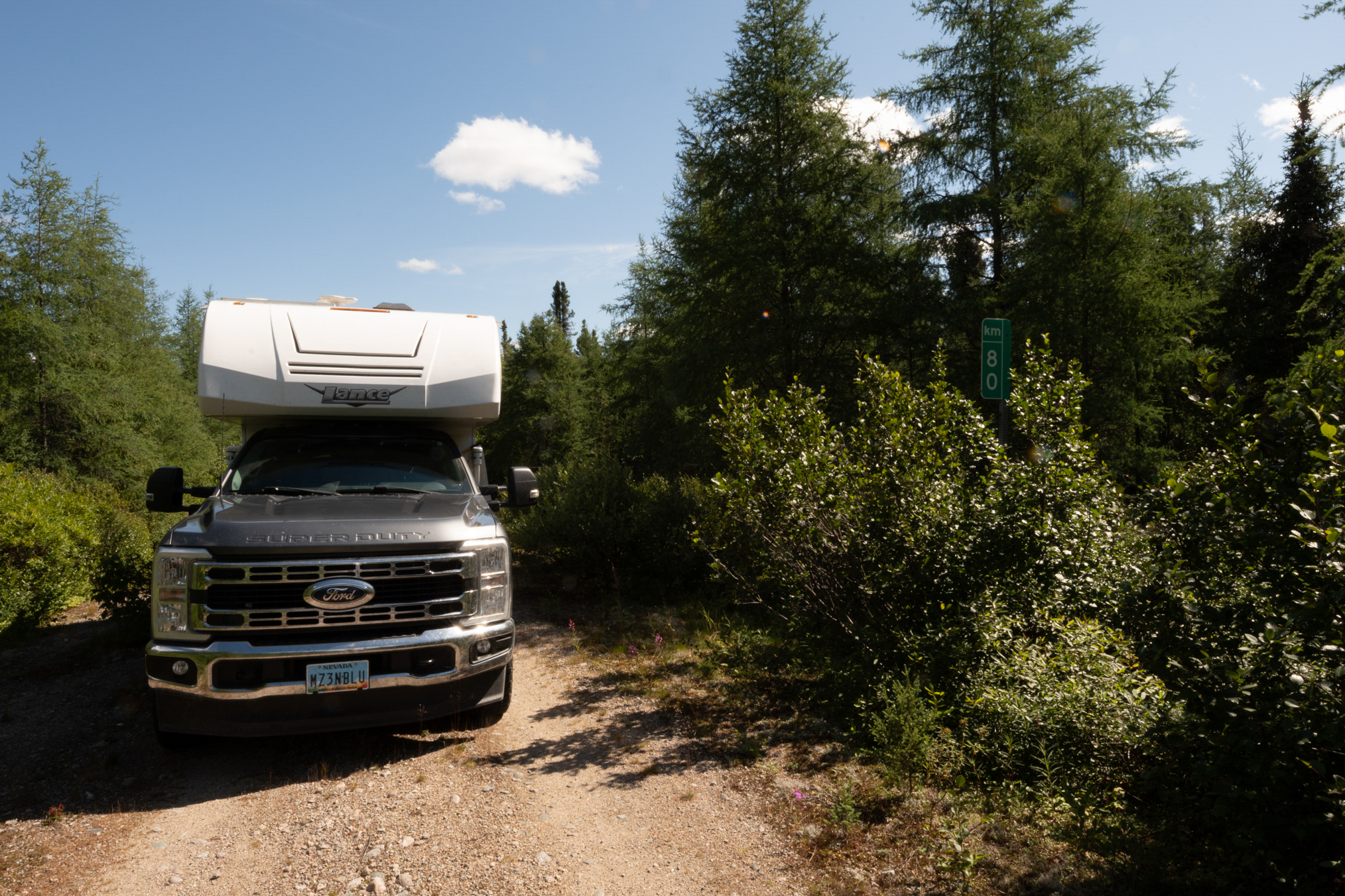
Looking back down the road.
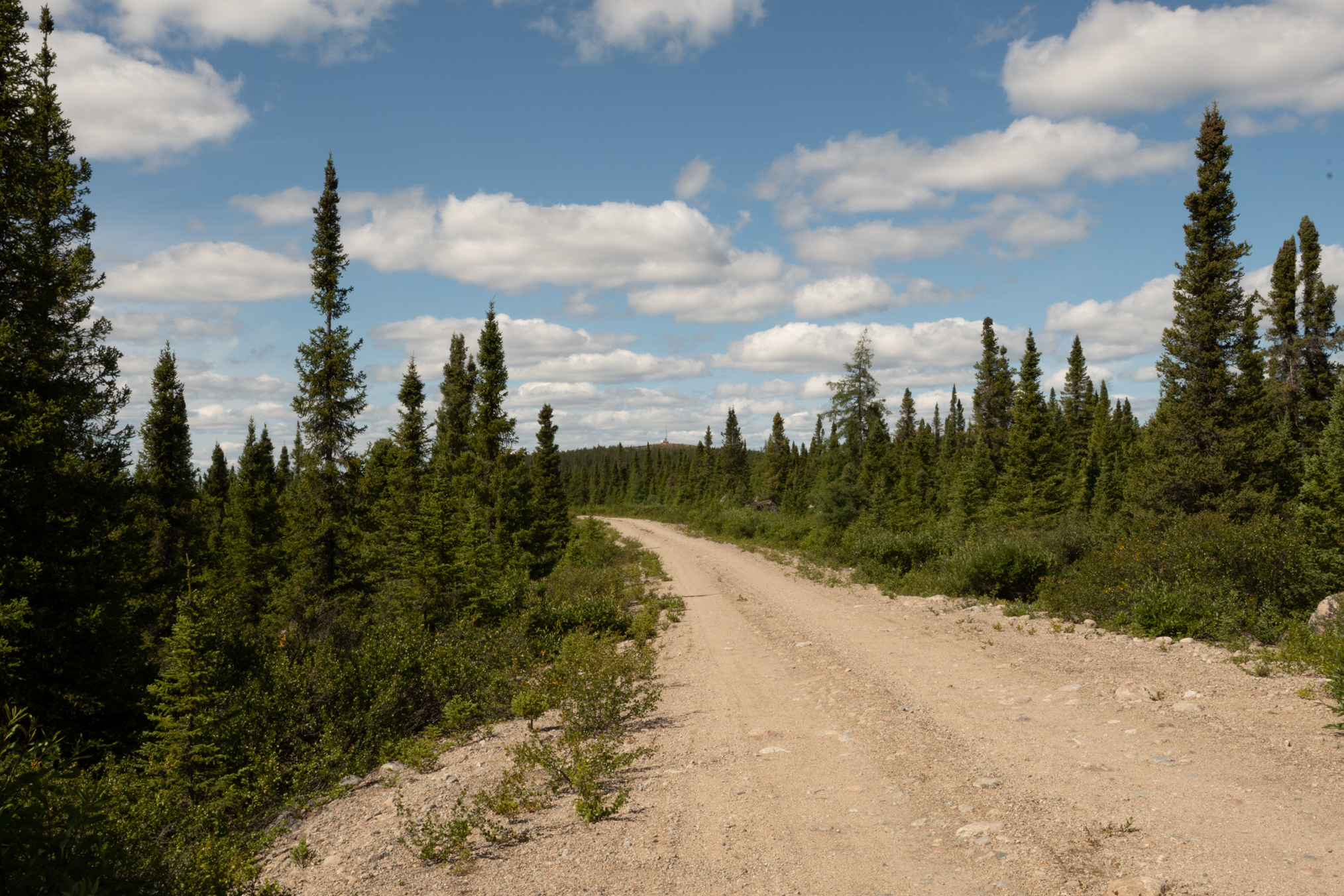
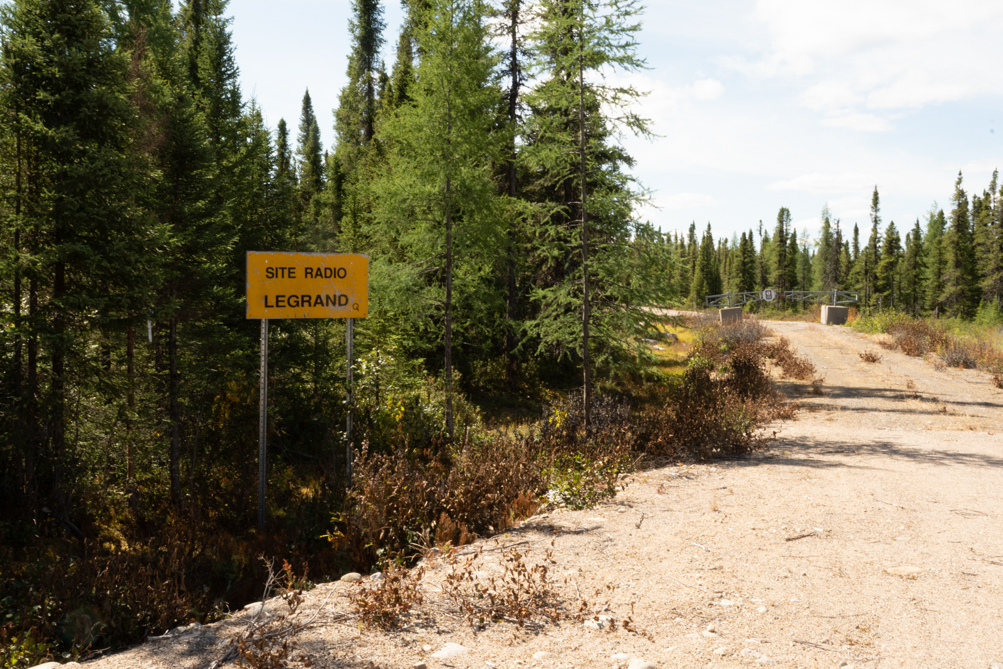
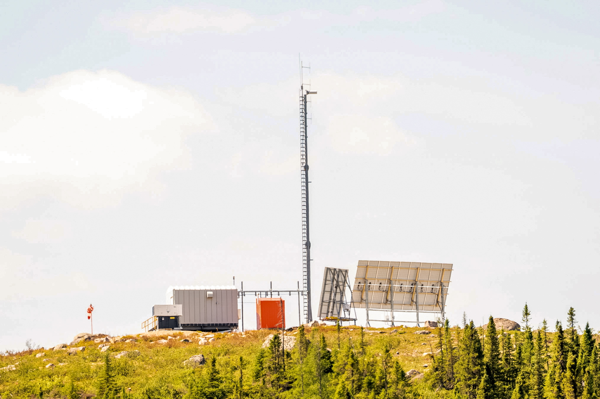
Here's the second radio station on the road, around 70 km.
Another of the shallow lakes lining the road. These never produced fish.
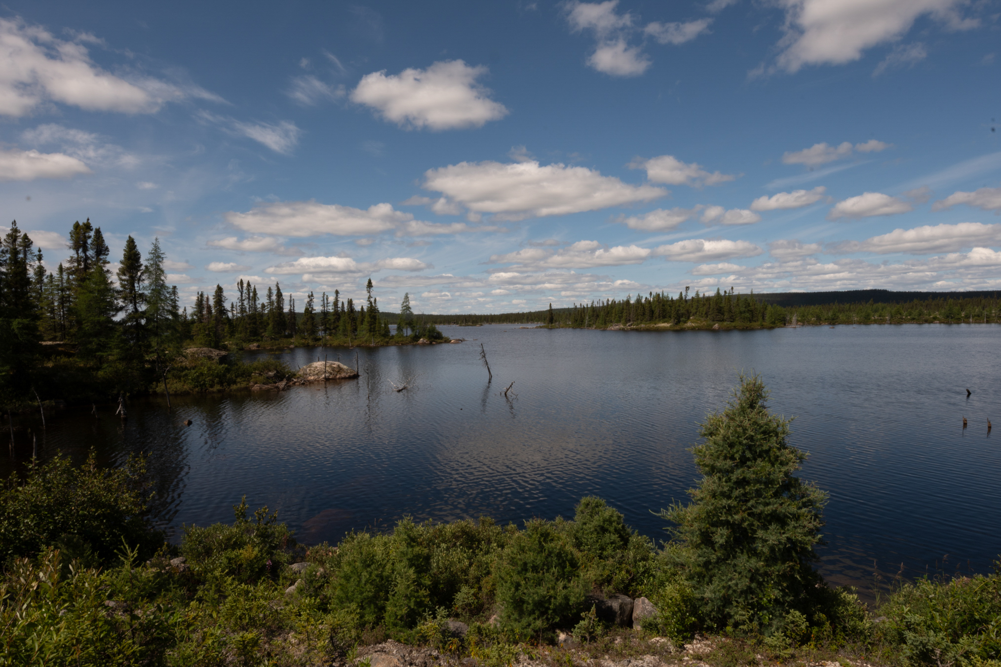
Another view.
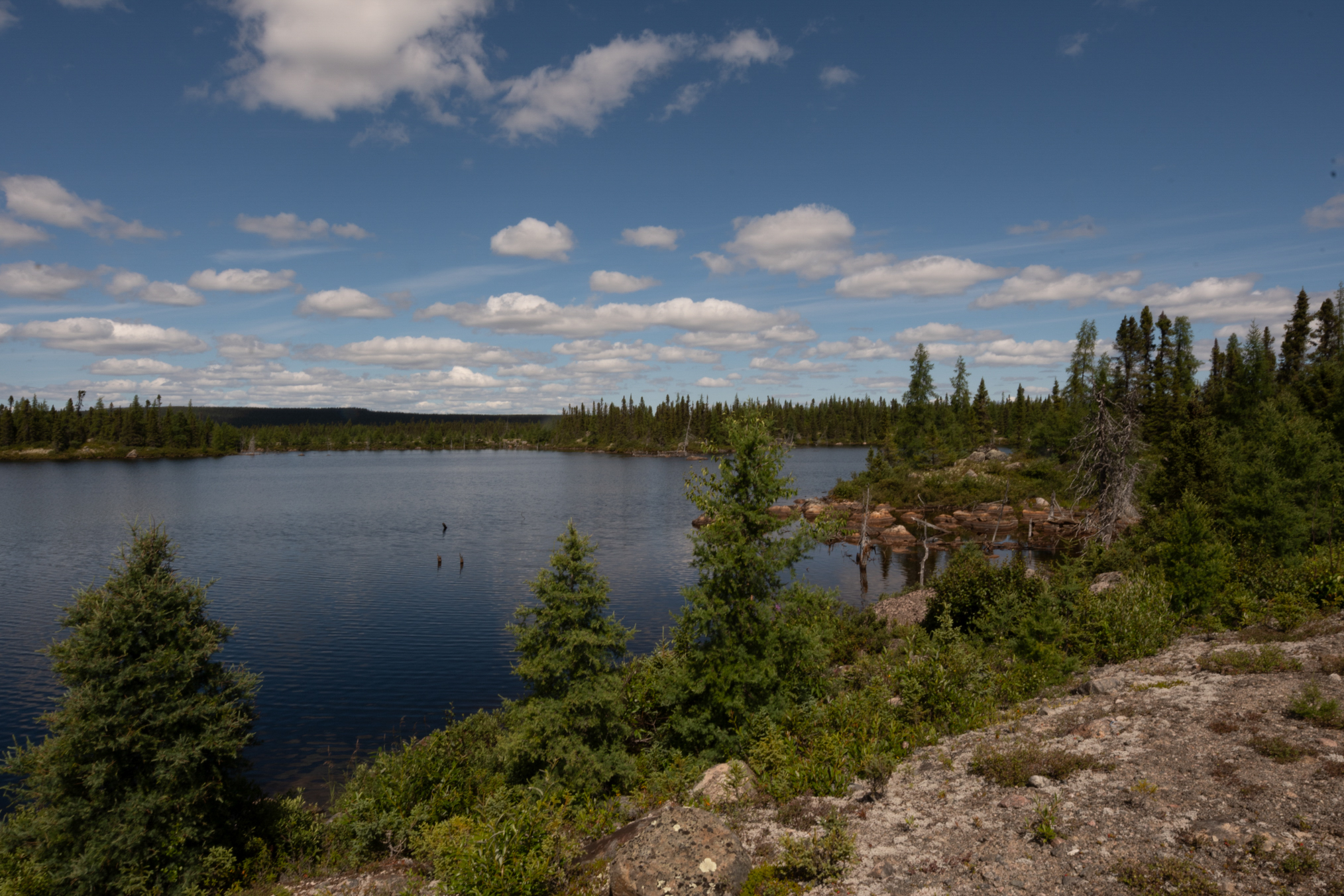
And another.
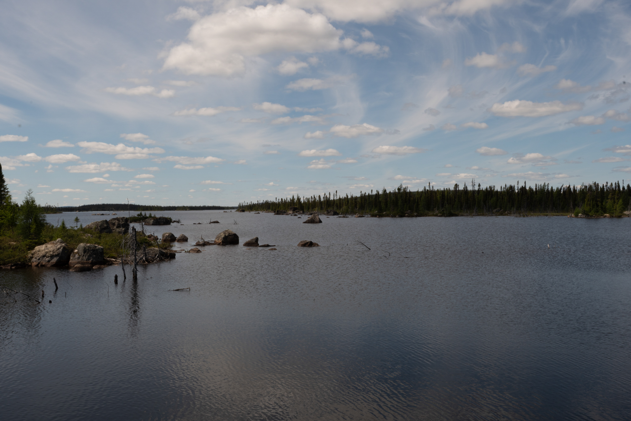
Show cases the rocky waters
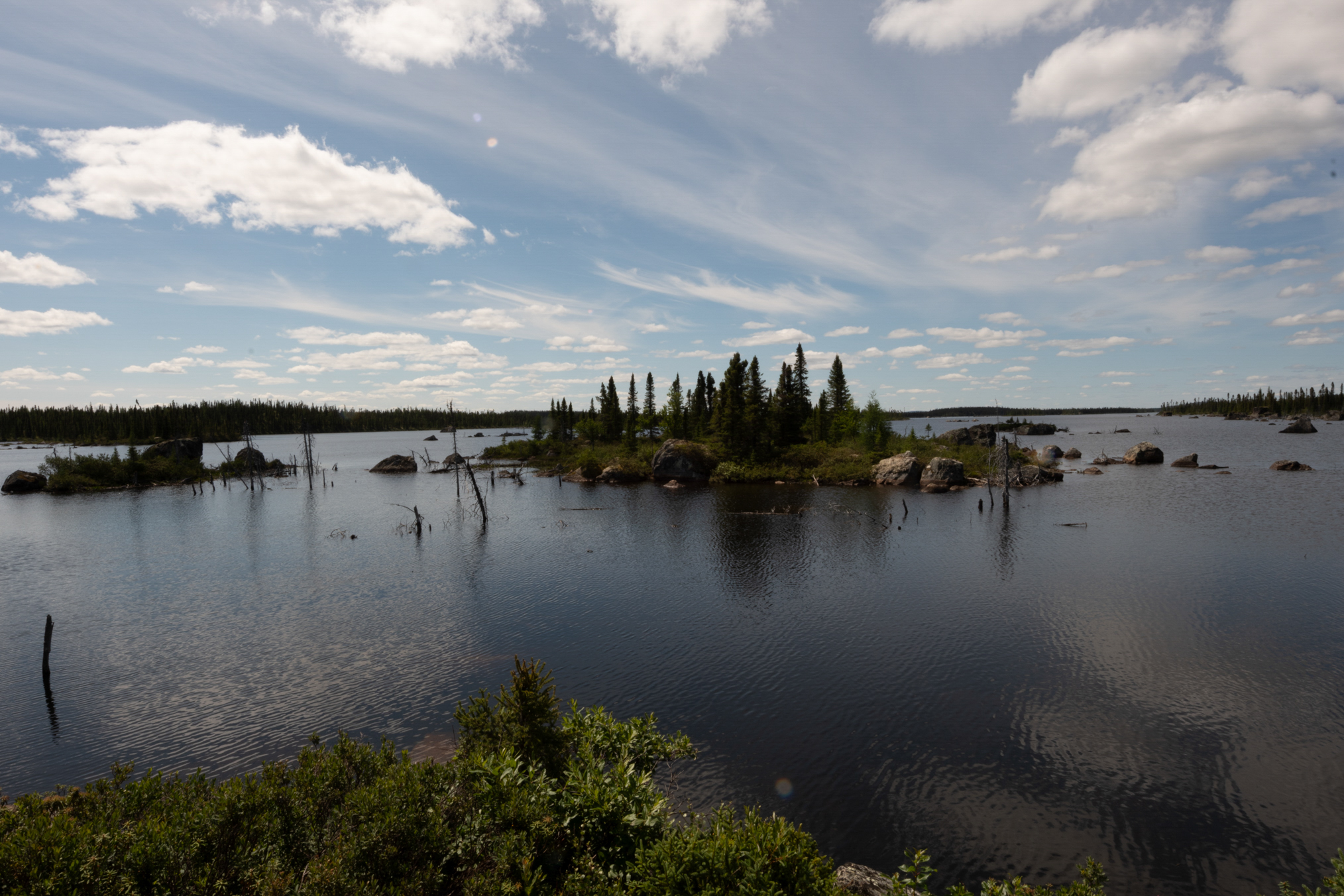
This lake is crossed by the road.
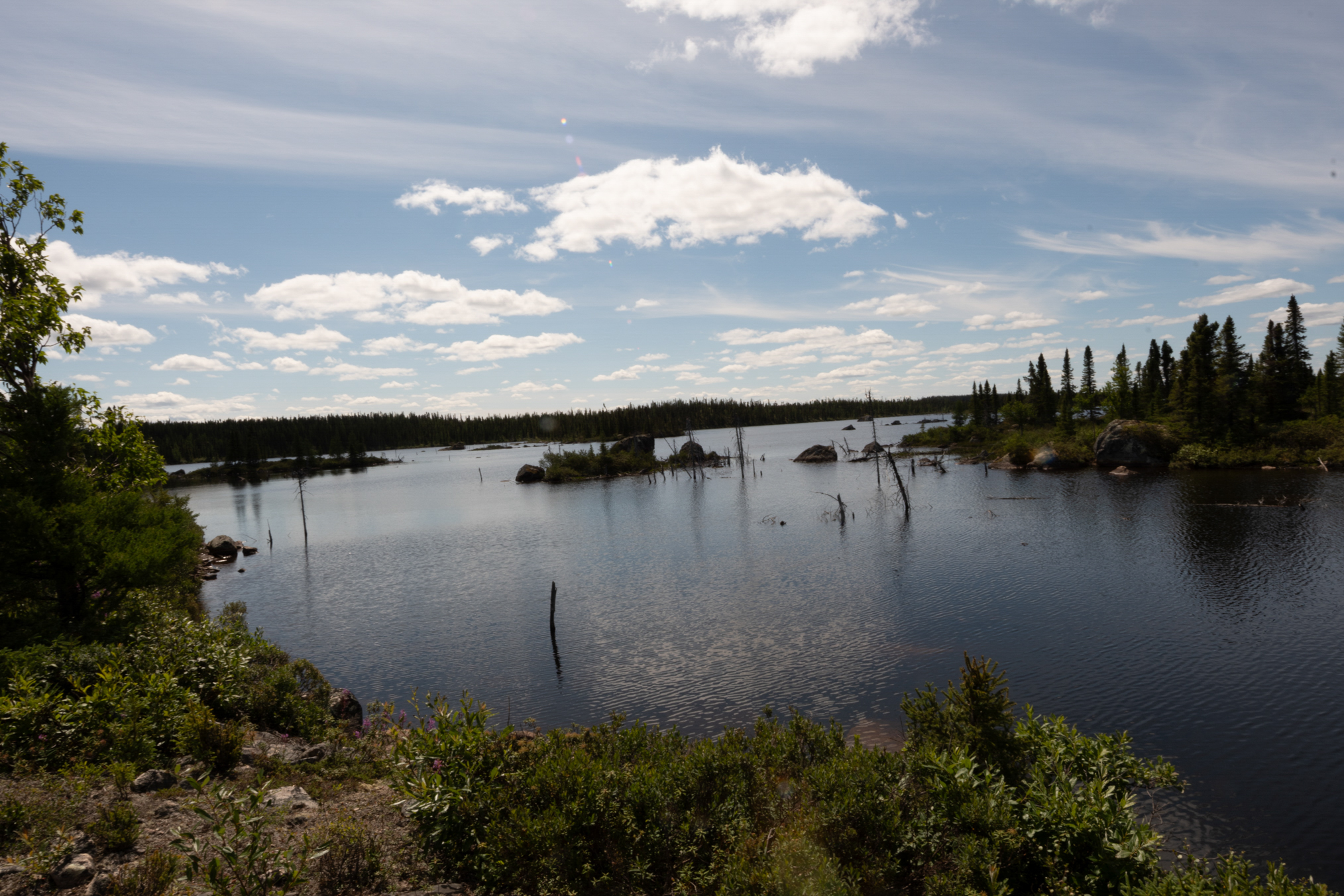
This shows the road splitting the lake. Was in good condition.
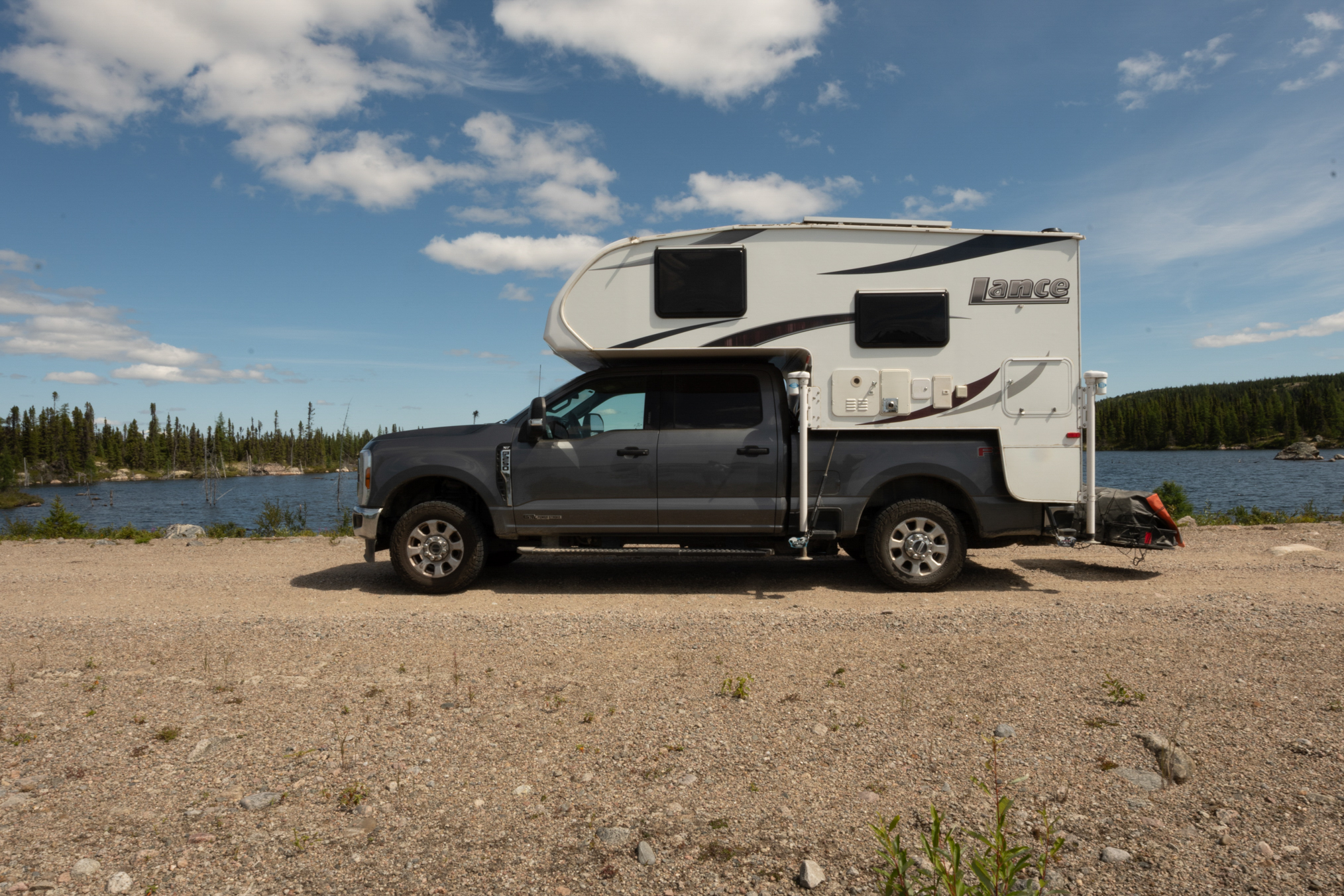
Another view.
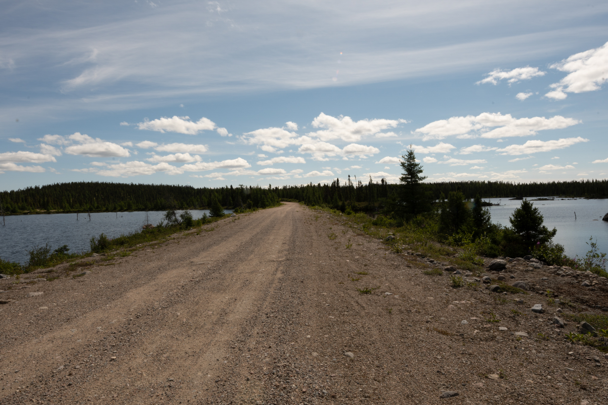
And another.
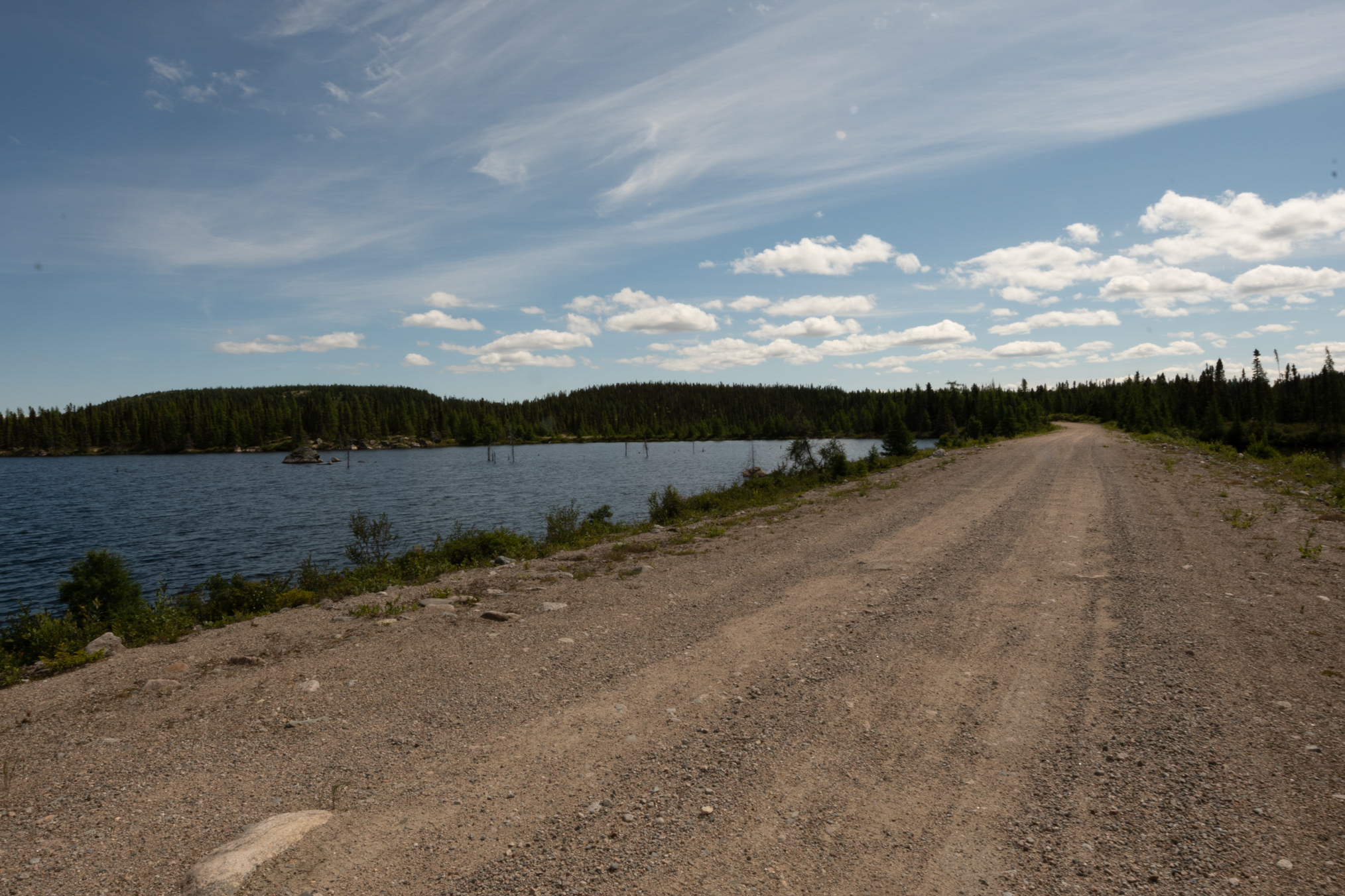
These orange markers indicate soft spots to avoid.
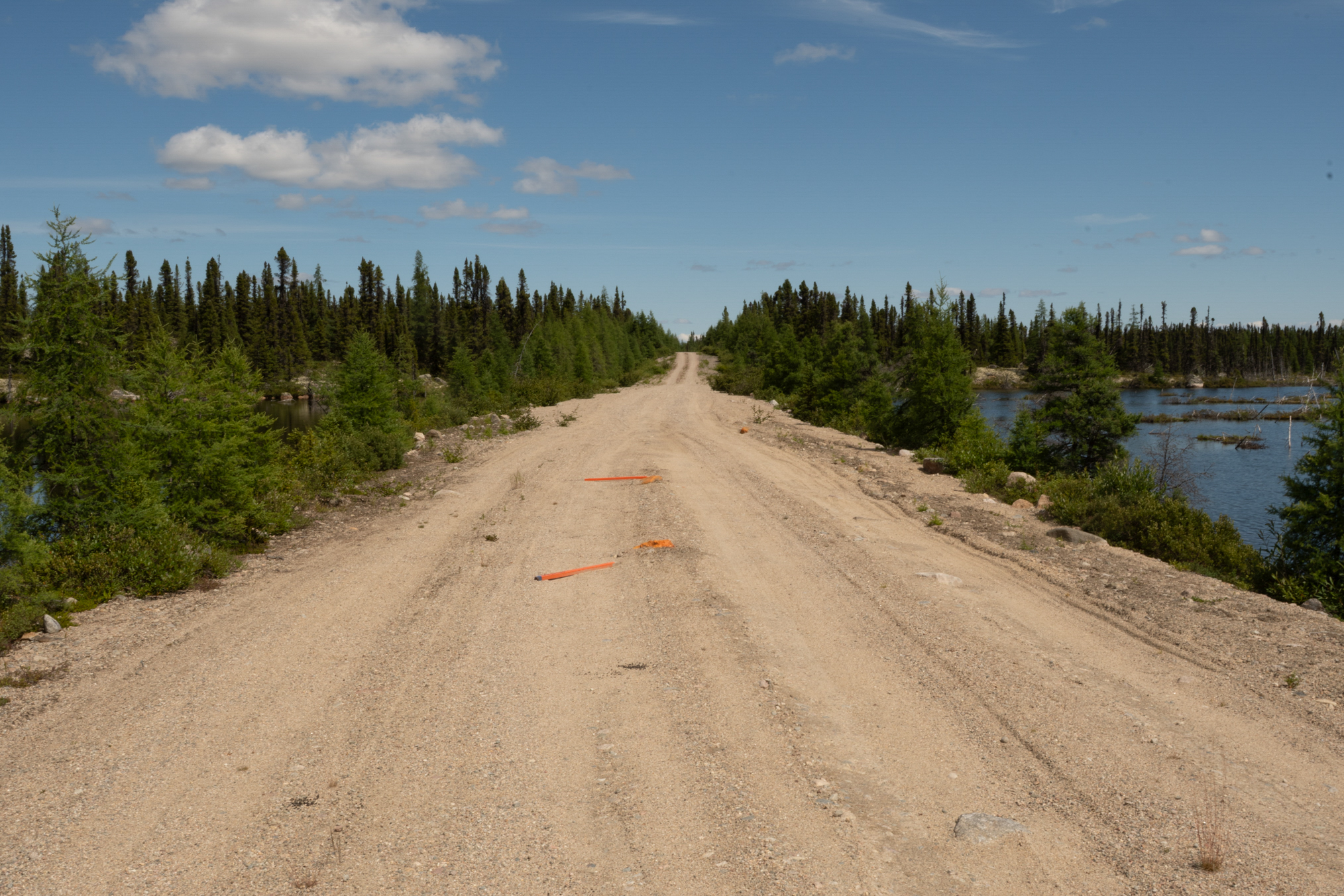
I tried to hike these side access roads for butterflies, but realized that they were treated with herbicides which made for poor habitat.
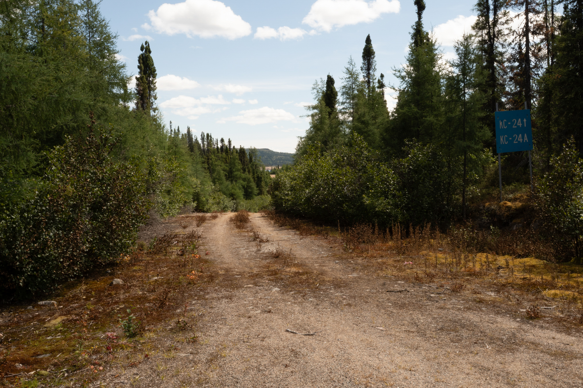
A really bad spot.
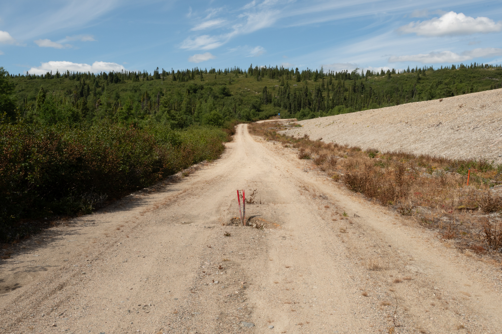
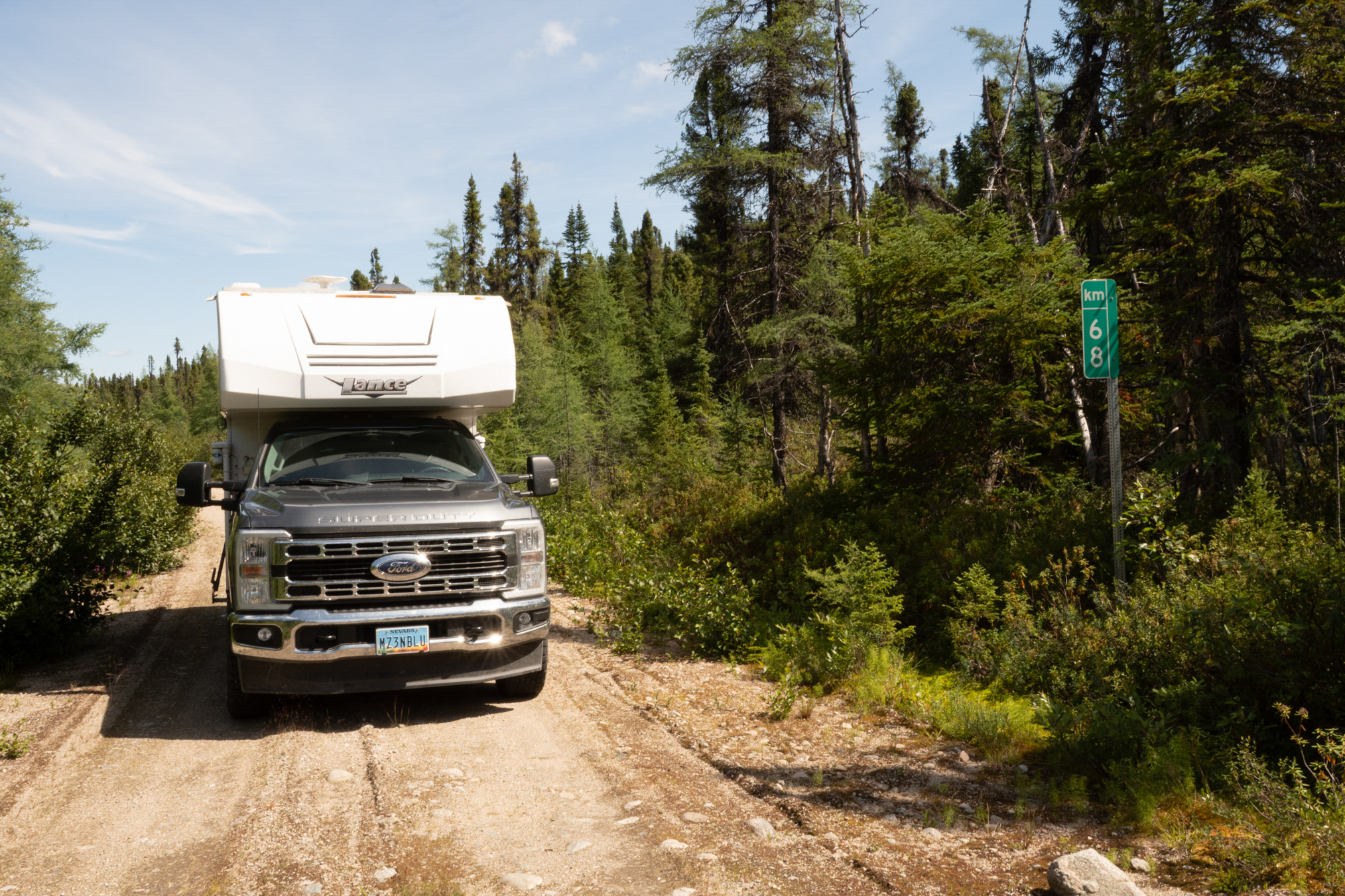
68 km.
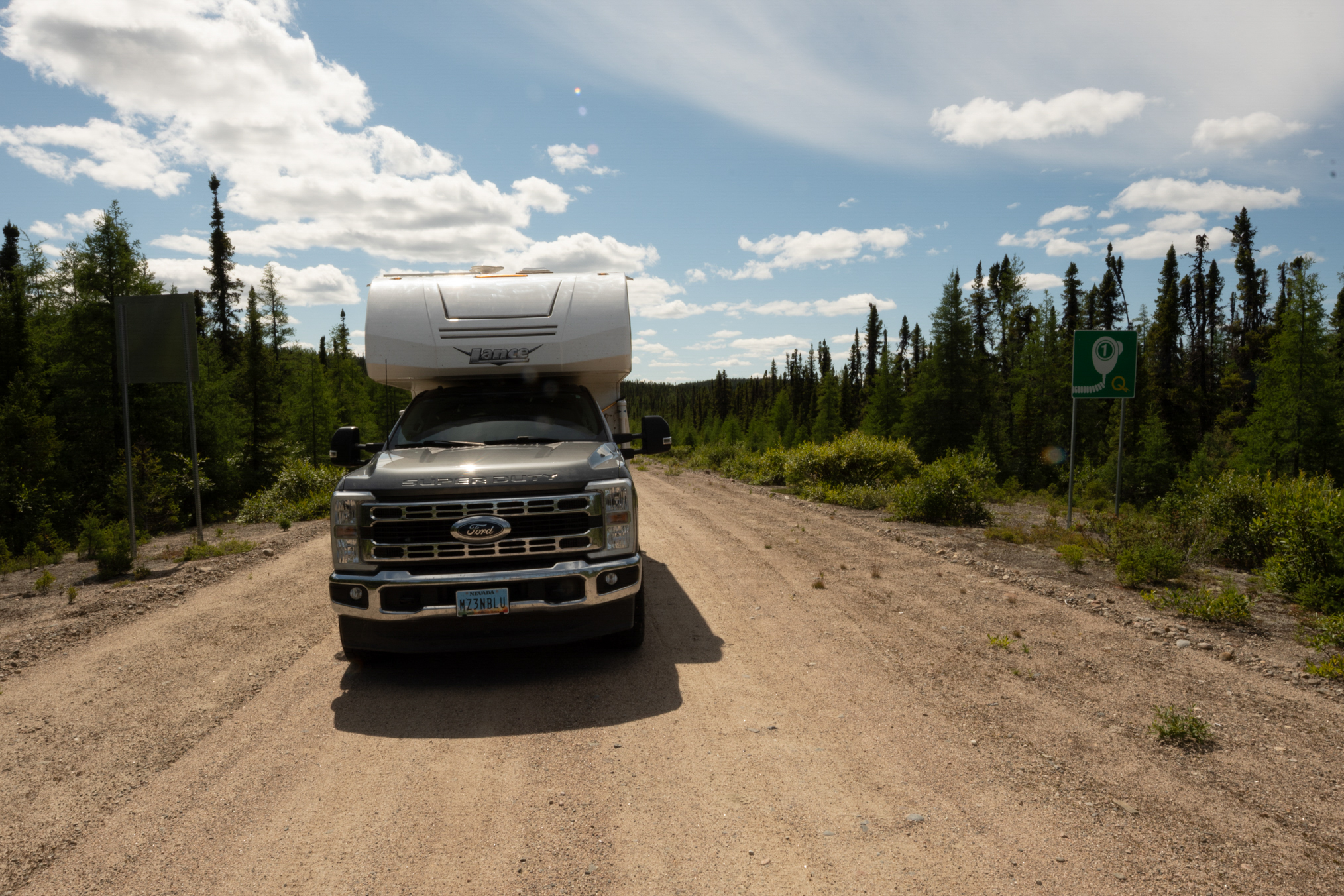
I mentioned the radio stations. These signs indicated points one should switch channels, heading this direction, from channel 1 to 2.
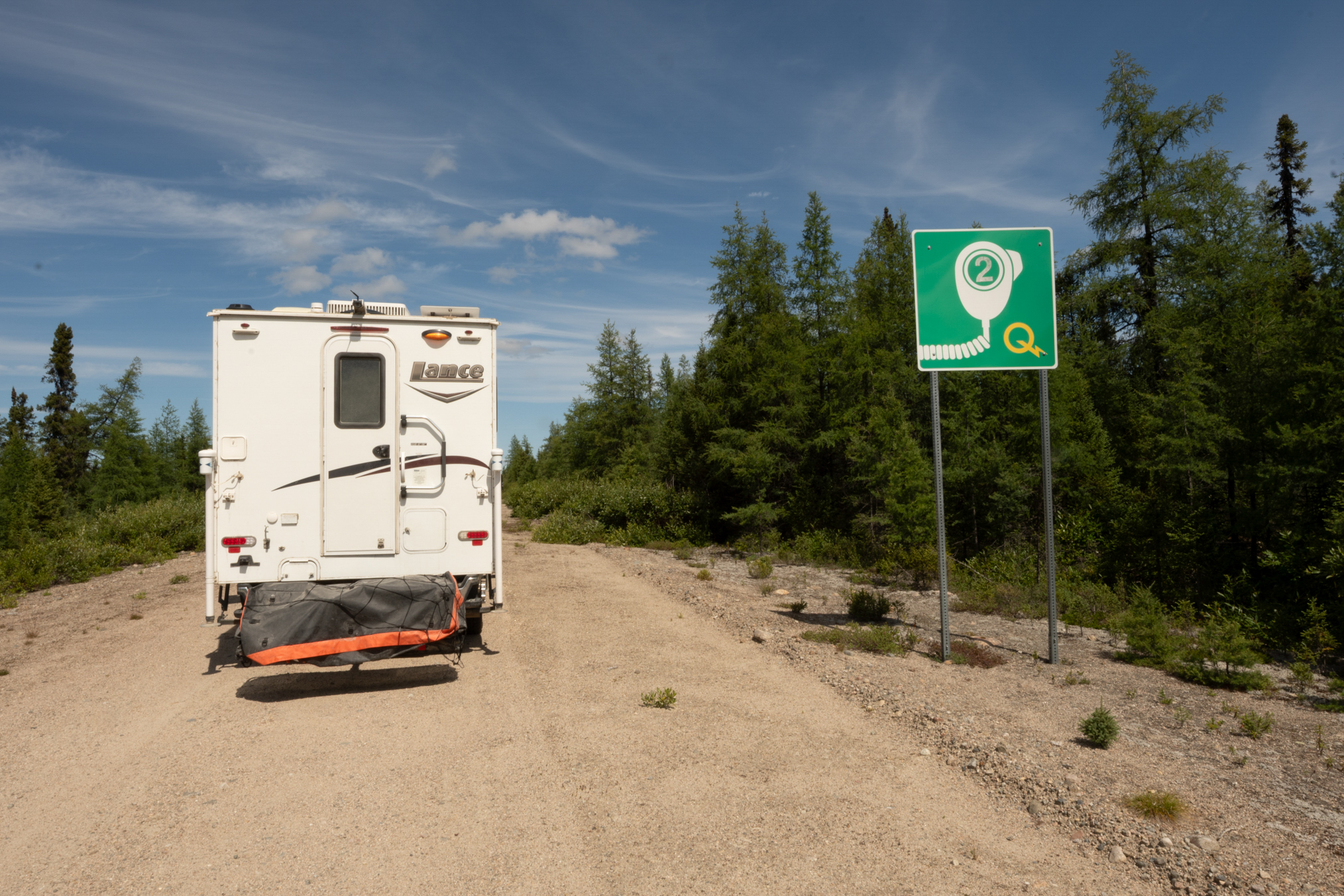
Heading this direction, from channel 2 to 1.
The Legrand radio station, Channel 2.
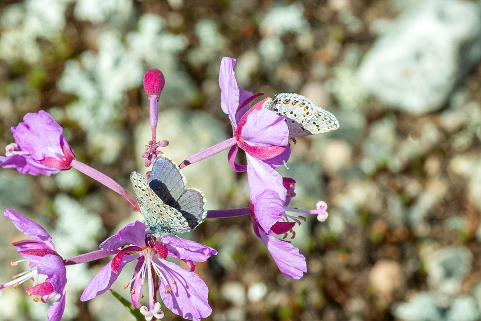
More idas.
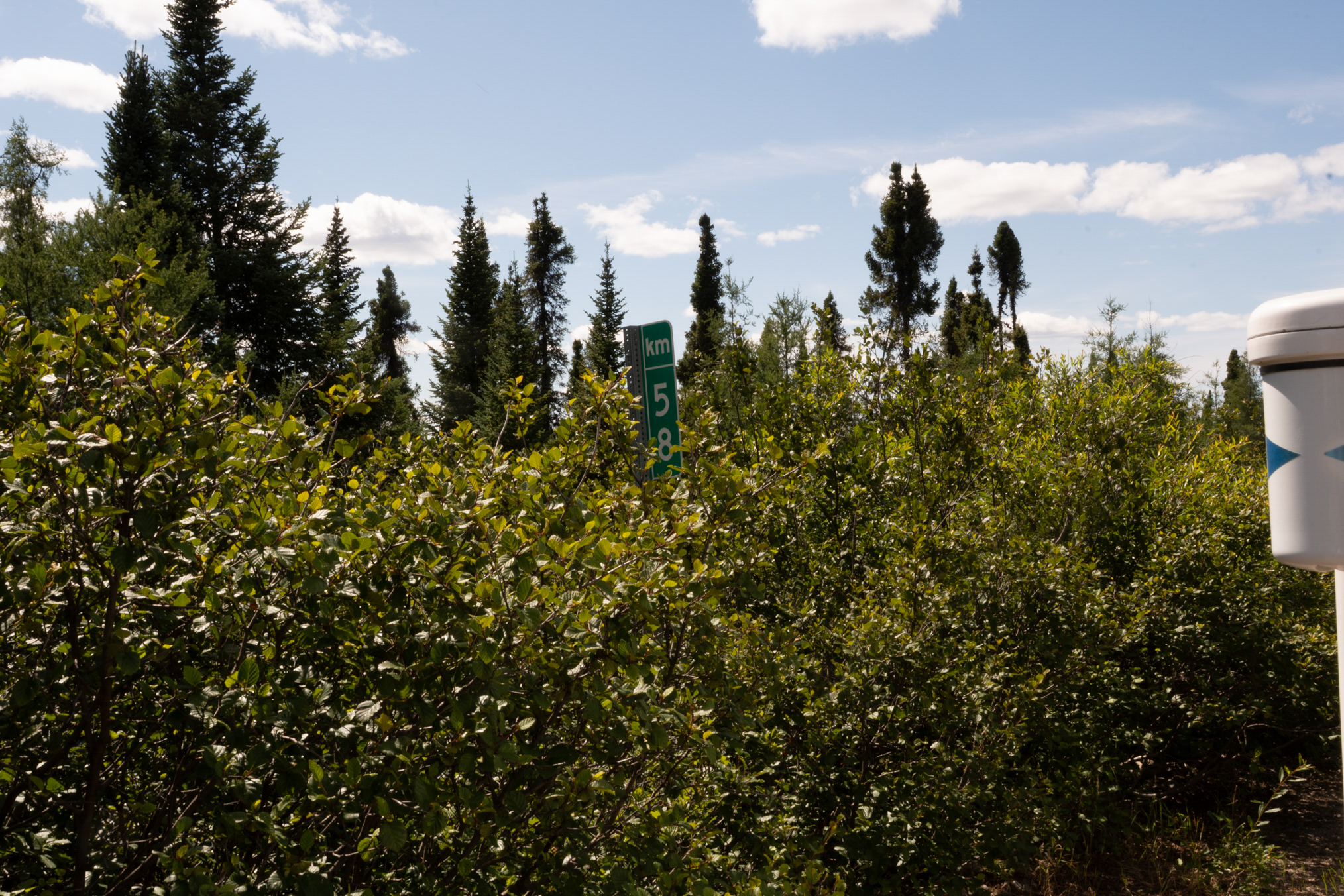
km 58.
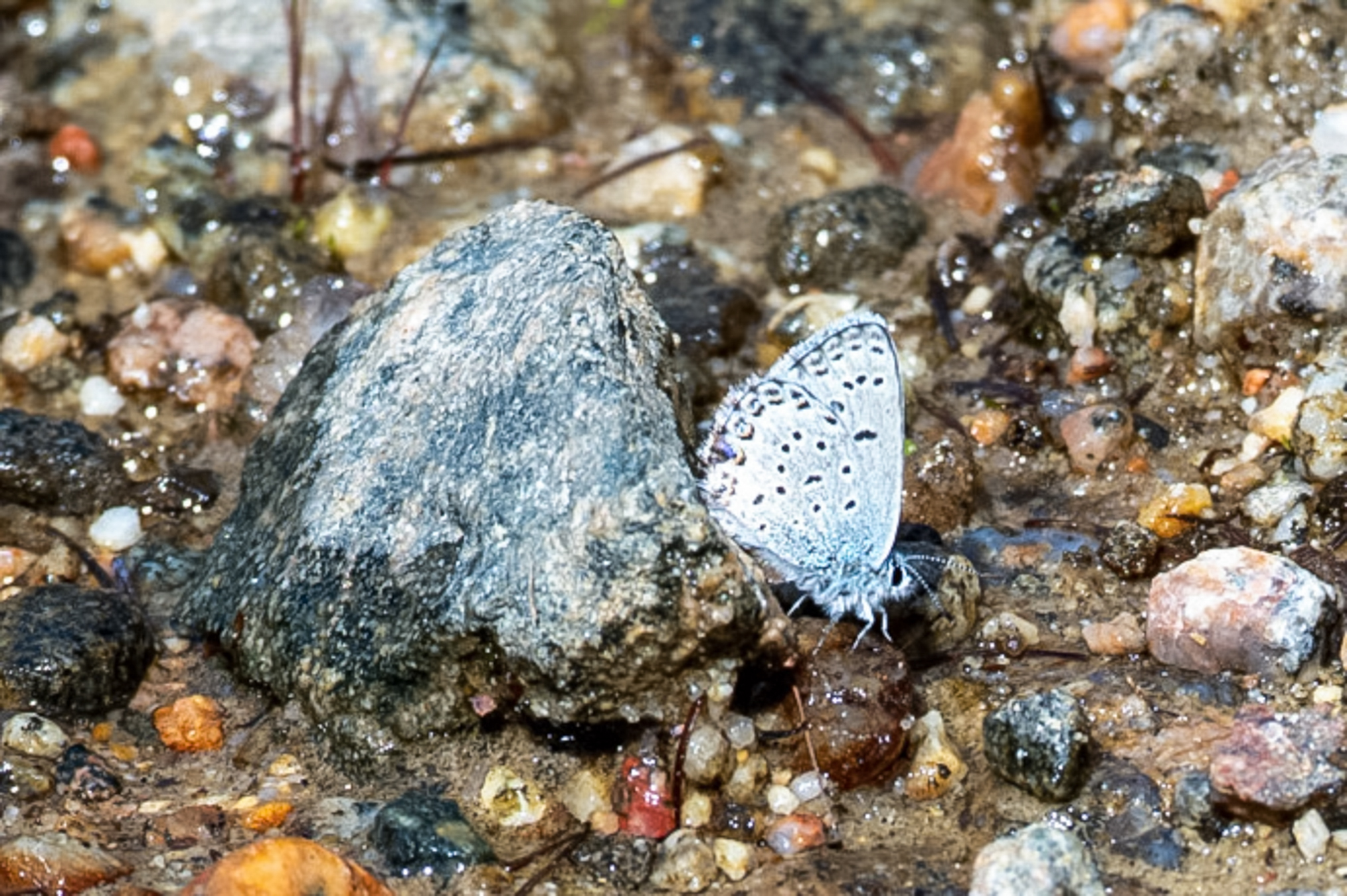
Another idas.
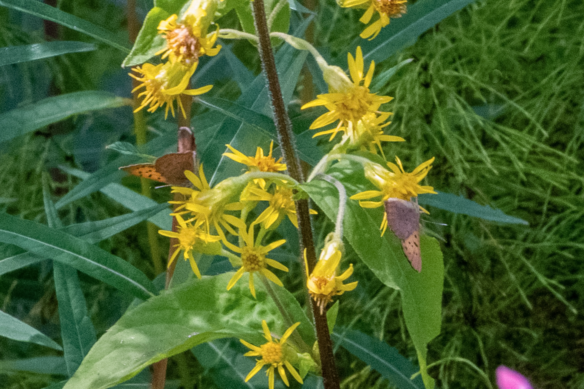
Tharsalea dorcas.
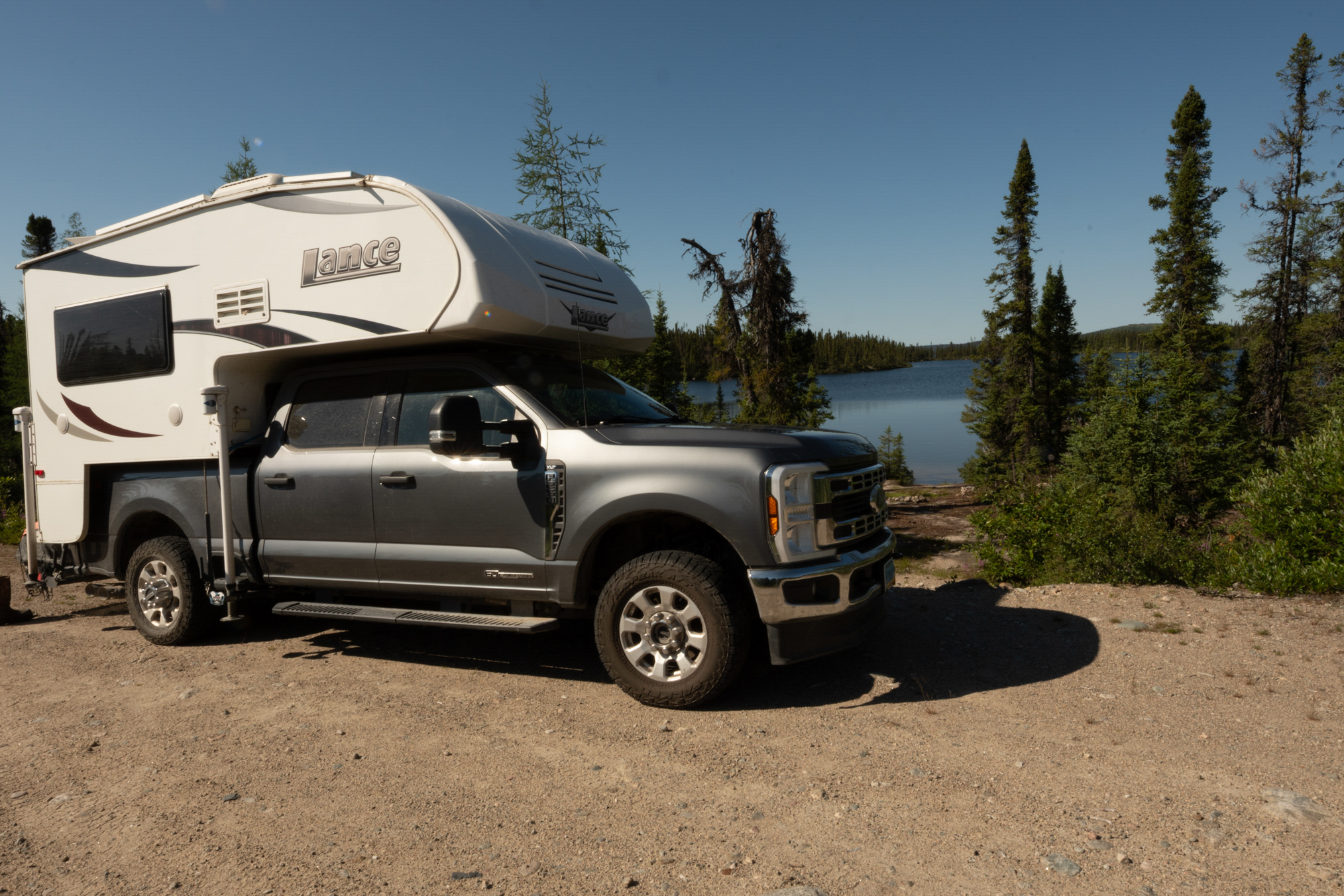
Parked at the entrance to Brook Trout Lake. I would launch the boat and fish here for 1 day. Caught 8 small Brook Trout.
End of Part B, click here for Part C.