
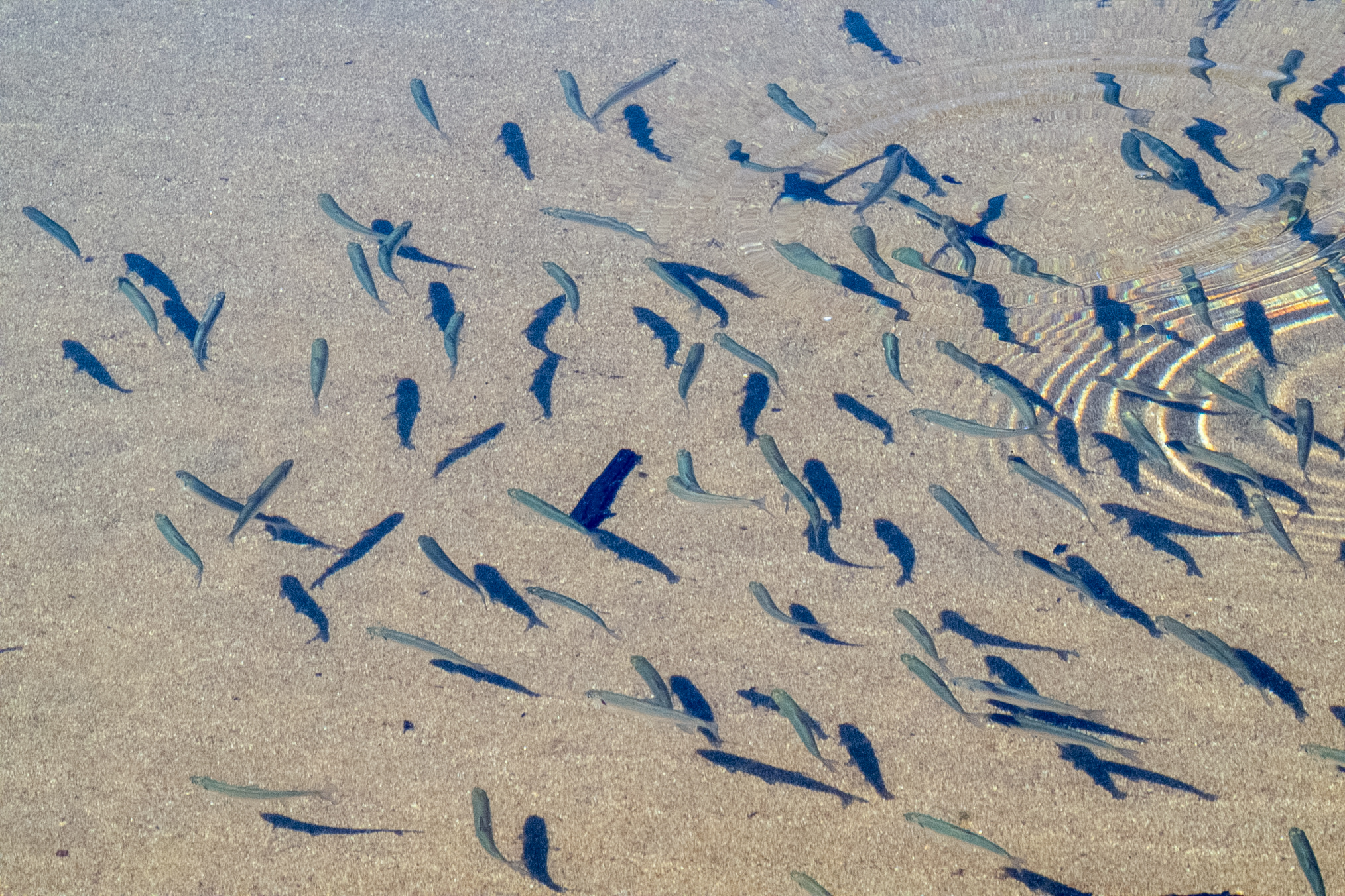
The morning of July 30, I observed a school of small fish, probably Cisco, in the shallows right near the access to Brook Trout Lake.
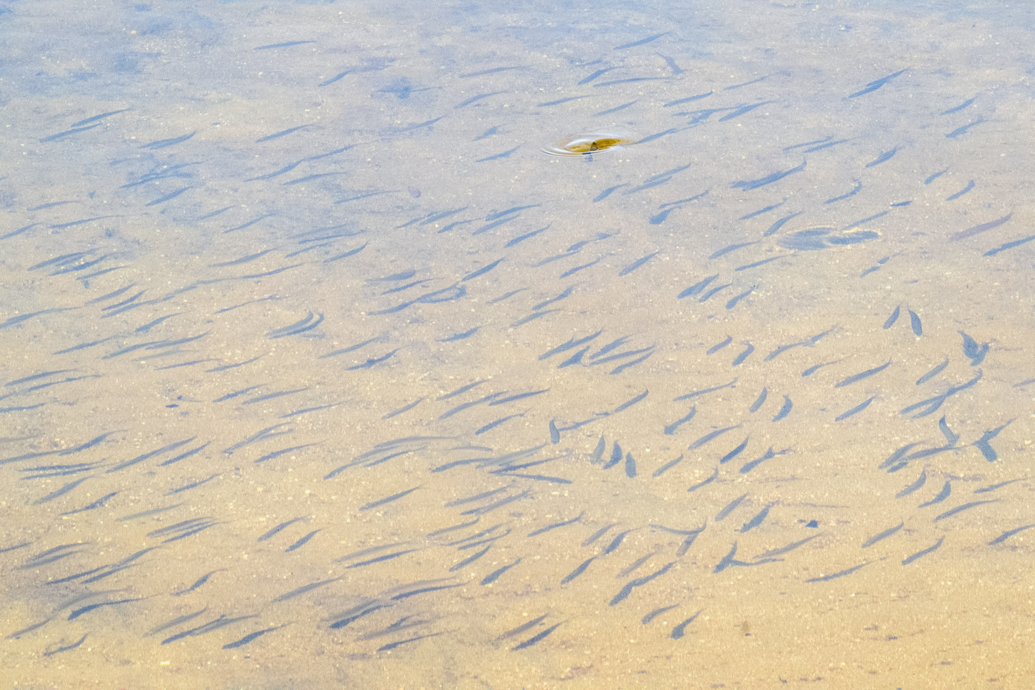
Another photo.
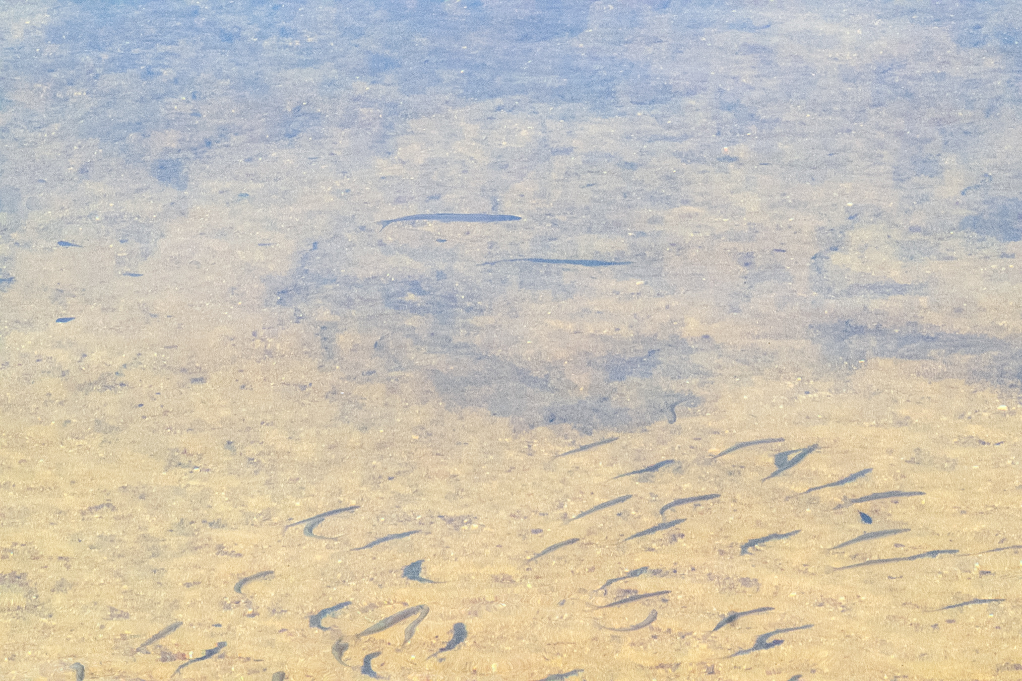
Yet another.
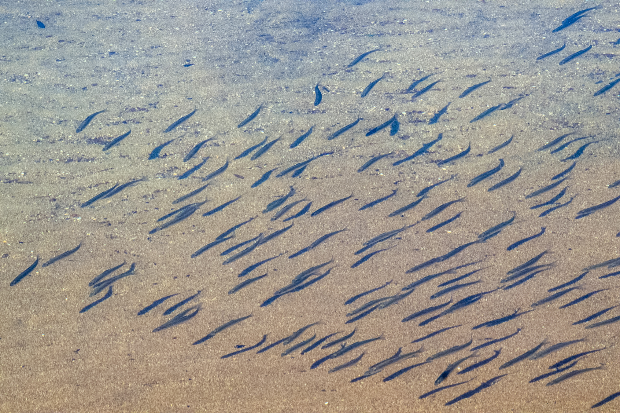
Another photo.
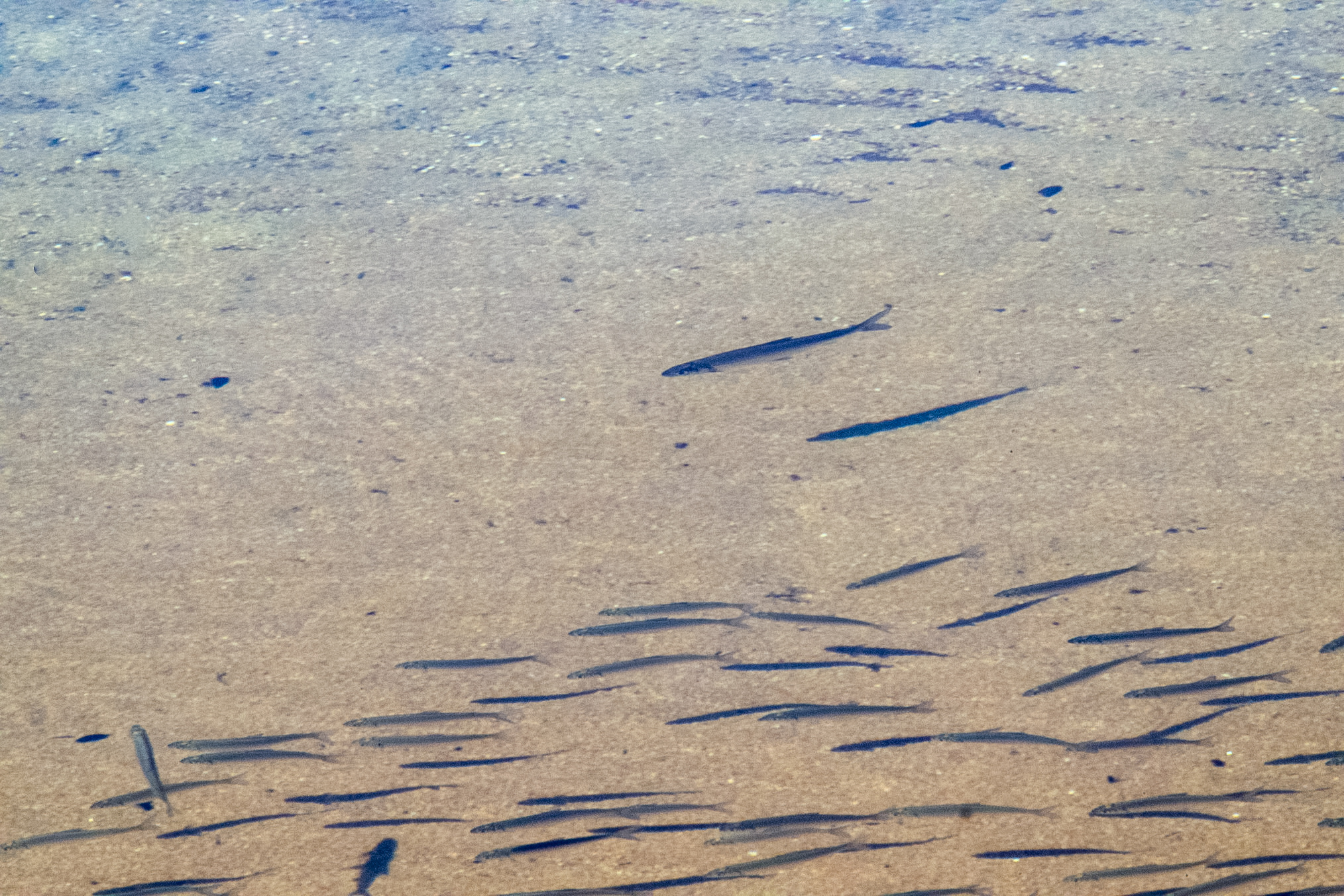
Another.
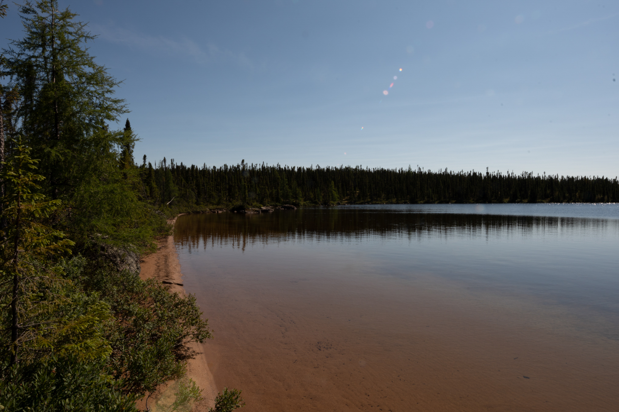
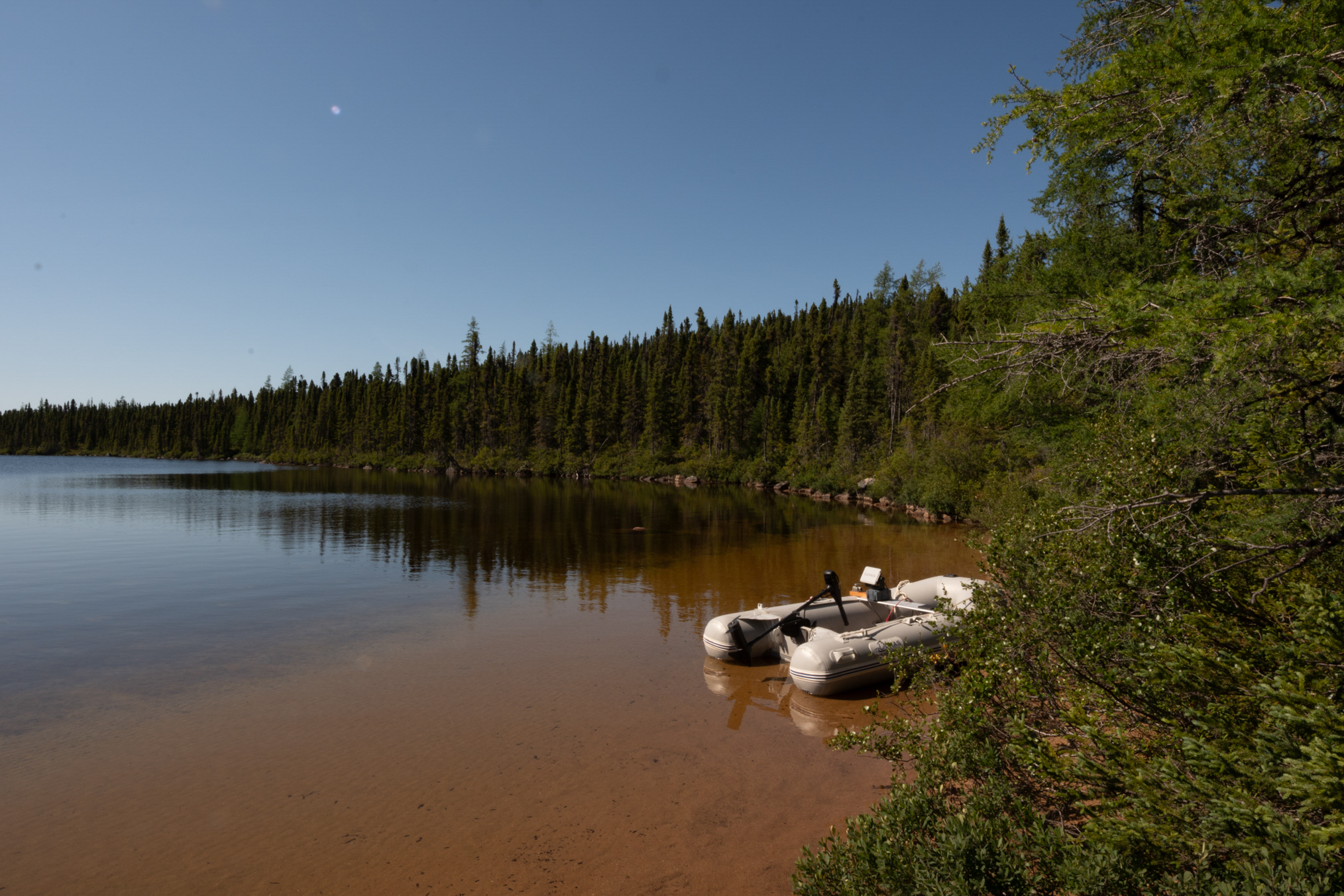
This is looking to the left along the beach of Brook Trout Lake just near the access point. At the far left of the photo is a little point where last year I had really good luck fishing for brook trout, but no luck this year.
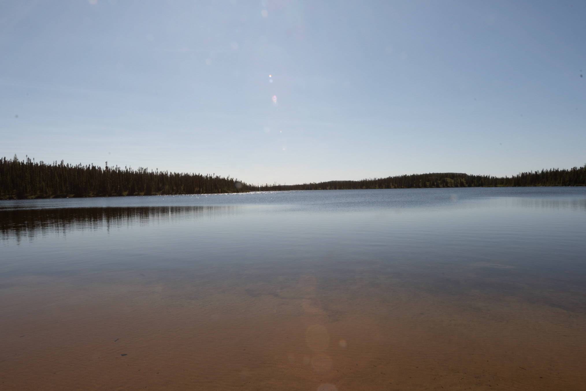
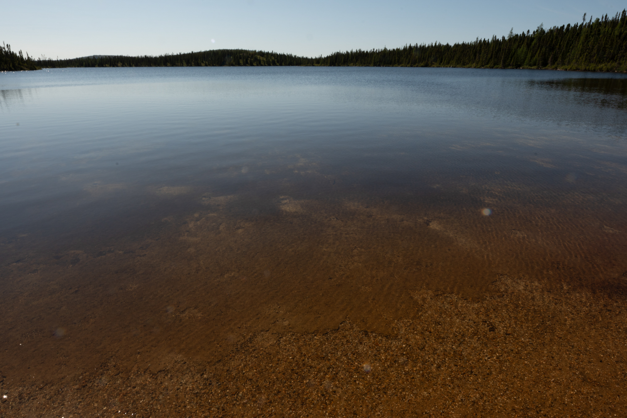
This photo is looking straight out toward the center of this little Bay.
And this photo is just to the right of the center and shows the back of my boat.
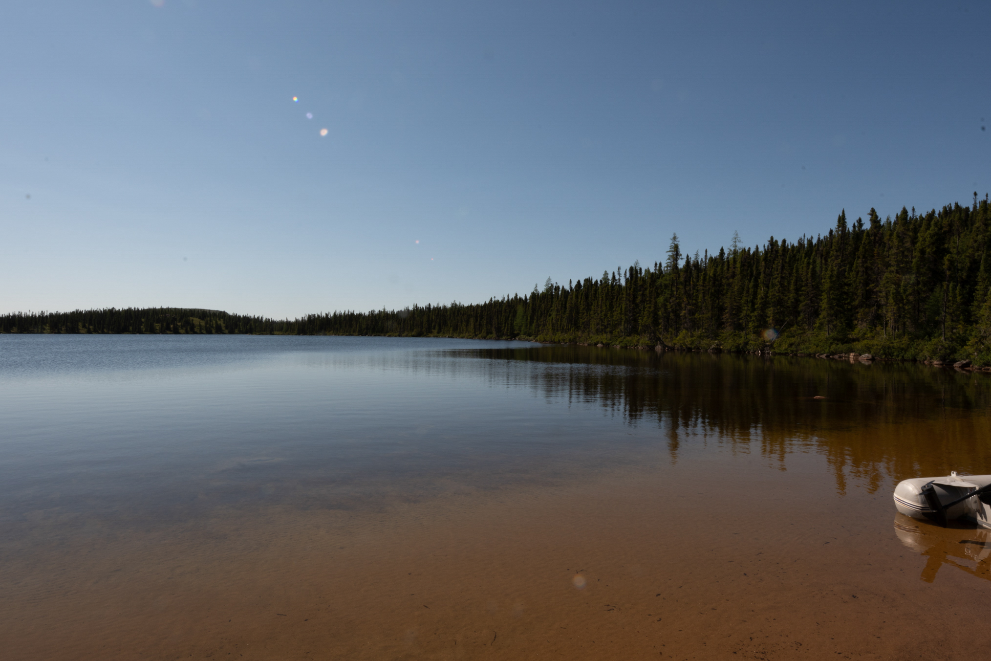
This photo shows the boat and you can really see the sandy little beach. That's why I like the spot so much, it's good for taking bird baths at the end of the day.
This shot a little over to the left from the access point shows moose foot prints, probably a week or two old.
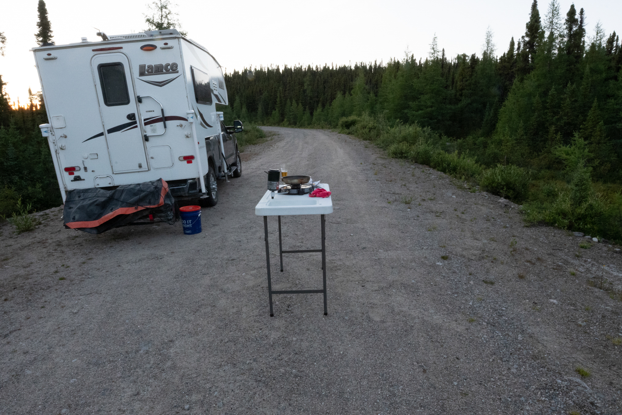
This is my cooking set up. I would just set the table in the middle of the road on a level surface and cook my brook trout at the end of the day.
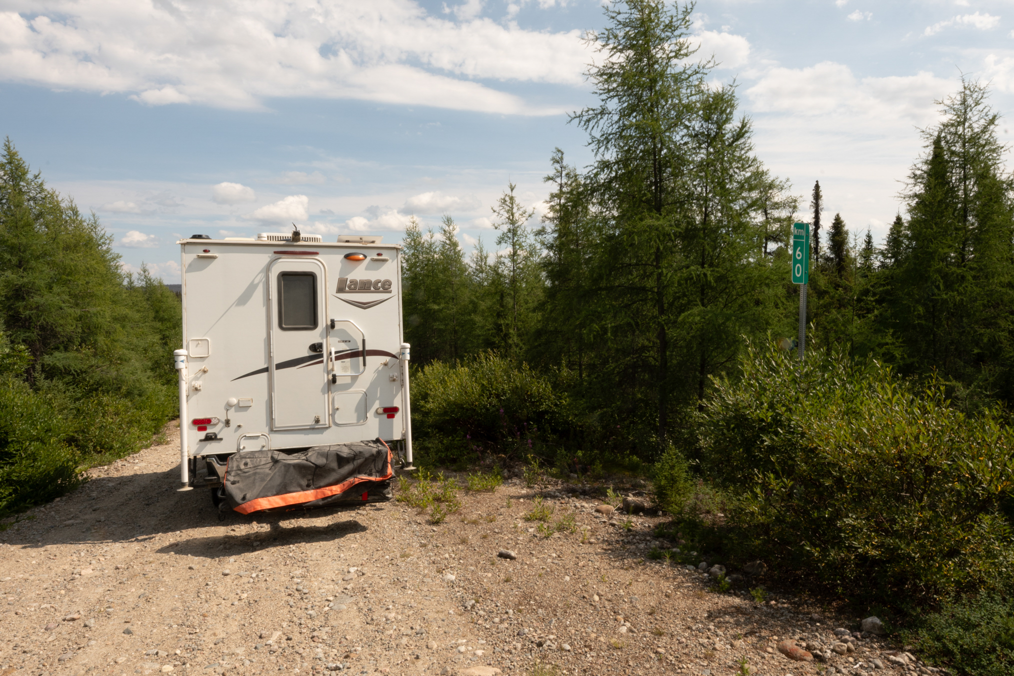
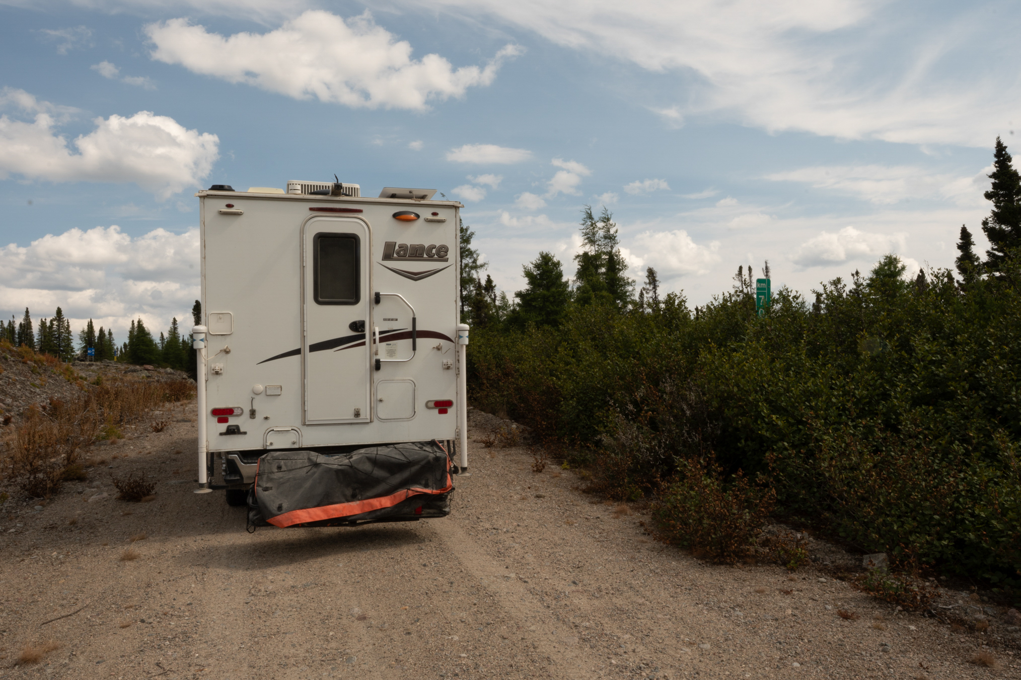
km 60.
70 km.
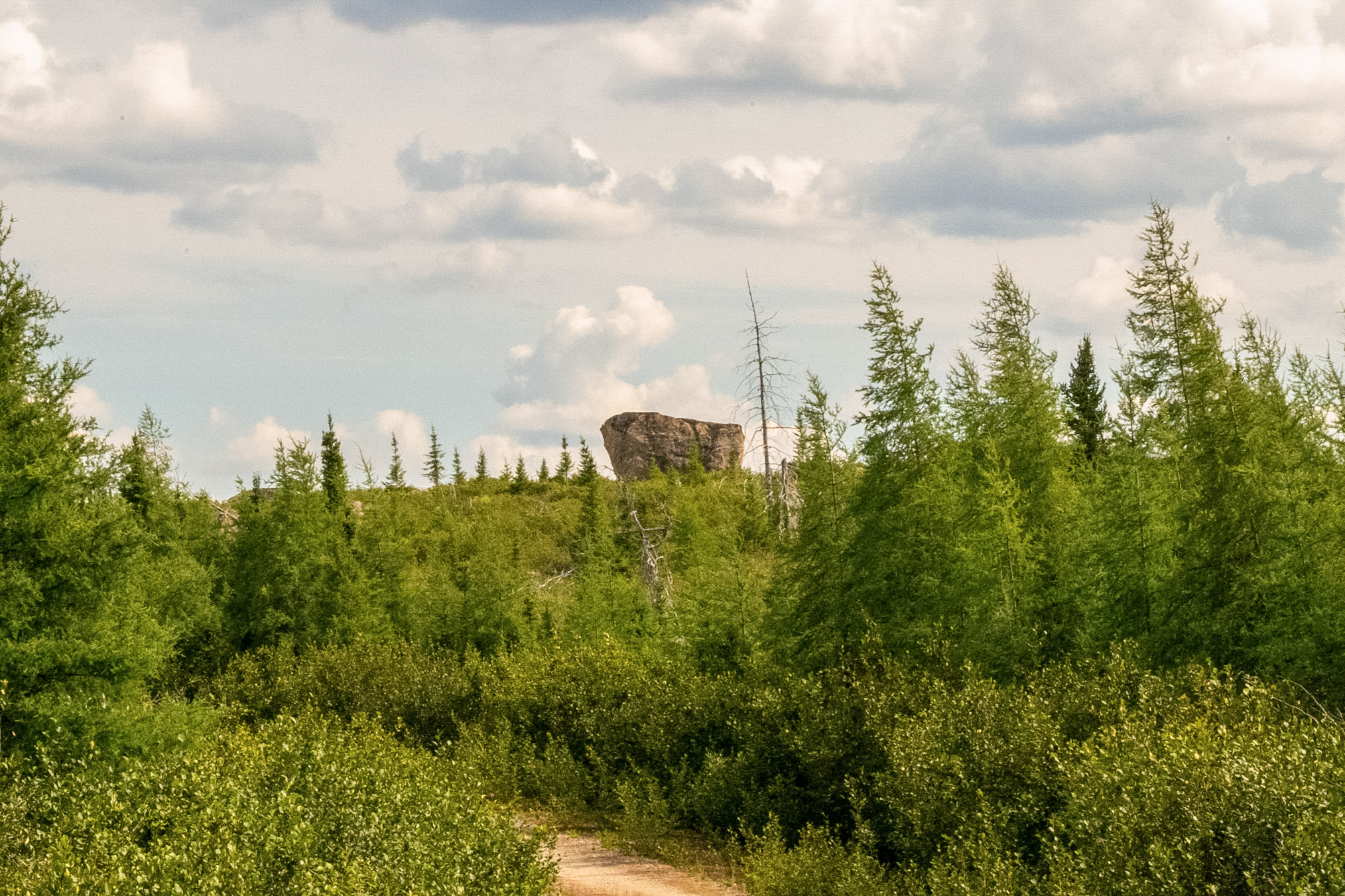
Another of those large rocks decorating the landscape.
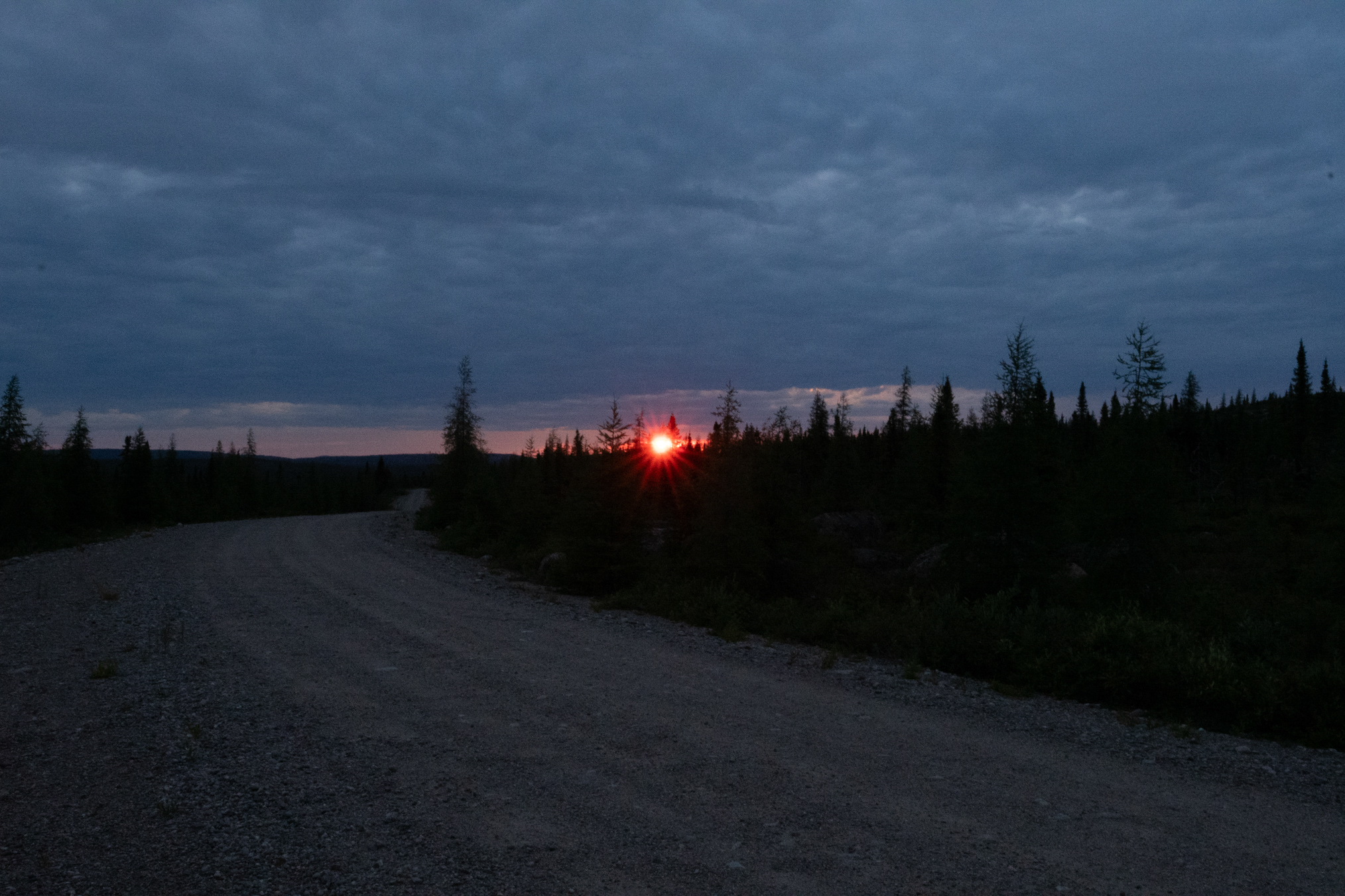
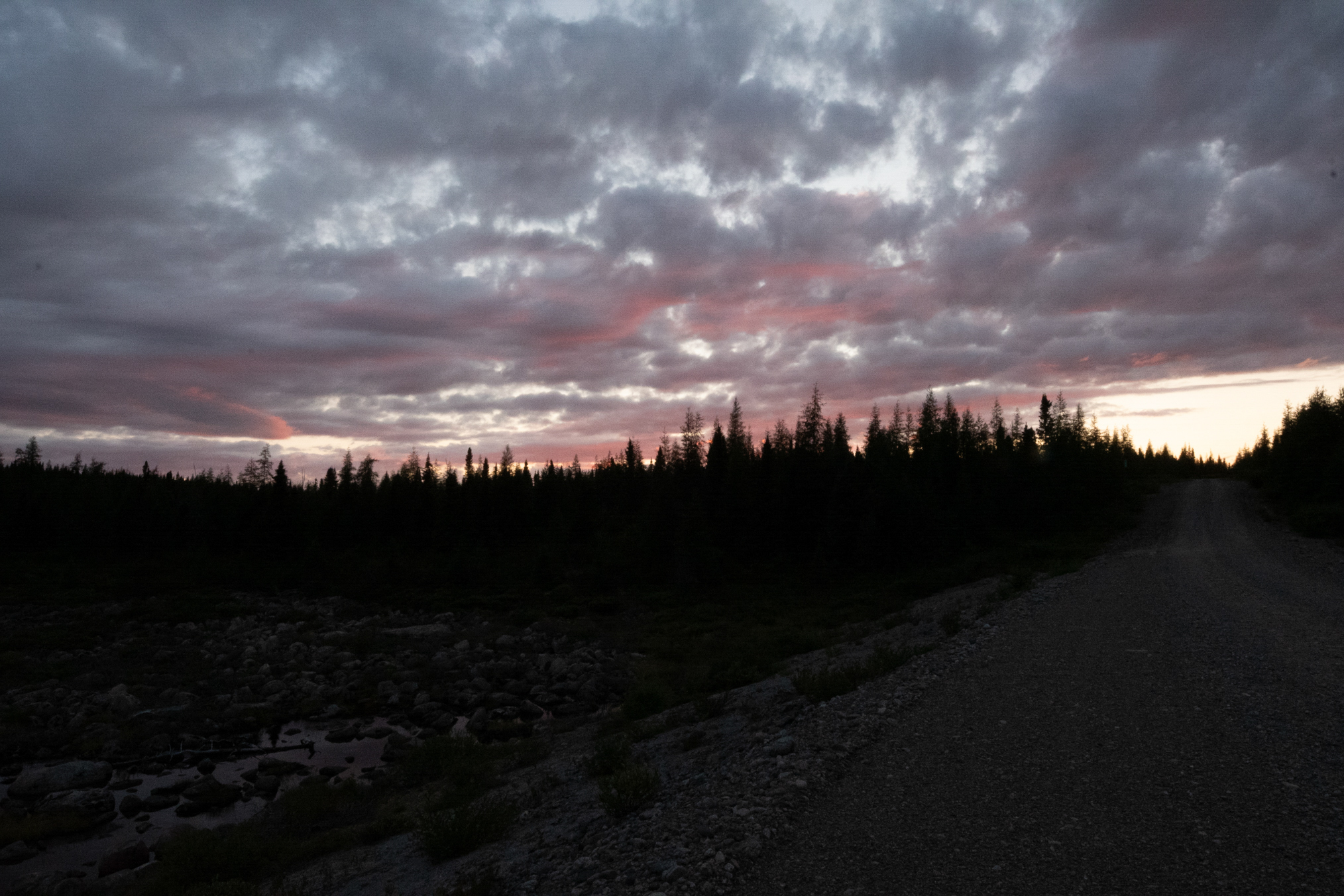
Sunset on July 31st.
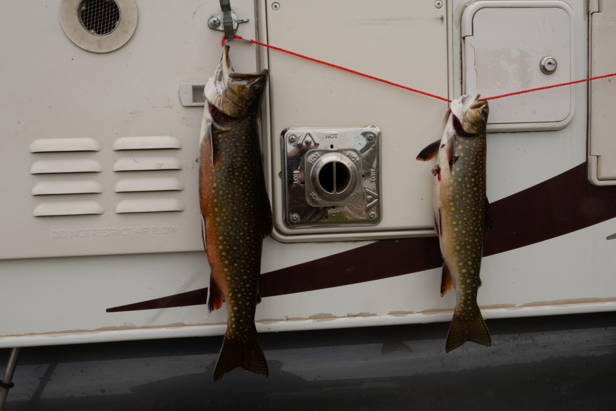
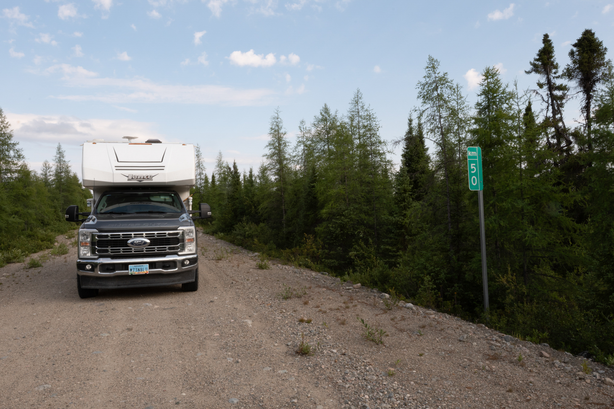
On August 1st, I drove north and fished at the north culvert. It's a little smaller and doesn't hold as many fish but I still took a nice one and a fairly nice one. Just near the 50 km mark.
50 km.
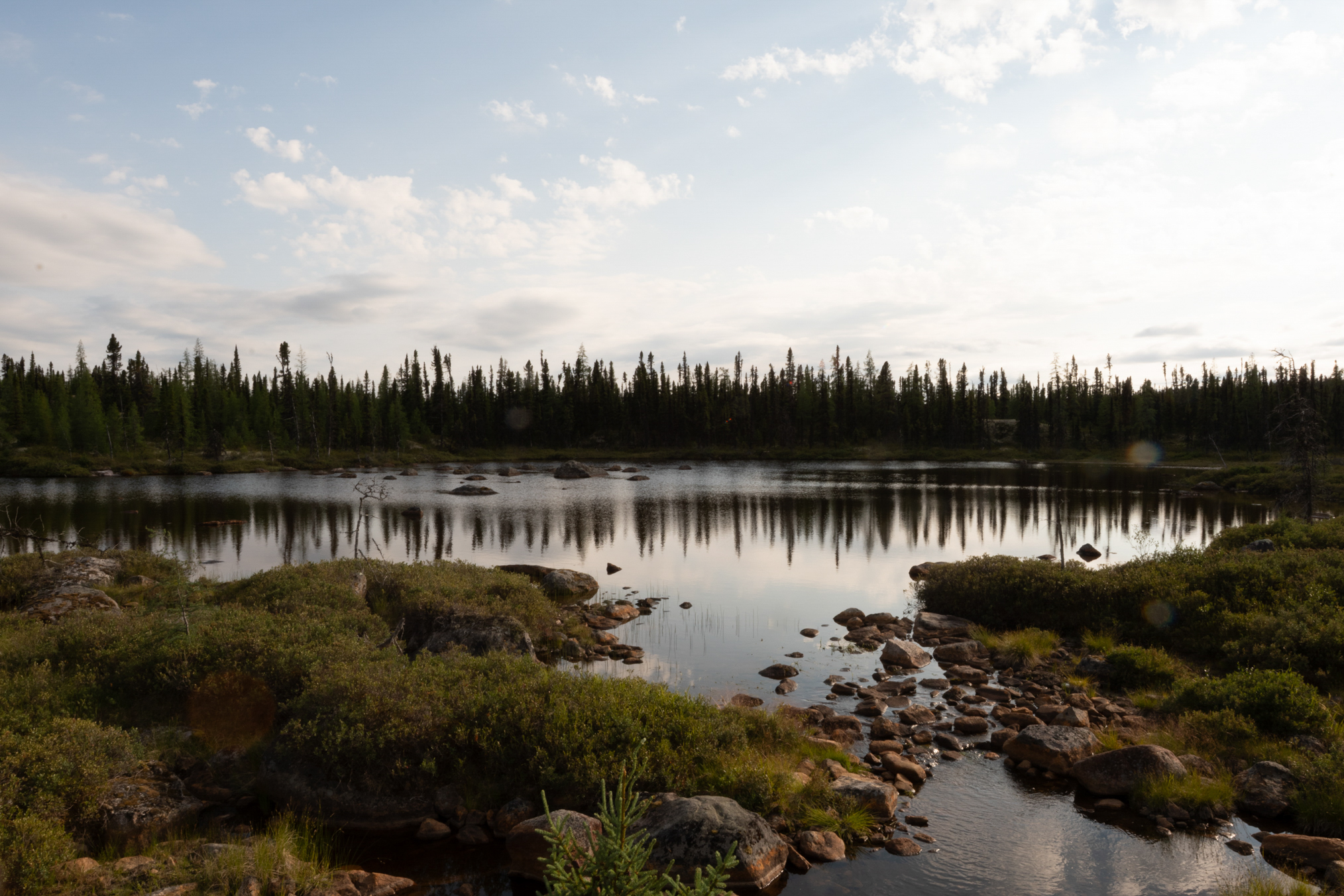
More scenery.
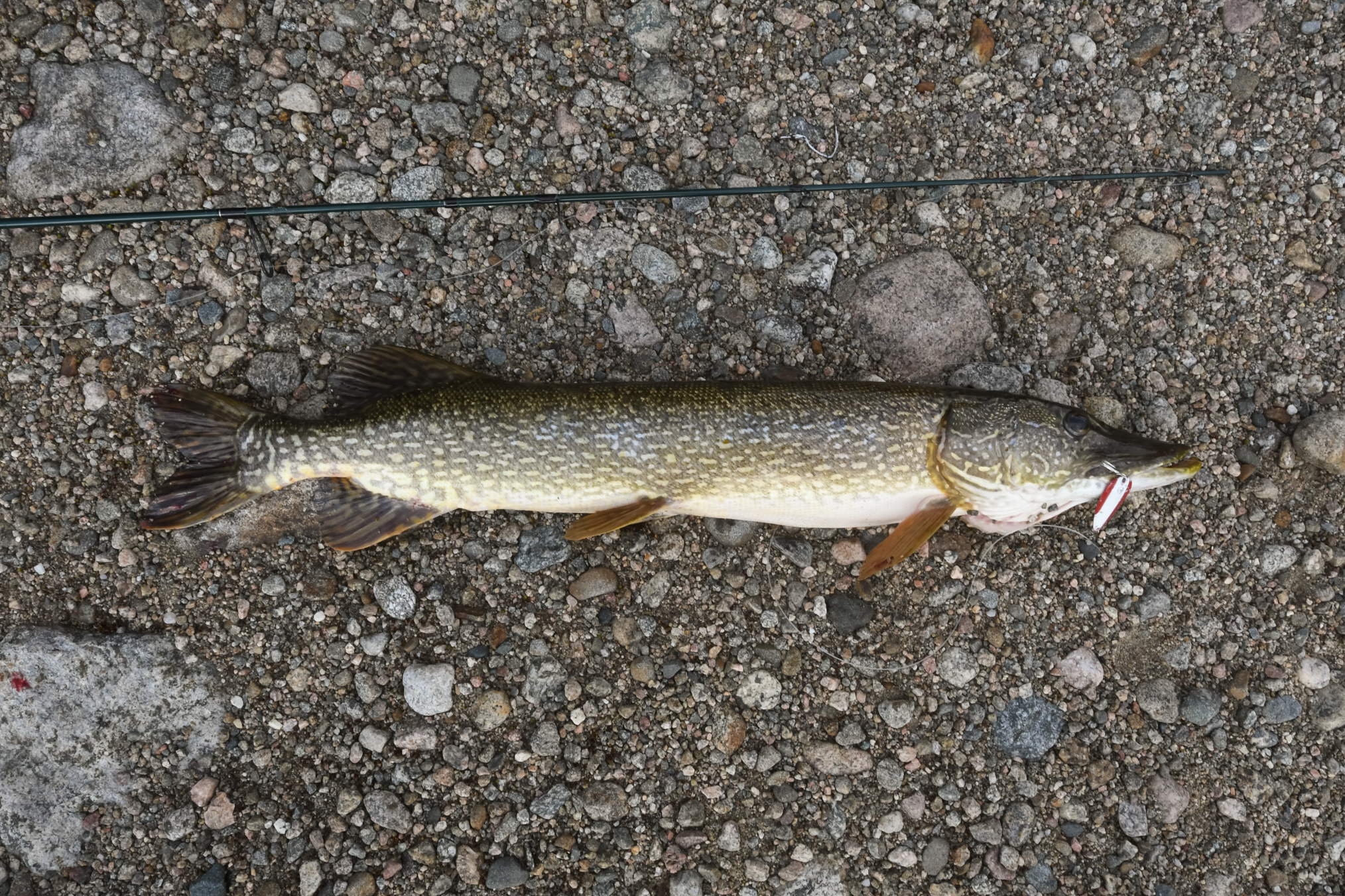
Just a little north of 50 kilometers, I was fishing for brook trout in a little spillway with a small Mepps spinner on a 20 lb test leader and I hooked this northern. I did manage to land it, and get it up on the shore, but it was on a slope of about 45° and when the fish flipped it got into the water and since I did not have much line out it quickly broke the line - it was only 6 LB test. I was mad that I lost not only the fish but my lure so I went back and switched poles to one with 20 lb test, put a daredevil on, and on the third cast I hooked the same fish. This time when I got it up on shore I used a large rock to calm the fish down. I'd learn my lesson about how to land them on a sloped shore. And the fish still had my Mepps, it was throat hooked and it was very odd that it still wanted to eat more even though I had just hooked it in the throat. This has happened about three other times in the past with northern. Always nice to recover my lure.
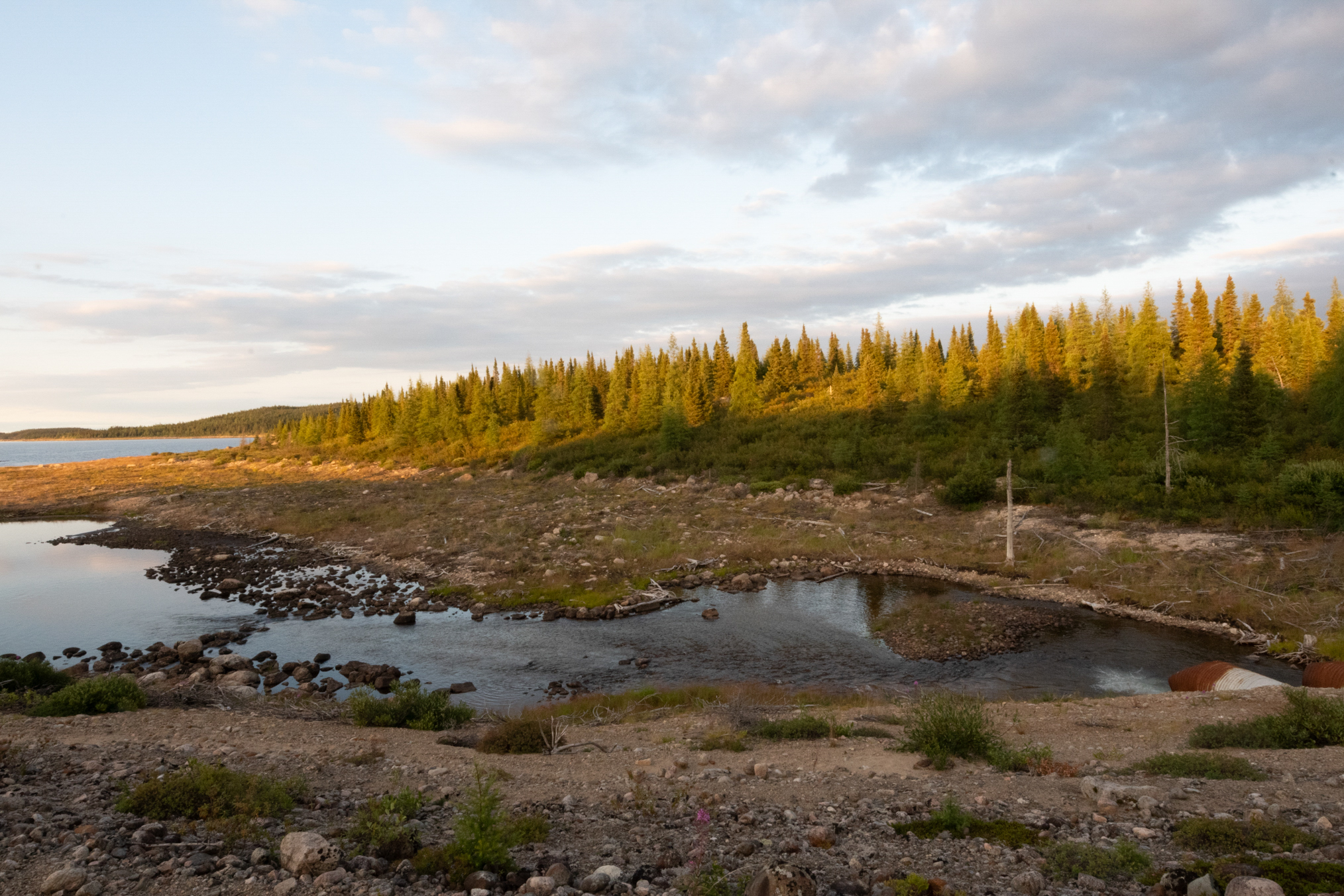
And this shows the larger pool right after the rocks where the big northern was sitting. Incidentally, that 33 inch northern is the second biggest northern I'd taken in this area. Dawned on me as I wrote this that I should have fished the reservoir where this creek entered, the northern were probably feeding here.
And here's an expanded view of the large pool where the northern was sitting.
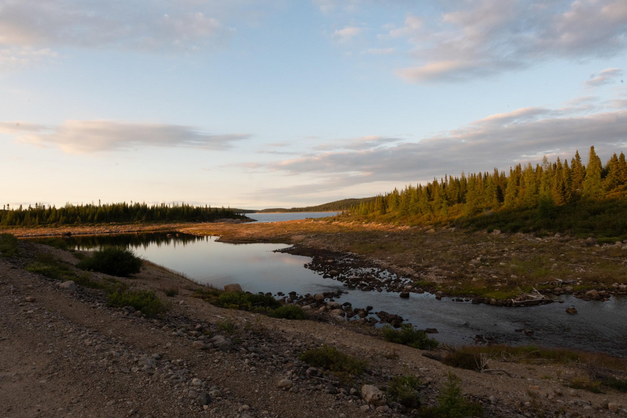
Another view.
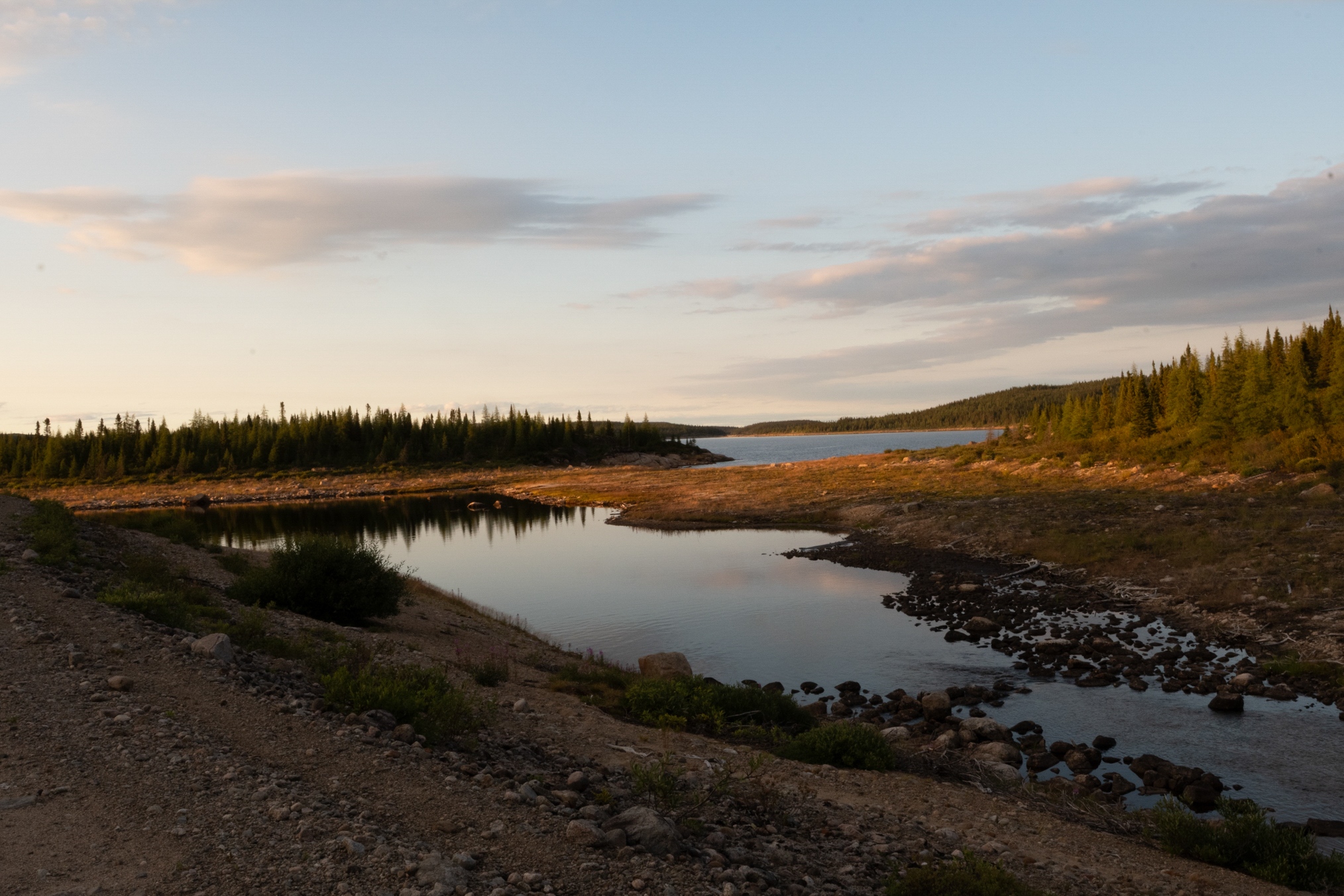
Nice sunset that evening.
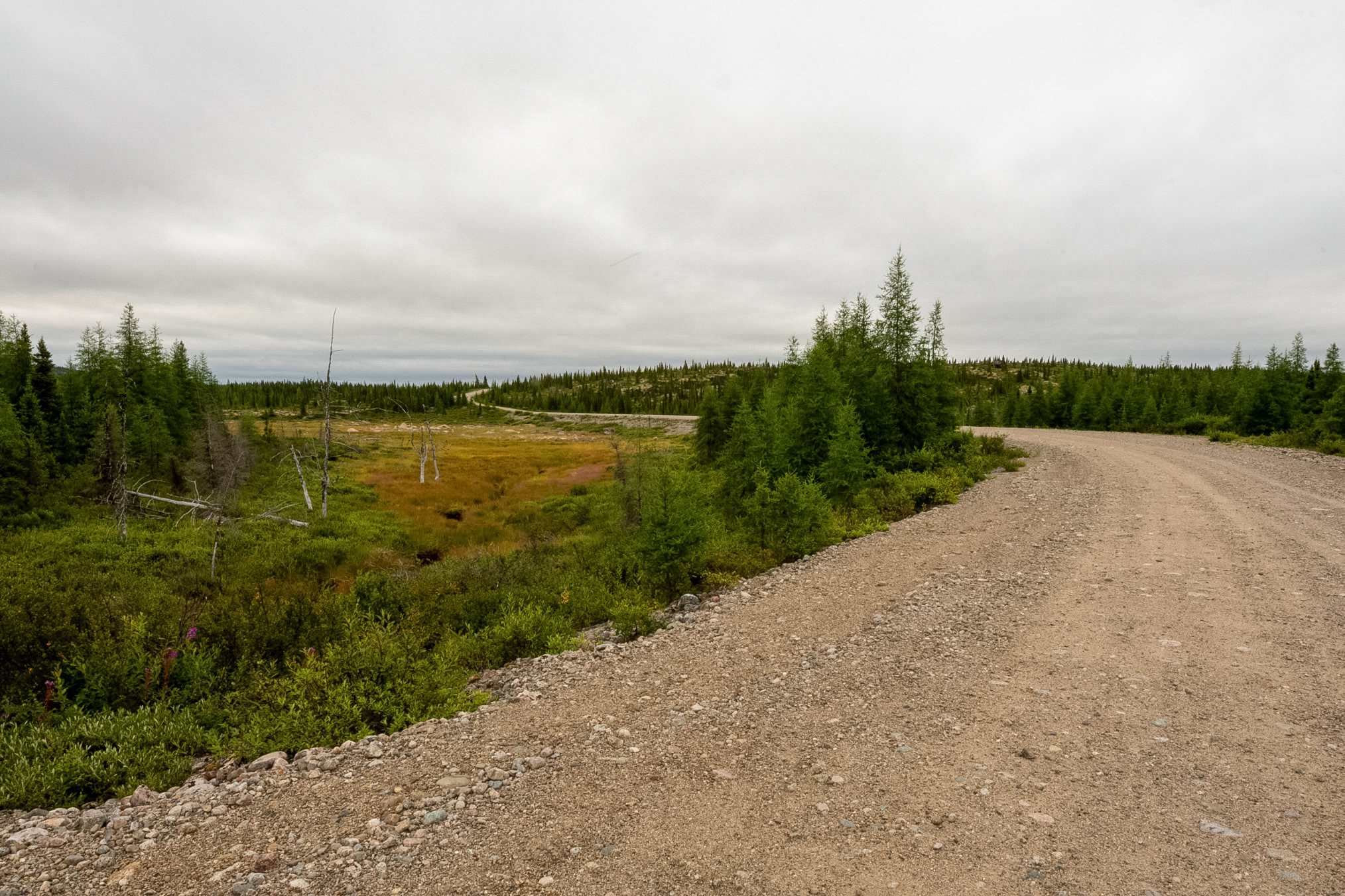
And this shows the road just to the north of the culvert.
Along the shoreline of the Caniapiscau Reservoir, I found a traditional Cree fish and meat drying rack standing in an empty wilderness campsite. These structural wooden frames are crafted by local Eeyou Istchee hunters and fishers to preserve caribou meat, whitefish, and lake trout. By hanging the thin food strips across the top poles over a slow-burning smudge fire, they smoke-cure their harvest to protect it from insects and preserve it for the long seasonal journeys ahead.
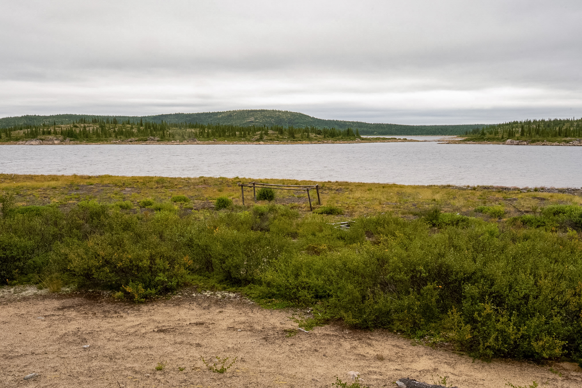
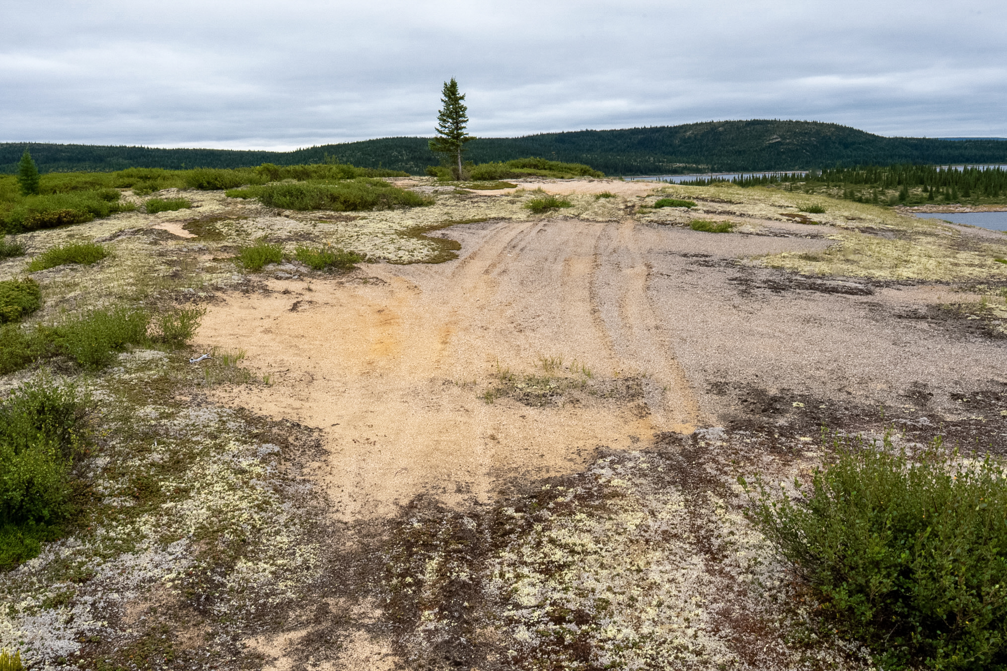
I took several photos as this area was interesting.
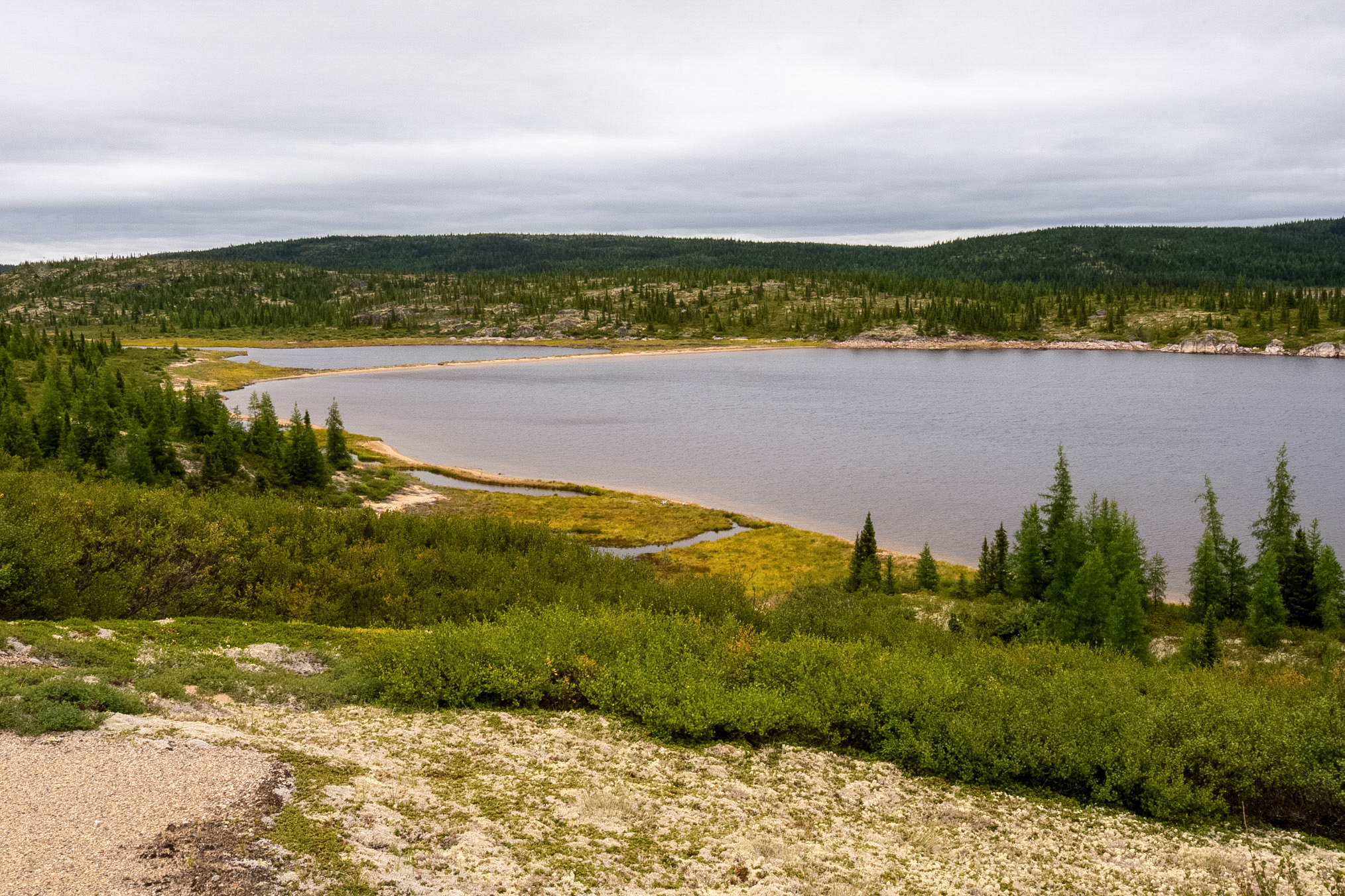
This shows a little lake or maybe a little bay that's offset from another little lake or little bay by a sandy bar.
This is looking down just to the south of that last photo.
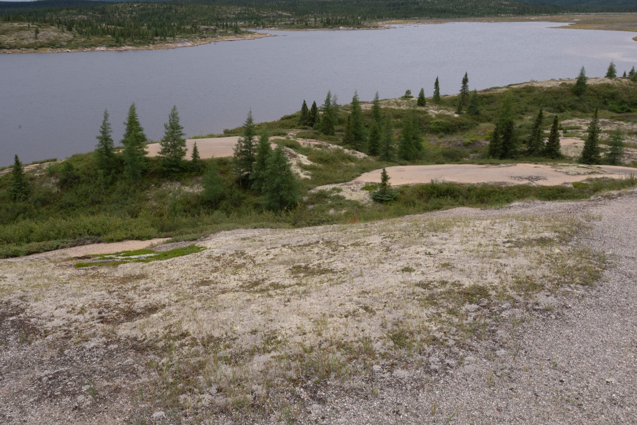
And this is a little bit to the right of that previous photo shows a little pocket lake.
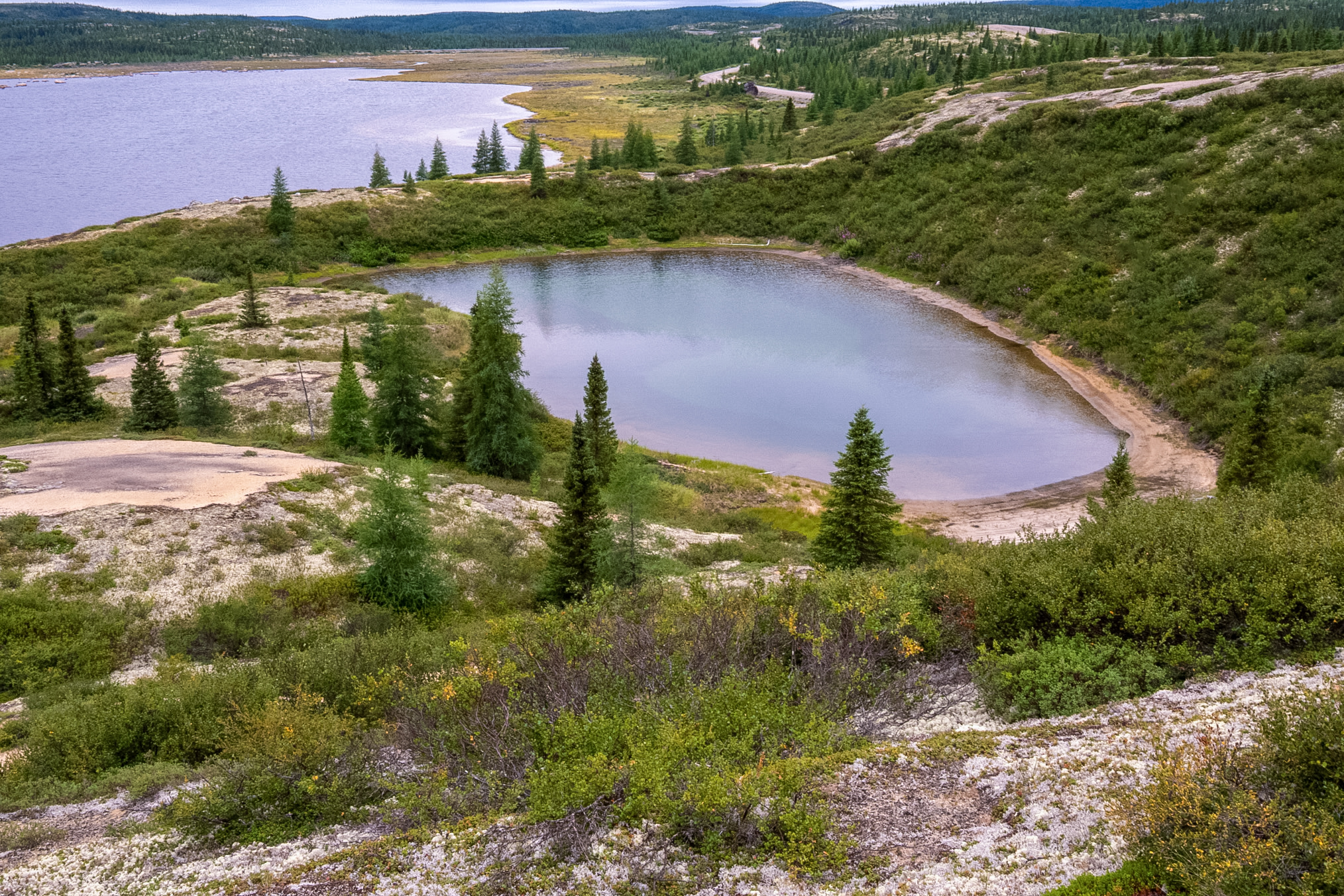
A narrow, curving sandspit creates a natural barrier beach, nearly dividing this subarctic lake in two. Scattered black spruce trees and low shrub taiga cover the foreground under an overcast sky.
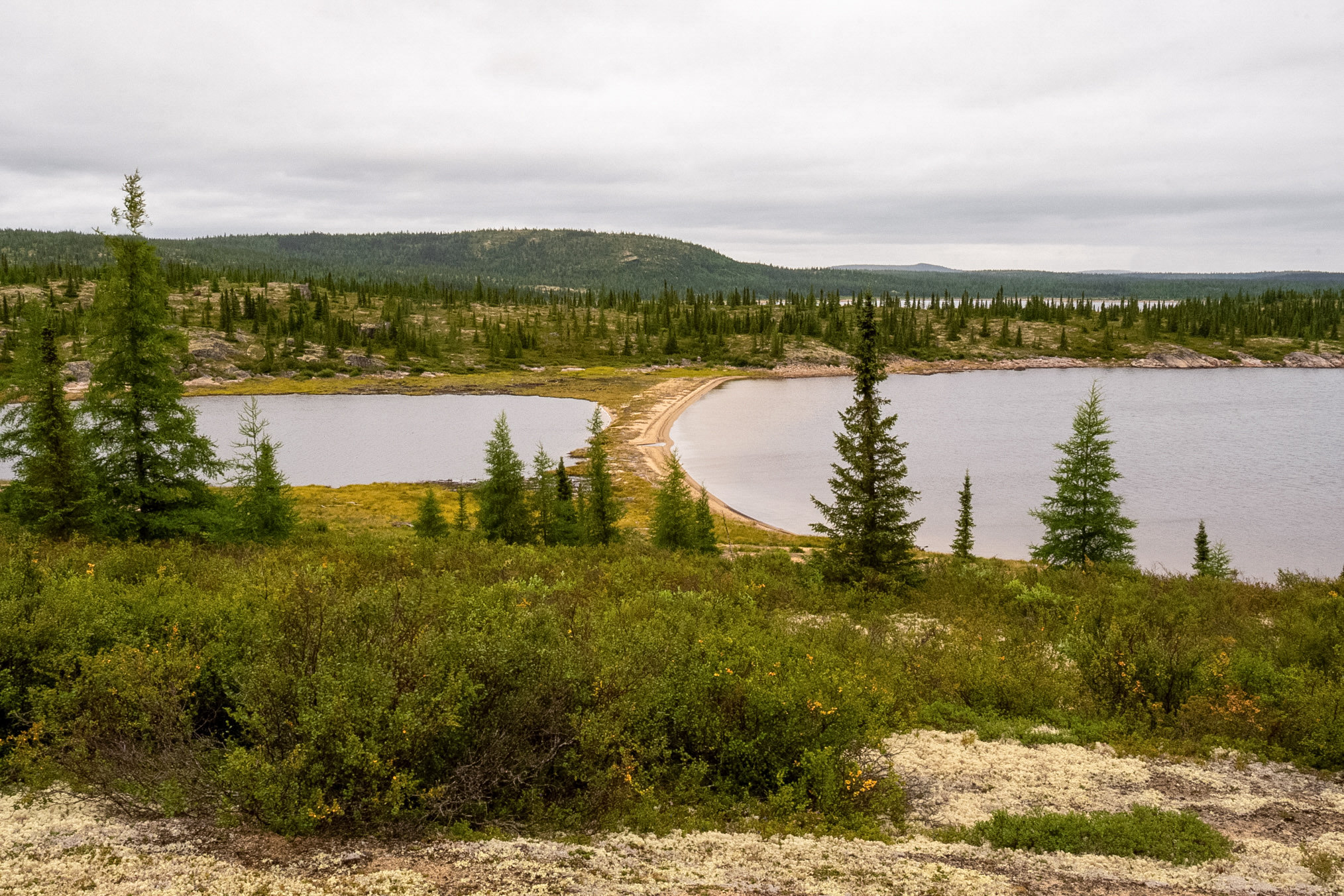
And this shows how the water is trying to break through but doesn't quite make it.
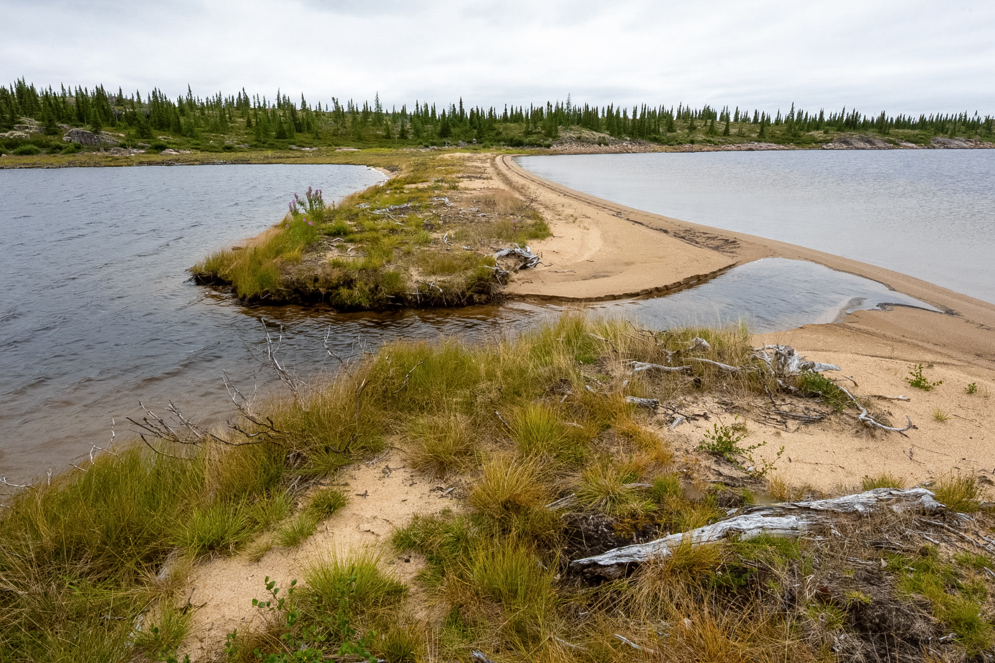
This probably forms a continuous stream of water early in the spring when there's more water in these bodies of water.
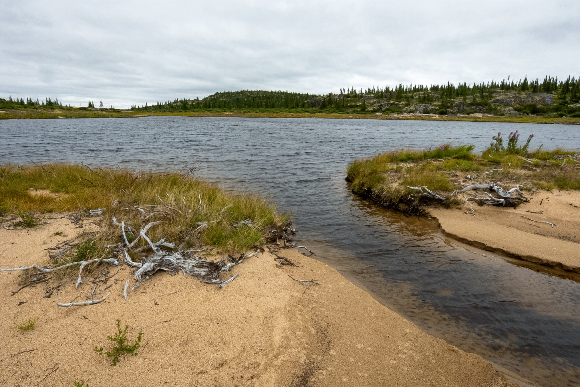
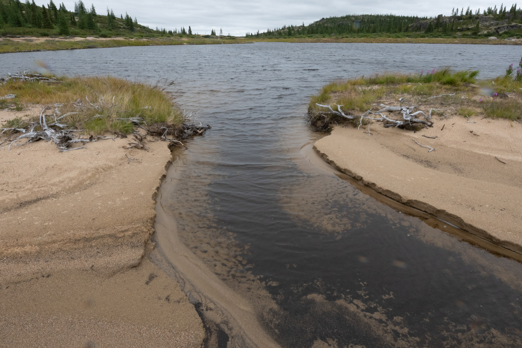
Another shot of the exit from the body of water on the left.
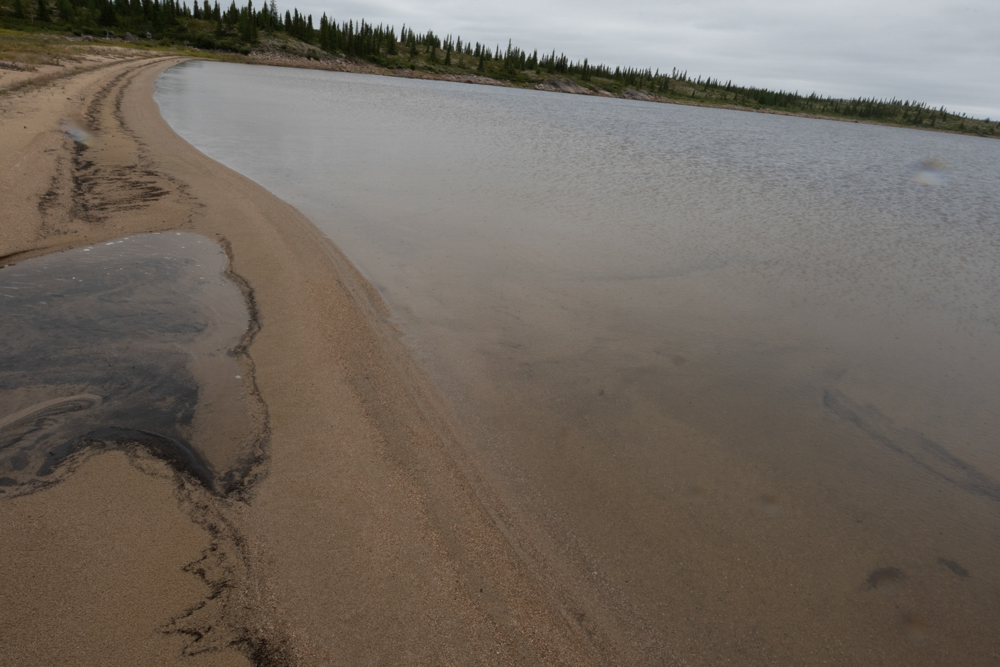
And one more of the exit from the body of water on the left.
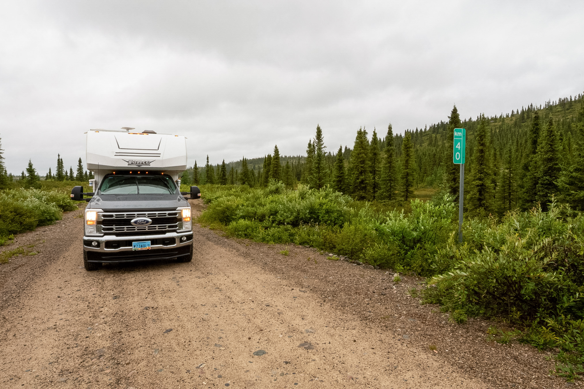
40 km.
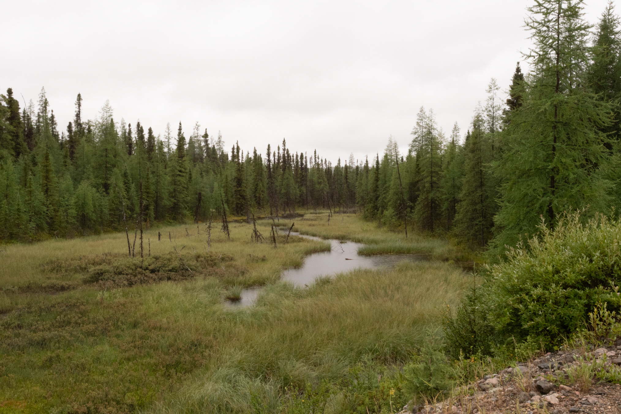
Another scenery shot of a little fen.
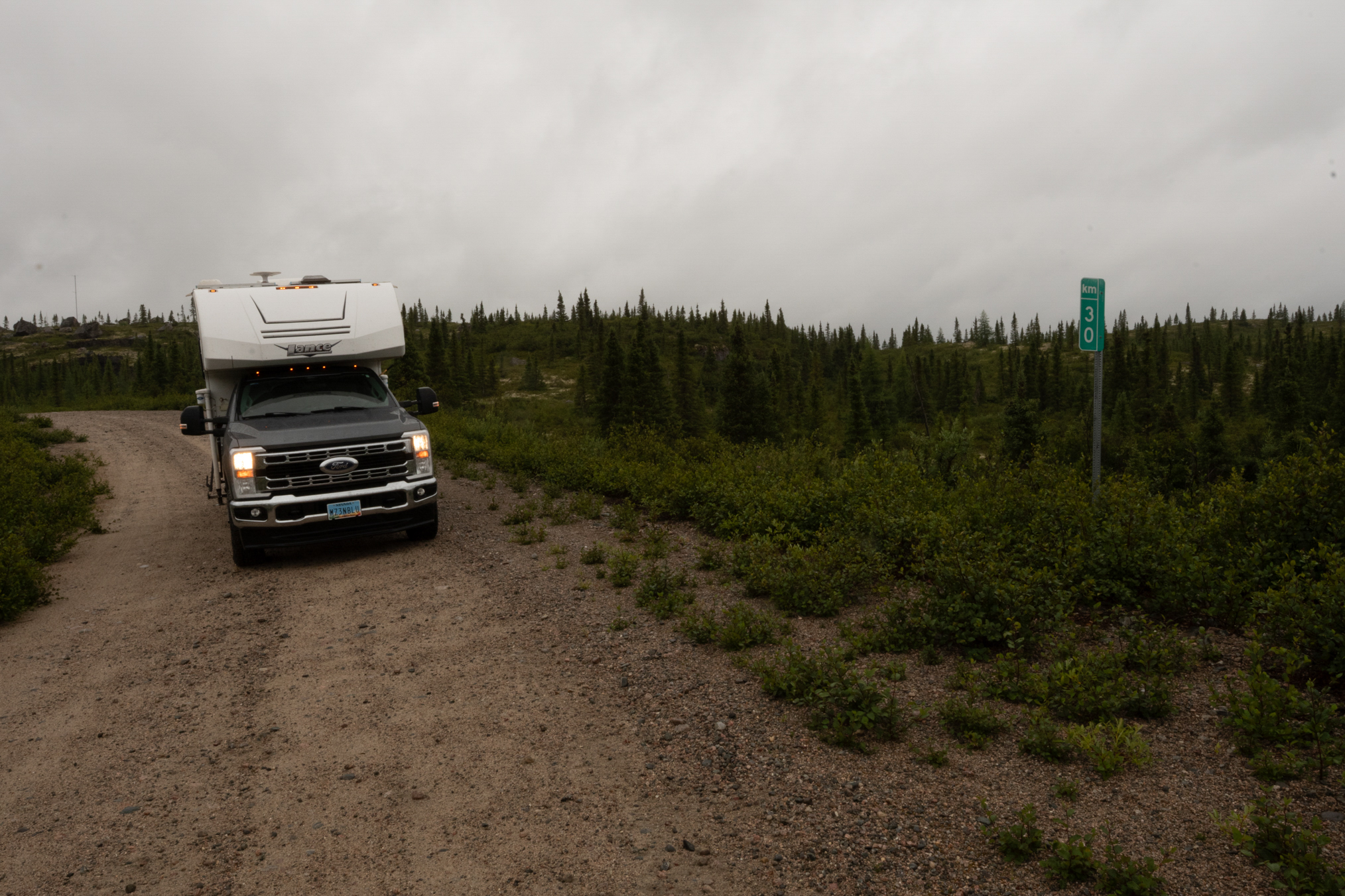
30 km.
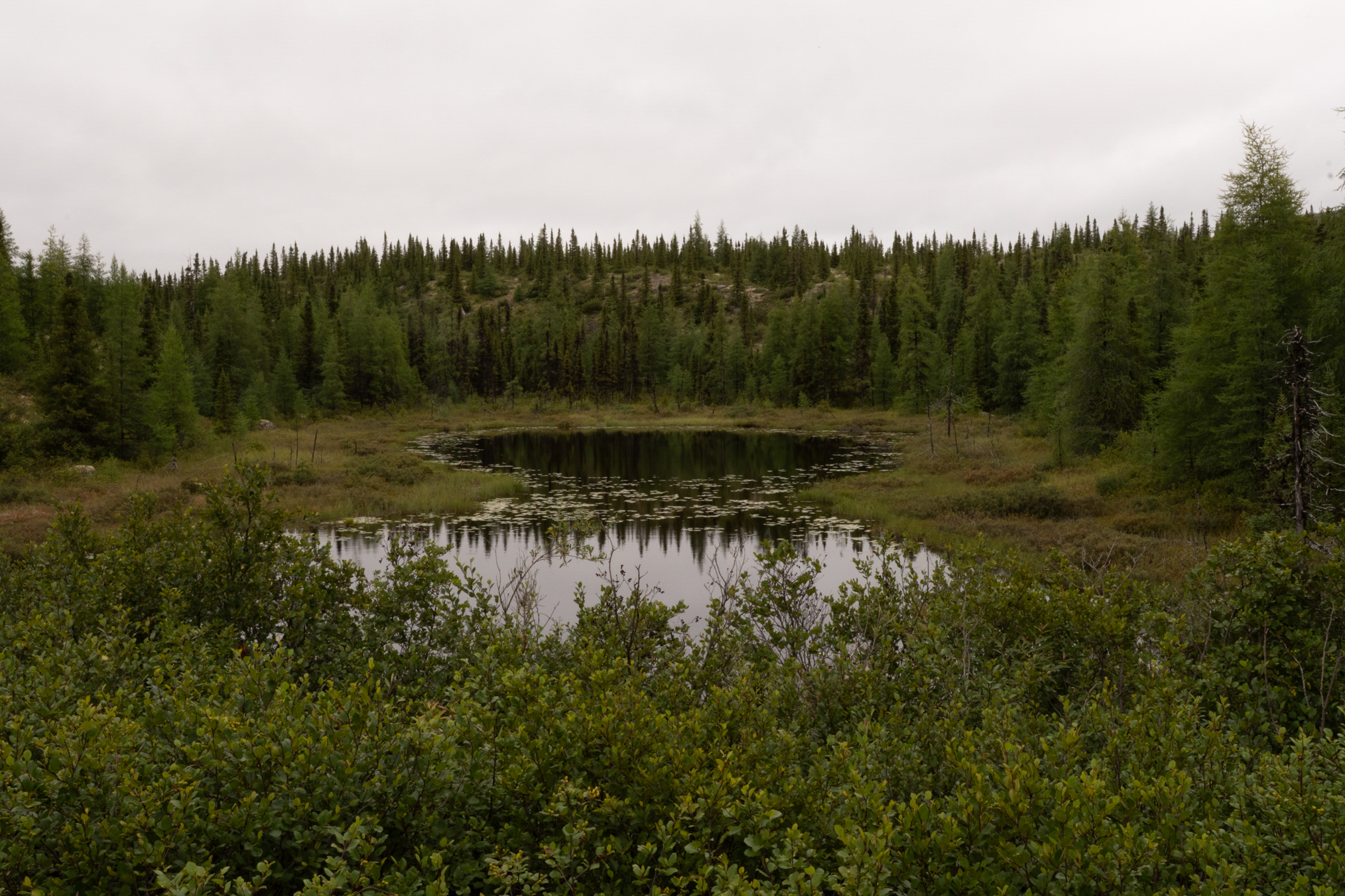
Another scenery shot.
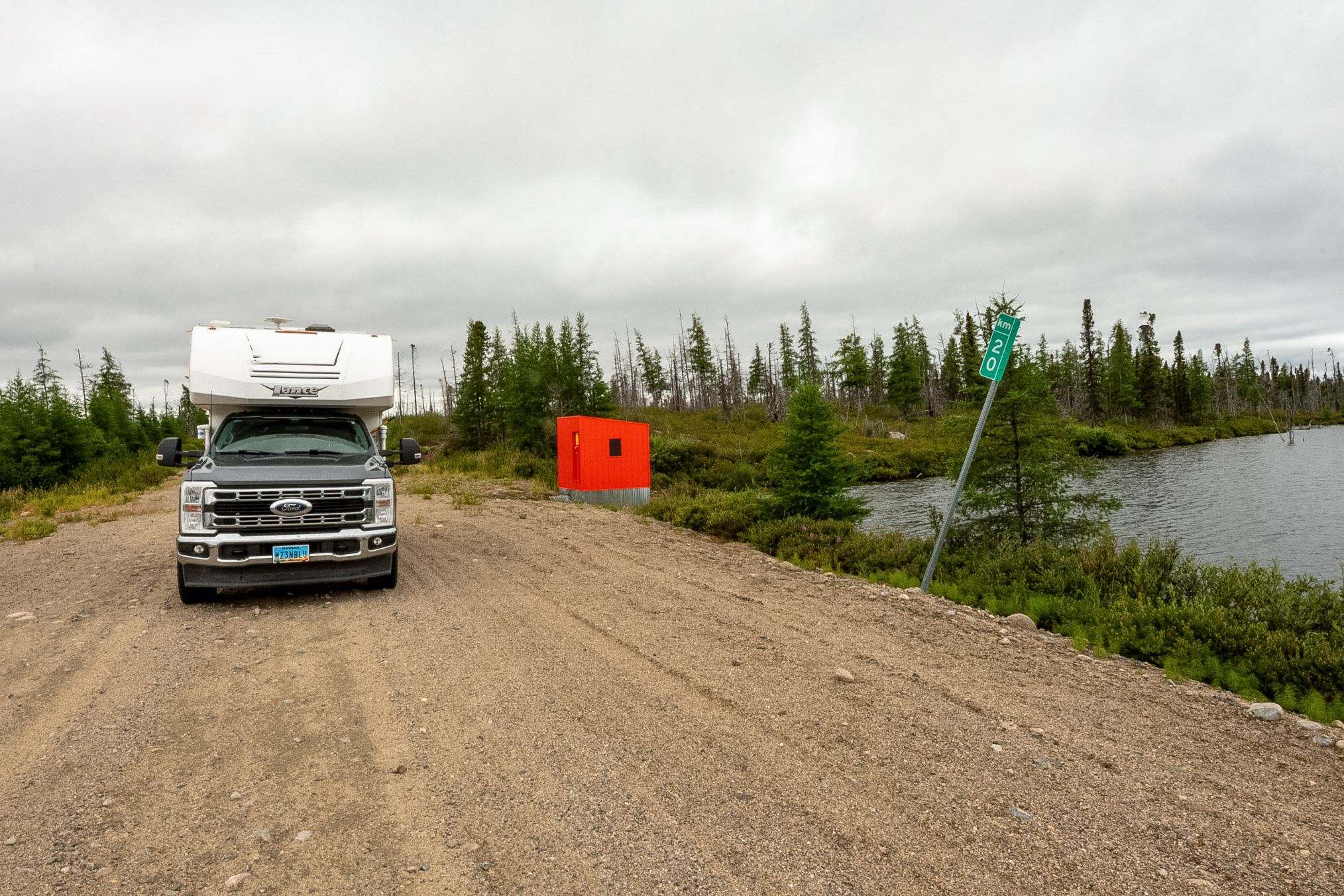
20 km.
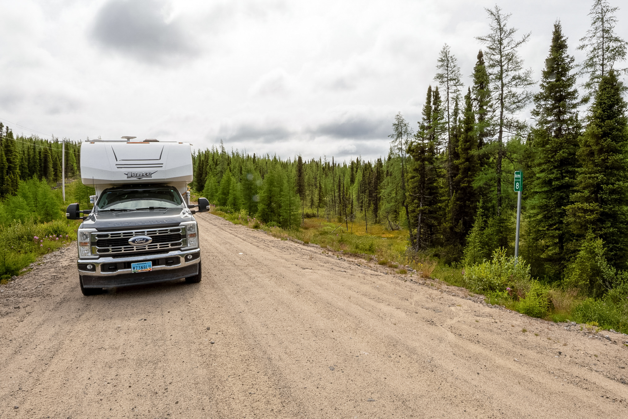
8 km, the 10 km sign was missing.
Another little creek.
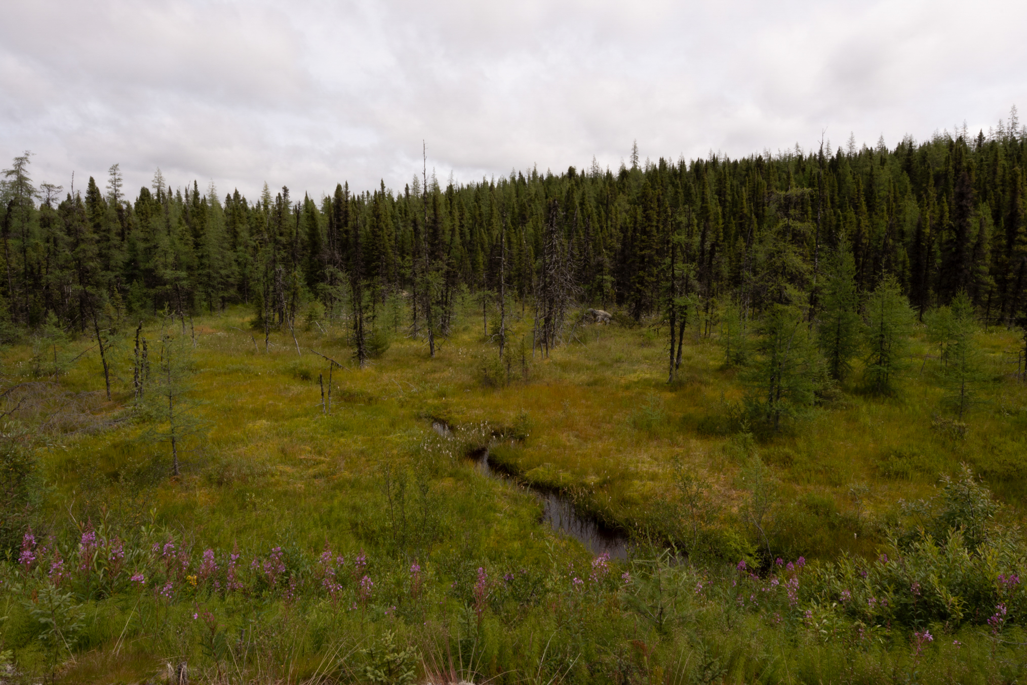
Finally, 0 km.
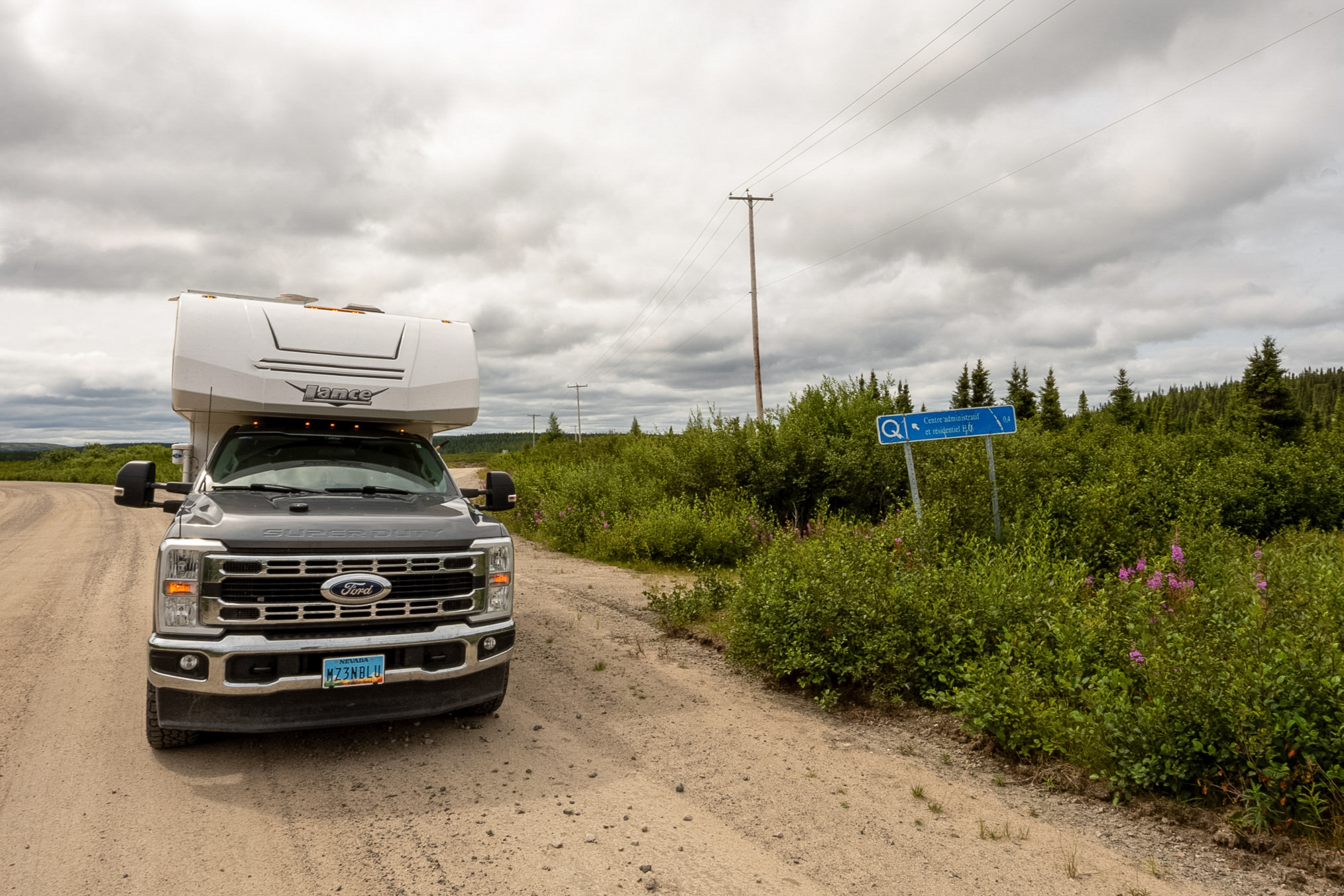
On August 3rd, I drove to about 670 km, the end of the road. This shows an access area where people leave their boats. There is good lake trout fishing right in front of these boats.
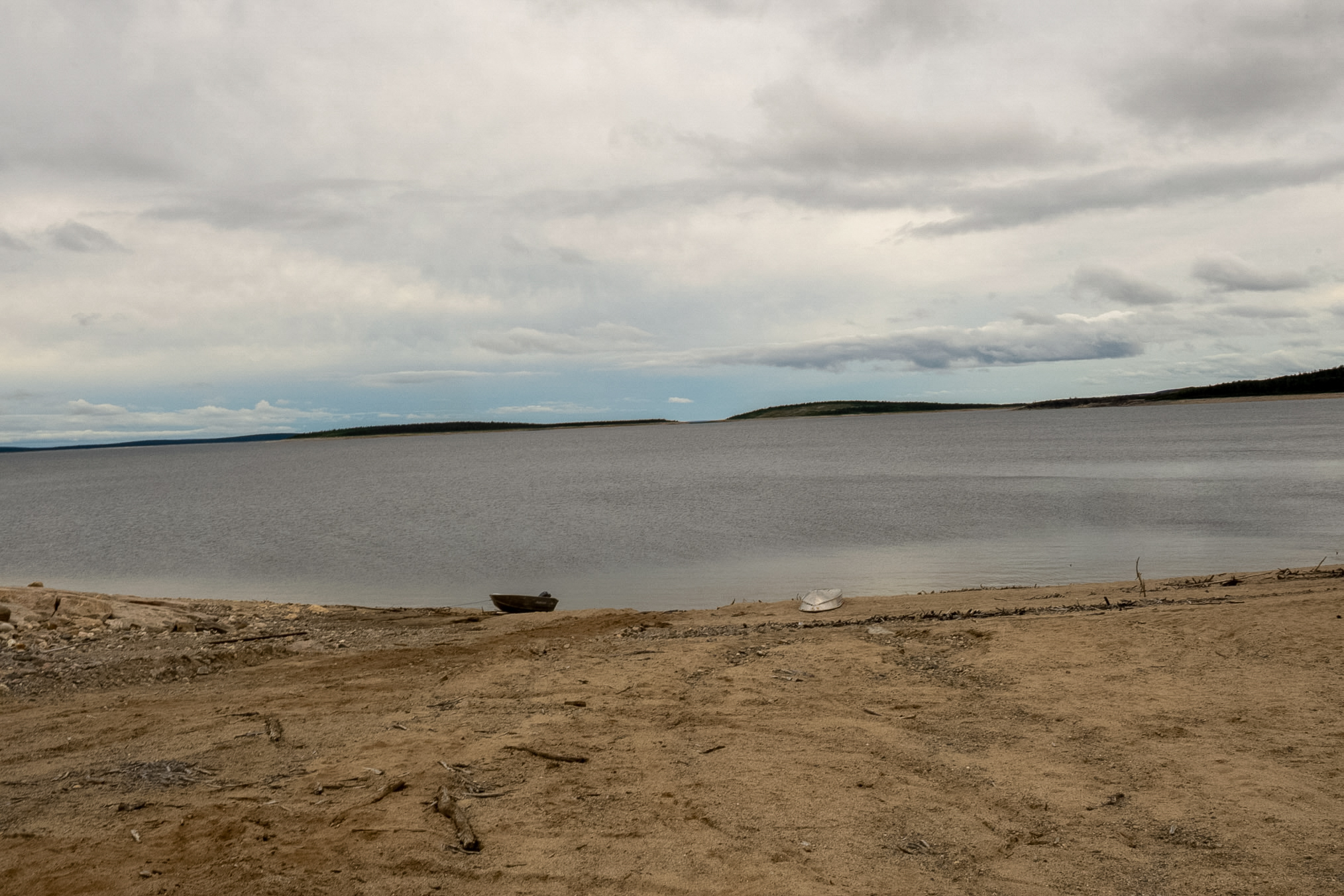
Looking back at the access road from the beach.
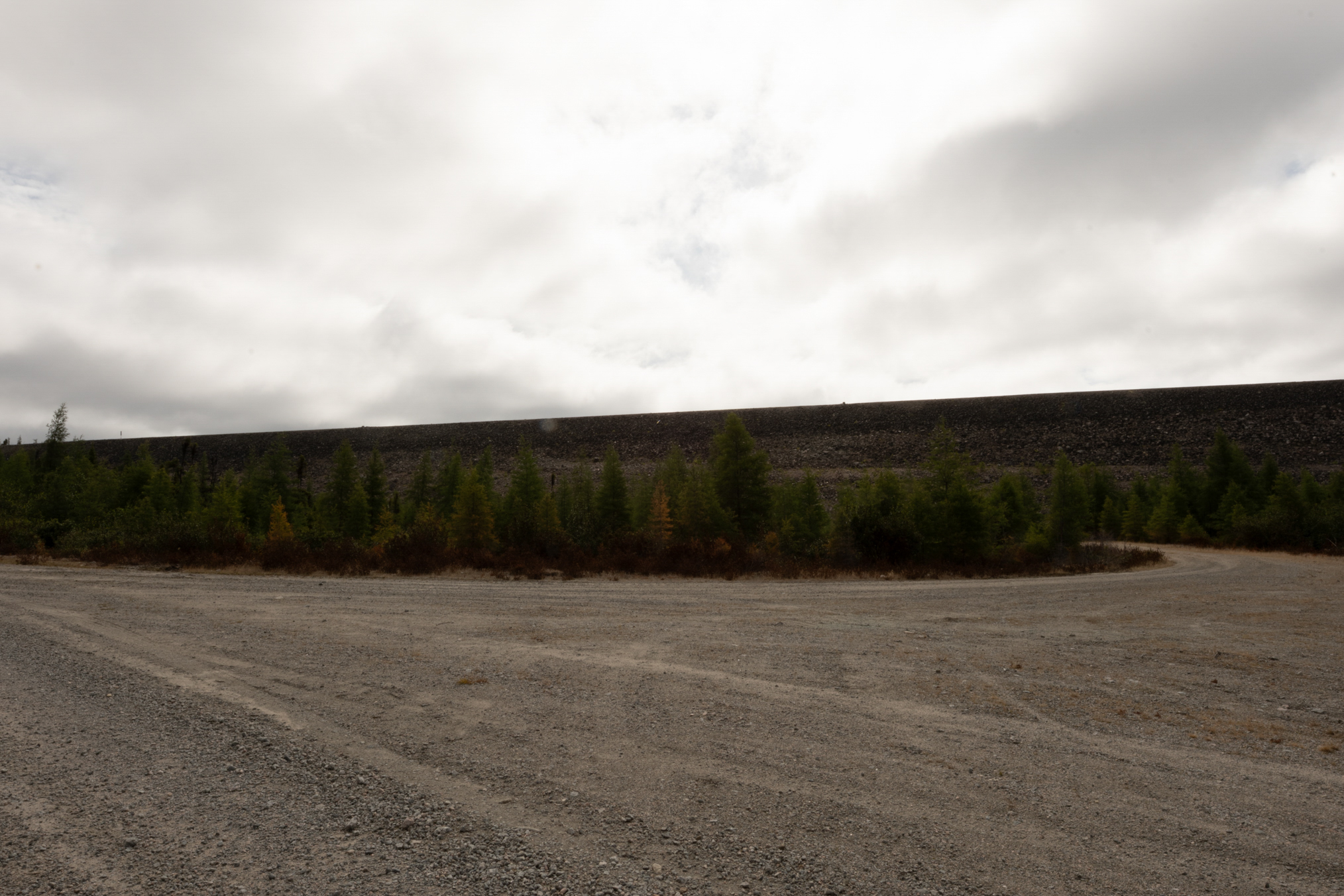
And another view of that access road.
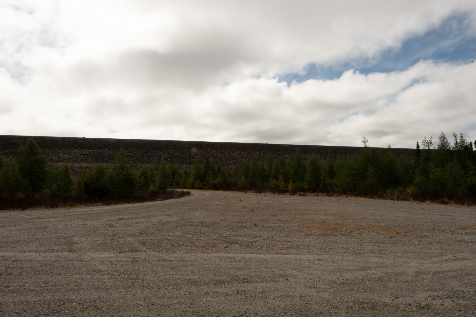
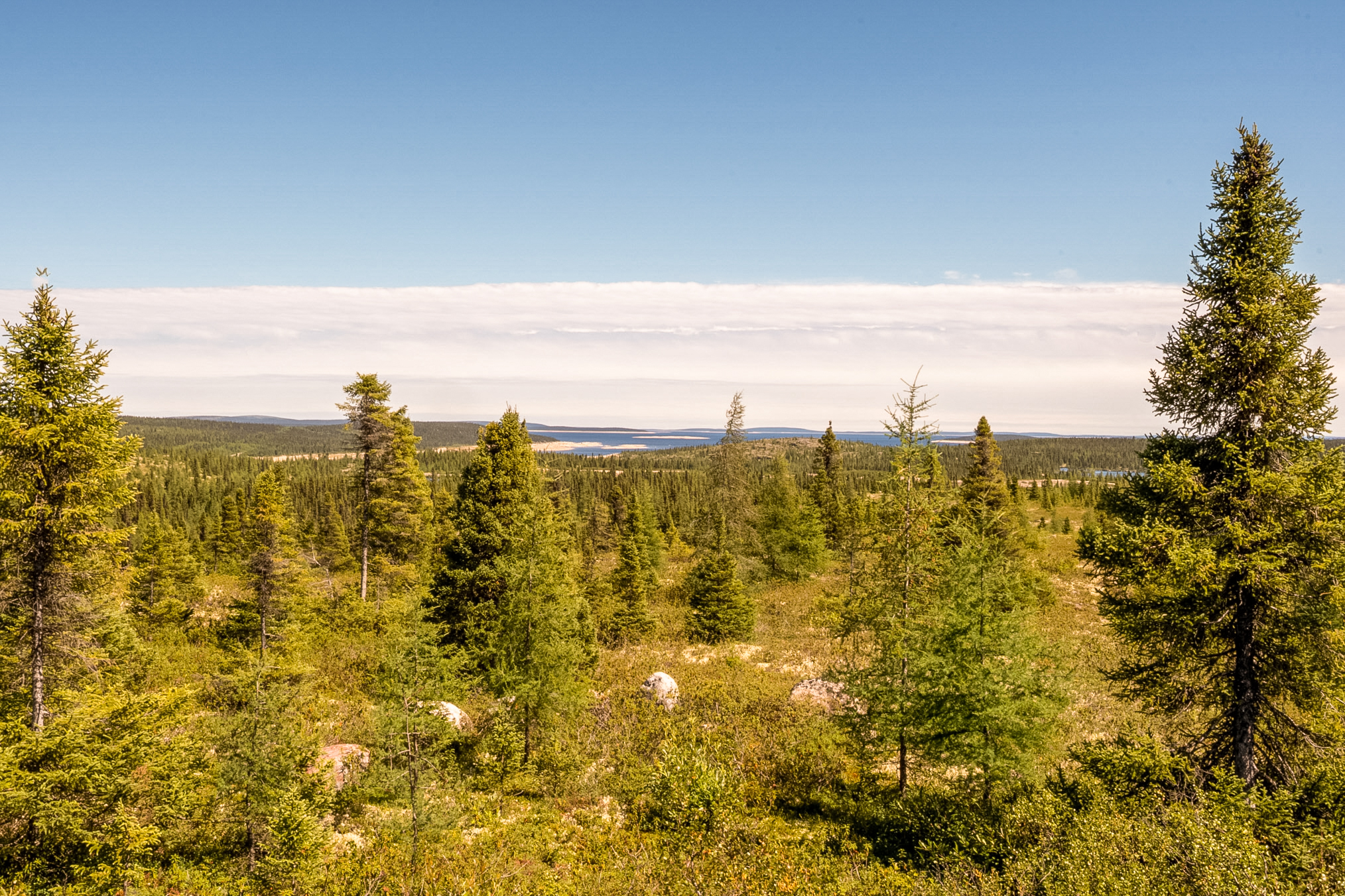
August 4th was quite a nice day and I headed back toward Brisay hoping to have better success with butterflies. This is a view of the reservoir from the road.
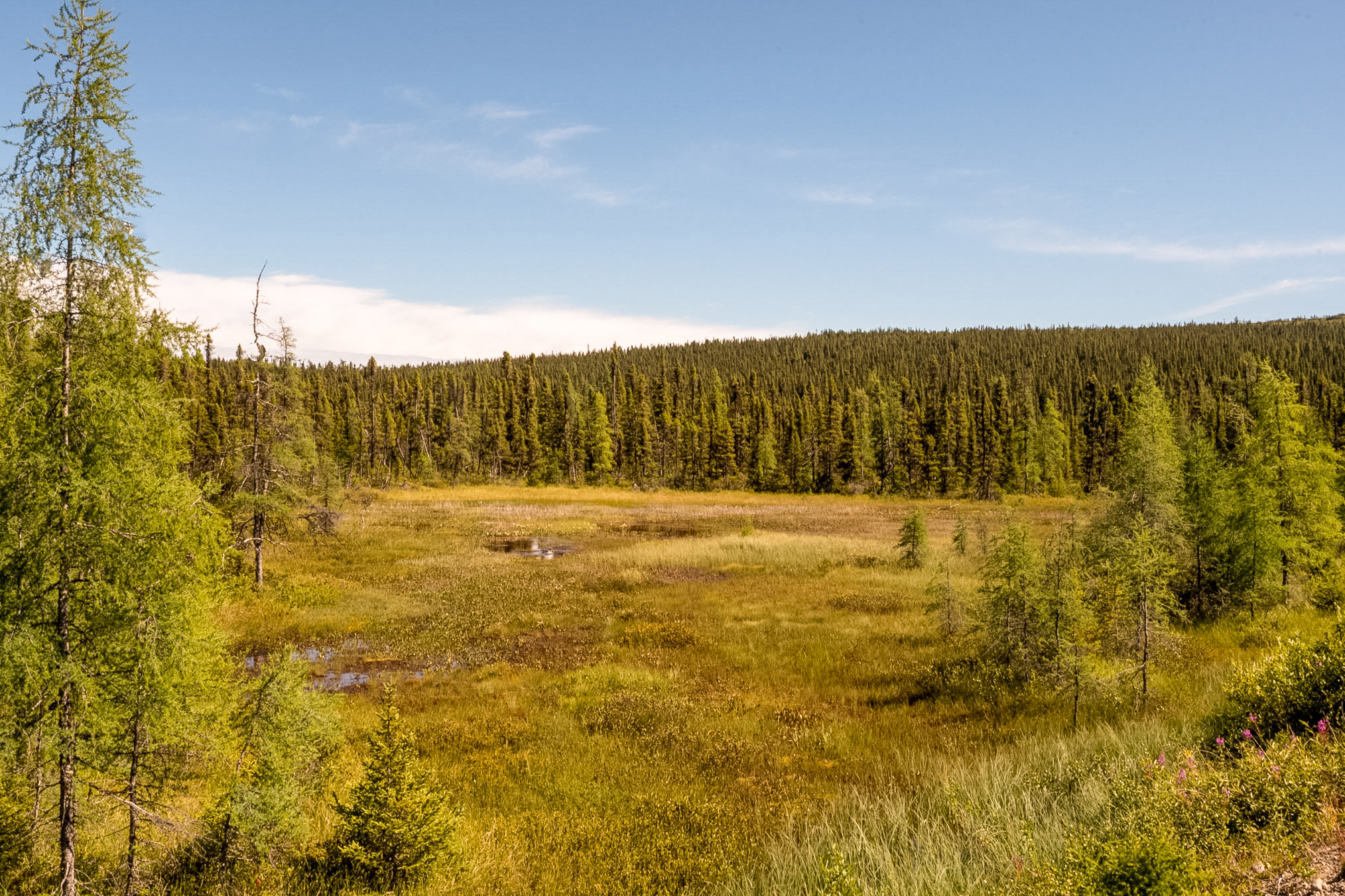
This shows another fen, a nice little shot.
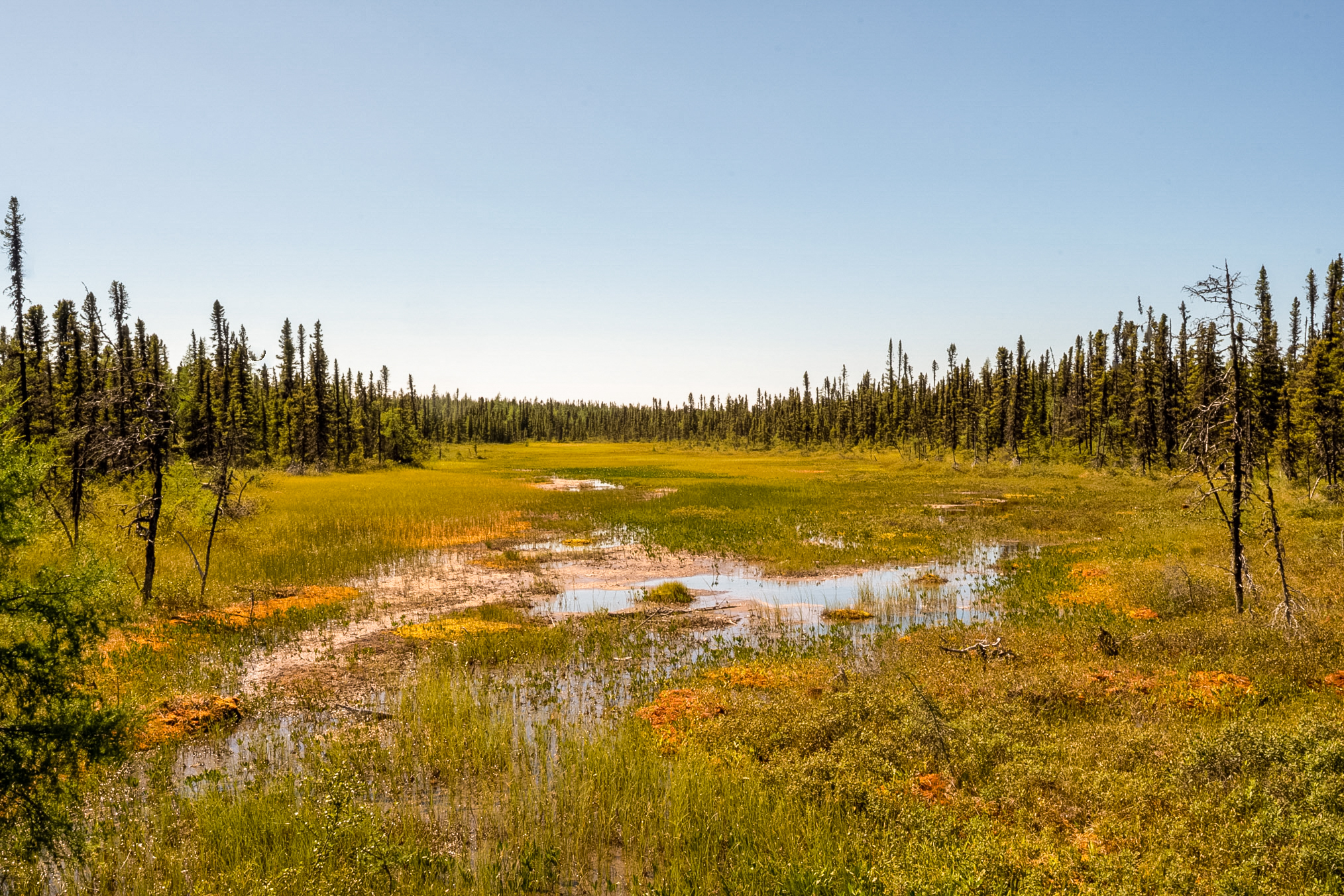
And another.
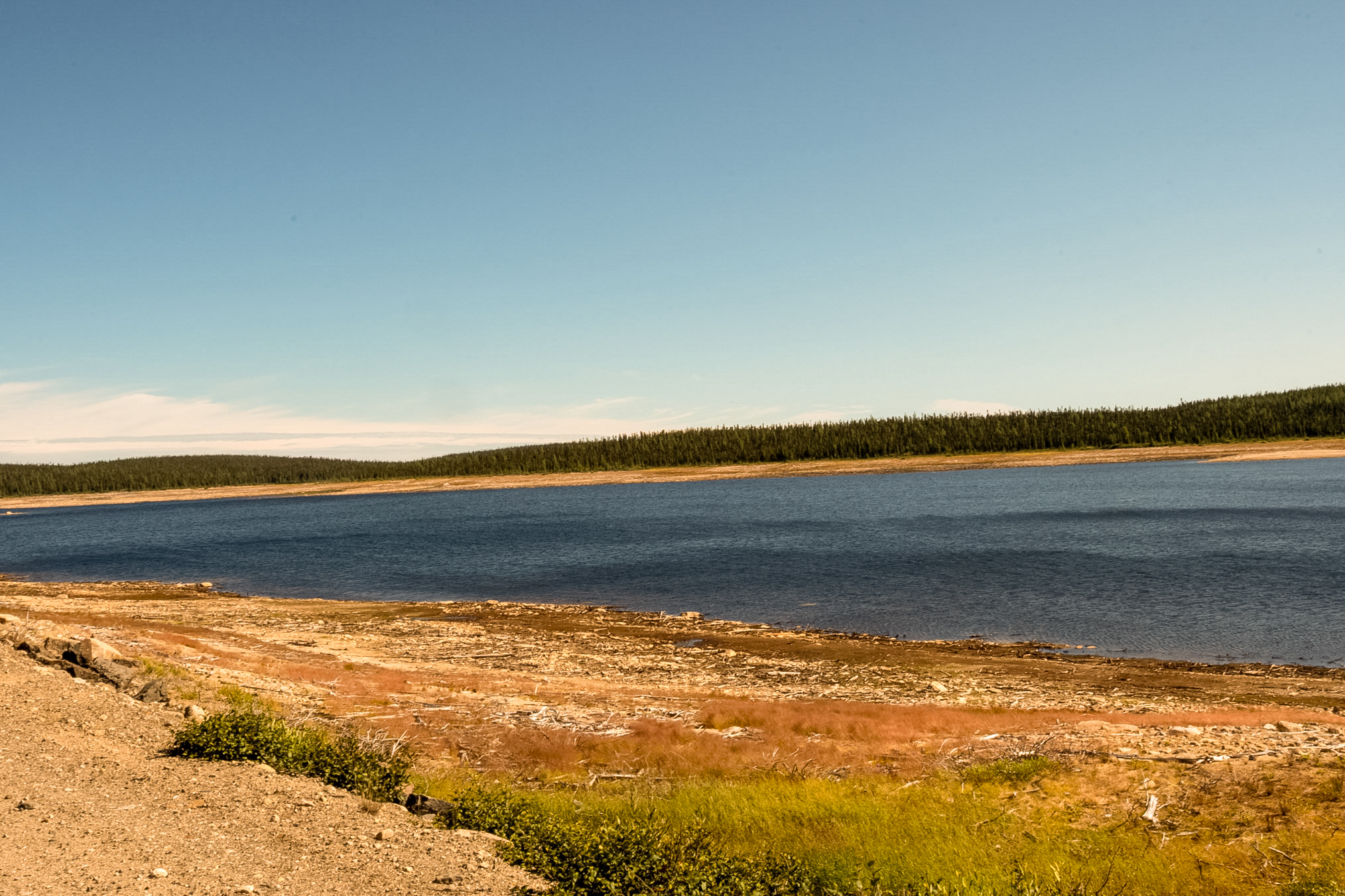
This shows another section where the reservoir is low/dry.
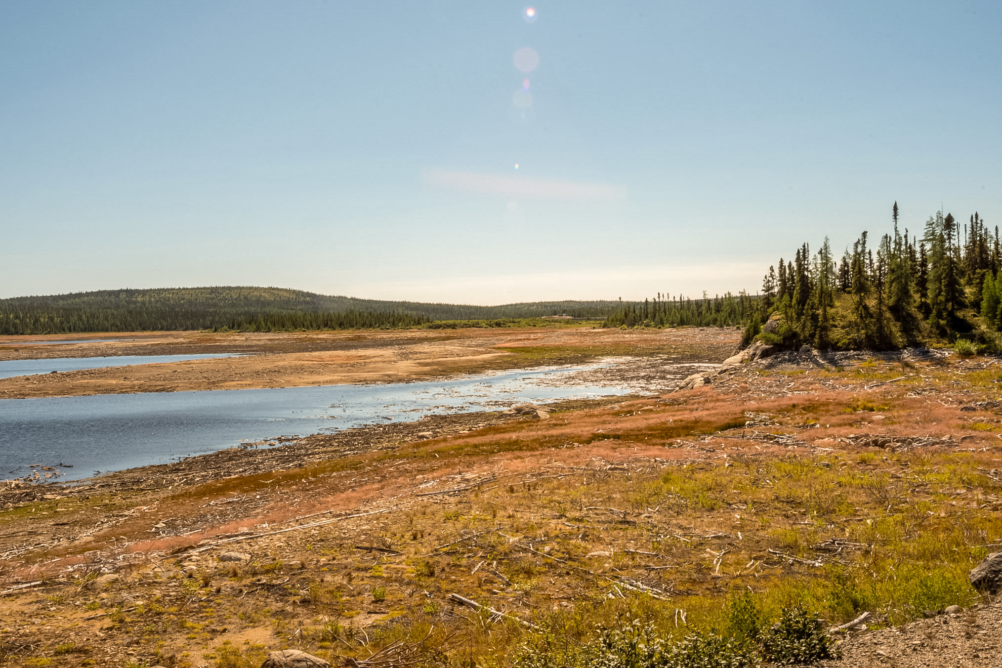
And this shot is just to the left of the last shot.
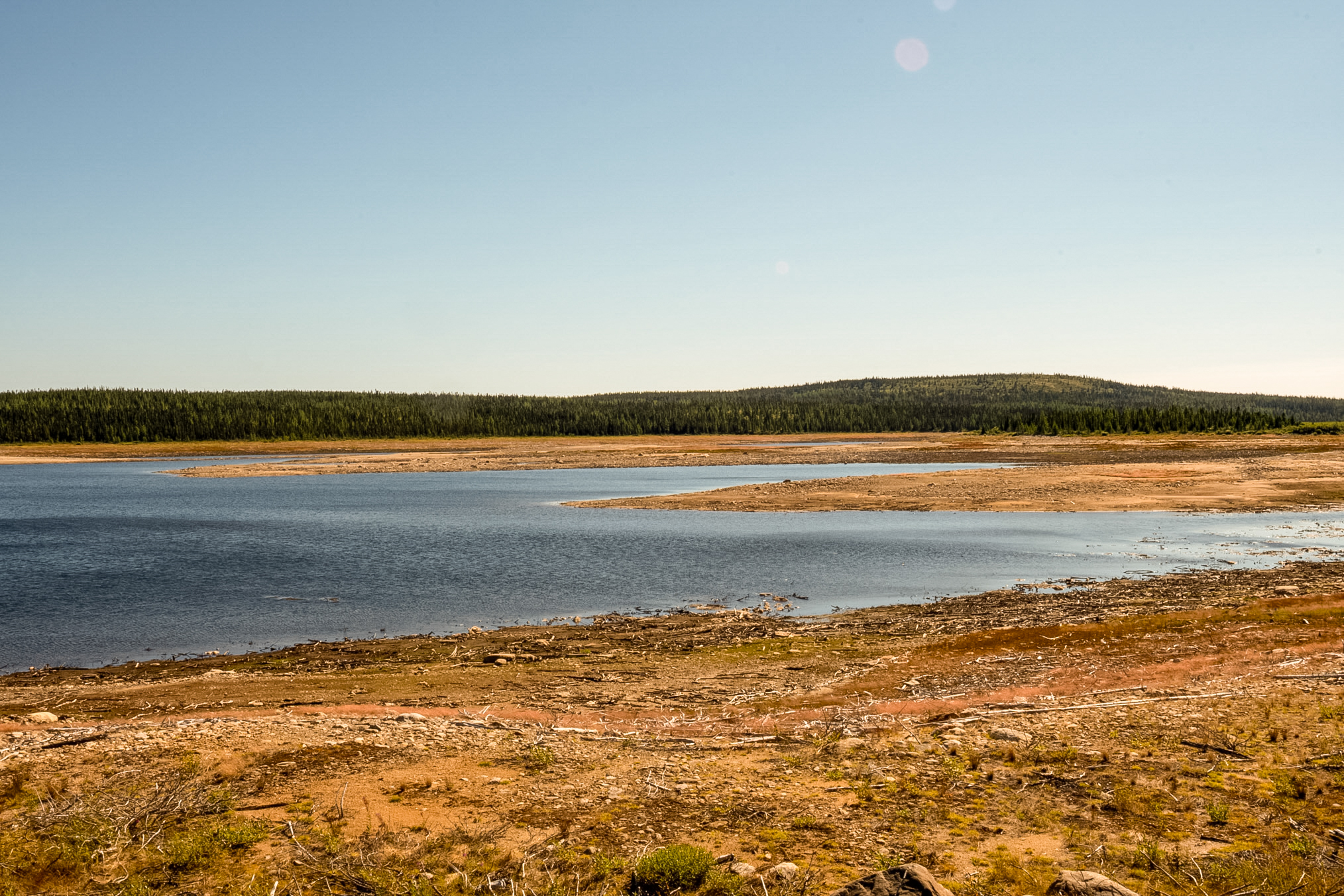
Another shot.
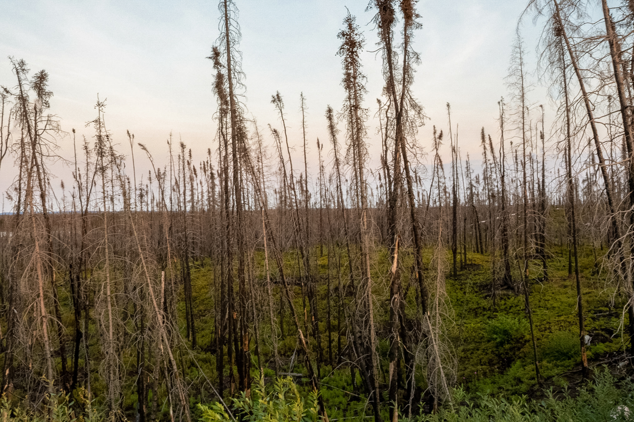
Later in the day I encountered a stretch of road where fire had damaged the trees. This road was recently resurfaced because it had suffered a lot of damage due to the recent fire. And when I say recent the fire had been only two to three weeks previous and in fact I was lucky that I was able to get on to the road at all when I started my trip.
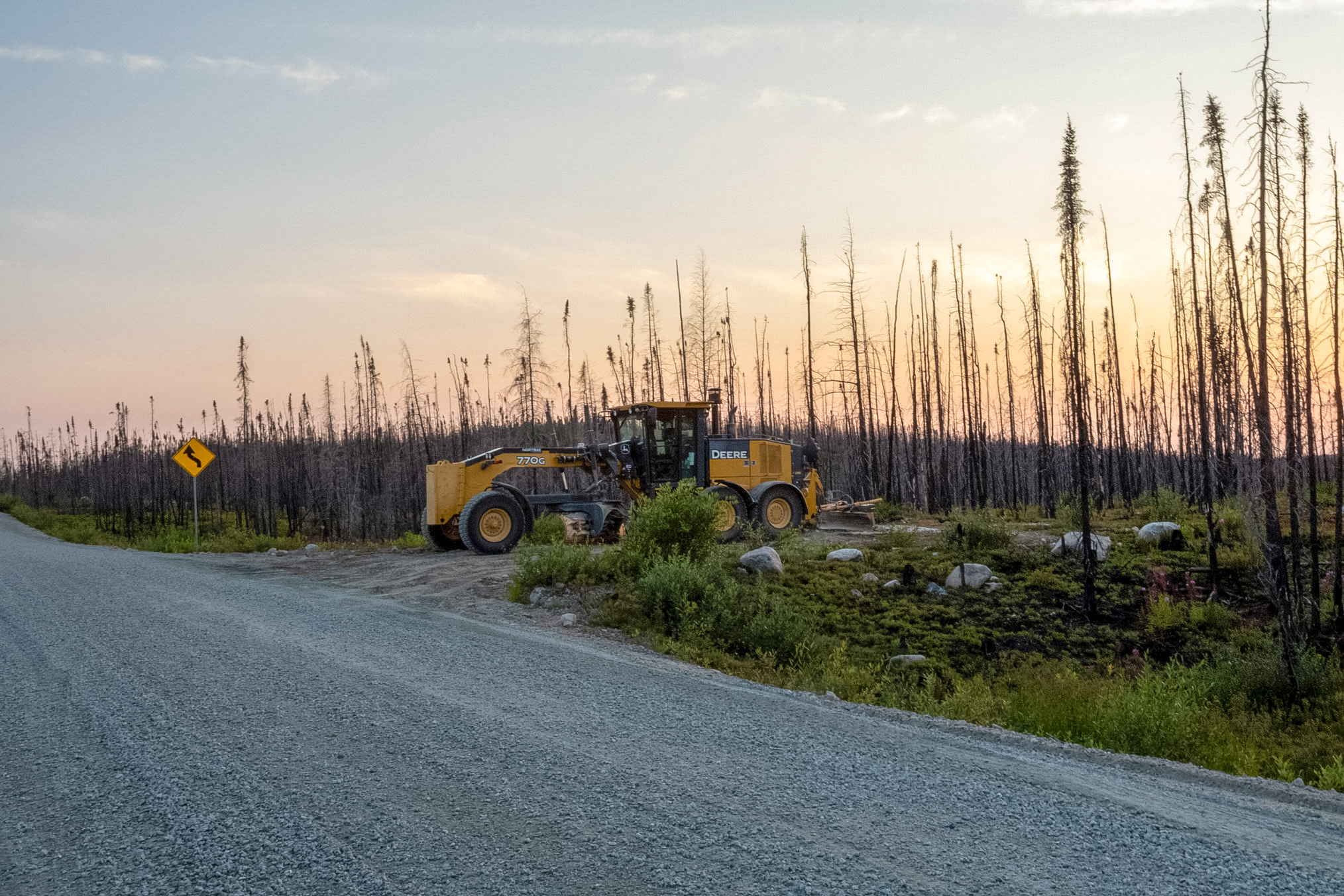
Here's another shot of the fire damage. When I started this way about two weeks ago the green foliage you see under the burnt out trees was not present the ground was all burnt out and black so the fireweed had just recently covered the damage. Fireweed is of course the first plant to grow after a fire, hence it's name.
Here's a closer shot of the resurfaced road.
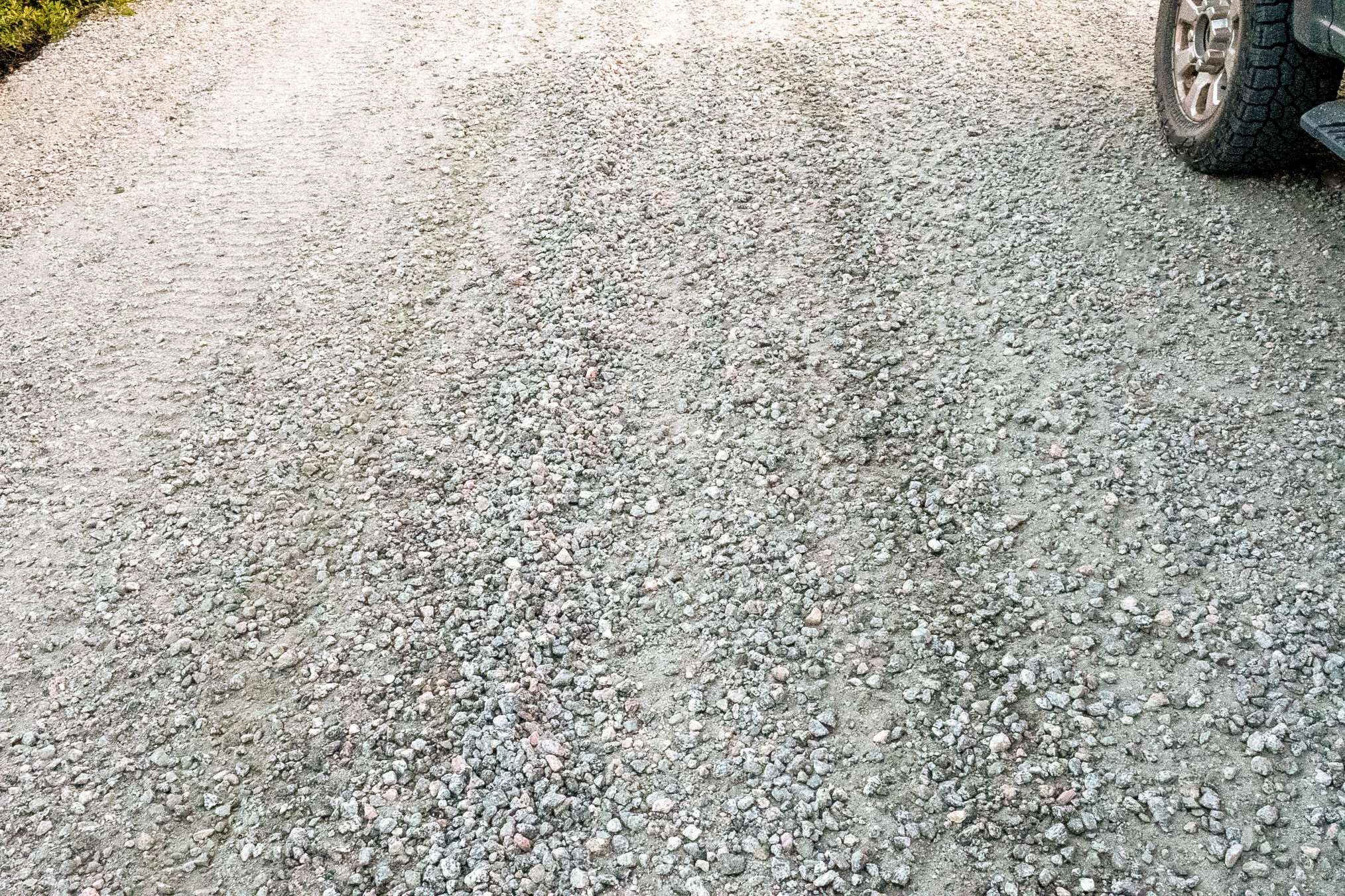
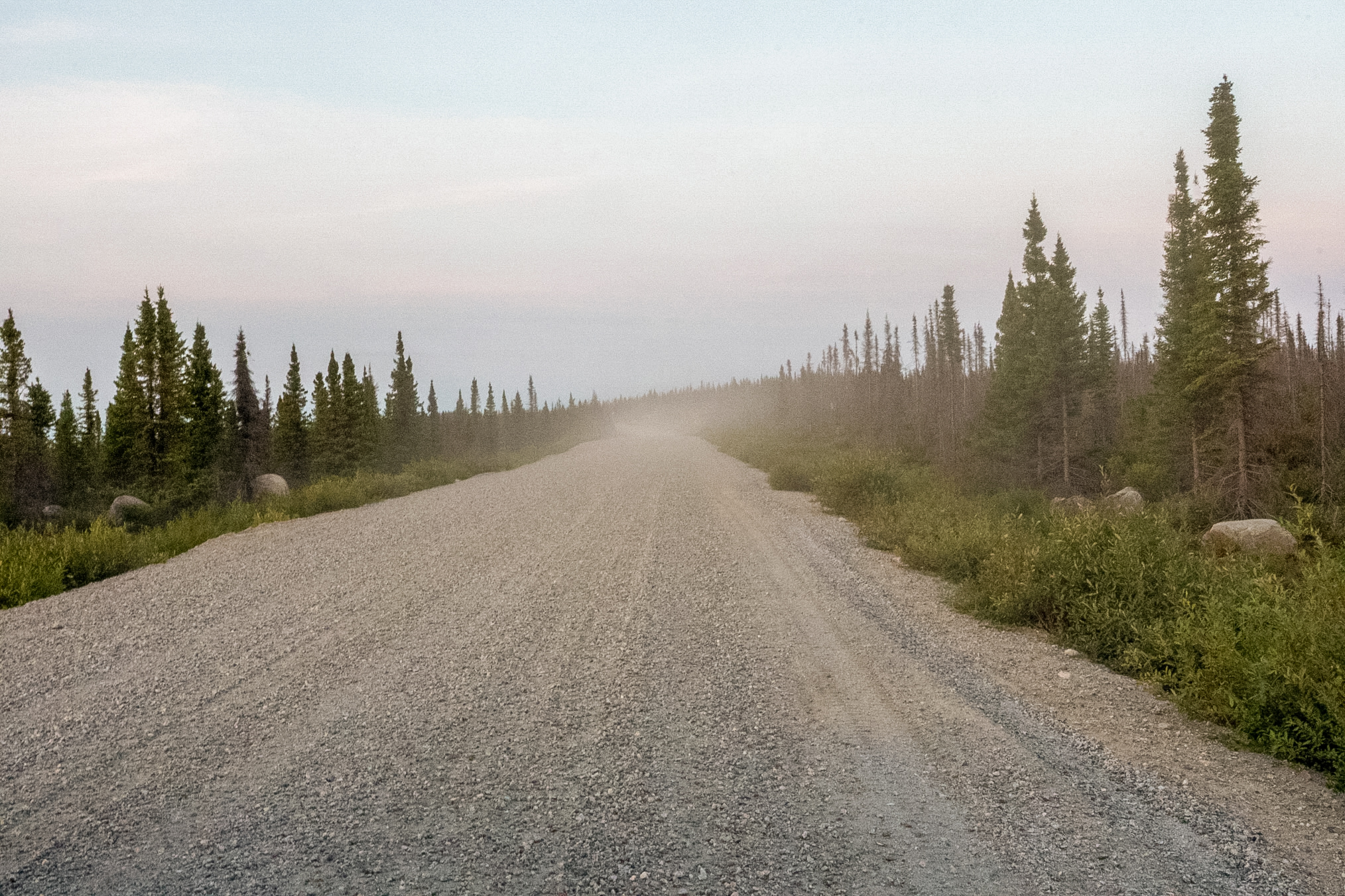
Unfortunately, this meant that I had to deal with a lot of dust particularly when following or getting passed by a vehicle.
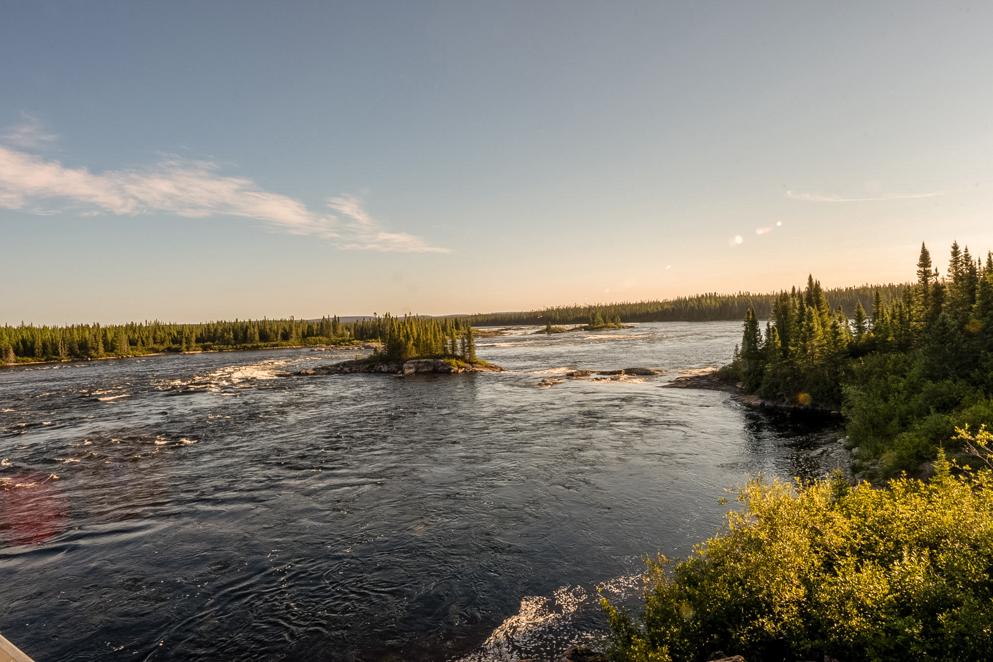
Now it's the morning of August 5th. I just left the Mirage outfitter at 358 km, this is the bridge over the La Grande river looking downstream next to the camp.
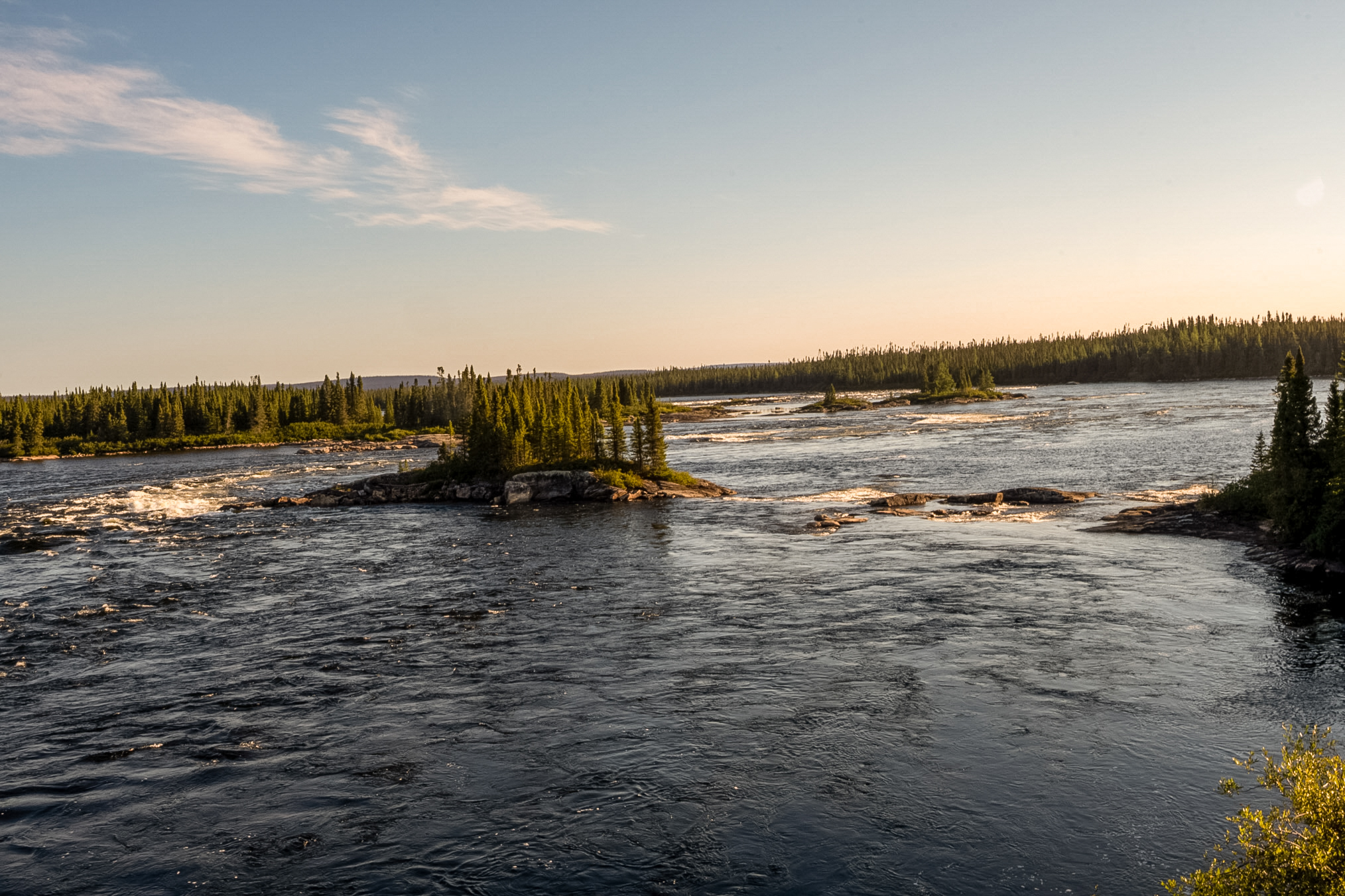
And here's another shot downstream.
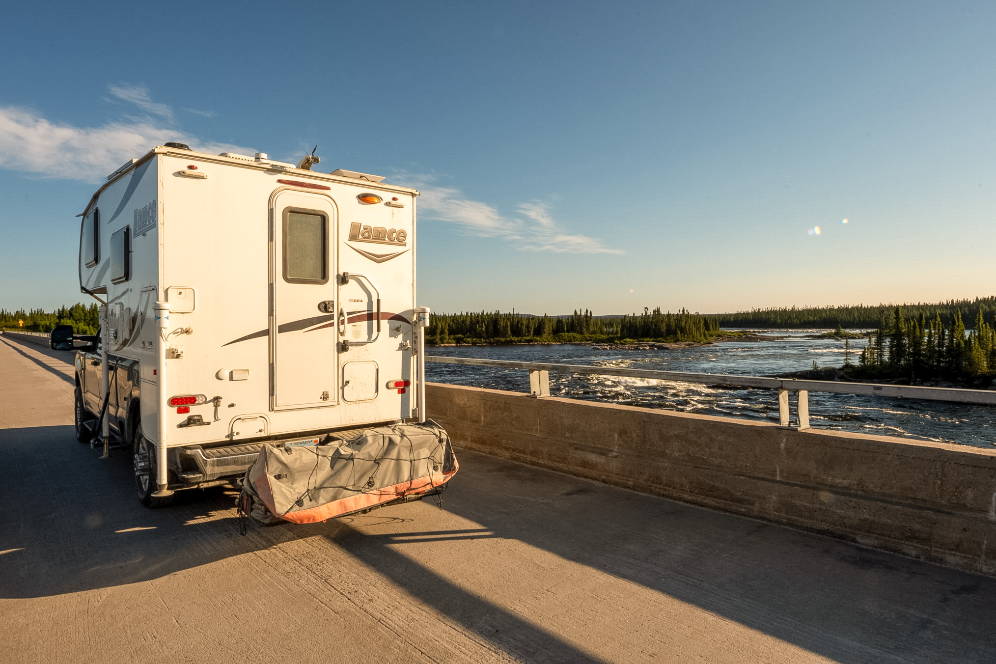
And another shot showing my rig parked on the bridge.
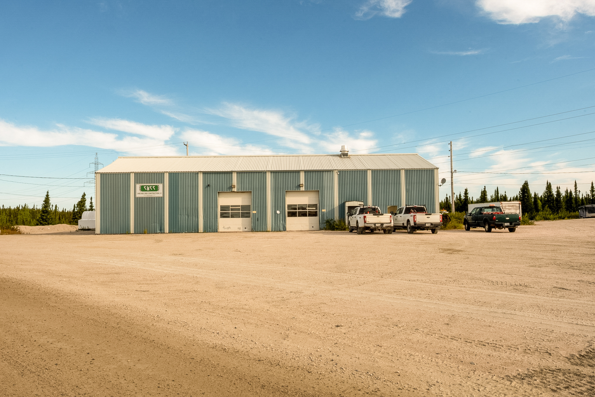
Further down the road I saw a garage housing vehicles that service the dams along the road.
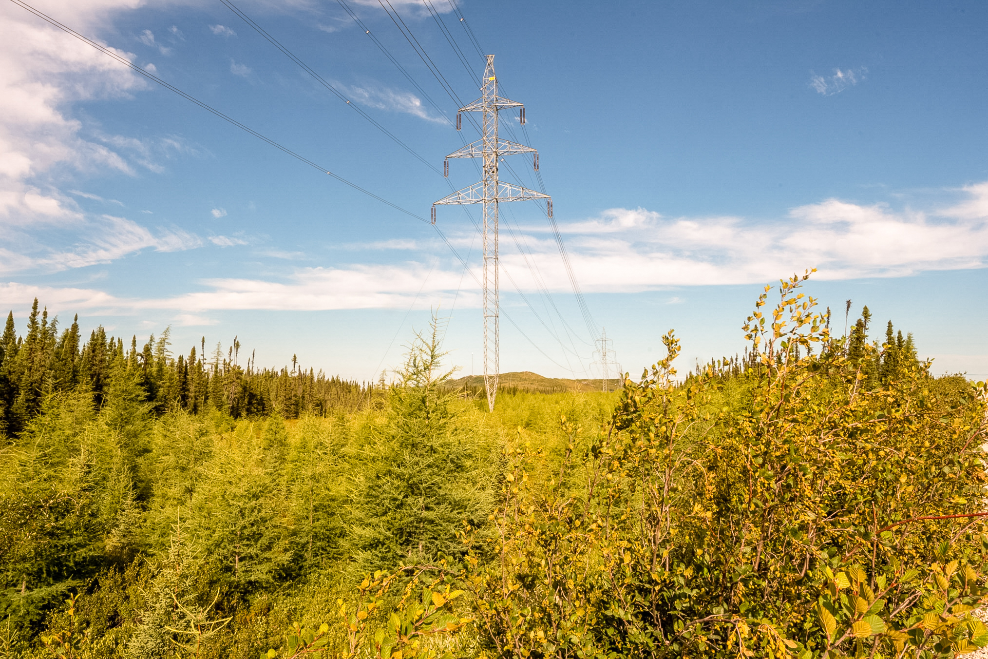
Power lines follow the road pretty much the length of the 580 kilometers or so from Brisay, and this shows a power line in the clearing. These clearings were not good for butterflies.
A nice little pond.
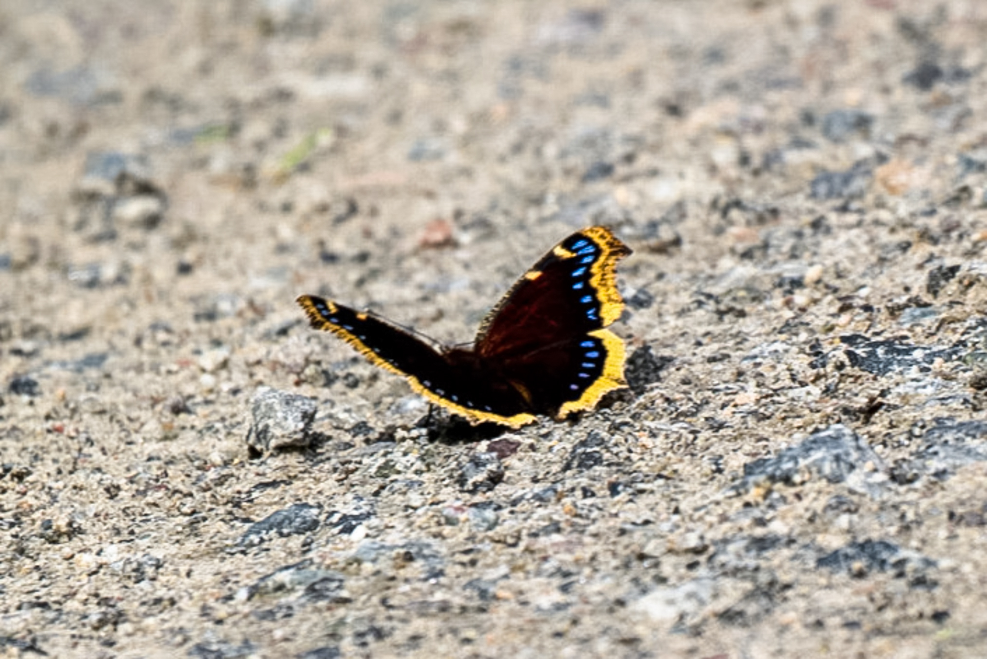
I've driven pretty much the length of the road from 358 to the 62 km campground access road. I found a good amount of butterflies on this road. This shows a N. antiopa. I should point out that I saw very few butterflies at the far end of the road toward 358 km and I only started to see them at about 100 km.
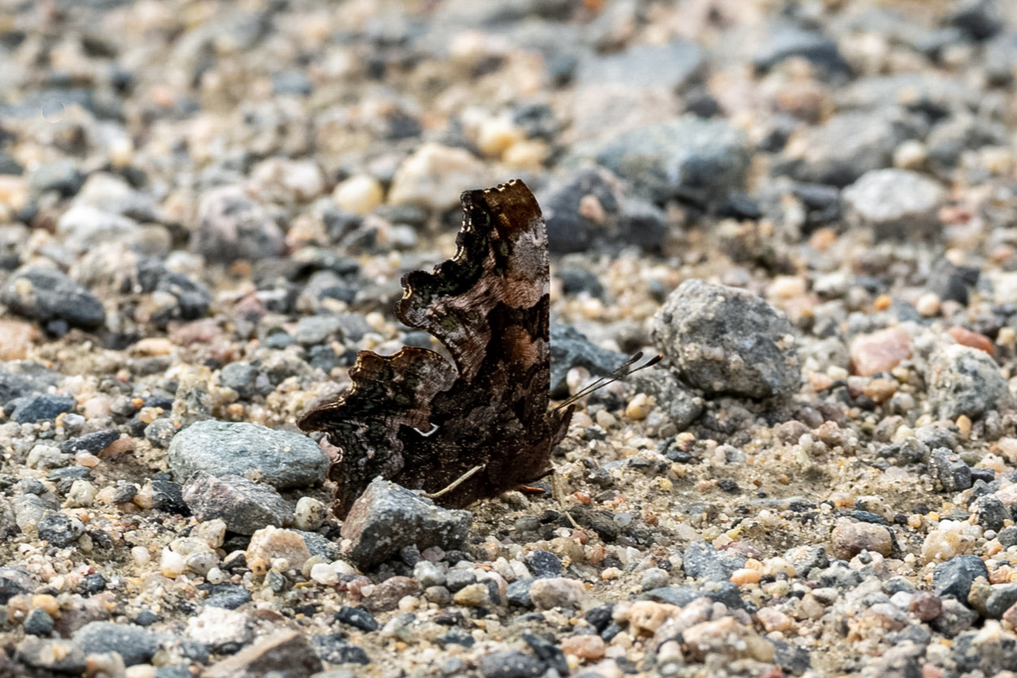
Here's a faunus puddling on the access road.
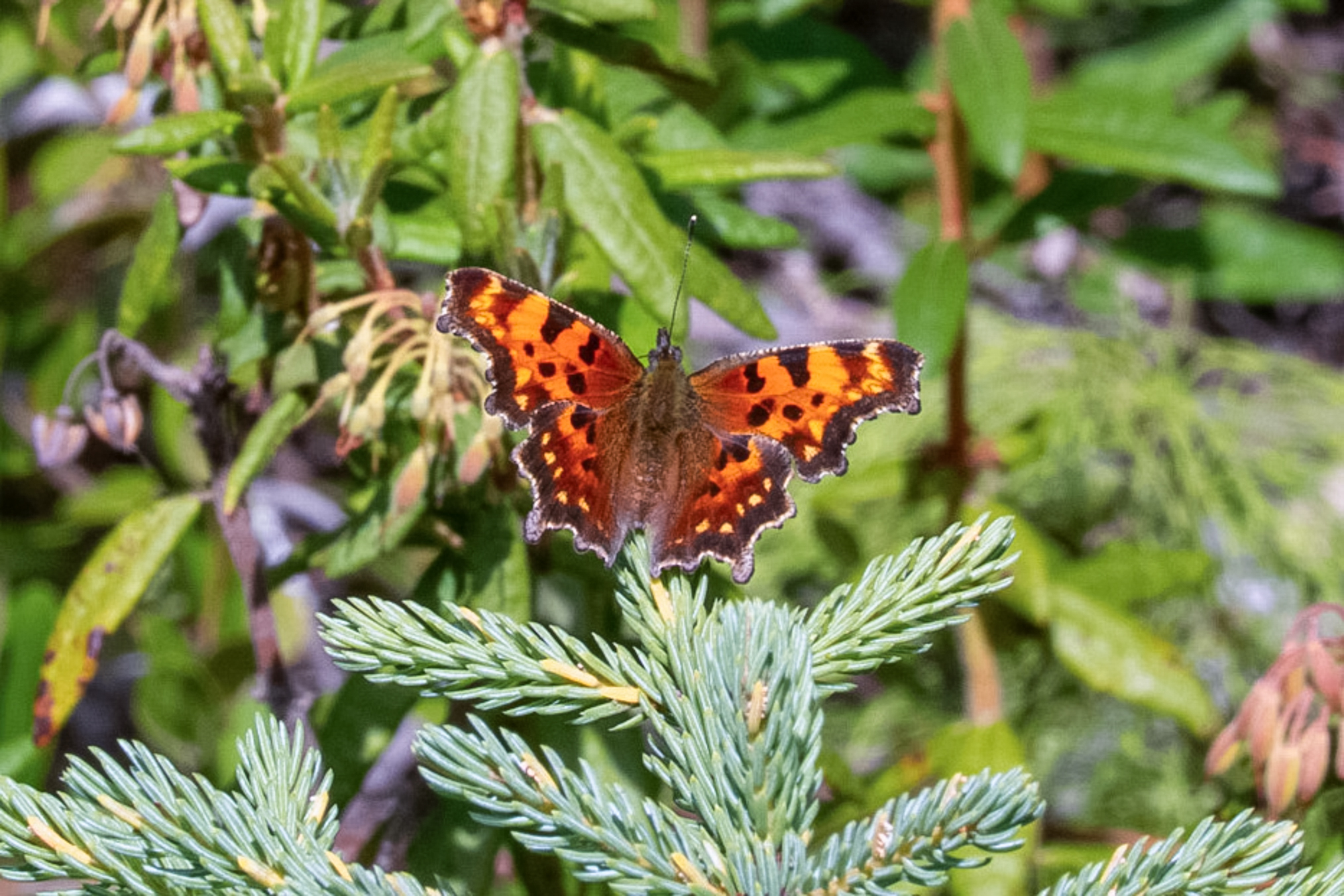
Here's one that I spooked onto a nearby spruce tree.
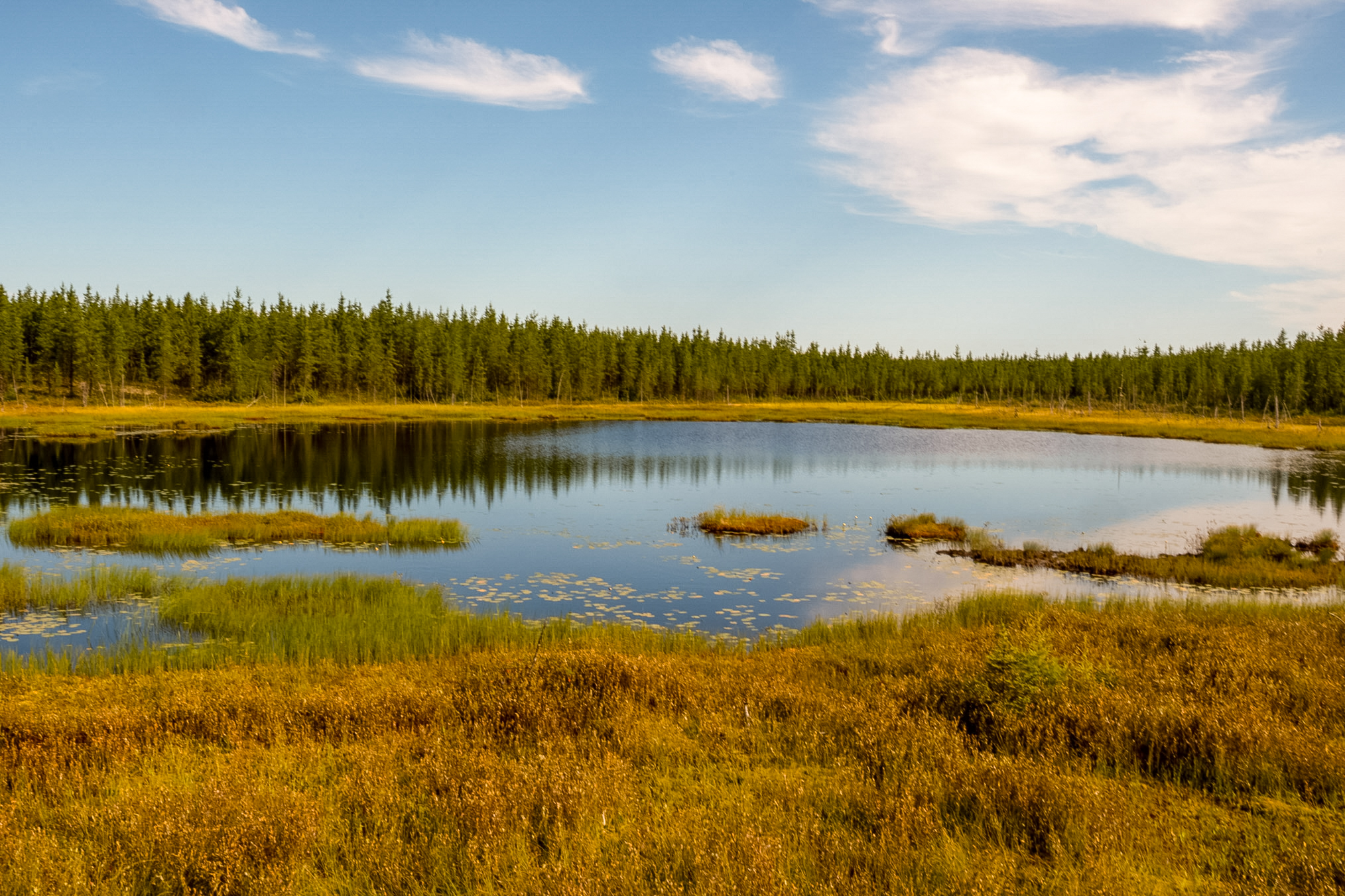
It's now the morning of August 6th and I've driven to about 50 kilometers north of Matagami where I saw these nice little peat bogs. I really like these little blogs so I took a short series of photographs.
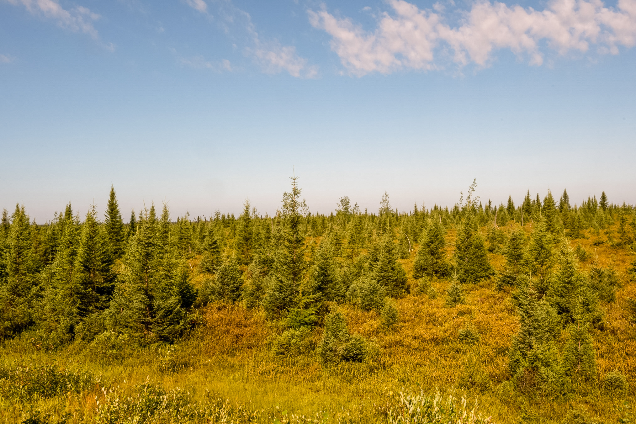
Open subarctic taiga landscape dominated by stunted black spruce trees (Picea mariana) growing slowly in the harsh northern conditions. The forest floor consists of a thick, wet layer of peat moss, lichens, and low bog shrubs
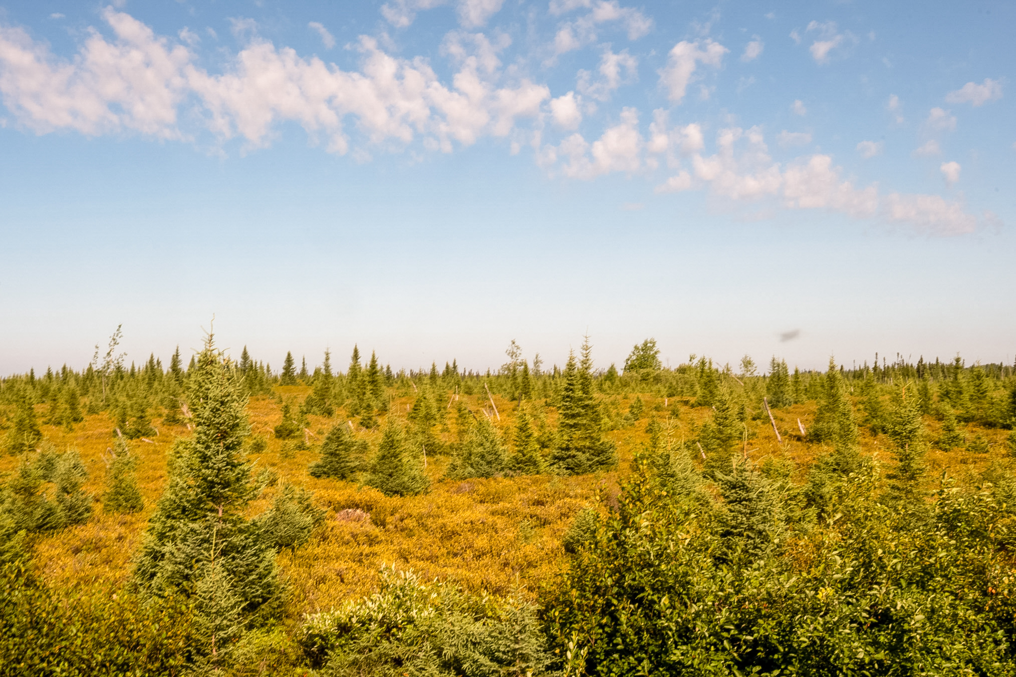
Here's another shot. You can see two bugs in the photo.
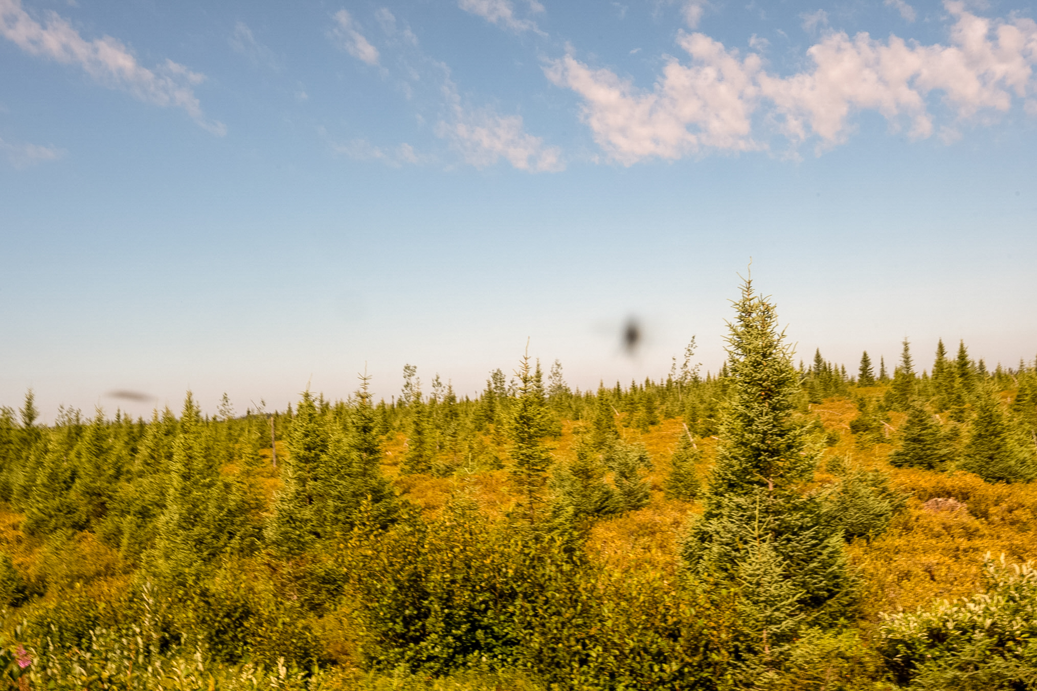
And another photo.
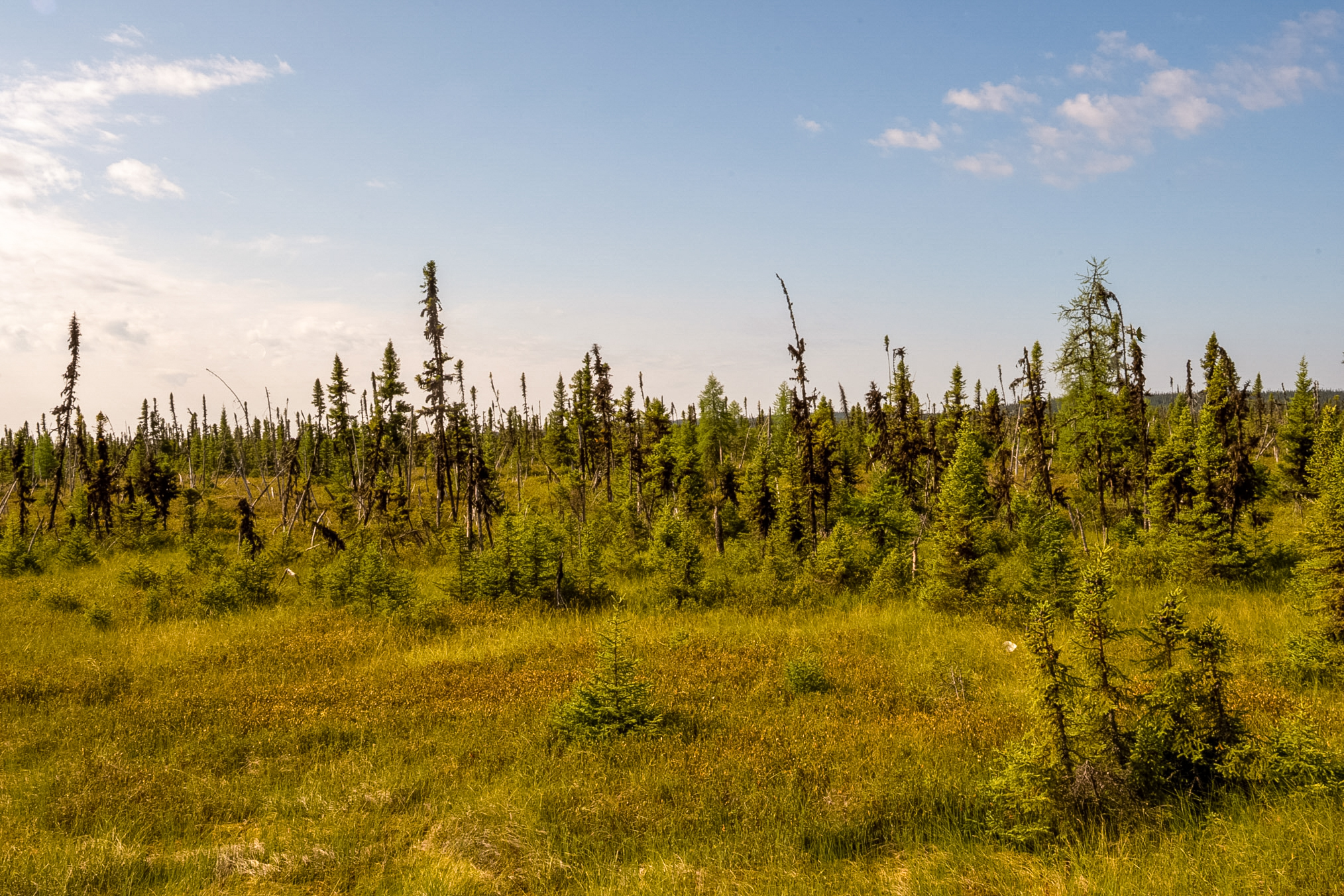
And another photo.
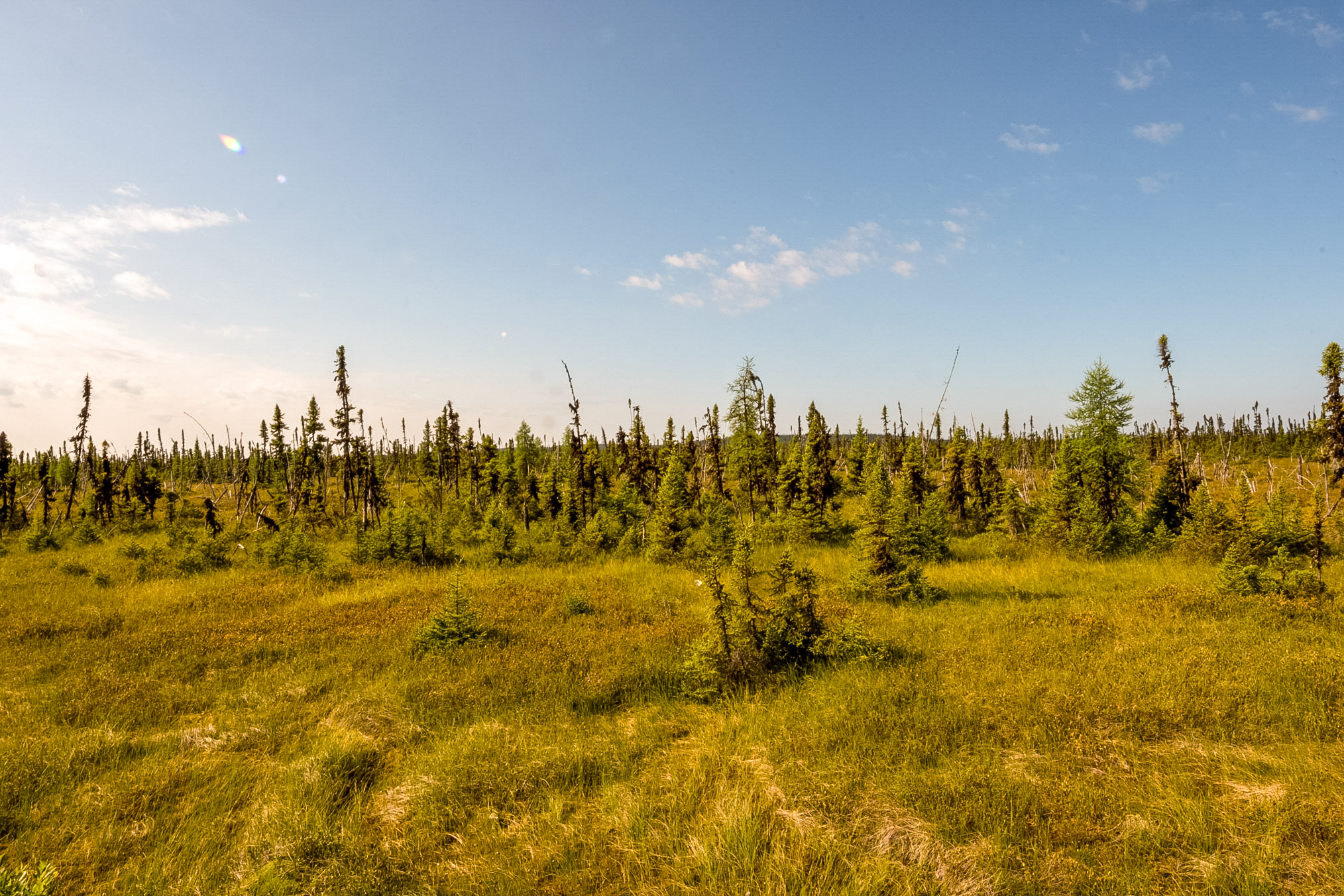
And yet another that shows the bog nicely backdropped by the spruce.
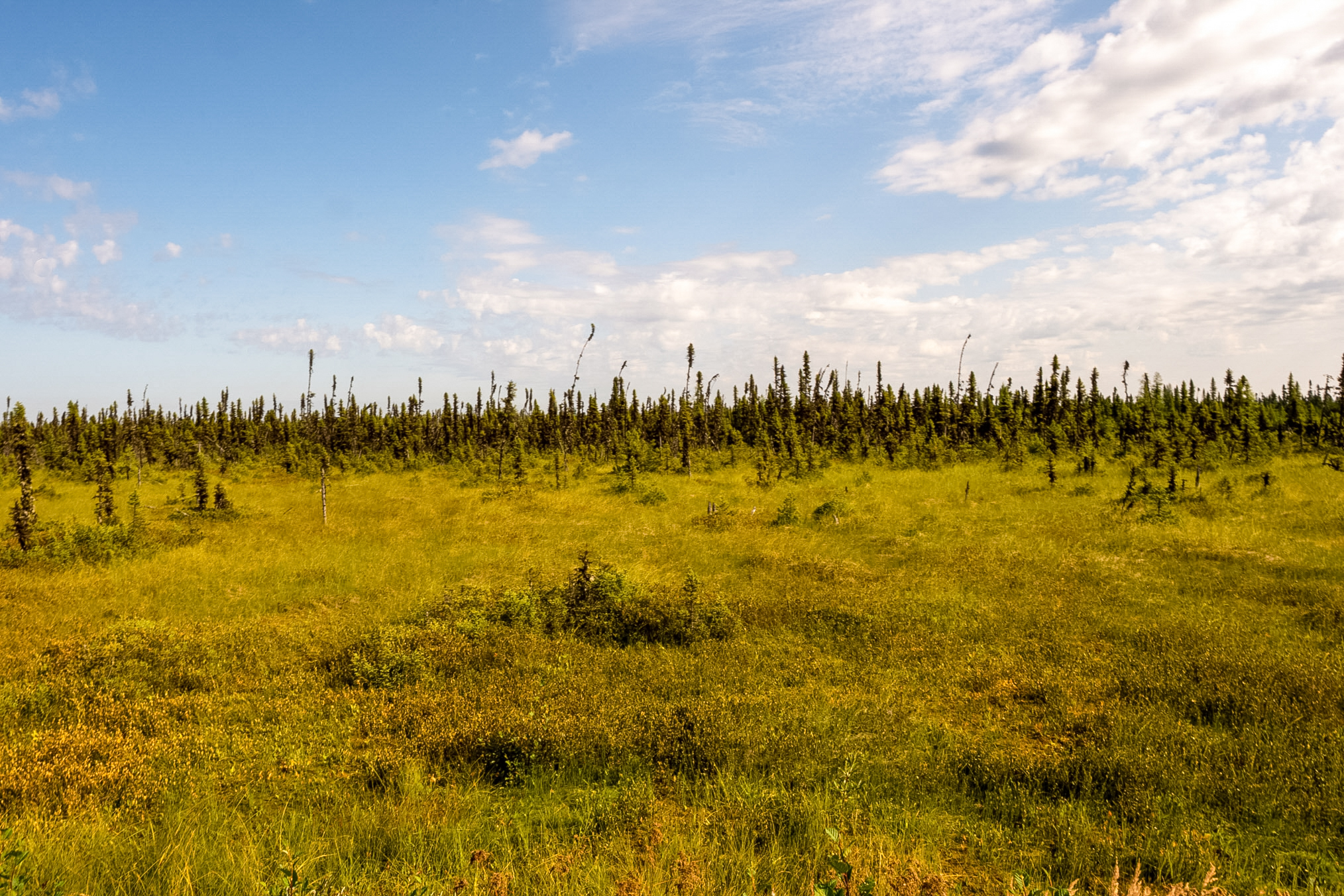
And another photo.
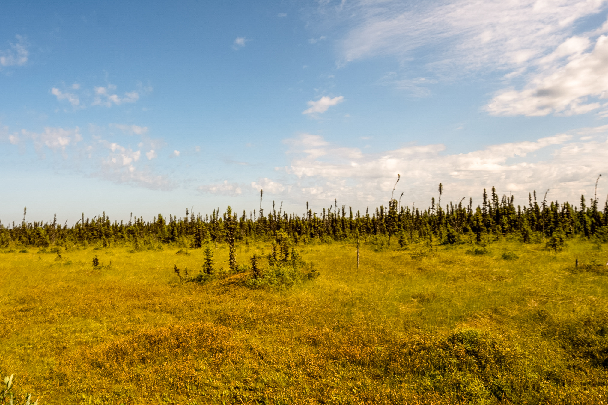
Best described as a subarctic string bog (or ribbed fen) featuring patterned ridges of moss and sedges separating wet depressions. Stunted black spruce trees line the horizon.
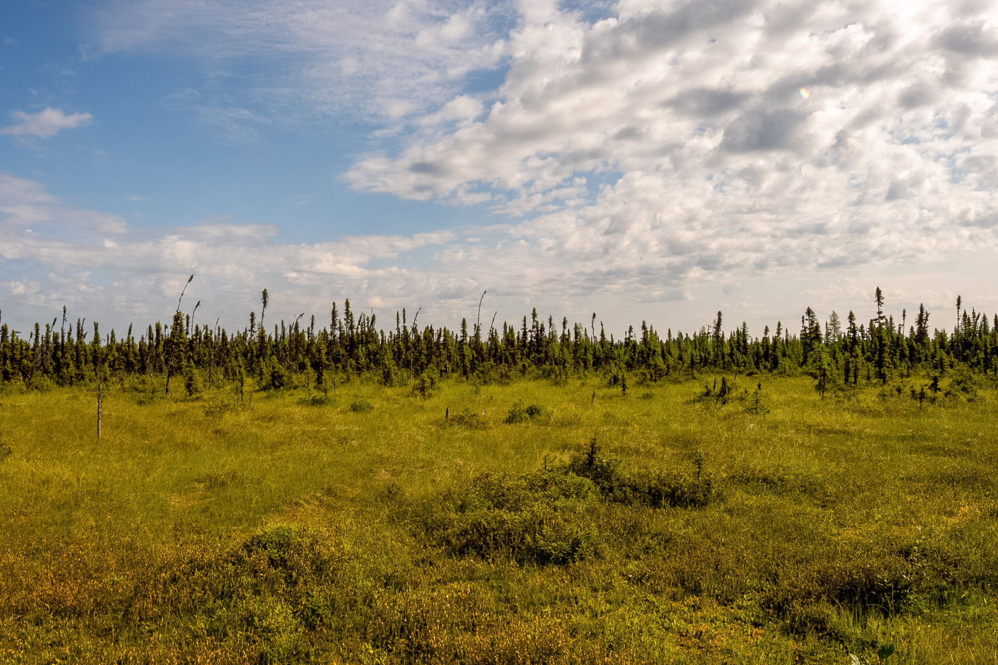
This shows the intersection of Route 1011 and Quebec 109. I'll take this forest road to the start of the Trans Limit road.
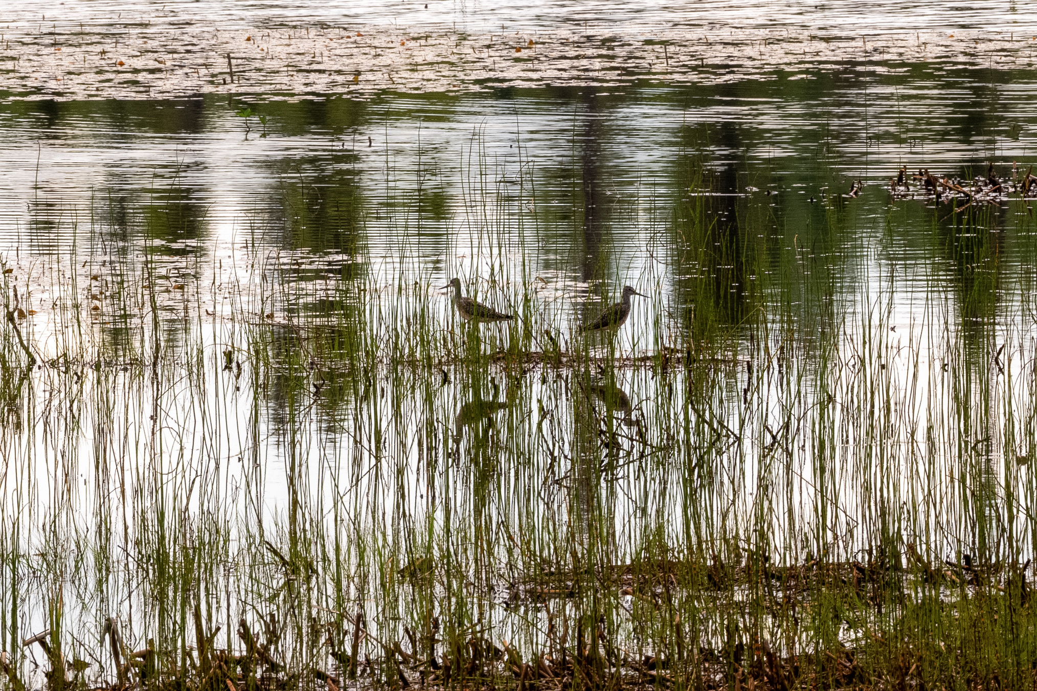
This shows 2 nesting birds, probably lesser yellow legs. They were nice and they didn't attack me.
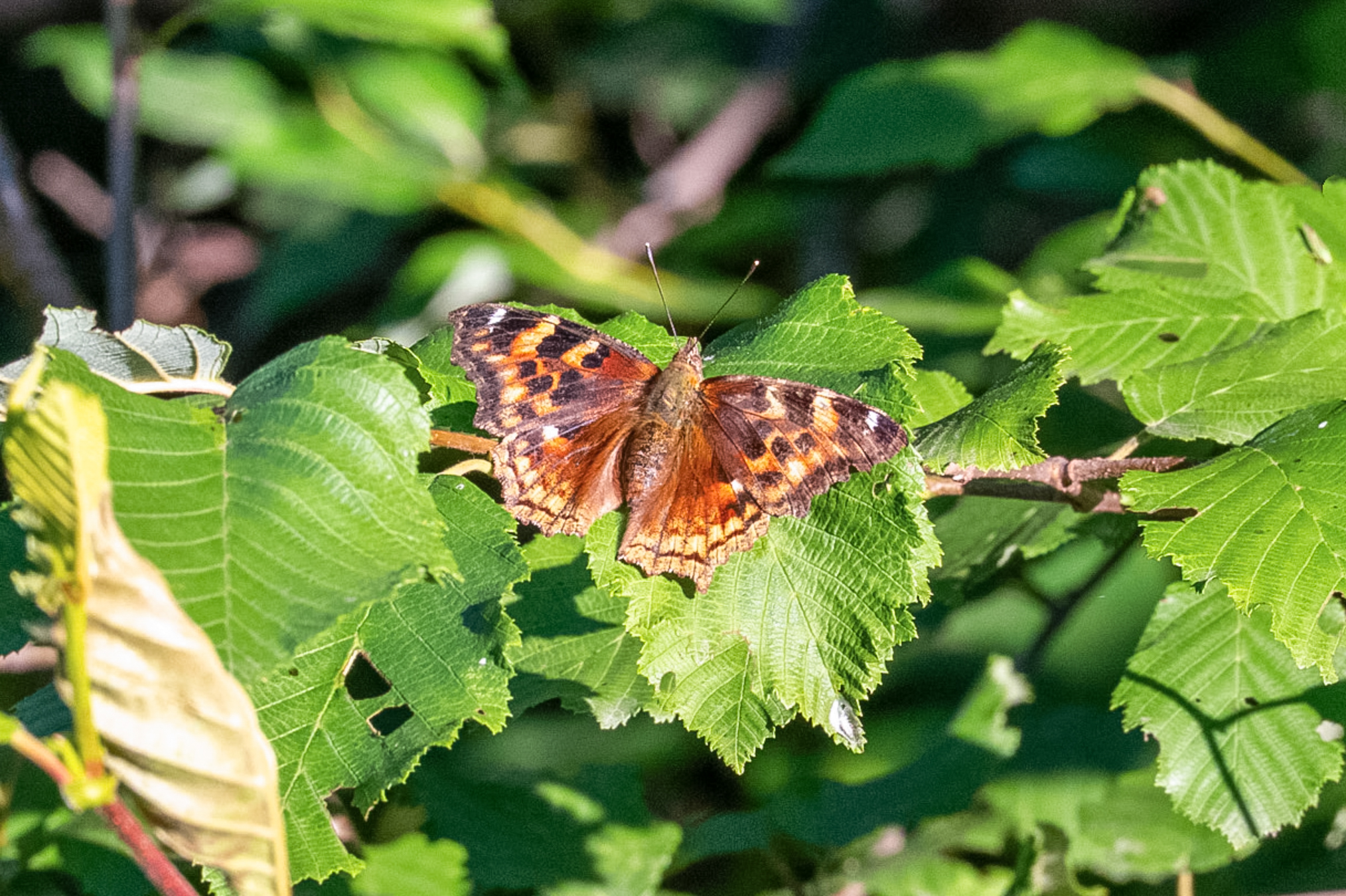
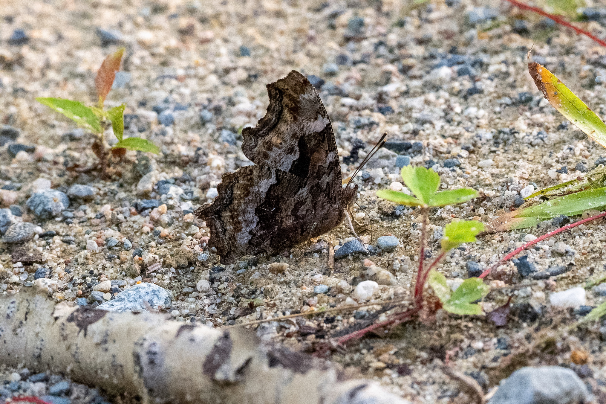
A Compton tortoiseshell. It's about 7:30 in the evening. I'm on the Crossover road, the shortcut for the Trans Limit road, at that place where I showed the big crater refill job. I was really surprised to see any butterflies at all much less than the two dozen I saw.
This photo shows another tortoiseshell basking on a nearby alder. Should mention that these were all worn individuals.
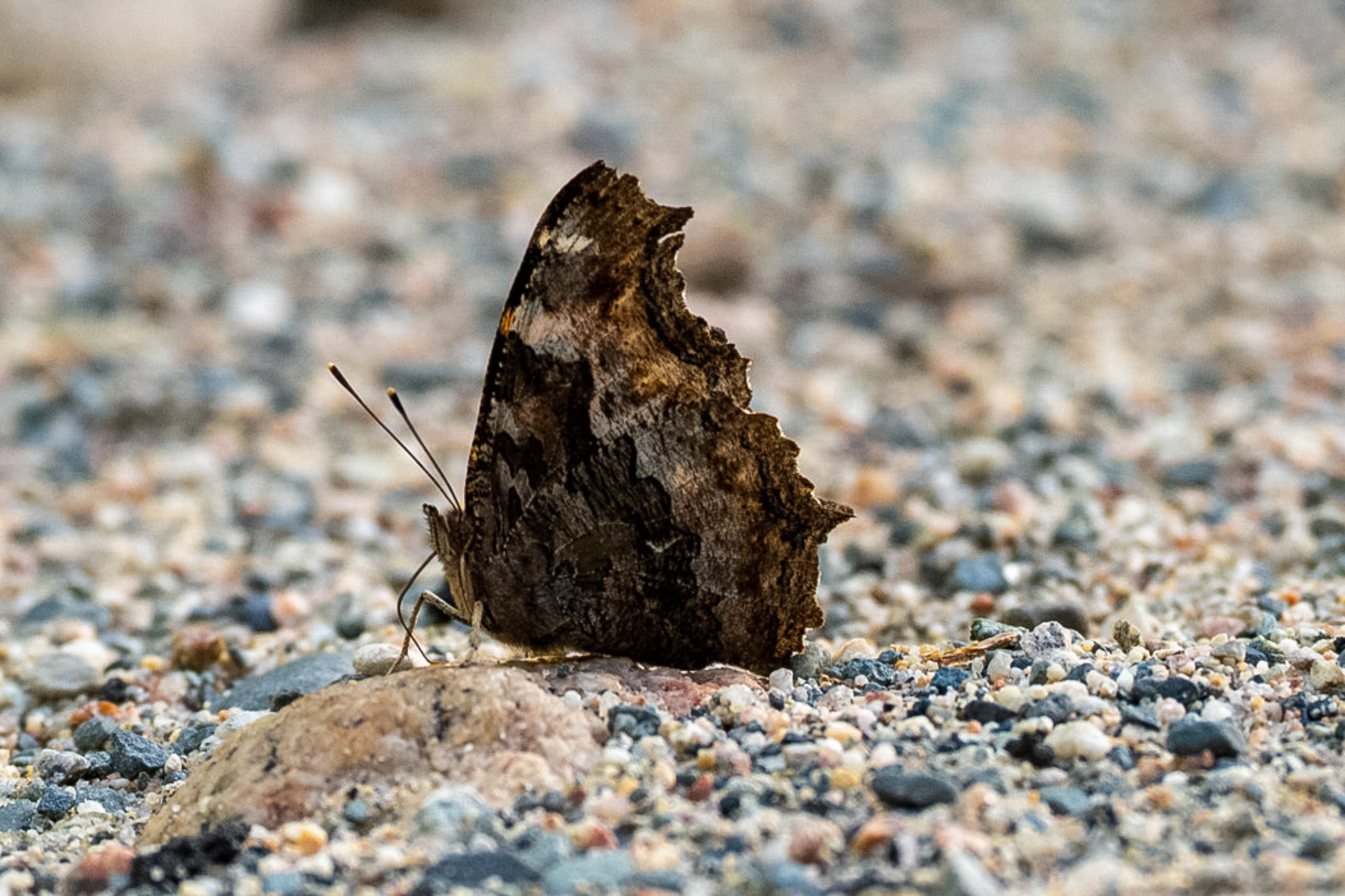
And another puddling.
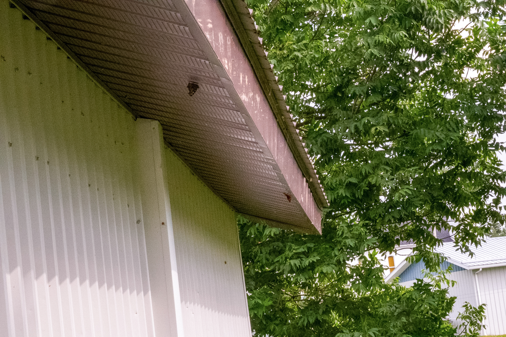
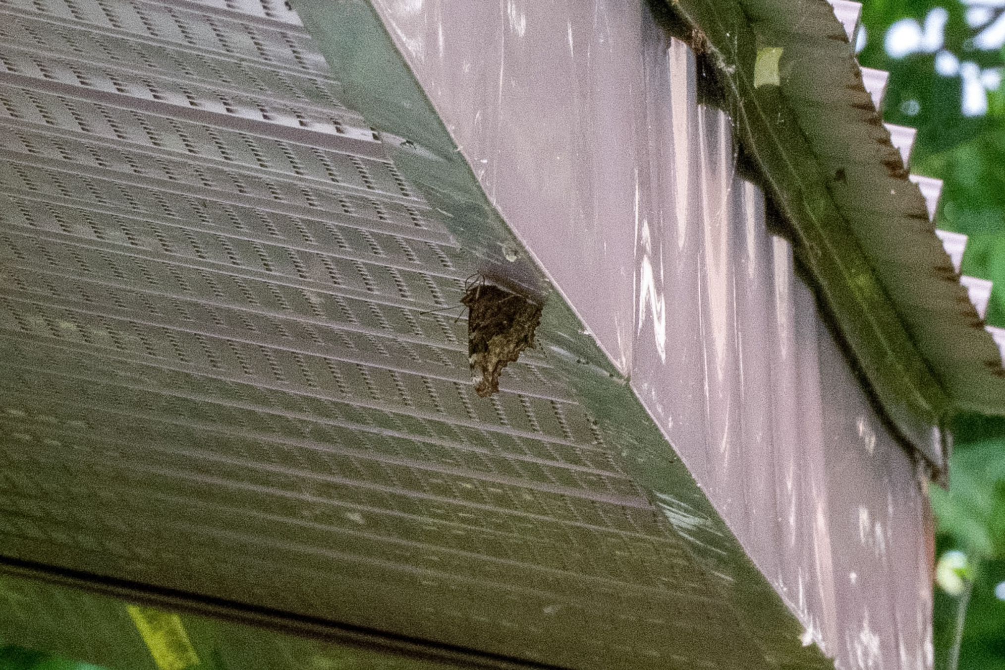
At the end of the next day, August 7th, I stopped at Mattice-Val Cote, a small town on Canada 11. This has a nice little set up, a restroom and showers that come in handy at the end of the day. I cooked my dinner, some northern pike, and cleaned up. Once again the tortoiseshells were hanging around late in the evening.
Here's another shot.
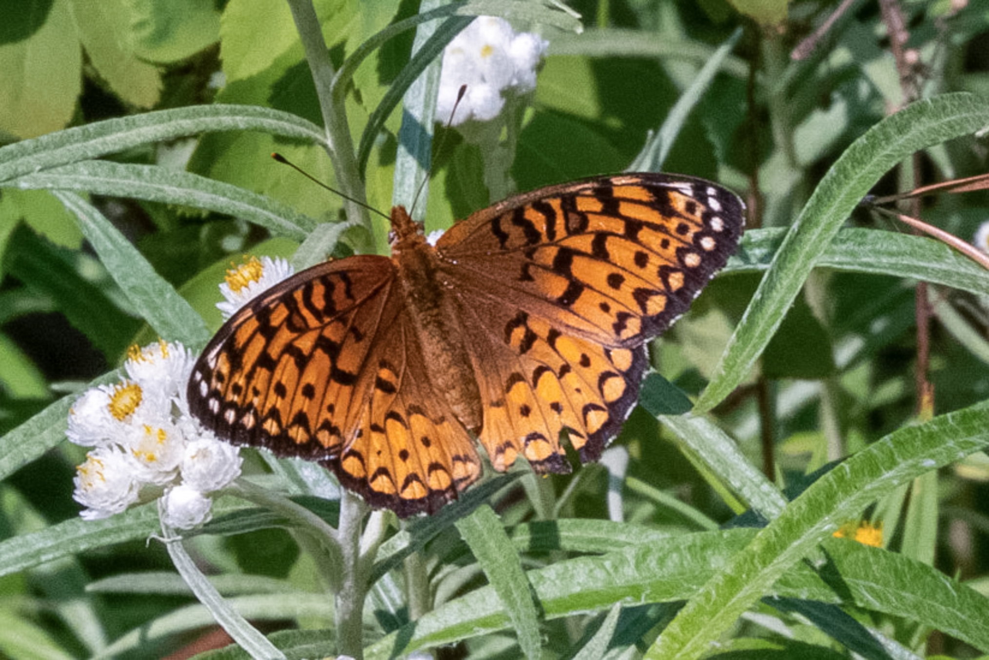
On August 8th I stopped in Thunder Bay in the morning, did some shopping and then spent a little time northwest of the town. Many of the forest roads were closed due to forest fire activity but these were very local fires. I did manage to drive one for a couple hours and while the weather was spotty it broke for a little bit late in the afternoon. I took a couple photos of A. atlantis.
End of Part C, click here for Part D.