2025 Trans Taiga trip photographs Part B
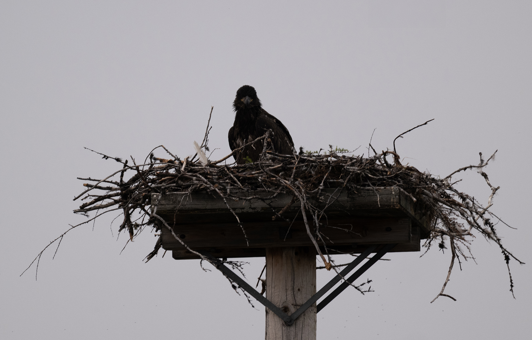
The adult had just left.
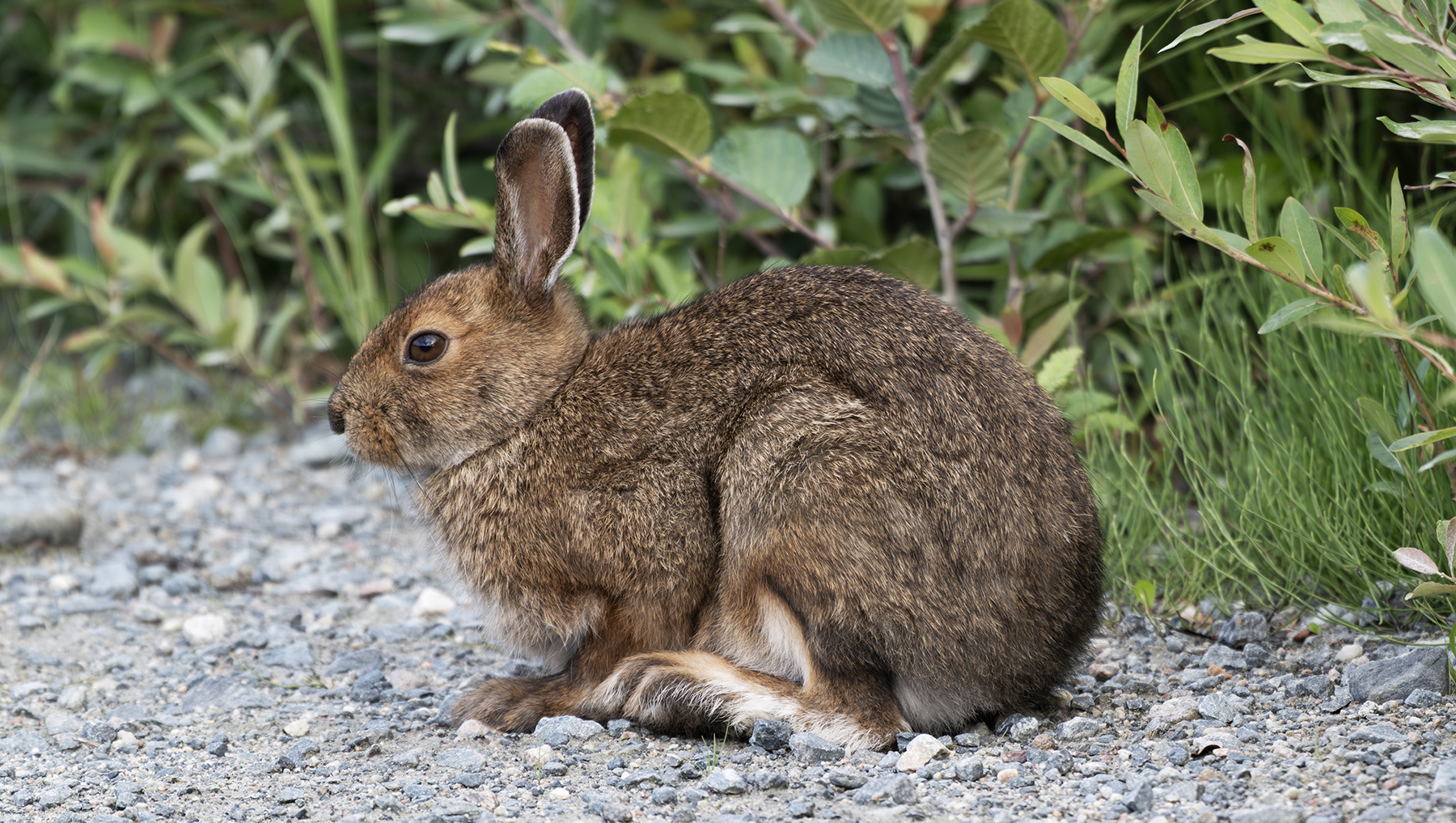
July 25, now headed east toward Brisay. Snowshoe hares were common roadside, especially morning and evening.
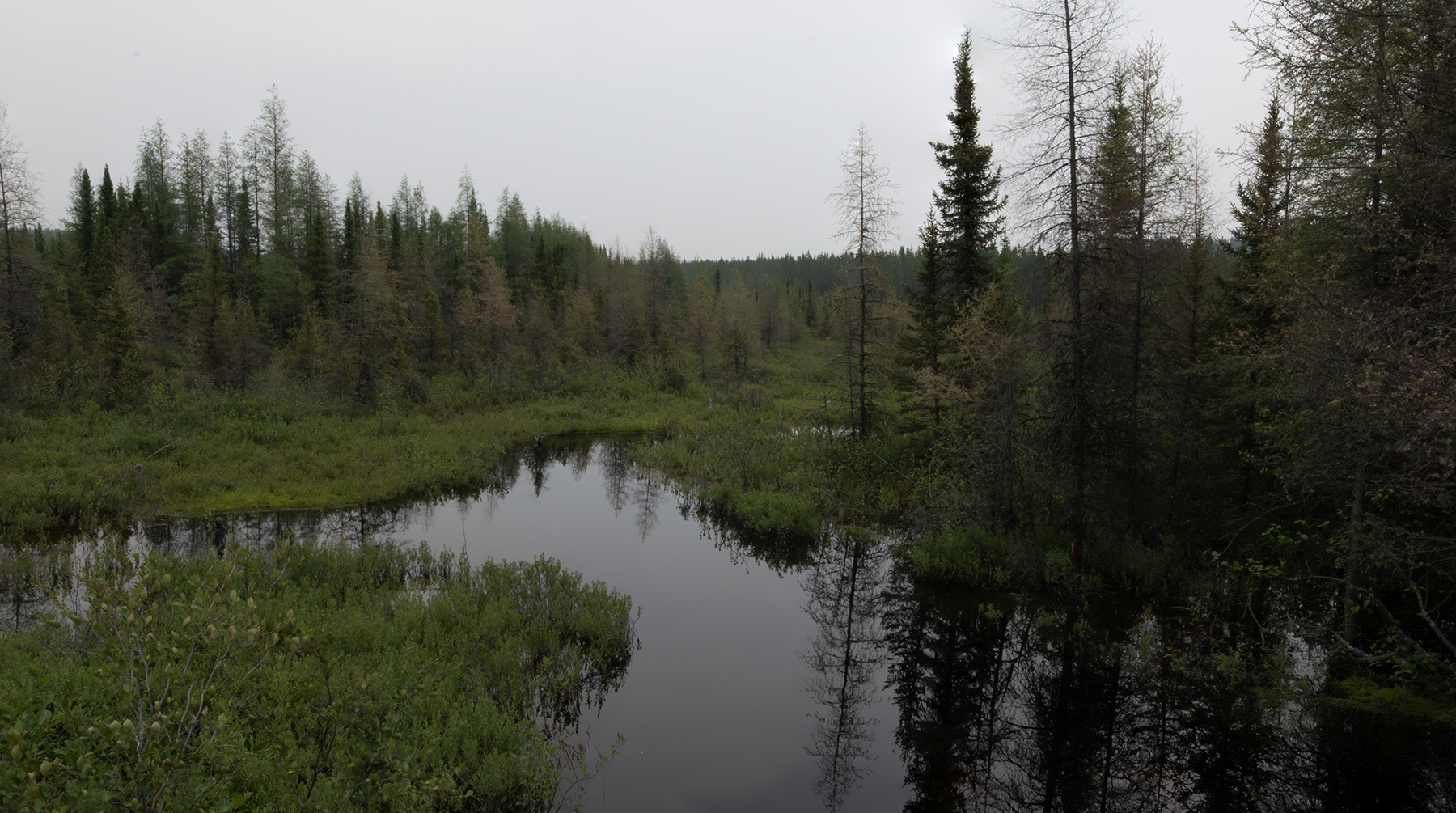
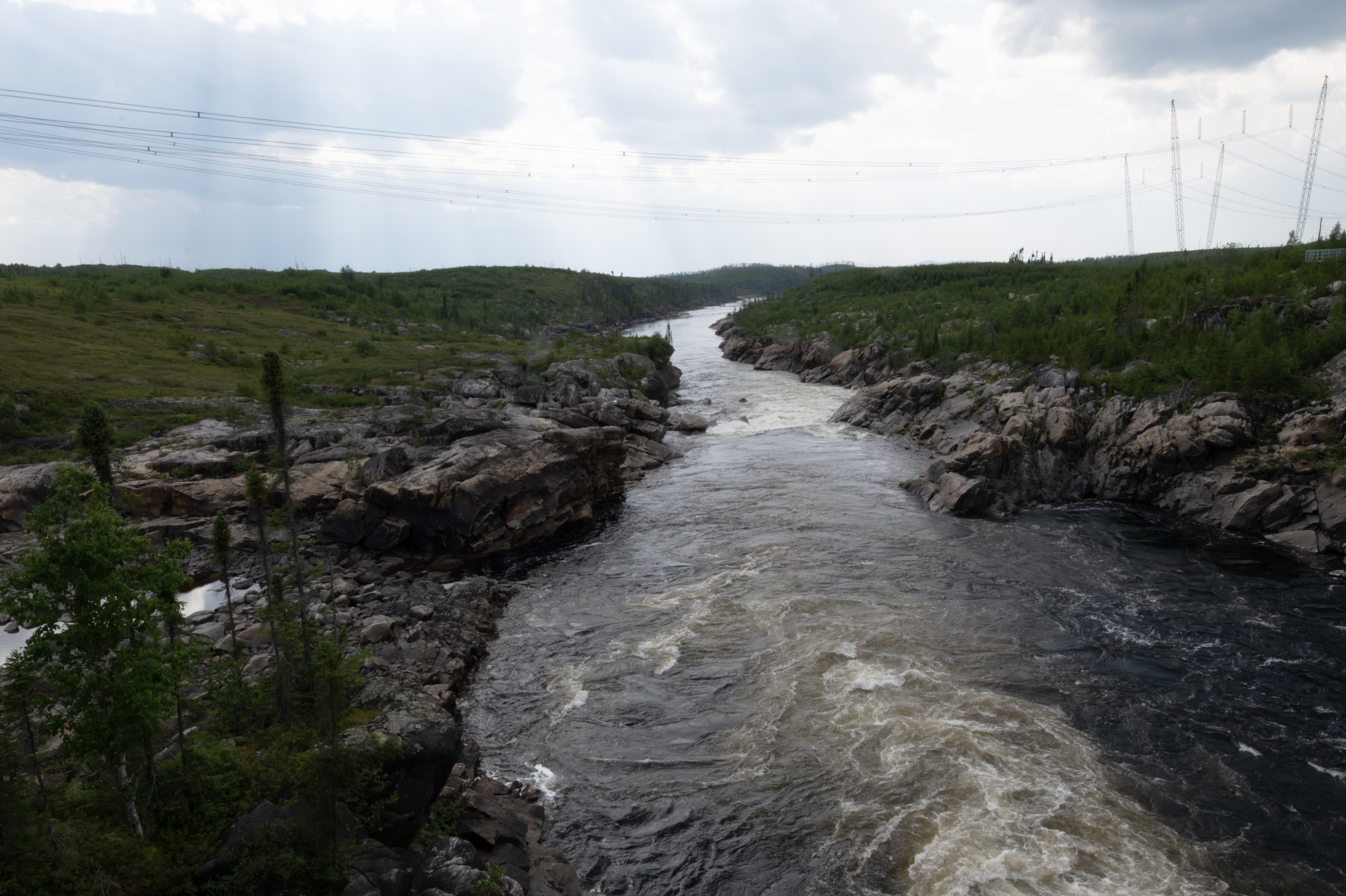
A fen that crosses the road.
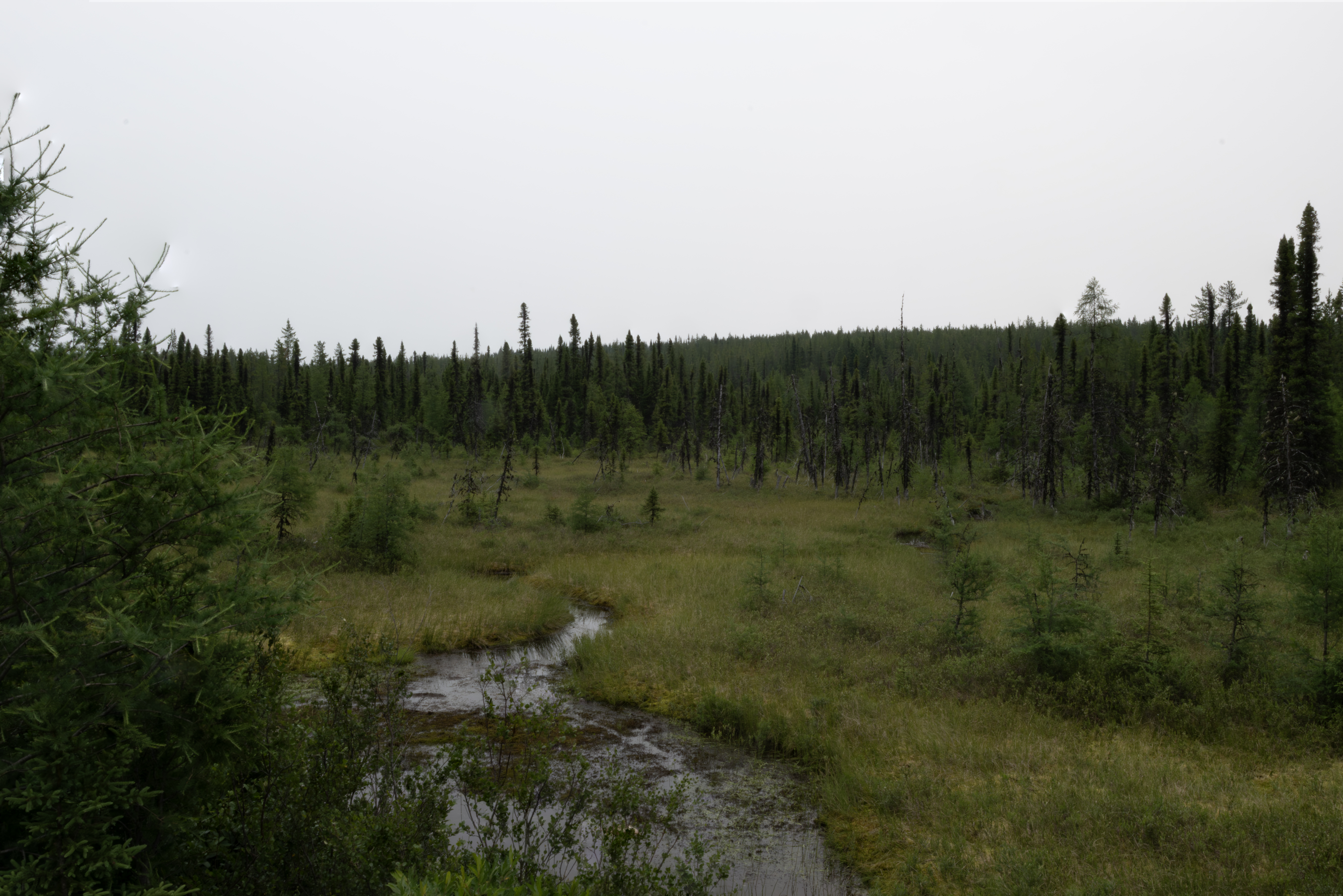
The other side of the road.
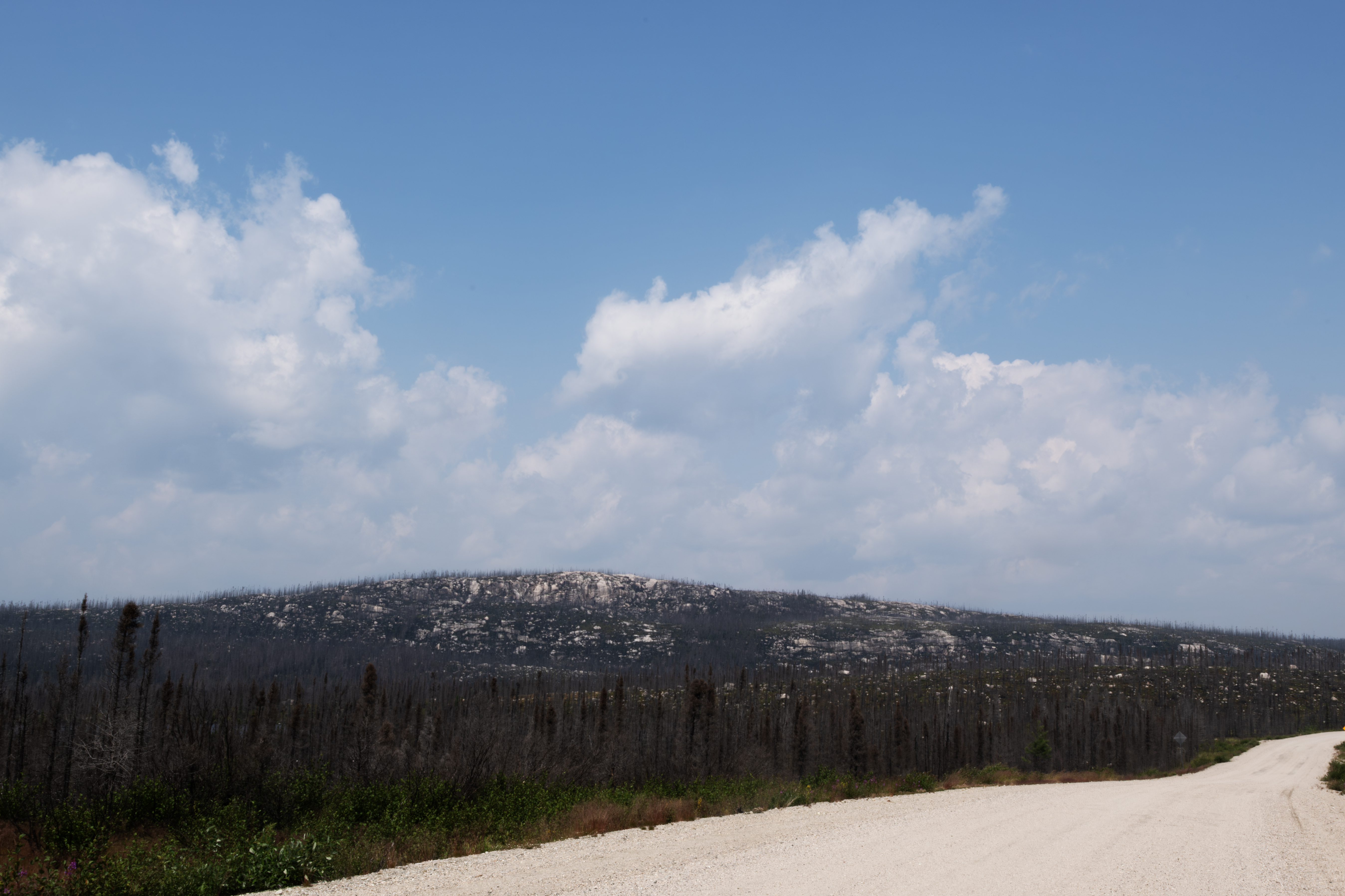
Quebec has many of these sloping hillsides, but they were tough to get a good photograph.
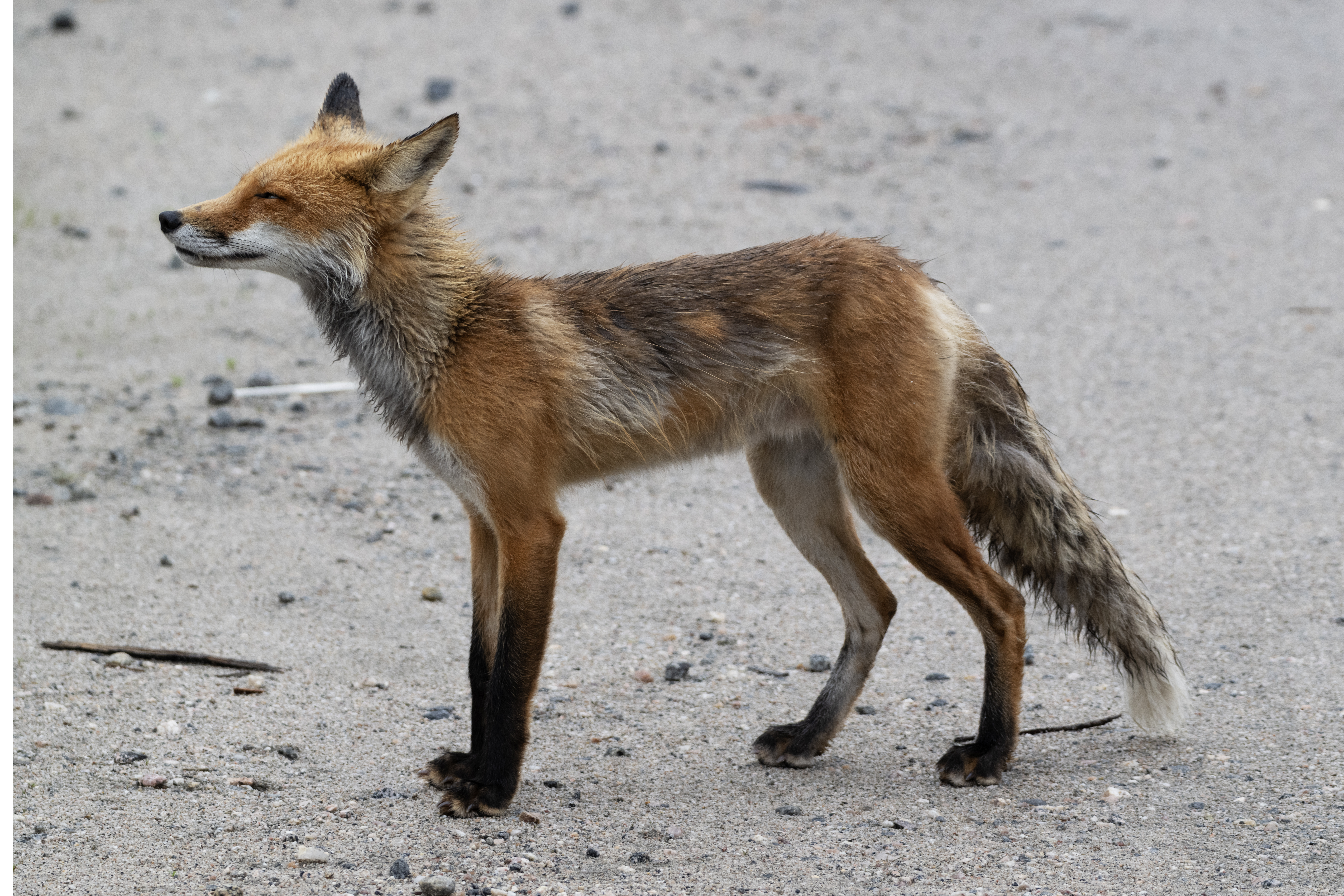
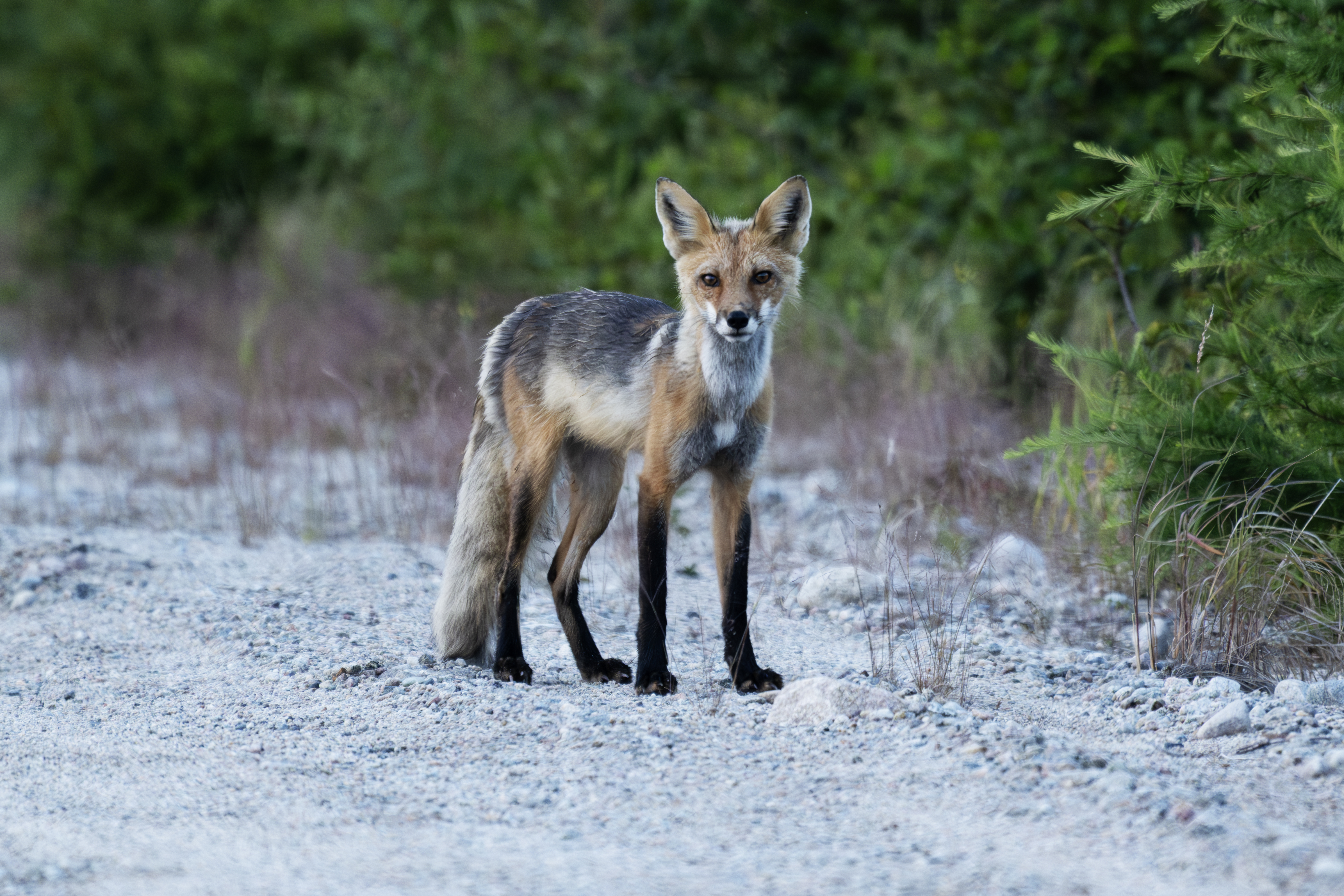
Another fox, near the truck.
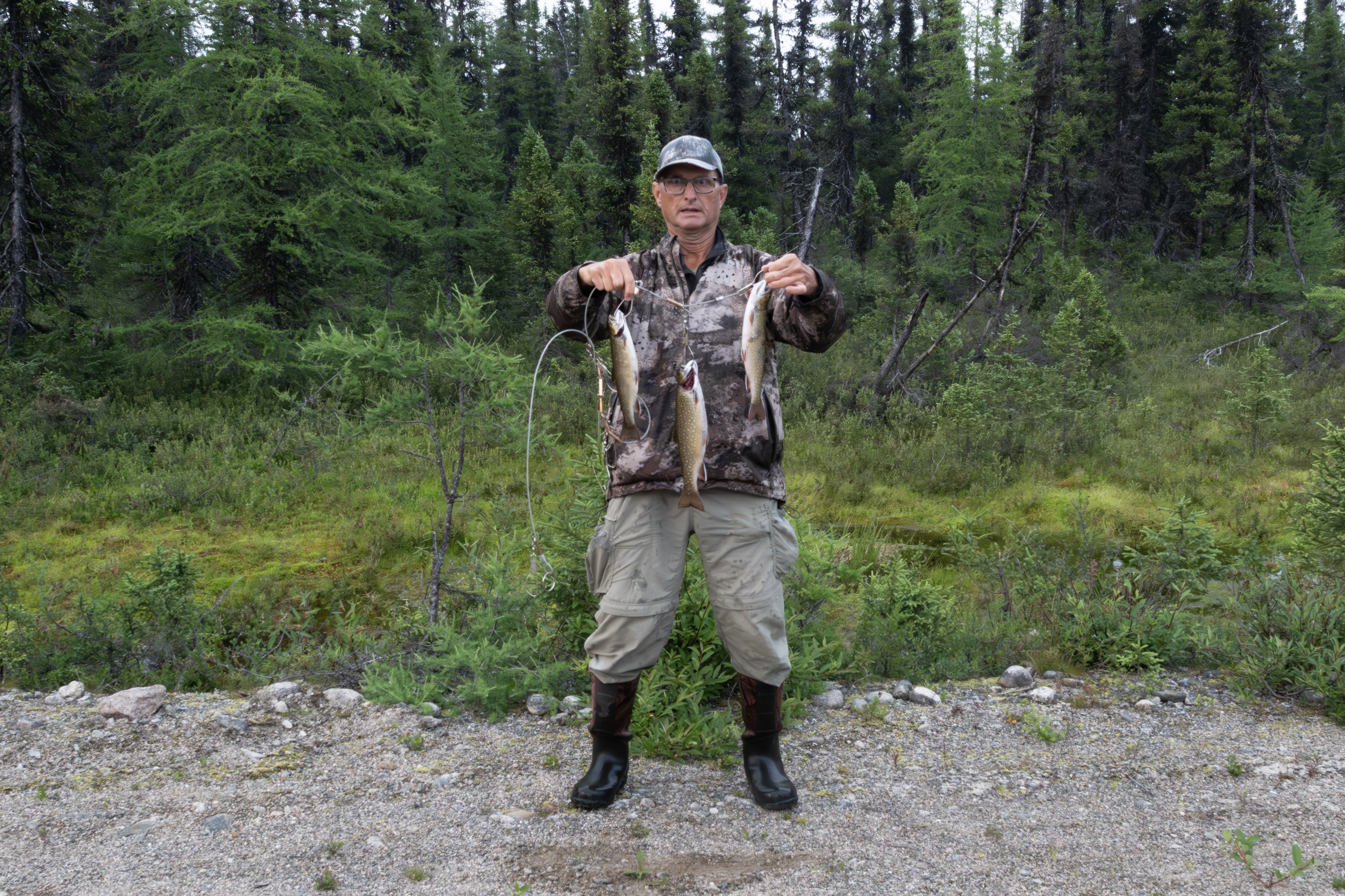
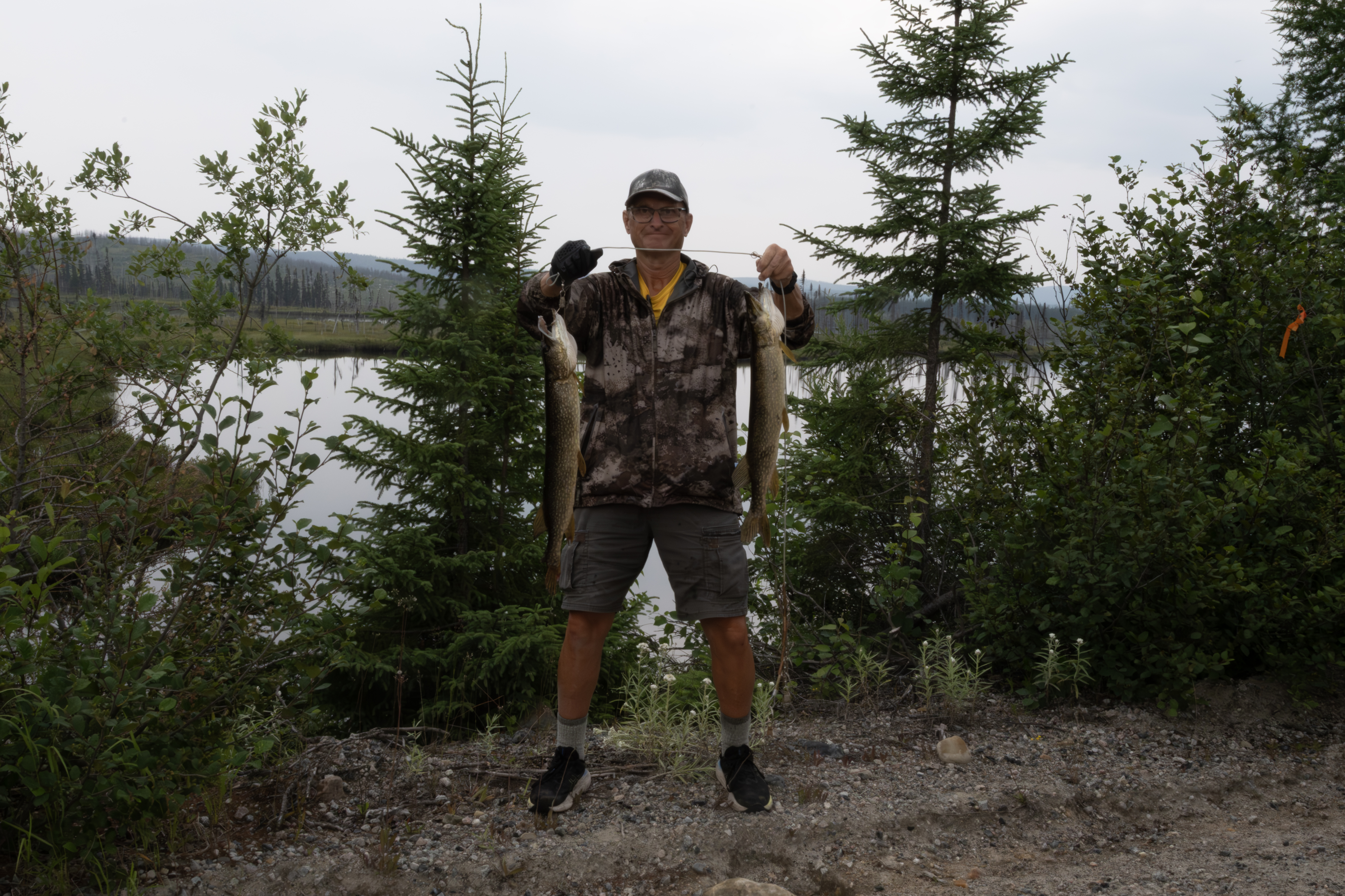
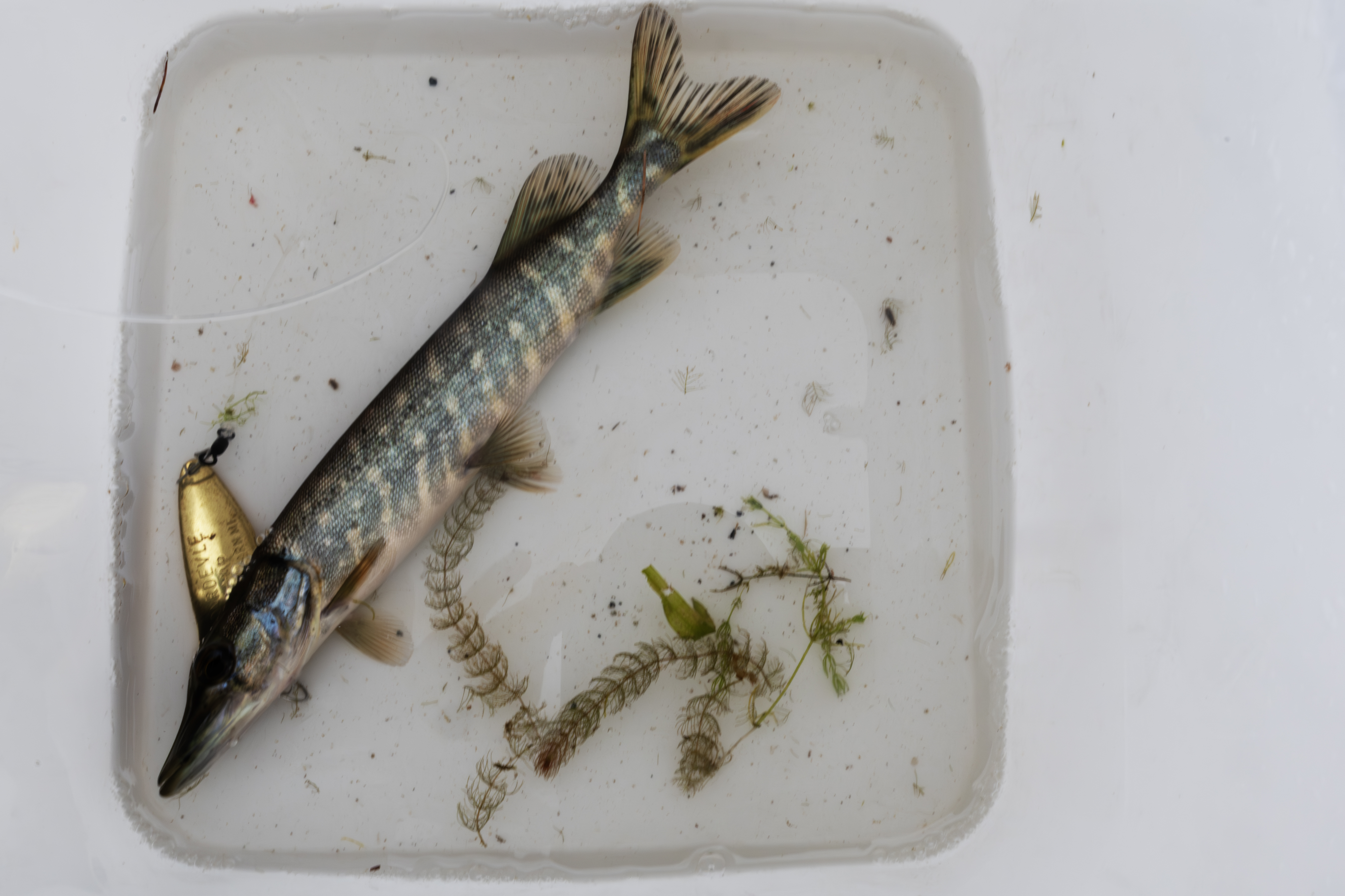
Three small Brook Trout, which I really worked for on a rainy Saturday afternoon, July 26th. Once again, found these in the rapids at a creek crossing.
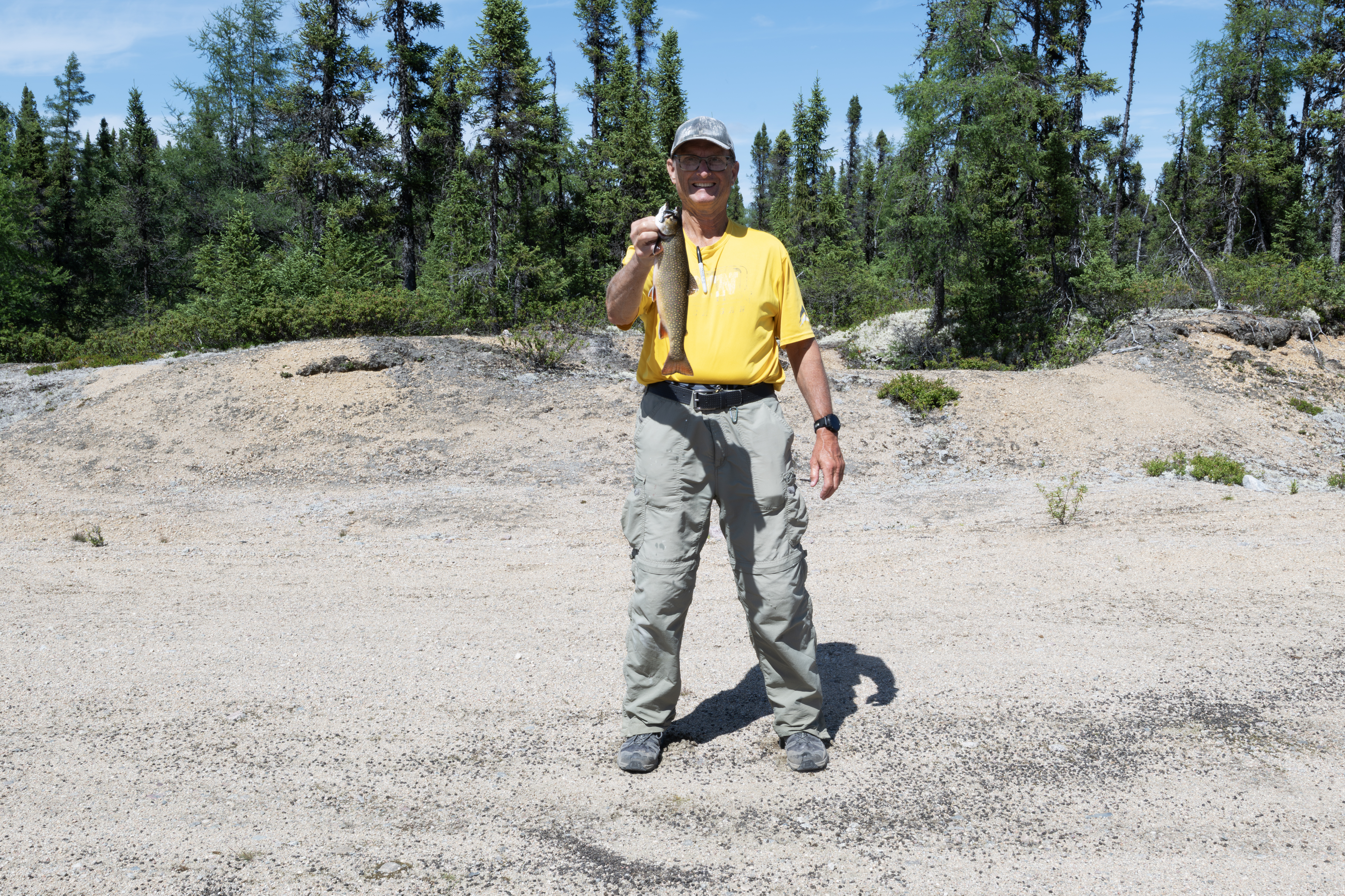
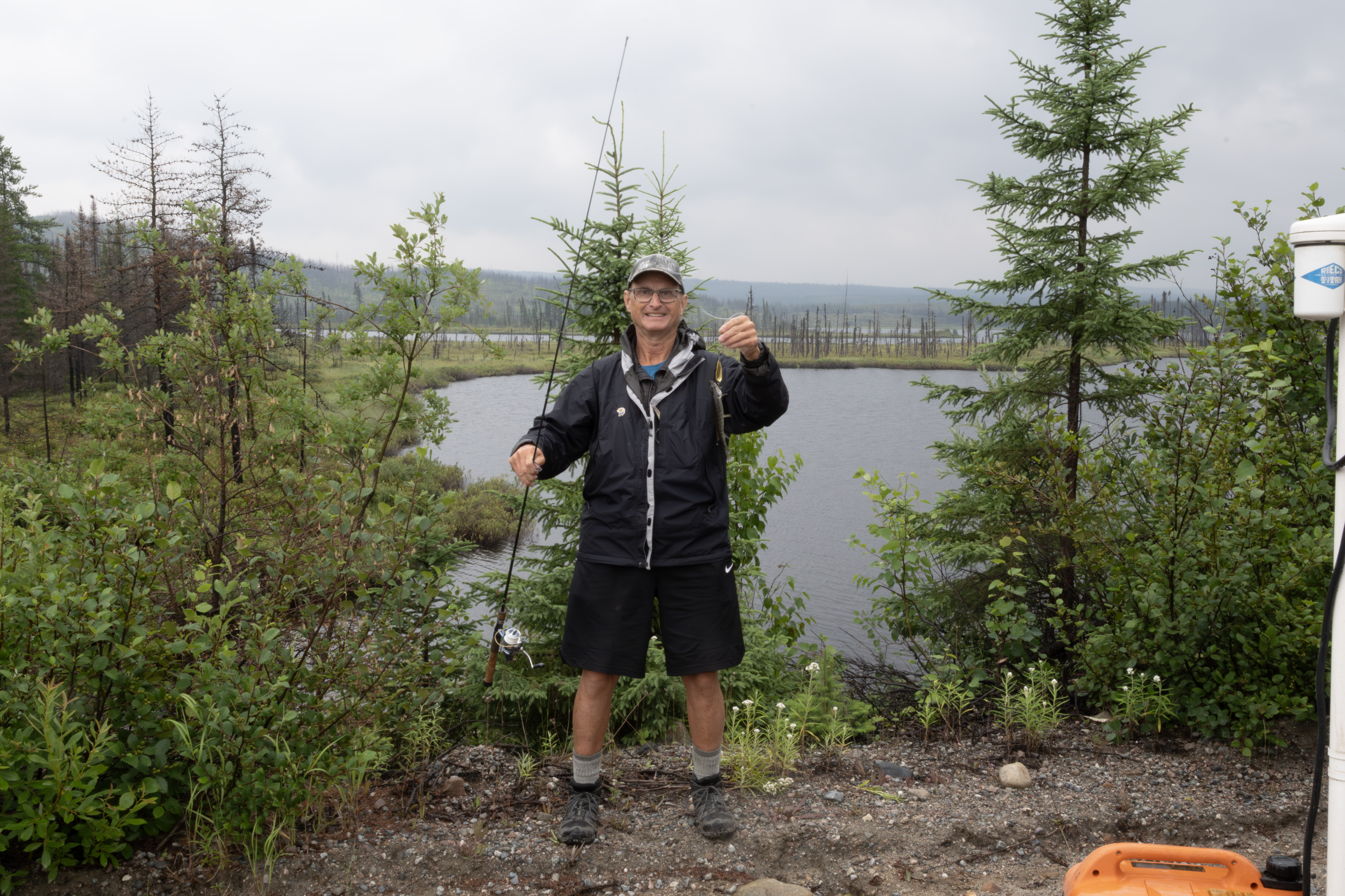
A really nice Brook Trout caught at the south culvert. I had to switch the lure 5 times before this female finally took a grub.
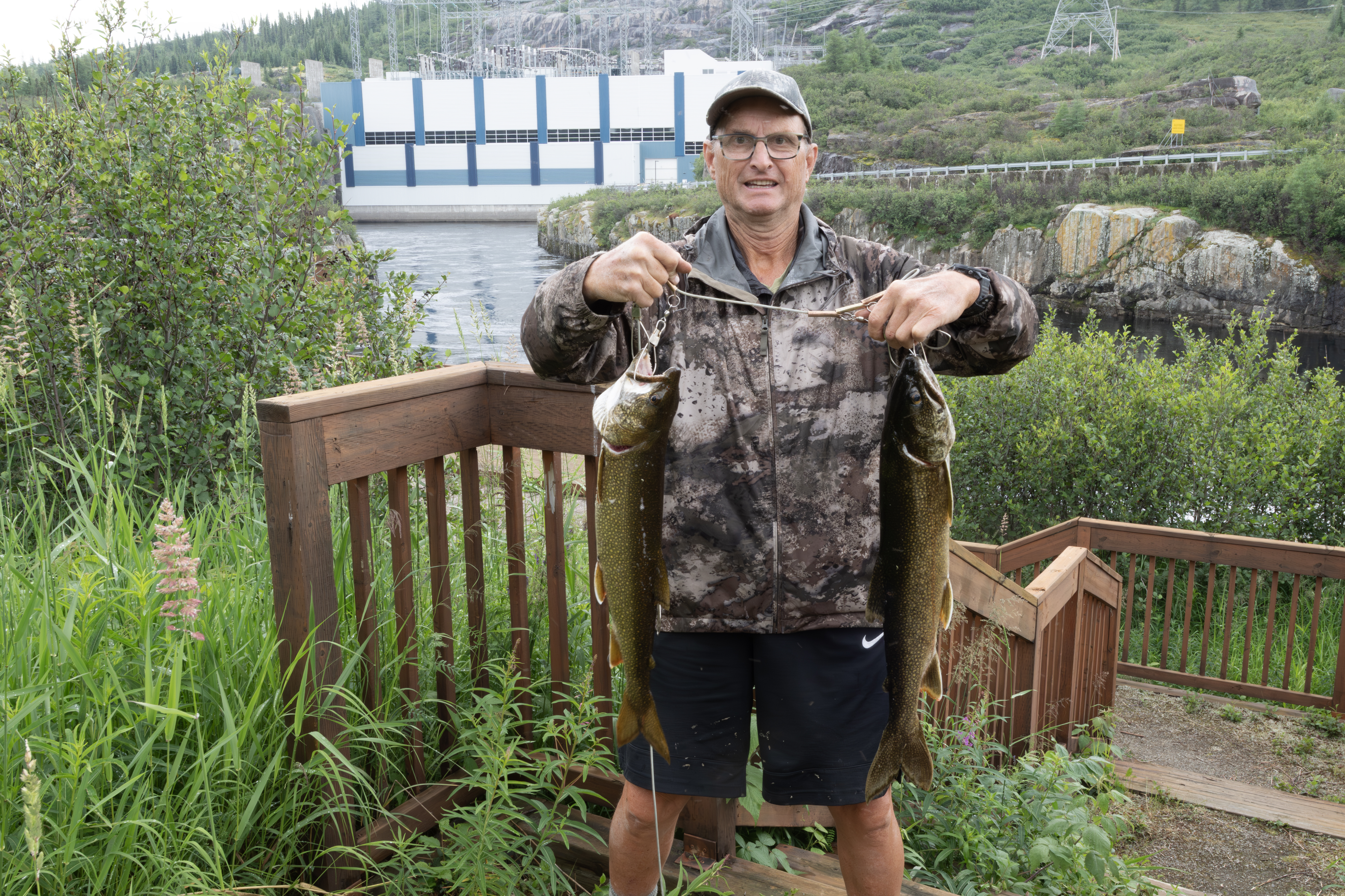
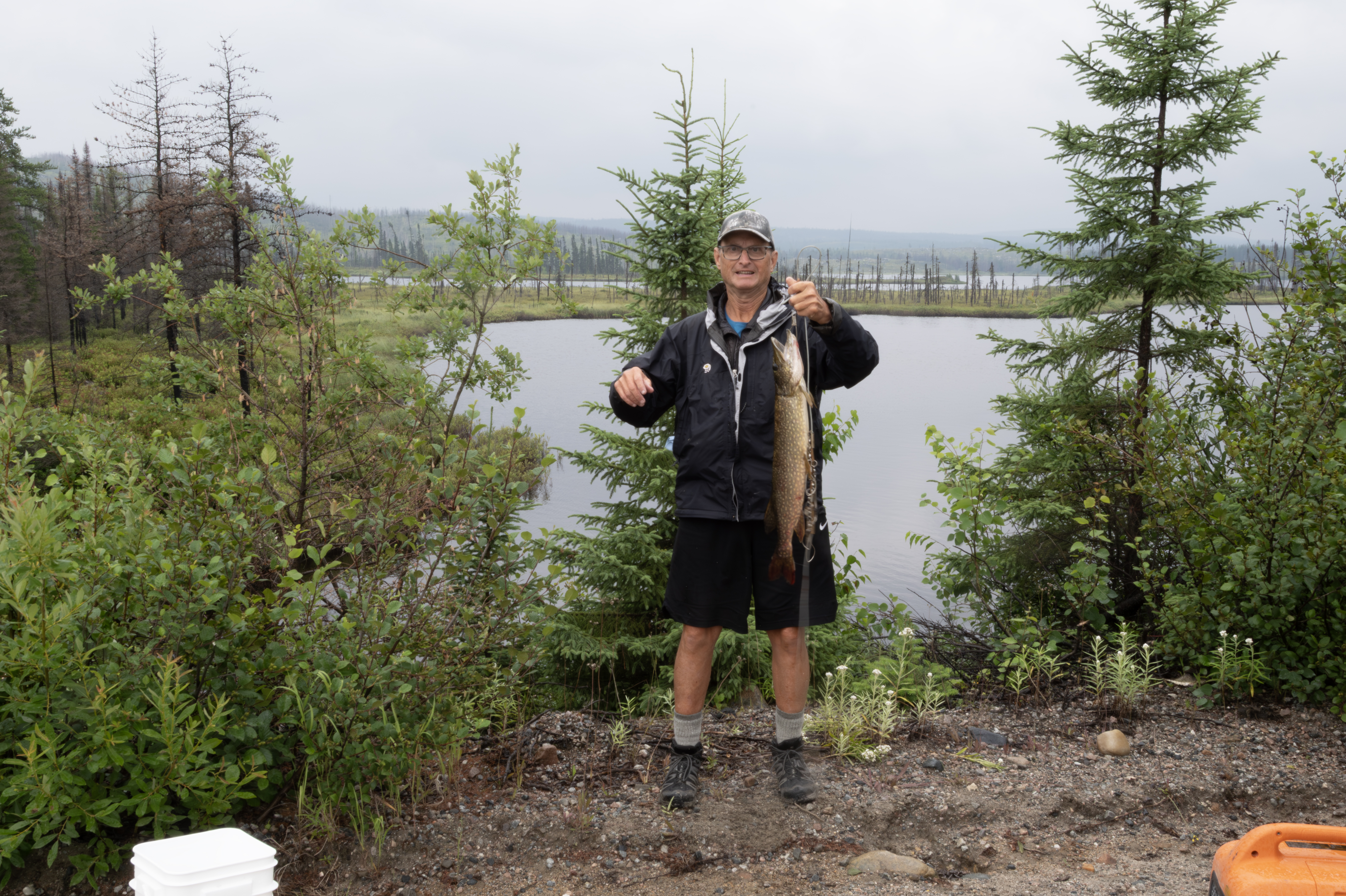
Now at the dam at Brisay. Caught 3 Lake Trout on this overcast day, all on a five-of-diamonds lure. They are from 25-28 inches. Caught these in the overflow channel just above where the water meets the dam flow through.
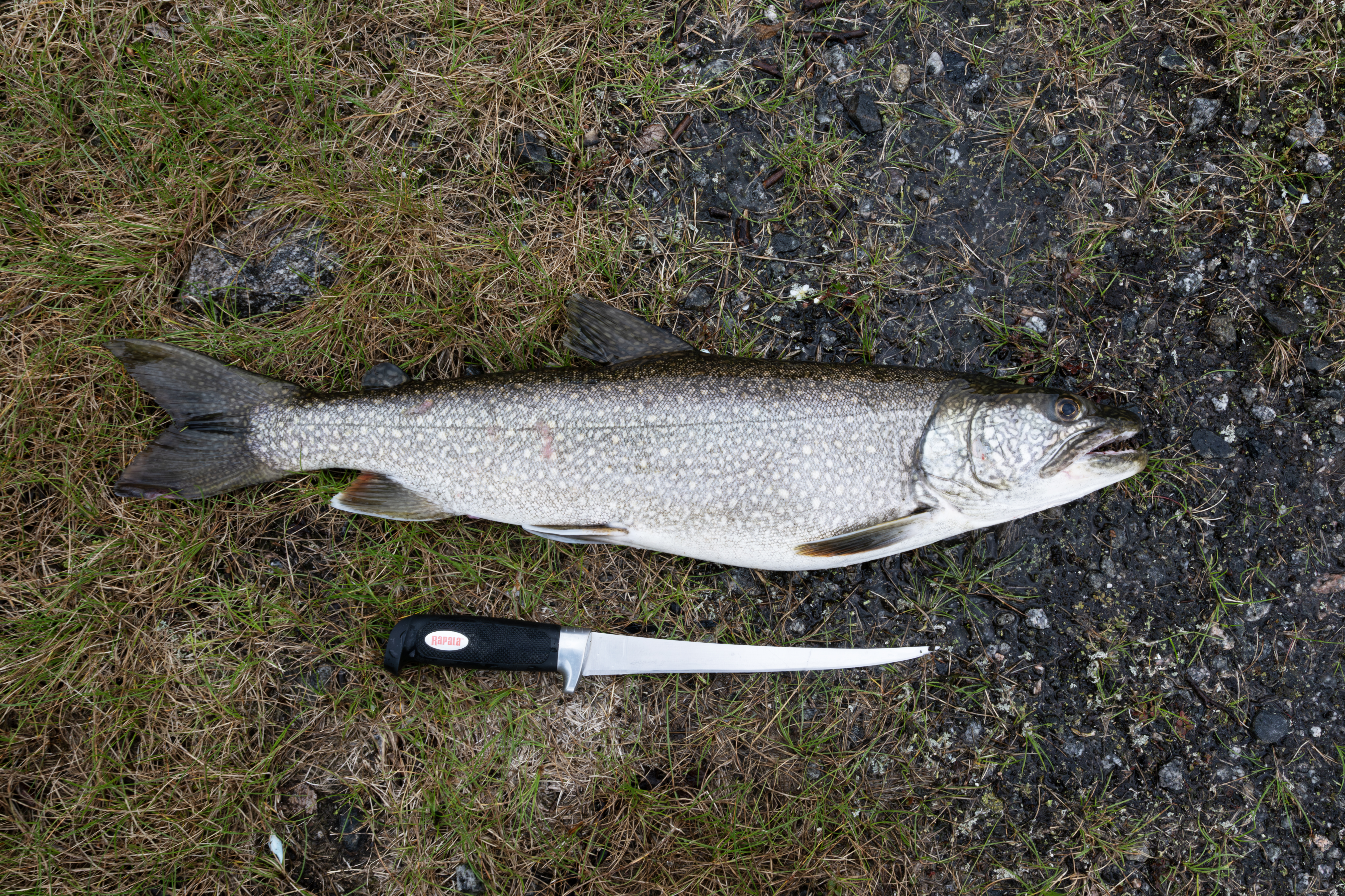
Here is the third Lake Trout.
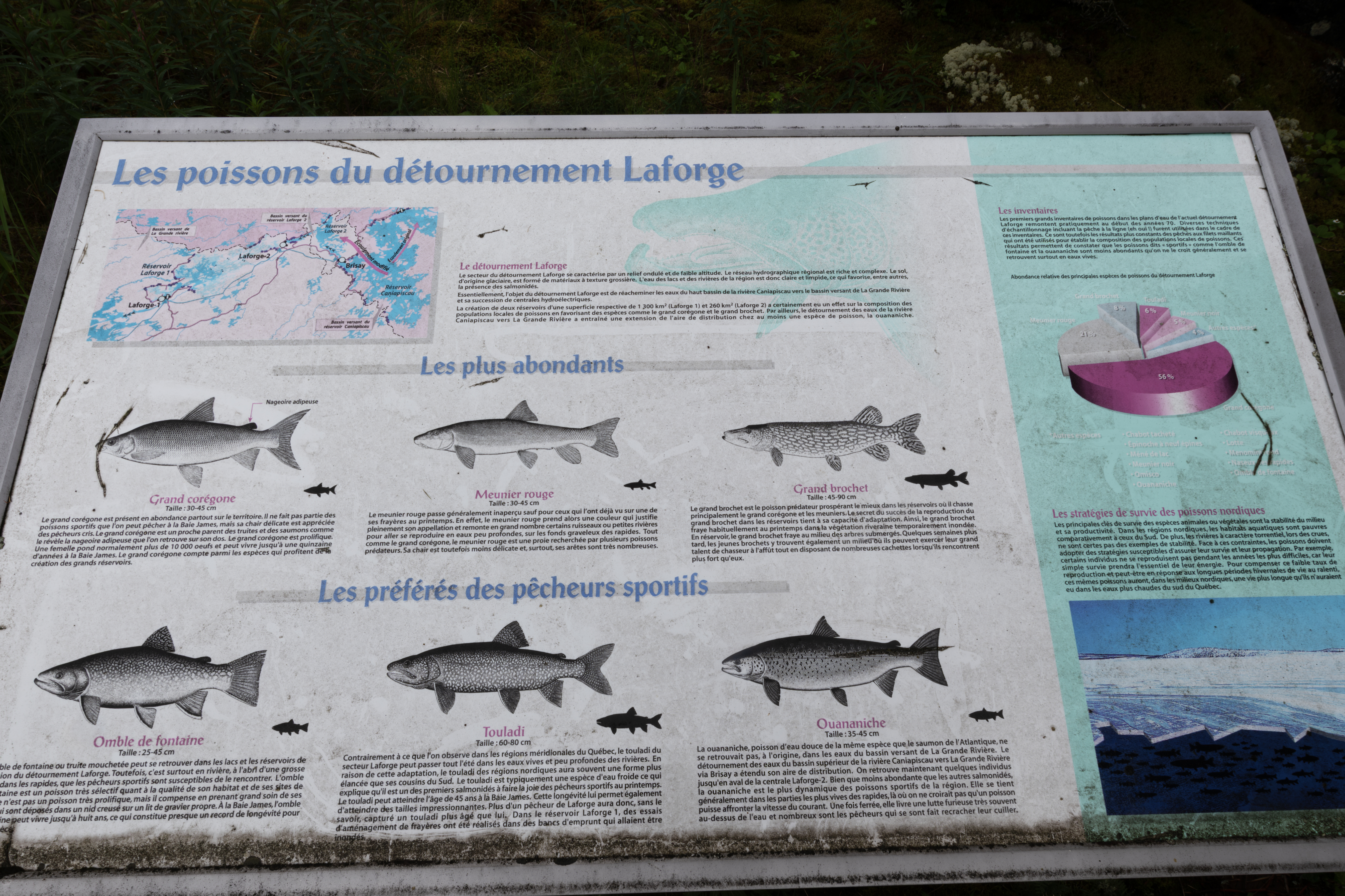
I caught these below an observation deck just near the dam, as you can see. This information sign was posted listing 6 common fish, in French. From top left to bottom right, Lake Whitefish, Long-nose Sucker, Northern Pike, Brook Trout, Lake Trout, and Atlantic Salmon.
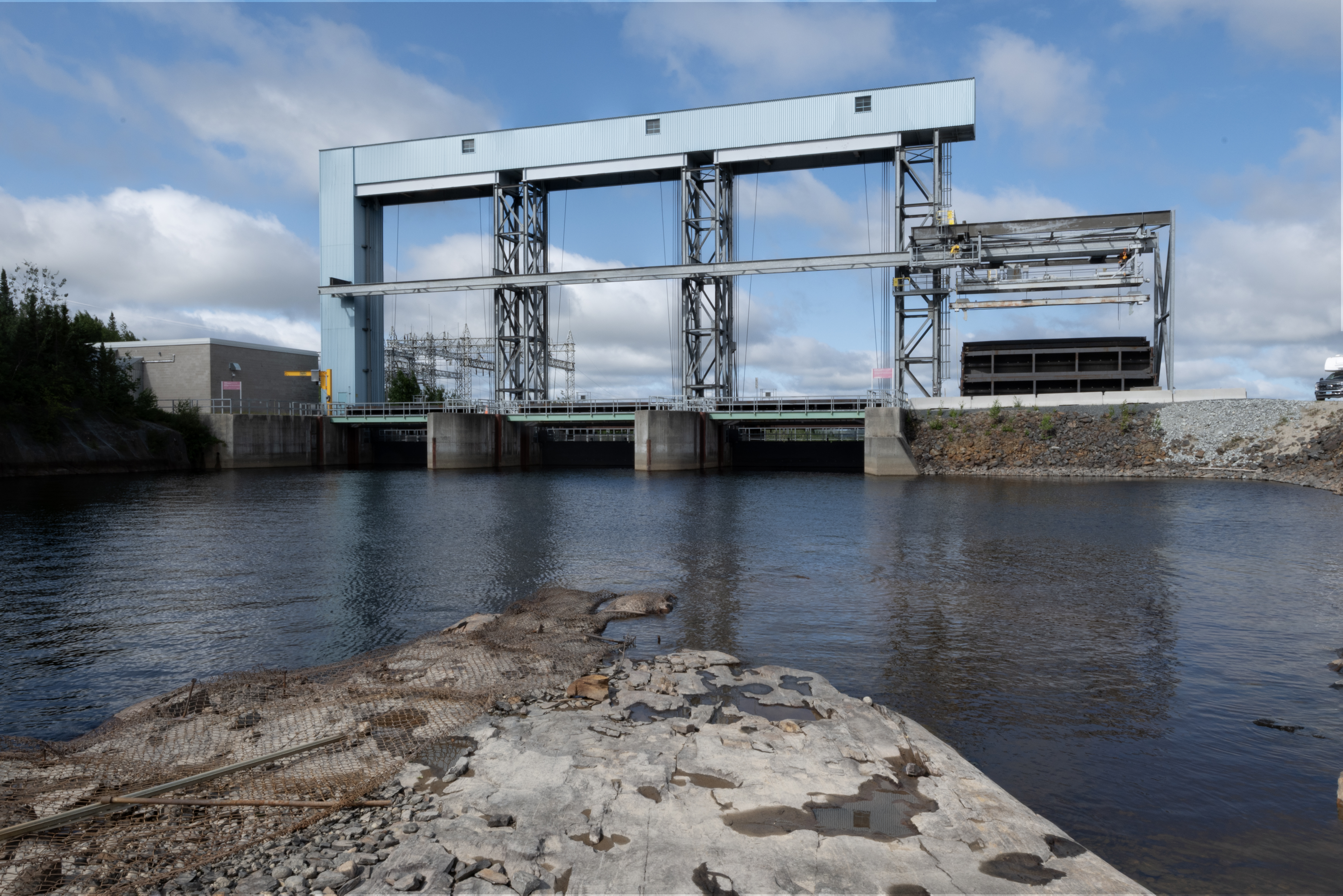
Here are 3 photographs of the observation deck. This first highlights the hydroelectric power plant.
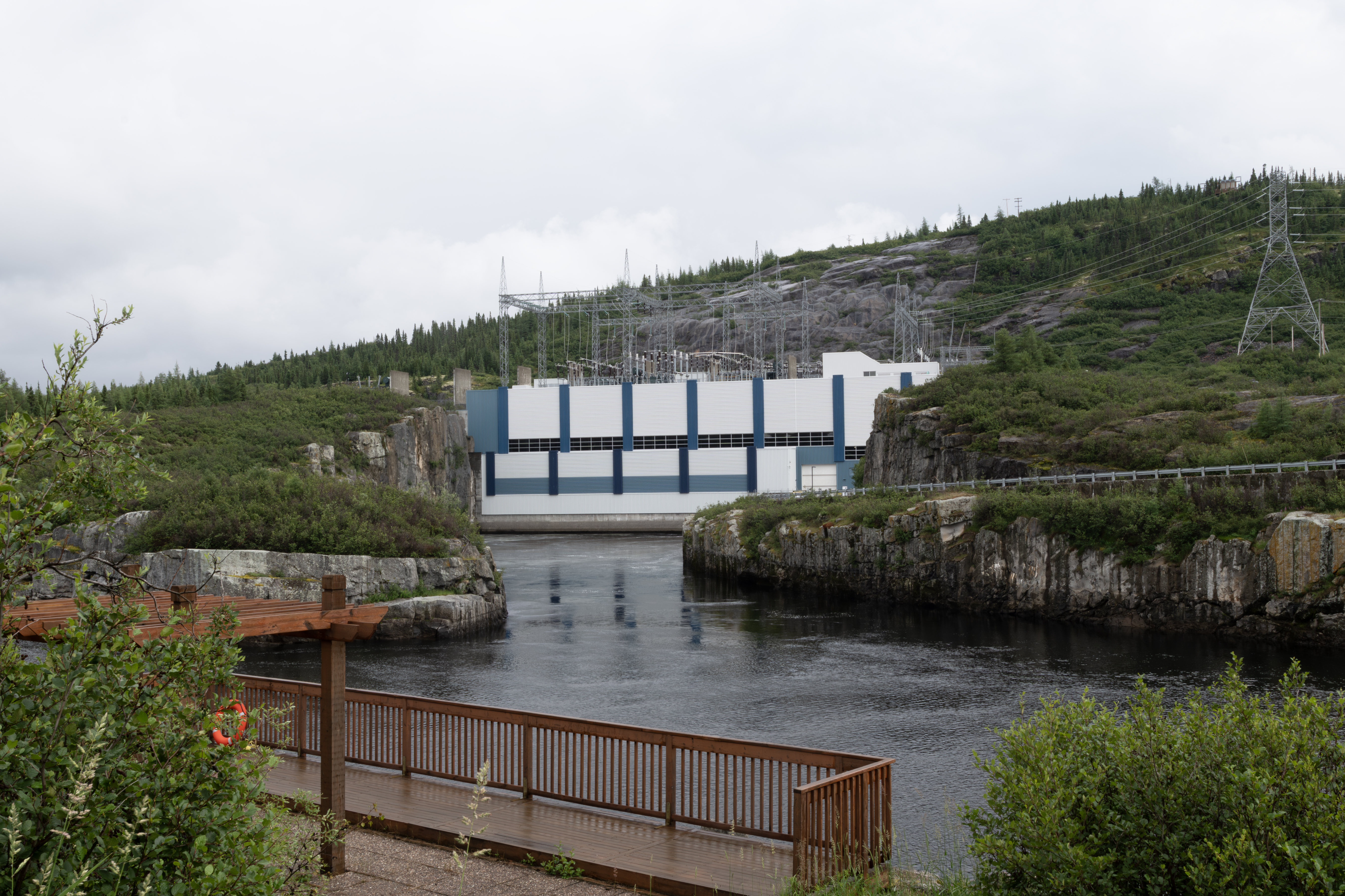
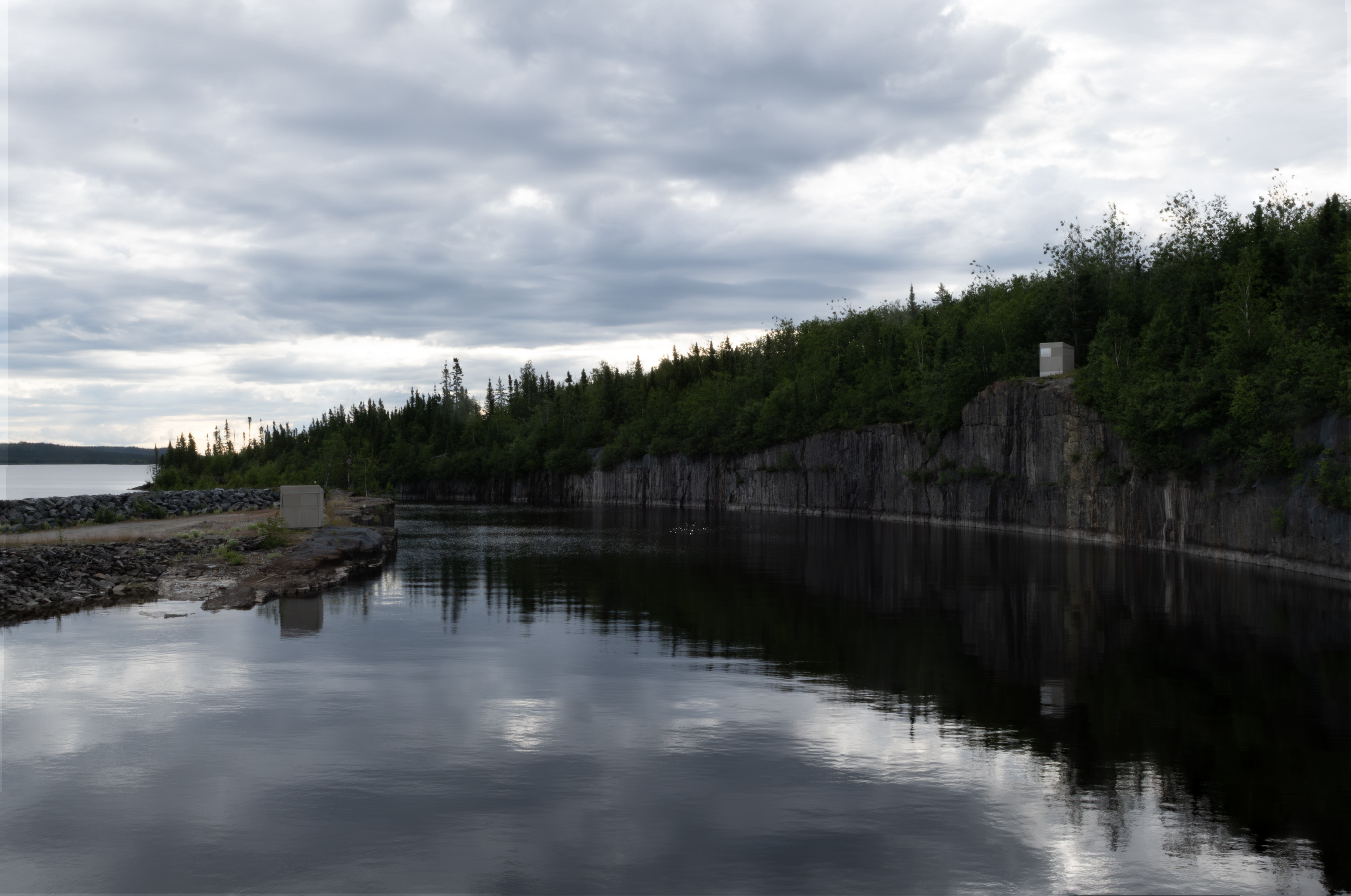
This photograph highlights the overflow channel, on the left, where I caught the Lakers, just where it meets the dam flow through. There is no path down, just a scramble over big rocks, and it gets a little dicey at the bottom, with large flat wet and slippery rocks, so one needs to be careful. Not sure I have many years left to fish here!
Closer shot of the hydroelectric power plant. I took my boat up the left channel in 2018, cautiously.
On July 30, I left the Trans Taiga for the 381 km rest stop. A rainy day, and I photographed this wet hare.
This one was not easily spooked, and seemed curious.
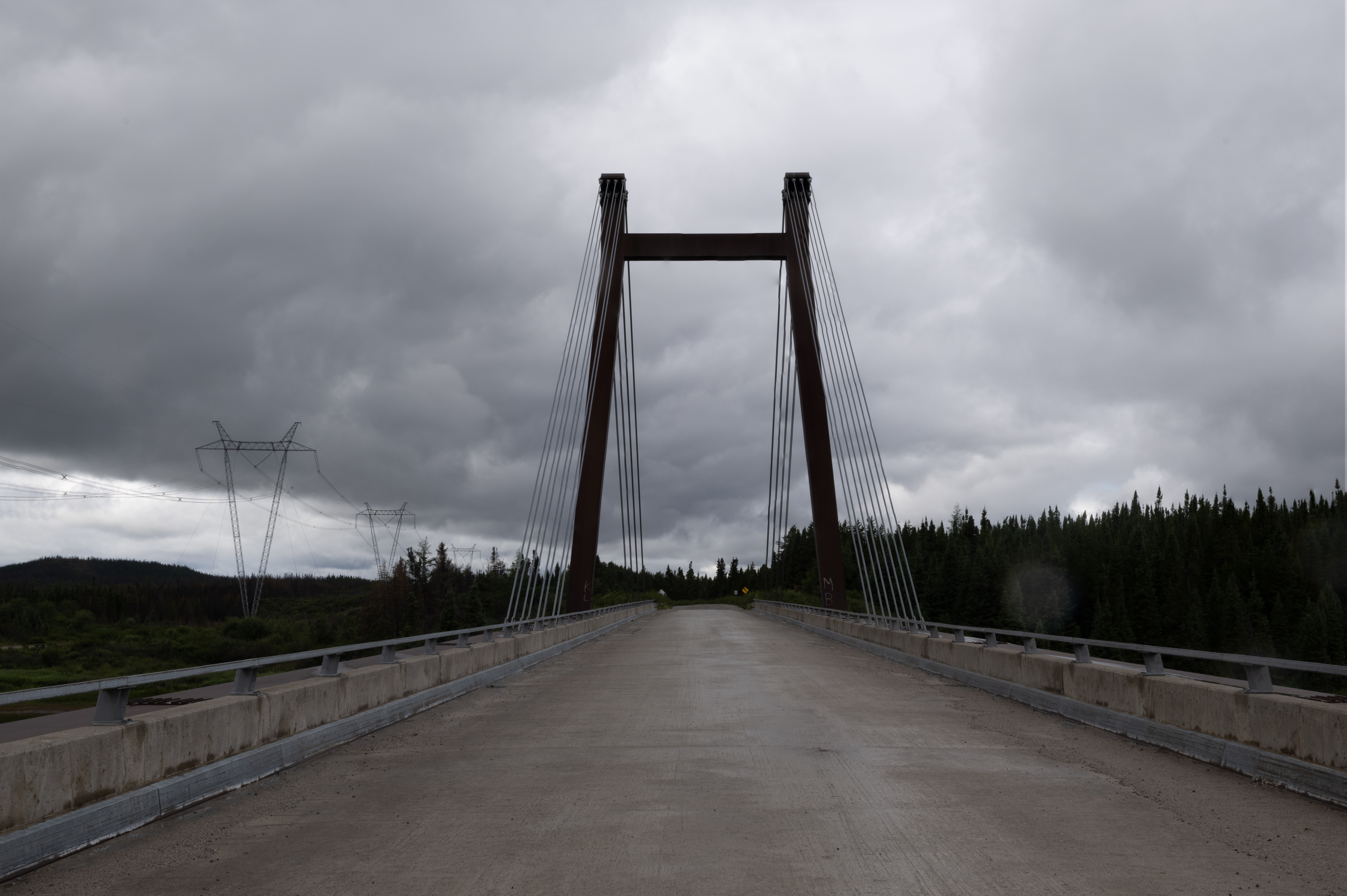
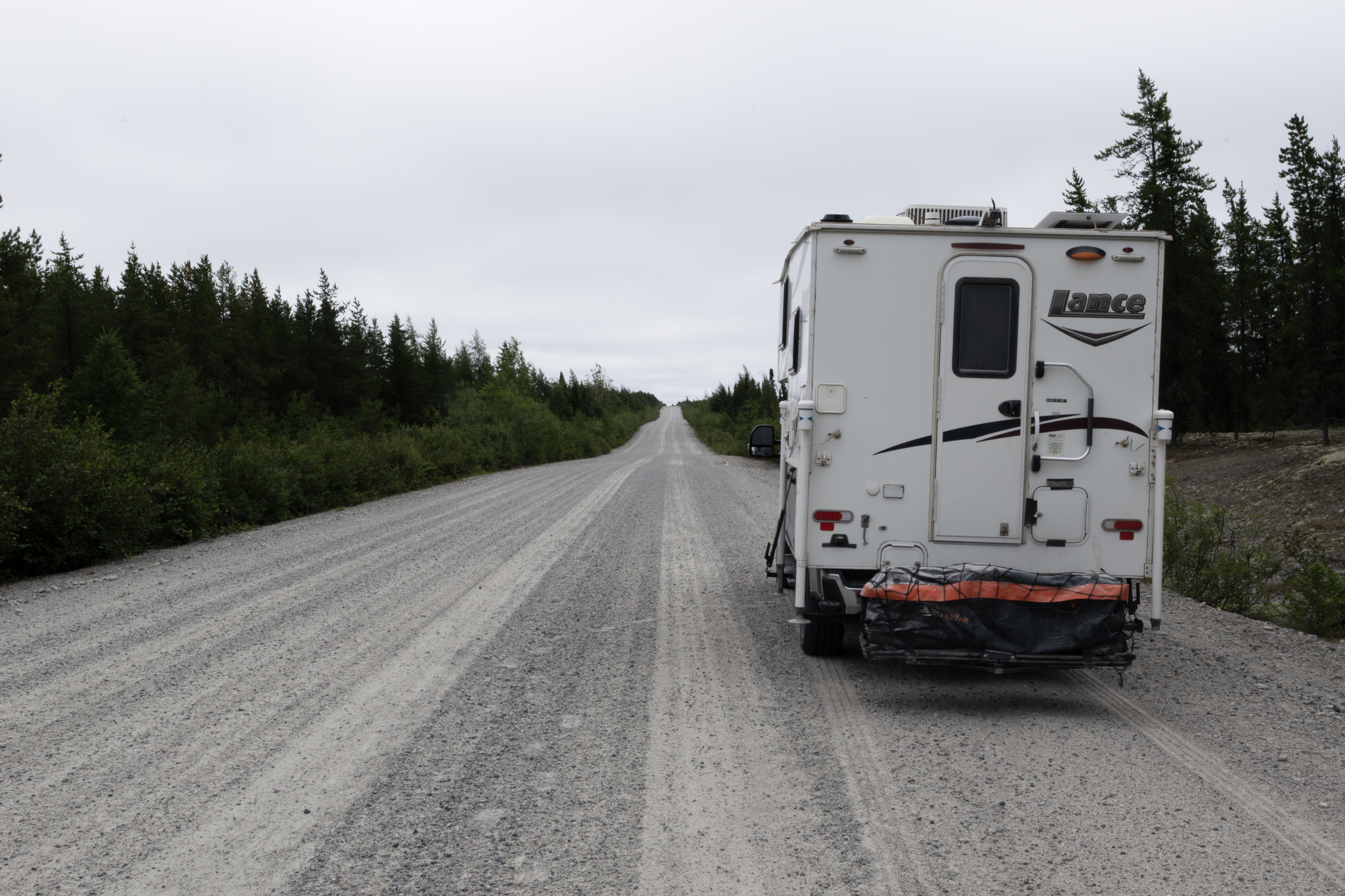
The bridge across the Pontois River. This is the same style of bridge as what crosses the Rupert River along the James Bay Road.
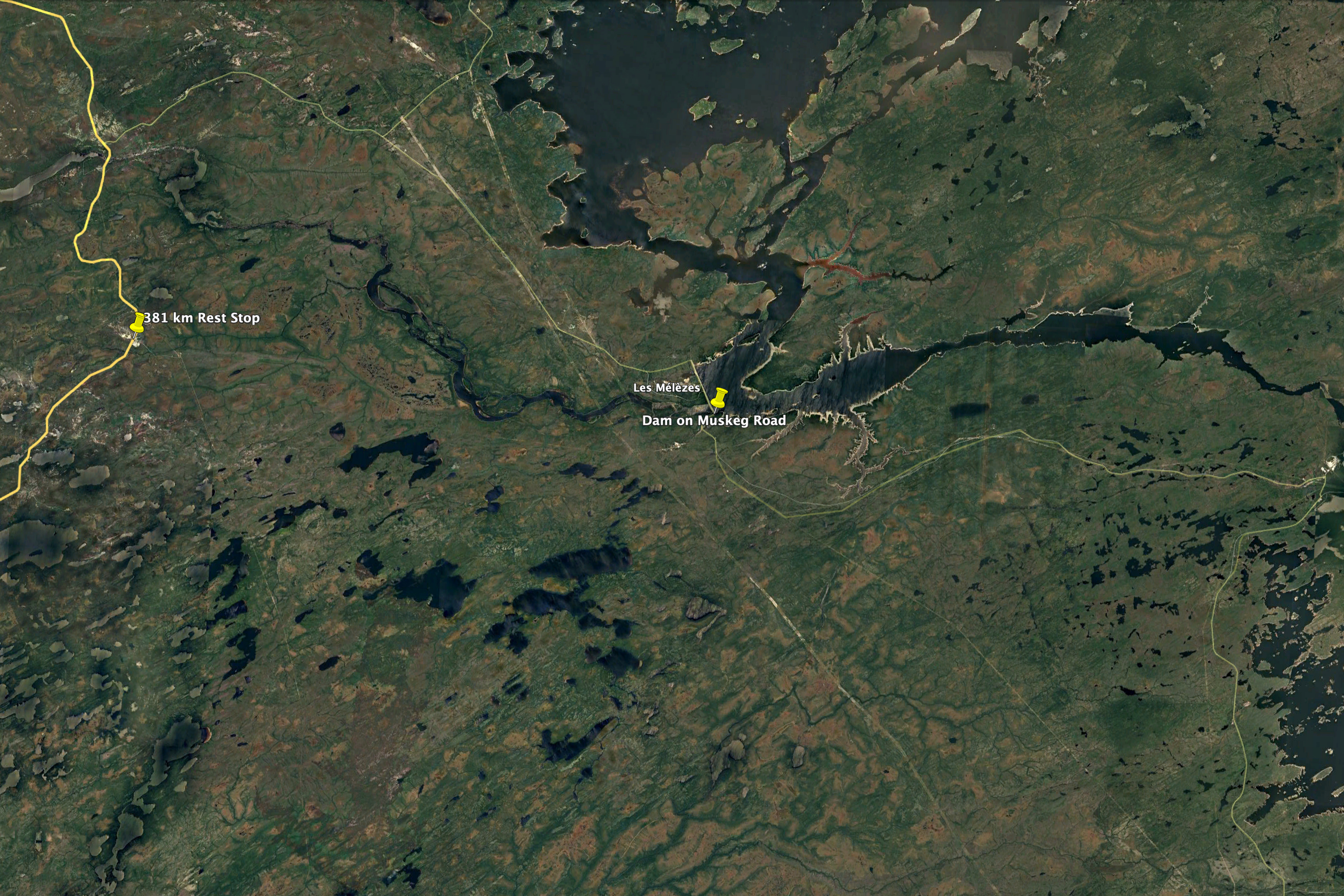
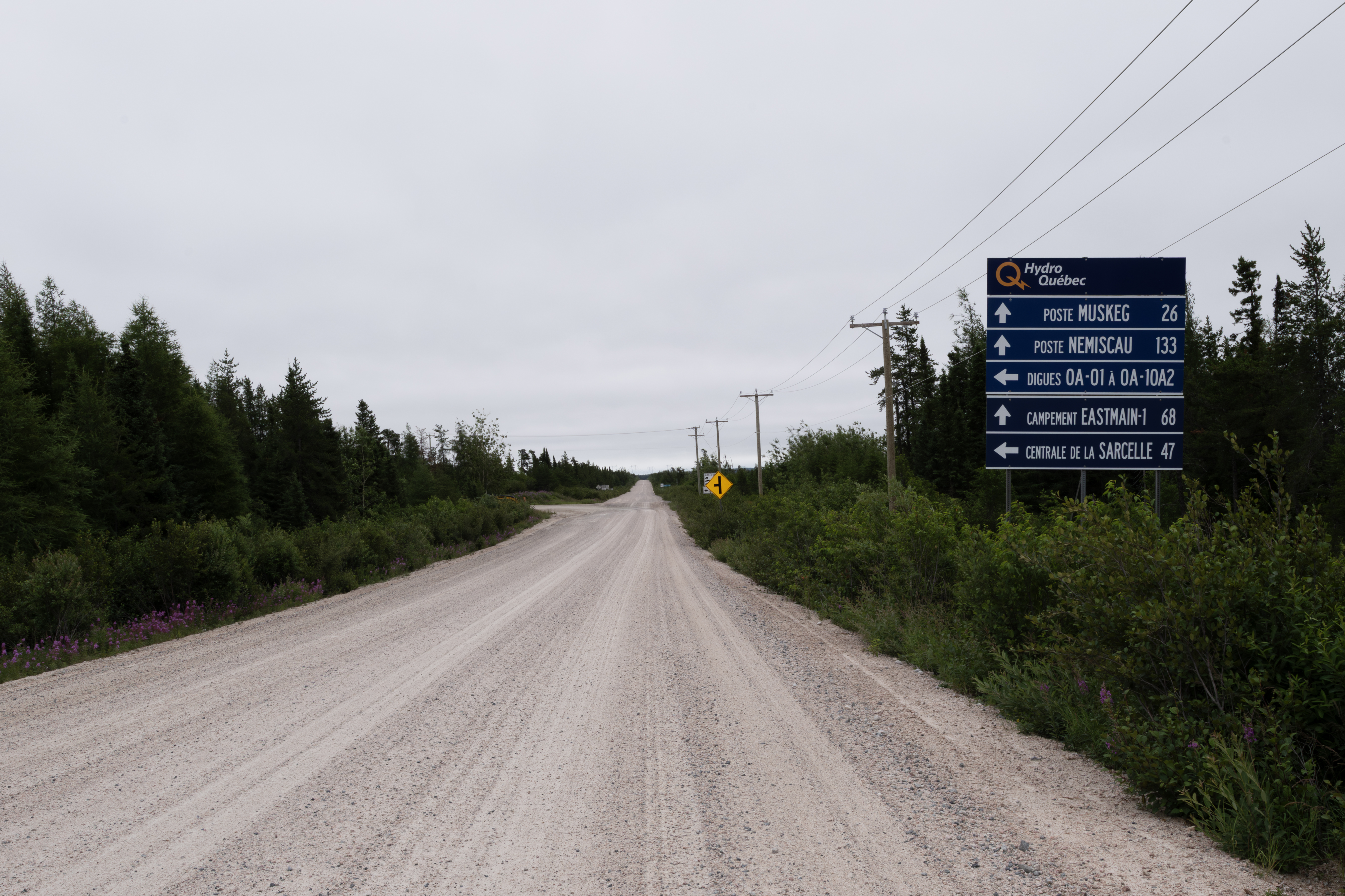
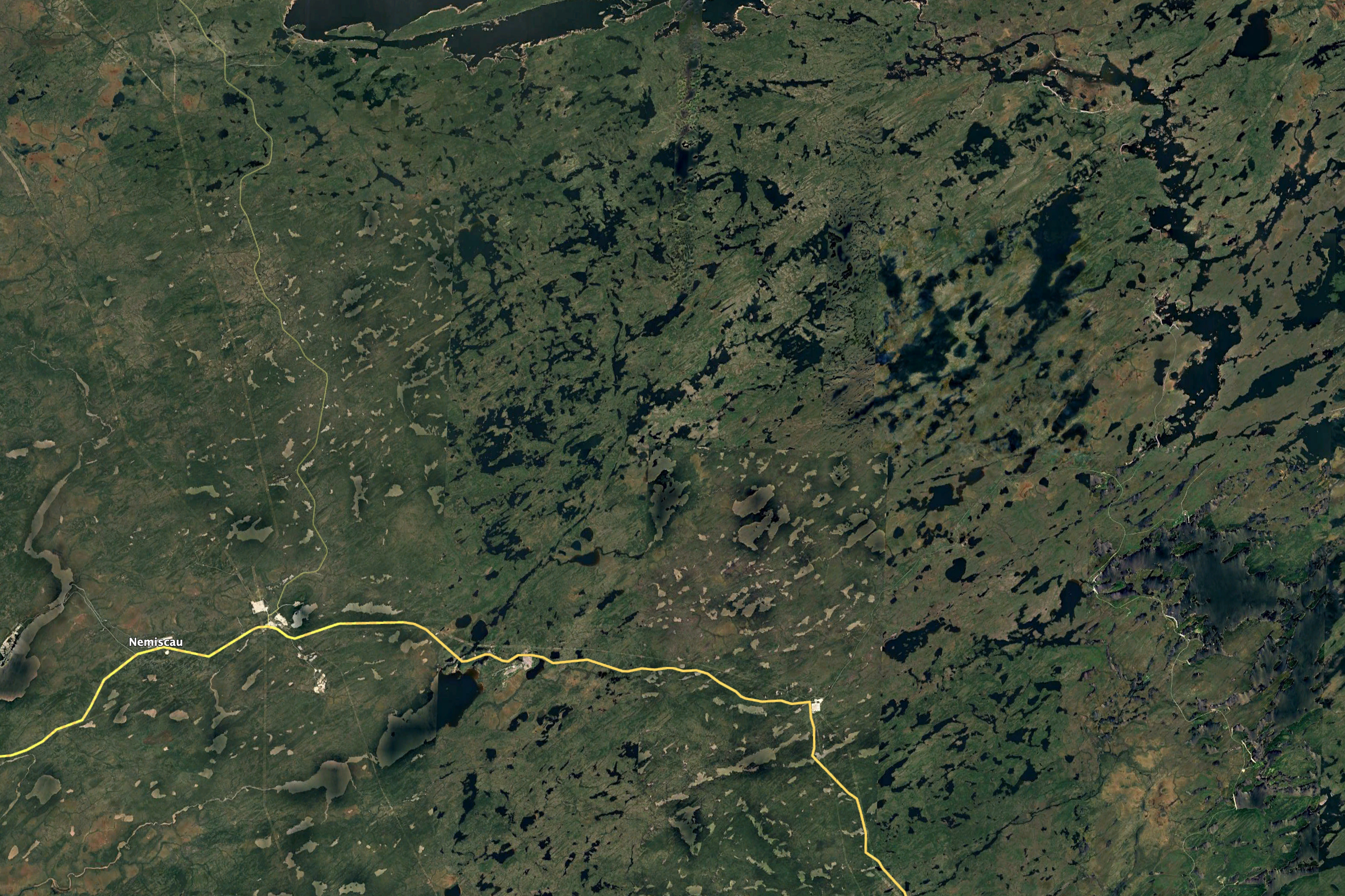
I spent the afternoon at the 381 km rest stop, and camped just a km or so on the Muskeg Route, which is a road connected to several others to service the dams on the Eastman River, which drains Lake Mistassini, the largest in Quebec and to where I was headed for a few days. These roads connect the Route de Nord just east of Nemiscau to the James Bay Highway 10 kms north of the 381 rest stop.
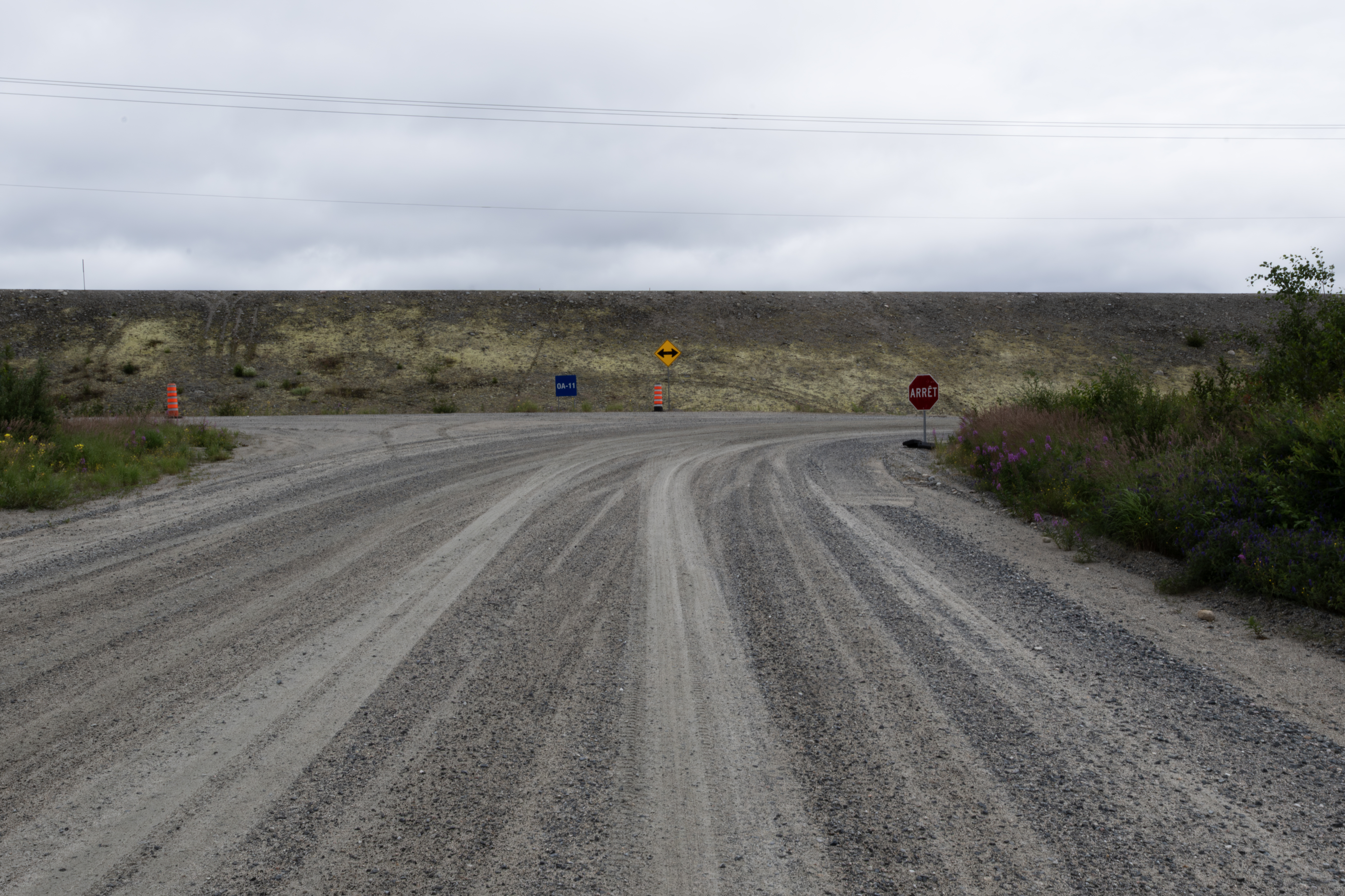
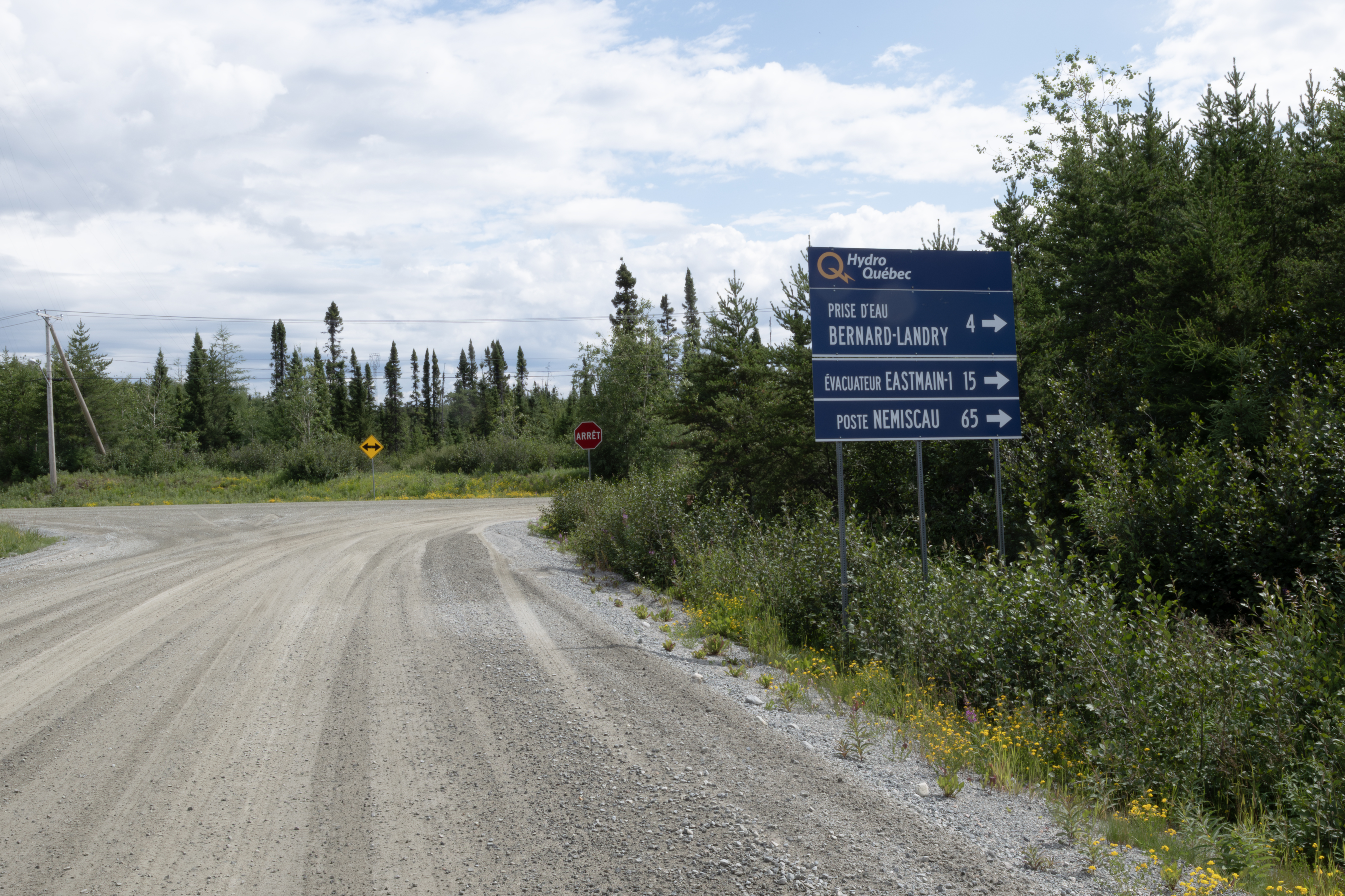
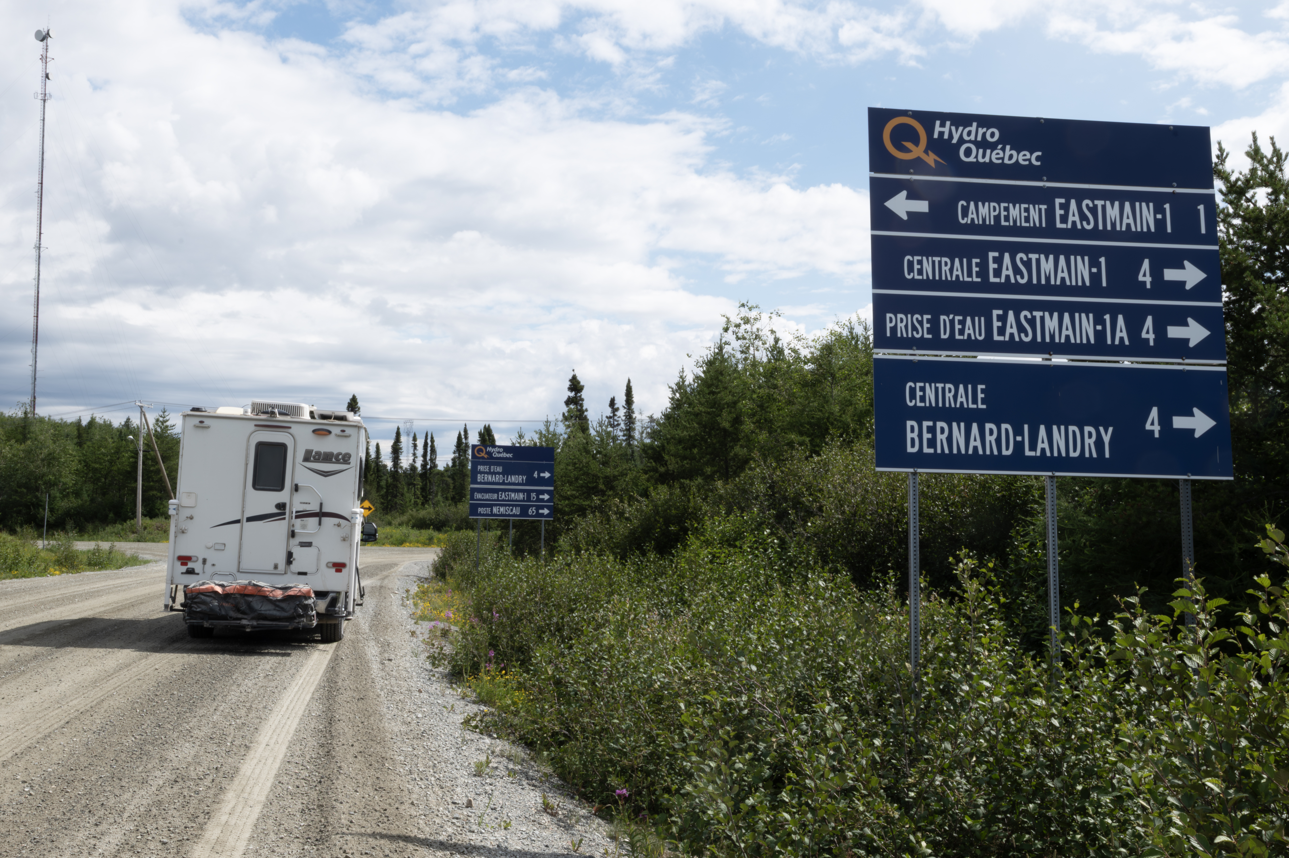
I stopped for this photograph at the first intersection on the route, seen in the above headed north along the lake. I would travel to the dam marked on the above photograph.
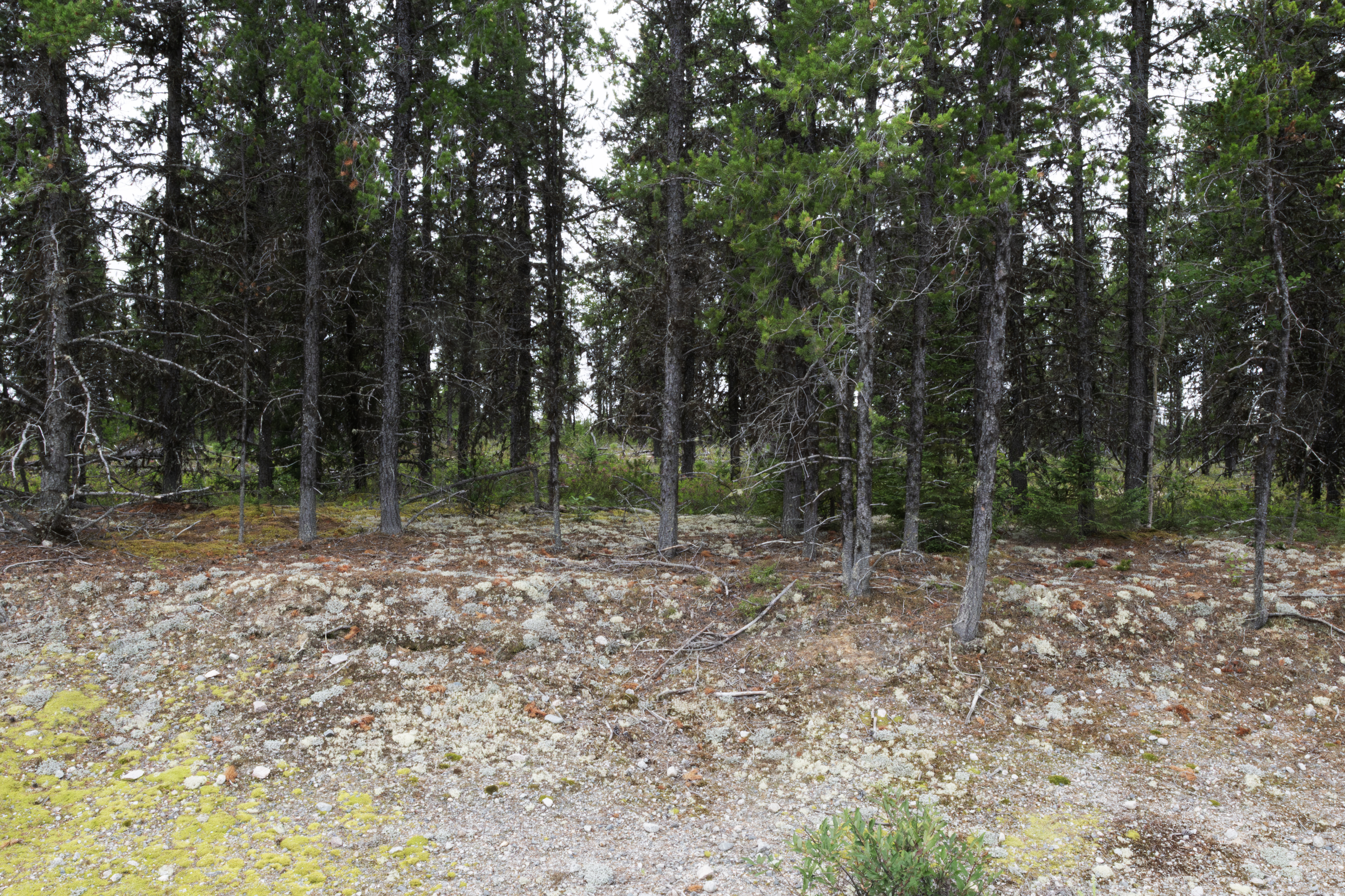
This area was a boreal desert.
Looking north a little farther down the road.
The levee for the dam. The road continues to the right (south) and the dam is just a km away.
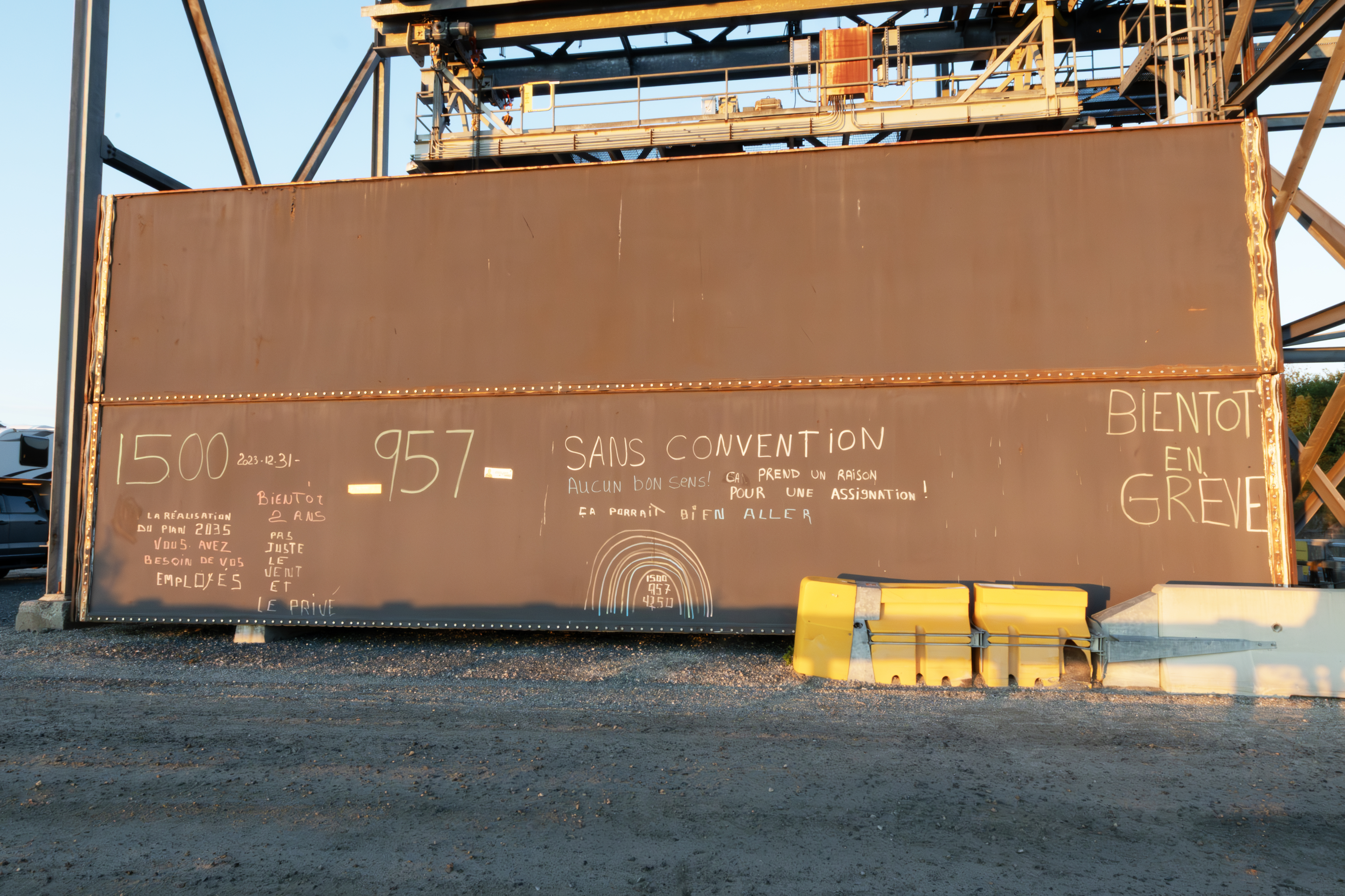
This is part of the dam. The HydroQuebec workers have been working without a contract since Dec 2023 and are not very happy. On the TTH, I saw a bus covered with similar sentiments.
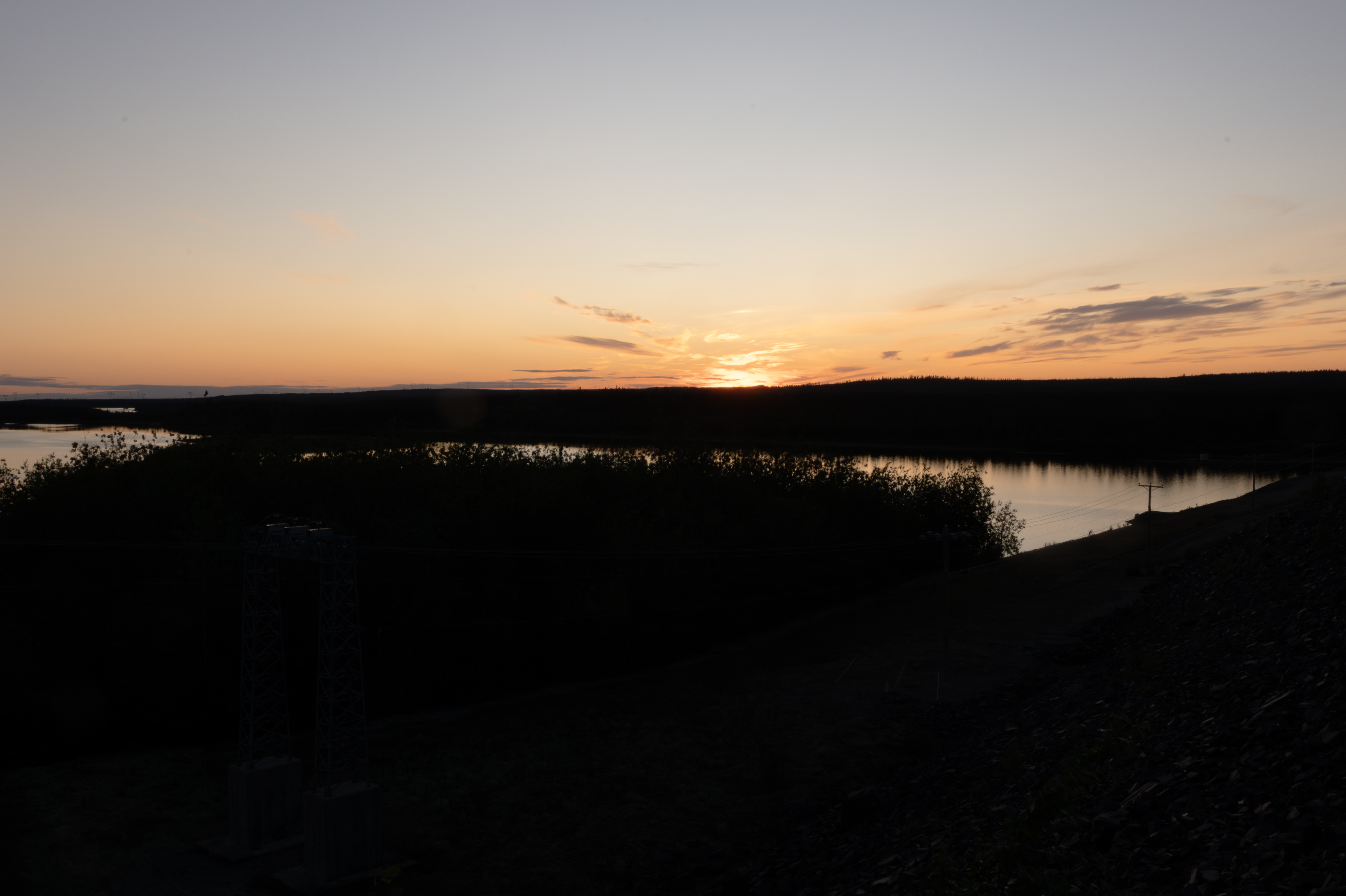
Spent the night parked right on the dam, this is looking northwest at sunset.
Next morning, July 31, spied this eagle on the levee.
Late afternoon, Kestrels were feeding along the levee on dragonflies. Tough to photograph, camera shy, but took a few.
This one returned to this perch several times, offering me a better photograph.
Another group of camera shy Canadian Geese.
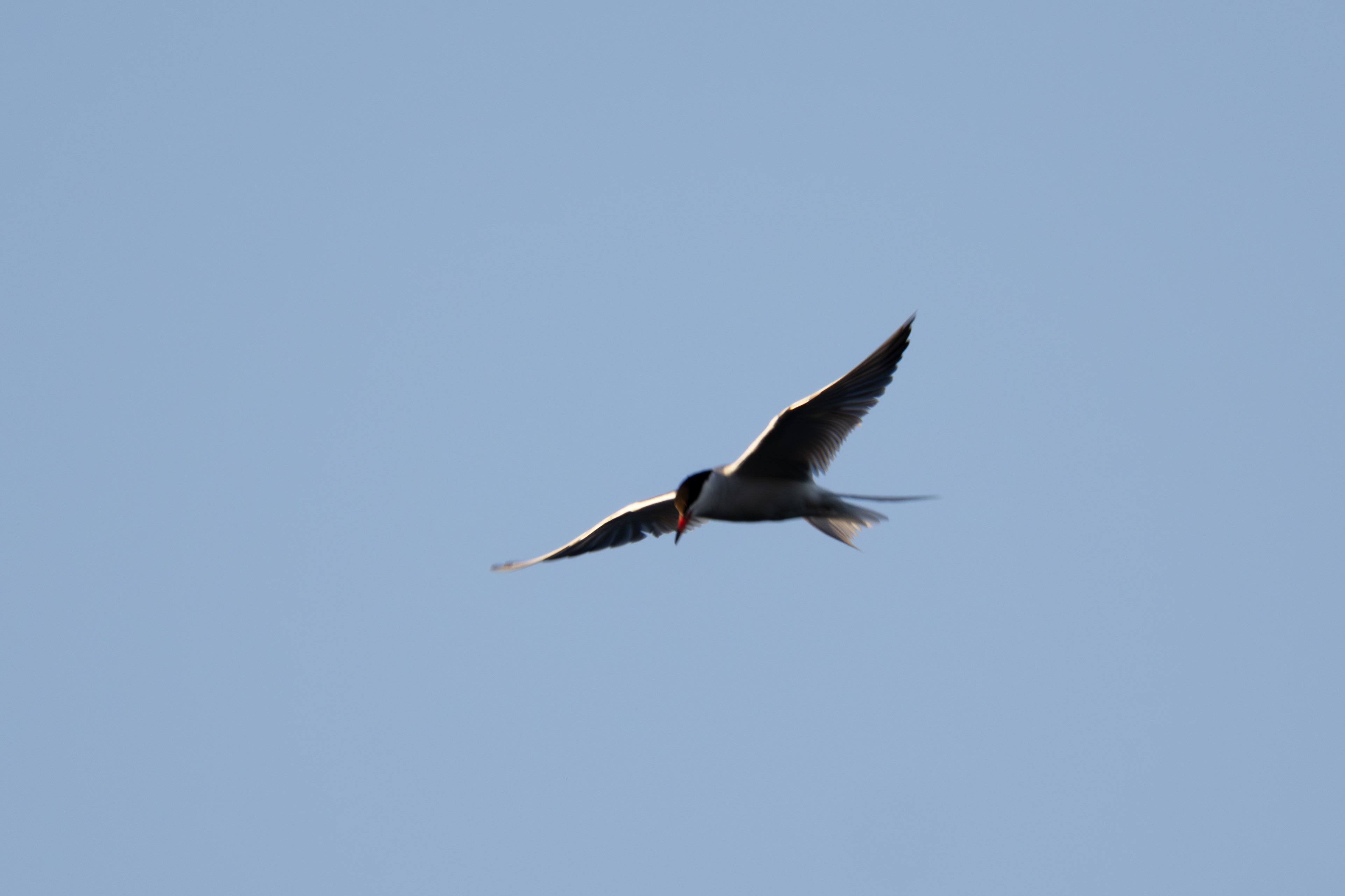
This Tern flew by in the evening.
The dam.
The outlet channel. No way to get down there to fish.
Just above the dam. No luck with fish here, just a few small northern pike.
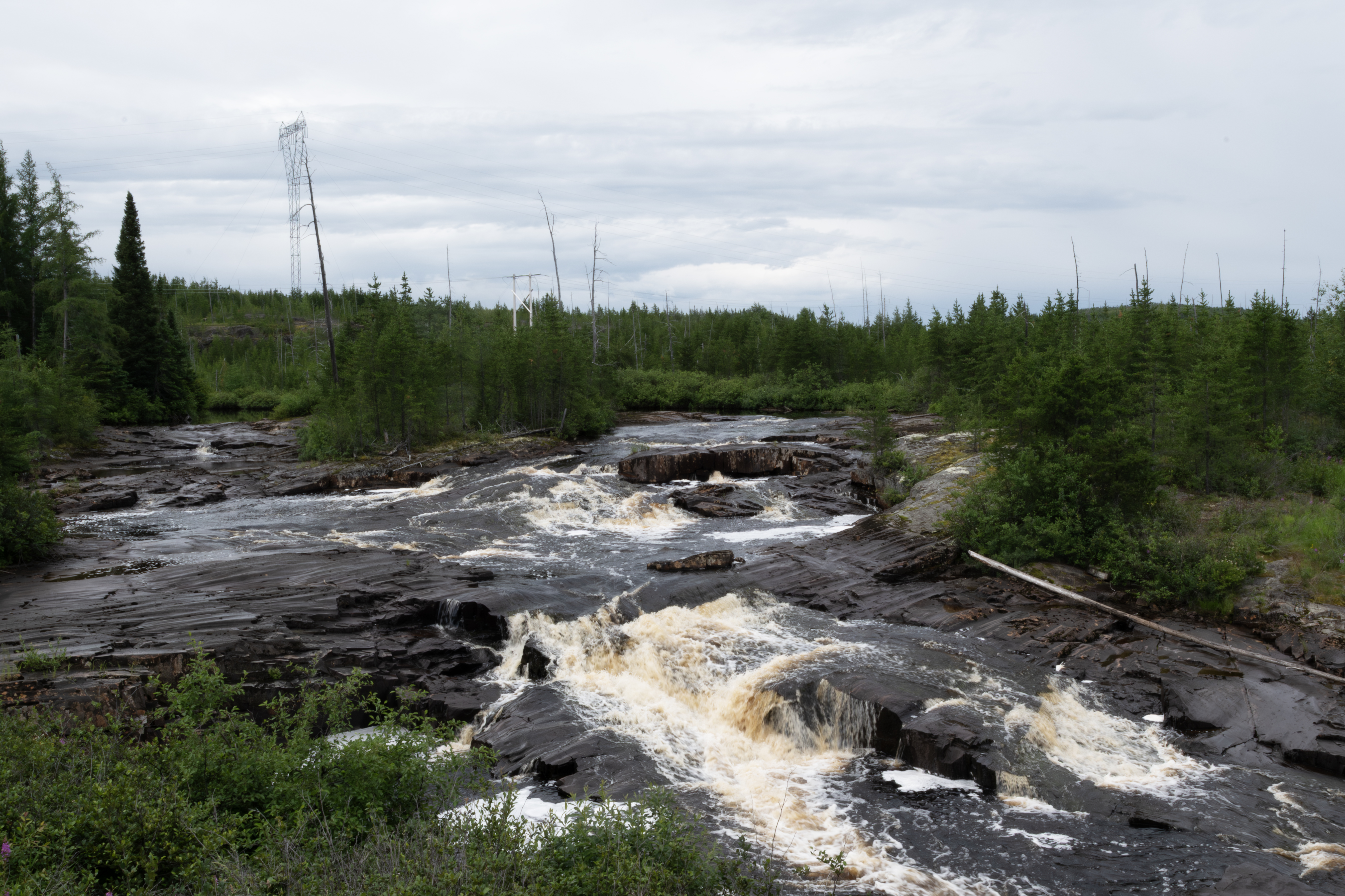
About 10 km south of the dam on August 1, I crossed a neat stream, but no fish here.
About 55 km from here to the Route de Nord. A second dam is to the right, but I did not visit.
Same intersection.
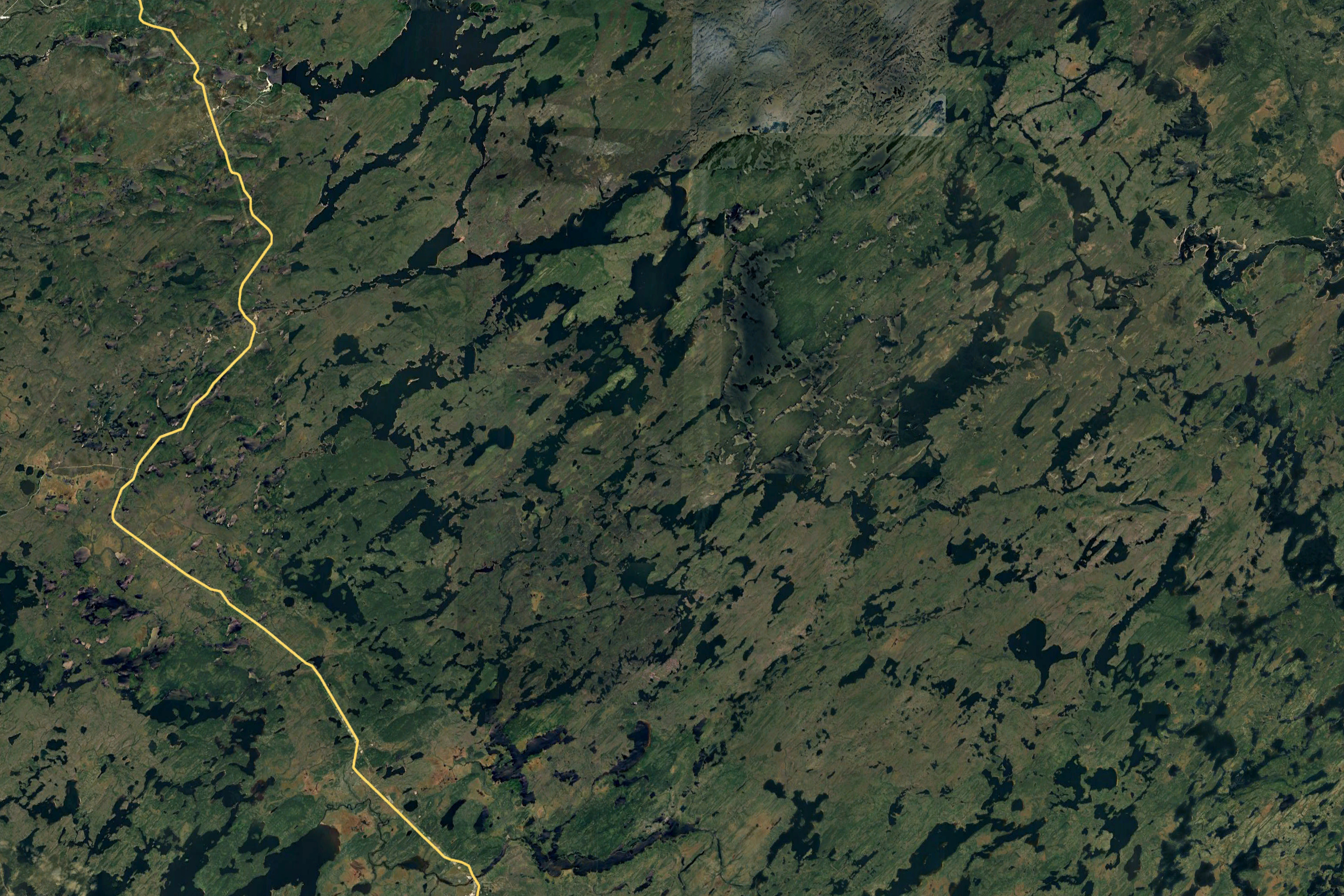
I am now embarking on the southern part of the Eastman Route, with the heavy yellow road the Route de Nord. I saved about 90 minutes taking this route, as the Route de Nord also connects to the James Bay Highway but veeers further south.
Another stretch of the Route de Nord.
And more.
This is my destimation, marked with the yellow marker. Would not make it until August 2, a rainy Saturday.
Did cross the Ruper River late in the aftenoon.
Looking upstream to the north. Did try fishing, but no luck, with spotty weather.
Looking downstream to the south.
The omnipresent one, near my evening camp site.
August 2, I am on Route 1033, a forest road that branches from the Route de Nord at about the 45 km marker. The Route de Nord starts about 10 km north of Chibougamau, and ends on the James Bay HIghway, more later. I fished a small lake at the outlet drainage for the next three days, and caught several eating size northern pikes each day. Here are the first two.
I parked here for 3 days, here is a photograph of the west end where I fished.
Smallest northern pike that I ever caught, about 7 inches long.
I released this one after the photograph.
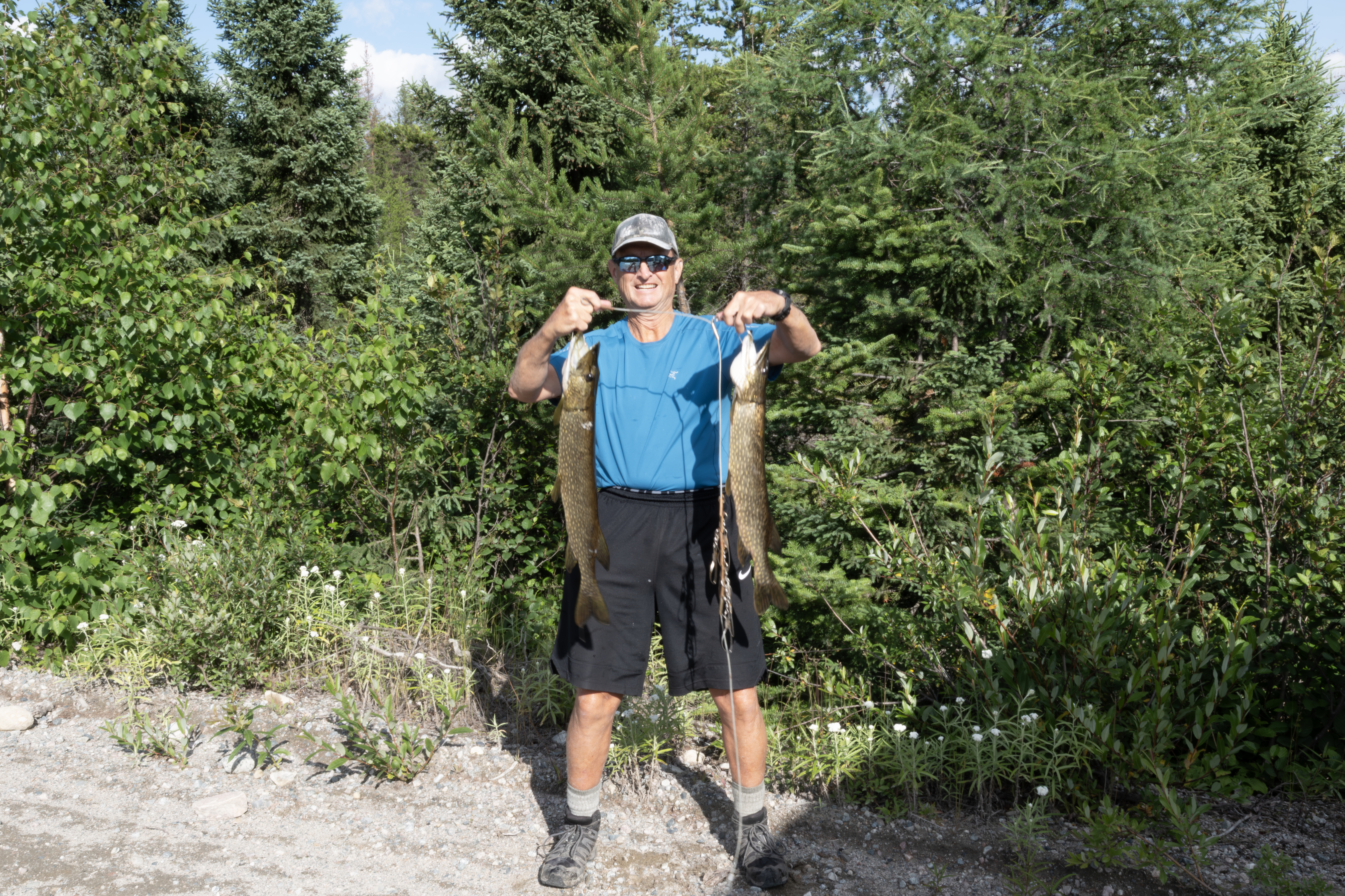
Caught this on August 3th. I caught 2 a day for the first 3 days, and then no more. I believe I caught all the fish in this lake, as it is very small and has no access for fish at this time of year.
The last 2 nice ones that I caught.
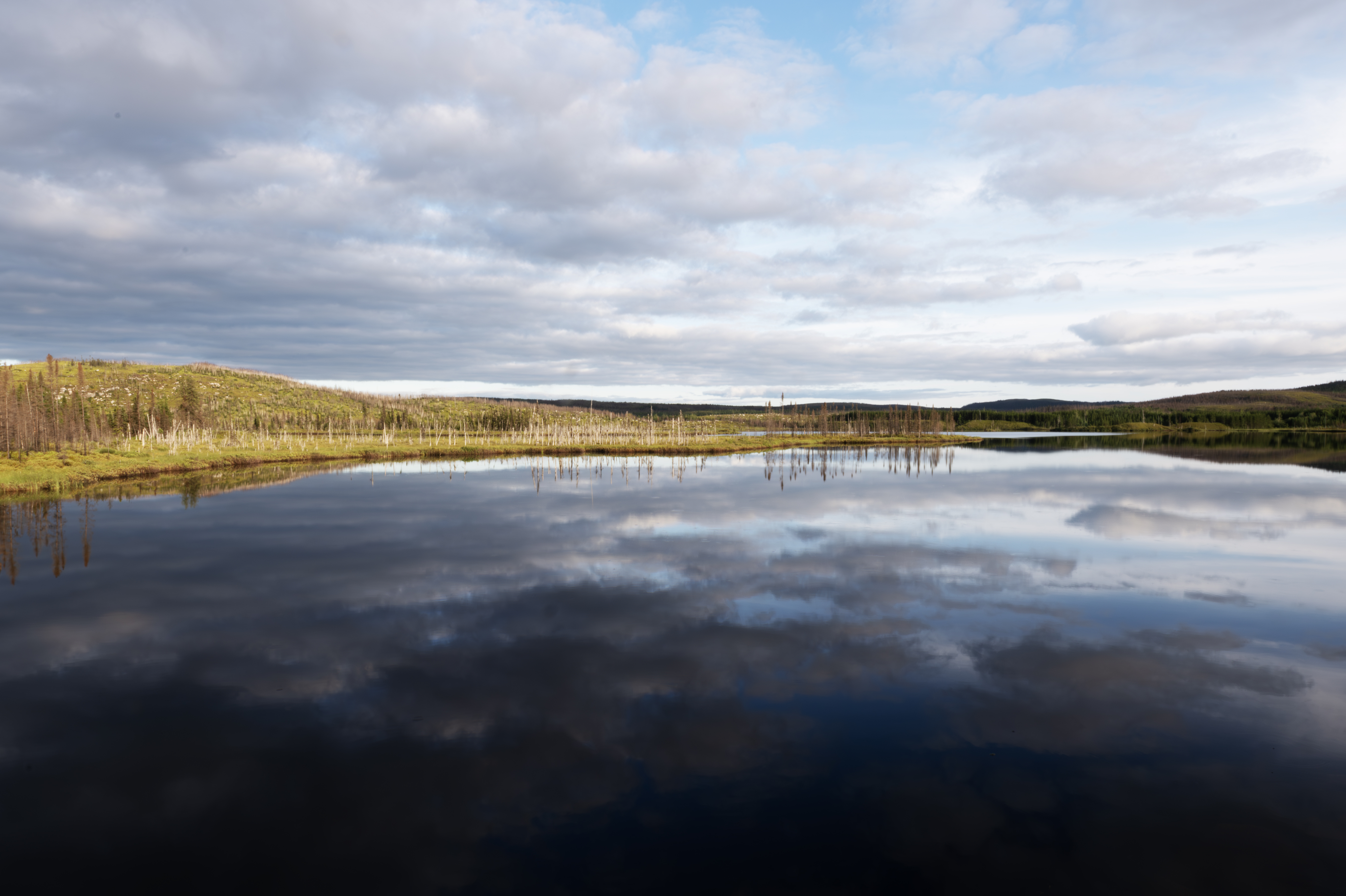
Morning on the lake, which is unnamed.
Dytiscus larvae, diving beetles, were feeding on the northern pike remains the next few days.
A worker driving a large vehicle started to clear the fire damaged trees.
Here are several piles from the cleared fire damaged trees. I spoke with the supervisor, they then reseed the forest after this work.
Working on a hillside.
Another view.
Impressive vehicle, multipurpose.
Another view of the vehicle.
I was walking the road about 1 km from my truck when I met the worker. When I looked down the road, saw this young wolf headed our way.
A close-up.
I waved the driver over, who came and stood with me until the wolf ducked into the woods. He only spoke French, so we communicated using sign language, so to say. His name was Marc. I went back to the truck for bearspray, and as I walked the wolf came back to the road once more, but then disappeared. I was parked along the lake and if the wolf had continued toward me, it would have been visible. Never saw it again, though.
The lake the morning of August 5th.
A small pond at about 100 km on Route 1033.
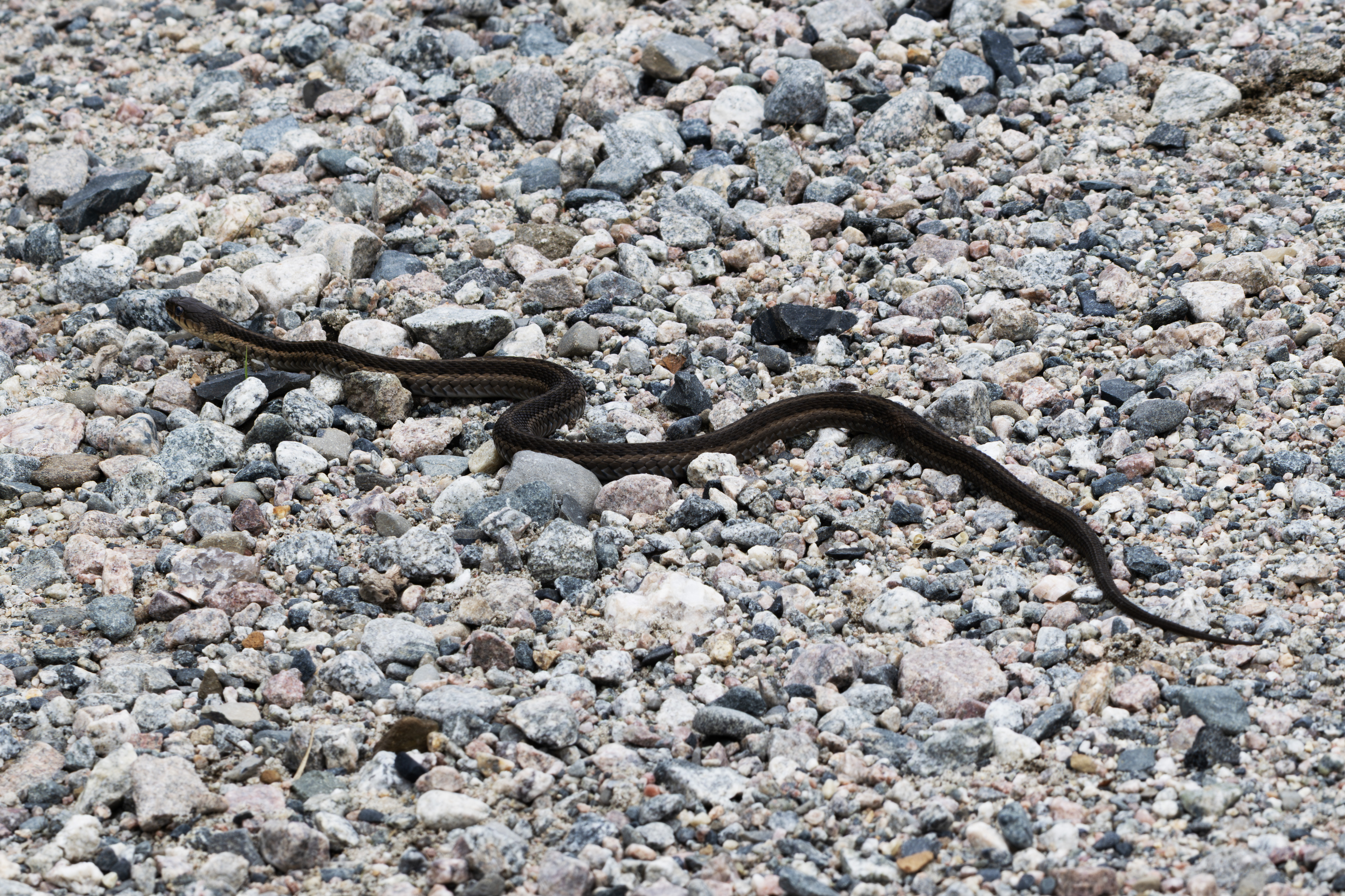
Garter snakes were occasional on the trip.
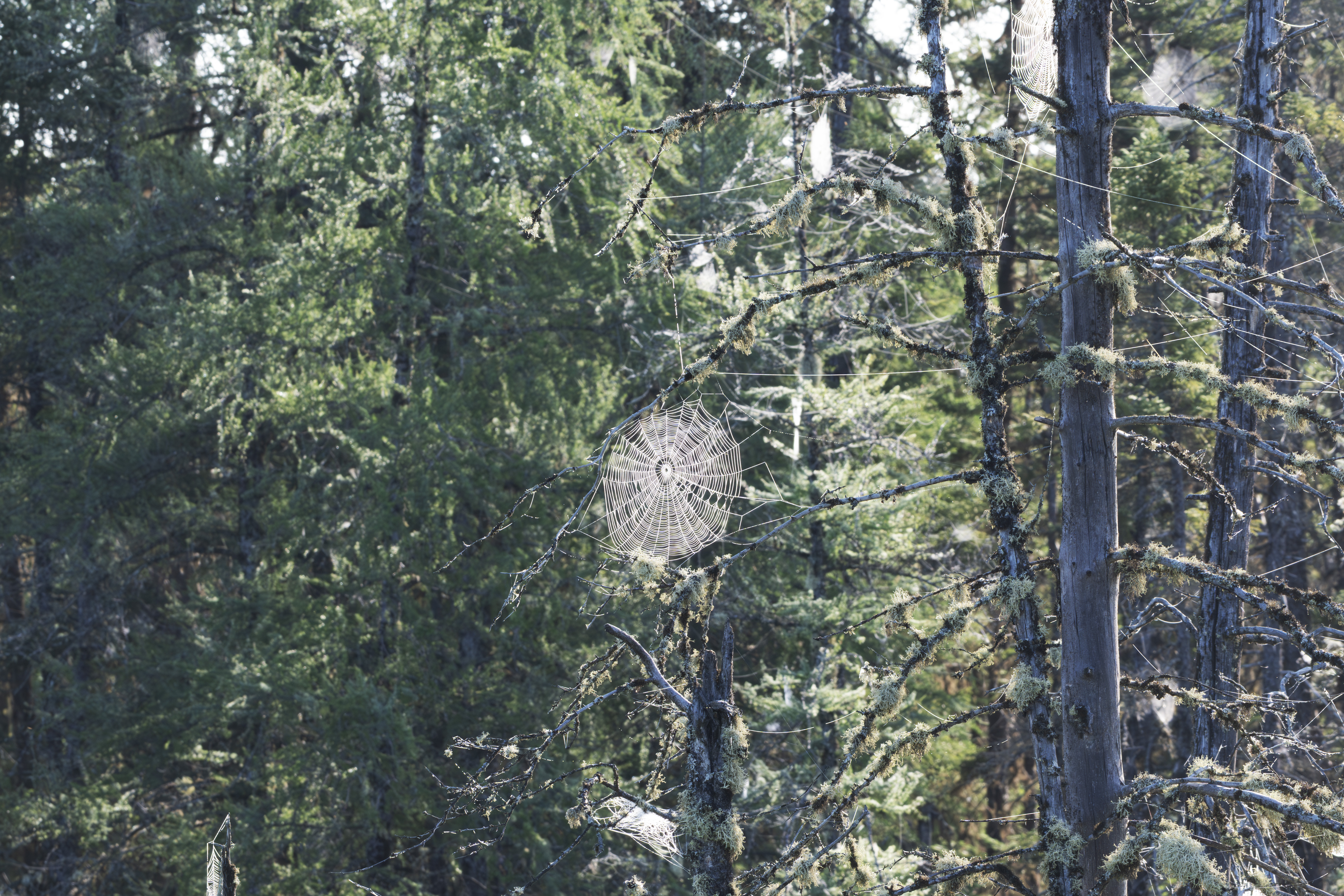
August 6th, now about 2 hours south of Chibougamau. Early morning view of spider webs
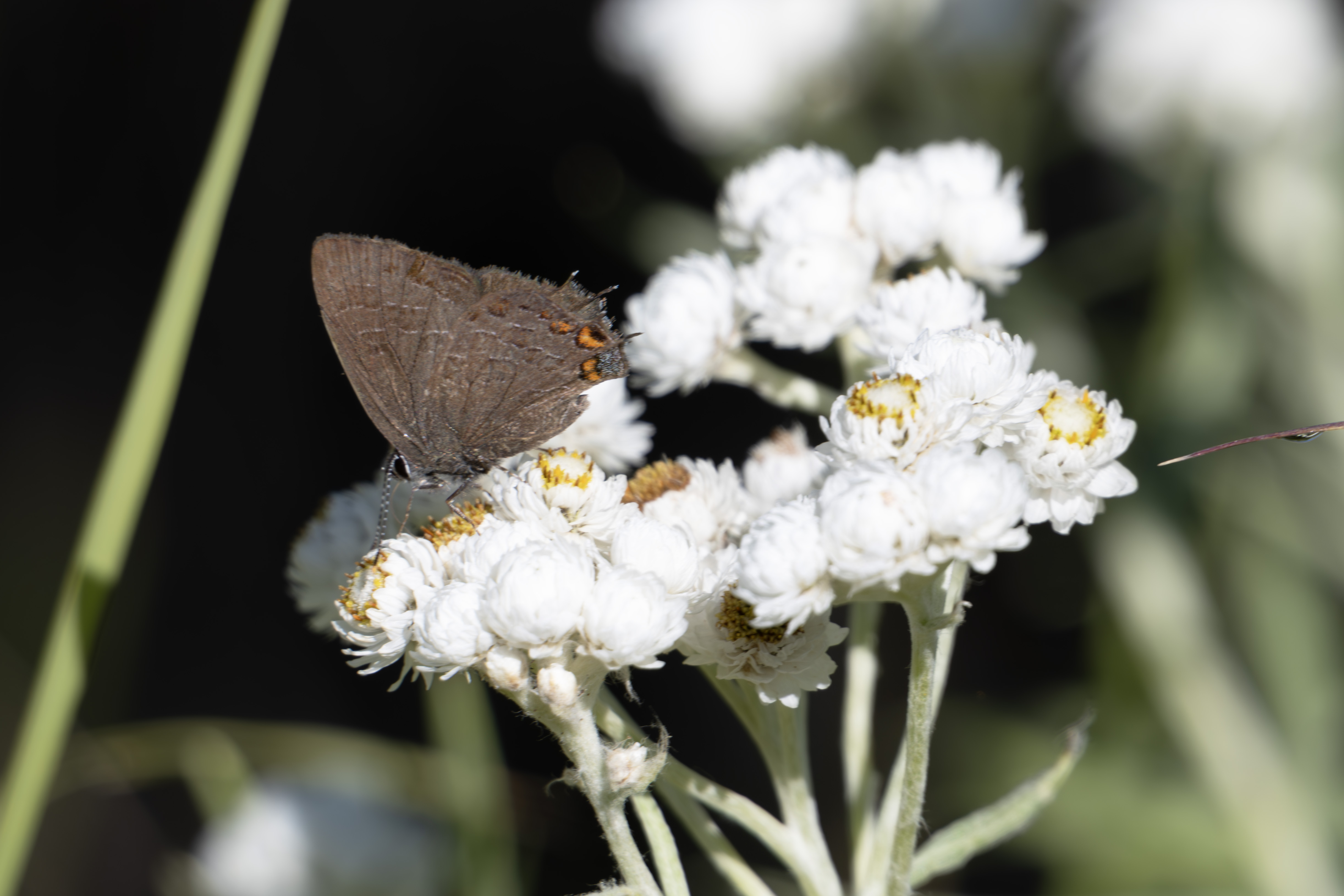
Satytrium liparops, about at the northern end of it's range.
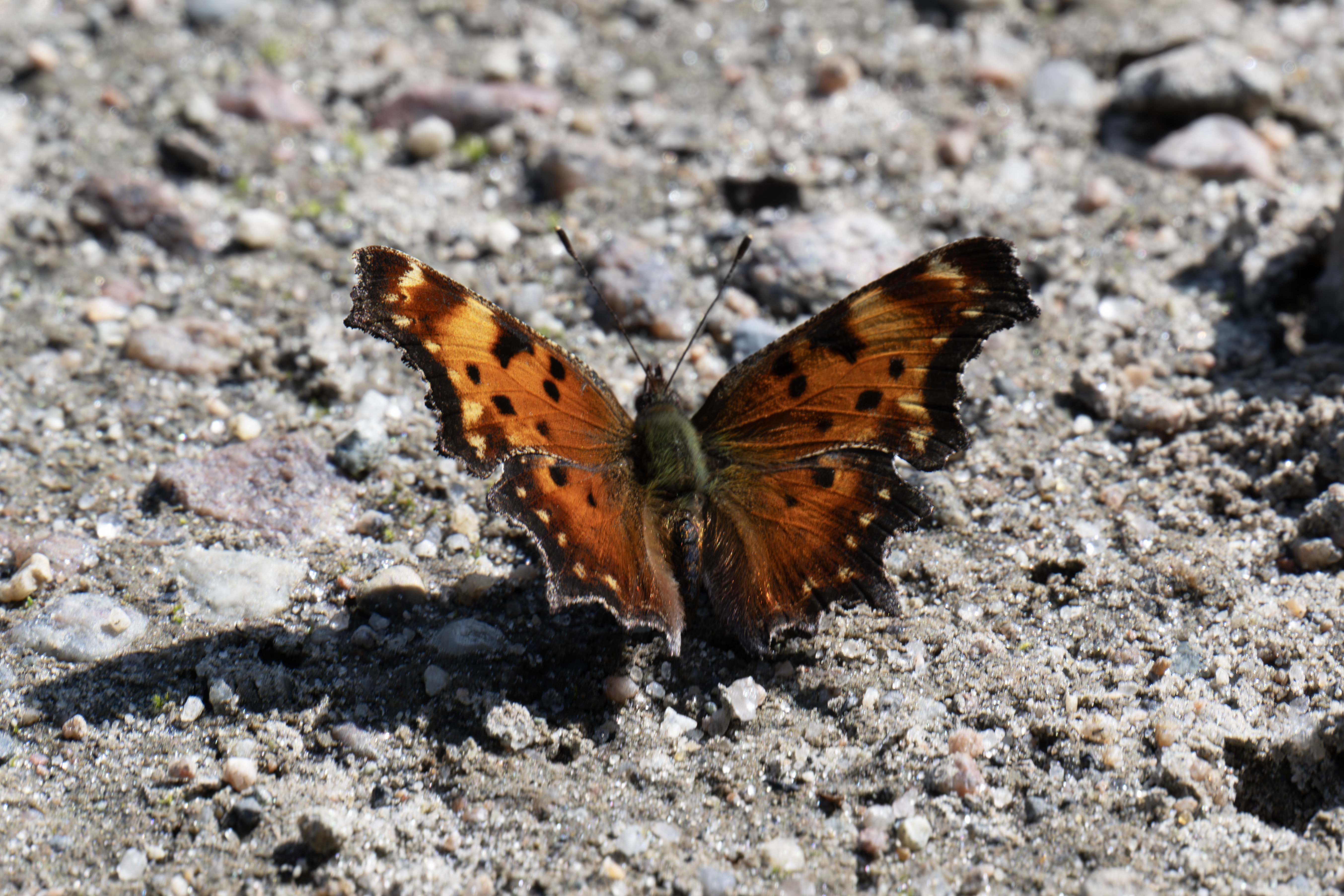
Polygonia faunus.
On August 7th, I returned to Route 1033, hoping for good weather and more P. faunus. Toward the end of the day, took this photograph as an aferthought, as I thought this was a Green Headed Frog, but this is a Mink Frog, first time I have encountered one.
This geological feature, a prominent hill with exposed rock and surrounding vegetation, is part of the Canadian Shield, and is characterized by Precambrian rocks.
I decided to return to the TTH as P. faunus was probably flying. I drove past Nemiscau, and parked on the Muskeg Route for the night. Next morning, I started a slow drive back to the 381 km rest stop, seeking P. faunus. At 7 AM, I spied this Snow Shoe Hare, and positioned myself for a few photographs, when another animal appeared on the other side of the road.
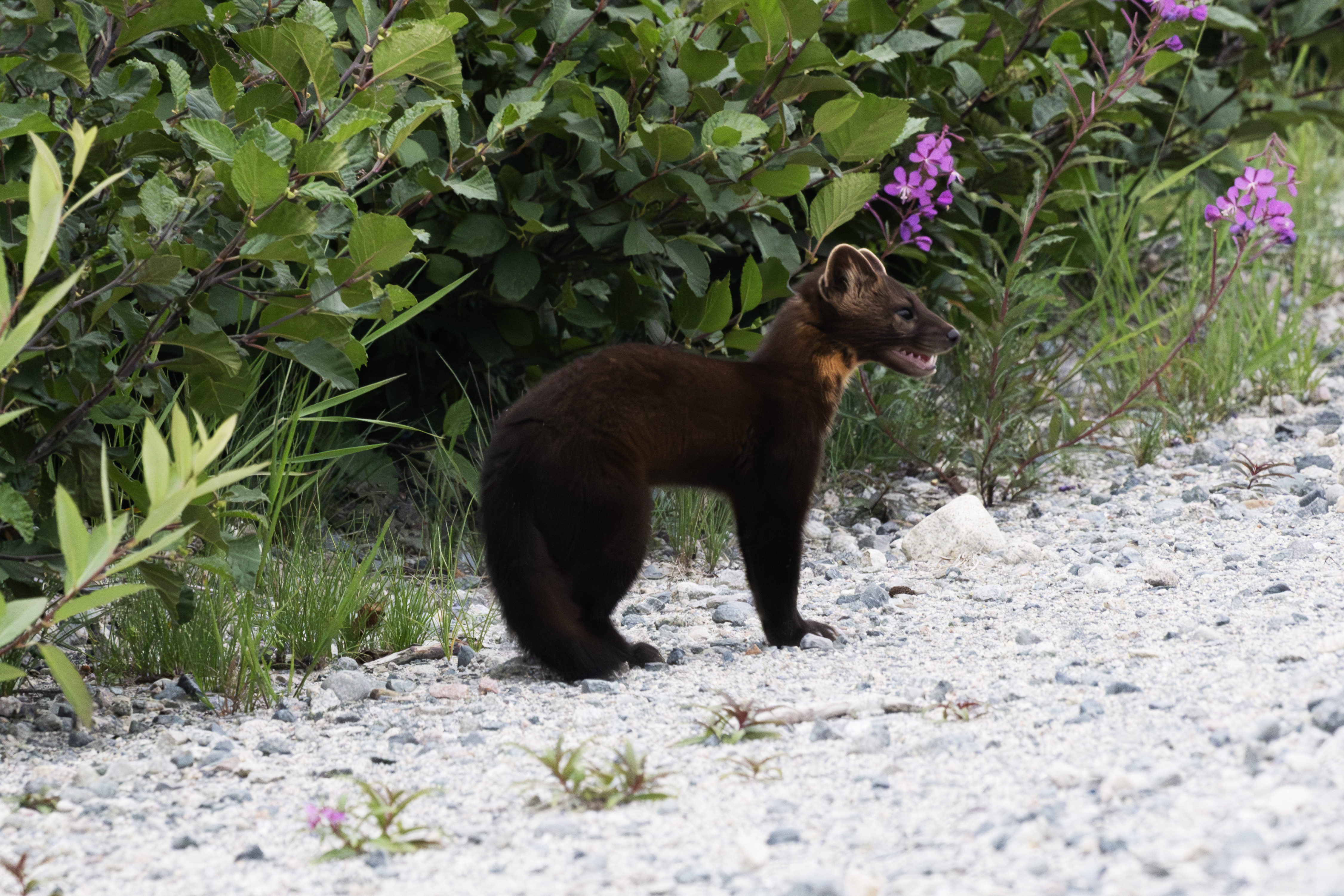
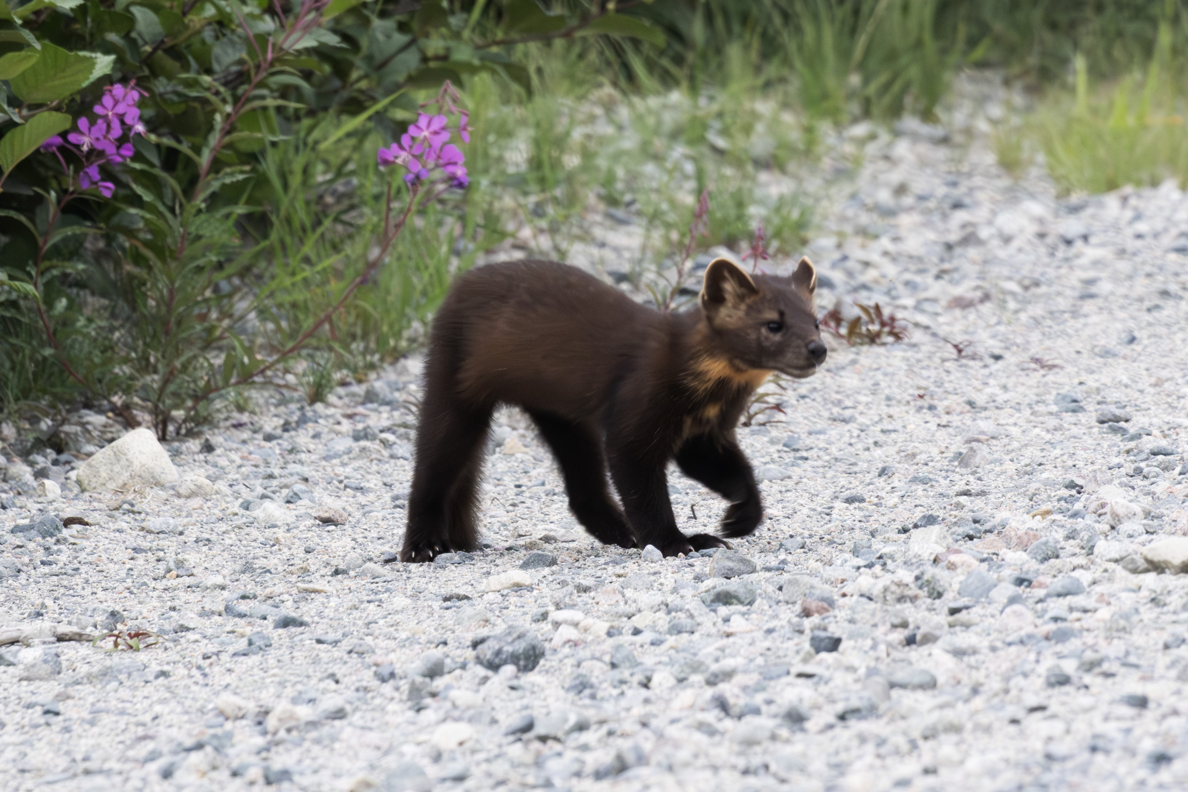
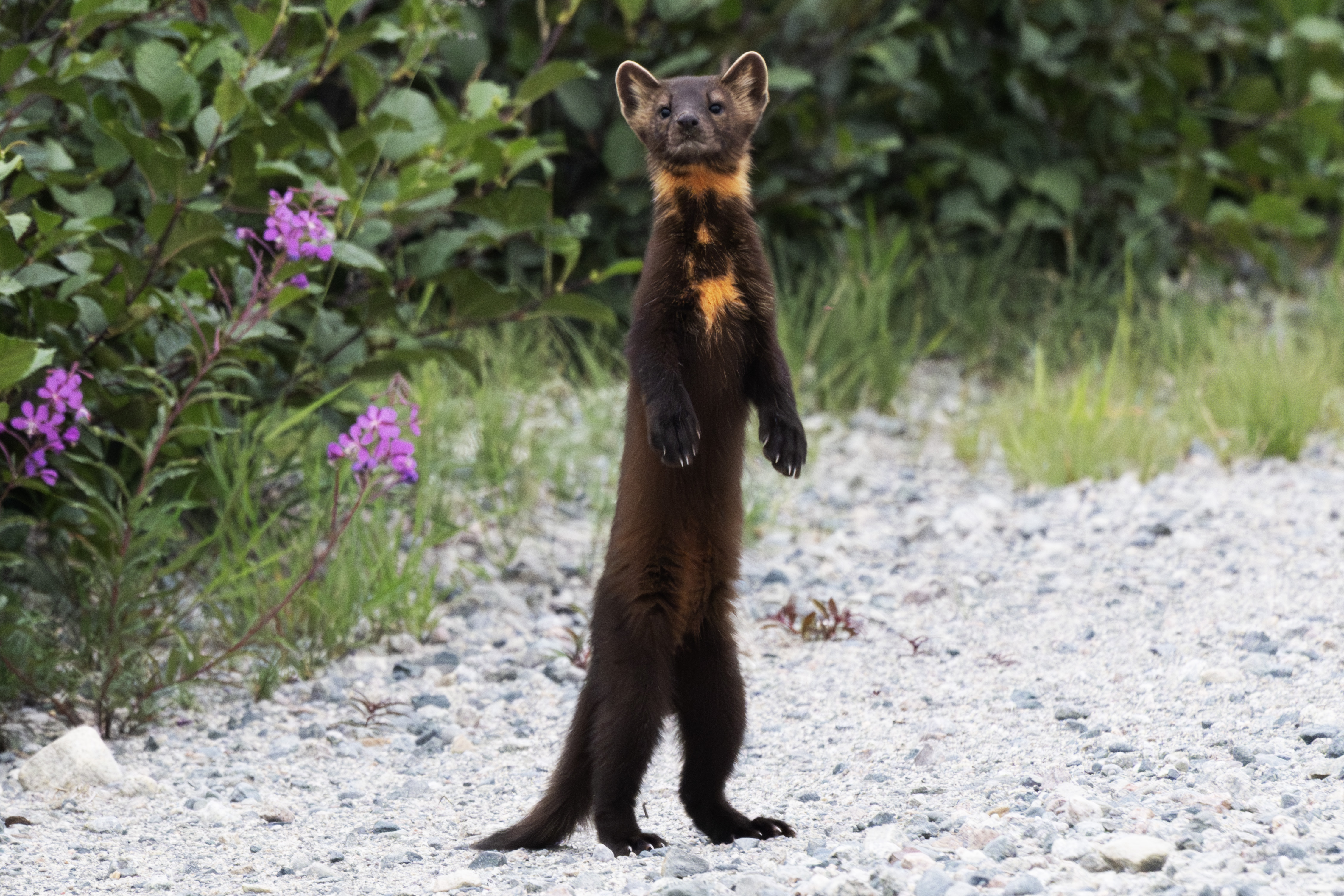
It was an American Marten! Must have been stalking the hare when I arrived, and I had probably blown it's cover.
The marten positioned itself right across the road from the hare.
Had another look at the hare.
And turned back toward me.
Another look at the hare.
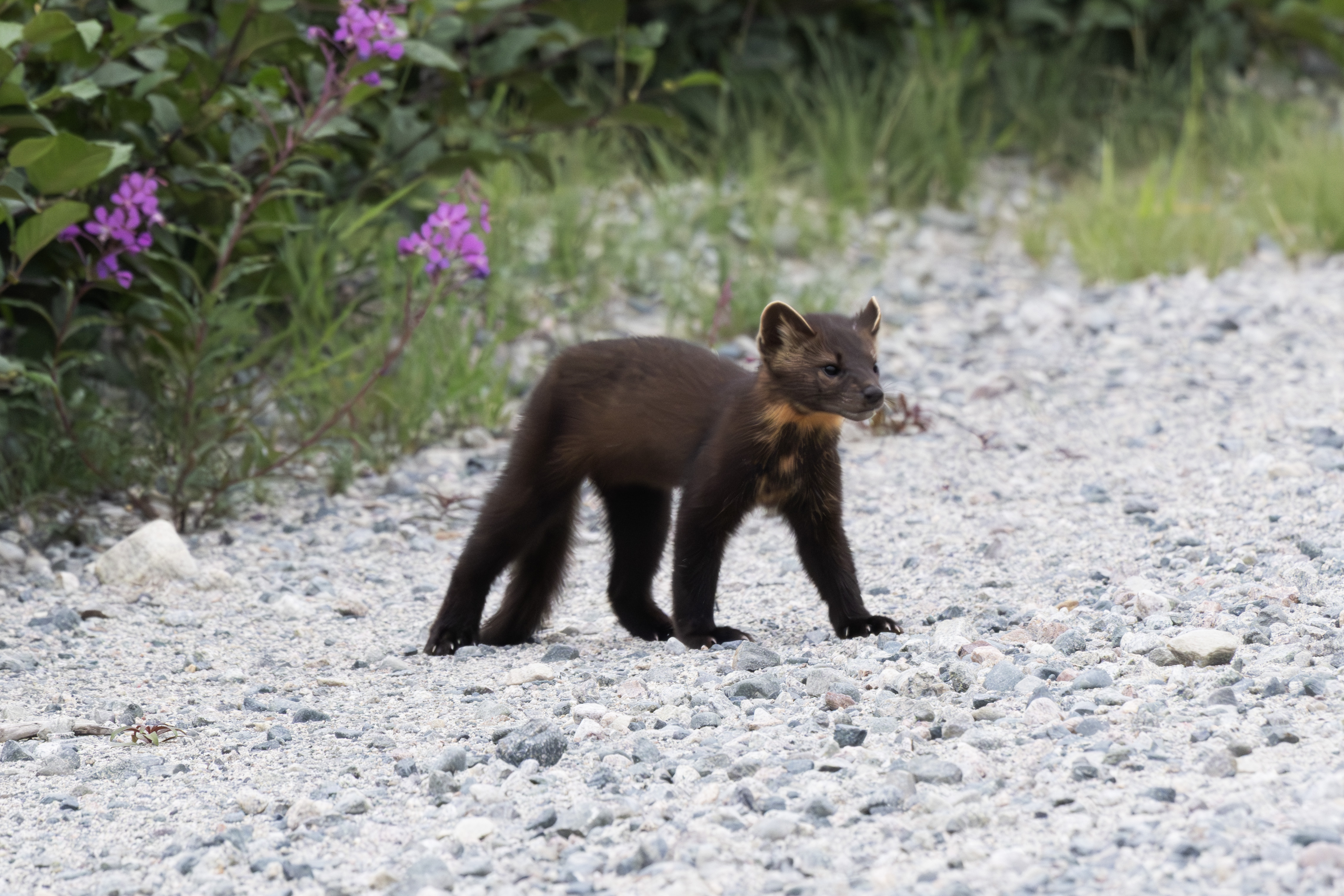
Sniffed around.
Seemed indecisve.
Watching the hare.
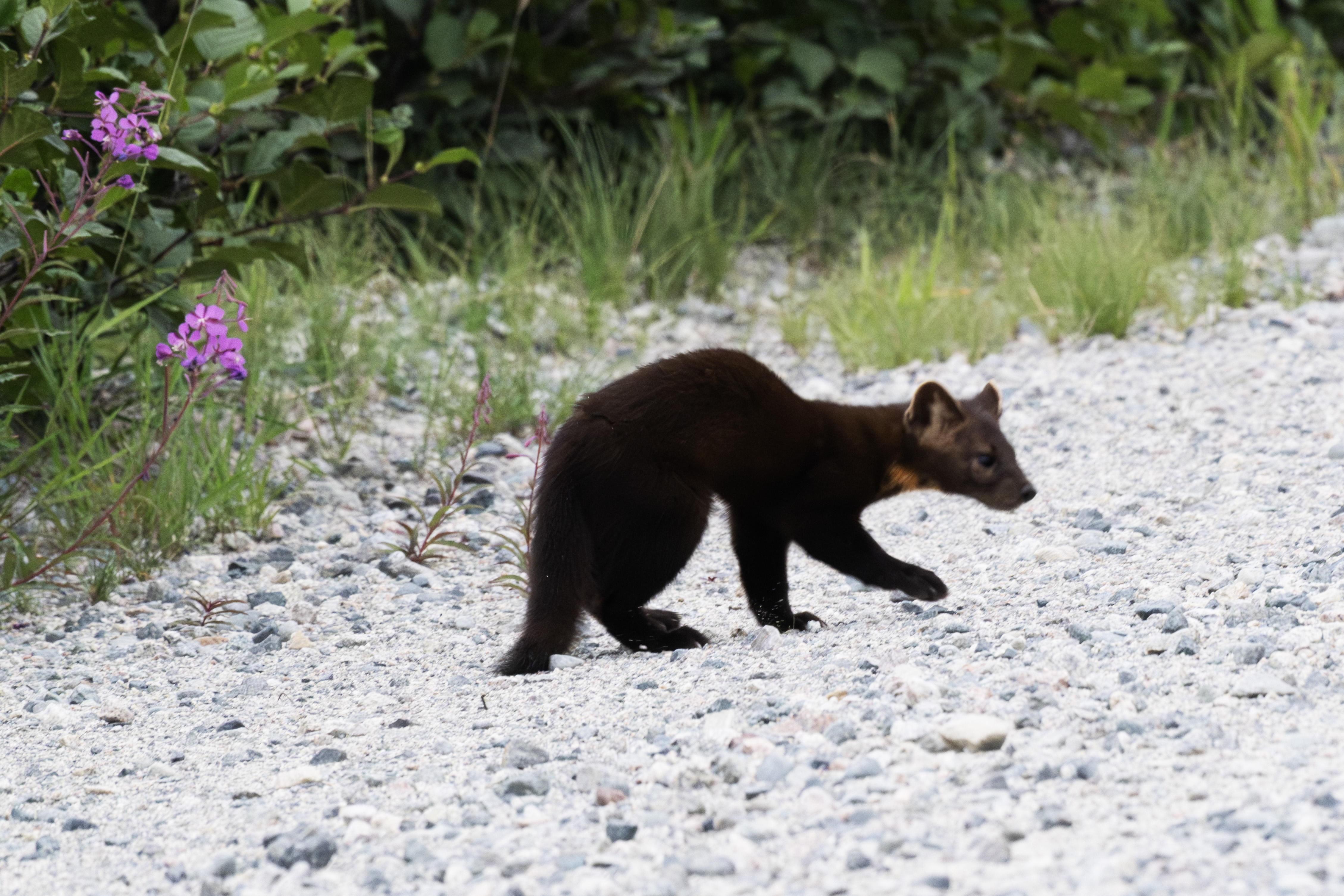
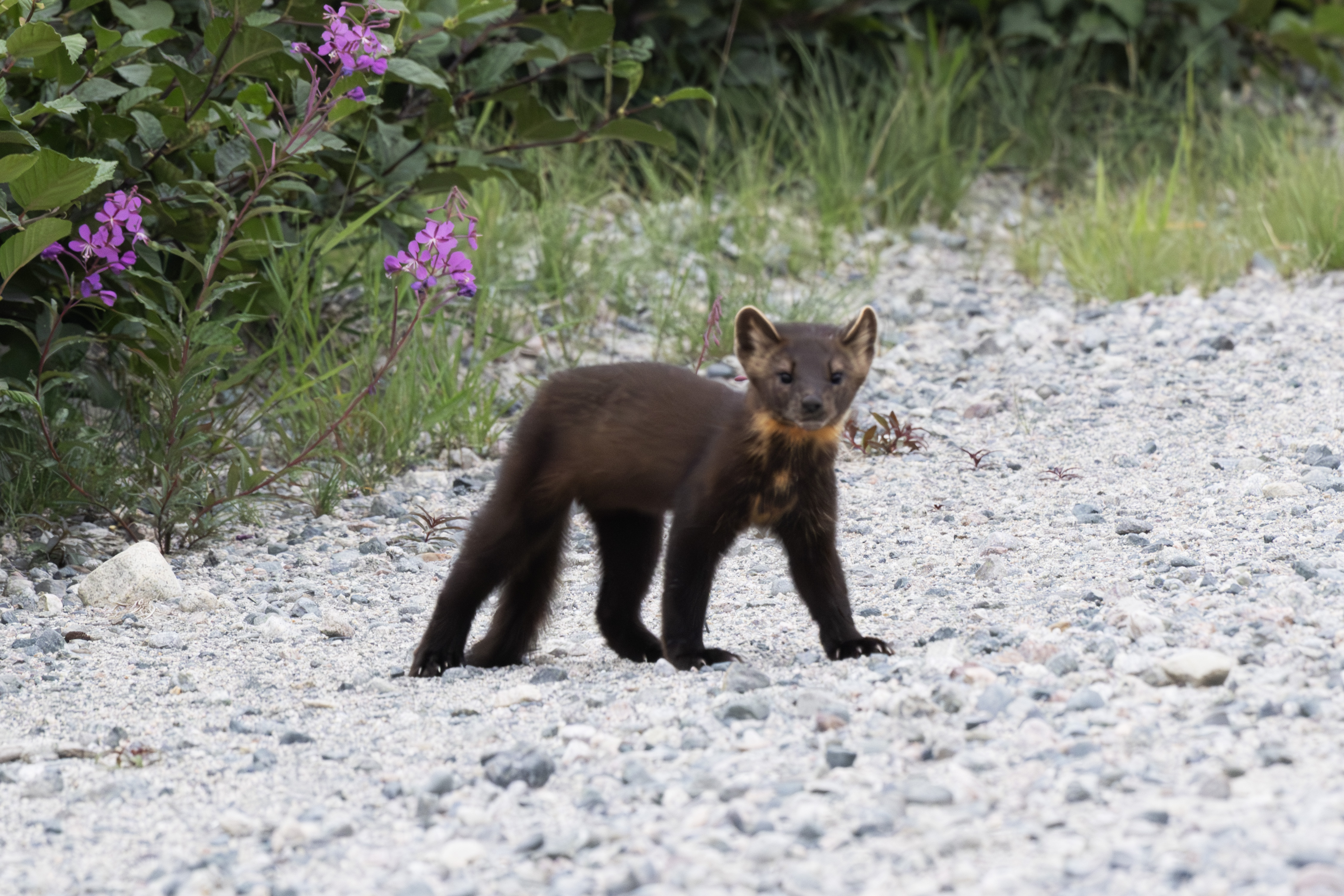
Then focused it's attention on the intruder.
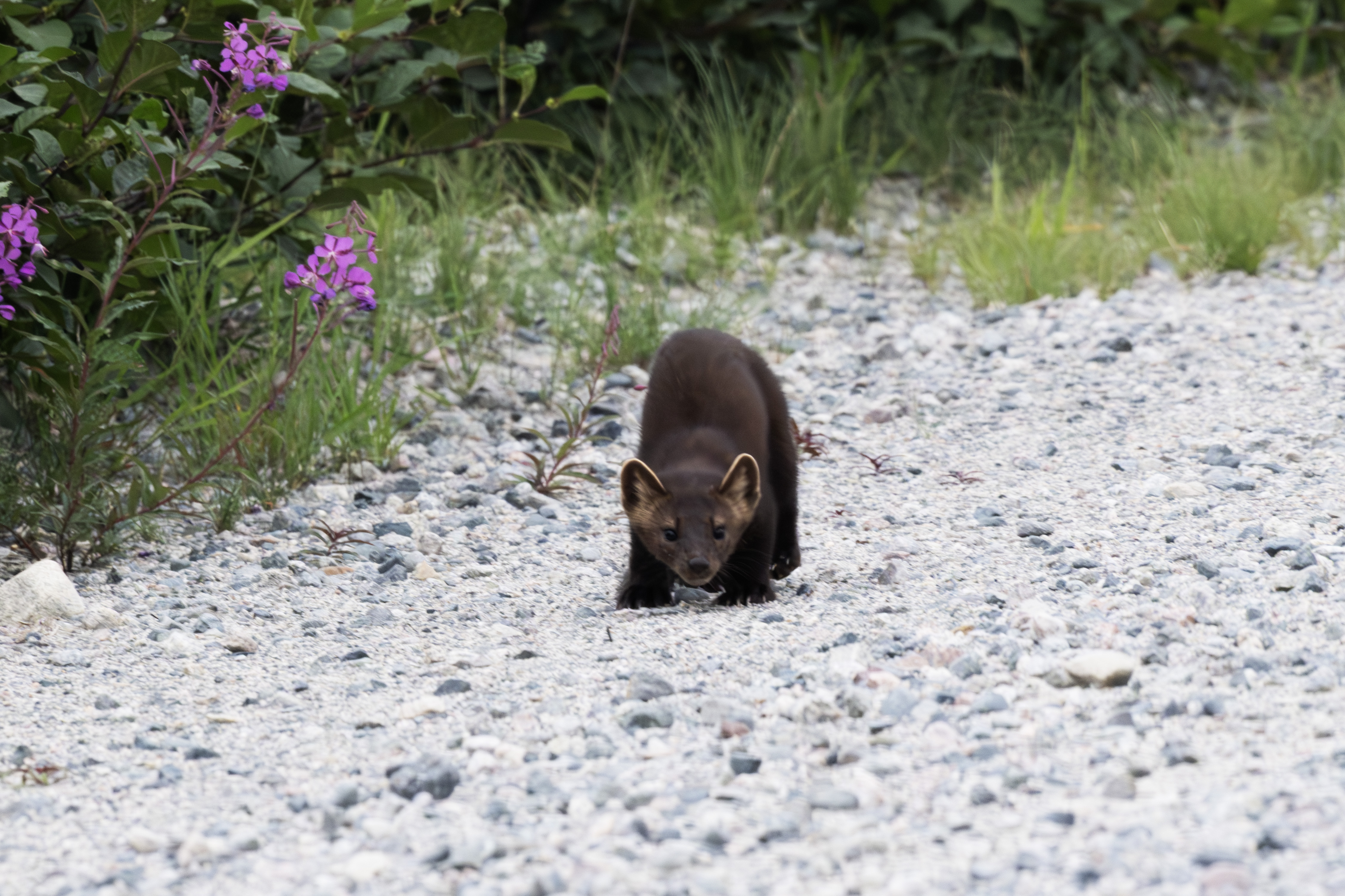
Had a good look at me. I was about 30 yards away.
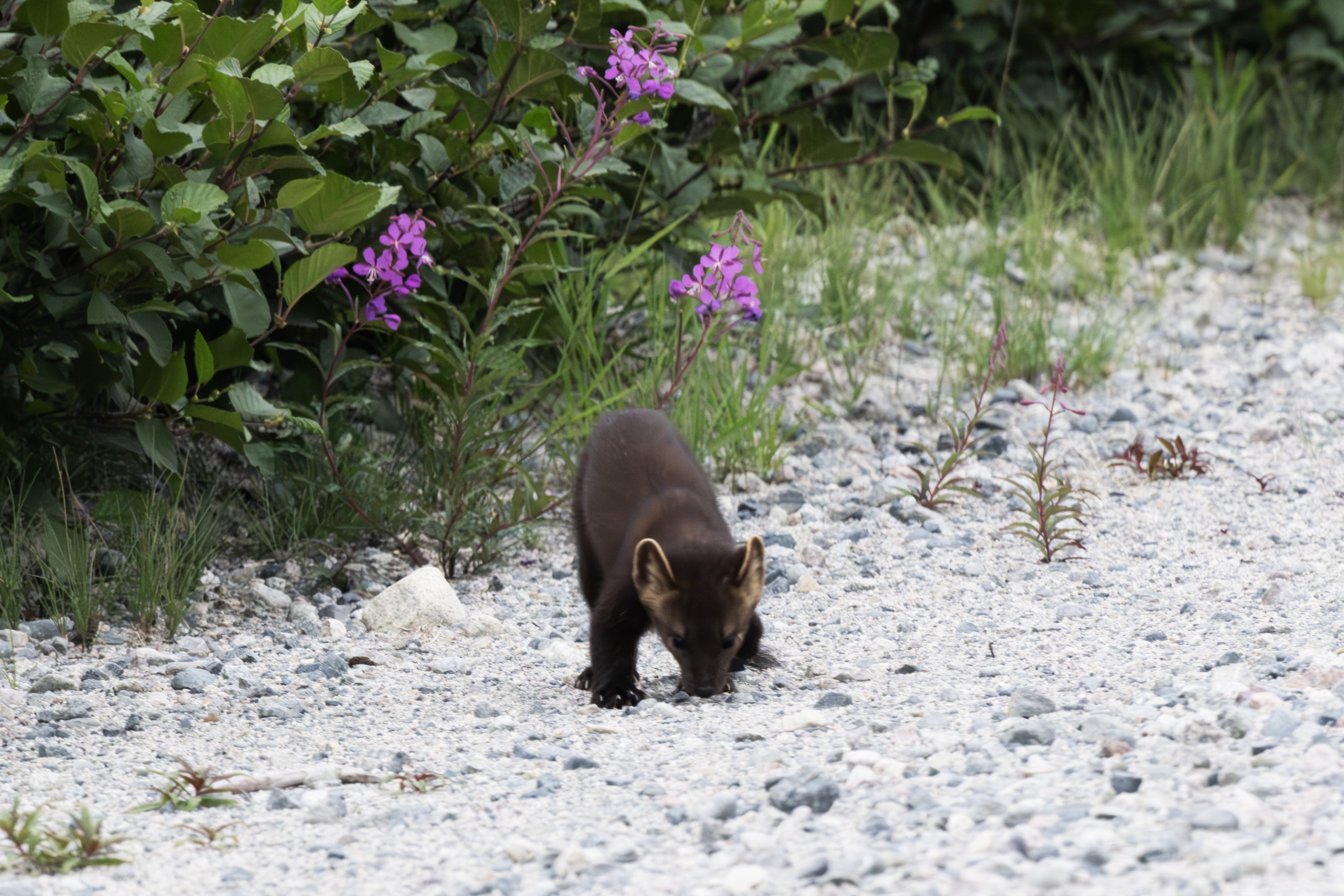
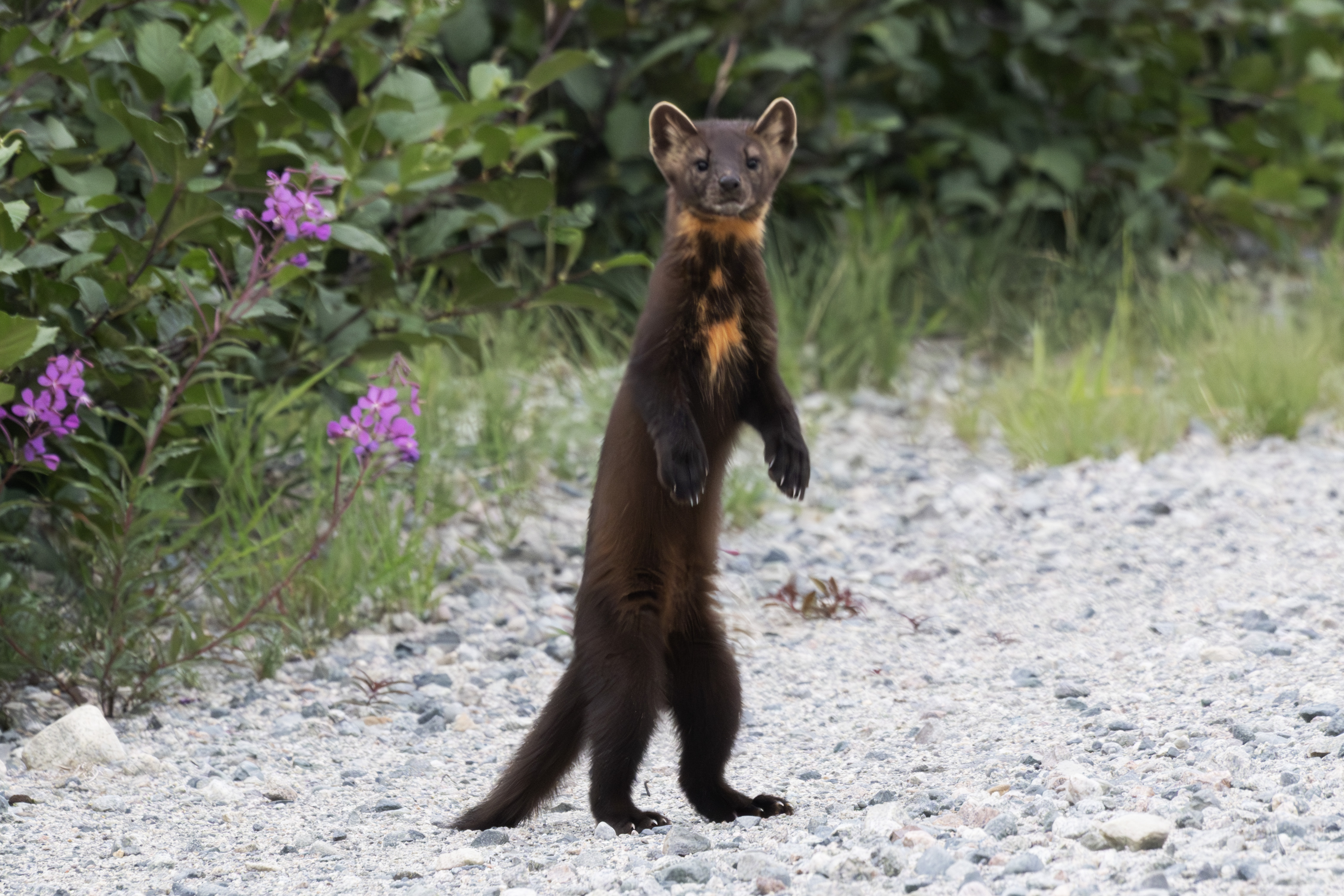
Still looking at me.
This is the end of Part B. Click here for Part C. Click here for Part A.
The adult had just left.
July 25, now headed east toward Brisay. Snowshoe hares were common roadside, especially morning and evening.
A fen that crosses the road.
The other side of the road.
Quebec has many of these sloping hillsides, but they were tough to get a good photograph.
Another fox, near the truck.
Three small Brook Trout, which I really worked for on a rainy Saturday afternoon, July 26th. Once again, found these in the rapids at a creek crossing.
A really nice Brook Trout caught at the south culvert. I had to switch the lure 5 times before this female finally took a grub.
Now at the dam at Brisay. Caught 3 Lake Trout on this overcast day, all on a five-of-diamonds lure. They are from 25-28 inches. Caught these in the overflow channel just above where the water meets the dam flow through.
Here is the third Lake Trout.
I caught these below an observation deck just near the dam, as you can see. This information sign was posted listing 6 common fish, in French. From top left to bottom right, Lake Whitefish, Long-nose Sucker, Northern Pike, Brook Trout, Lake Trout, and Atlantic Salmon.
Here are 3 photographs of the observation deck. This first highlights the hydroelectric power plant.
This photograph highlights the overflow channel, on the left, where I caught the Lakers, just where it meets the dam flow through. There is no path down, just a scramble over big rocks, and it gets a little dicey at the bottom, with large flat wet and slippery rocks, so one needs to be careful. Not sure I have many years left to fish here!
Closer shot of the hydroelectric power plant. I took my boat up the left channel in 2018, cautiously.
On July 30, I left the Trans Taiga for the 381 km rest stop. A rainy day, and I photographed this wet hare.
This one was not easily spooked, and seemed curious.
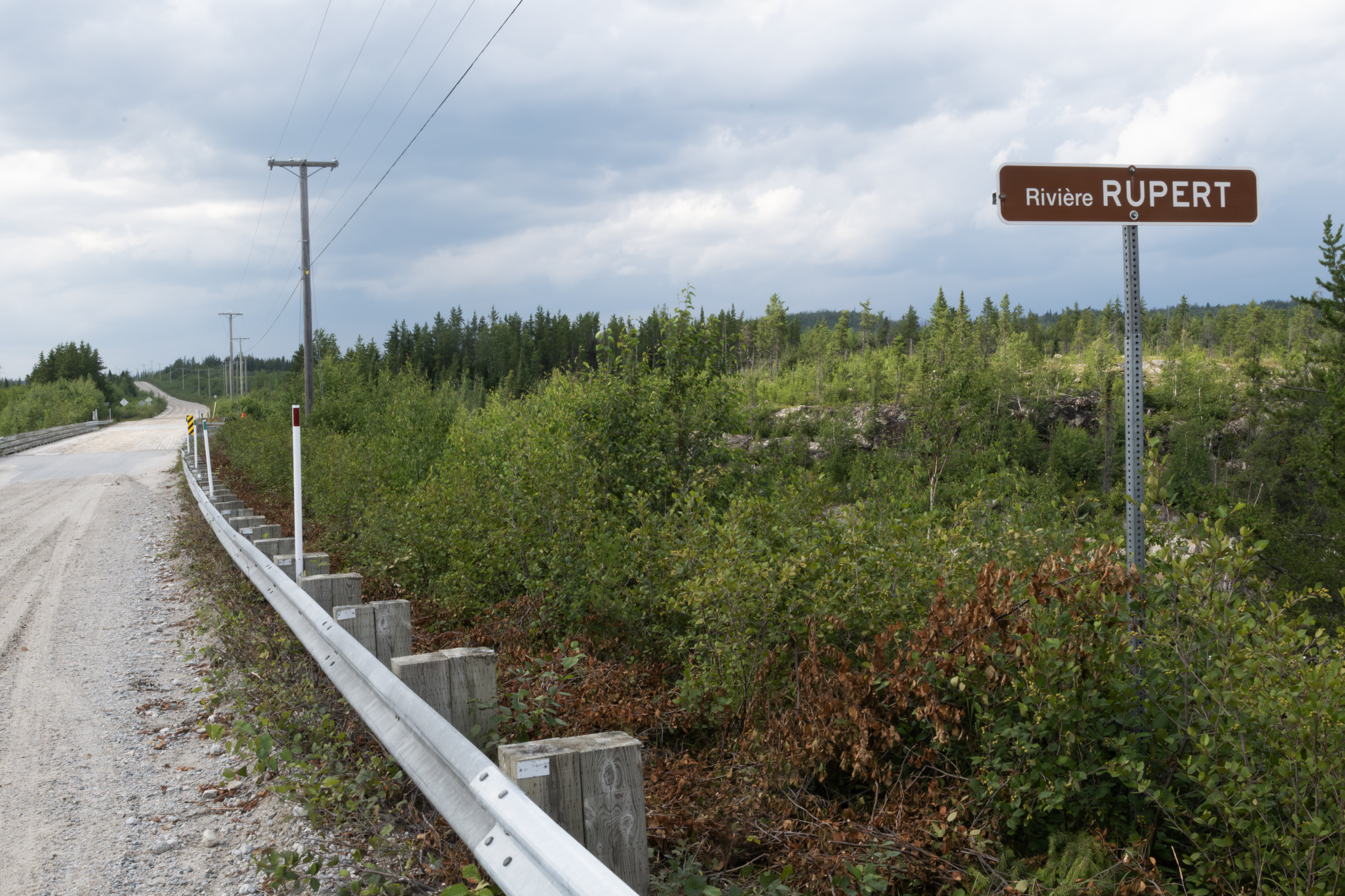
The bridge across the Pontois River. This is the same style of bridge as what crosses the Rupert River along the James Bay Road.
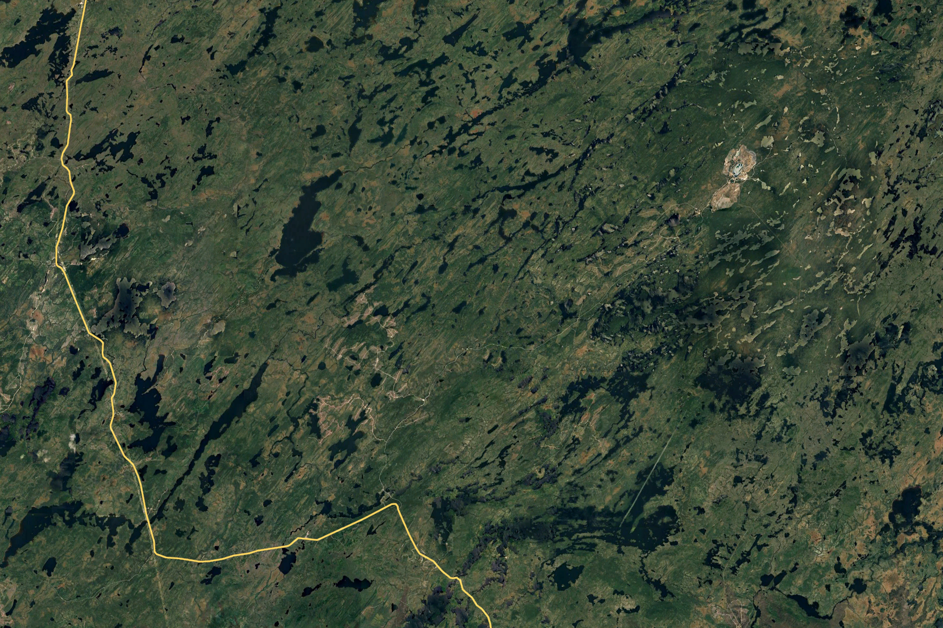
I spent the afternoon at the 381 km rest stop, and camped just a km or so on the Muskeg Route, which is a road connected to several others to service the dams on the Eastman River, which drains Lake Mistassini, the largest in Quebec and to where I was headed for a few days. These roads connect the Route de Nord just east of Nemiscau to the James Bay Highway 10 kms north of the 381 rest stop.
I stopped for this photograph at the first intersection on the route, seen in the above headed north along the lake. I would travel to the dam marked on the above photograph.
This area was a boreal desert.
Looking north a little farther down the road.
The levee for the dam. The road continues to the right (south) and the dam is just a km away.
This is part of the dam. The HydroQuebec workers have been working without a contract since Dec 2023 and are not very happy. On the TTH, I saw a bus covered with similar sentiments.
Spent the night parked right on the dam, this is looking northwest at sunset.
Next morning, July 31, spied this eagle on the levee.
Late afternoon, Kestrels were feeding along the levee on dragonflies. Tough to photograph, camera shy, but took a few.
This one returned to this perch several times, offering me a better photograph.
Another group of camera shy Canadian Geese.
This Tern flew by in the evening.
The dam.
The outlet channel. No way to get down there to fish.
Just above the dam. No luck with fish here, just a few small northern pike.
About 10 km south of the dam on August 1, I crossed a neat stream, but no fish here.
About 55 km from here to the Route de Nord. A second dam is to the right, but I did not visit.
Same intersection.
I am now embarking on the southern part of the Eastman Route, with the heavy yellow road the Route de Nord. I saved about 90 minutes taking this route, as the Route de Nord also connects to the James Bay Highway but veeers further south.
Another stretch of the Route de Nord.
And more.
This is my destimation, marked with the yellow marker. Would not make it until August 2, a rainy Saturday.
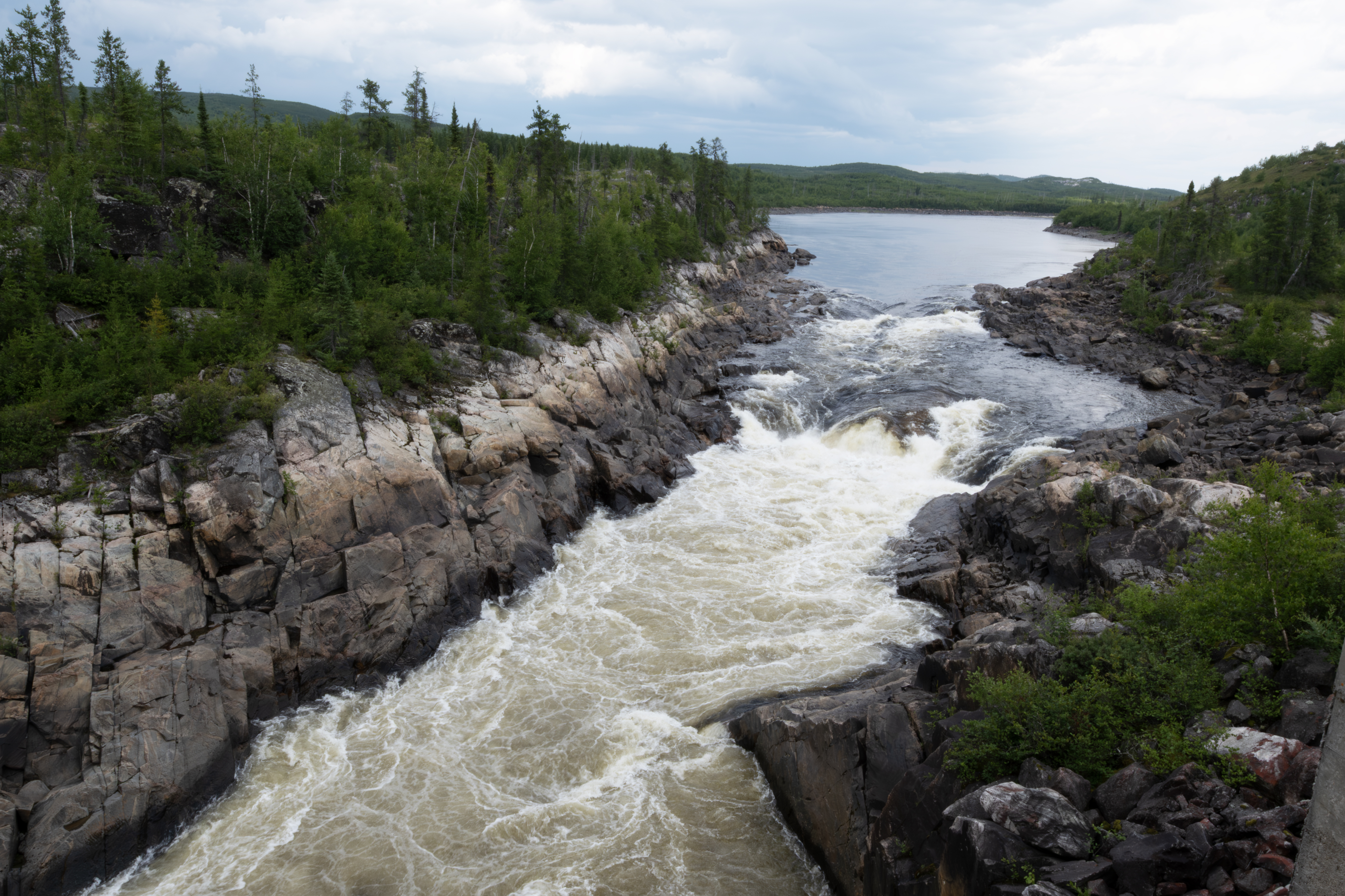
Did cross the Ruper River late in the aftenoon.
Looking upstream to the north. Did try fishing, but no luck, with spotty weather.
Looking downstream to the south.
The omnipresent one, near my evening camp site.
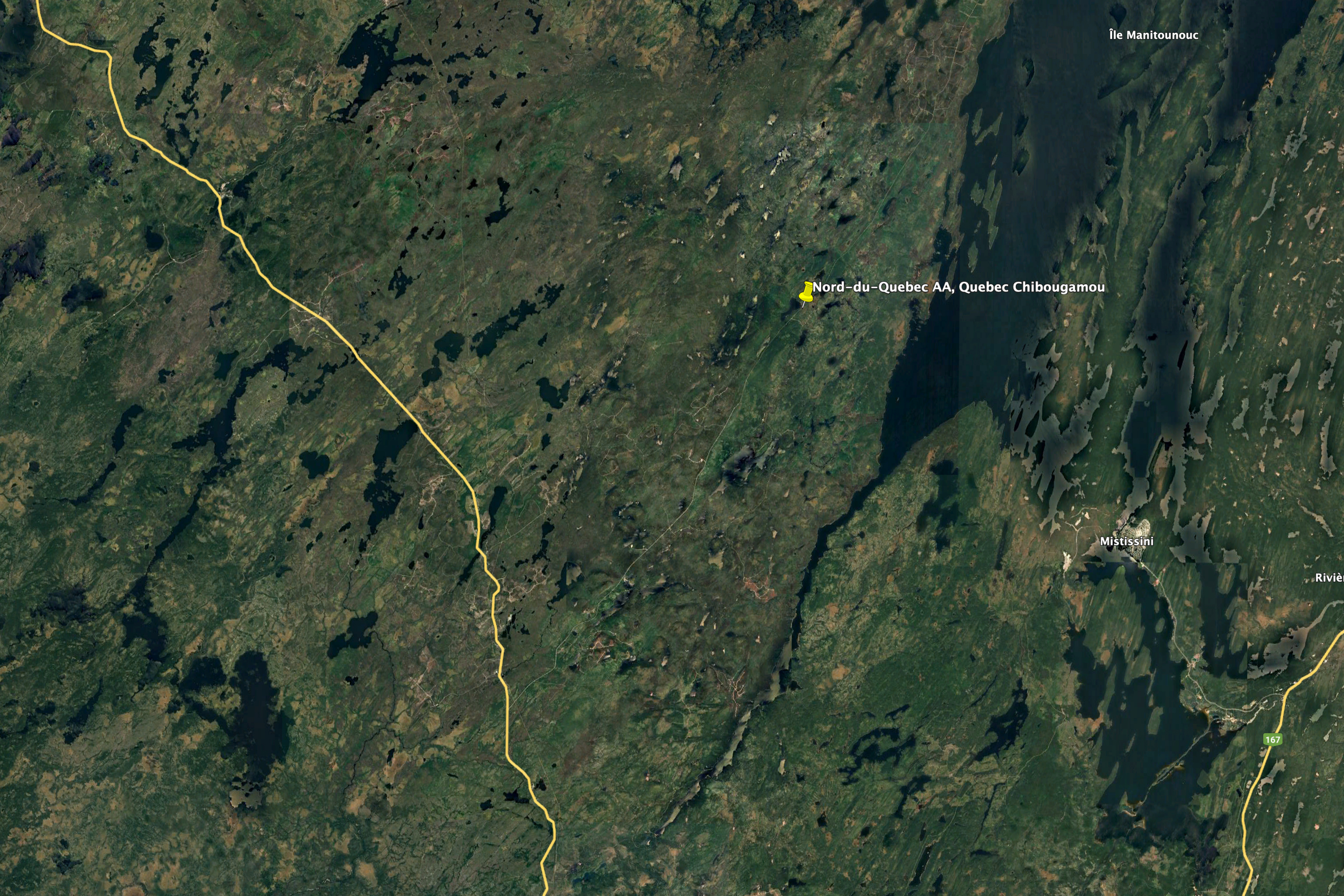
August 2, I am on Route 1033, a forest road that branches from the Route de Nord at about the 45 km marker. The Route de Nord starts about 10 km north of Chibougamau, and ends on the James Bay HIghway, more later. I fished a small lake at the outlet drainage for the next three days, and caught several eating size northern pikes each day. Here are the first two.
I parked here for 3 days, here is a photograph of the west end where I fished.
Smallest northern pike that I ever caught, about 7 inches long.
I released this one after the photograph.
Caught this on August 3th. I caught 2 a day for the first 3 days, and then no more. I believe I caught all the fish in this lake, as it is very small and has no access for fish at this time of year.
The last 2 nice ones that I caught.
Morning on the lake, which is unnamed.
Dytiscus larvae, diving beetles, were feeding on the northern pike remains the next few days.
A worker driving a large vehicle started to clear the fire damaged trees.
Here are several piles from the cleared fire damaged trees. I spoke with the supervisor, they then reseed the forest after this work.
Working on a hillside.
Another view.
Impressive vehicle, multipurpose.
Another view of the vehicle.
I was walking the road about 1 km from my truck when I met the worker. When I looked down the road, saw this young wolf headed our way.
A close-up.
I waved the driver over, who came and stood with me until the wolf ducked into the woods. He only spoke French, so we communicated using sign language, so to say. His name was Marc. I went back to the truck for bearspray, and as I walked the wolf came back to the road once more, but then disappeared. I was parked along the lake and if the wolf had continued toward me, it would have been visible. Never saw it again, though.
The lake the morning of August 5th.
A small pond at about 100 km on Route 1033.
Garter snakes were occasional on the trip.
August 6th, now about 2 hours south of Chibougamau. Early morning view of spider webs
Satytrium liparops, about at the northern end of it's range.
Polygonia faunus.
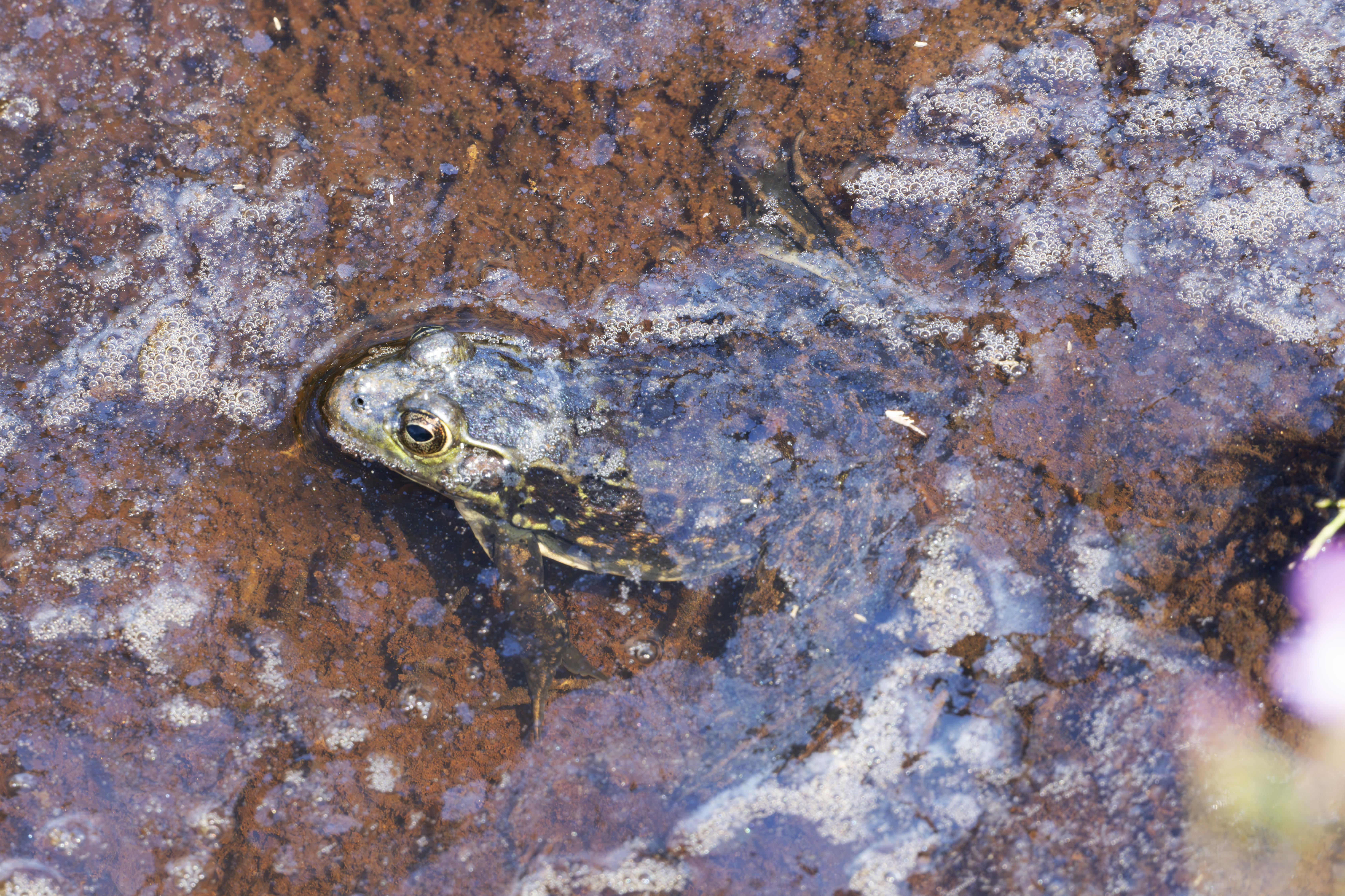
On August 7th, I returned to Route 1033, hoping for good weather and more P. faunus. Toward the end of the day, took this photograph as an aferthought, as I thought this was a Green Headed Frog, but this is a Mink Frog, first time I have encountered one.
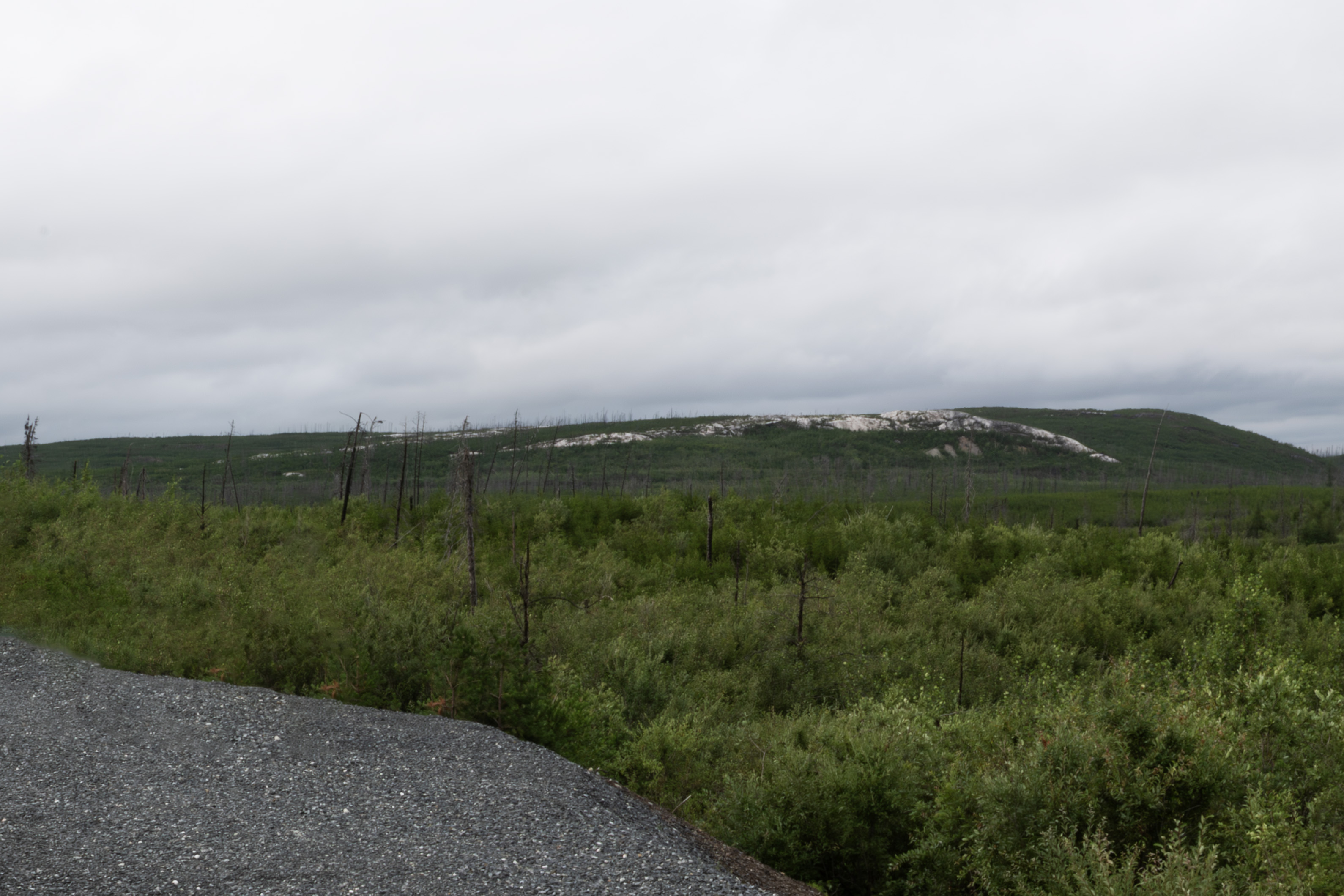
This geological feature, a prominent hill with exposed rock and surrounding vegetation, is part of the Canadian Shield, and is characterized by Precambrian rocks.
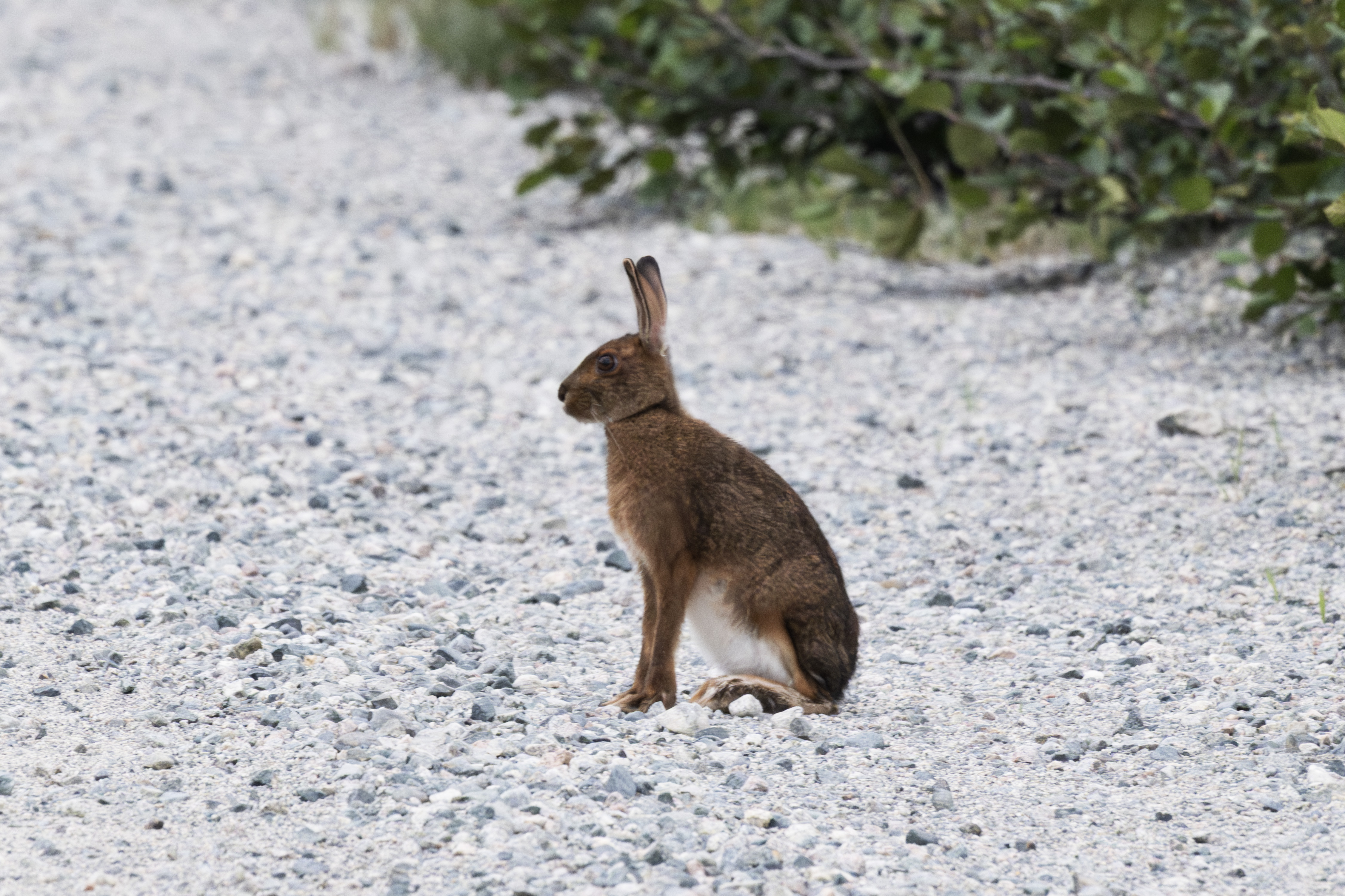
I decided to return to the TTH as P. faunus was probably flying. I drove past Nemiscau, and parked on the Muskeg Route for the night. Next morning, I started a slow drive back to the 381 km rest stop, seeking P. faunus. At 7 AM, I spied this Snow Shoe Hare, and positioned myself for a few photographs, when another animal appeared on the other side of the road.
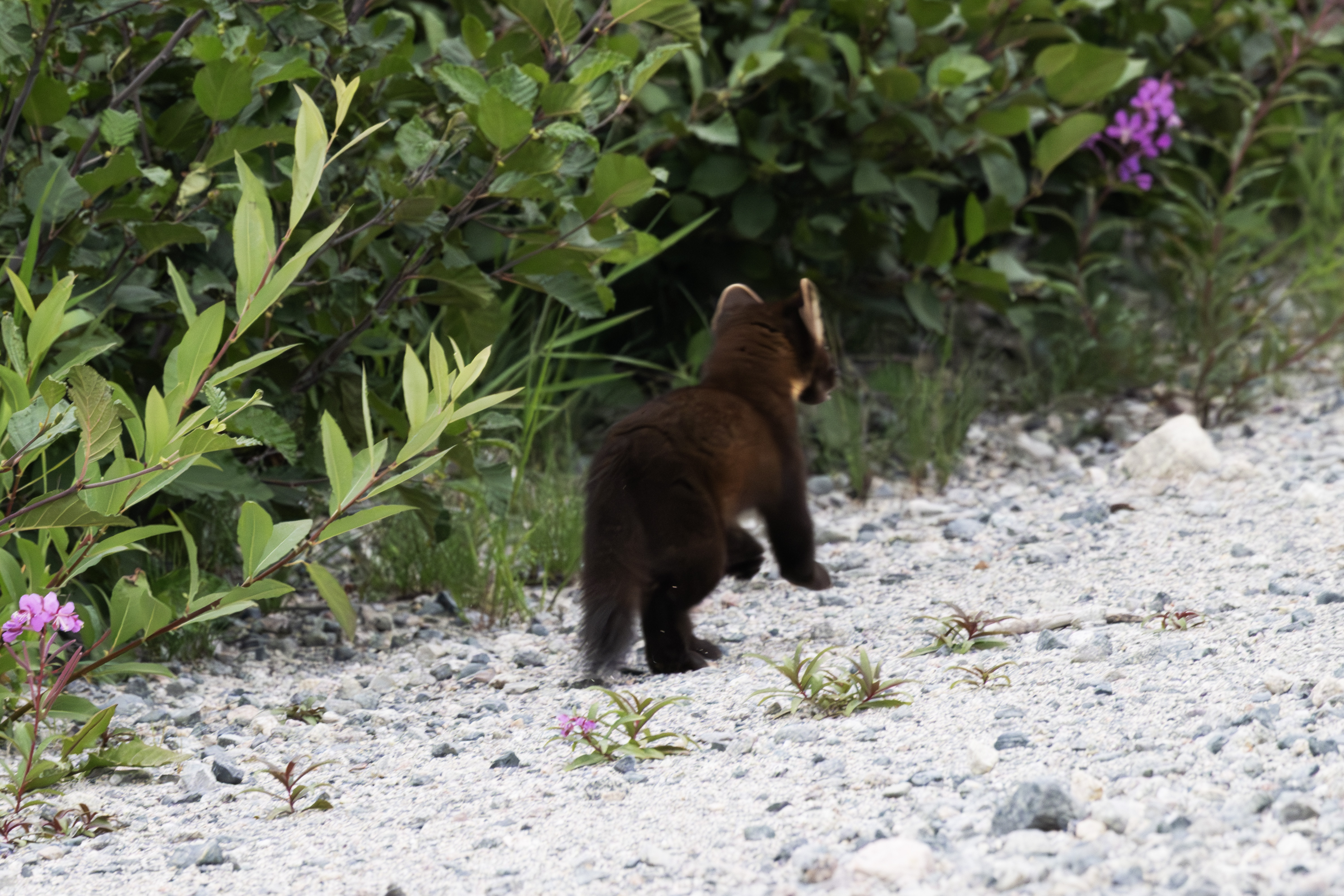
It was an American Marten! Must have been stalking the hare when I arrived, and I had probably blown it's cover.
The marten positioned itself right across the road from the hare.
Had another look at the hare.
And turned back toward me.
Another look at the hare.
Sniffed around.
Seemed indecisve.
Watching the hare.
Then focused it's attention on the intruder.
Had a good look at me. I was about 30 yards away.
Still looking at me.
This is the end of Part B. Click here for Part C. Click here for Part A.