2019 Hike to Alpine
Tundra above Valaite
Lake in the Wind
River Mountains
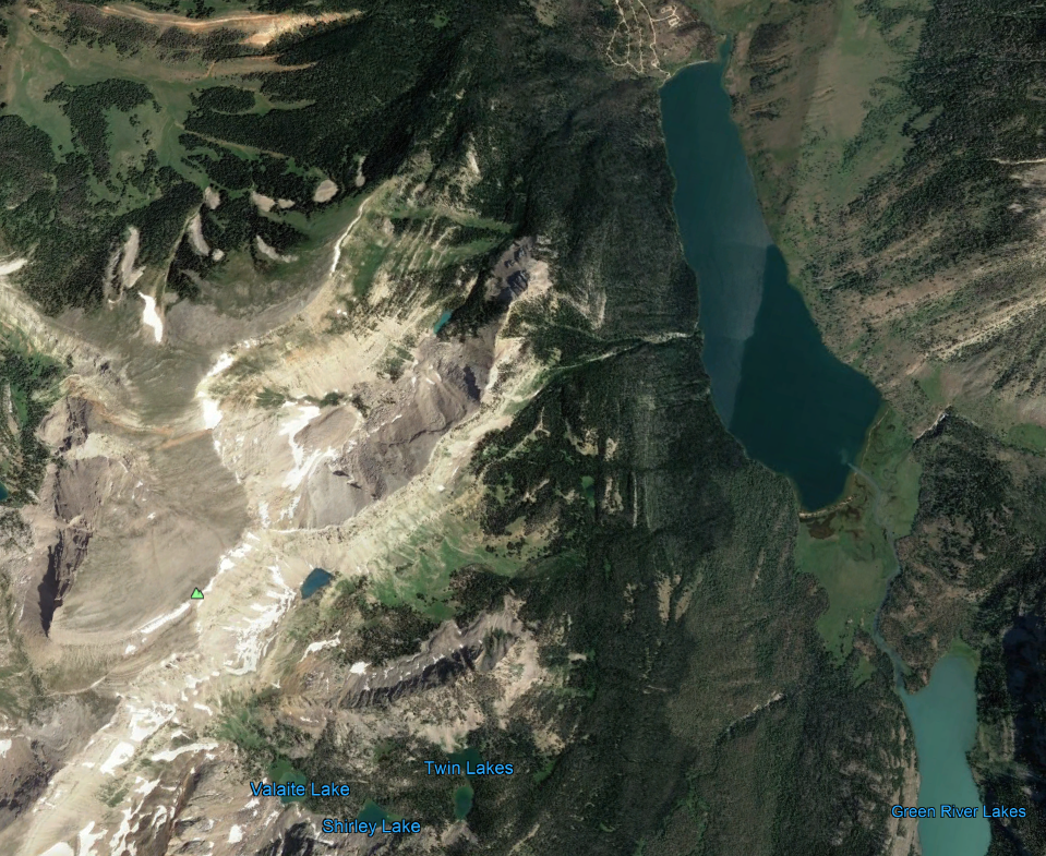
July 28 and August 12 hike photographs
are shown. I started at the trailhead at
the north end of the Green River Lakes,
where the roads are visible. Took me
about 2 hours to get to the Twin Lakes
Trailhead, with 75 minutes flat hike along
the lakes, and the rest uphill to a meadow,
the Twin Lakes Trail trailhead. The
trailhead is the tiny grassy area just to the
right of the words 'Twin Lakes'. The
glacier I reference later is just a half inch
to the upper left of Valaite Lake in this
photo. On these hikes, I left at 8 am and
got back to the camper around 7:30 pm.
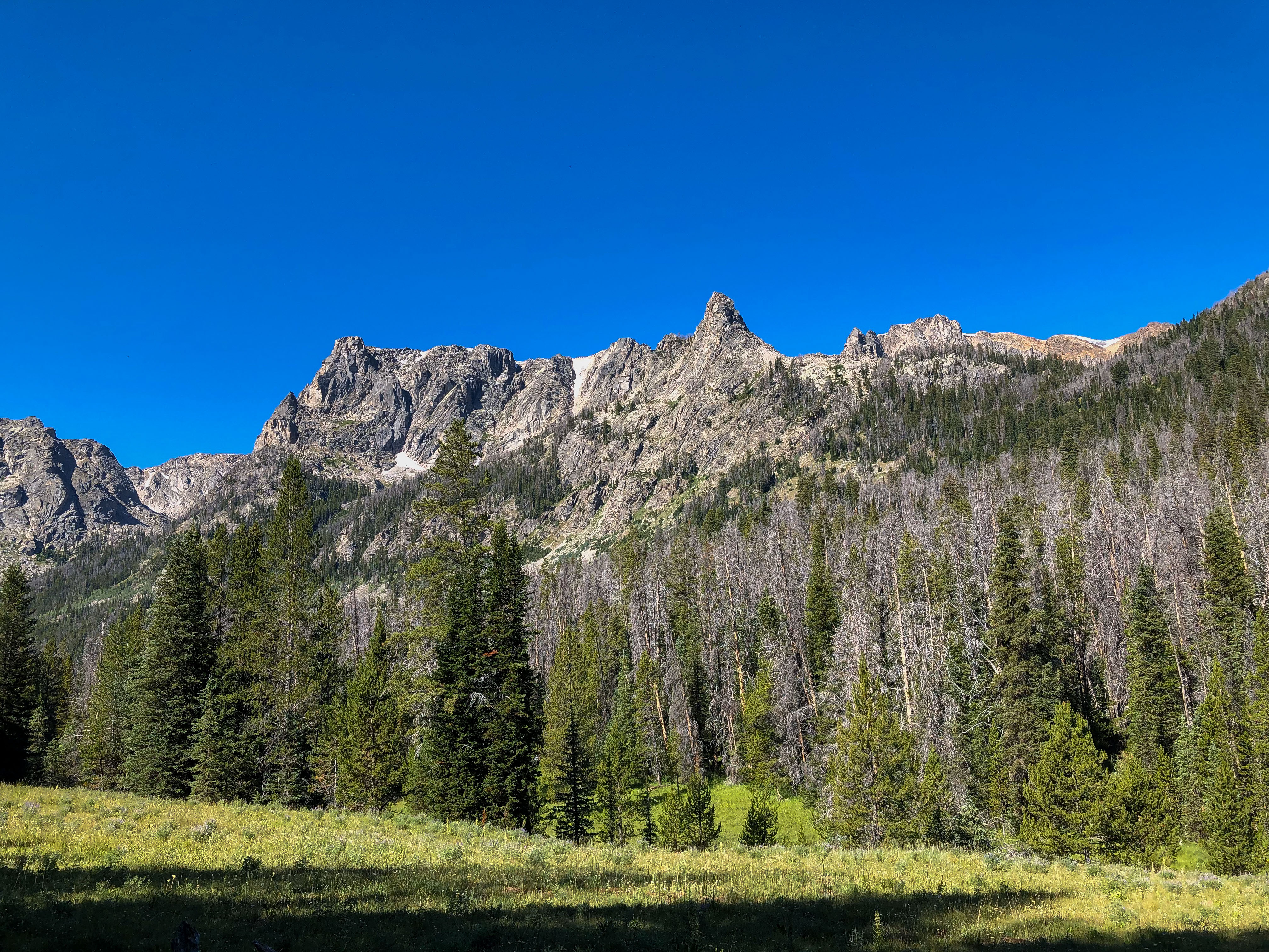
The trailhead for the Twin Lakes.
The trail enters the woods at the back of
the meadow.
Another shot.
Another shot.
These photos were actually taken in the
afternoon.
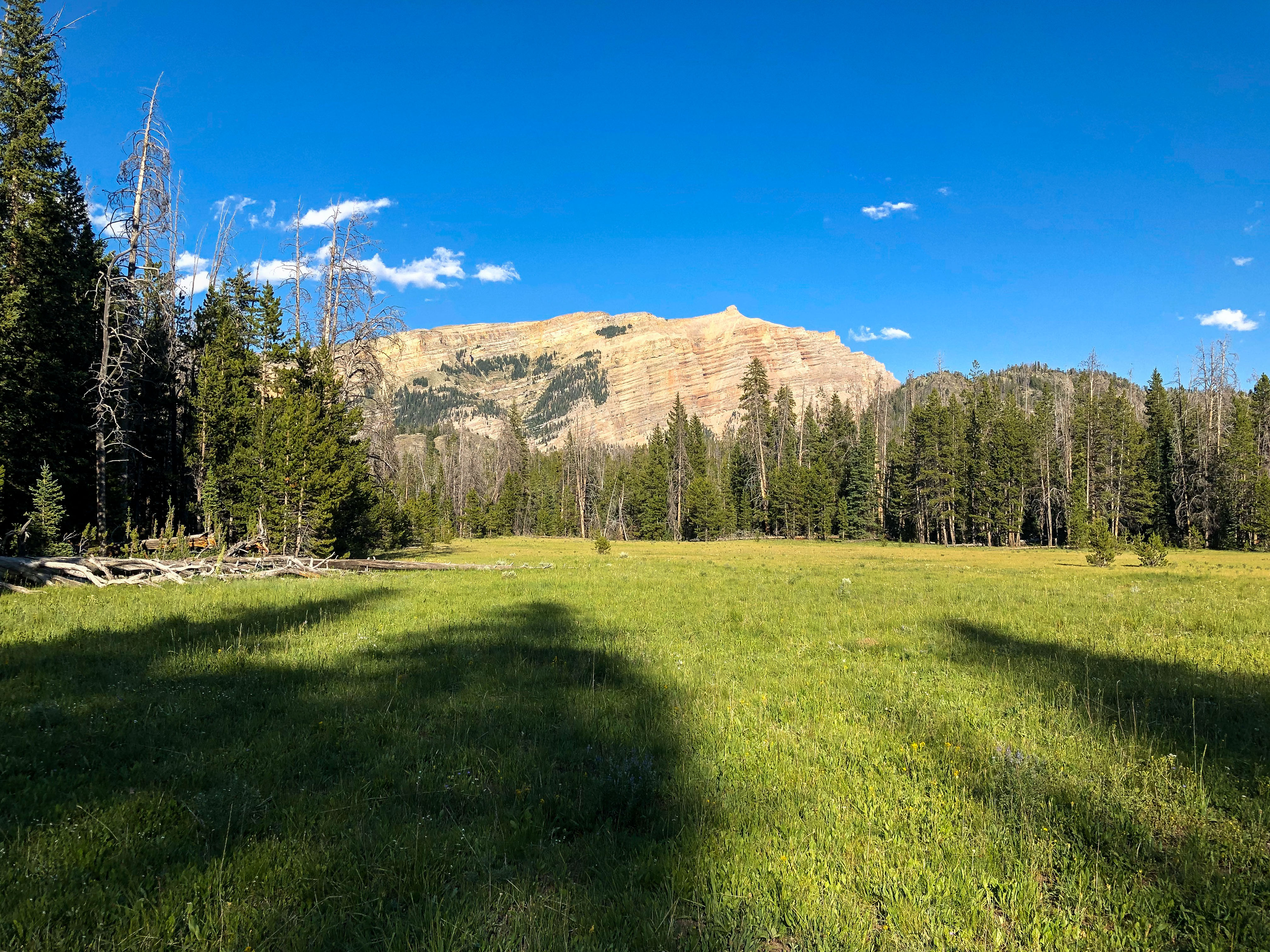
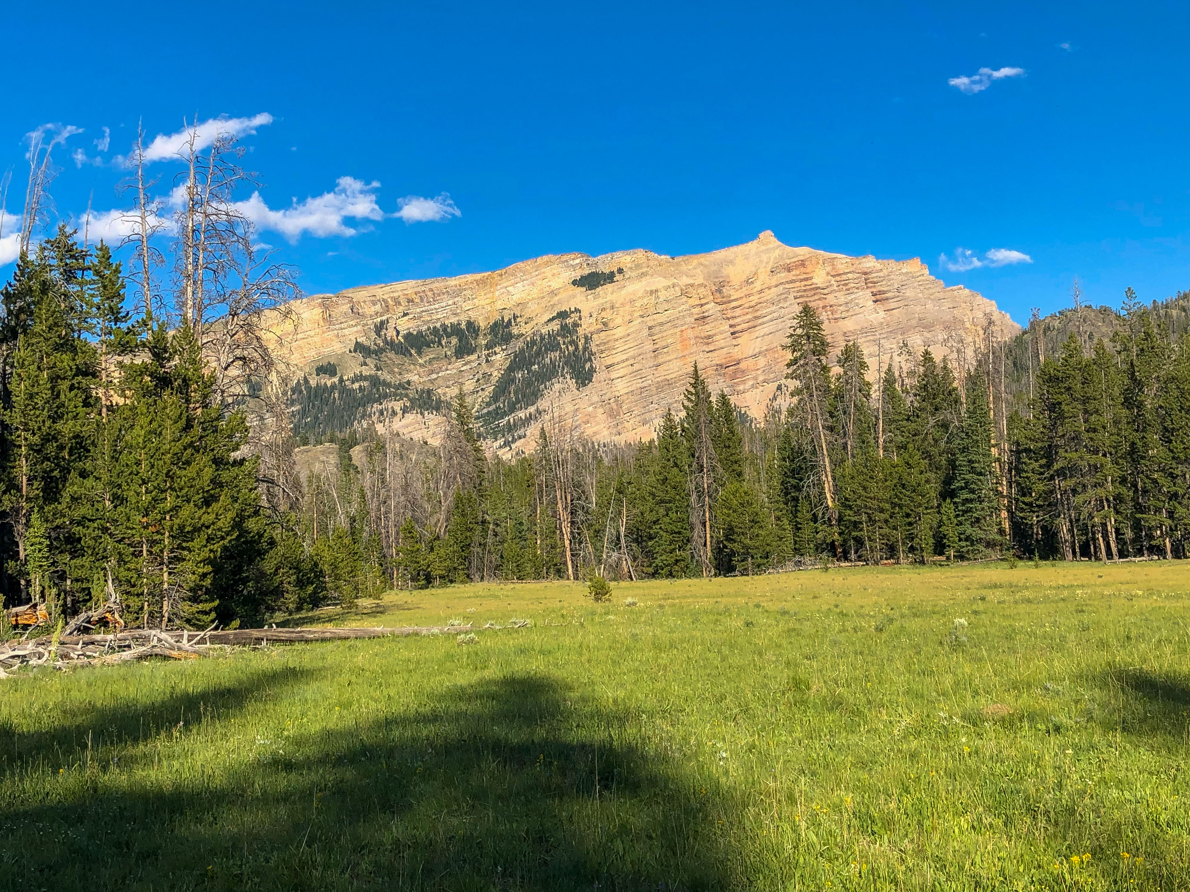
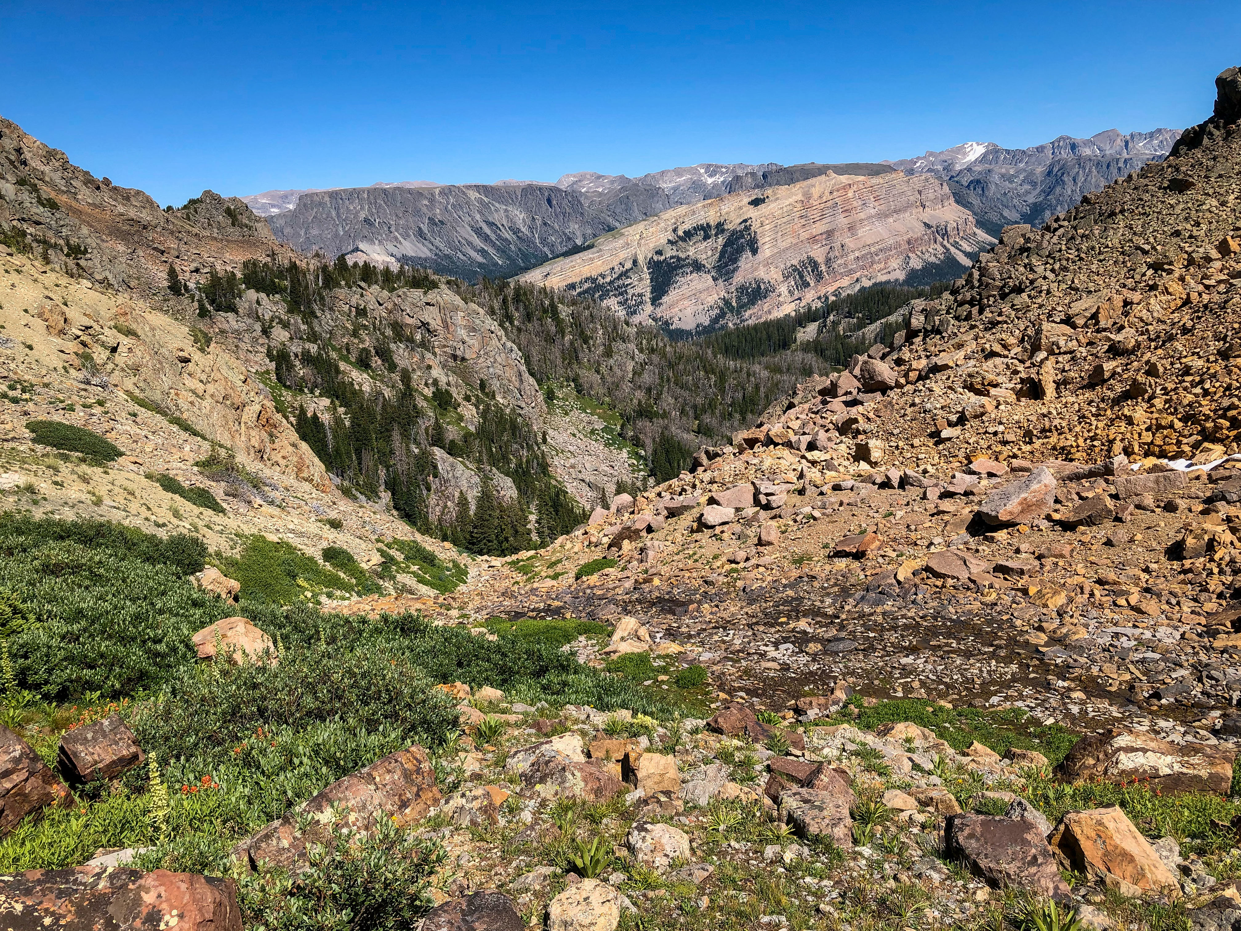
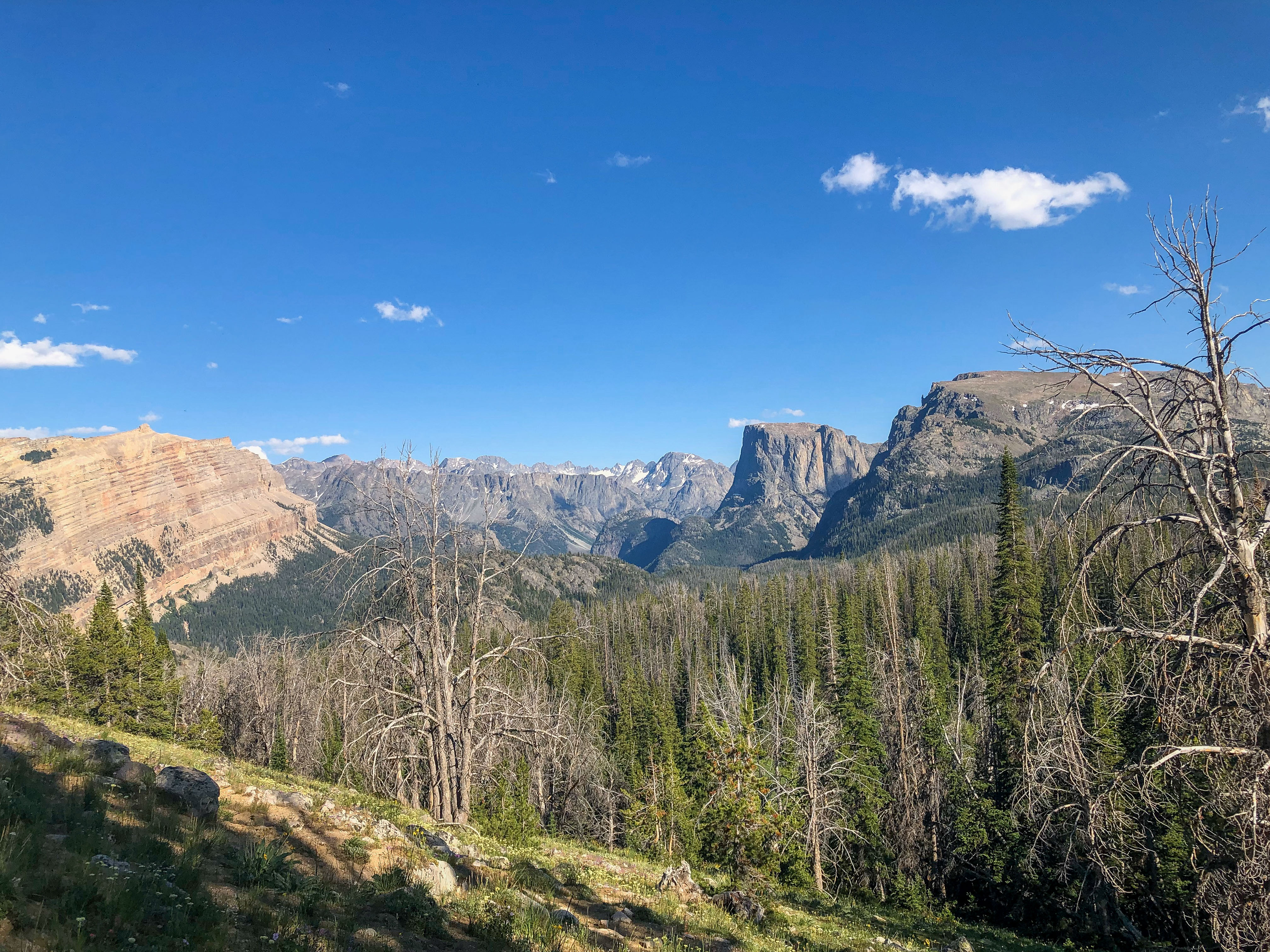
This bluff is visible in some of my higher
elevation photos that are shown below.
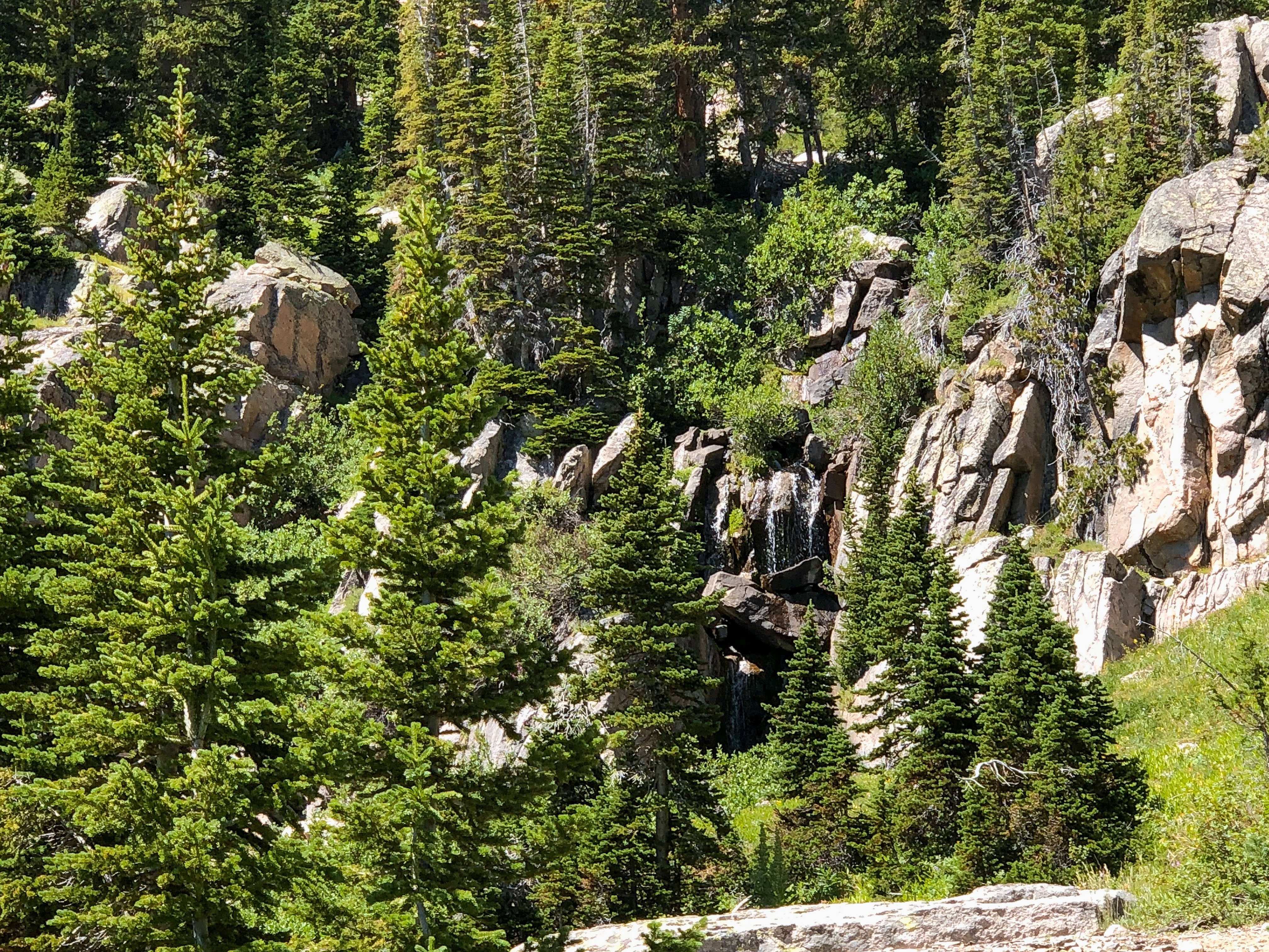
This is at the back of the last lake, Valaite
Lake. In the center of the photo is
run-off from the glacier, feeding the lakes.
Water is visible just off the right of
center. I hiked to the right of this photo.
This is in the center of the Twin Lakes,
through which the trail passes. This is
two lakes below Valaite.
Near the top of the overgrown scree
slope that rises above Valaite Lake.
Really good spot for butterflies, including Kriemhild Fritillary.
At the back of Valaite Lake, near the
glacier flow inlet.
Another view at the inlet.
To the north of Valaite Lake.
Another view from the inlet.
A panorama.
This is at the north end of the Twin
Lakes.
Nice view of Valaite Lake.
This is 4 hours into the hike. I hike
through the rockslide gap just visible to
the left of center, and in about an hour
make it to the glacier.
Another view of the route. I hike to the
right side of the snow pack in the middle
of the photo, and then head left under the
grass-covered ridge, to just below the
glacier if the left center of the photo.
This is the meadow that I shot the gap
photos. Really good spot for the Kriemhild Fritillary.
The gap hike is steep and has treacherous
footing, and some of the very large
boulders are unstable, so I stay to the
right.
The incline is about 45 degrees, so it's
slow going. Note the large plant on the
hillside, this is Elkweed.
Elkweed produces flowers only once in
its lifetime of 20 to 80 years and then
dies. It is thus called a monocarpic plant,
i.e., one which grows many years,
flowers once, then dies. Perhaps the
most well know monocarpic plant is the
Southwest's Century Plant. Periodically,
large numbers of Elkweed flower in
unison. When such a coordinated
flowering occurs, hundreds or even
thousands of plants flower within a small
area (often a sunny, open, grassy hillside,
as shown in the previous photo). This
was the case through the Wind River
Mountains in 2019.
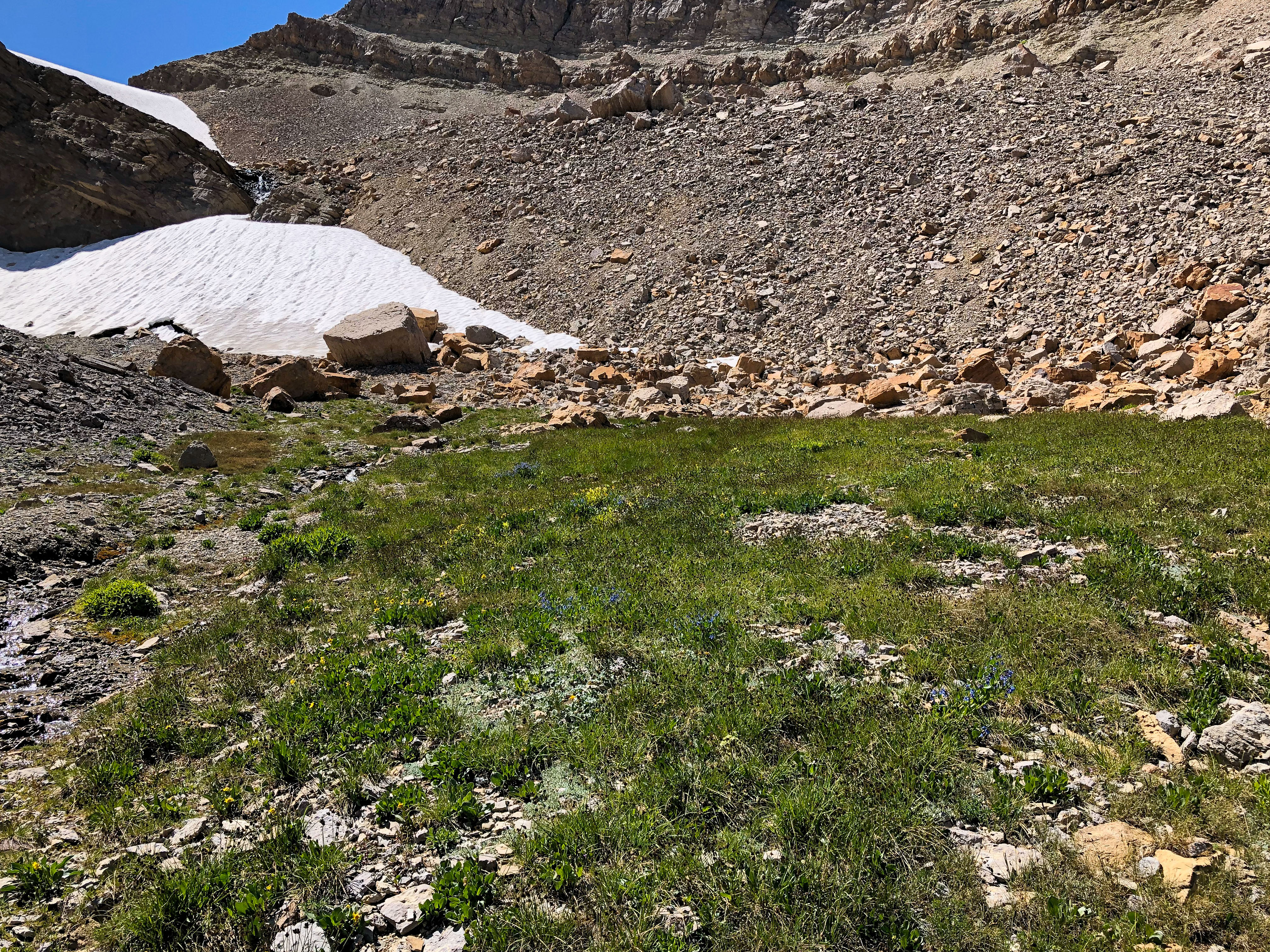
Looking back to Valaite Lake.
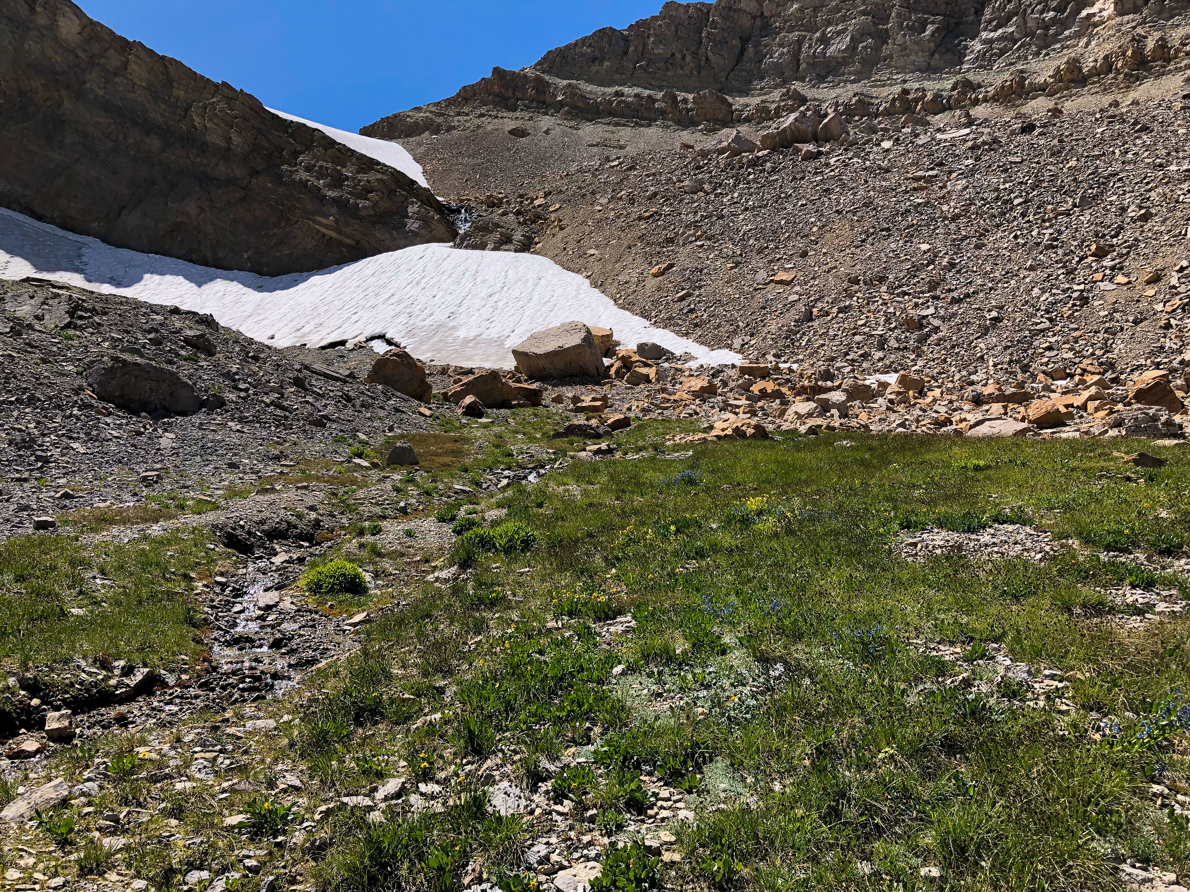
Now I am at the high end of my hike. I
had lunch here, and collected a few P.
occidentalis and P. glandon, females of
the latter. I took B. improba here in
2003, but found none on this trip.
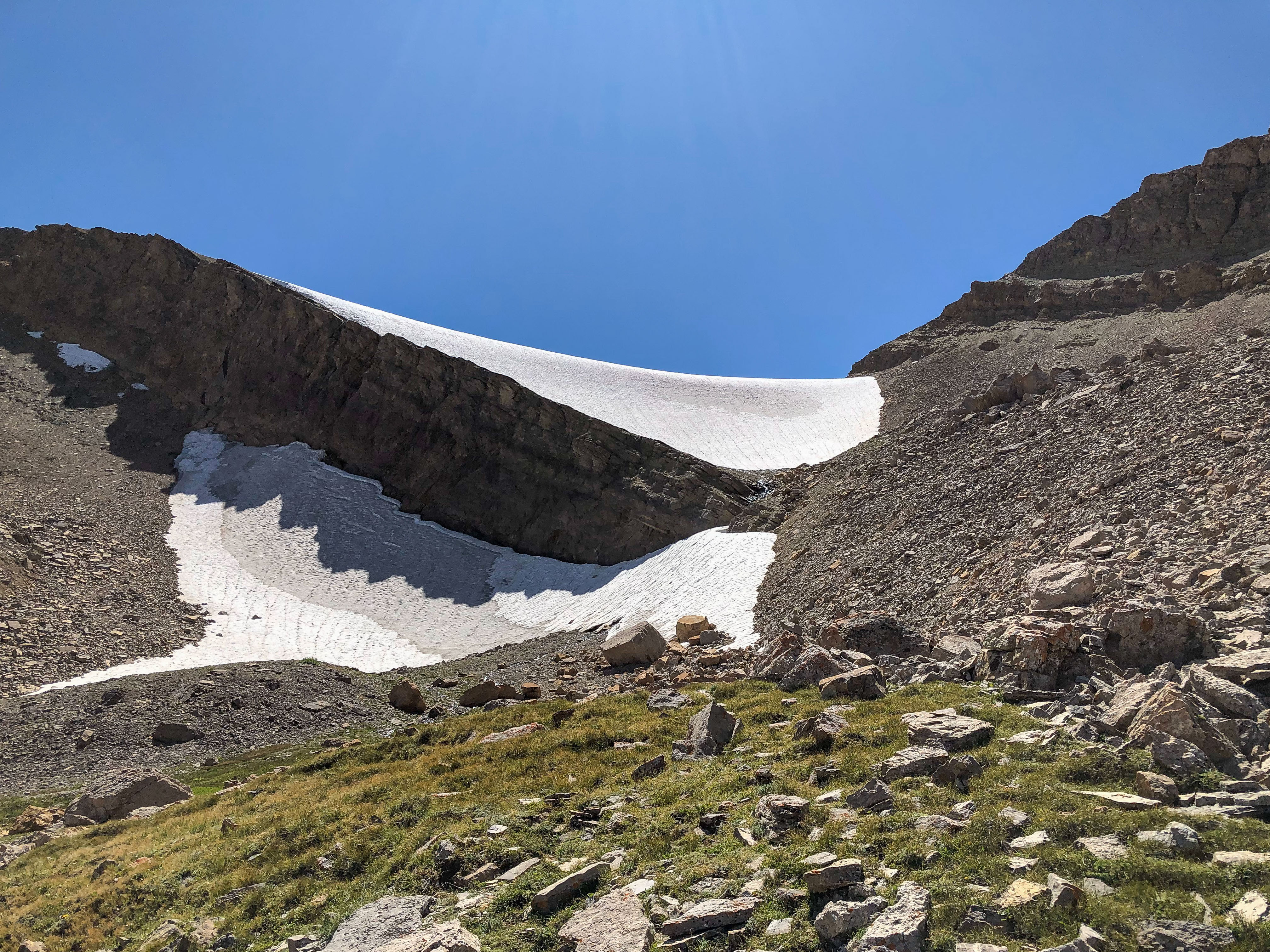
Another view of the glacier, which is a
really tiny thing, relative to the glaciers
found in Canada and elsewhere.
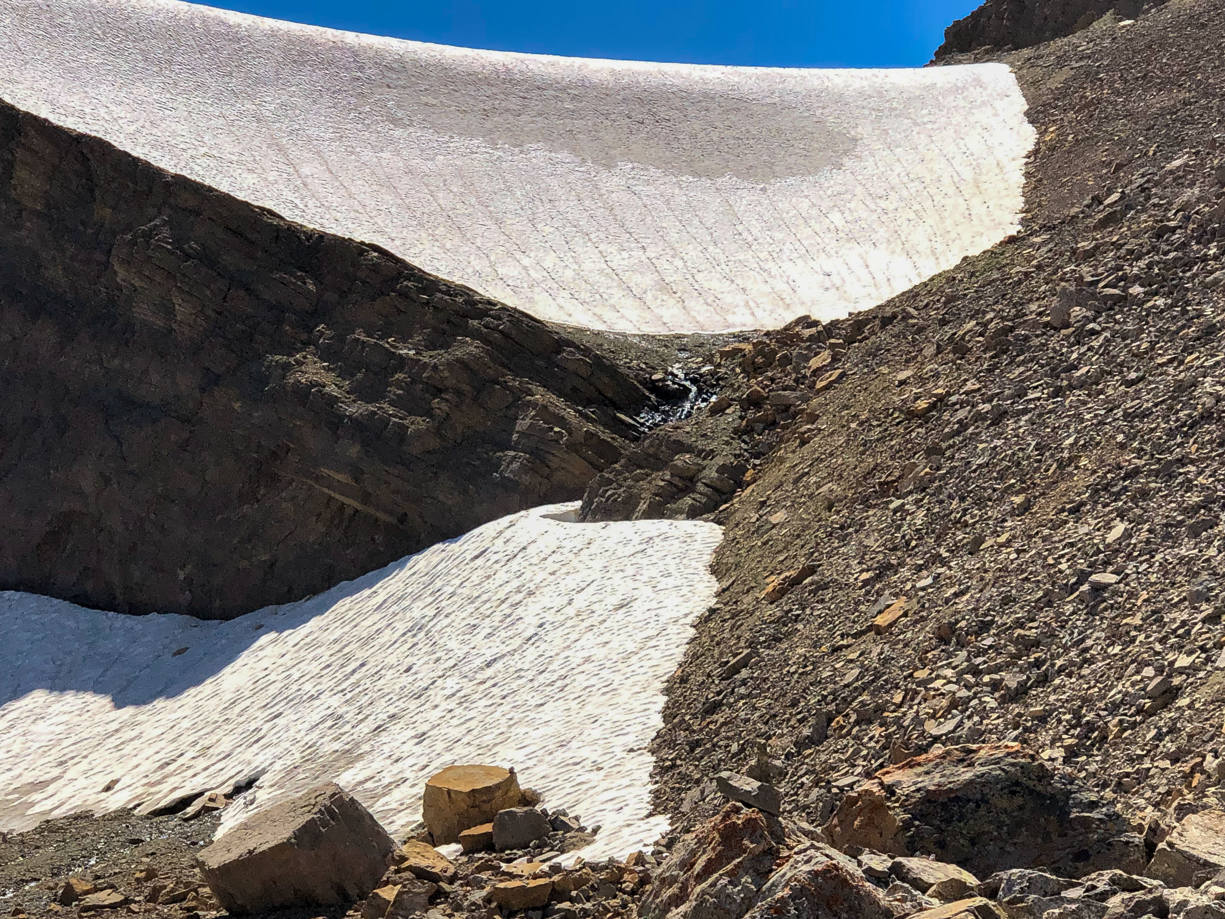
Nice view of the glacier.
Another view.
This is alpine tundra, this is Salix
reticulata, the host plant for B. improba.
A closer view.
Now looking back to the trail, which
bends around the dip left of center. The
footing is really soggy here.
Closer view. I did find C. whitneyi and
E. magdalena here.
Another view back to the Green River
Lakes.
Took this around 4 pm on August 12th,
as I started back. Takes only 3.5 hours
to return, and the hike is all downhill.
Caught these on July 27, the day before
one of my hikes. Each was 20 inches,
and caught in the Green River, using a #1
Mepps with 4 lb test. My first Brown
trout.
Previous photo was a little out of focus,
but this one is sharp.
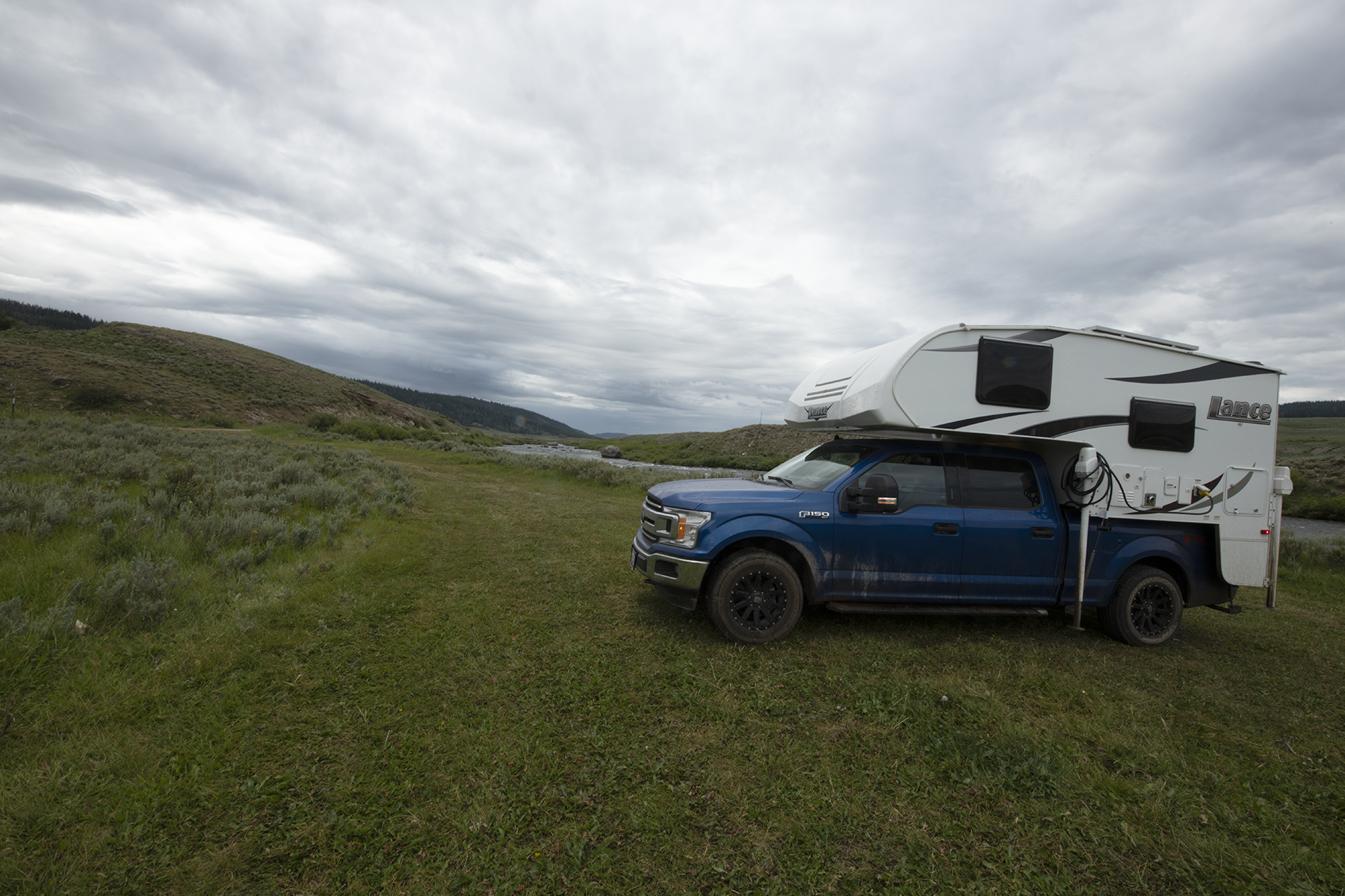
Camped along the river for 2 days, before
moving to Idaho.
Tundra above Valaite
Lake in the Wind
River Mountains
July 28 and August 12 hike photographs
are shown. I started at the trailhead at
the north end of the Green River Lakes,
where the roads are visible. Took me
about 2 hours to get to the Twin Lakes
Trailhead, with 75 minutes flat hike along
the lakes, and the rest uphill to a meadow,
the Twin Lakes Trail trailhead. The
trailhead is the tiny grassy area just to the
right of the words 'Twin Lakes'. The
glacier I reference later is just a half inch
to the upper left of Valaite Lake in this
photo. On these hikes, I left at 8 am and
got back to the camper around 7:30 pm.
The trailhead for the Twin Lakes.
The trail enters the woods at the back of
the meadow.
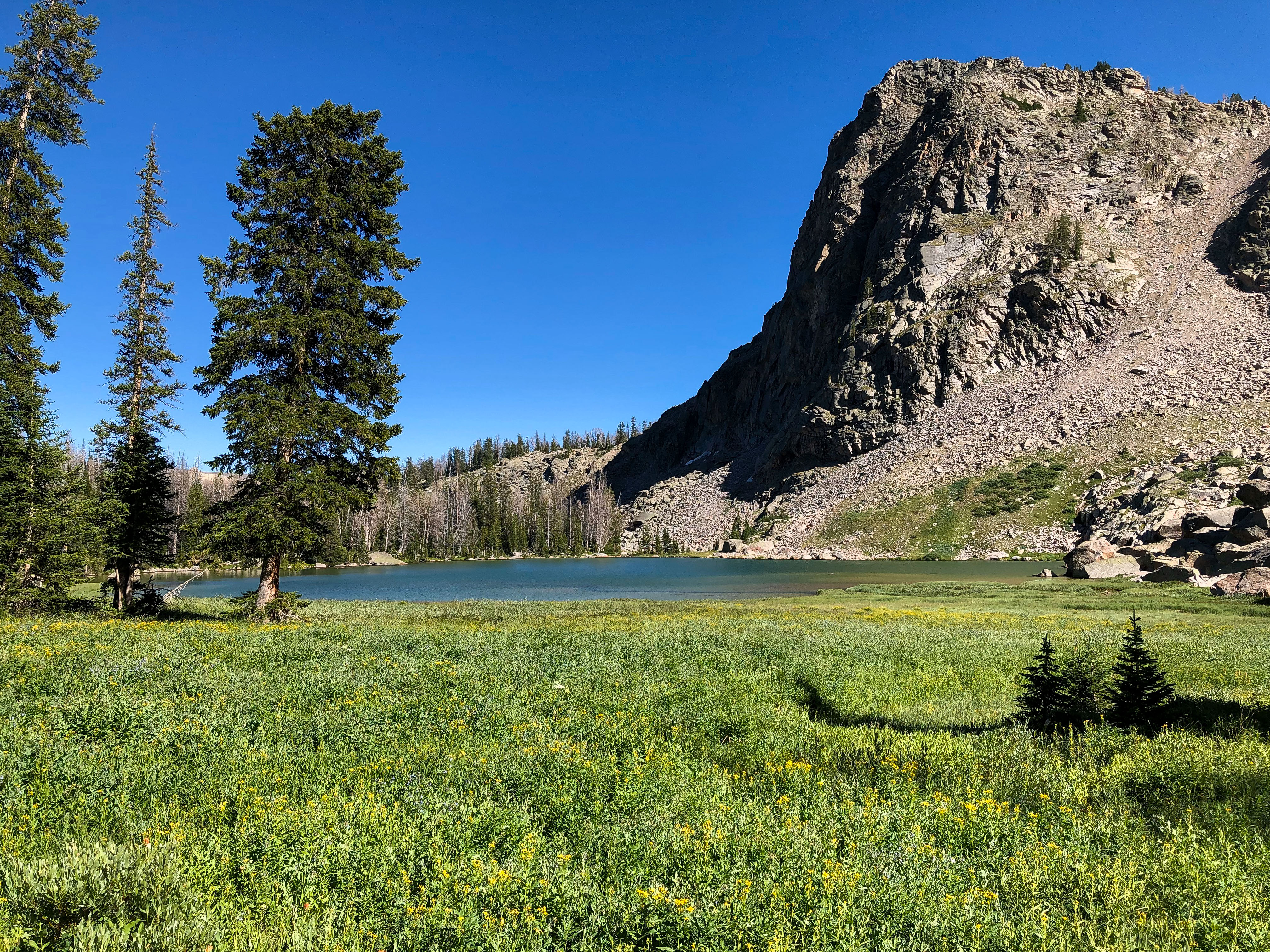
Another shot.
Another shot.
These photos were actually taken in the
afternoon.
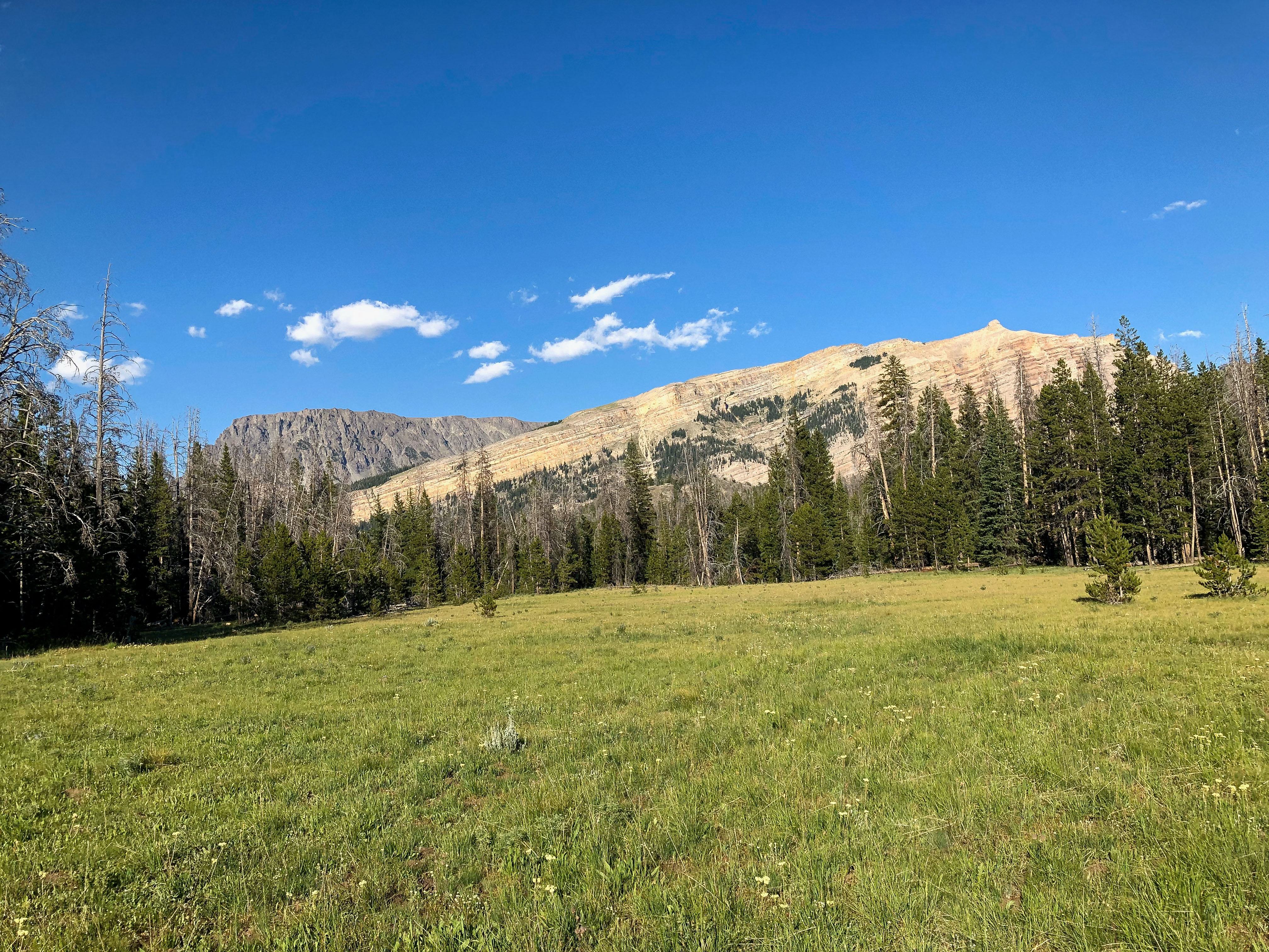
This bluff is visible in some of my higher
elevation photos that are shown below.
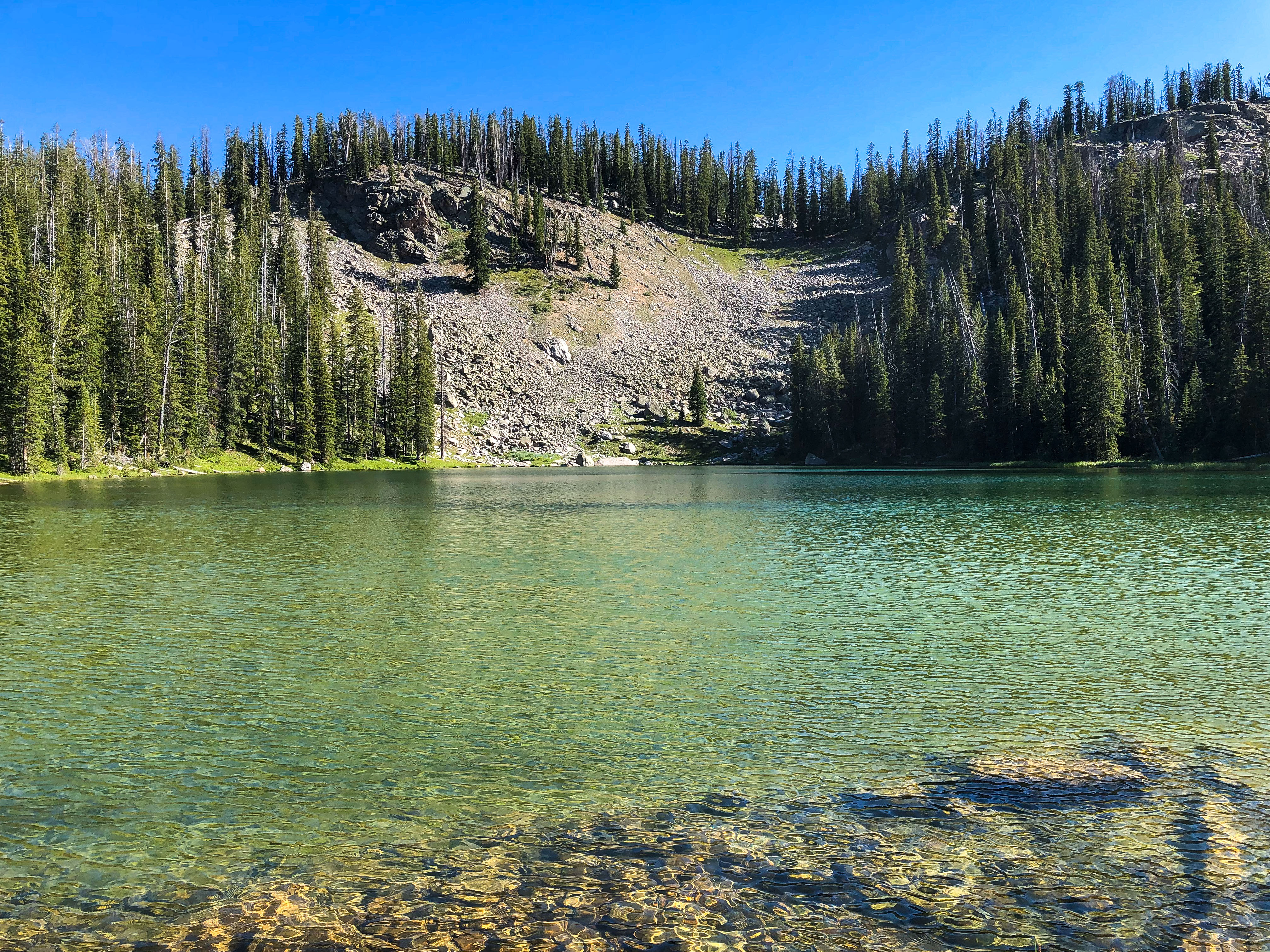
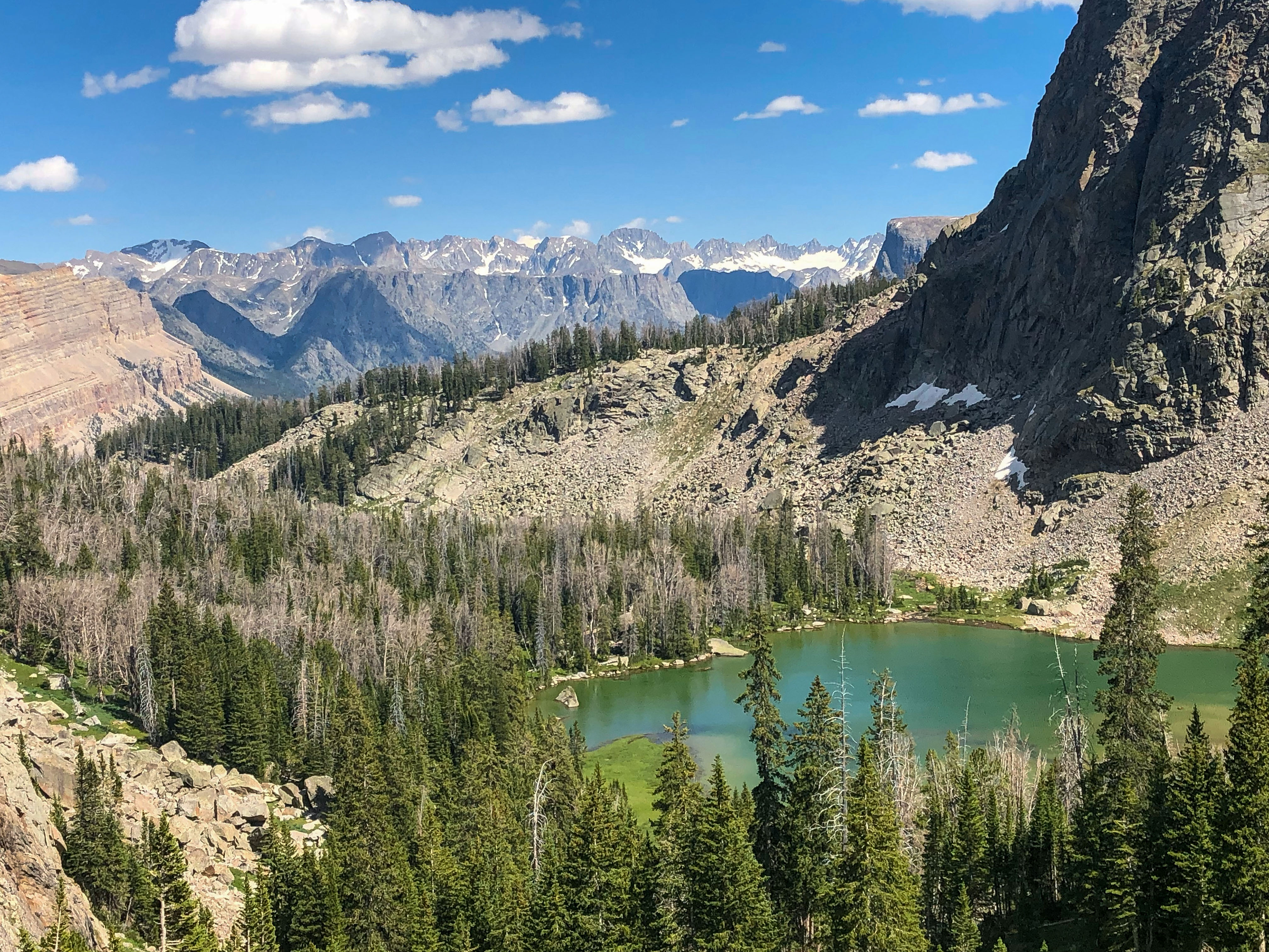
This is at the back of the last lake, Valaite
Lake. In the center of the photo is
run-off from the glacier, feeding the lakes.
Water is visible just off the right of
center. I hiked to the right of this photo.
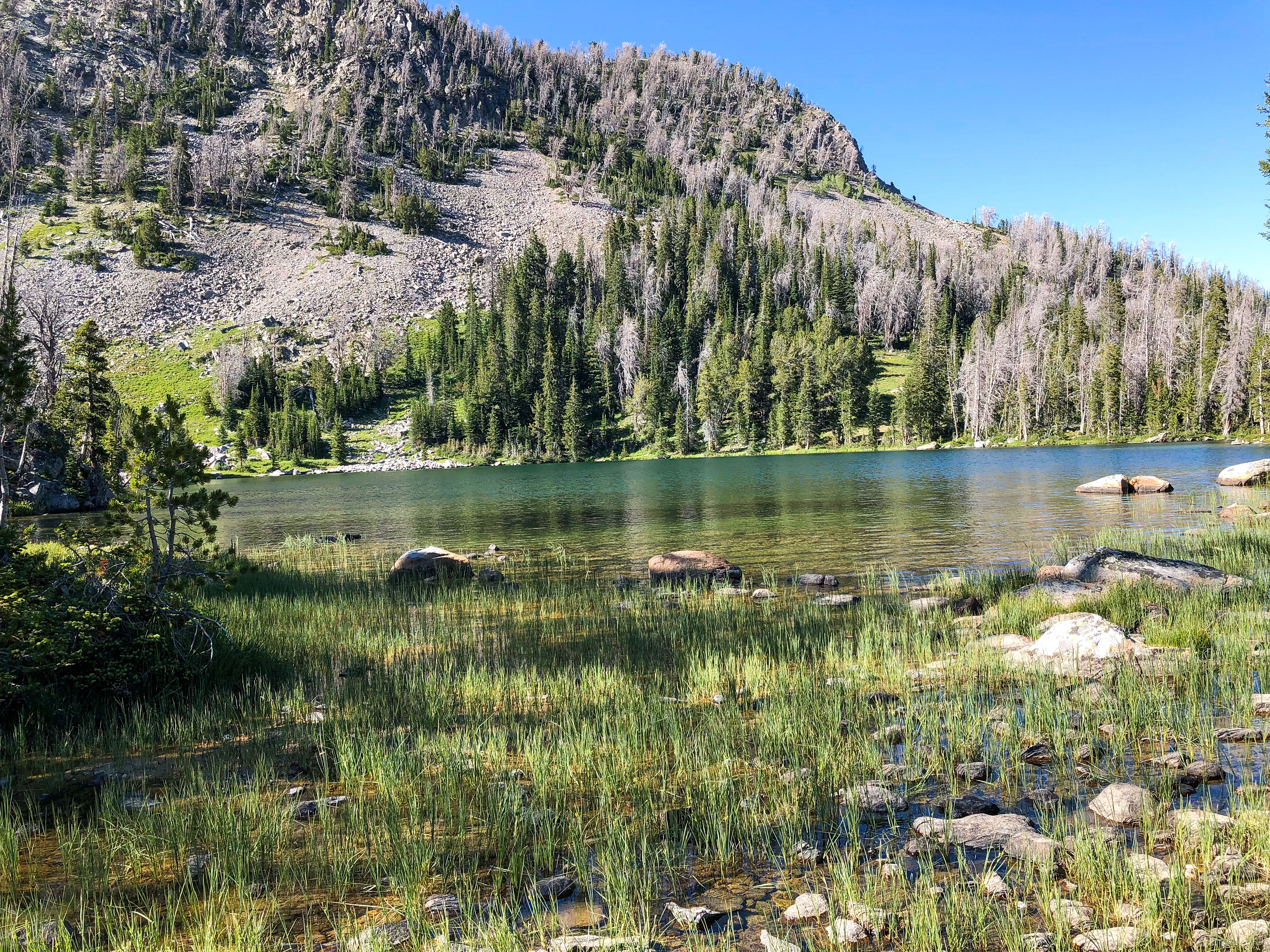
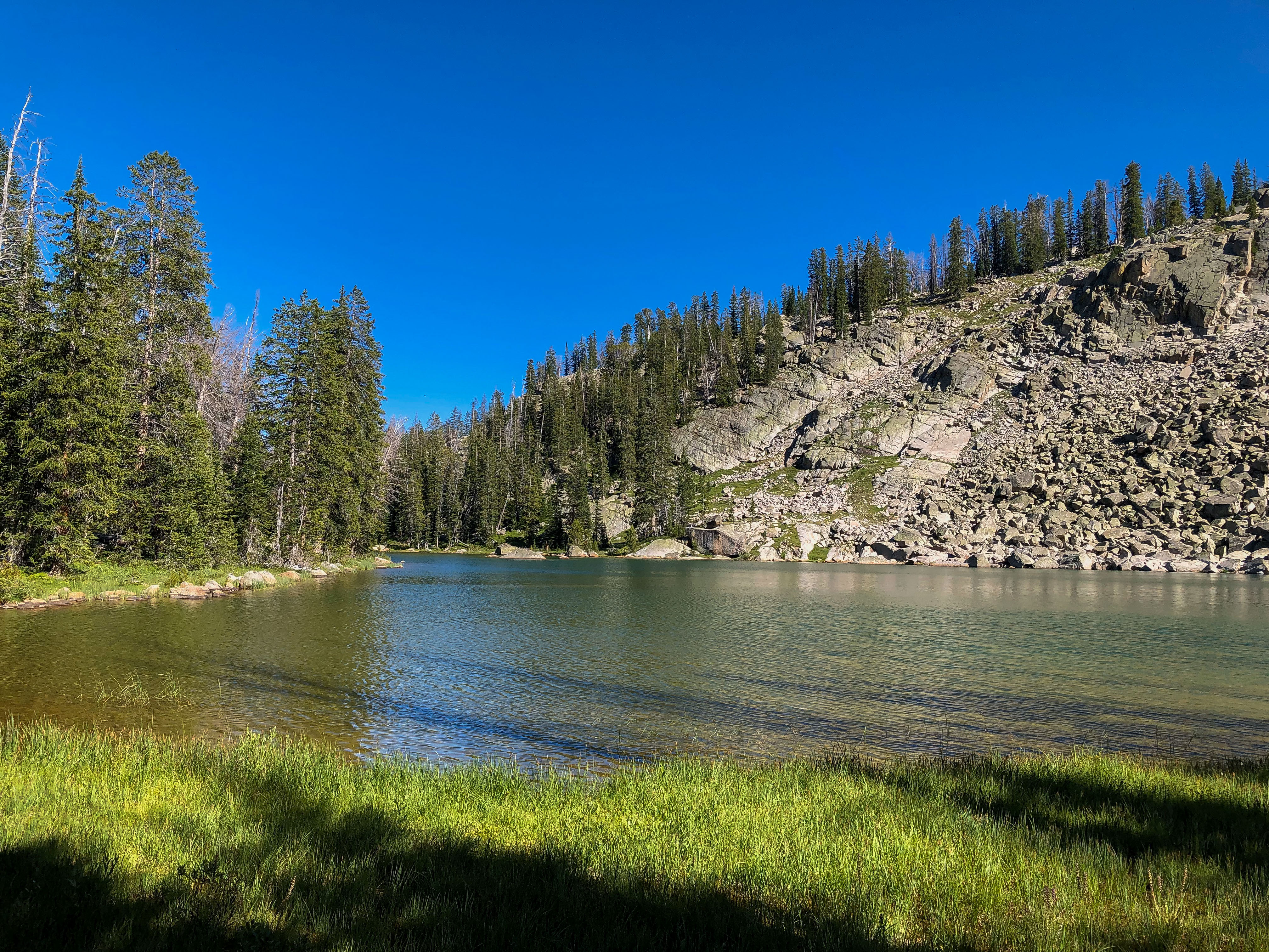
This is in the center of the Twin Lakes,
through which the trail passes. This is
two lakes below Valaite.
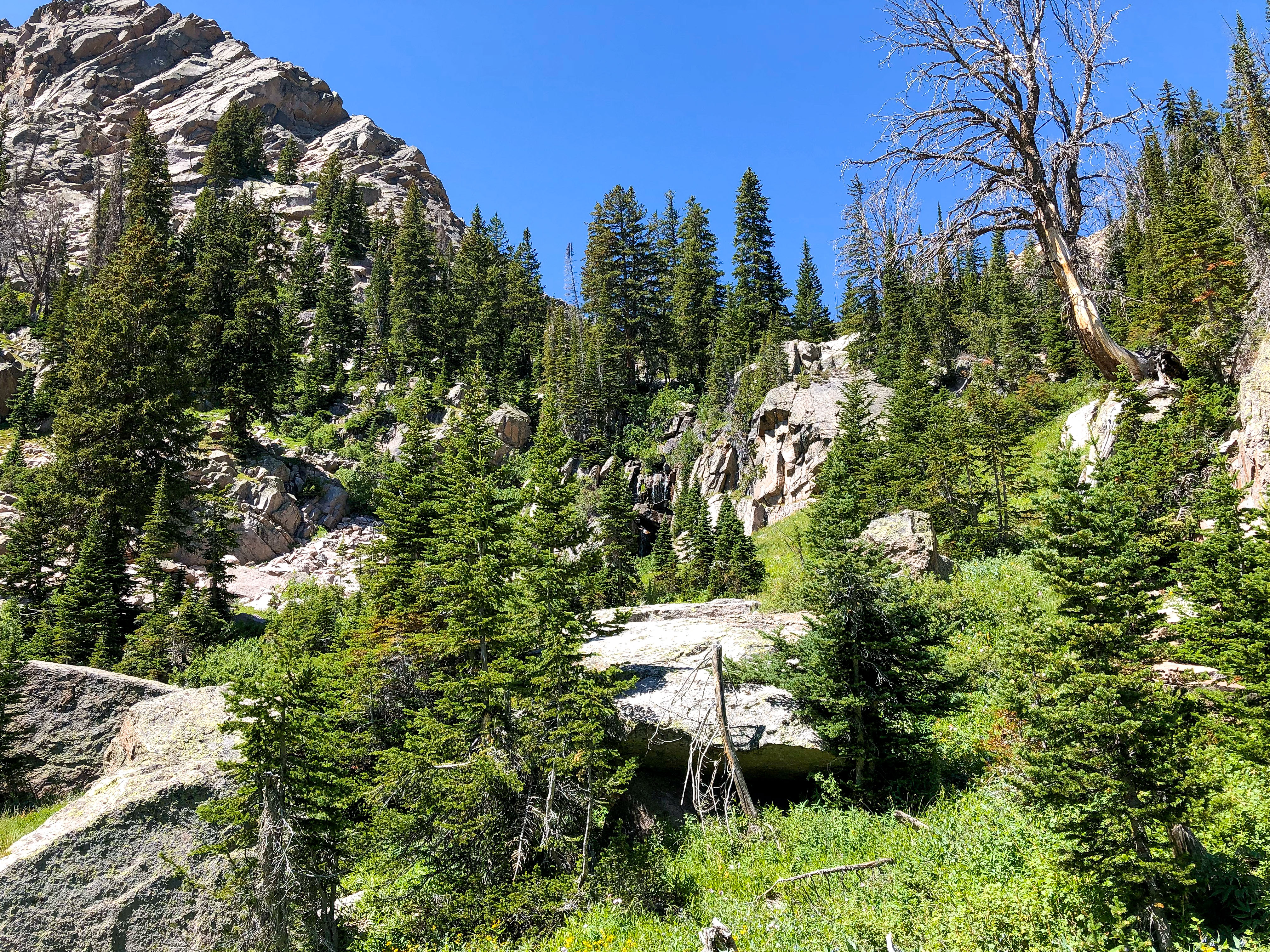
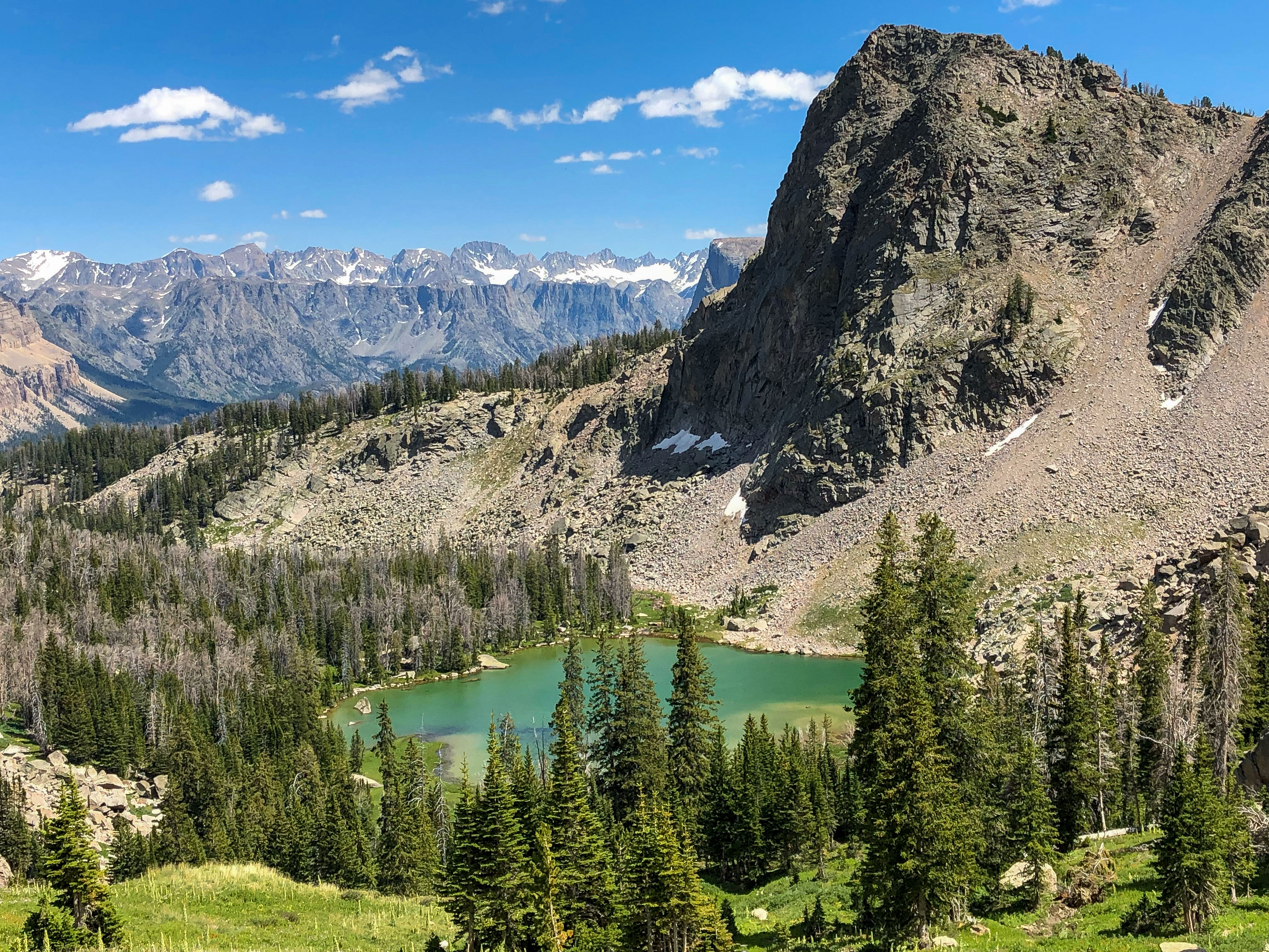
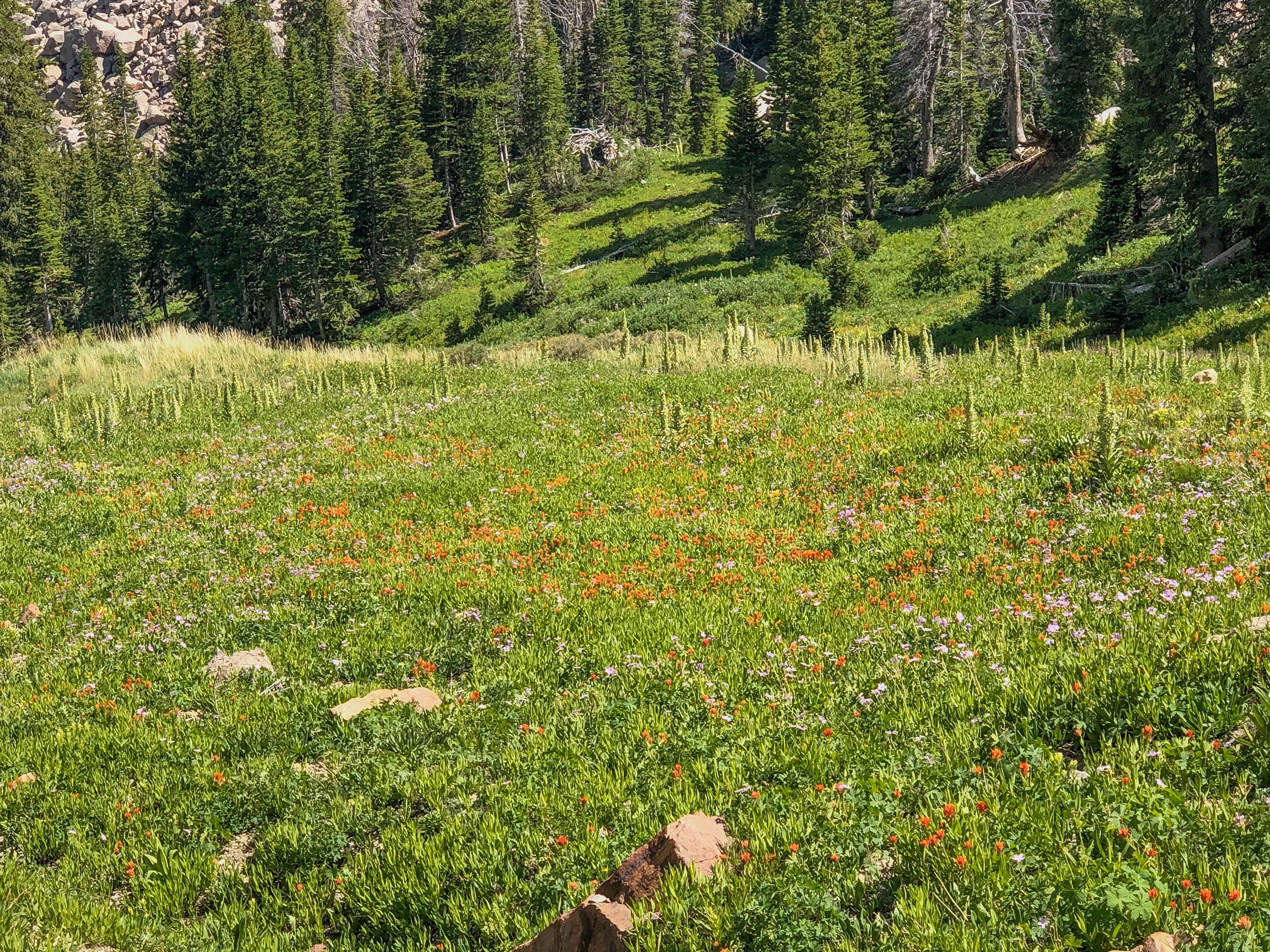
Near the top of the overgrown scree
slope that rises above Valaite Lake.
Really good spot for butterflies, including Kriemhild Fritillary.
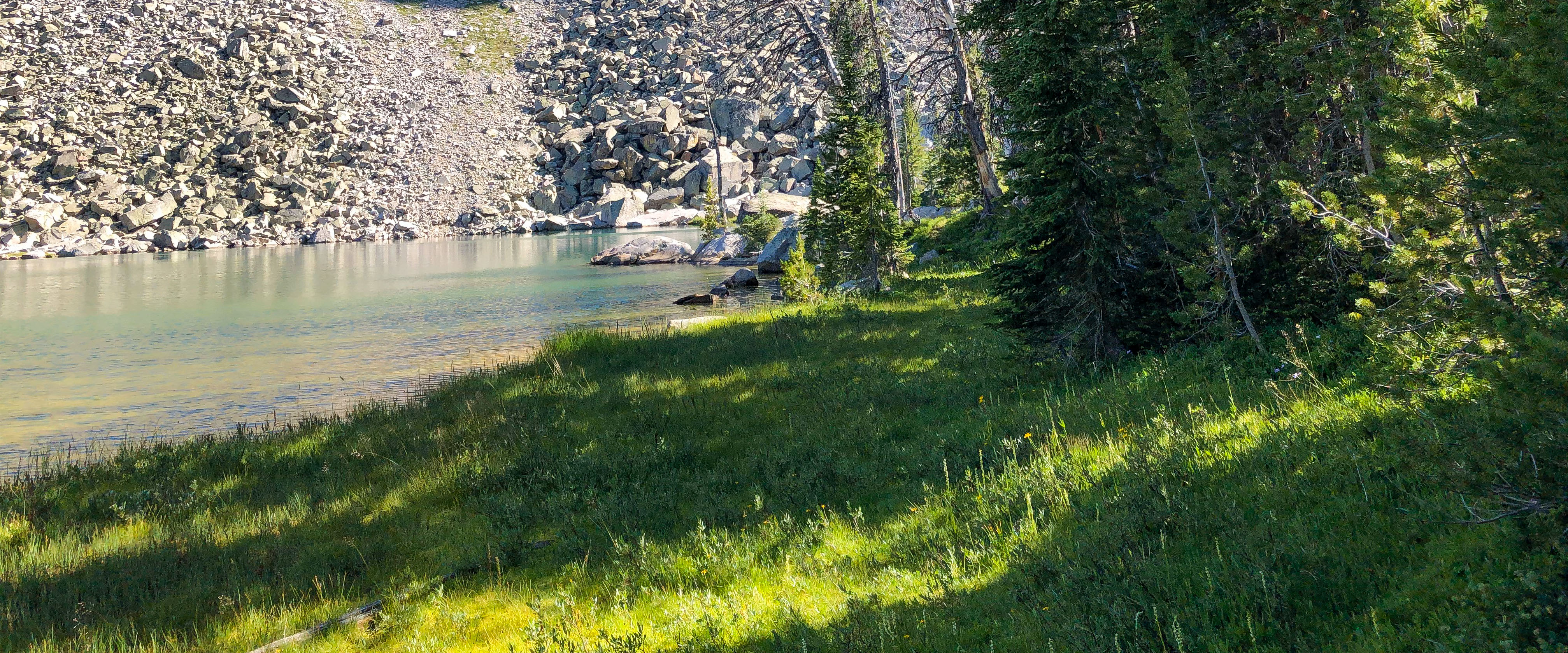
At the back of Valaite Lake, near the
glacier flow inlet.
Another view at the inlet.
To the north of Valaite Lake.
Another view from the inlet.
A panorama.
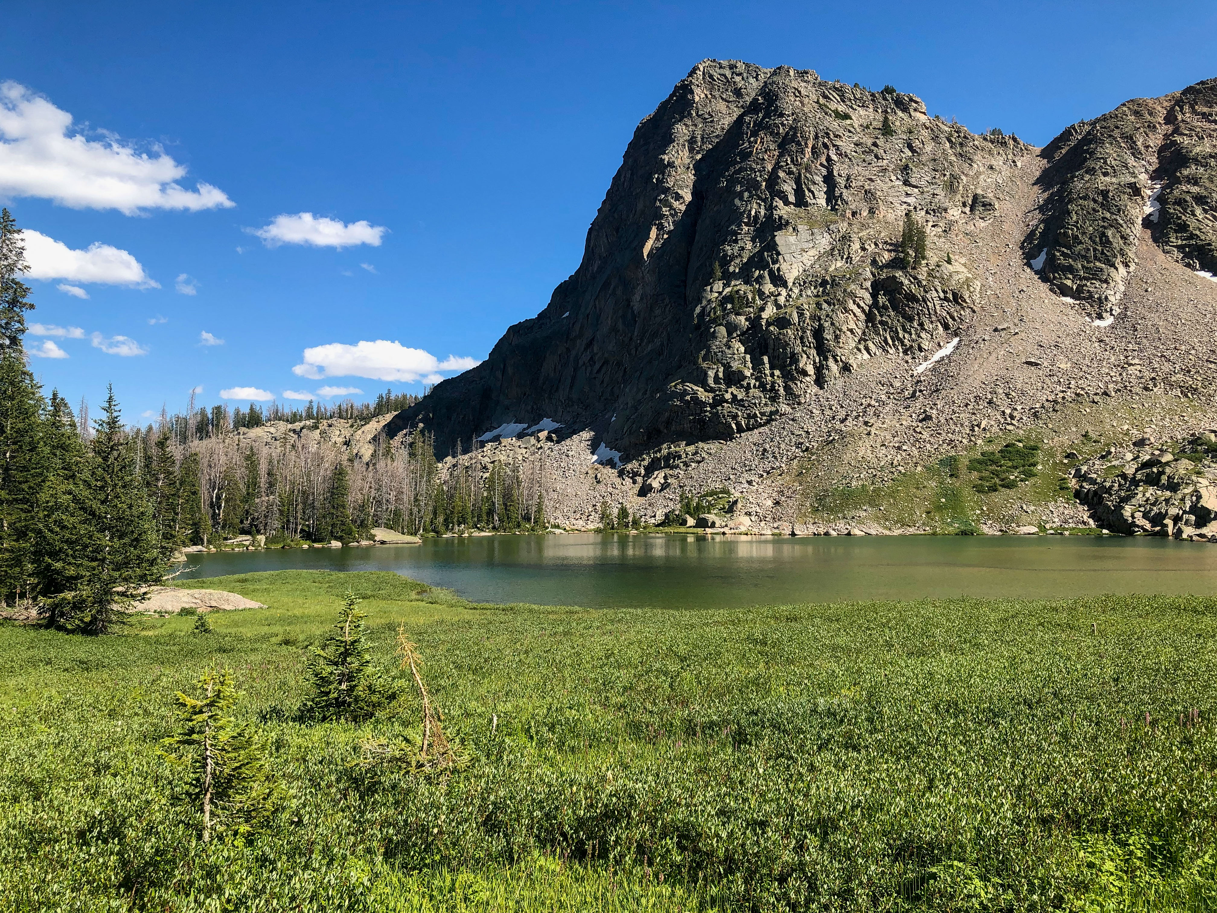
This is at the north end of the Twin
Lakes.
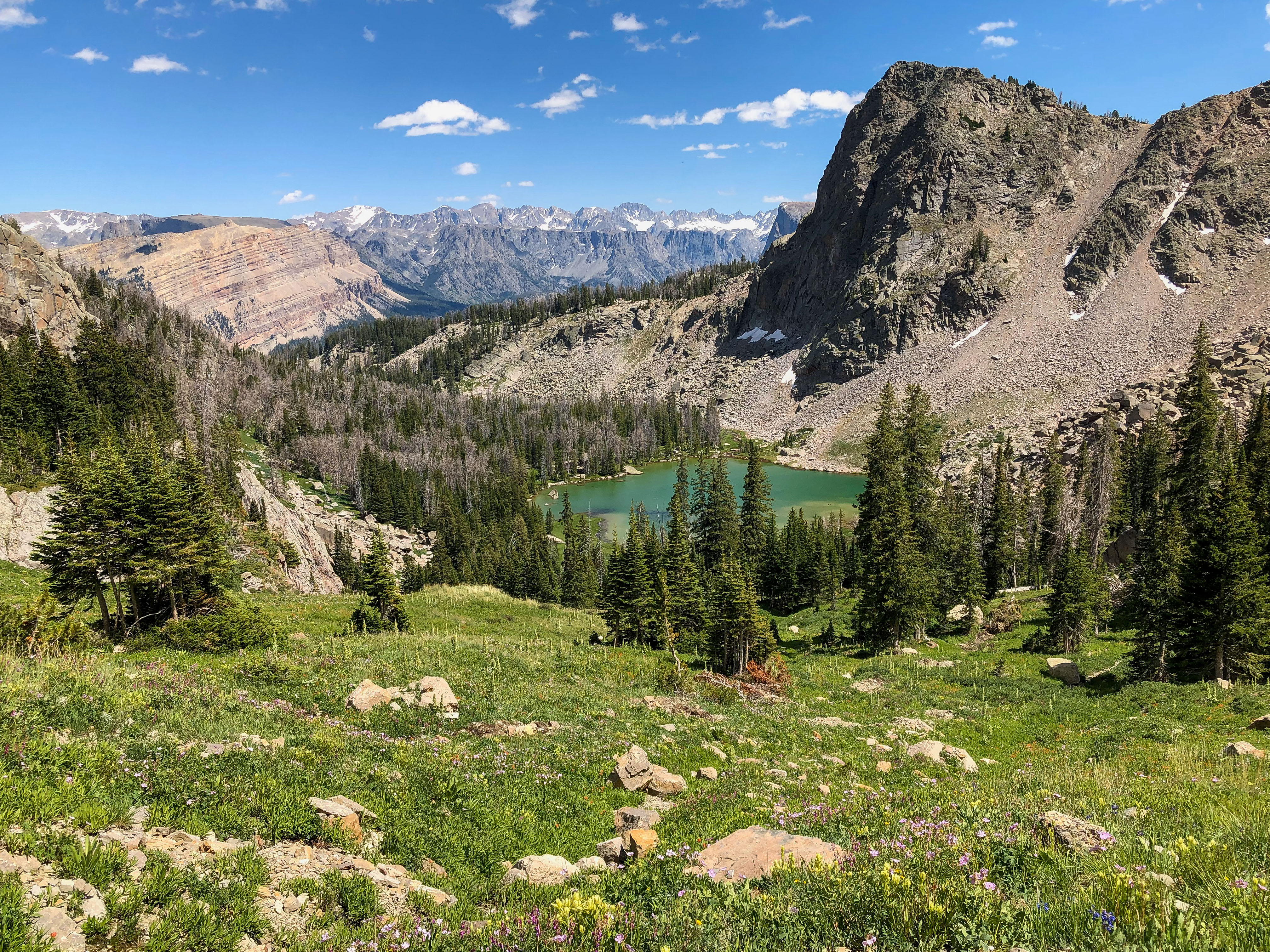
Nice view of Valaite Lake.
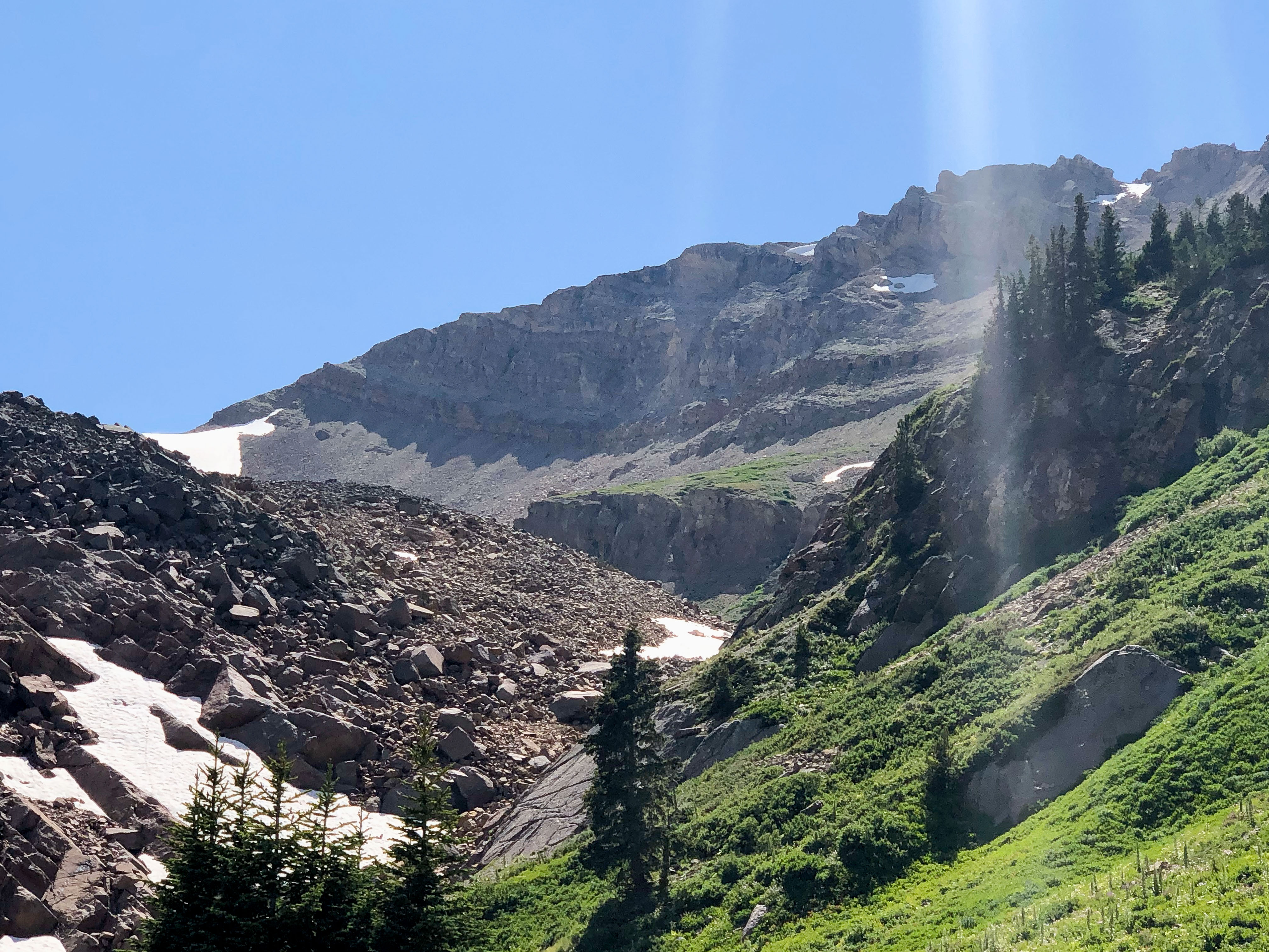
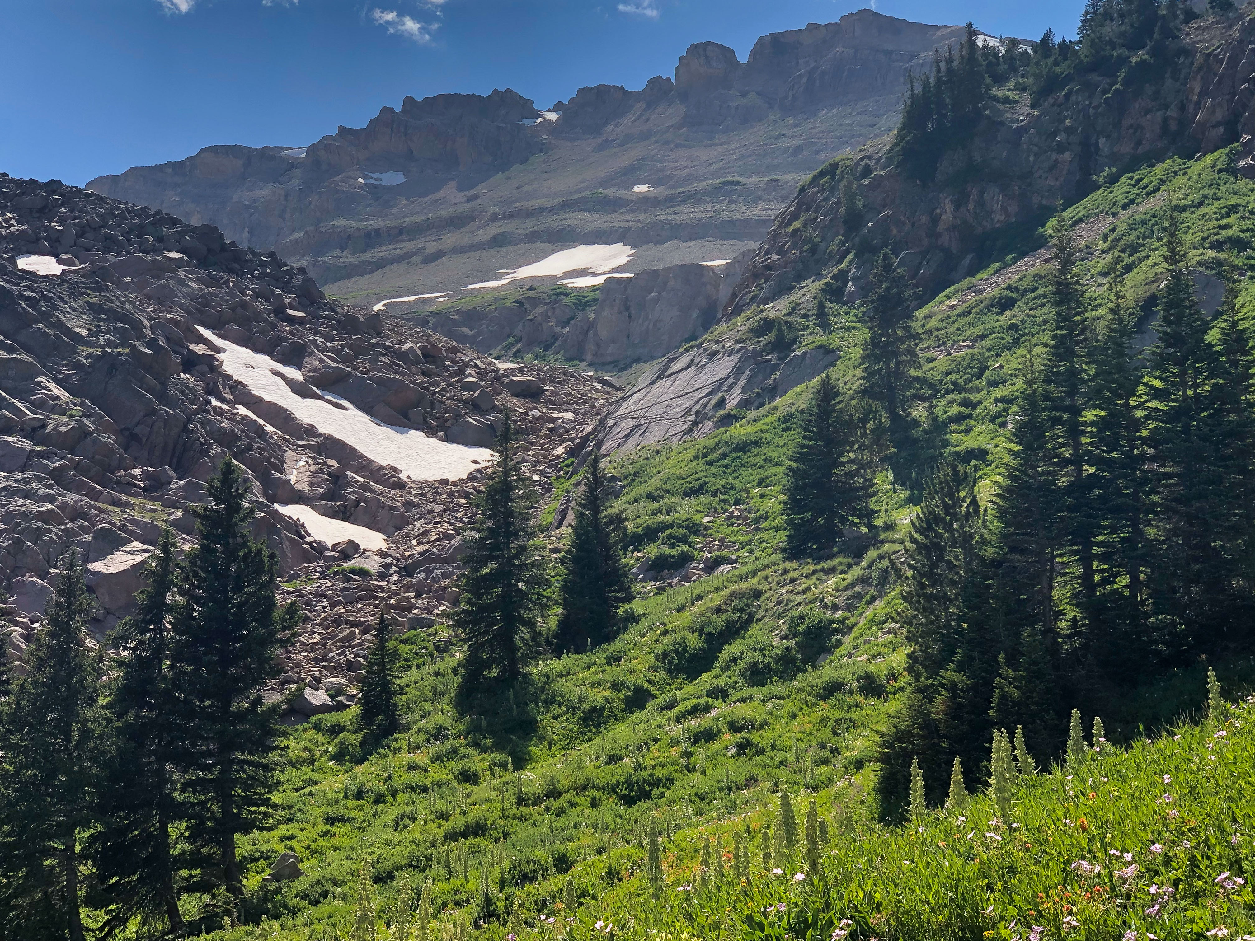
This is 4 hours into the hike. I hike
through the rockslide gap just visible to
the left of center, and in about an hour
make it to the glacier.
Another view of the route. I hike to the
right side of the snow pack in the middle
of the photo, and then head left under the
grass-covered ridge, to just below the
glacier if the left center of the photo.
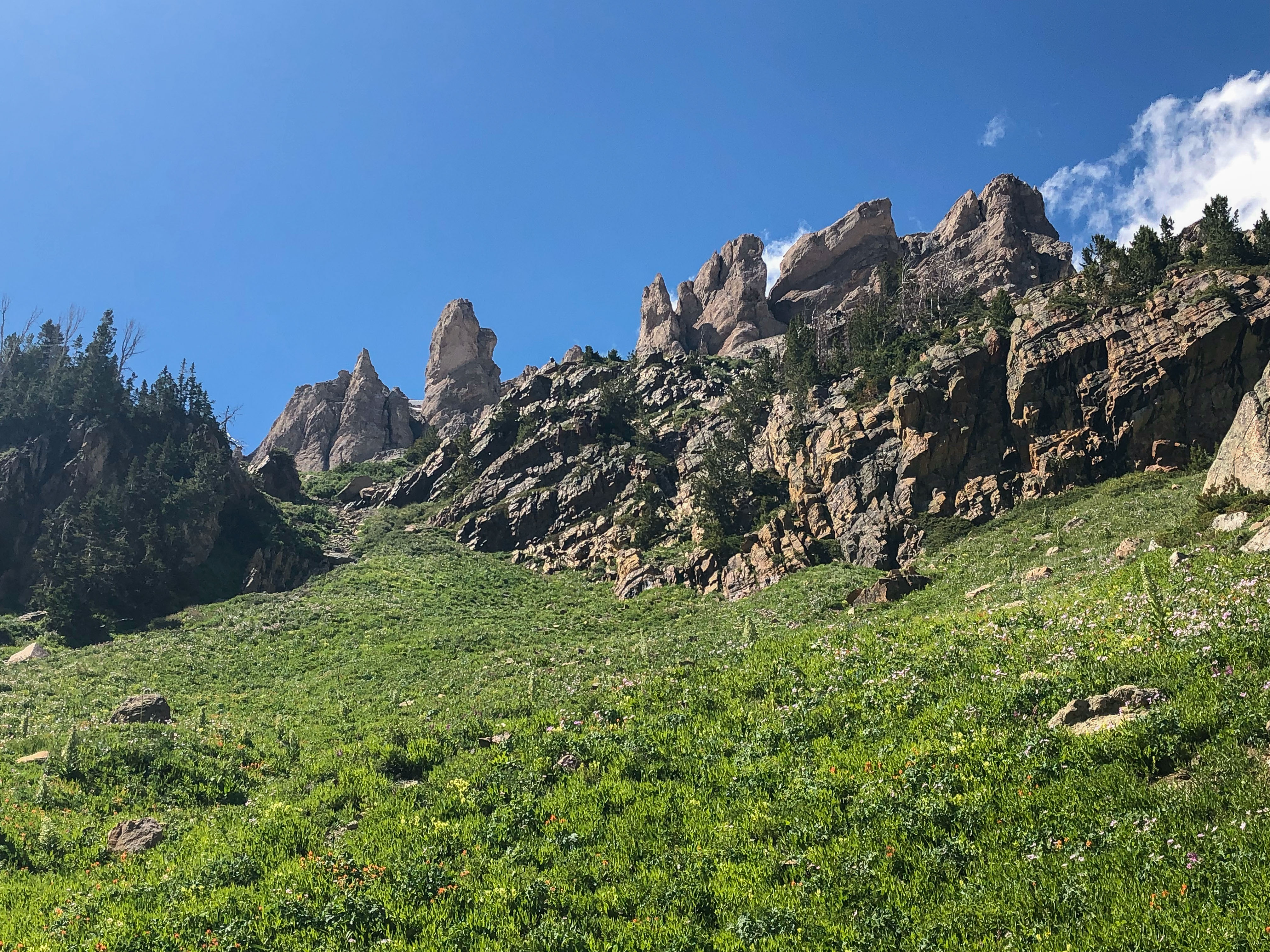
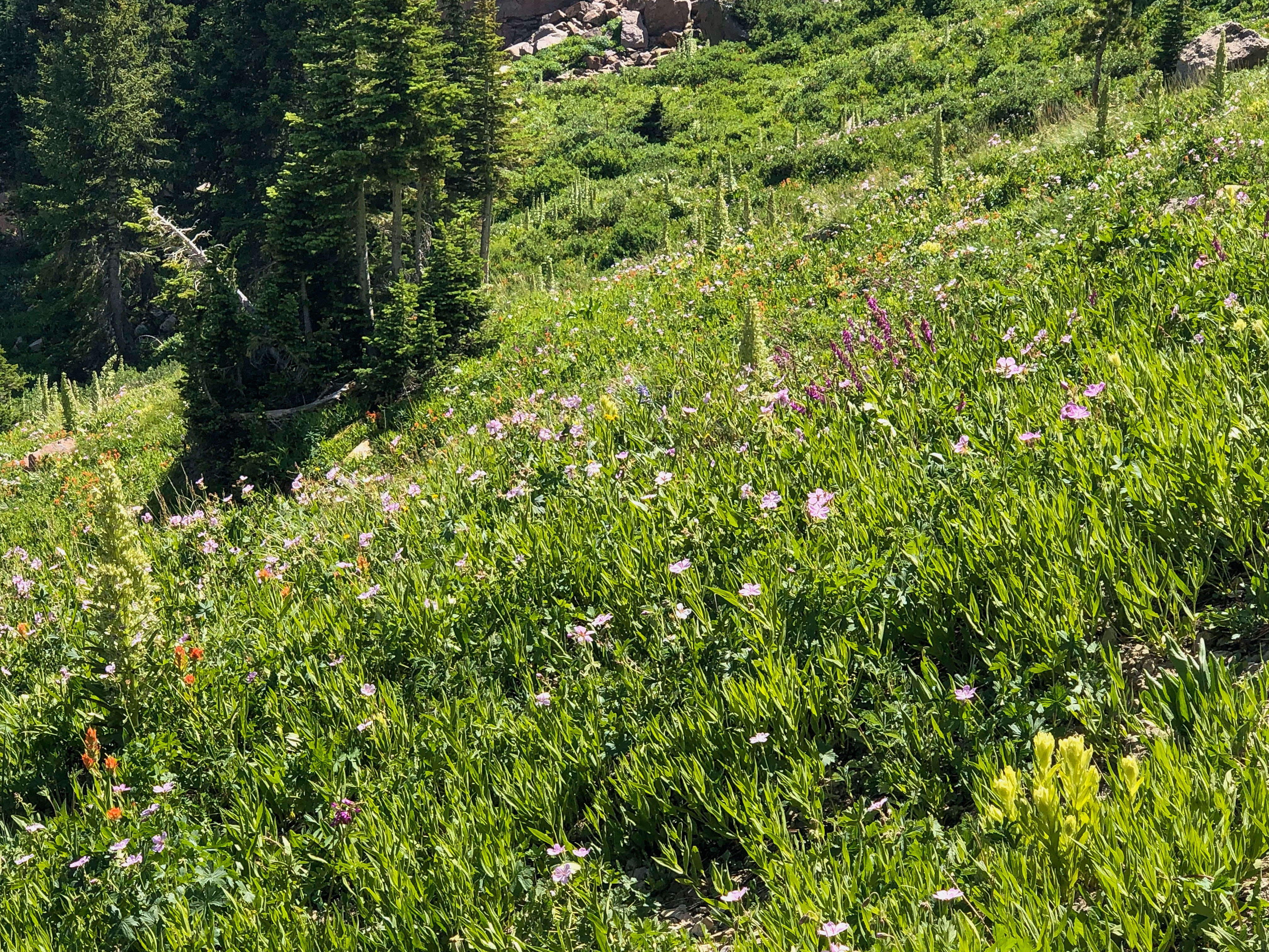
This is the meadow that I shot the gap
photos. Really good spot for the Kriemhild Fritillary.
The gap hike is steep and has treacherous
footing, and some of the very large
boulders are unstable, so I stay to the
right.
The incline is about 45 degrees, so it's
slow going. Note the large plant on the
hillside, this is Elkweed.
Elkweed produces flowers only once in
its lifetime of 20 to 80 years and then
dies. It is thus called a monocarpic plant,
i.e., one which grows many years,
flowers once, then dies. Perhaps the
most well know monocarpic plant is the
Southwest's Century Plant. Periodically,
large numbers of Elkweed flower in
unison. When such a coordinated
flowering occurs, hundreds or even
thousands of plants flower within a small
area (often a sunny, open, grassy hillside,
as shown in the previous photo). This
was the case through the Wind River
Mountains in 2019.
Looking back to Valaite Lake.
Now I am at the high end of my hike. I
had lunch here, and collected a few P.
occidentalis and P. glandon, females of
the latter. I took B. improba here in
2003, but found none on this trip.
Another view of the glacier, which is a
really tiny thing, relative to the glaciers
found in Canada and elsewhere.
Nice view of the glacier.
Another view.
This is alpine tundra, this is Salix
reticulata, the host plant for B. improba.
A closer view.
Now looking back to the trail, which
bends around the dip left of center. The
footing is really soggy here.
Closer view. I did find C. whitneyi and
E. magdalena here.
Another view back to the Green River
Lakes.
Took this around 4 pm on August 12th,
as I started back. Takes only 3.5 hours
to return, and the hike is all downhill.
Caught these on July 27, the day before
one of my hikes. Each was 20 inches,
and caught in the Green River, using a #1
Mepps with 4 lb test. My first Brown
trout.
Previous photo was a little out of focus,
but this one is sharp.
Camped along the river for 2 days, before
moving to Idaho.