2013 Vacations photographs
Part B
Photographs are shown in chronological order.
For the first part of the vacation photos, click here.
For the third part of the vacation photos, click here.
Midnight over Rengleng River. Friday July 5, 2013.
Unidentified bird, probably a heron.
Pacific Loons and young, with a muskrat in the background.
The ferry across the Mackenzie River.
This ferry has three stops, including this land-locked town, Tsiigehtchic, at the confluence of the Arctic Red River and the Mackenzie River.
Traffic waiting on the south side of the river.
Saturday night campsite. See below for how the rain engulfed this site on Tuesday.
Beer cooling in Rock Creek.
This is Rock Creek, and Rock Creek Campground.
Sunday morning I spied this grizzly at 450 km, just south of Wright Pass. The Richardson Mountains have the highest grizzly density in the Arctic.
He kept looking back, he knew I was watching.
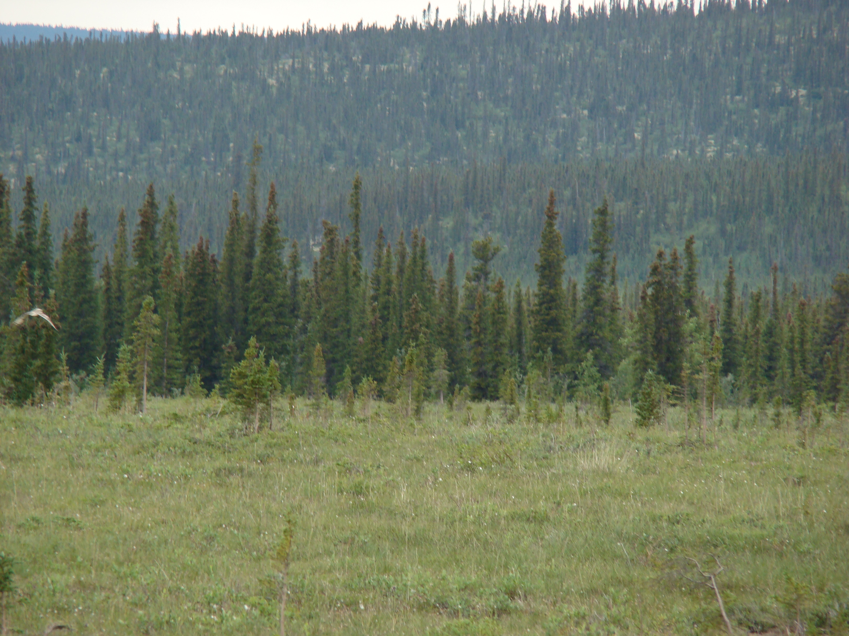
Tundra shot around 440 km.
Spied this Short-eared owl.
He just perched.
Monday at Glacier Creek. The Eagle Plains Lodge takes two 5,000 gallon loads of water here each day. This gentleman does it all, from trucking the water to treating it with chemicals.
This is my campsite of Saturday night, now underwater on Tuesday night. I choose to leave the campground for higher ground. Rained about 3 inches on Tuesday.
Wednesday, July 10, 2013. Just a km south of the Rock Creek Campground entrance. You can see the drainage pipe, far too small for the load which passed the night before. Essentially, the road became a dam that buckled under the force of the water.
Lucky for me I had driven 3 km south and camped in a gravel pit on higher ground. Also consider that if I had not shortened my backpacking trip, I would have been stranded in the mountains, unable to cross the many rivers I encountered.
Same spot. That's an abandoned vehicle shed.
Again, this is about 30 feet across.
Tons of flotsam deposited overnight.
This shot shows how the water builds up on the uphill side of the road.
More flotsam. There was nothing here the night before.
That's the Yukon road crew in the distance.
You can see how the water had flowed over the road and washed away the downstream portion. I drove across this the night before, when about an inch of water was present. This is Sheep Creek.
Nicely shows the water damage.
Same location as the above shot, looking north.
About 10 km north of the Arctic Circle, I worked this hill on Sunday to take B. astarte distincta, O. uhleri, and C. thecla, to name a few.
Short-eared owl.
Another Short-eared Owl
This is Glacier Creek. You can see the green hose used to fill the water truck along the bank in the upper left. I lost 4 beers to the flood Tuesday night. Normally, this is a tranquil little creek.
I was locked into the Dempster! This is the gate at Eagle Plains.
This was the meanest Grizzly I ever encountered! I filmed it for 5 minutes coming down a hill, view the video by clicking here, and it entered the trees by a creek, where I lost sight. Stood by my car and waited for it to come to the road. It appeared 40 yards from my car, and immediately bluff charged me twice, running 4-5 feet each time. I sent a bear banger her way, and she ran up a nearby hill. These photographs show her walking away. You can see she is very old.
Tent site at Engineer Creek Campground, Wednesday night.
Grey Jay.
Thursday morning I hiked a small hill south of the campground. These are scenery shots.
From same hill.
Caribou was here.
Not too far from where I took a bog polaris. Was cool this day, about 50.
Nice shot of fireweed on a slope.
This was a great spot for grayling! I took and ate five 2 pound fish from this hole Thursday.
Same fishing hole.
Looking upstream. Click here for a video of me fishing.
Looking downstream of the hole. I took about 50 grayling here, all under 2 pounds.
A small pond and hills.
Thursday night in Tombstone Provincial Park.
Neat clouds. These are Lenticular clouds, which typically form as stable moist air flows over a mountain or a range of mountains. Under these conditions, a series of large-scale standing waves may form on the downwind side. Moisture in the air may condense to form lenticular clouds, if the temperature at the crest of the wave drops to the dew point. As the moist air moves back down into the trough of the wave, the cloud may evaporate back into vapor. Long strings of lenticular clouds sometimes form near the crest of successive waves, creating "wave clouds."
Saw this guy around midnight on Thursday. I rarely see foxes in good weather.
Friday morning, July 12. Brrr!
Just north of the Park visitor center the river still had ice.
Swallows.
Tombstone Park visitor center from the north.
Scenery shots from the same hill.
Same hill.
This is the end of Part B. Go to Part C.
Part B
Photographs are shown in chronological order.
For the first part of the vacation photos, click here.
For the third part of the vacation photos, click here.
Midnight over Rengleng River. Friday July 5, 2013.
Unidentified bird, probably a heron.
Pacific Loons and young, with a muskrat in the background.
The ferry across the Mackenzie River.
This ferry has three stops, including this land-locked town, Tsiigehtchic, at the confluence of the Arctic Red River and the Mackenzie River.
Traffic waiting on the south side of the river.
Saturday night campsite. See below for how the rain engulfed this site on Tuesday.
Beer cooling in Rock Creek.
This is Rock Creek, and Rock Creek Campground.
Sunday morning I spied this grizzly at 450 km, just south of Wright Pass. The Richardson Mountains have the highest grizzly density in the Arctic.
He kept looking back, he knew I was watching.
Tundra shot around 440 km.
Spied this Short-eared owl.
He just perched.
Monday at Glacier Creek. The Eagle Plains Lodge takes two 5,000 gallon loads of water here each day. This gentleman does it all, from trucking the water to treating it with chemicals.
This is my campsite of Saturday night, now underwater on Tuesday night. I choose to leave the campground for higher ground. Rained about 3 inches on Tuesday.
Wednesday, July 10, 2013. Just a km south of the Rock Creek Campground entrance. You can see the drainage pipe, far too small for the load which passed the night before. Essentially, the road became a dam that buckled under the force of the water.
Lucky for me I had driven 3 km south and camped in a gravel pit on higher ground. Also consider that if I had not shortened my backpacking trip, I would have been stranded in the mountains, unable to cross the many rivers I encountered.
Same spot. That's an abandoned vehicle shed.
Again, this is about 30 feet across.
Tons of flotsam deposited overnight.
This shot shows how the water builds up on the uphill side of the road.
More flotsam. There was nothing here the night before.
That's the Yukon road crew in the distance.
You can see how the water had flowed over the road and washed away the downstream portion. I drove across this the night before, when about an inch of water was present. This is Sheep Creek.
Nicely shows the water damage.
Same location as the above shot, looking north.
About 10 km north of the Arctic Circle, I worked this hill on Sunday to take B. astarte distincta, O. uhleri, and C. thecla, to name a few.
Short-eared owl.
Another Short-eared Owl
This is Glacier Creek. You can see the green hose used to fill the water truck along the bank in the upper left. I lost 4 beers to the flood Tuesday night. Normally, this is a tranquil little creek.
I was locked into the Dempster! This is the gate at Eagle Plains.
This was the meanest Grizzly I ever encountered! I filmed it for 5 minutes coming down a hill, view the video by clicking here, and it entered the trees by a creek, where I lost sight. Stood by my car and waited for it to come to the road. It appeared 40 yards from my car, and immediately bluff charged me twice, running 4-5 feet each time. I sent a bear banger her way, and she ran up a nearby hill. These photographs show her walking away. You can see she is very old.
Tent site at Engineer Creek Campground, Wednesday night.
Grey Jay.
Thursday morning I hiked a small hill south of the campground. These are scenery shots.
From same hill.
Caribou was here.
Not too far from where I took a bog polaris. Was cool this day, about 50.
Nice shot of fireweed on a slope.
This was a great spot for grayling! I took and ate five 2 pound fish from this hole Thursday.
Same fishing hole.
Looking upstream. Click here for a video of me fishing.
Looking downstream of the hole. I took about 50 grayling here, all under 2 pounds.
A small pond and hills.
Thursday night in Tombstone Provincial Park.
Neat clouds. These are Lenticular clouds, which typically form as stable moist air flows over a mountain or a range of mountains. Under these conditions, a series of large-scale standing waves may form on the downwind side. Moisture in the air may condense to form lenticular clouds, if the temperature at the crest of the wave drops to the dew point. As the moist air moves back down into the trough of the wave, the cloud may evaporate back into vapor. Long strings of lenticular clouds sometimes form near the crest of successive waves, creating "wave clouds."
Saw this guy around midnight on Thursday. I rarely see foxes in good weather.
Friday morning, July 12. Brrr!
Just north of the Park visitor center the river still had ice.
Swallows.
Tombstone Park visitor center from the north.
Scenery shots from the same hill.
Same hill.
This is the end of Part B. Go to Part C.